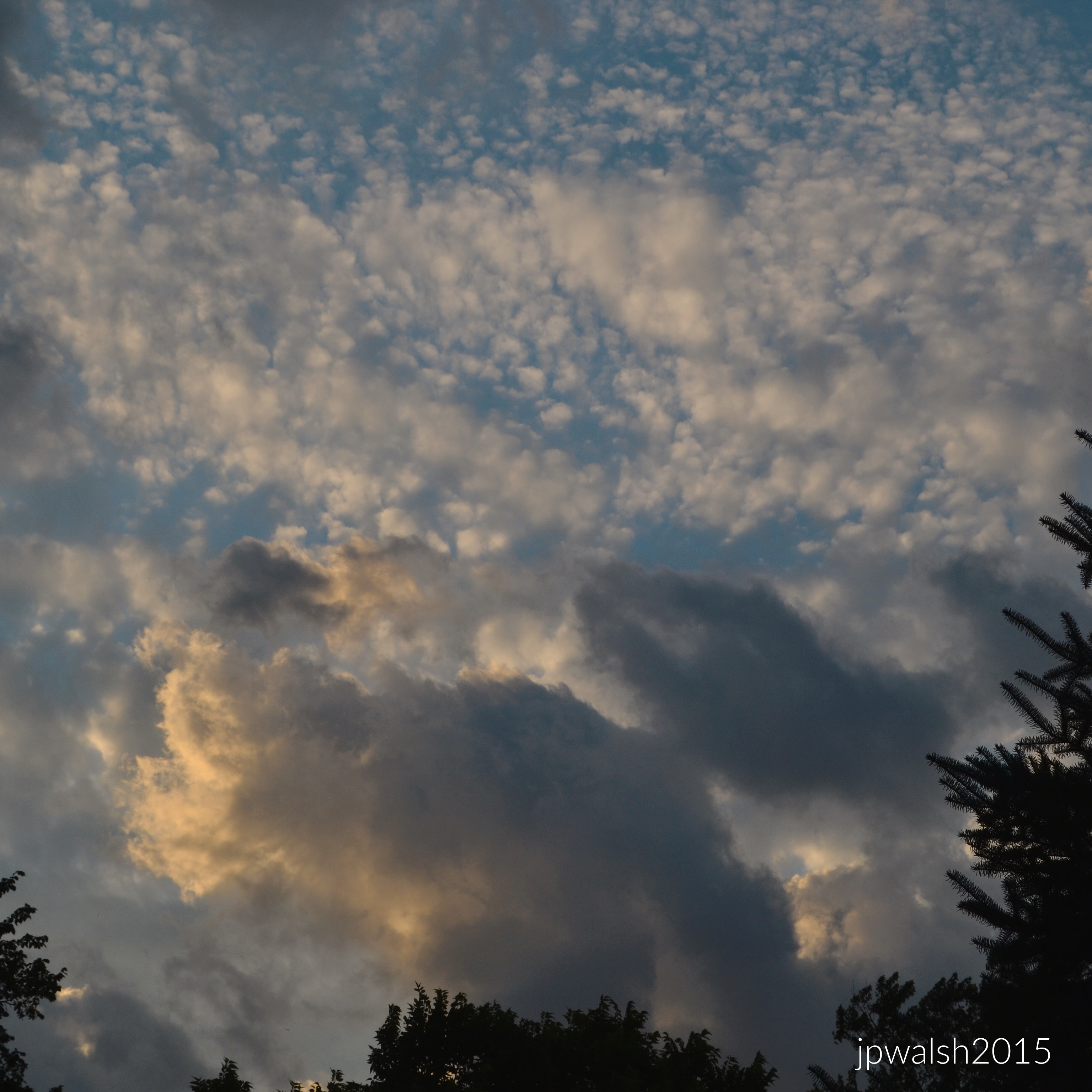
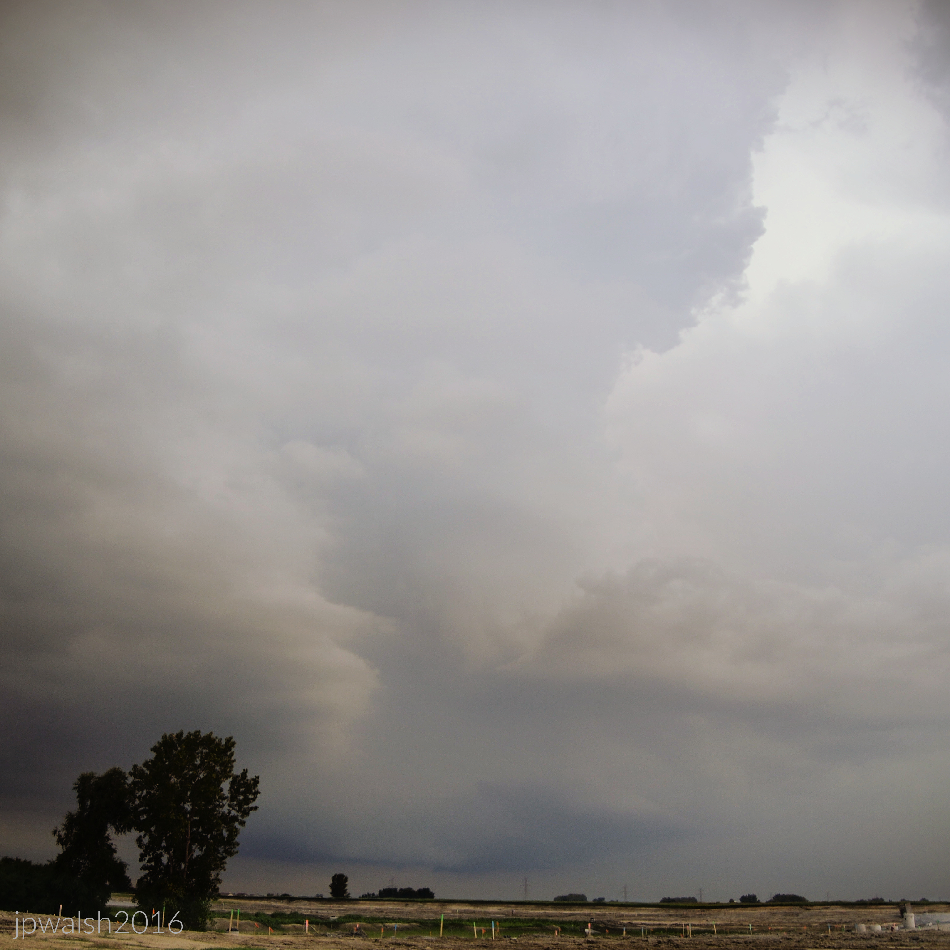
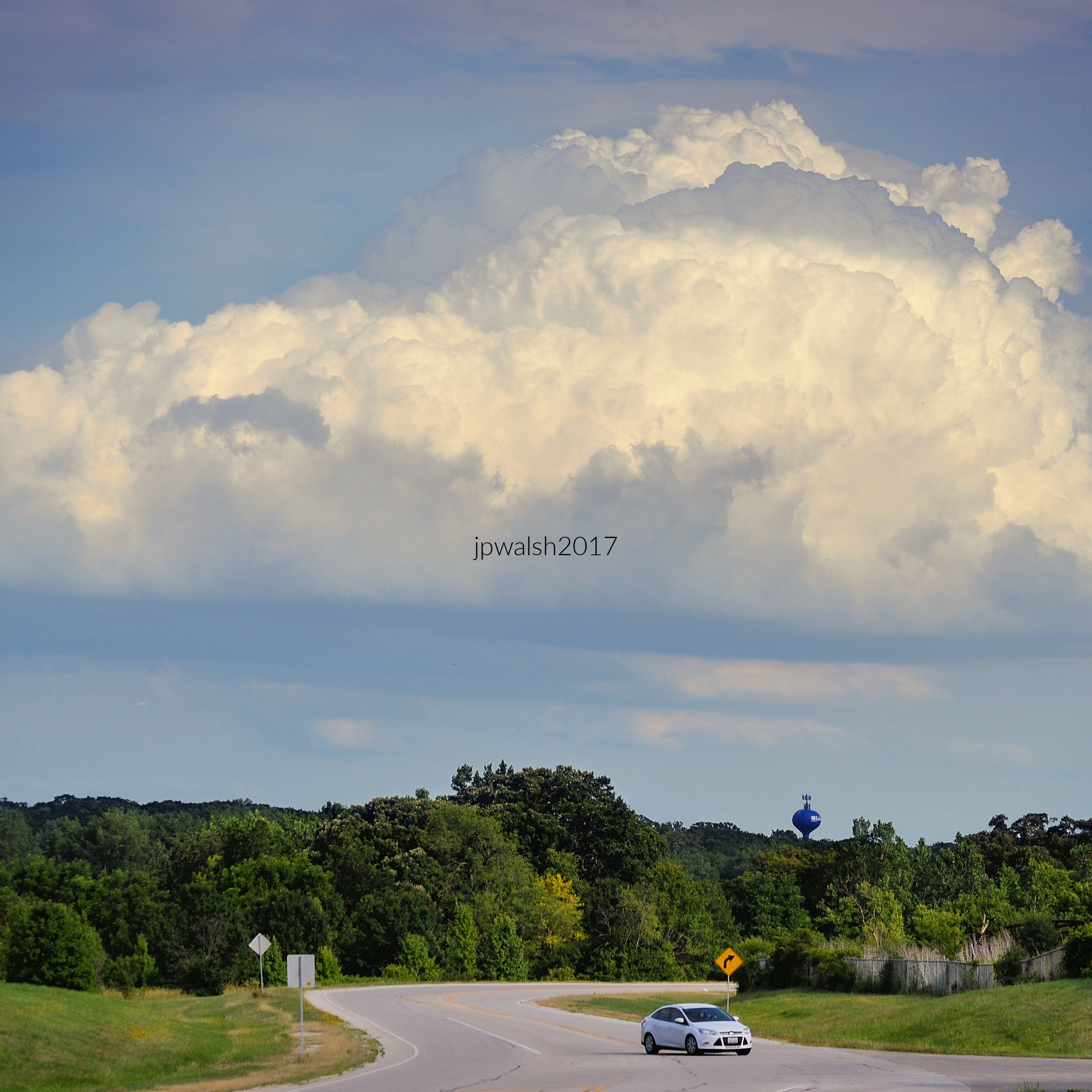
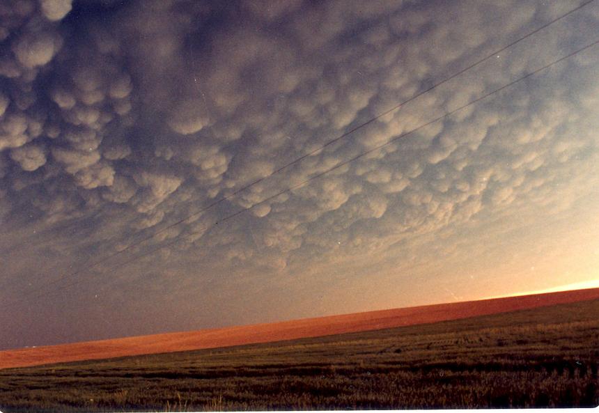
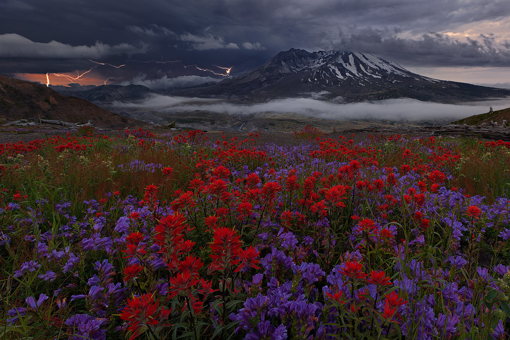
FEATURE Image: June 2023 85% 7.86 mb.


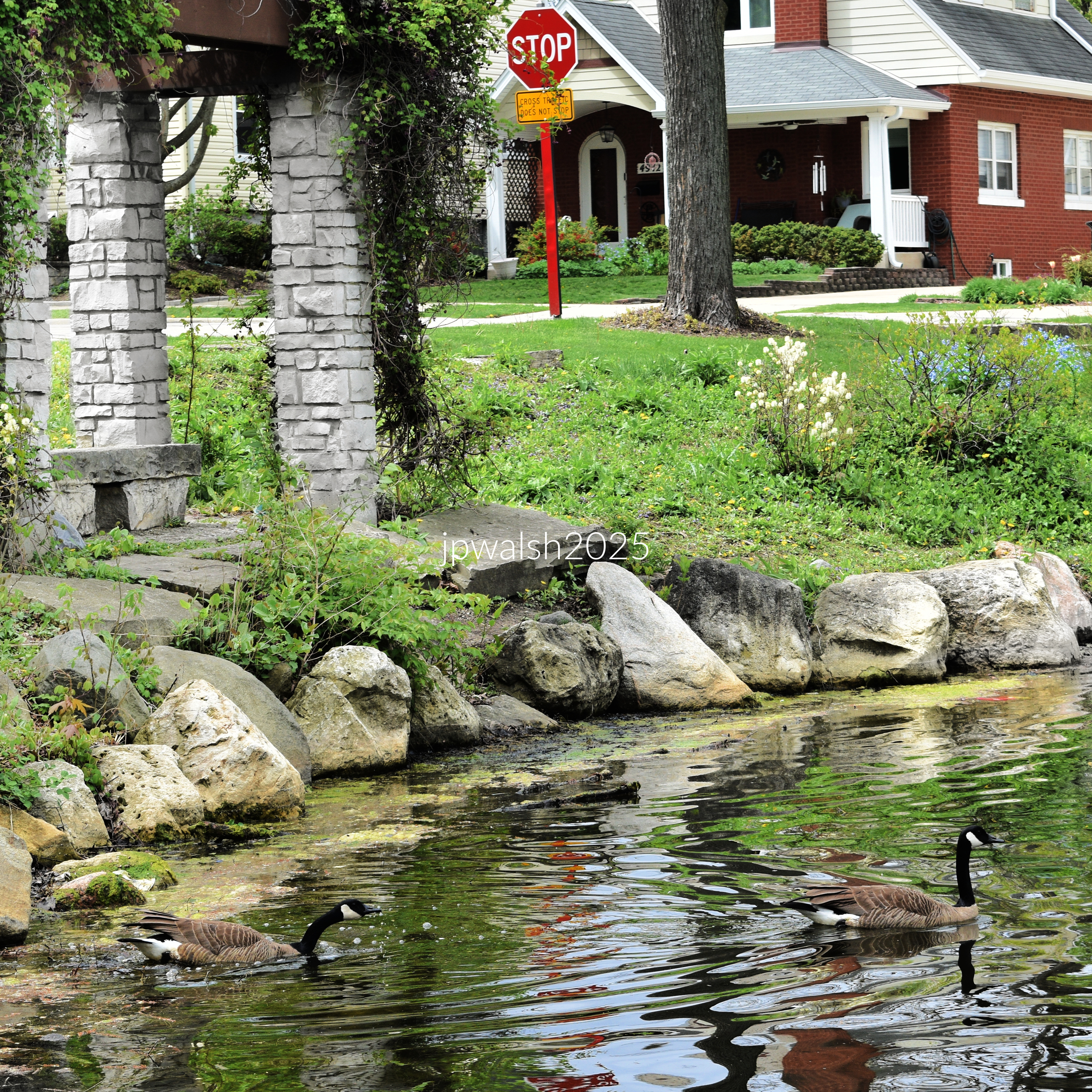


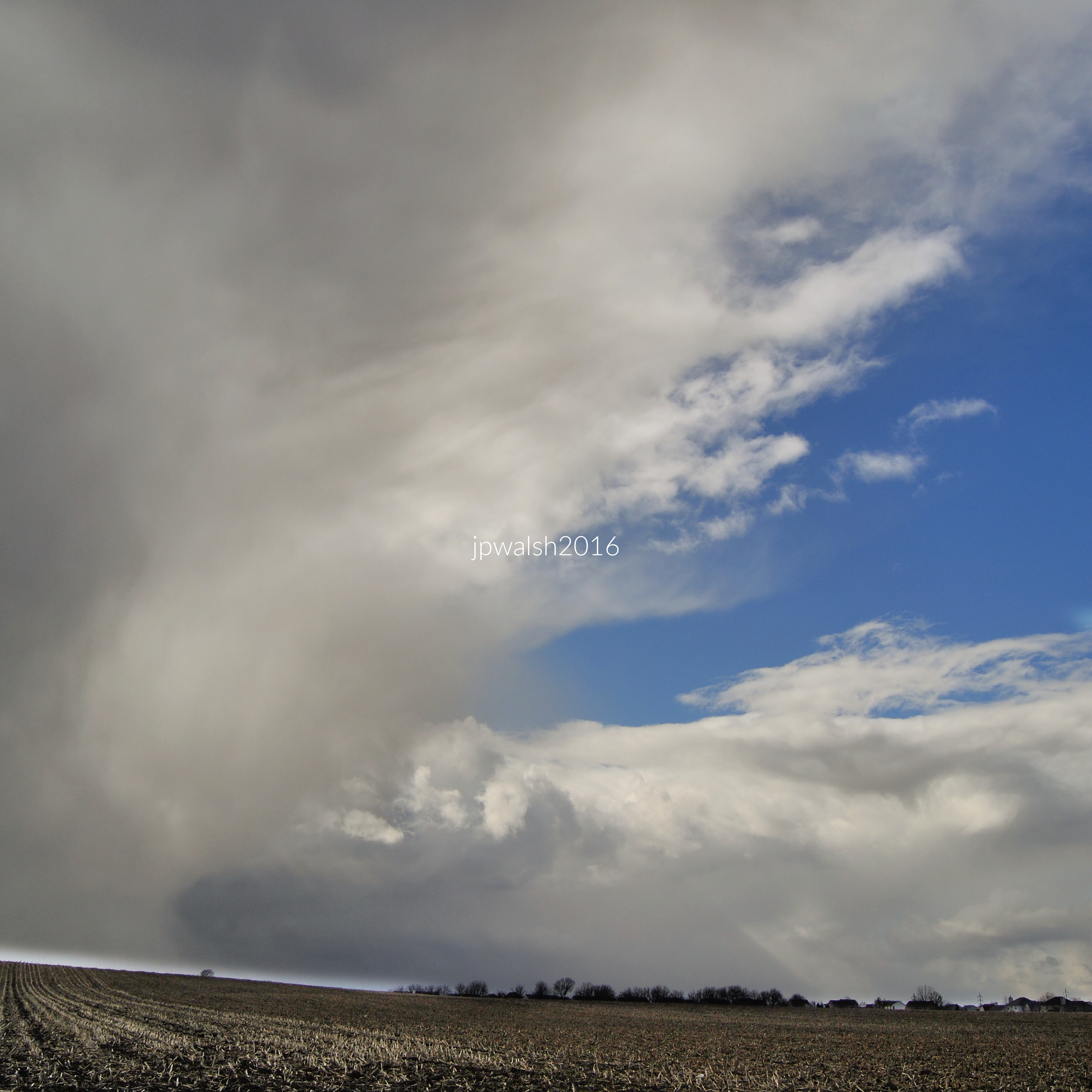
“Storm line breaking over the fields as the last light pushes through.”


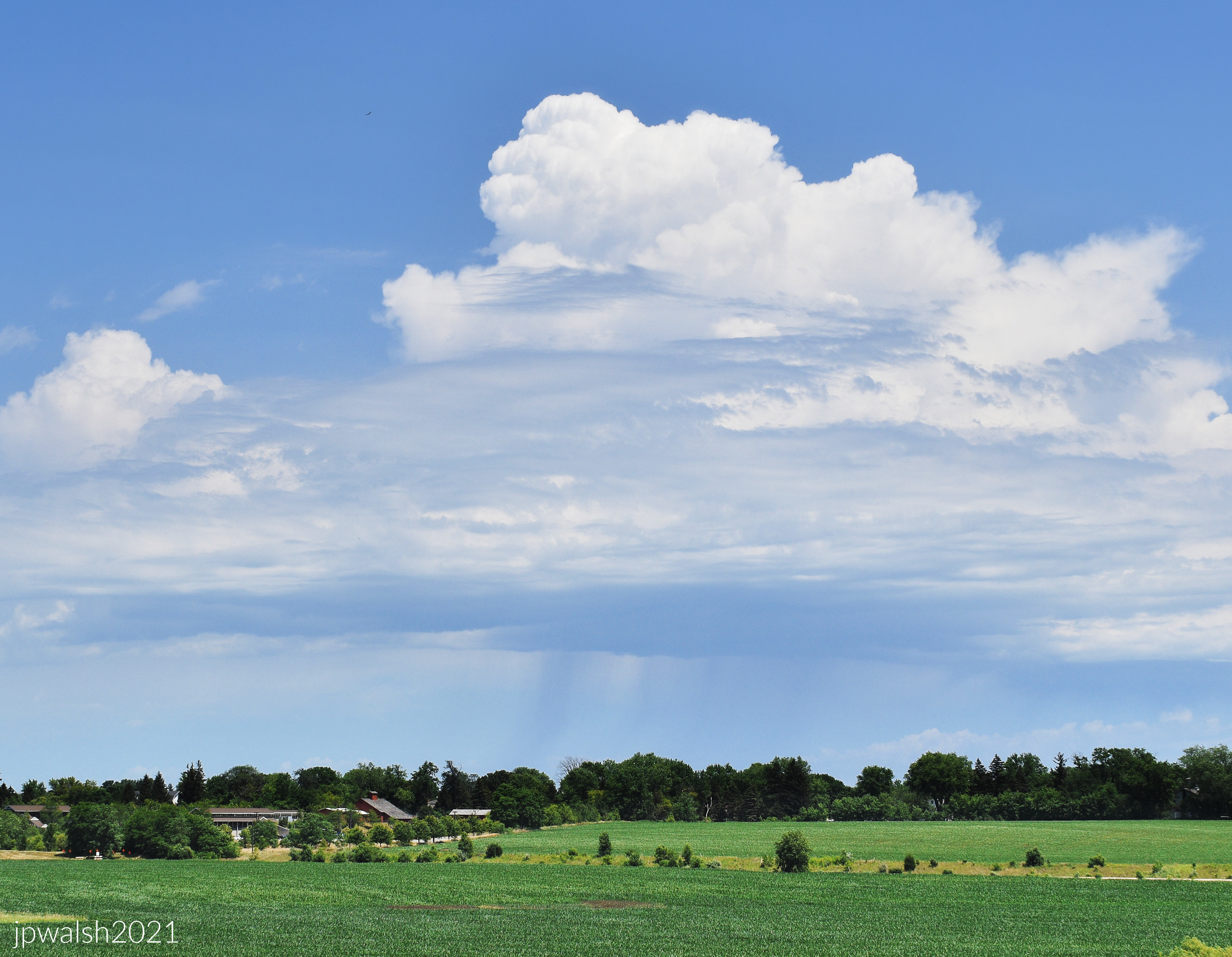


FEATURE Image: June 2023 85% 7.86 mb.
“Storm line breaking over the fields as the last light pushes through.”


FEATURE image: July 2021. Farmer’s market. Downers Grove, Illinois 7.90 mb 79%


“Shoppers pause at the produce stand, comparing squash, beans, and berries under a midmorning canopy.”

“A shaded porch, soft light and a ‘76’ flag stirring above the garden’s early‑summer bloom.”

“Color blocks and bus lines frame the morning market, a grid of tents and movement stitched into the city’s routine.”


“Where the white fence meets the summer bloom, small flags stir the quiet air, and the garden holds its gentle brightness like a promise kept.”
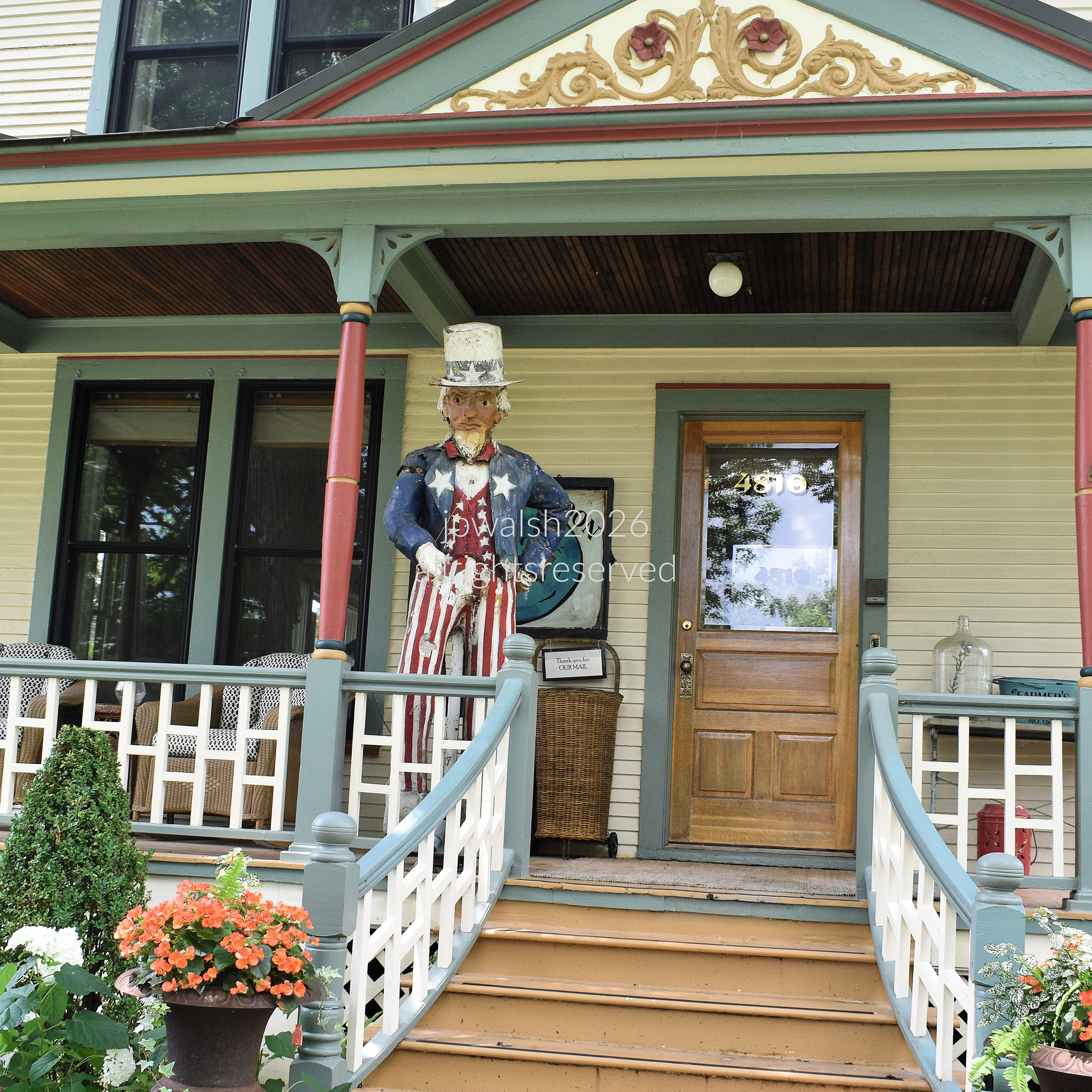
“Uncle Sam stands on the porch as late‑morning light thins, a storm massing in the distance and pressing a quiet tension into the air.”


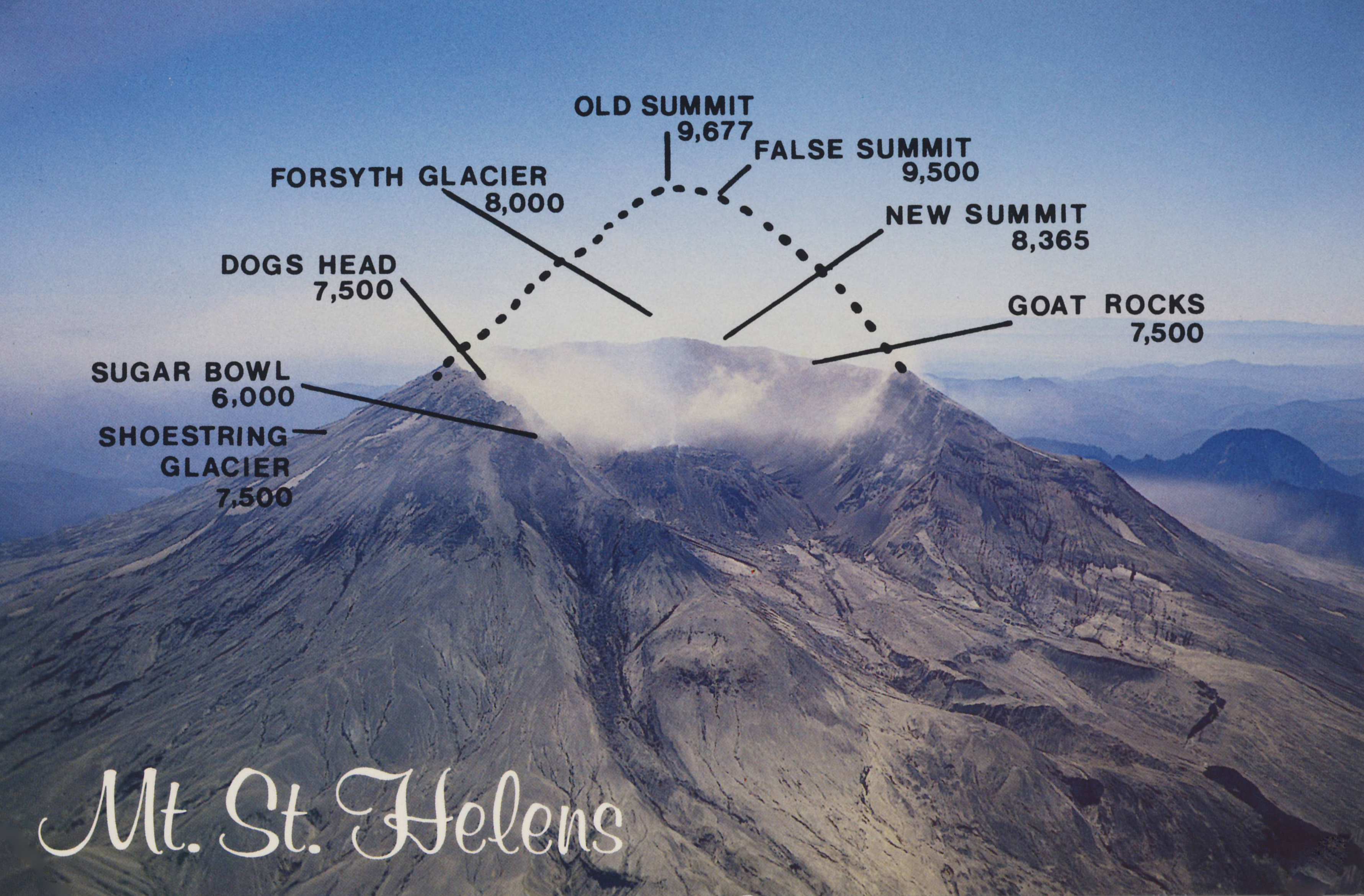
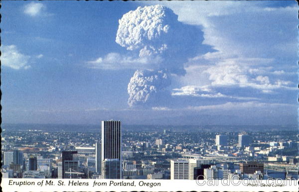
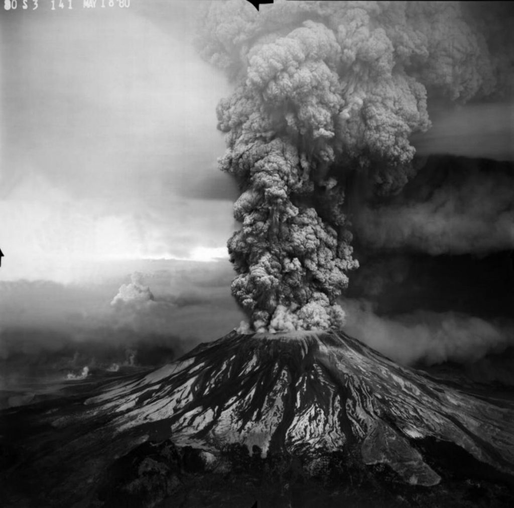
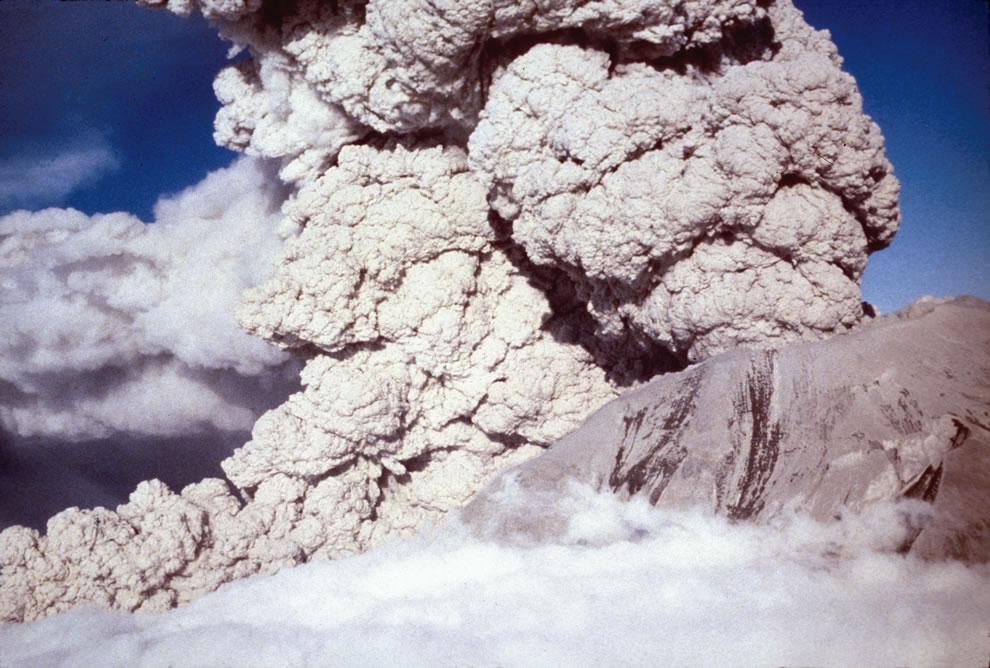
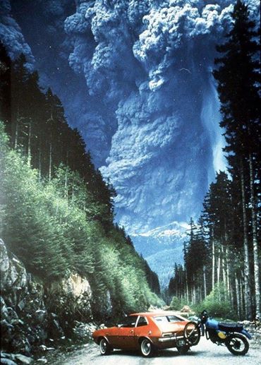
FEATURE image: Phreatic or steam-blast eruption from the summit crater of Mount St. Helens on April 6, 1980. USGS/Public domain.
By John P. Walsh, May 18, 2016.
“Nobody lies about her lodestone any more. She burned and destroyed the whole park! Killed people too – what a pity! Only scientists are out there now. What’s there to see, dear? Isn’t it all in ruins?”
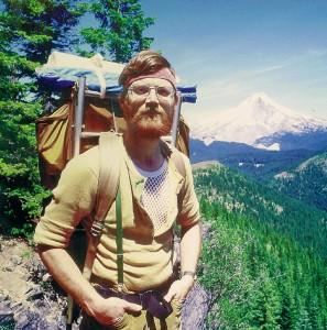
This is what the lady innkeeper told me in Portland, Oregon, before I set out in the car one early morning in July 1991 to visit the crater.
“It’s a pity she blew. It was such a pretty mountain before. WAS, I say. The kids loved camping at its base. It was so easy for them to get in and out. Then she blew and changed everything.”
I waved my good-byes and started the two-hour drive.


At 8:32 a.m. on Sunday, May 18, 1980, an earthquake followed by a landslide and near simultaneous volcanic blast changed forever – and in less than 10 minutes – a Cascades landscape of 230 square miles. Months before the unexpected blast, volcano watchers had camped near the mountain, including scientists and photographers, who were interested to gauge its recent unusual seismic and geological activity and capture what the mountain may do. Local property owners pressured authorities to be let back into their homes during this uncertain and, as it turned out, critically dangerous waiting period. Especially good weather brought out an extra contingent of weekend campers, backpackers and curiosity seekers to the mountain, many from Portland only 70 miles away.
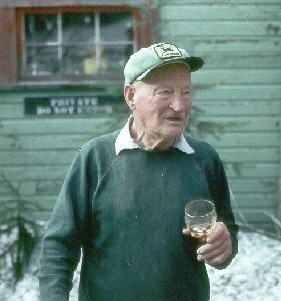
Everybody I talked to during my 1991 visit remembered 83-year-old Harry Randall Truman who lived by the mountain for over half his life and refused to leave in the days and weeks before the May 18, 1980 eruption. Not sure whether the mountain would blow or not, Truman, who served in the U.S. military in Europe in World War One, resigned himself to the mountain’s fiery whims. When the 1000-story high burbling volcano finally did blow, the avalanche and blast buried Mr.Truman, as it did Spirit Lake, in 350,000 acre-feet of fire and ash debris. Mr. Truman’s body was never recovered nor did he represent the only loss of human life in the eruption.

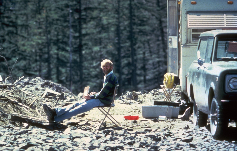


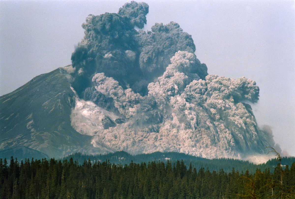


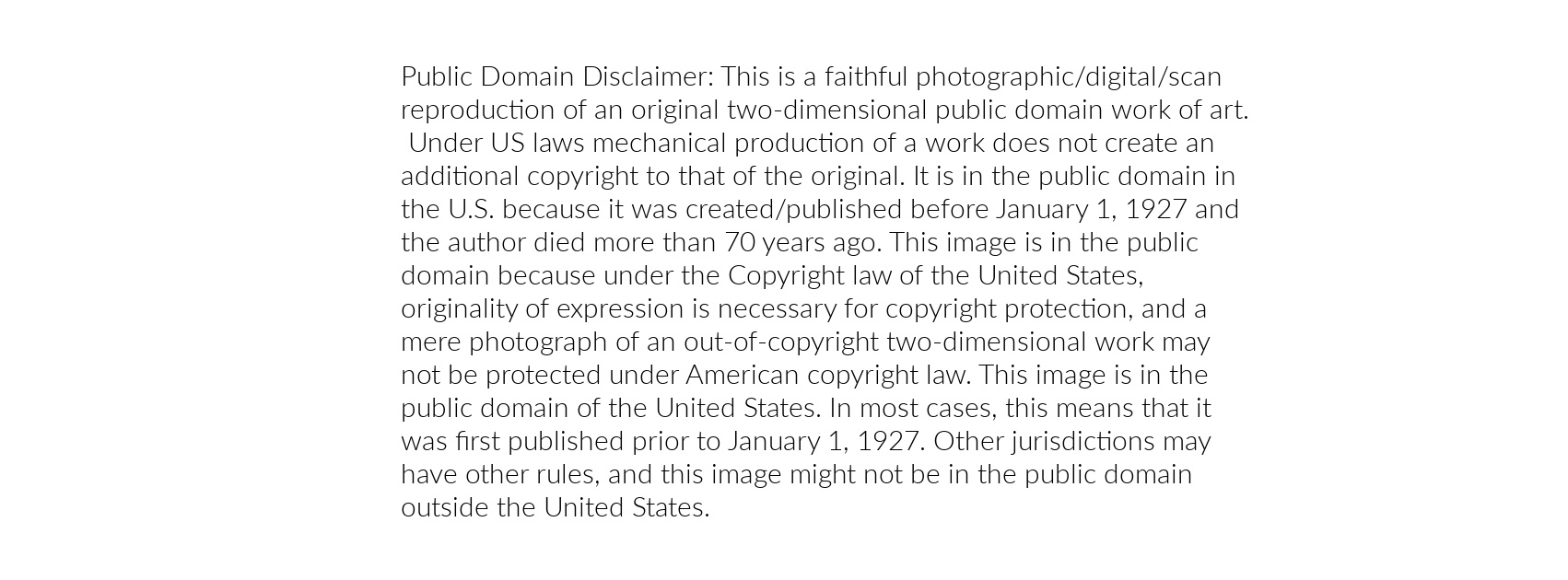
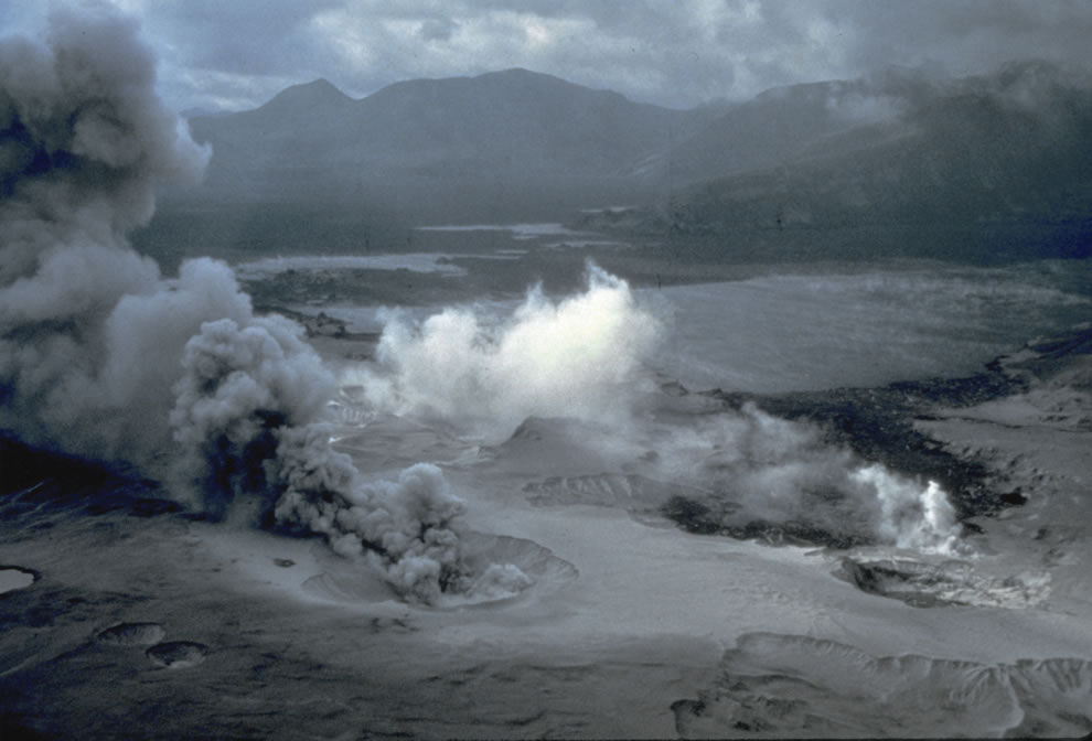
Only a few months before my July 1991 visit the authorities had re-opened Mount St. Helens for the first time in more than a decade. It was named a National Volcanic Monument and deemed safe again for visitors. After Bear Meadow I followed the prolonged twisting road to past Ghost Lake, Meta Lake and Norway Pass until I reached Independence Pass. From its overlook I saw for the first time the ashen slough that had been Spirit Lake. For years prior to May 1980 several camps inhabited the shore around the lake’s perimeter. There had also been various lodges around the oblong-shaped lake including the one Mr. Truman lived in. On May 18, 1980 Spirit Lake met the full impact of the volcano’s lateral blast. The sheer force of the blast lifted the lake out of its bed and propelled it about 85 stories into the air to splash onto adjacent mountain slopes. Despite the weeks of warnings about a potential eruption of Mount St. Helens, the sole film records of the actual event are in photographs.


At 8:32 a.m. on May 18, 1980 a 5.2-magnitude earthquake triggered the bulging north slope of Mount St. Helens to slice and fall away into the biggest debris avalanche in recorded history. This landslide was rapidly succeeded by the powerful lateral blast that sent scorching hot ash and rock hurtling out of the mountain at approximately 300 miles per hour, toppling and incinerating everything in its northward path. Fifteen miles away from the mountain temperatures reached Fahrenheit 572 degrees.
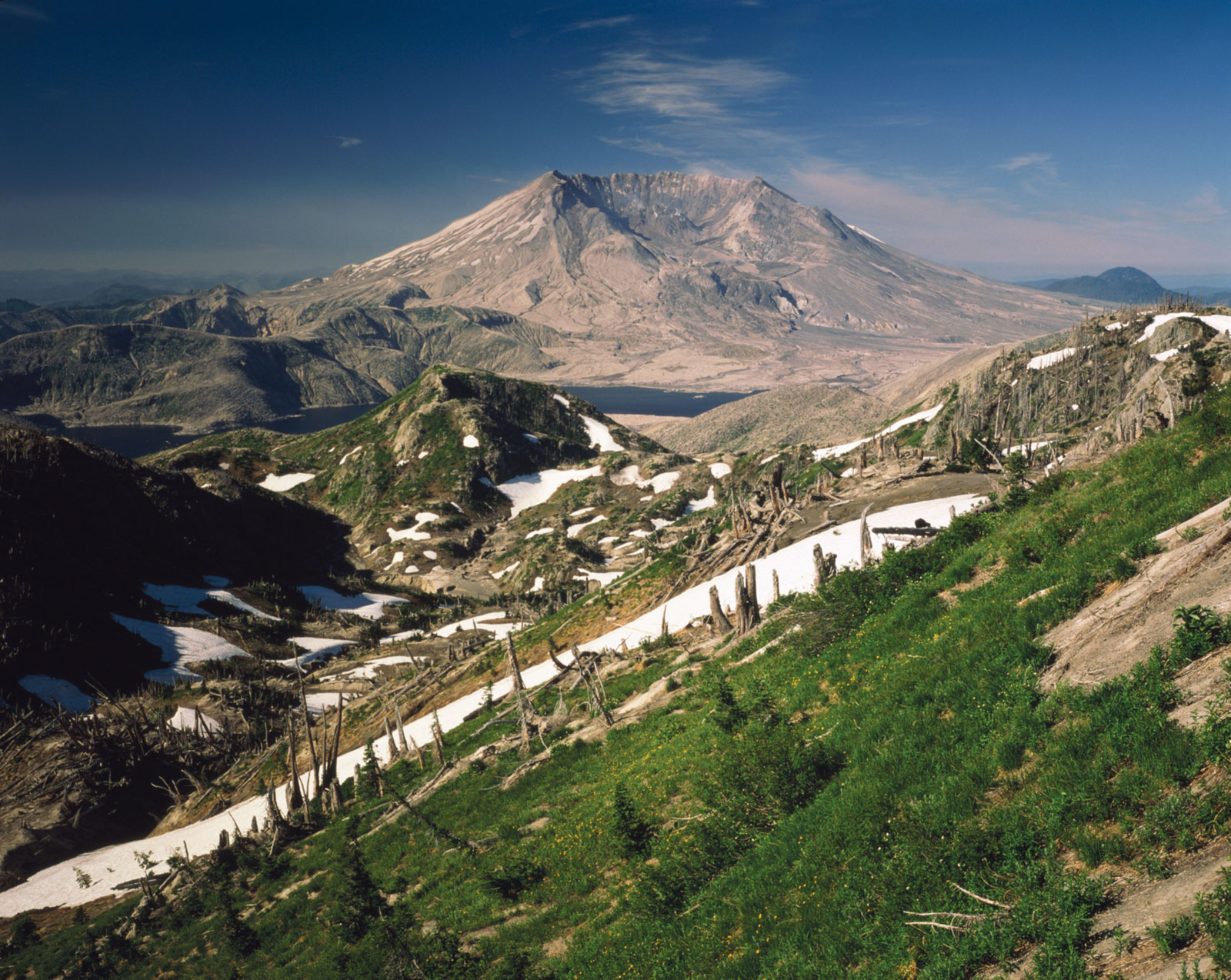
While in 2016 plant and animal life continue to recover and augment as it has for decades now, my boots in 1991 crunched into a gray, dusty moon-like surface. From Spirit Lake to Windy Ridge I was confronted by trees flattened like toothpicks as far as the eye could see, and a cauldron emitting wispy white smoke. The base of the mountain is four miles wide. The journey had taken me from civilization and delightful wilderness into mile upon mile of badlands. My bodily presence was miniature in an immense, silent, and deserted landscape, the scene only a decade earlier of the most powerful natural event in the Continental United States in over one thousand years. While I heard some people talk about this volcanic eruption as comparable in its destructive power to that of a detonated atom bomb, I know that sort of comparison is ludicrous. For all its destructive force, this is not a disaster as it contains, if one requires patience to believe it, a natural benignity – or what scientists call a natural disturbance on a grand scale which allows mankind to study the natural cycle of death and life in a landscape. An atom bomb provides none of that -it only bestows extinction and contamination.


Ash and gas, accompanied by lightning, ascended 15 miles into the air at the speed of a mile a minute. In a blast that killed 57 people – many of whom were there to study and record its possible eventuality – it also decimated approximately 7,000 large animals and 12 million salmon. No trees of dense forest were left standing within 6 miles of the summit. Rescue operations continued for days with varied success.


Scenes of the eruption on May 18, 1980, and its aftermath set to music from “Mount St Helens,” a symphony in three movements by Alan Hovhaness (1911-2001). Hovhaness, who lived in Seattle, WA, at the time, completed the commissioned symphony in January 1982. When it premiered in March 1982, the composer wrote: “When Mount St. Helens erupted on the morning of May 18, 1980, the sonic boom struck our south windows. Ashes did not come here at that time but covered land to the east all across the State of Washington into Montana. Ashes continued to travel all around the world, landing lightly on our house a week later, after their journey all around our planet.”
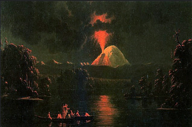
The volcano was particularly restless in the mid19th century, when it was notably active off and on for a 26-year span from 1831 to 1857. Canadian artist Paul Kane (1810–1871) painted Mount St Helens Erupting At Night in 1847 (Royal Ontario Museum, Toronto). Though considered once dormant, the volcano has been continually active in degrees over the centuries as this nineteenth century painting attests, and remains so today after the major 1980 blast. Public Domain.