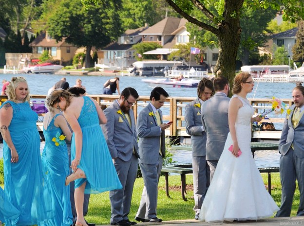

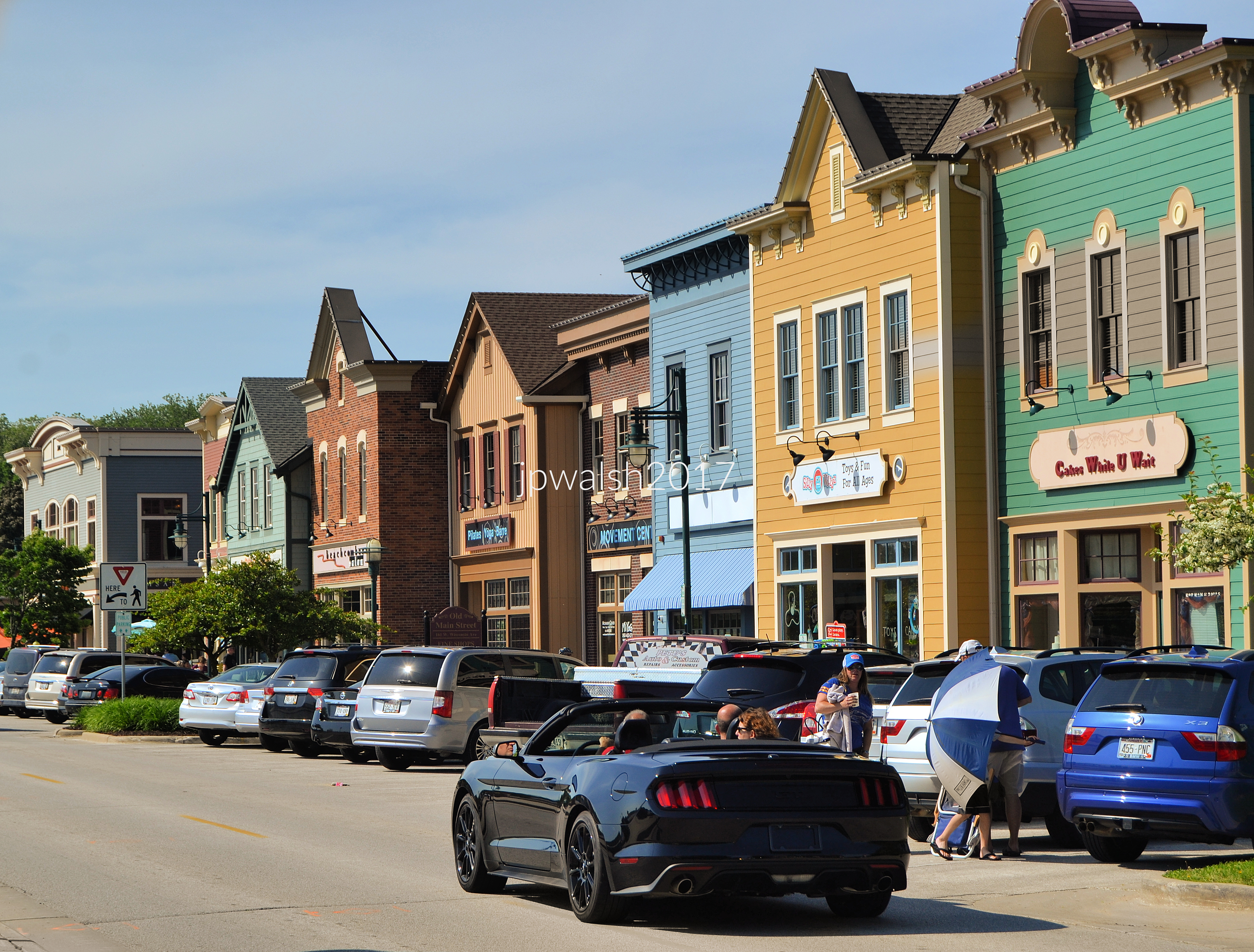
FEATURE Image: June 2017. Pewaukee, WI. Wedding party.


Introduction.
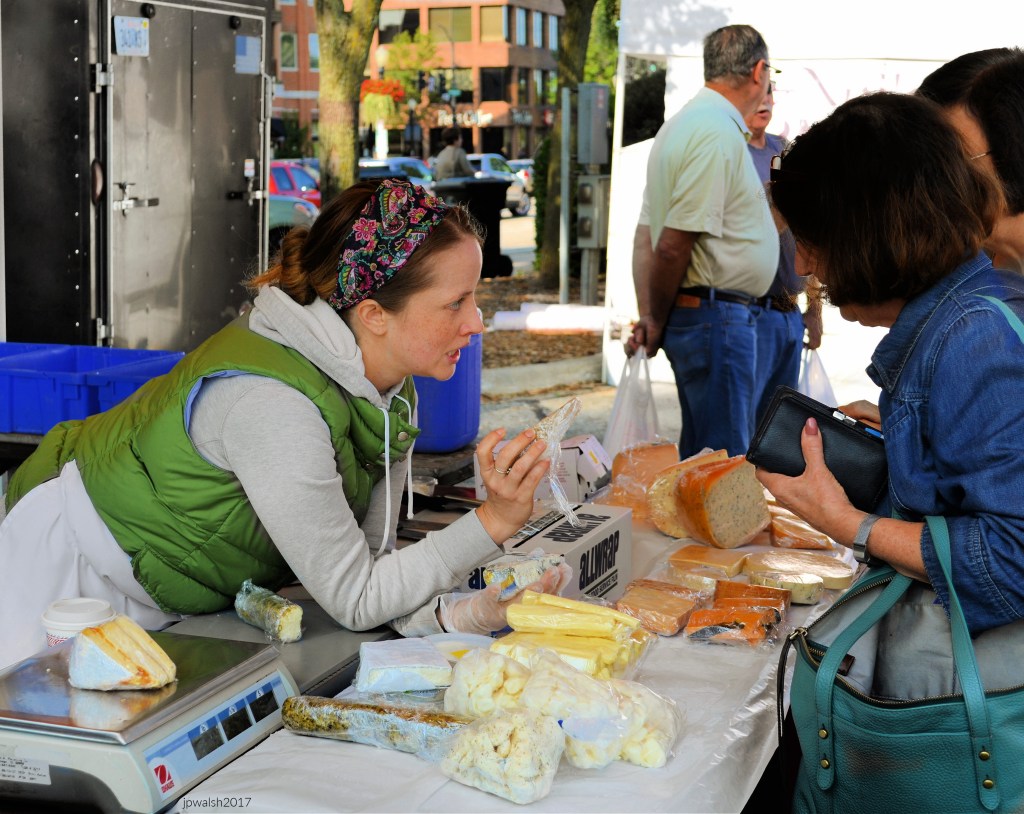
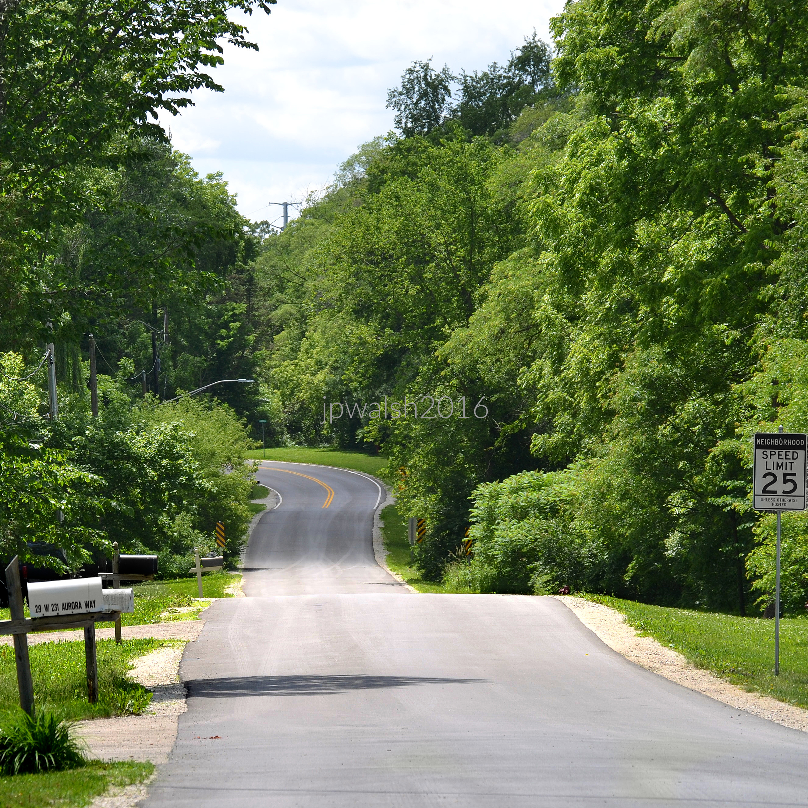
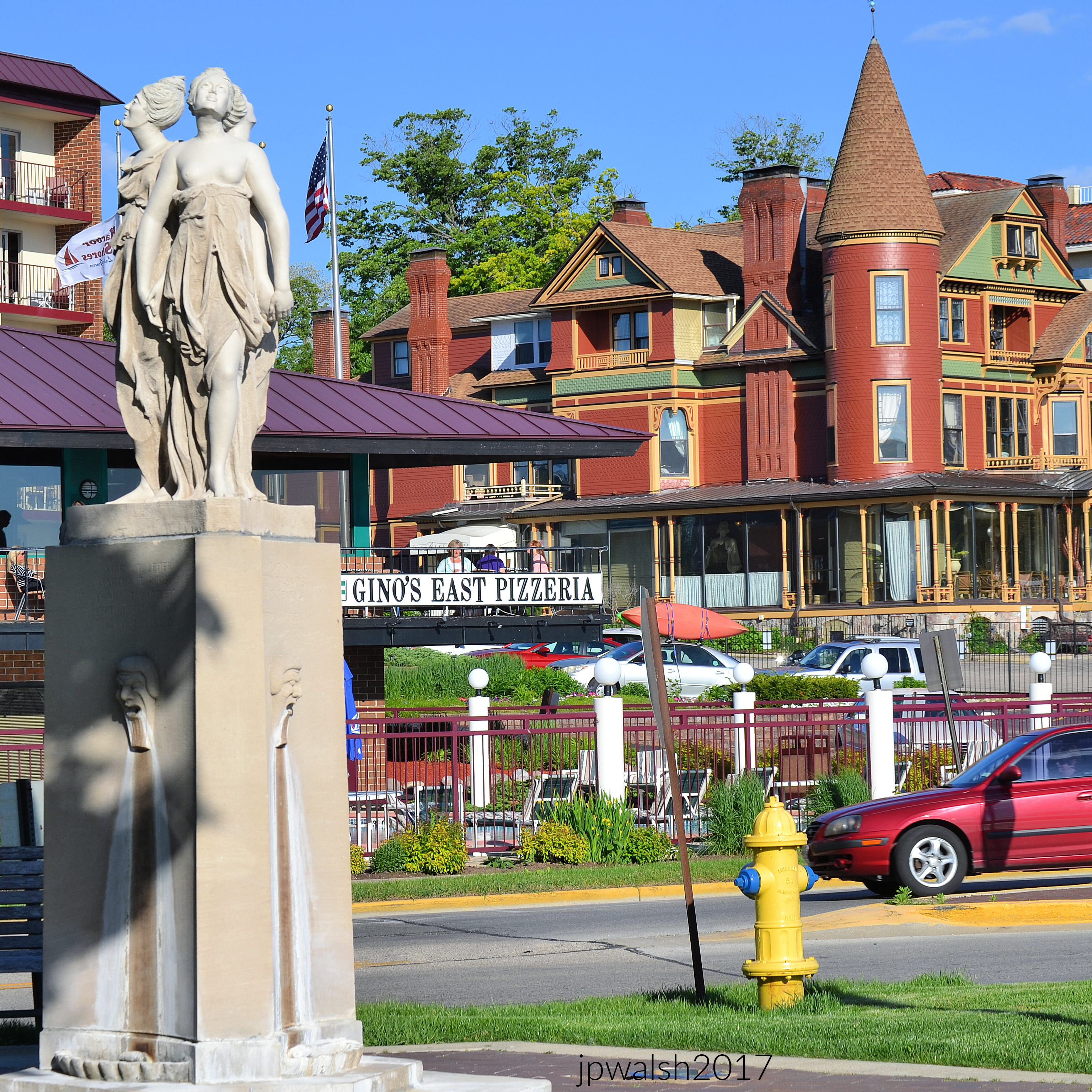
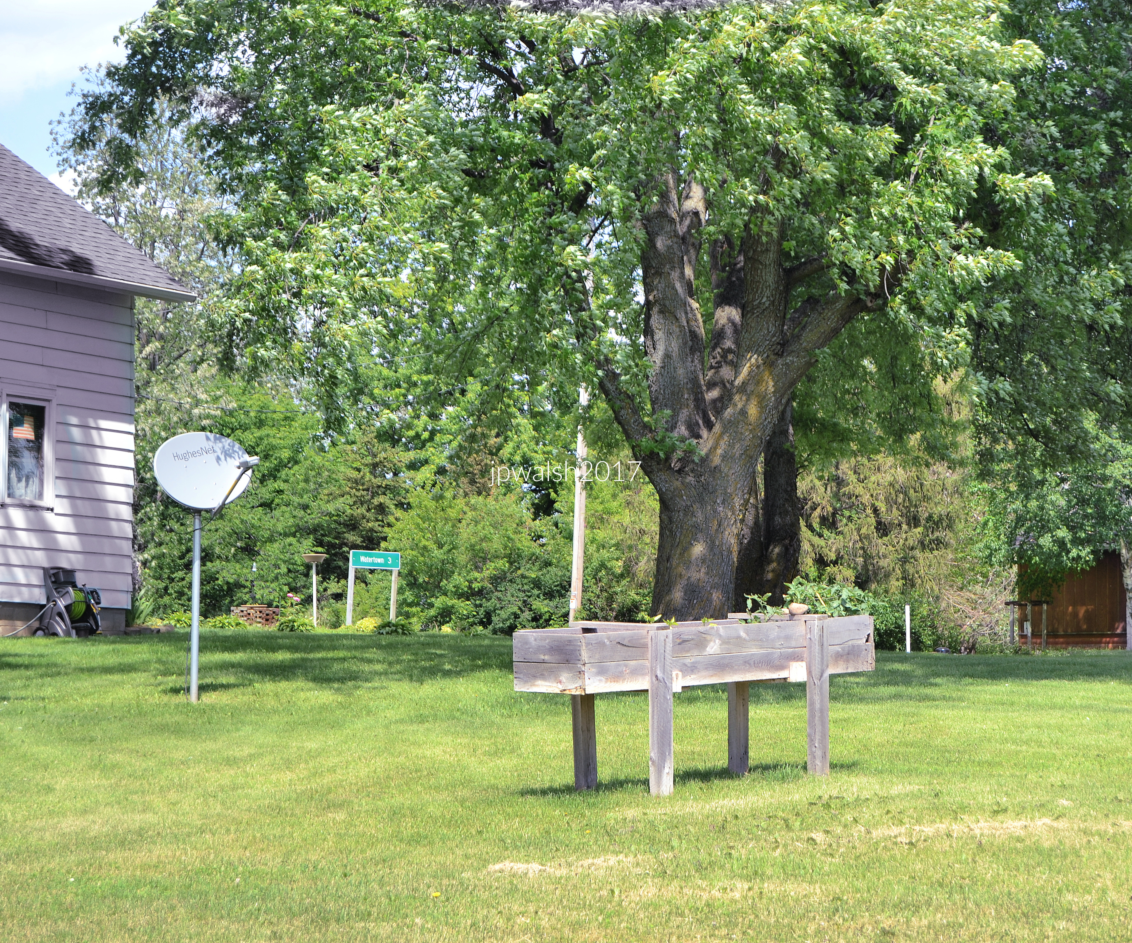
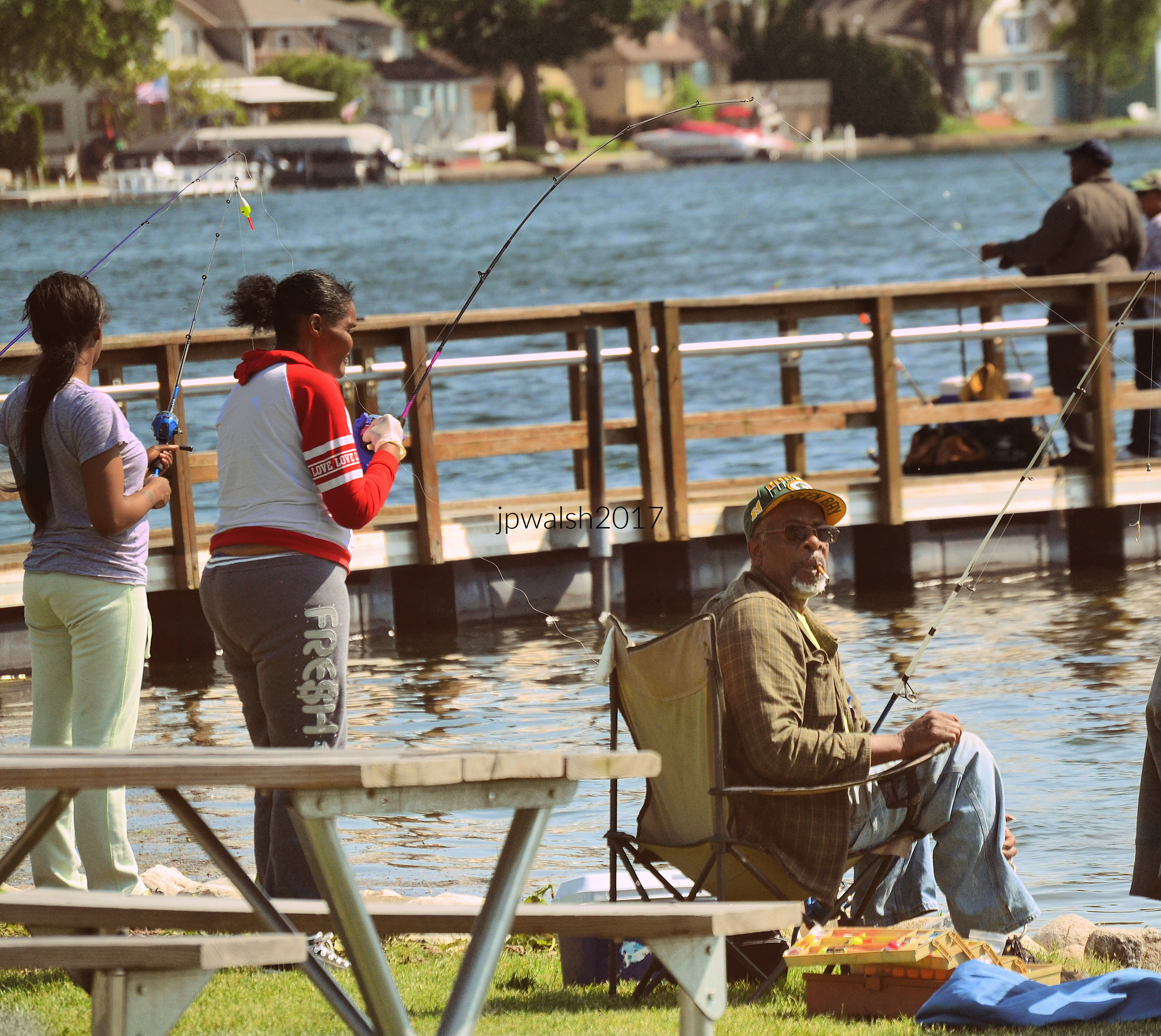
Here are some of my photographs featuring the people, places, and things I have seen on today’s U.S. Midwest roads.
I have a personal affinity and affection for the American Midwest. I grew up in Chicago and its suburbs, and went to school here and live here today. My family has been in Illinois since at least the 1830s.
Growing up in the Midwest, my experiences included family, friends, diverse outings, engaging jobs, and being married here. I love to explore this vast region that’s rightly called “The Heart of America.”
Memories of the Middle West — its sights, sounds, smells, and tastes — and mostly in Illinois, Wisconsin, Indiana and Michigan — are the mother’s milk of my life. In steamy summers, multi-colored autumns, ice-bitten winters, and flowering, reawakening springs to get outside to walk and ride on Midwest roads are pure adventure, then and now.
The American Midwest is filled with human stories and diverse and awesome natural beauty. There is timeless nostalgia, and, if such things don’t entice for the moment, unexpected curiosities.
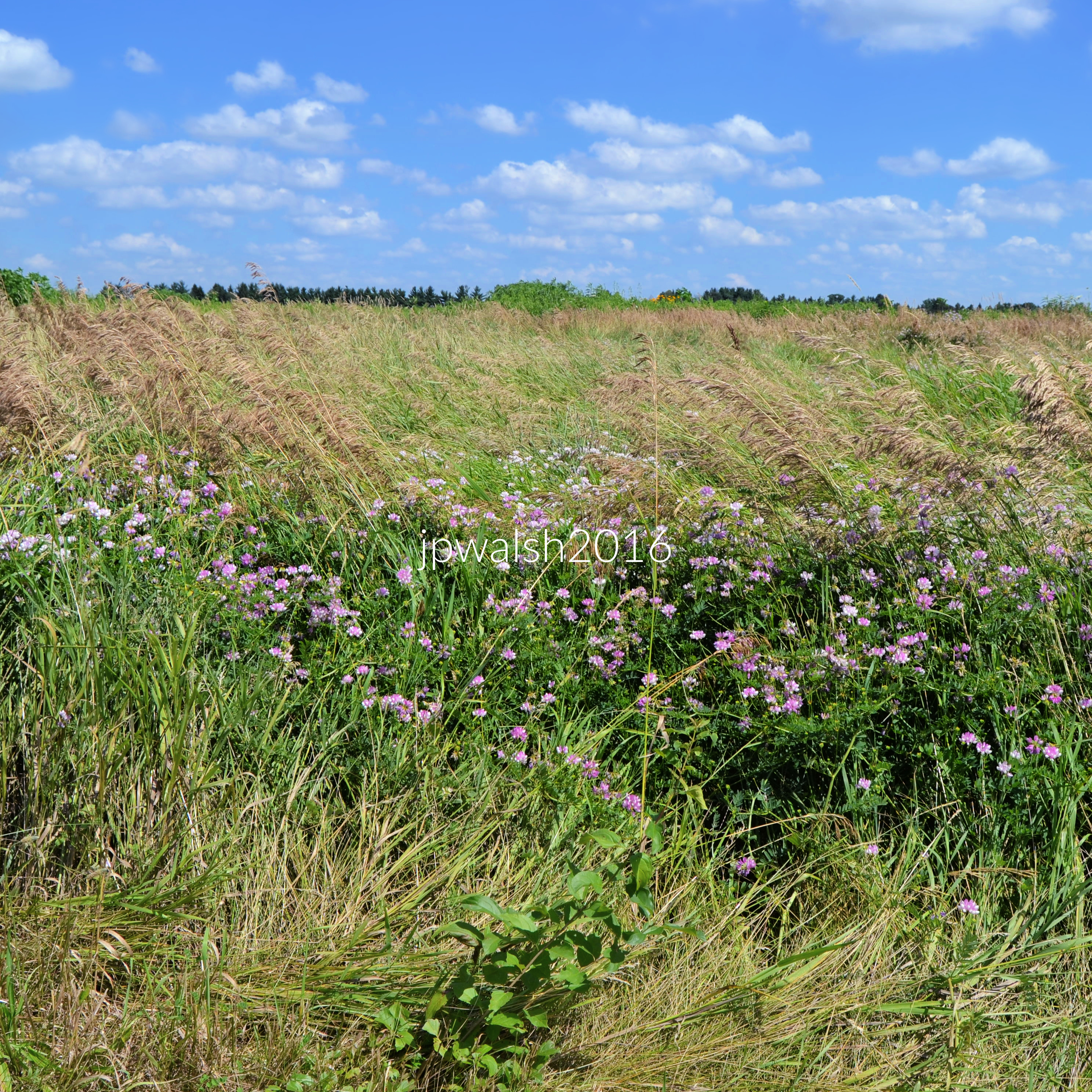
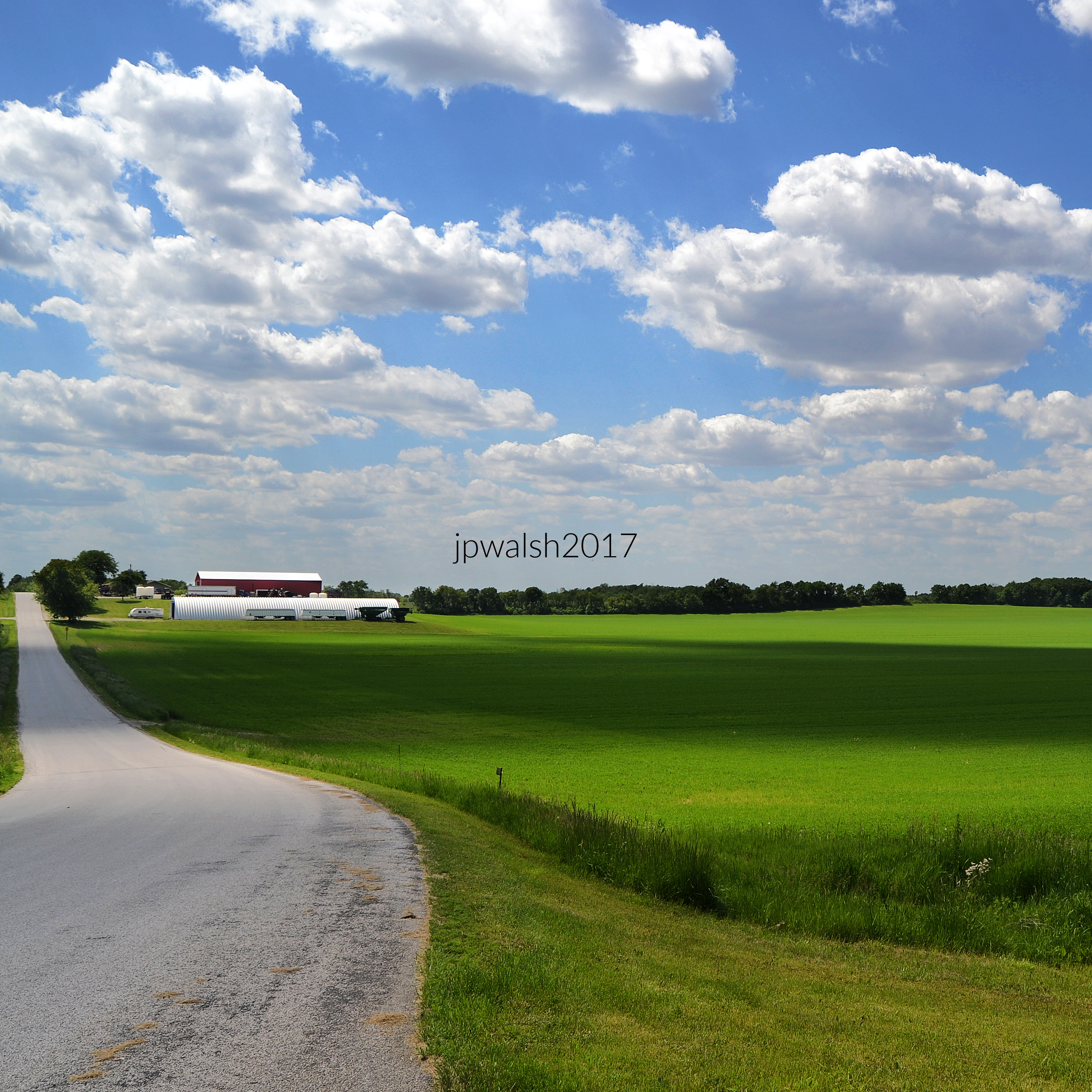
For those who love it, the Midwest terrain carries all Edgar Lee Masters (1868-1950) spoke on in his last major book, The Sangamon. There is “magic in that soil, in the plains, the borders of forest, the oak trees on the hills,” the poet wrote. Masters was sure that “if you should drive through (this region)…strange dreams would come to you, and moreover those dreams would tally with mine.”
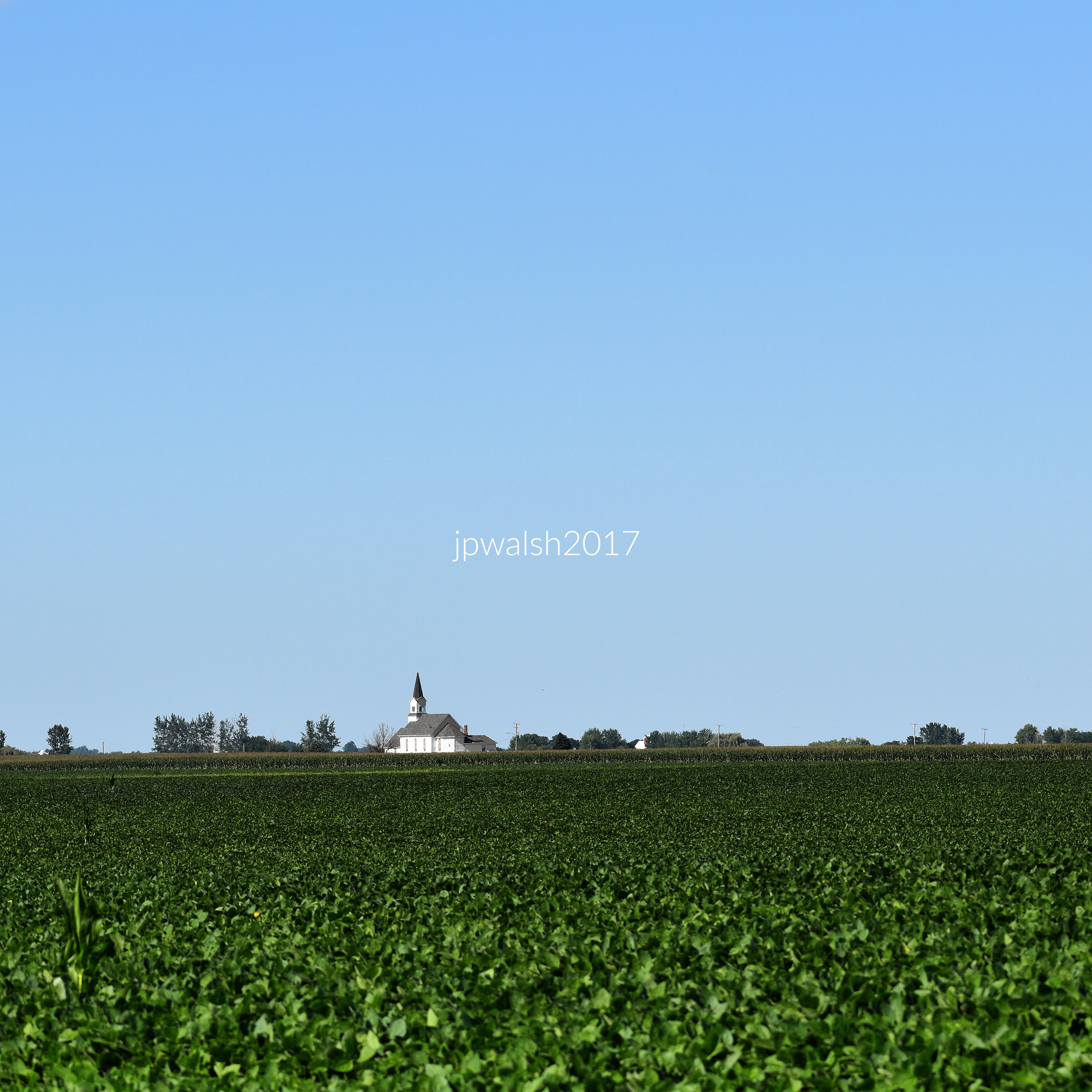
The region continues to offer the sightseer magical things. This includes its primordial aspects, such as animals, birds, natural outcroppings and waterways, as well as impressive remnants of Native American mound-building culture from the Midwest’s southern to northern reaches.
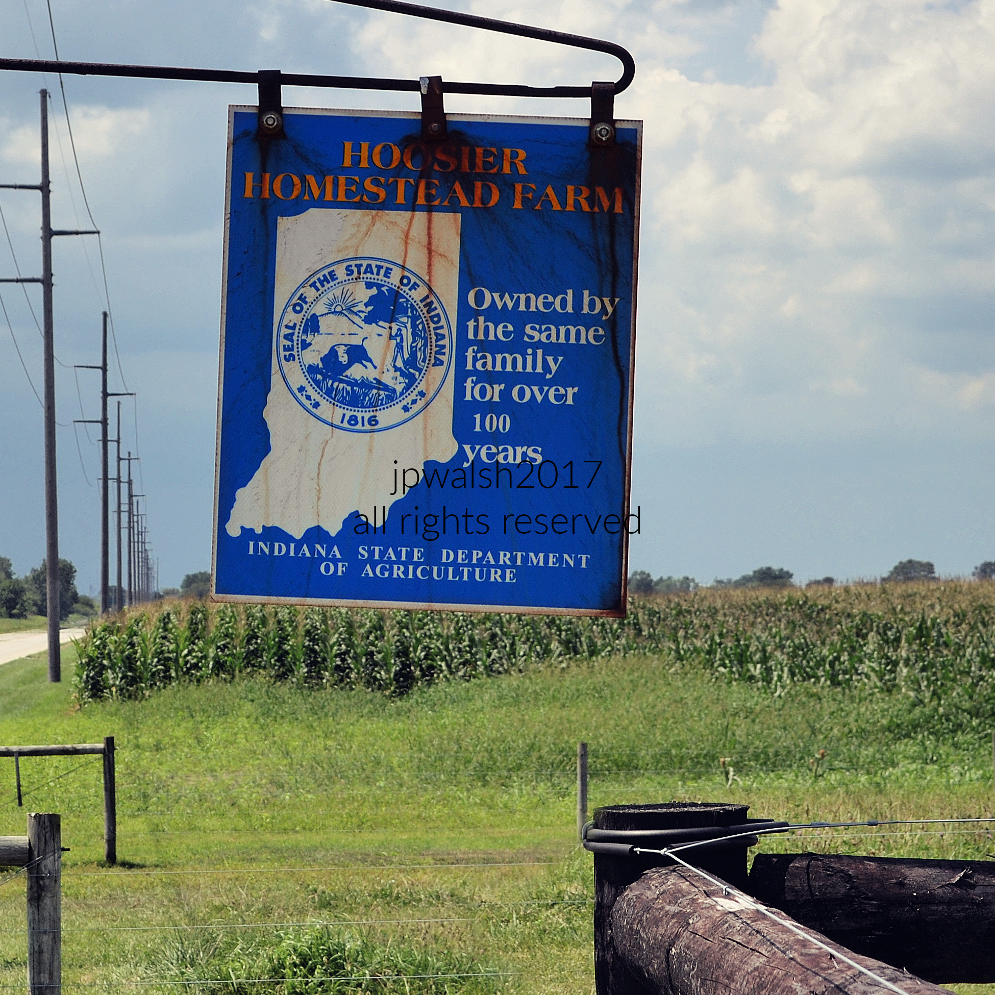
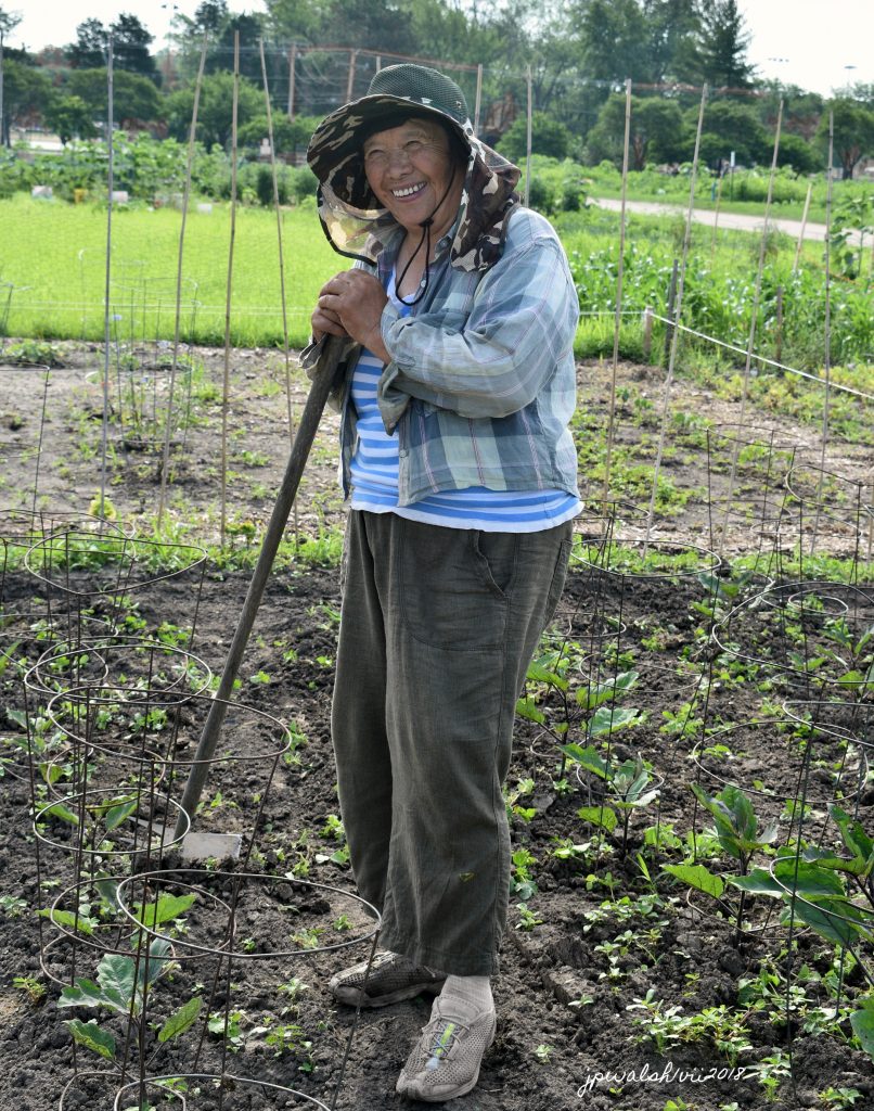
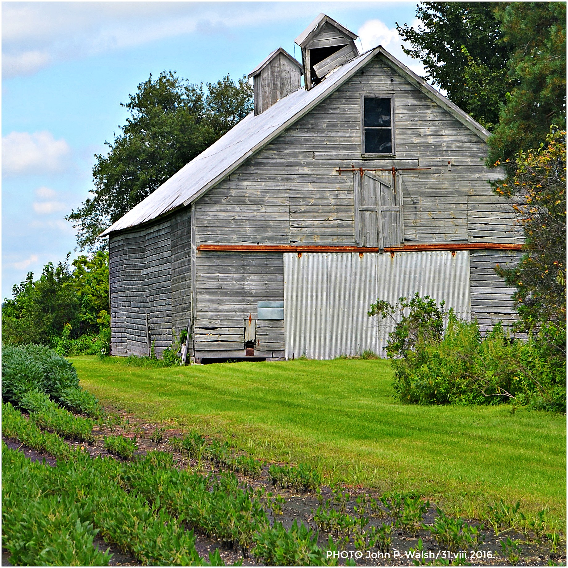
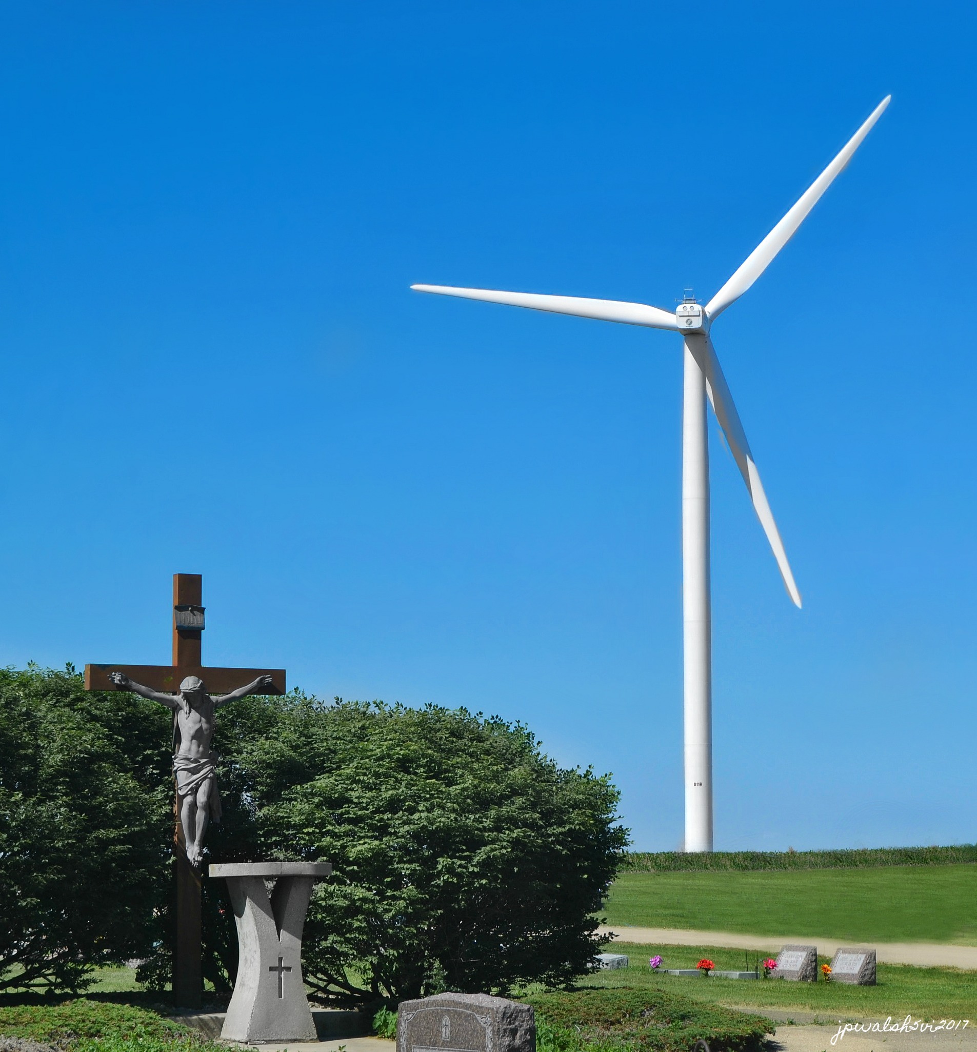
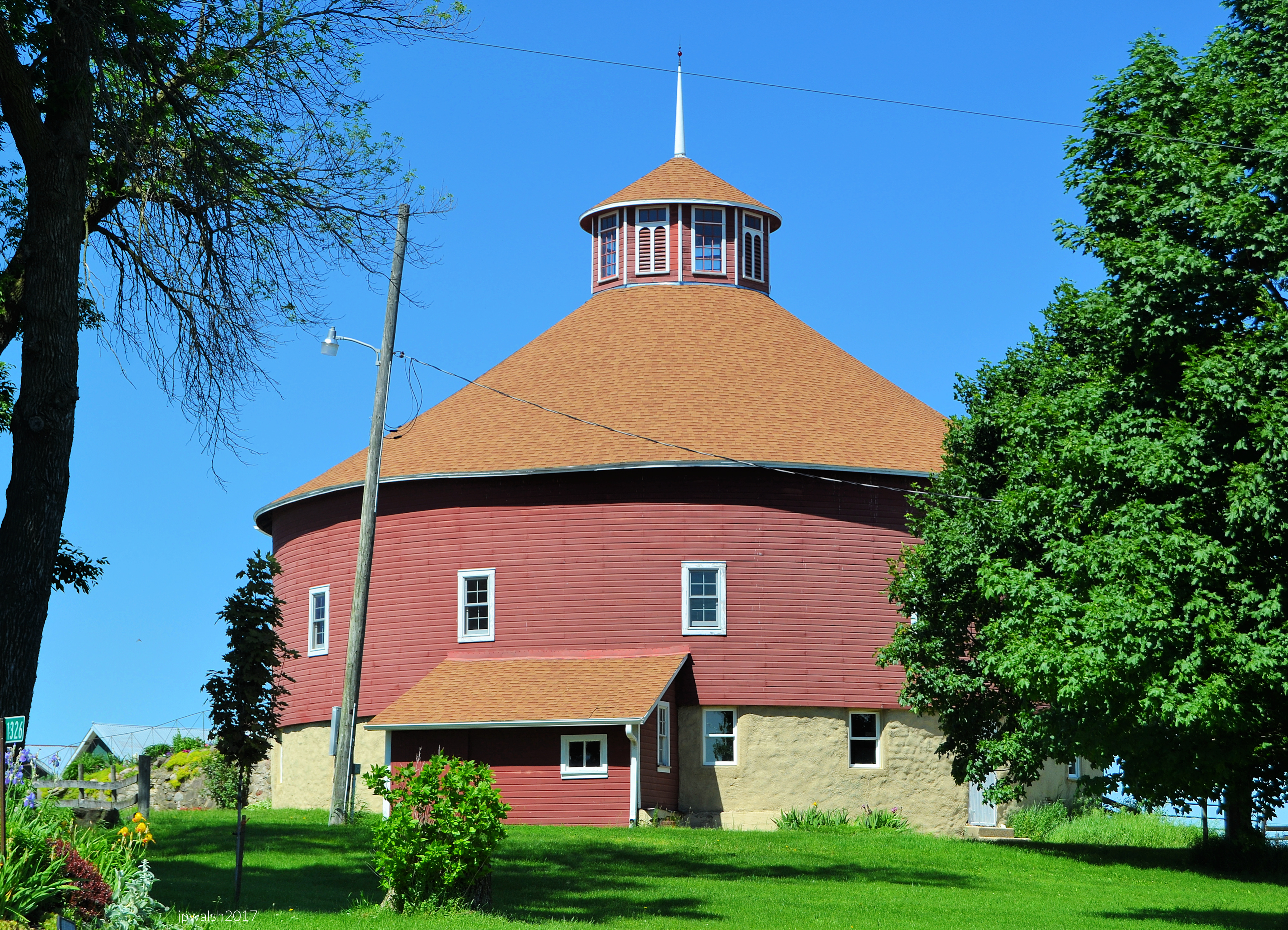
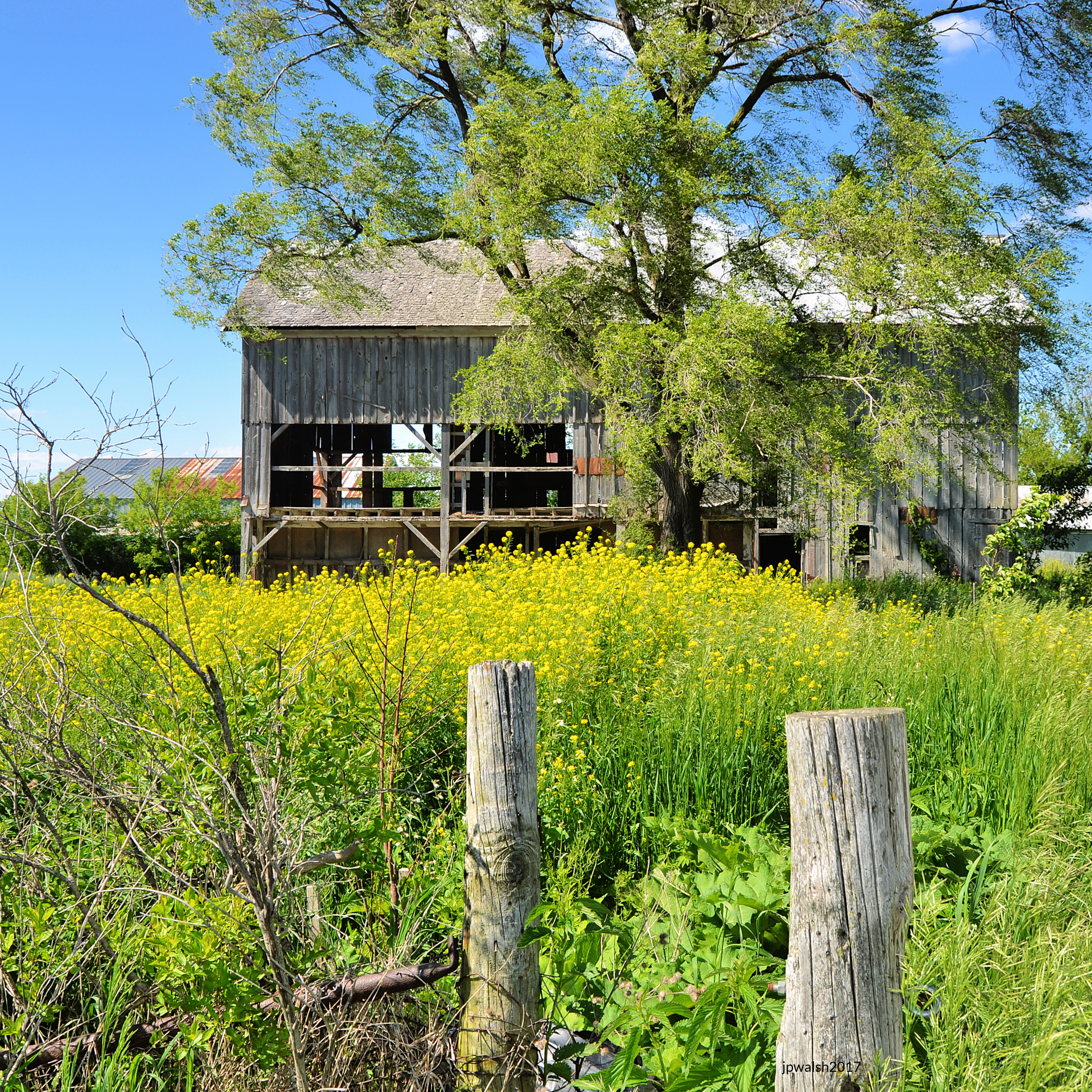
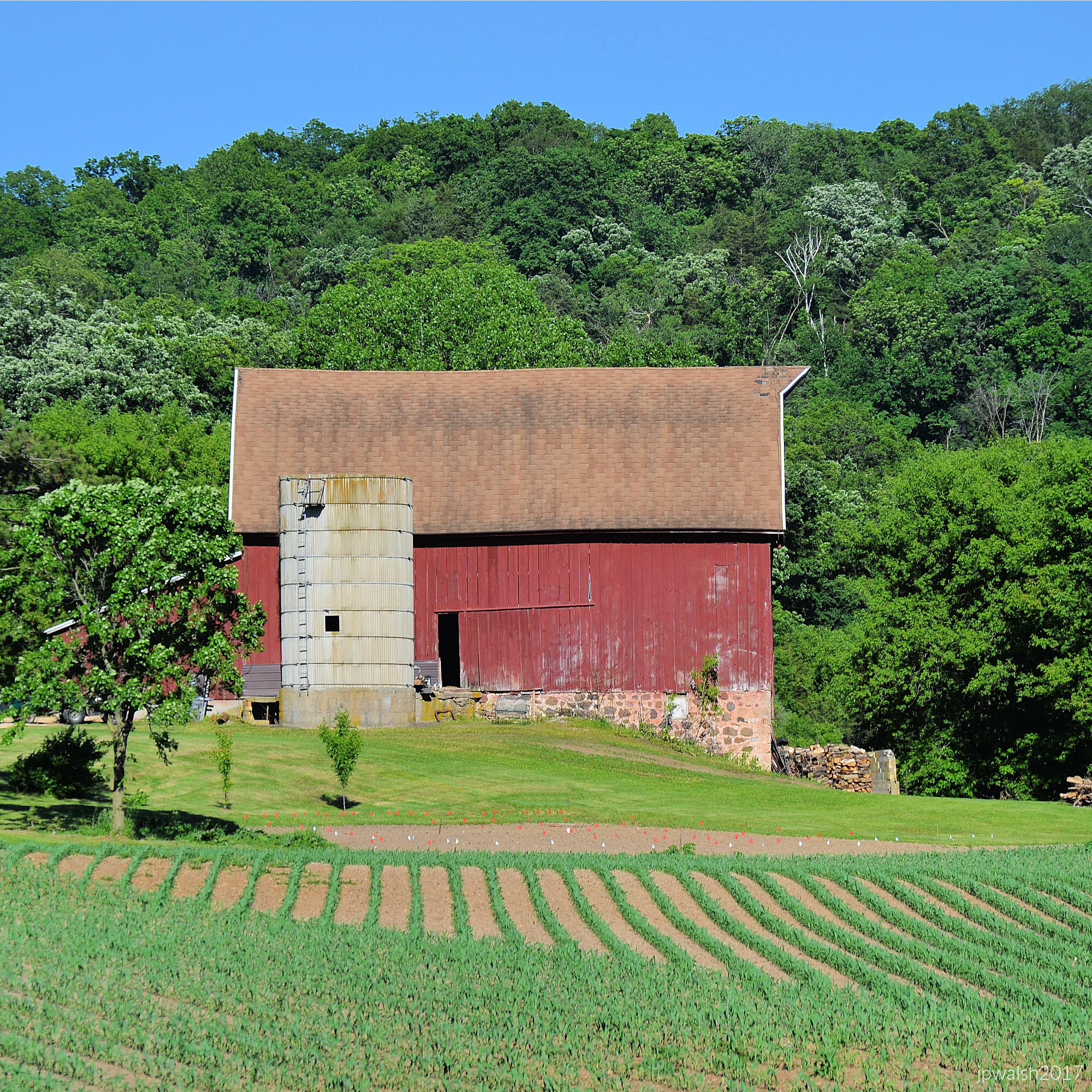
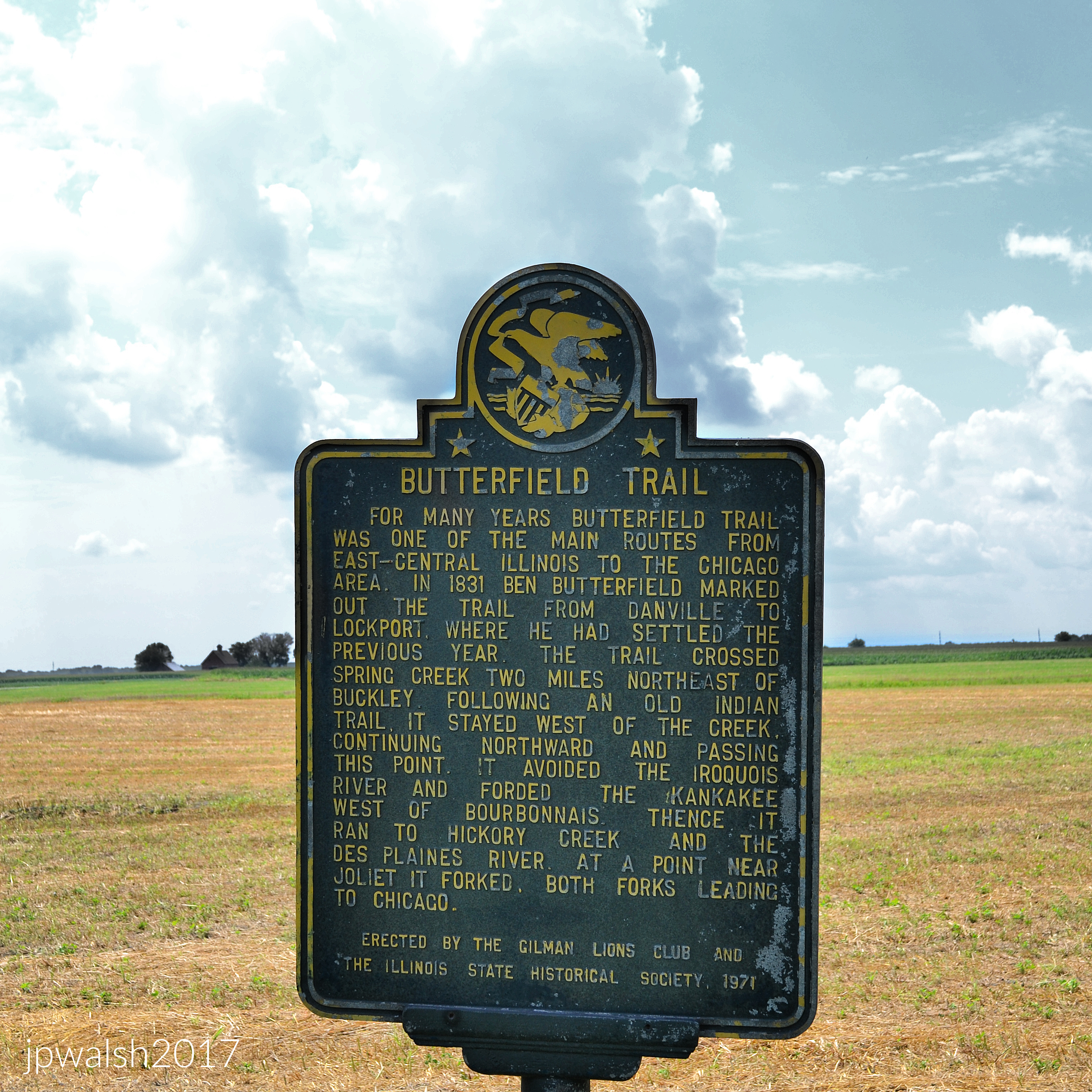
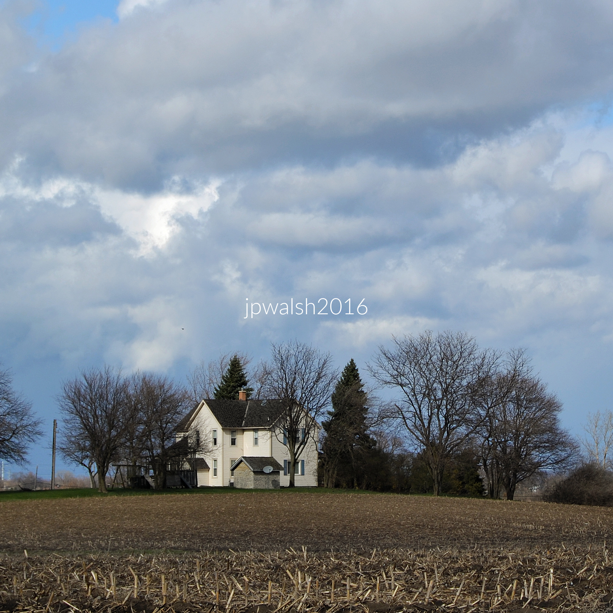
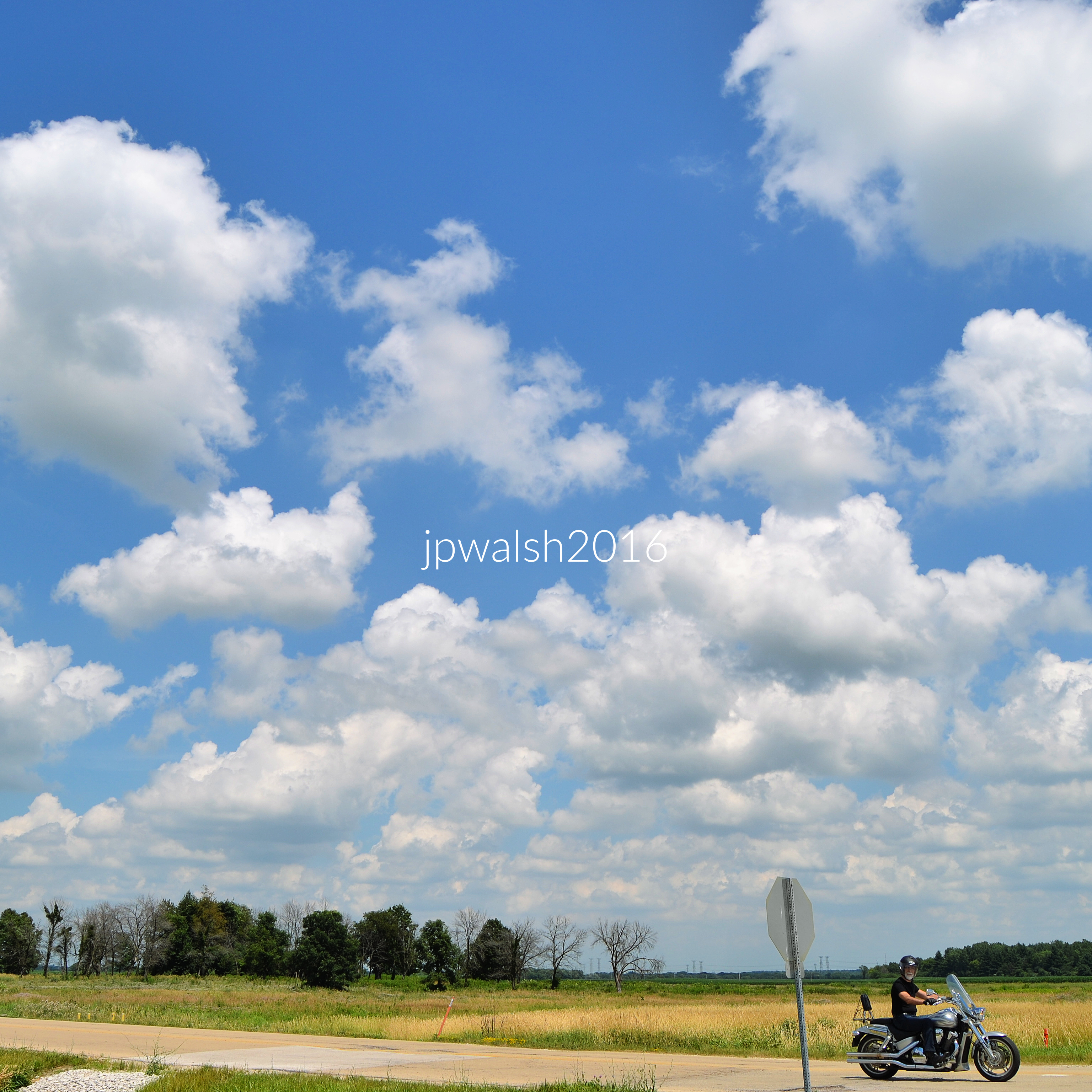
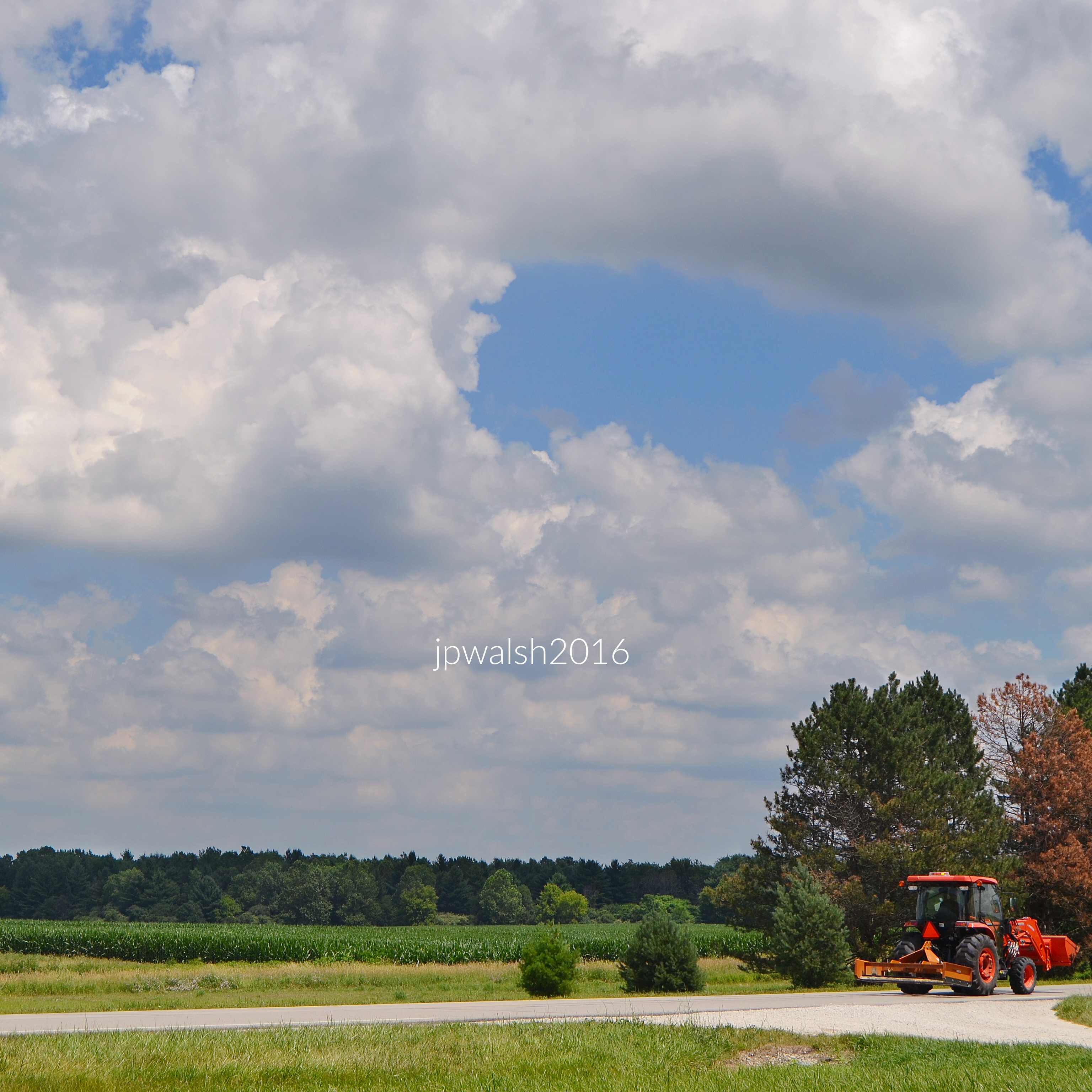
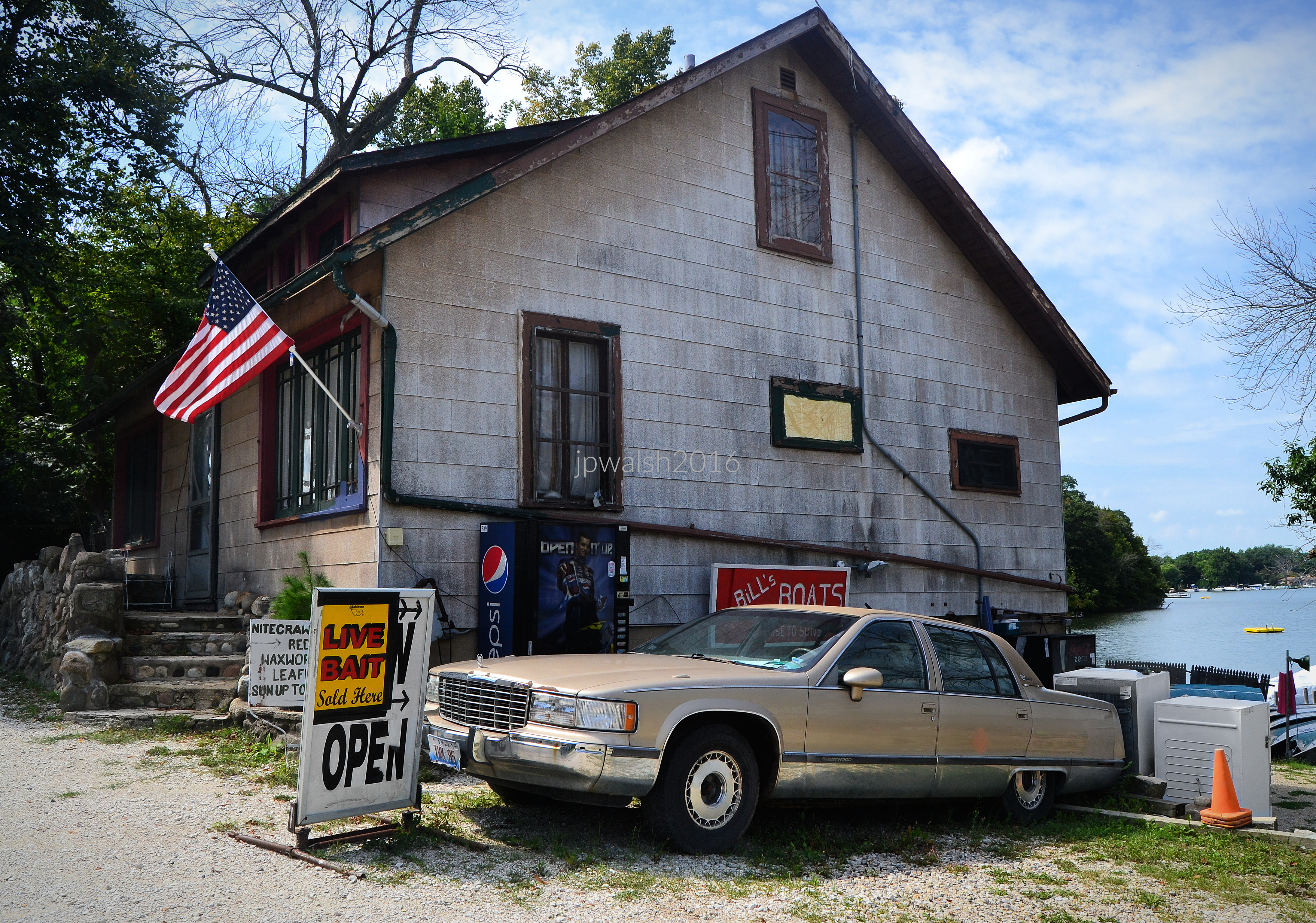
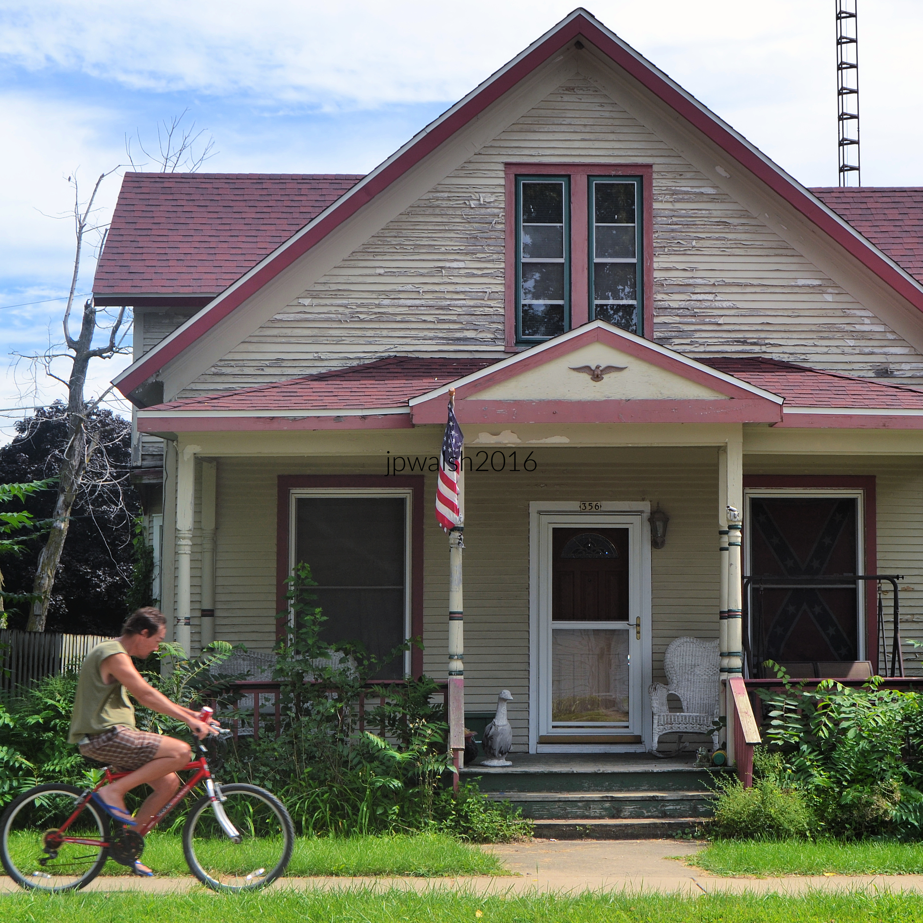
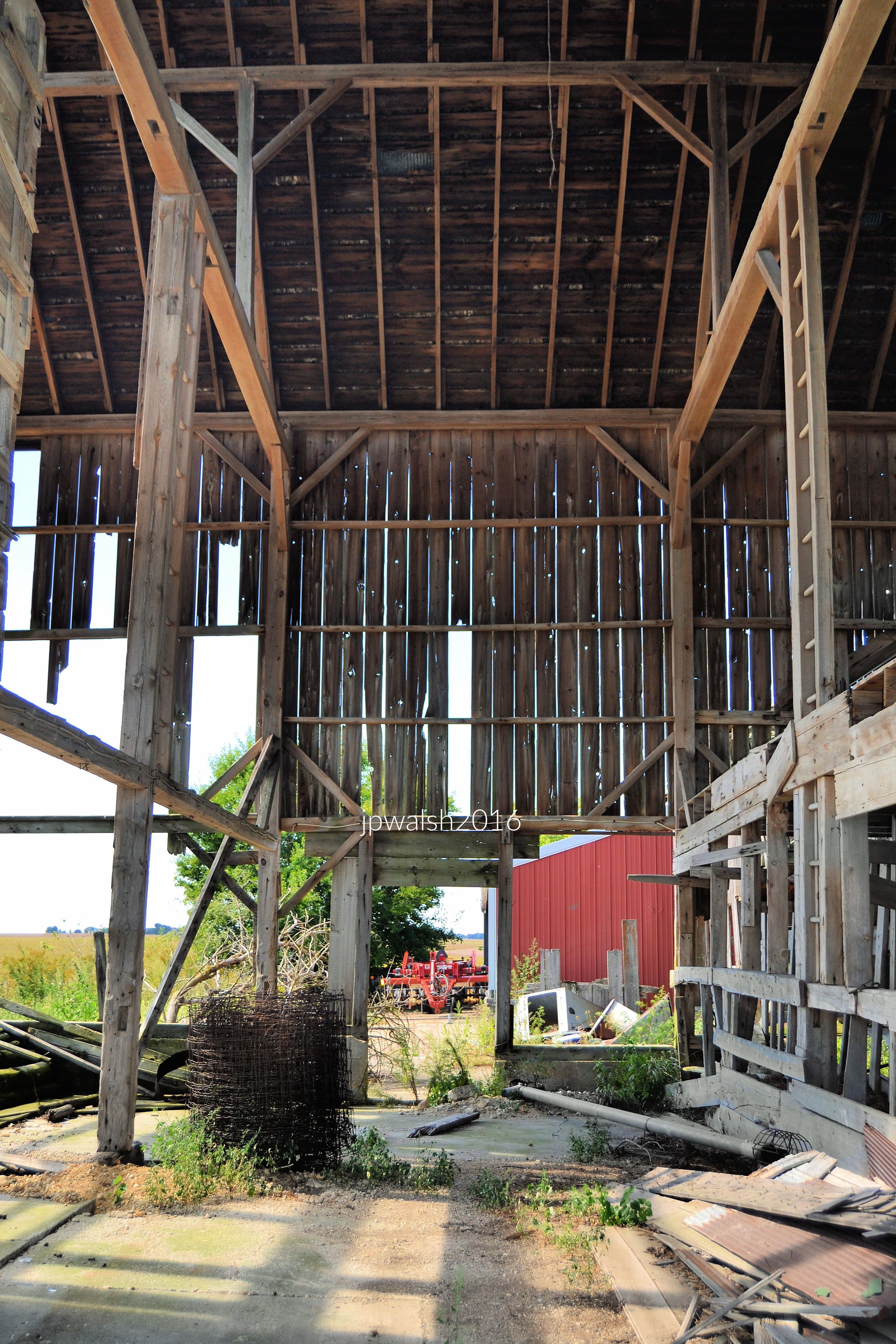
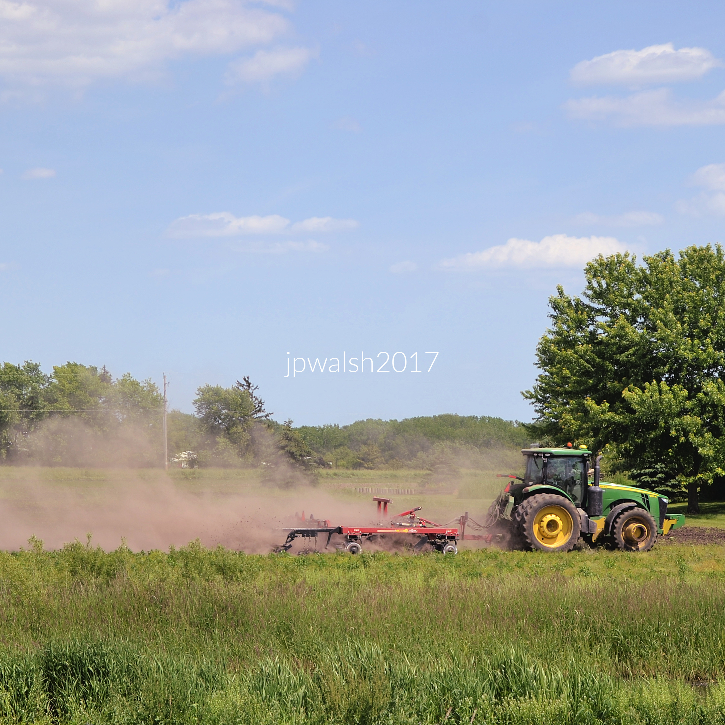
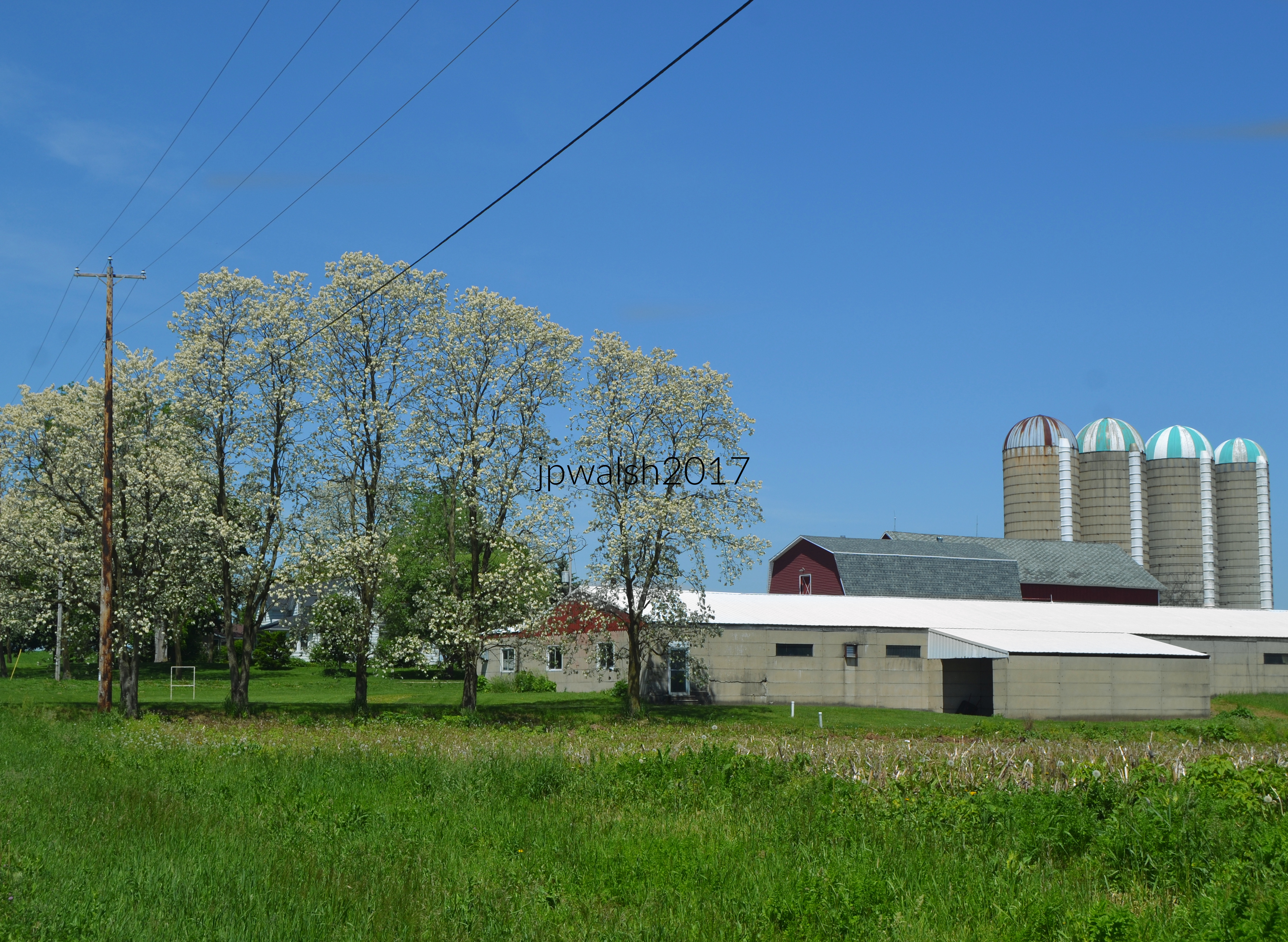
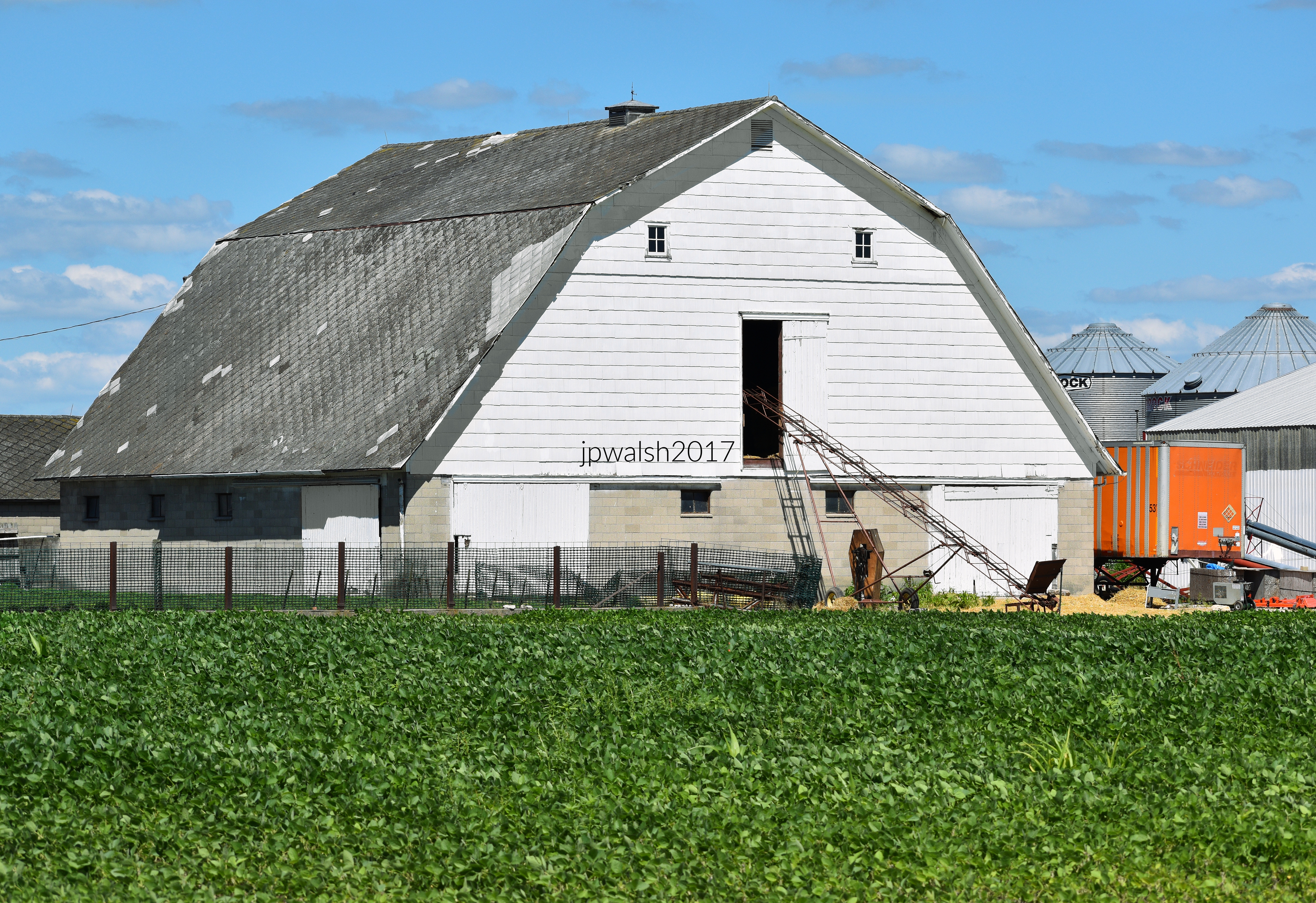
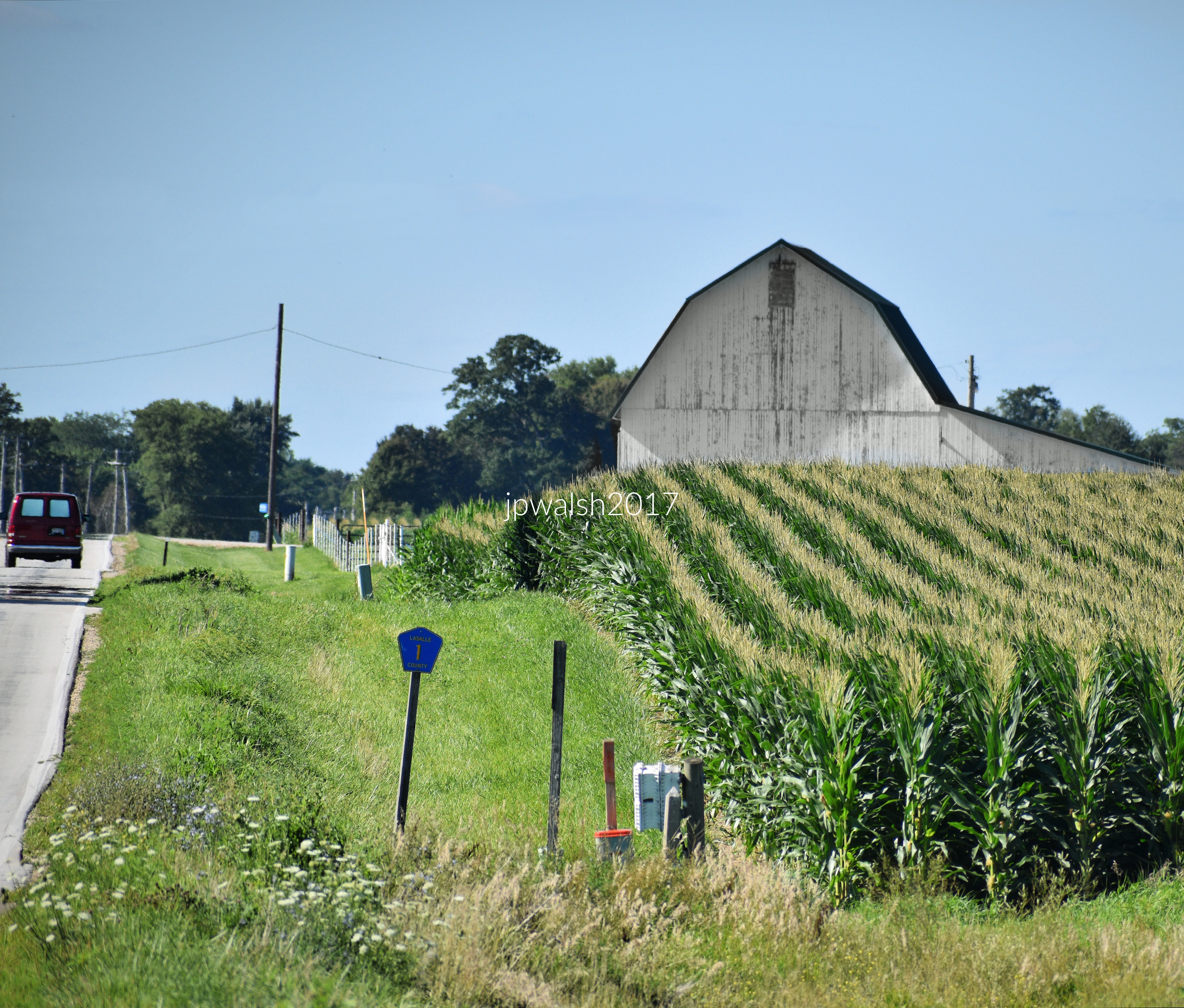
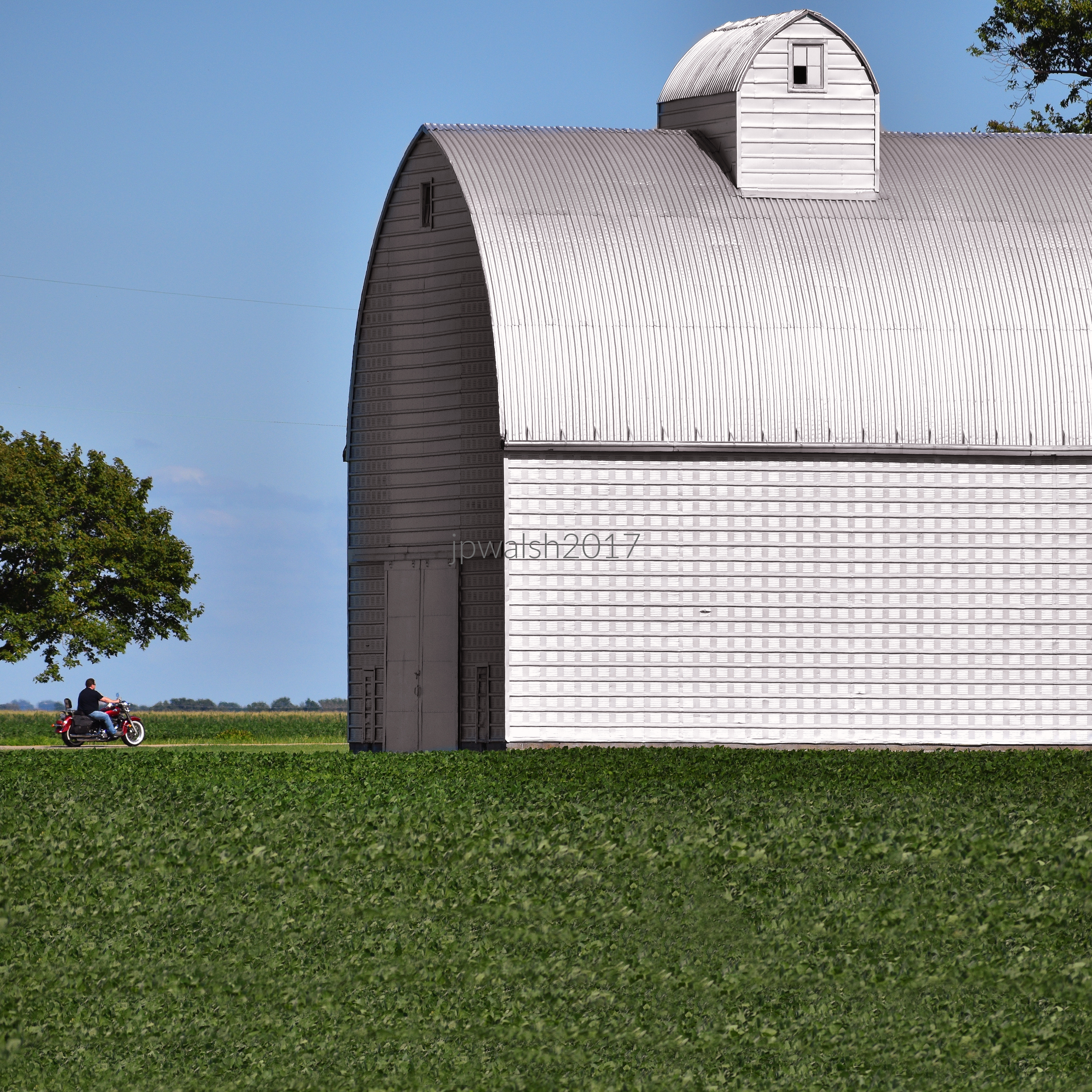
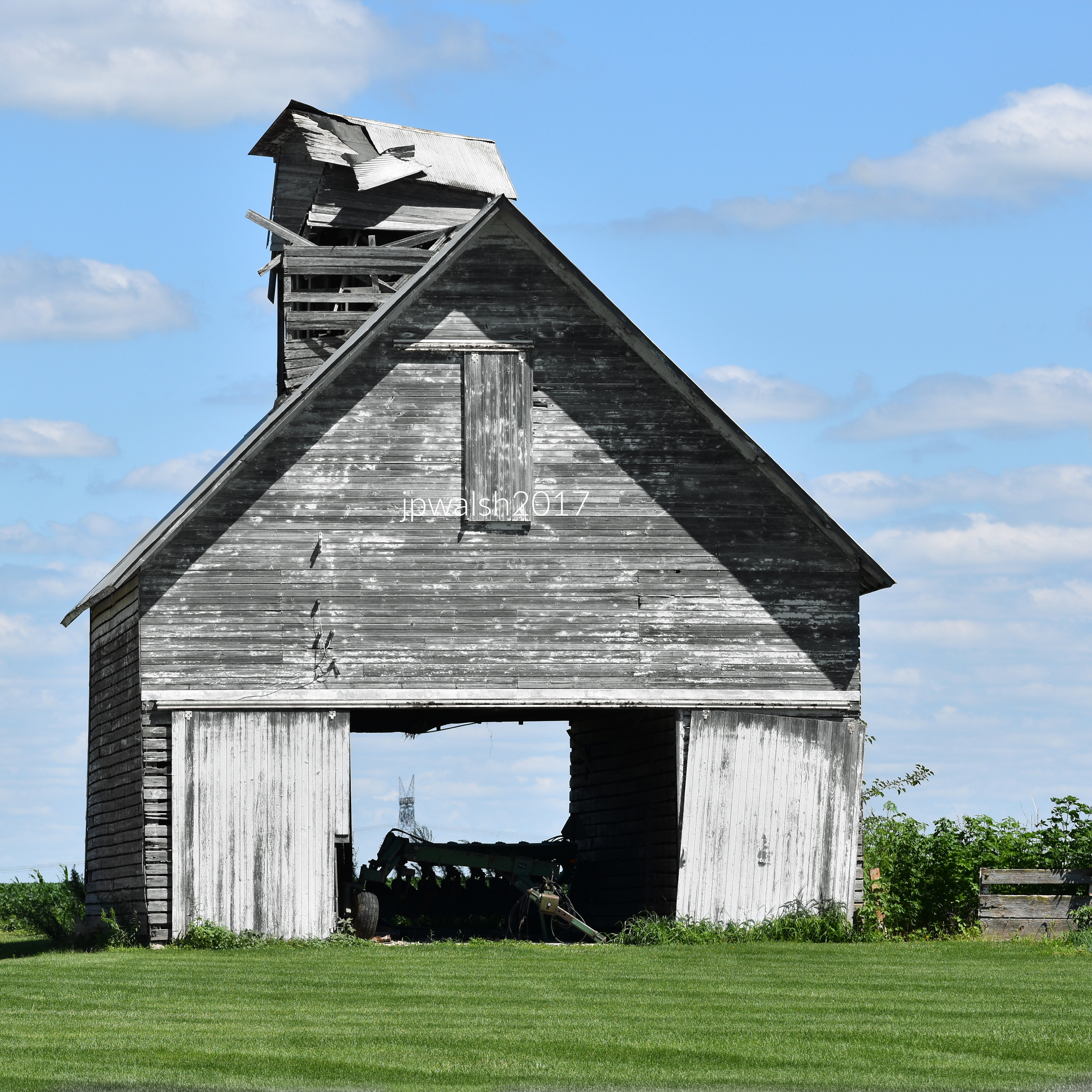
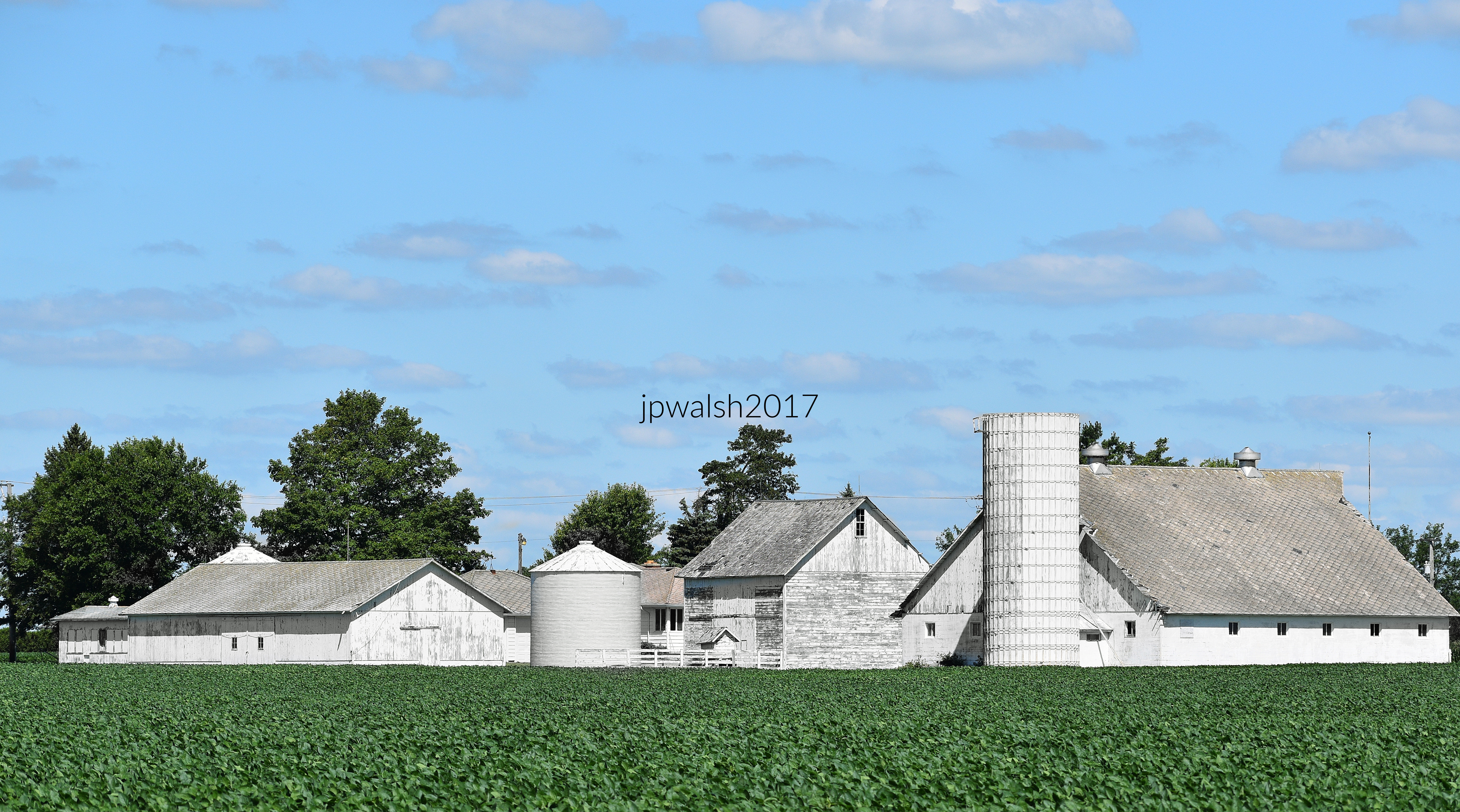
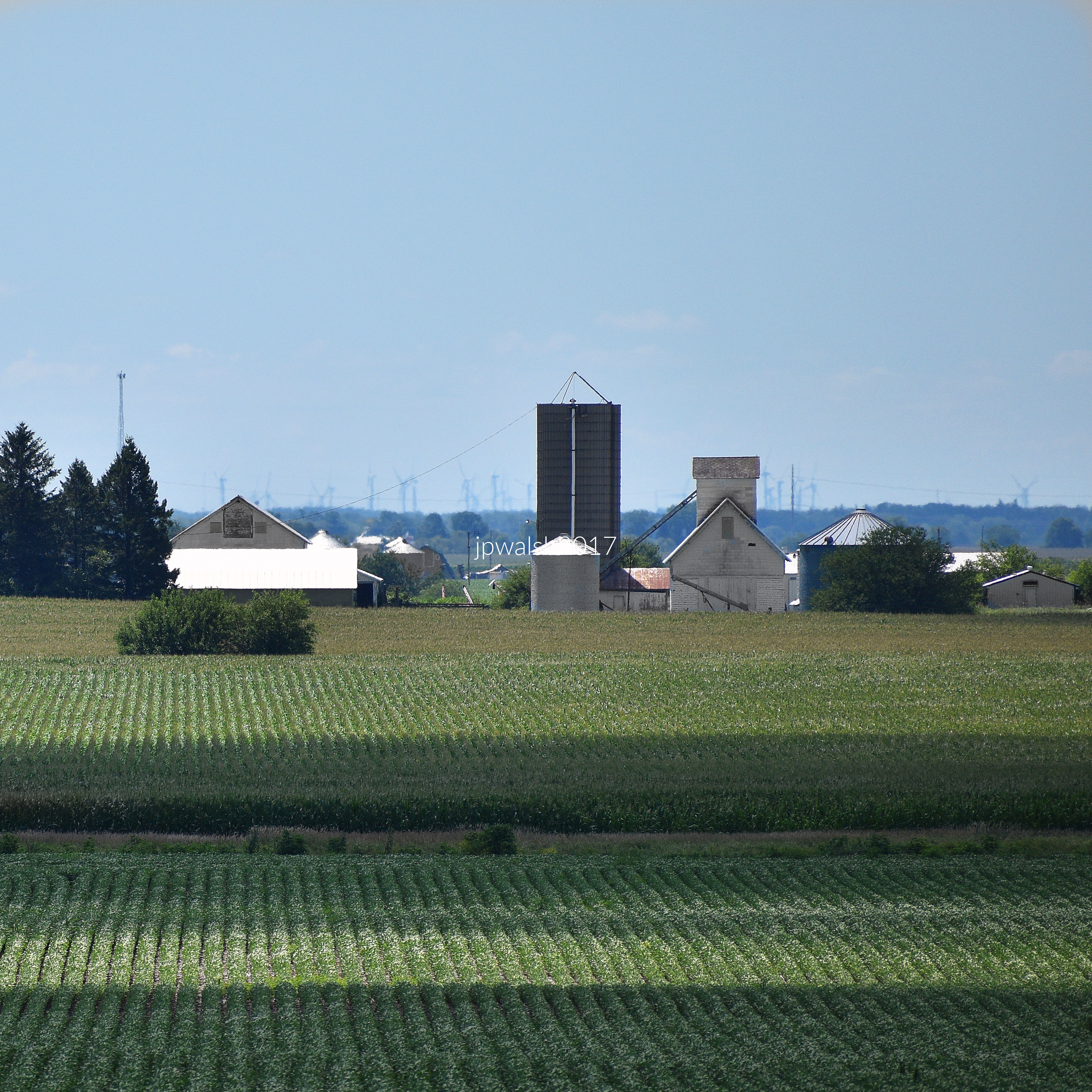
Edgar Lee Masters understood that it is the Midwest’s people – often defined as individualistic, hospitable, diverse, industrious, good-willed, courageous and independent – who imbue the region its greatest distinction. It is a populace and setting that, despite various economic setbacks and pockets of unfortunate decline, build and display what is often photographed on Midwest roads: historic canals, roads, barns and farms, houses. In the 21st century new things of interest can be seen on Midwest roads such as cellphone towers and wind turbines as older things, like barns and even some towns, decay or disappear.
Many famous American and international figures have lived and traveled on Midwest roads such as U.S. presidents, writers, actors, artists, business people, etc. This includes James Monroe (in 1785), Charles Dickens (1842), John Muir (1849), Henry David Thoreau (1861), Antonín Dvořák (1893), Winston Churchill (1946). Midwest natives include Carl Sandburg, Ernest Hemingway, Thomas Edison, Edgar Lee Masters, Walt Disney, Mark Twain, Jane Addams, Harry S Truman, Dwight Eisenhower, Ronald and Nancy Reagan, Barack and Michelle Obama, Frank Lloyd Wright, Kurt Vonnegut Jr., John Wayne, Wyatt Earp, “Wild Bill” Hickok, Jesse James, F. Scott Fitzgerald, Judy Garland, Dinah Washington (“Queen of the Blues”), and many, many more.
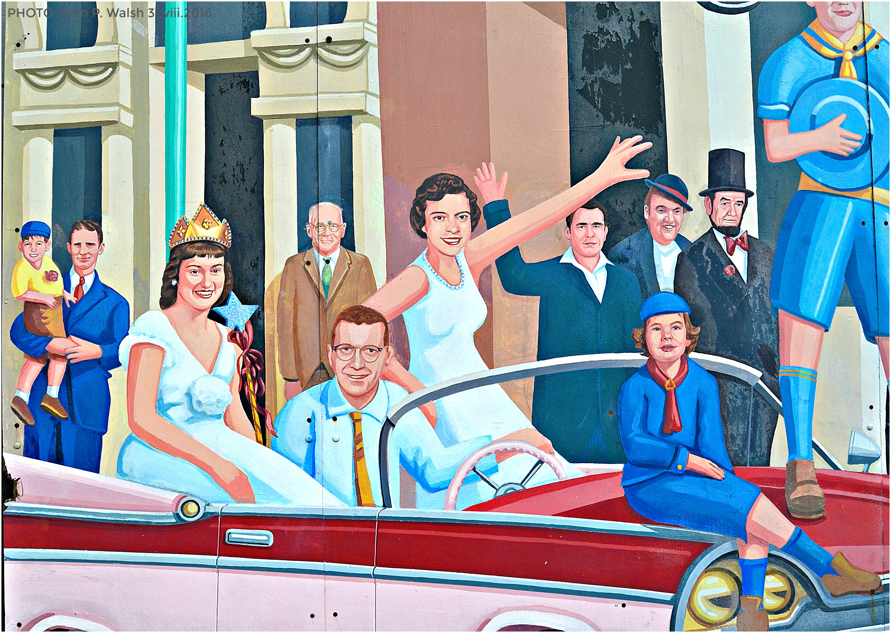
But It is Abraham Lincoln whose memory is most famously linked to Midwest Roads. Riding on his horse, “Old Bob,” Lincoln loved to travel the Eighth Judicial Circuit in central Illinois as a defense lawyer. It is to the 16th U.S. president and a Midwestern spirit he manifested to whom this photographic essay is dedicated.
SOURCES: E.L. Masters quotes from The Sangamon by Edgar Lee Masters with Introduction by Charles E. Burgess, University of Illinois Press, Urbana & Chicago, 1988 (first published 1942), p.6.
Dell Rhea’s Chicken Basket at 645 Joliet Road in Willowbrook, Illinois, is 22 miles southwest of downtown Chicago.
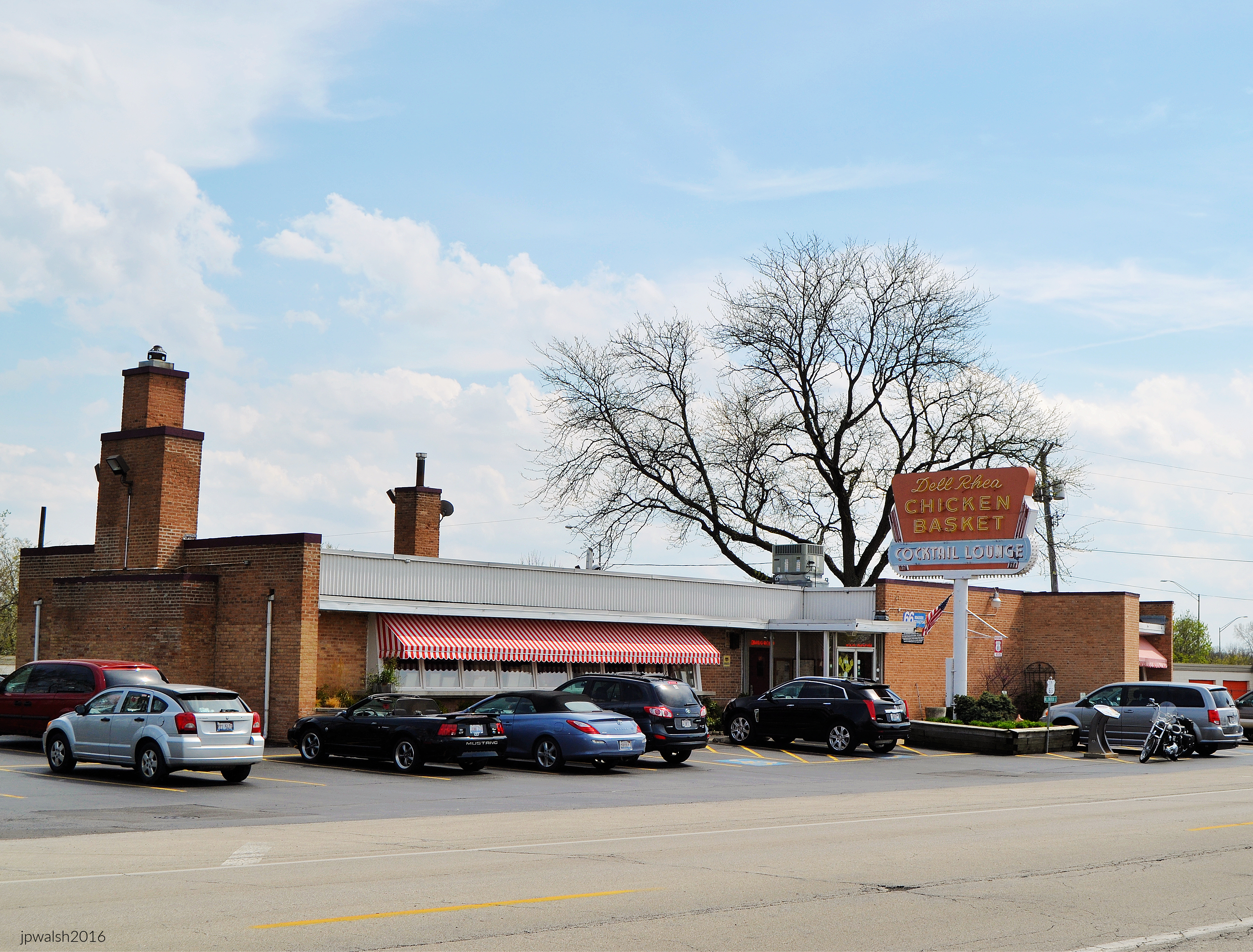
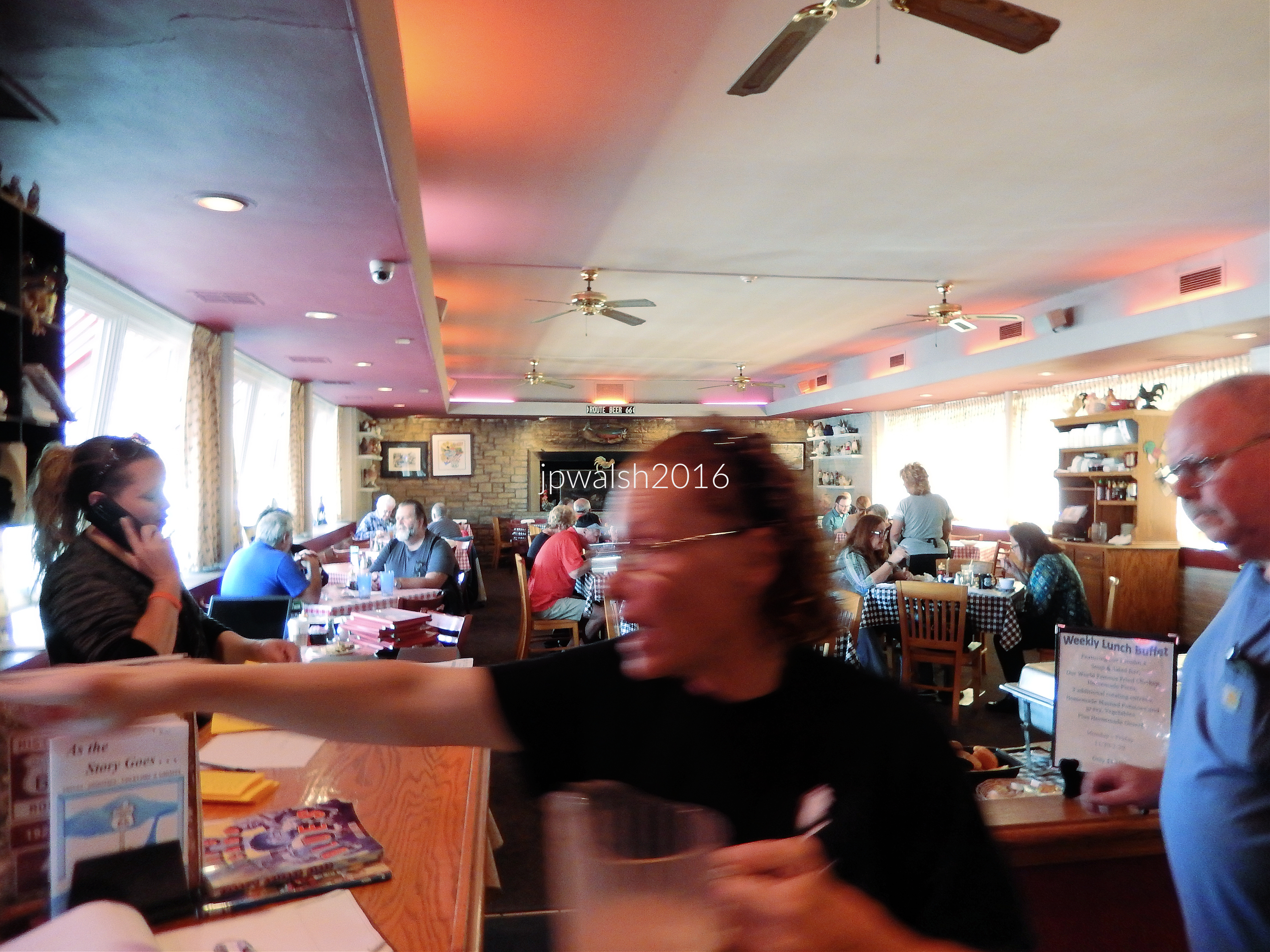
The Chicken Basket is a mandatory dine-in or carry-out stop on a “Midwest Roads” visit. Vintage roadhouse decor and family-oriented service is joined to the menu which features fresh, succulent fried chicken cooked-to-order.
Opened in 1926
The business first opened in 1926 as a gas station and lunch counter on the brand-new Route 66. U.S. Route 66 traveled from Chicago to Los Angeles, California —a distance of more than 2,000 miles.
In 1939, fried chicken was served for the first time by its original owner, Irv Kolarik.
In 1946 the present one-story brick commercial building was designed and built by architect Eugene F. Stoyke (1912-1993) next to the original building. It was during the post-World-War-II travel (and baby) boom that it became a full-service restaurant.
Original windows and signage
Dell Rhea’s bay of 9 single-light-glass-and-wood-canted windows is original where an immense fireplace anchored the dining area’s north wall. The neon-and-metal sign in the photograph was original when this photograph was taken. It was replaced in 2017 with an exact replica. In 1956, a cocktail lounge was added to the south.
Bluebird Bus stop to St. Louis
In 1962 Interstate 55 opened—the major expressway connecting Chicago, St. Louis, Memphis and New Orleans—and effectively retired U.S. Route 66 in this part of Illinois.
In front of the restaurant there was a Bluebird Bus stop (founded in 1927) which people could take to St. Louis or use to send packages across country.
New Owners
In 1963 the Chicken Basket was bought by Chicago businessman Delbert Francis “Dell” Rhea (1907-1992) who knew how to invigorate the eatery while maintaining its tradition for a new era.
The popular Chicken Basket was owned and managed by the Rhea family until 2019. The Lombardi family took over with the promise to keep intact the original recipe which is unchanged since 1946 and continue the same Chicken Basket tradition.
SOURCES: http://www.chickenbasket.com/ and https://www.nps.gov/nr/travel/route66/dell_rheas_chicken_basket_hinsdale.html.
White Fence Farm Main Restaurant 1376 Joliet Rd, Romeoville, IL is 30 miles southwest of downtown Chicago.
White Fence Farm is 30 miles southwest of downtown Chicago at 1376 Joliet Road in Romeoville, Illinois. In the 1920s Stuyvesant “Jack” Peabody (1888-1926), son of a wealthy coal baron, opened White Fence Farm to feed his personal guests who visited his 500-acre horse farm on the opposite side of the newly-opened U.S. Route 66.
In the mid1930s Peabody started to promote the domestic wine industry by featuring California wines at the Romeoville restaurant.
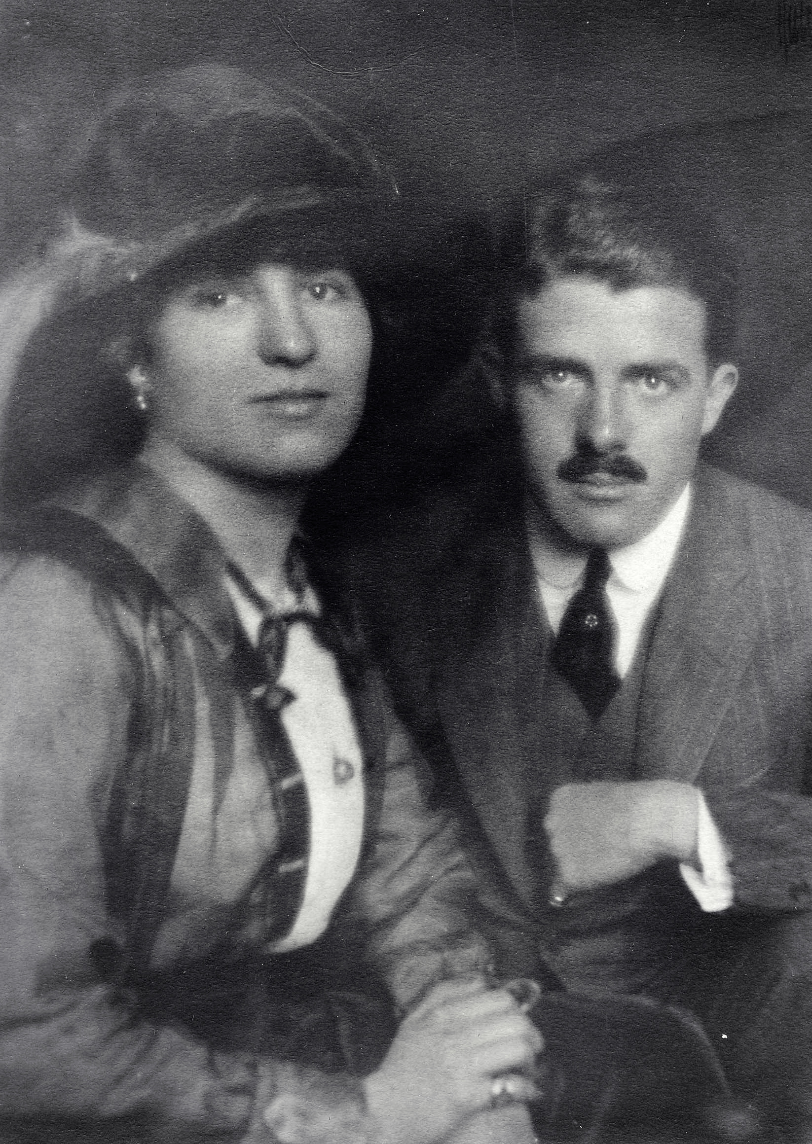
(Above) Children of coal magnate F.S. Peabody (1859-1922) in a photograph from around 1910. When May died at 44 years in 1936 her estate was valued at around $500,000 – about $10 million in 2021. F.S. Peabody was the largest coal producer in the U.S. He died in 1922 in Oakbrook, Illinois, at 63 years old after he suffered a heart attack at a house- warming party he was giving to celebrate the completion of his new mansion.
Since 1954, the Hastert family has owned and operated White Fence Farm. Advertising itself as the “World’s Greatest Chicken,” the restaurant building has been expanded many times under the Hasterts. Within a country farm manor ambience, the popular restaurant boasts several dining rooms that can seat over 1,000 diners. White Fence Farm continues to offer some of freshest and best-tasting fried chicken in and around historic U.S. Route 66. The restaurant is a perennially popular destination, especially on weekends and during the warm weather months, where tourists and locals arrive in droves.
see – https://www.findagrave.com/memorial/207904858/francis-stuyvesant-peabody; https://www.findagrave.com/memorial/213107315/may-henderson-osborne; https://www.findagrave.com/memorial/176456605/stuyvesant-peabody – retrieved October 19, 2021.


Dari Fair at 2813 Kilburn Ave. Hwy. 70 in Rockford, Illinois.

Since 2023 the old-fashioned walk-up ice cream window shop is under new ownership by Rockford natives and called Willyums Dari Fair.
Rich & Creamy is on the old Route 66 highway at 920 N. Broadway Street in Joliet, Illinois.

Rich & Creamy with its figures of “Joliet” Jake and Elwood Blues (“The Blues Brothers”) atop its flat roof is a classic ice cream stand on the old Route 66 highway.
U.S. Route 20 is the longest road in the country.

U.S. Route 20 stretches from Boston, Massachusetts, to Newport, Oregon. That’s about 3,100 miles. Route 20 began its development on the East Coast in the early-mid1920’s. The road reached Illinois in 1938 and is mostly unchanged since that time. In 1955 the Illinois General Assembly designated the road’s length in Illinois the U.S. Grant Memorial Highway. The sign was produced in late 2006.


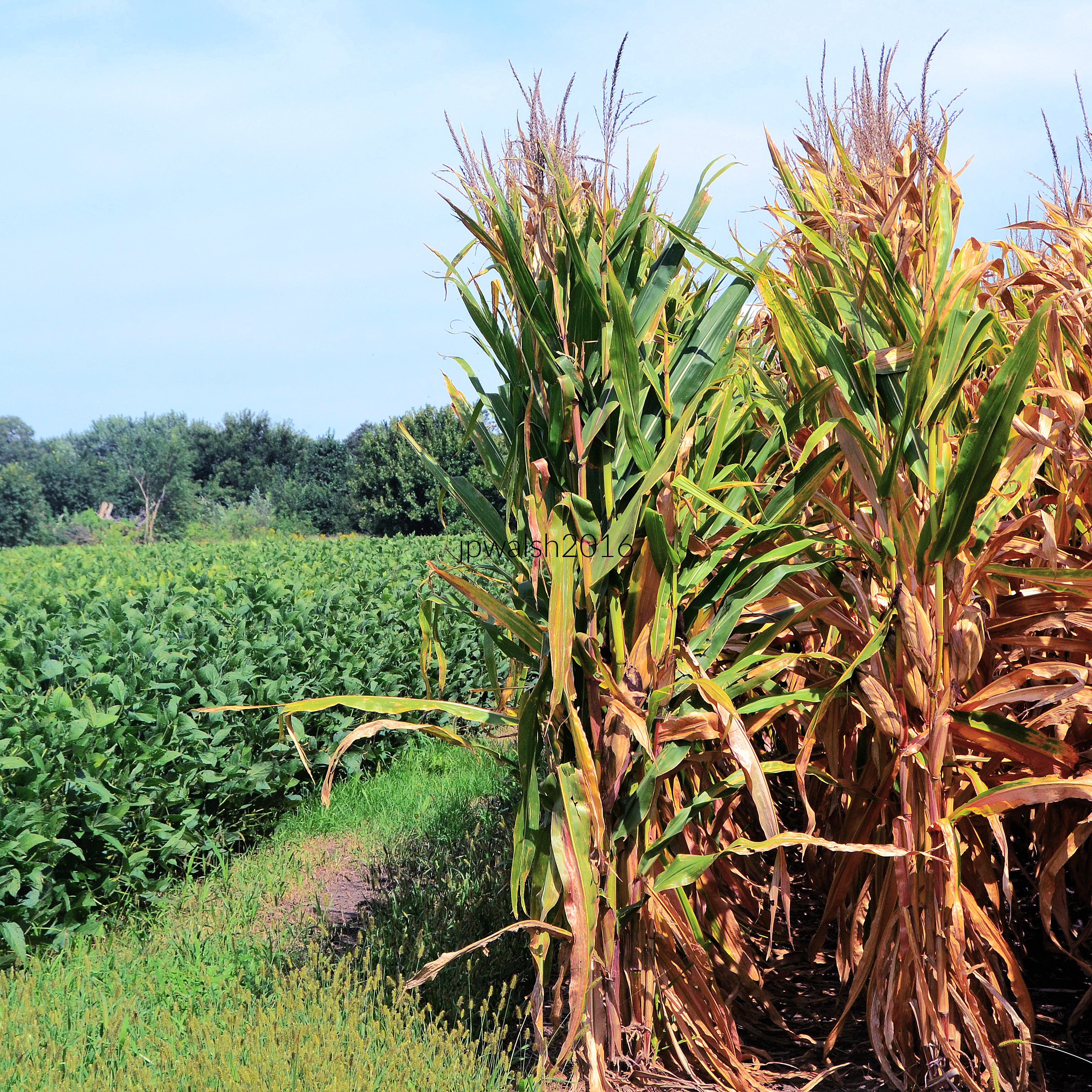
Corn for sale.


The small frame house, c. 1860, was moved or demolished before November 2018. The candy store, in business in West Dundee since 1998, reopened in another location “around the corner” by March 2017. see – https://www.chicagotribune.com/suburbs/elgin-courier-news/ct-ecn-west-dundee-around-corner-candy-moved-st-0312-20170310-story.html – retrieved July 2, 2021.


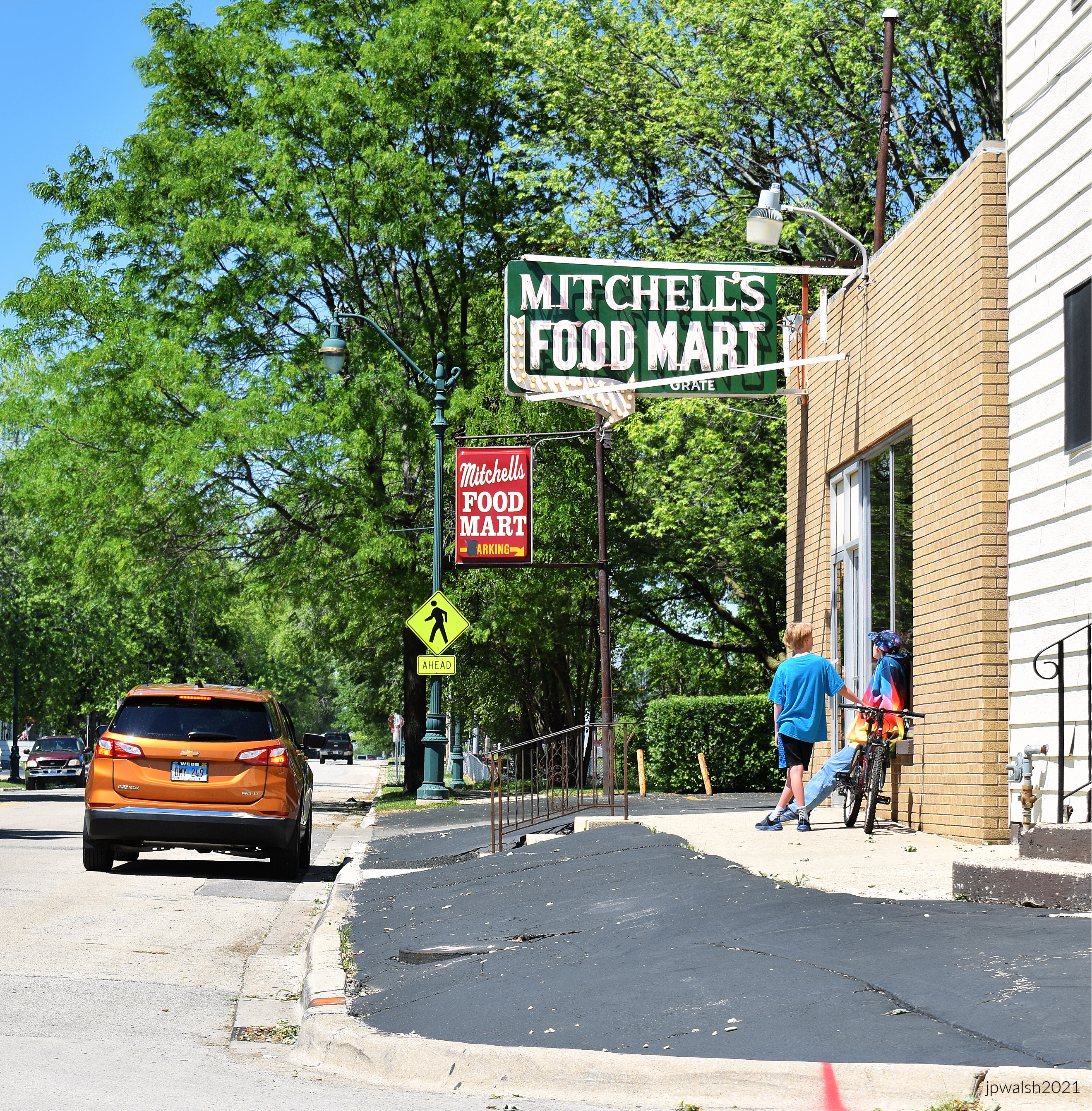
In the early 1950’s, Alfred, Jr. (Mitch) and Norma Mitchell opened a small grocery store on the corner of Raynor and Curtis Avenues. In 1957, it was expanded to the present location adjacent to the original building. A short time later, Harley Mitchell joined his brother.


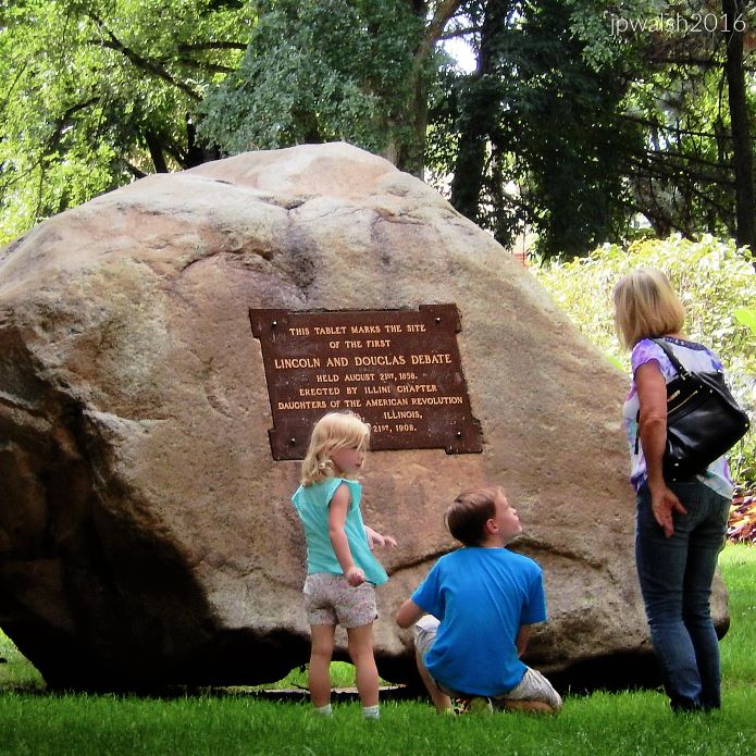
“In honor of ABRAHAM LINCOLN Who practiced law from 1851 to 1859 Before the Supreme Court of Illinois At its sessions then held in the old La Salle County Court House on this site Erected by the Illini Chapter Daughters of the American Revolution 1922.”


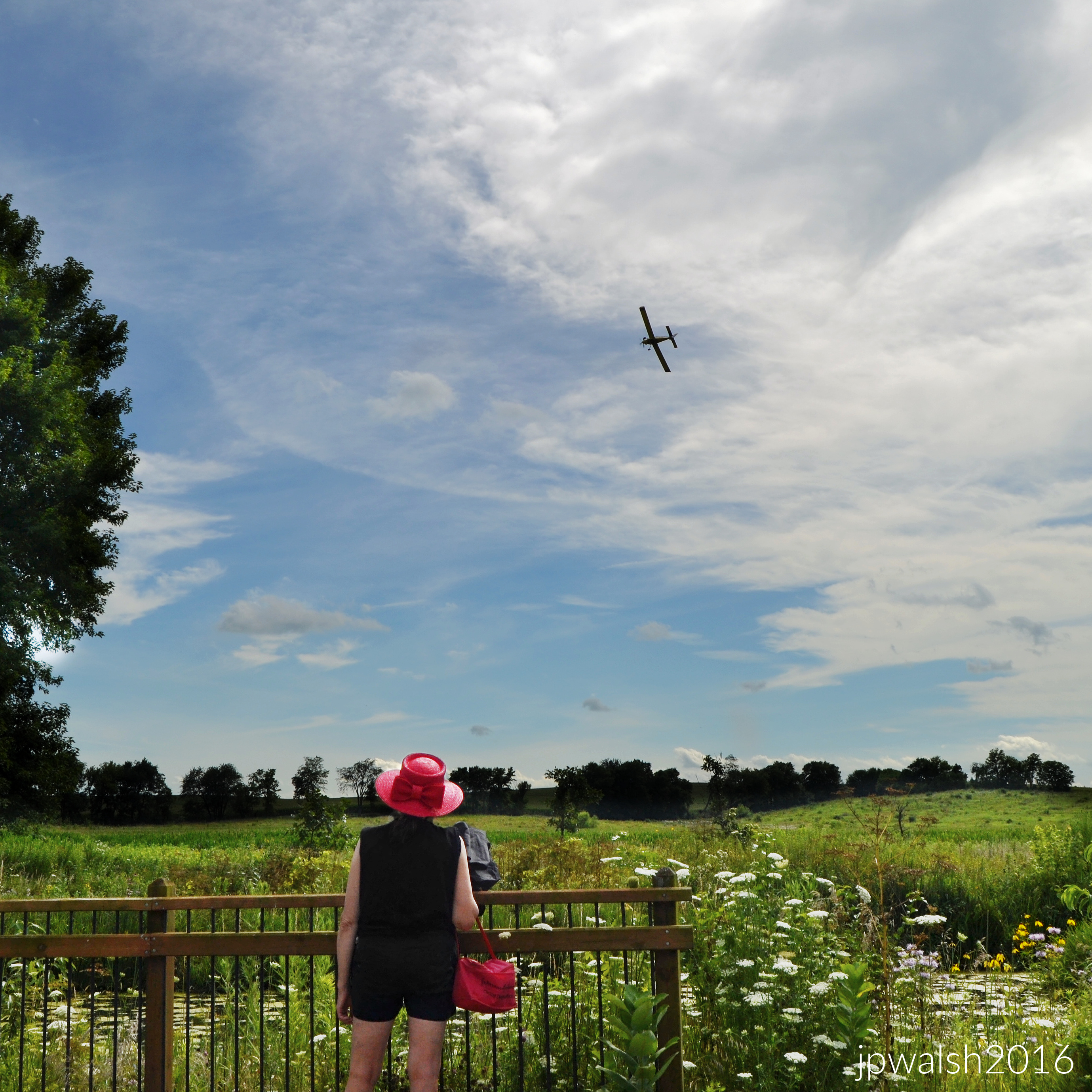
Air Classics Museum of Aviation, Sugar Grove, IL. NORTH AMERICAN AVIATION P-51D MUSTANG was an American long-range, single-seat fighter/bomber used during World War II. At the start of the Korean War, the Mustang was the main fighter of the United Nations until jet fighters (such as the F-86) took over. In the background is the CURTISS-WRIGHT CORP P-40 WARHAWK made famous by the Flying Tigers that were flown in China in 1941.
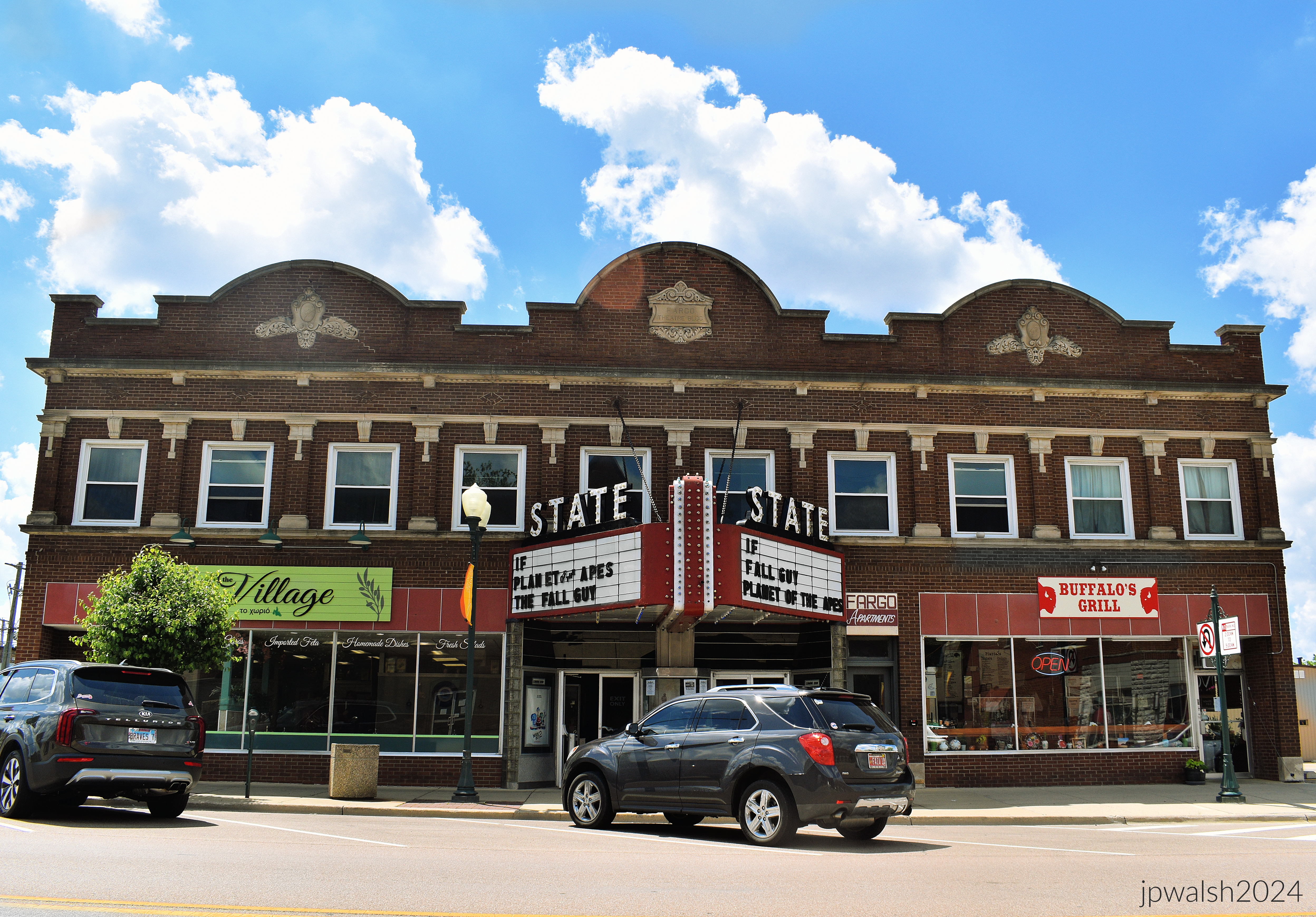
The State Theater in Sycamore, Illinois, opened as the 900-seat Fargo Theater on December 12, 1925. It was equipped with a Geneva pipe organ. It closed on November 2, 1938, and reopened later that month with 491 seats. On August 6, 1940, it was renamed the State Theater. Today it is triplex theater showing first run films. In summer 1996 we saw “Independence Day” here. https://cinematreasures.org/theaters/1658 – retrieved January 19, 2025.

Founded in 1833, Batavia (originally, “Head of the Big Woods”) is the oldest city in Kane County.


The event’s website claims: “”
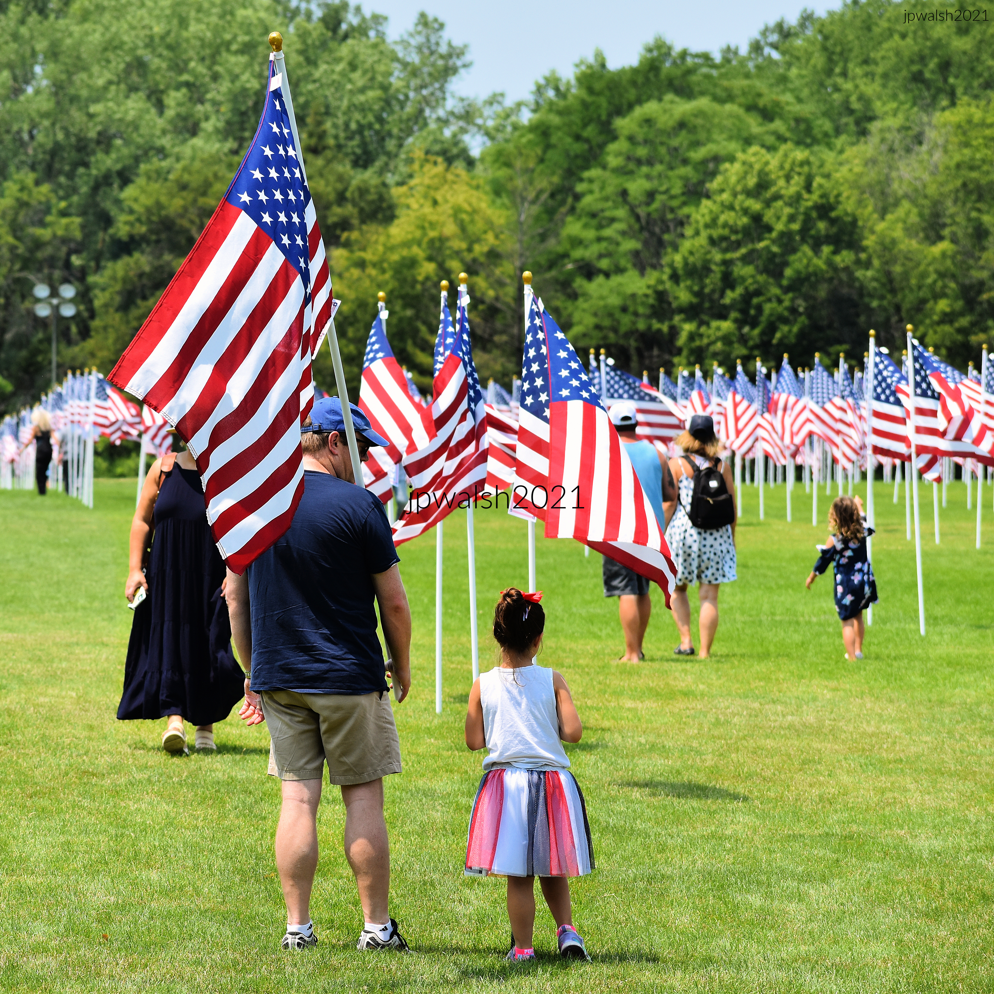
“Among the quiet rows of flags, a new generation learns what remembrance looks like. This stirring display of 2,000 flags brings the community together in a patriotic tribute to honor our heroes.”

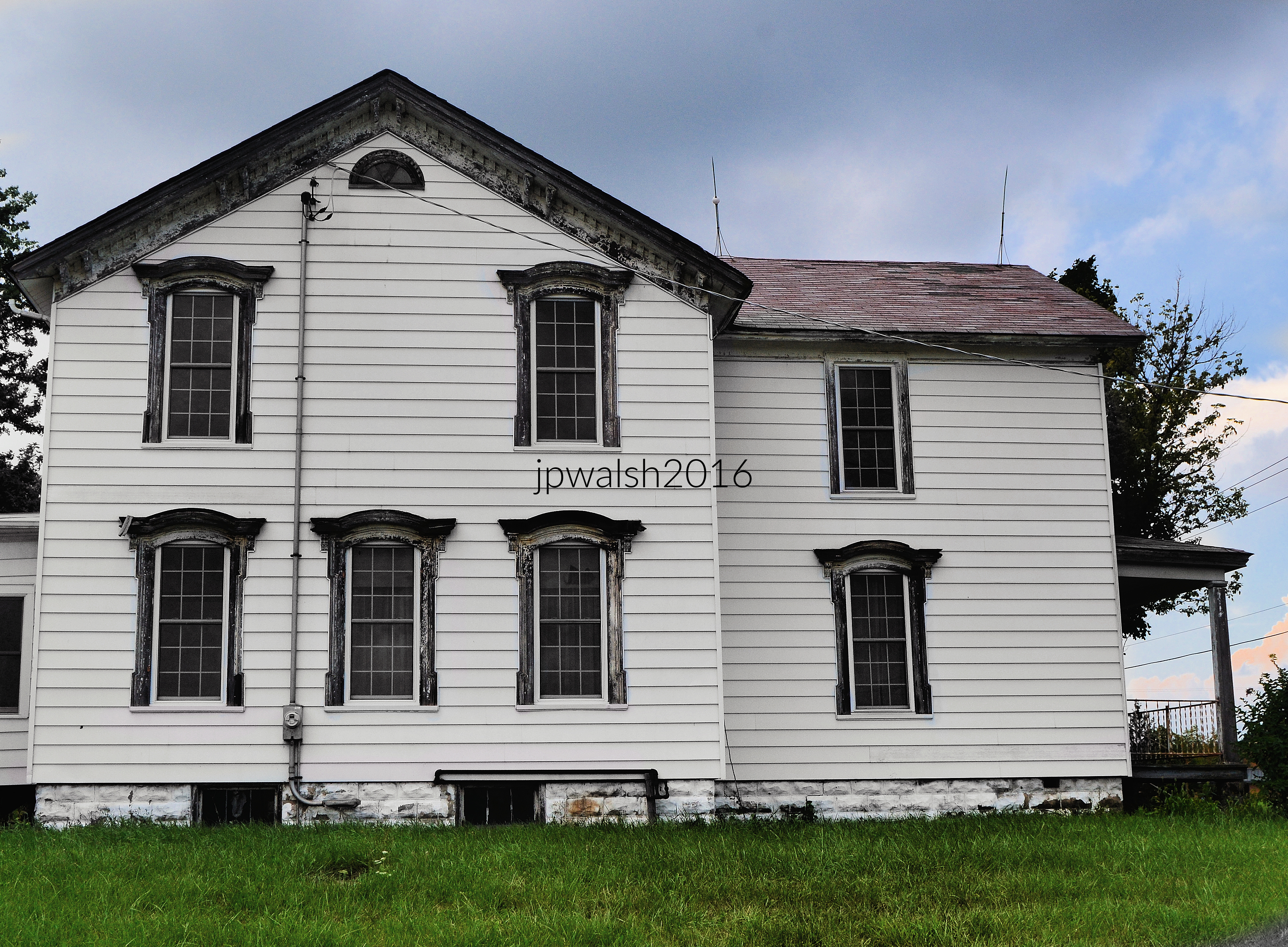


The oldest surviving building in Richmond, Illinois, was built 1844 by Charles Cotting, a pioneer who platted the town and built its first mill. The house sits on a river stone foundation.


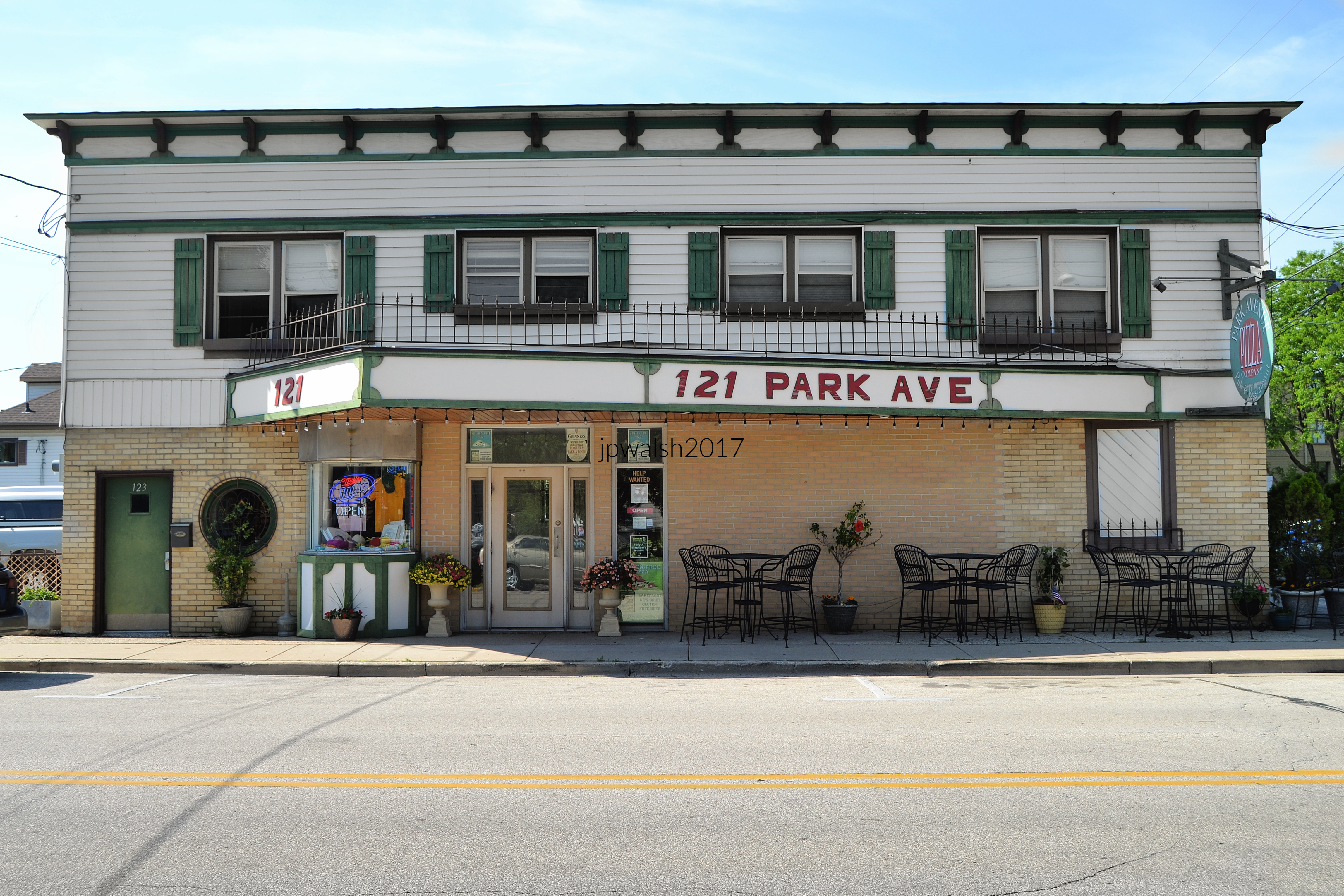
121 Park Avenue, Pewaukee, WI 53072. Opened in 1948 as the Lake Theatre, the venue closed in 1977. By 1983 the building reopened as Park Avenue Pizza Company restaurant. The ticket booth from the building’s days as a movie theater can still be seen under the canopy at left.


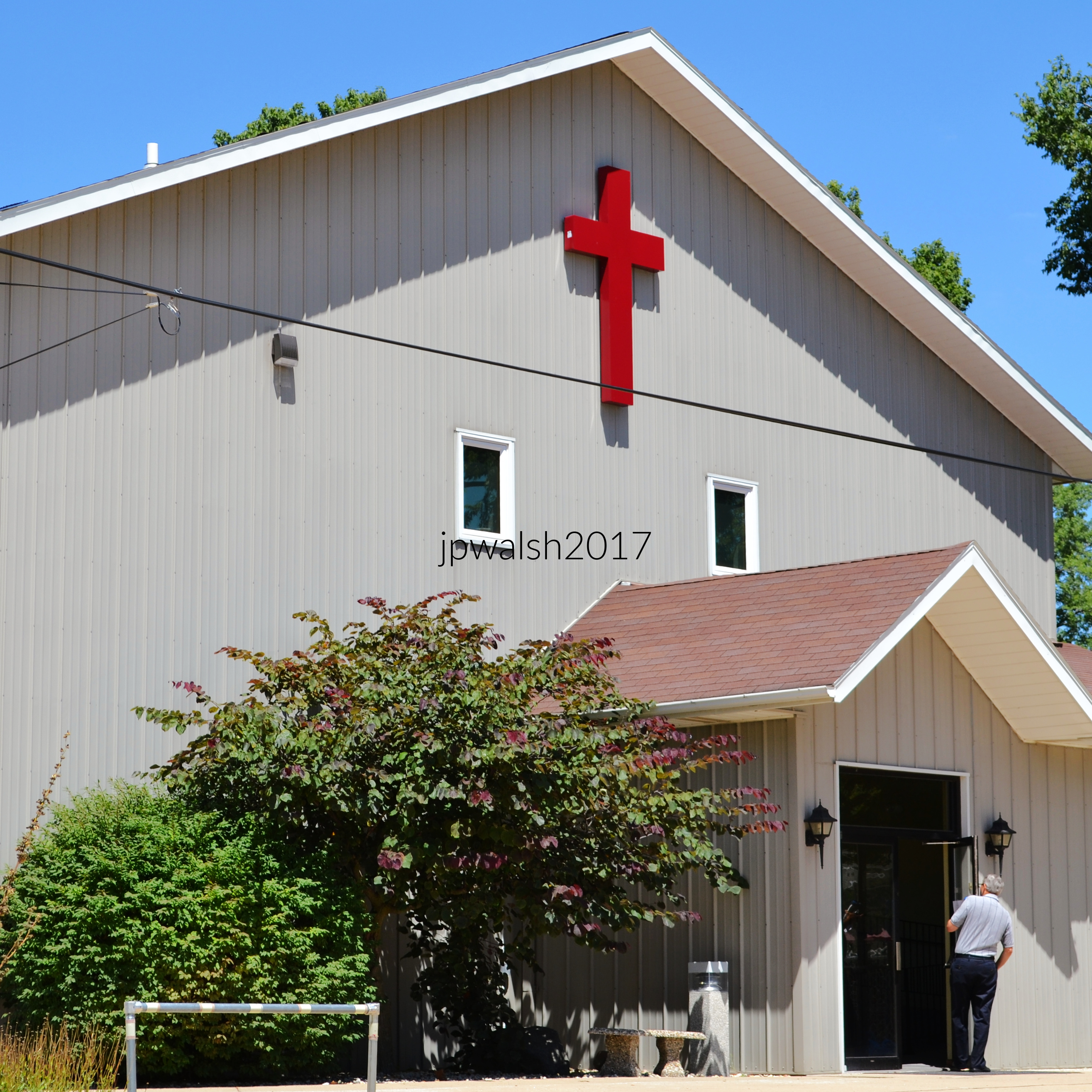
1552 US-52 Dixon IL. St. James Evangelical Congregational Church of Dixon, IL. Early churches in Dixon, IL, originated around 1836–1837, with Methodist and other denominations forming early congregations.


Freight rail today, Ottawa was historically a stop on the Chicago, Rock Island and Pacific Railroad.
Many Lutherans in and around Ottawa, IL, had been converted in Norway before emigrating to this country, but most of them came to life in God in the revivals that swept Northern Illinois in the first decades of the 1900’s. see – History – Bethel Lutheran Brethren Church – retrieved May 1, 2026.


“A stilt‑walking Uncle Sam takes tentative steps and sends a ripple of excitement through the crowd.”