


FEATURE image: September 1994. Montaña de Oro State Park. San Luis Obispo/Los Osos, California, 80%
All photographs & text by John P. Walsh.
Boston, Massachusetts (March 1976):

March 1976 —Author with my dad’s coworker at the Paul Revere House in Boston. Photo by my dad. In the Bicentennial year of 1976 we walked the Freedom Trail and explored the many temporary trails and exhibitions threaded through Boston’s neighborhoods. We spent time in the “Boston 200” displays, including Where’s Boston, an ambitious forty‑projector audio‑visual portrait of the city, and the exhibits at Faneuil Hall, long a meeting place for Revolutionary leaders. Moving through the exhibition, an interactive display asked you to make your own choices on the era’s critical issues and, at the end, told you—based on those choices—whether you would have been a radical patriot, a moderate, or a Tory. Thinking I might land as Sam Adams or Thomas Paine, I turned out to be some obscure moderate, a result that surprised me and left a lasting impression. I’m holding a late‑18th‑century Bible I bought in a Boston rare‑books shop. Years on, when I moved out, I left it on the same shelf in my room at my parents’ house for safekeeping, and there it mysteriously disappeared.
Effigy Mounds National Monument, near Dubuque, Iowa (September 2000):

September 2000 — The Mississippi River seen from the high bluffs of Effigy Mounds National Monument near Dubuque, Iowa. The monument protects hundreds of prehistoric earthworks built by pre‑Columbian Mound Builder cultures, most dating to the first millennium CE during the later Woodland period of North America.
Virginia — Rapidan River, near Chancellorsville (June 2001):
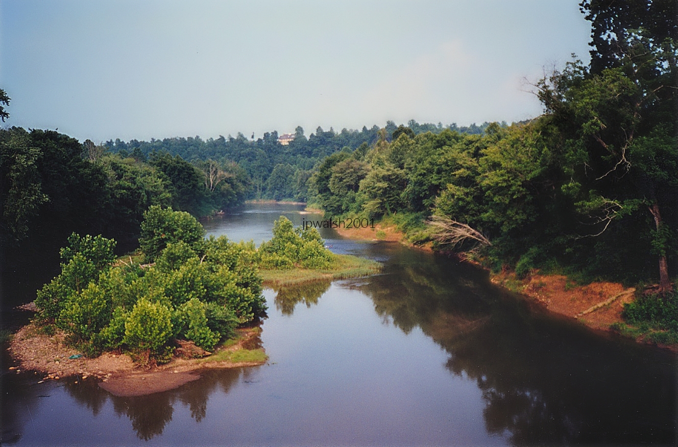
June 2001 — Rapidan River near Chancellorsville, Virginia: a quiet stretch of water that feeds the Rappahannock, the two rivers meeting just west of Fredericksburg. This calm scene sits atop ground once torn by Civil War fighting—Ely’s Ford (August 1862/ April-May 1863), Kelly’s Ford (March 1863), Chancellorsville (May 1863), Brandy Station (June 1863), and the Wilderness (May 1864)—all battles that unfolded along or near this tributary.
U.S.- Mexico border — Coronado National Memorial, Cochise County, Arizona (October 1988):
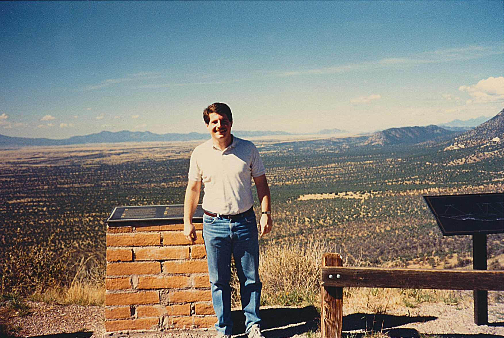
October 1988 — U.S.–Mexico border: standing at Coronado National Memorial in Cochise County, Arizona, with Mexico just behind me. At 6,700 feet atop Montezuma’s Pass, this is the point where Francisco Vásquez de Coronado and his conquistadores first entered what is now Arizona in 1540—less than fifty years after Columbus’s arrival and decades before Jamestown.
Arizona — Tumacácori Mission, upper Santa Cruz River Valley (October 1988):

October 1988 — Preserved ruins of Mission San José de Tumacácori, predating its inclusion in today’s Tumacácori National Historical Park in southern Arizona. Built entirely of adobe, lime, and fired‑clay brick, it stands as the oldest Jesuit and Franciscan mission site in the state. At right, the main church nave rises beneath its intact white, bell‑shaped dome; at left, the unfinished bell tower remains in partial silhouette. The low, weathered adobe walls across the foreground are remnants of the convento complex. In October 1988, Scottish photographer Albert Watson shot a major Vogue Italia feature here, with French model Charlotte Flossaut modeling pieces by Prada against the mission’s stark desert backdrop.
Arizona — Sedona (May 1989):
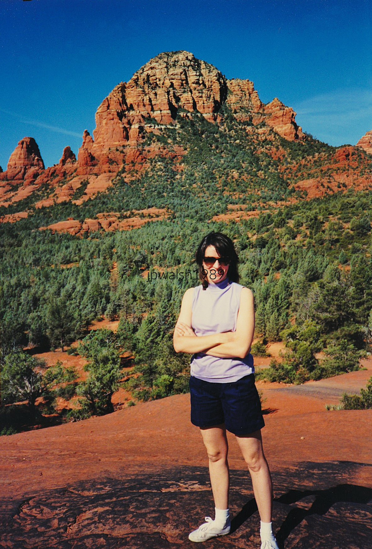
May 1989 — Sedona, Arizona. Through the leadership of then‑Governor Bruce Babbitt (1978–1987), a 286‑acre stretch of red sandstone canyon was set aside as Red Rock State Park. The preserve opened and was formally dedicated in October 1991.
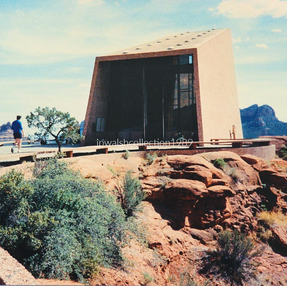
May 1989 — Holy Cross Chapel (1957), Sedona, Arizona. Inspired and commissioned by local rancher and sculptor Marguerite Brunswig Staude (1899–1988), the chapel was dedicated in 1957. Architects Richard Hein and August K. Strotz of Anshen & Allen designed the project, built on Coconino National Forest land under a special‑use permit secured by Senator Barry Goldwater. Construction supervisor Fred Coukos completed the chapel for $300,000—about $3.5 million in 2024 dollars—over roughly 18 months. see- https://www.findagrave.com/memorial/212538307/marguerite-staude and https://www.chapeloftheholycross.com/history – retrieved February 20, 2014.
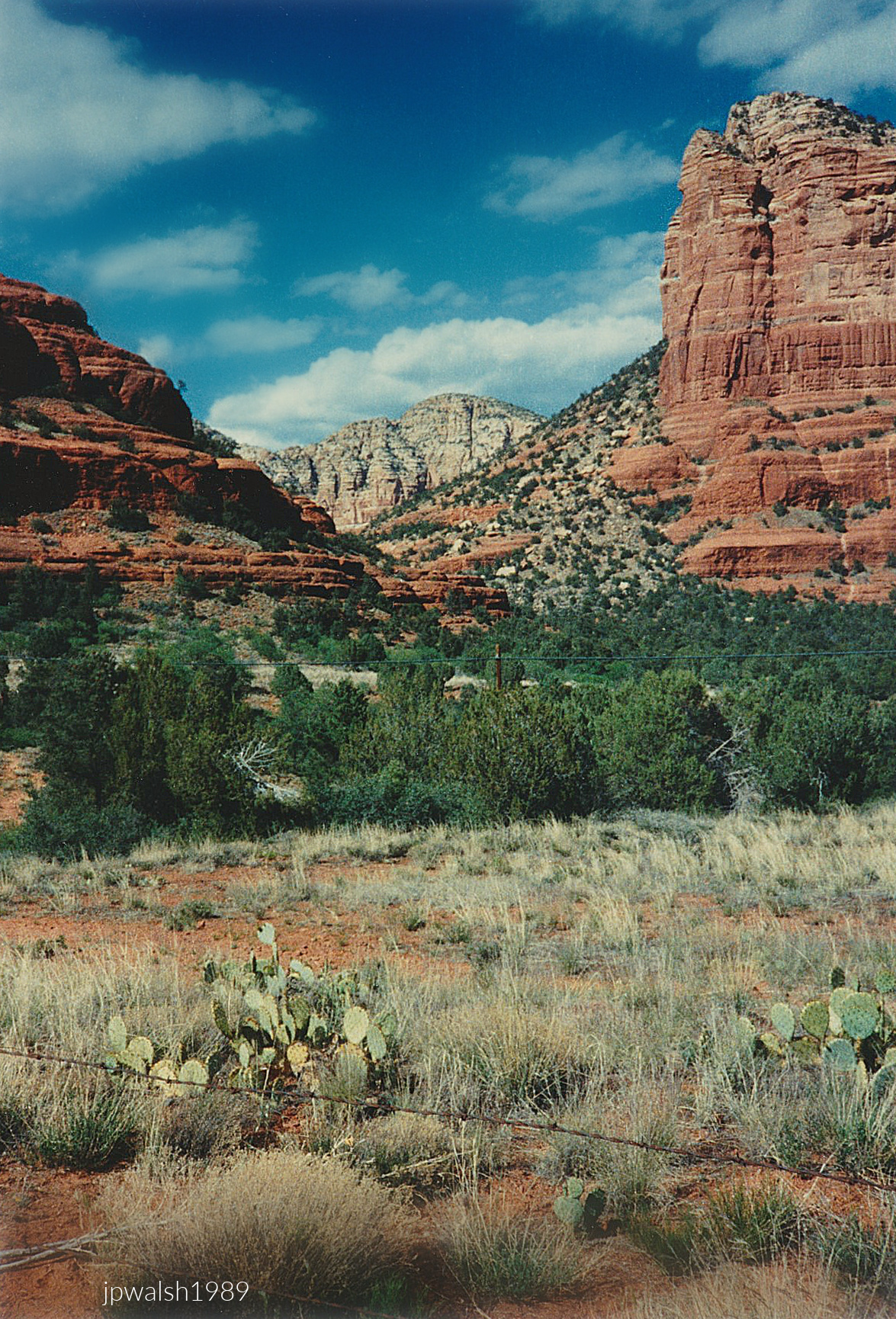
May 1989 — Sedona, Arizona.

The author (left), serving as Communications Director for a national insurance association, coordinated and hosted the visit of Arizona Governor Bruce Babbitt (center) to the Association’s annual meeting in May 1989. The former governor and 1988 presidential candidate delivered the keynote address at The Registry Resort in Scottsdale, Arizona. see – https://azstateparks.com/red-rock/explore/park-history – retrieved February 20, 2024.
Arizona — Montezuma Castle National Monument, near Camp Verde (May 1989):
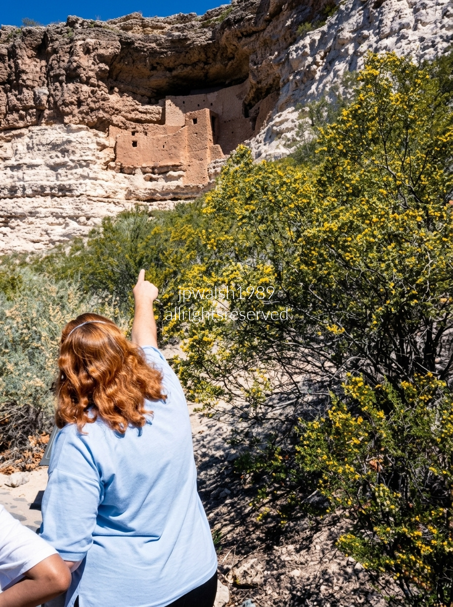
May 1989 — Montezuma Castle is a remarkably preserved 20‑room cliff dwelling set into a limestone alcove for 50 or so individuals or a few families. These people were agricultural and sedentary who built communities all over the Verde Valley. They raised corn, beans, squash and gourds and made necklaces of beads, shells and stone tens of feet long! Despite its name, it was built not by the Aztecs but by the Sinagua people beginning around 1100 CE and expanded over three centuries into,here, a five‑story communal structure. Perched 90 feet above the canyon floor, it was accessed by portable ladders that residents pulled up for protection. Its sheltered placement preserved it for centuries. In 1906, Theodore Roosevelt designated it one of the first U.S. National Monuments.
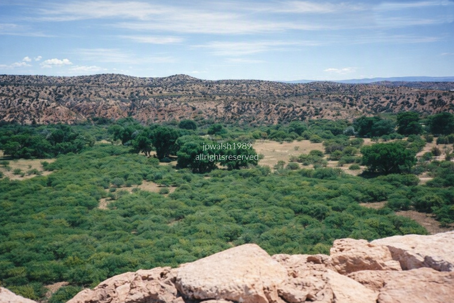
May 1989 — Overlook at Montezuma Castle National Monument near Camp Verde, Arizona. The valley floor below is filled with dense stands of Arizona sycamores and cottonwoods, thriving along the perennial flow of Beaver Creek beneath the monument’s limestone cliffs. The flat, light‑tan sedimentary walls and rolling hills reflect the unique geology of the Verde Valley, where ancient lake deposits formed the cliffs the Sinagua people used to carve their dwellings centuries ago.
Arizona — Tuzigoot National Monument, Clarkdale, Arizona (May 1989):

May 1989 — The roughly 20‑by‑20‑foot rooms were interconnected and entered from the rooftops. Indoors, residents slept, ate, and wove; most other daily activity took place outdoors. Tuzigoot was one of several such Sinagua hilltop complexes in the region, part of a broader network of elevated settlements built for protection, climate advantage, and oversight of the fertile valley below.
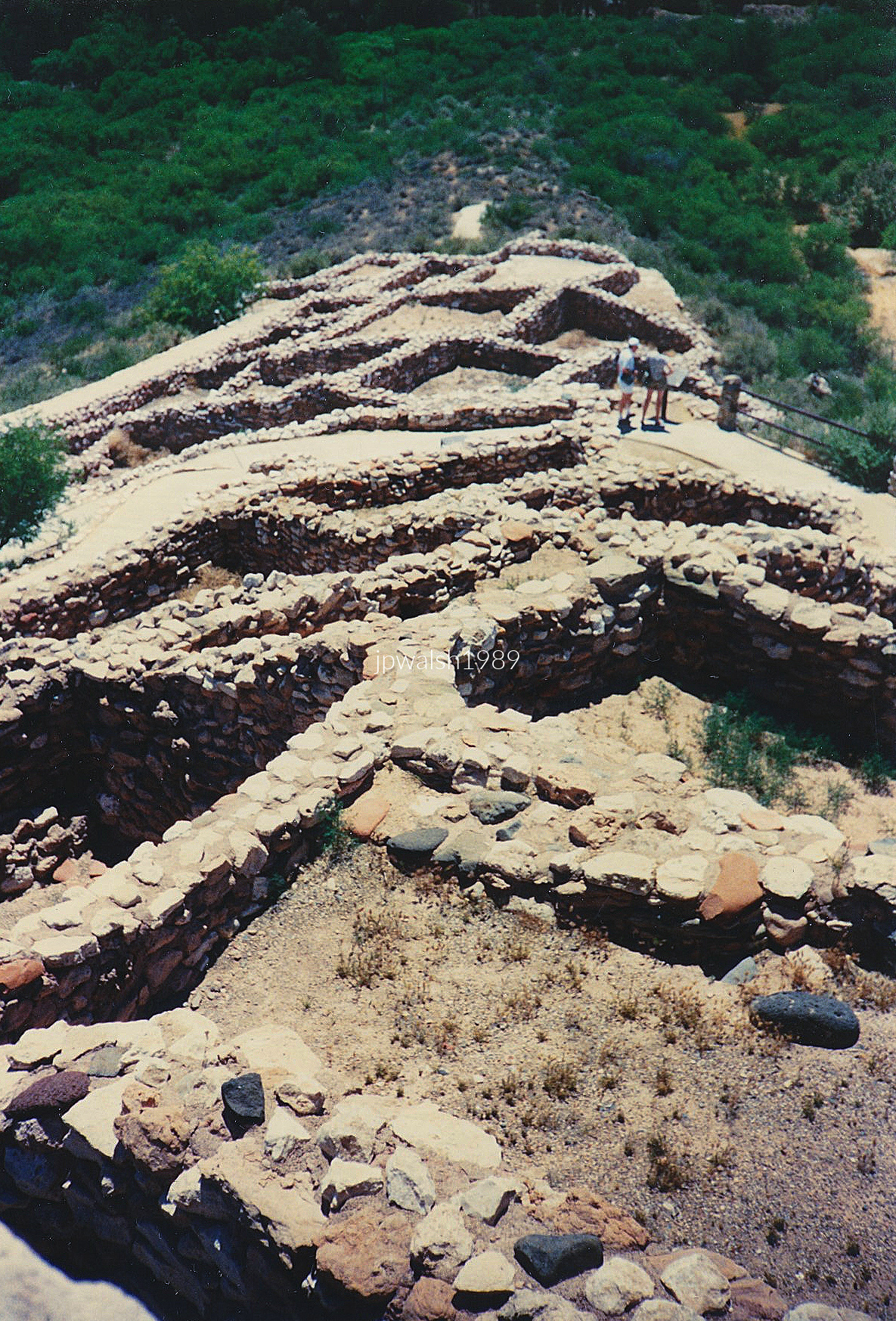
May 1989 — Tuzigoot National Monument, Yavapai County, Arizona. Tuzigoot—Apache for “crooked creek”—is a 1,000‑year‑old, 110‑room pueblo that once housed roughly 200 Sinagua people. “If a person wants to build a house on a hill,” a park ranger remarked, “it’ll be on a hill.” From its summit, the complex commands a full 360‑degree view of the Camp Verde Valley. The Sinagua built on high ground for protection, better climate—breezier and about ten degrees cooler in summer, warmer in winter—and to oversee and manage the fertile farmland below. President Franklin Roosevelt designated Tuzigoot Ruins a U.S. National Monument on July 25, 1939.
Tohono O’odham Nation (Tucson, Arizona) — San Xavier del Bac Mission (October 1988):

October 1988 — San Xavier del Bac Mission — Tucson, Arizona. White‑washed domes and bell towers gleam against a deep blue desert sky, framed by cacti and a low stone wall. The mission rises solitary and luminous in the Sonoran landscape, its bright stucco catching the afternoon light like a beacon — the White Dove of the Desert in full sun.
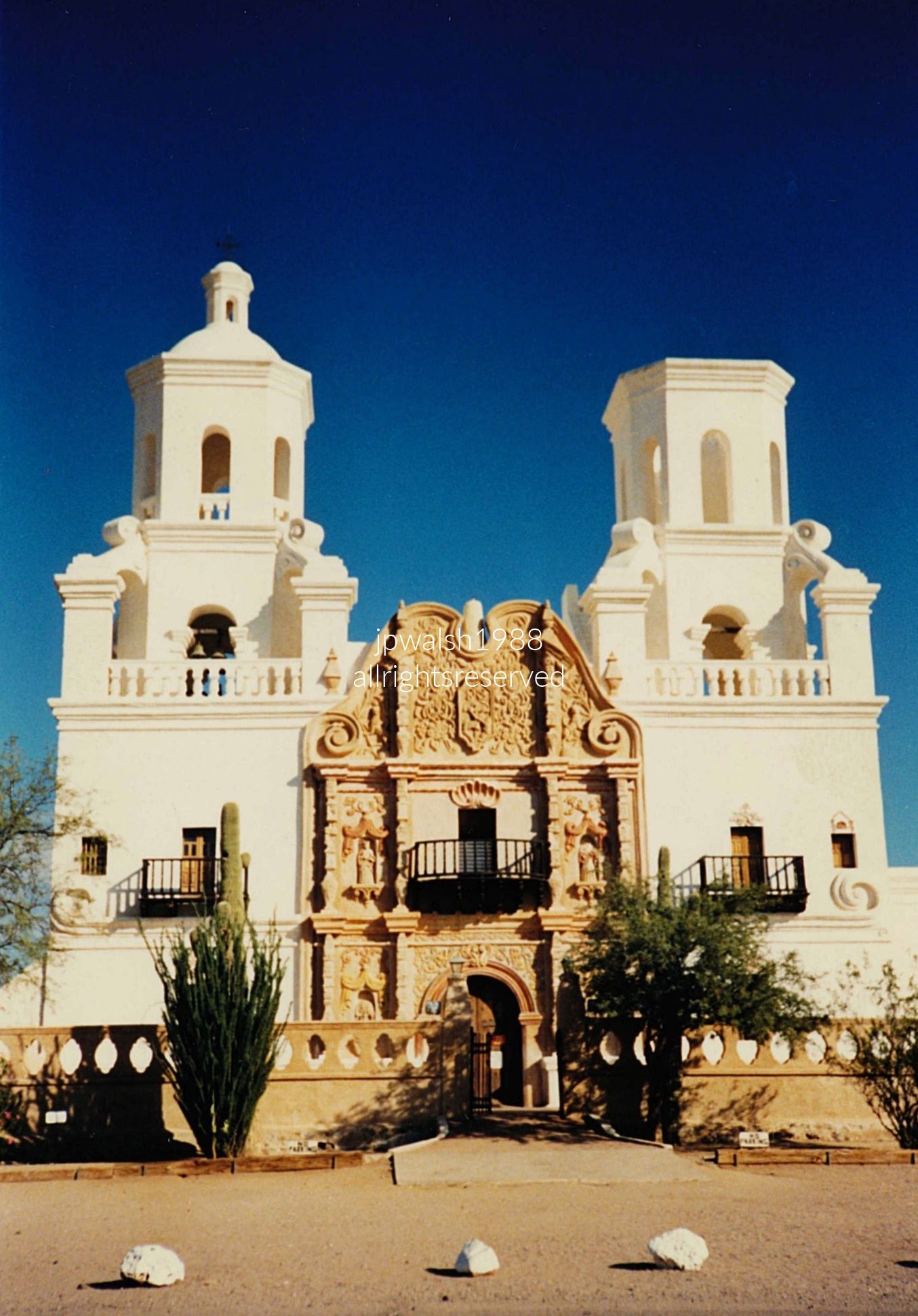
Located about nine miles south of downtown Tucson, San Xavier del Bac is a National Historic Landmark situated within the San Xavier District of the sovereign Tohono O’odham Nation.
Founding & Early History
The mission was founded in 1692 by Jesuit missionary Father Eusebio Francisco Kino. After the Spanish Crown forcibly arrested and expelled the Jesuit Order from all Spanish territories in 1767, responsibility for the mission passed to the Franciscans.
Construction of the Present Church – “White Dove of Desert.”
The iconic white‑domed church standing today was built by Franciscan Fathers Juan Bautista Velderrain and Juan Bautista Llorens, with construction labor provided by local Tohono O’odham villagers. Work on the current Spanish Baroque structure began in 1783 and was completed in 1797. Its striking white stucco exterior earned it the enduring nickname “White Dove of the Desert.”
Interior & Significance
The interior is renowned for its vivid frescoes, carved wooden statues, and gold‑leaf retablos. San Xavier del Bac is the oldest intact European structure in Arizona and continues to serve its original purpose as an active parish.
Arizona — original Zane Grey Cabin, near Payson (May 1989):
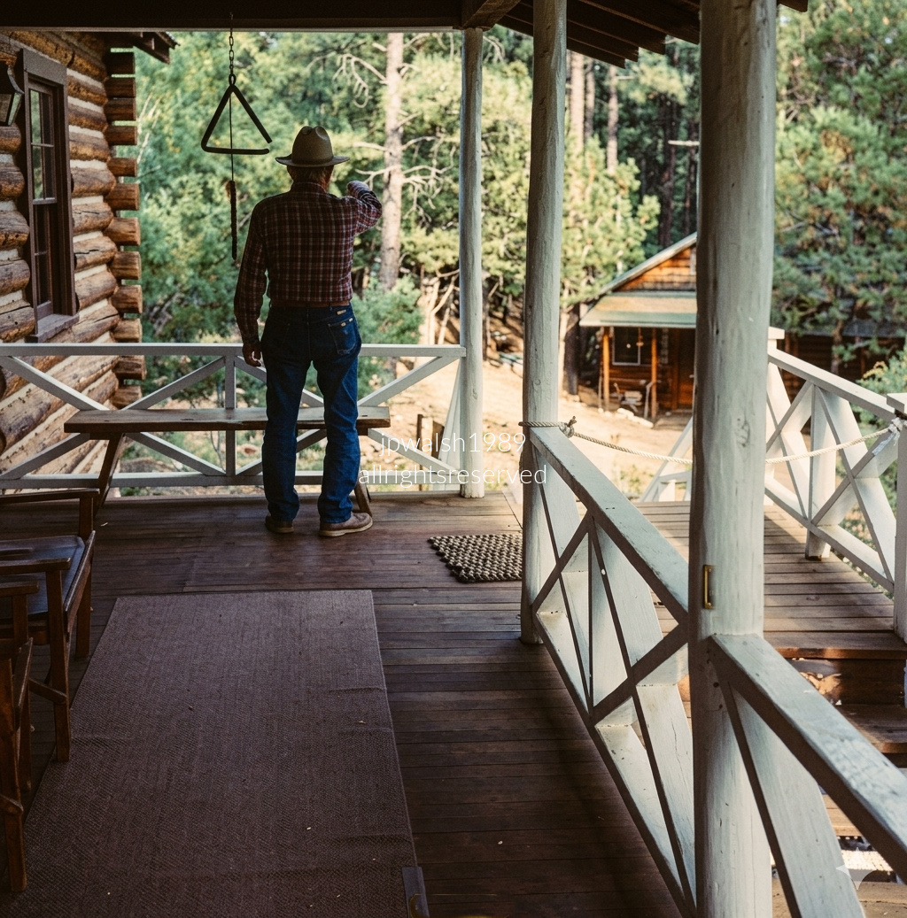
May 1989 —On the porch of the original Zane Grey cabin. The author bought three acres of land and had his famous hunting cabin constructed in 1921. Grey used this cabin to write some of his most famous Western novels, including Under the Tonto Rim, Code of the West, and To the Last Man. In 1929, Grey permanently abandoned the cabin. Zane Grey’s imagery in his stories was so cinematic that Hollywood adapted his stories into 112 different films and fundamentally shaped how the world viewed the American frontier. His work paved a direct path for later creators like Louis L’Amour and film director John Ford.
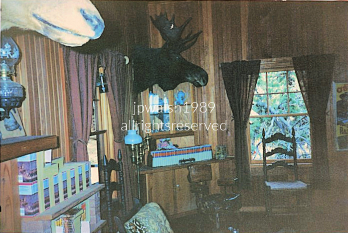
May 1989 — taken in 1989 makes this photo exceptionally rare and valuable. Just one year later, in June 1990, the devastating Dude Fire swept through the Tonto National Forest. The original, historic Zane Grey cabin shown right here was completely destroyed in that fire.

Zane Grey, taken in 1925. Public Domain.
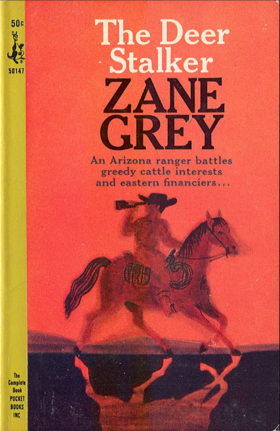
Published in 1925, The Deer Stalker is one of ninety novels written by Zane Grey — sixty of them standalone Westerns. The story follows Thad Eburne, a dedicated forest ranger in Arizona’s rugged Buckskin Forest, locked in a fierce struggle against corrupt cattle interests and Eastern financiers bent on exploiting the land. Alongside that corporate conflict runs Eburne’s valiant effort to save a doomed herd of native deer, a mission complicated by the arrival of a mysterious woman. PHOTO: “The Deer Stalker” by twm1340 is licensed under CC BY-SA 2.0.
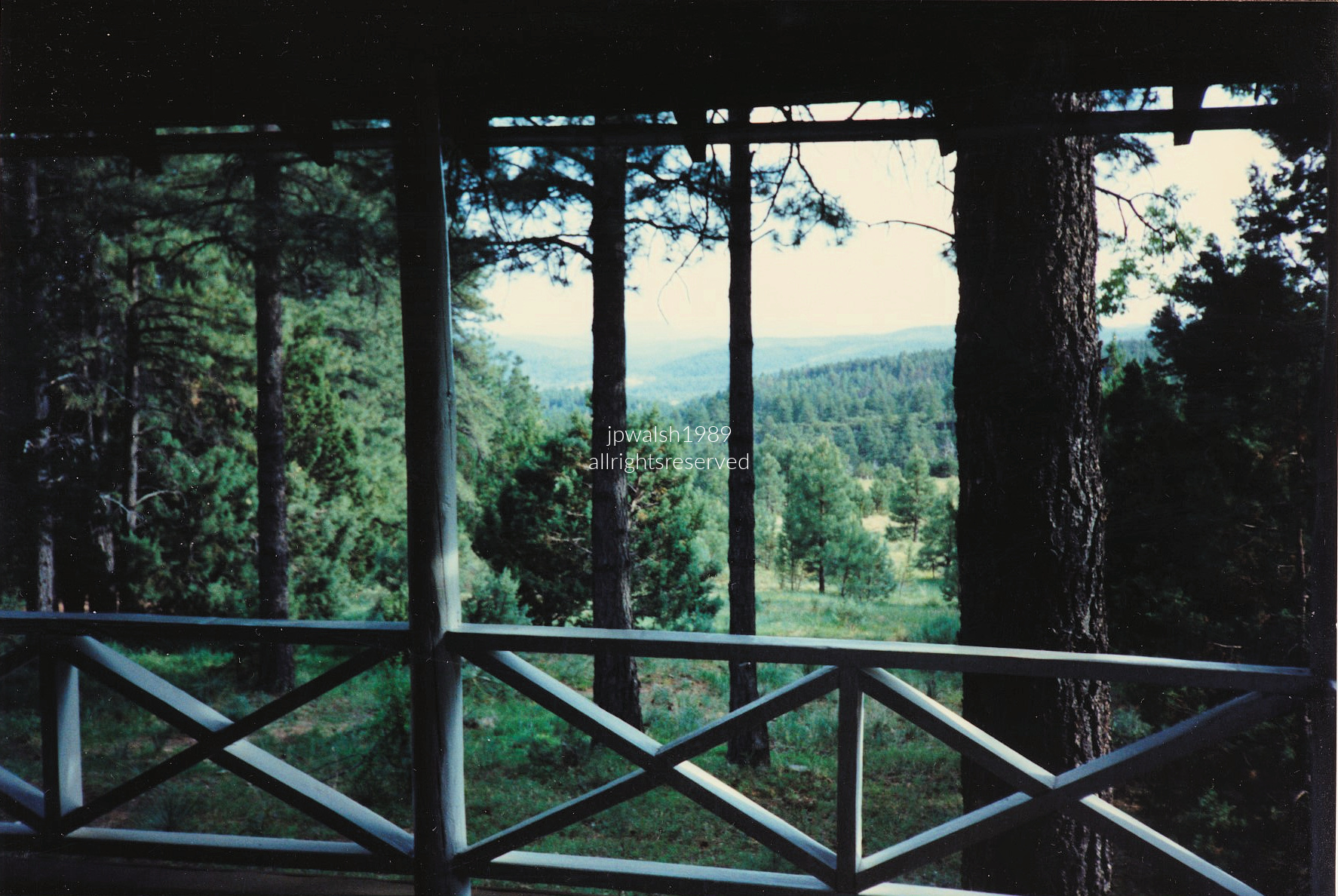
May 1989 — a vital piece of preservation history—capturing the original structure of the Zane Grey cabin, the distinct criss-cross porch railings, and the surrounding Mogollon Rim forest exactly as they were before being lost to history.
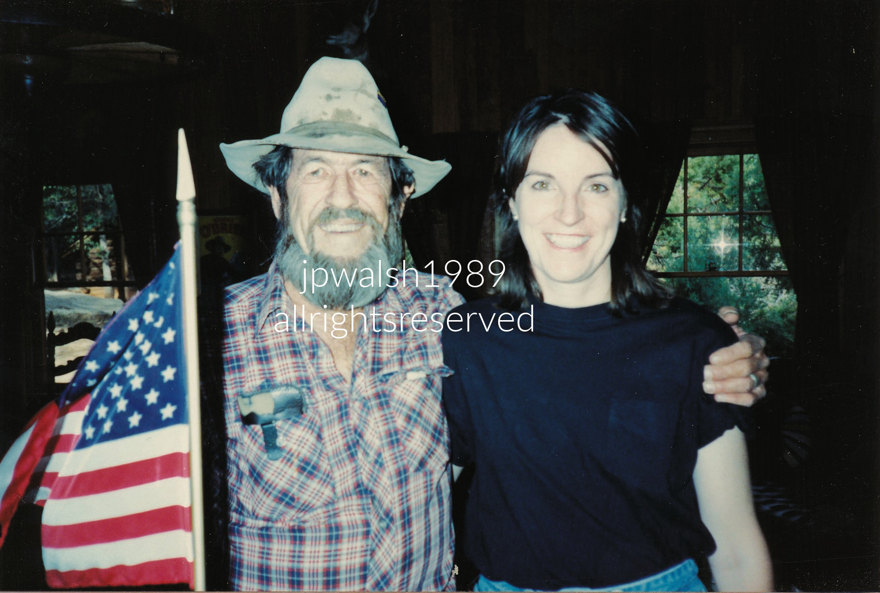
May 1989 — Zane Grey cabin host and Deb. Zane Grey was born in Ohio where his father forced him to study dentistry. In 1907, at 35 years old, the practicing dentist went on a hunting trip to the Grand Canyon. The vast desert landscapes completely transformed Zane Grey, shifting his entire focus toward the American West.

May 1989 — Near the town of Payson, the rugged, forested landscape of the Mogollon Rim in northern Arizona stretches toward thick stands of ponderosa pine and oak, sharp limestone and sandstone cliffs, and steep canyons. This dramatic escarpment marks the southern edge of the Colorado Plateau. In 1921, Zane Grey built his cabin just beneath the rim — a writer’s refuge perched at the meeting point of forest and stone.
California — Sonoma County (June 1987):

June 1987 — Beach houses set along the coastal hills near Jenner, California. Homes here sit high on dramatic cliffs overlooking the rocky shoreline near Goat Rock State Beach. The backdrop features steep, mist‑washed hills and dense evergreen forest rising above the Russian River and the Sonoma coast. The multi‑level structure with weathered wood siding and broad windows blends naturally into the wooded hillside terrain characteristic of the northern Sonoma County shoreline.
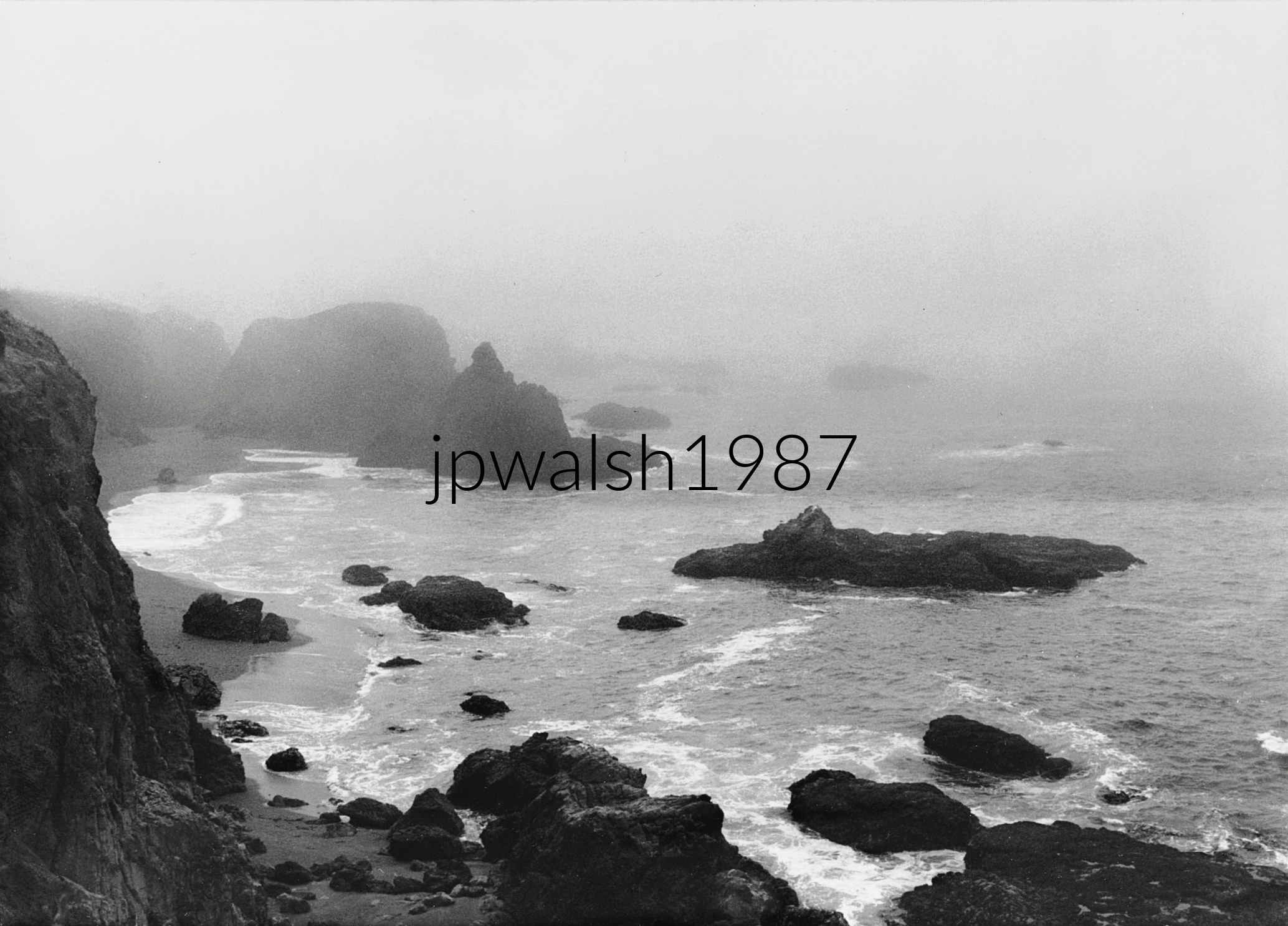
June 1987 — Foggy view of the Sonoma Coastline, near Bodega Bay in California. Rendered in black and white, the landscape features rugged sea stacks and rocky cliffs characteristic of the Northern California coast.
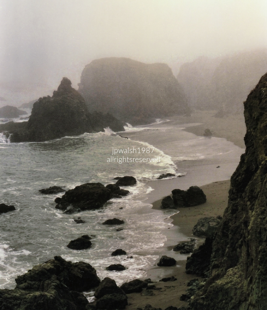
June 1987 — A rocky, fog‑washed stretch of Sonoma Coast State Park, with the muted light and rough surf characteristic of coves like Schoolhouse Beach near Bodega Bay.
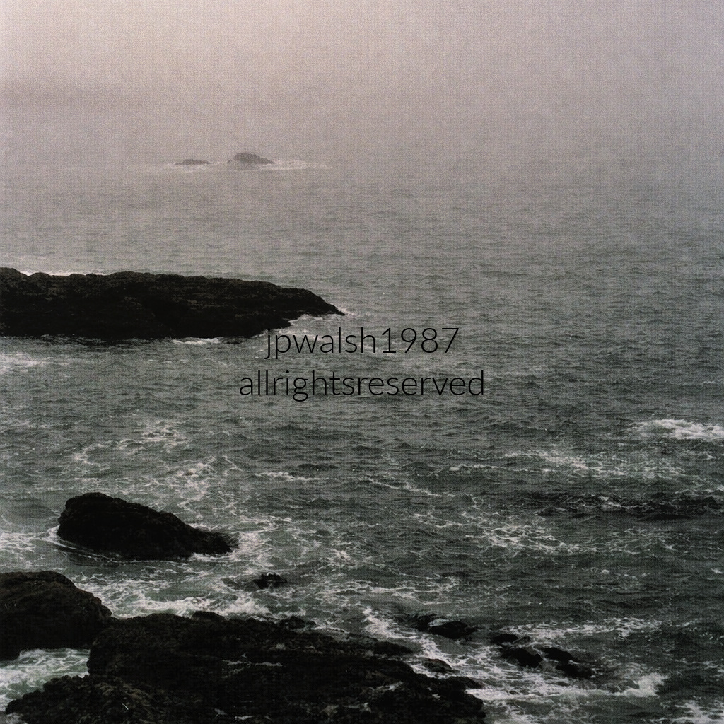
Sonoma Coast State Park.

June 1987 – Arched Rock Beach within Sonoma Coast State Park, north of Bodega Bay in Sonoma County, California.

June 1987 — Plunging, grass‑covered headlands with Highway 1 carved precariously into the hillside—classic vistas of the Sonoma and Marin coasts. This viewpoint mirrors the rugged cliffs south of Russian Gulch and the Jenner headlands, where the road climbs sharply from the lower beaches into tight, winding curves and high bluffs reminiscent of Big Sur. Just north of the Russian River outlet, intense marine layers and morning fog banks funnel inland, catching against the steep Sonoma coastal hills and shaping the region’s dramatic, shifting light.

June 1987 — A small fishing boat glides across the calm harbor at Bodega Bay, moving under a soft, cloud‑broken sky with dunes and marina structures resting quietly along the distant shore.
A coastal town long linked to Hollywood history, Bodega Bay is best known as the setting for Alfred Hitchcock’s The Birds. In the harbor sequence, Melanie Daniels (played by Tippi Hedren) rents a small motorboat and slips across the water to deliver lovebirds to the Brenner house; on her return, a lone gull dives out of the sky and strikes her forehead, marking the film’s first on‑screen bird attack.
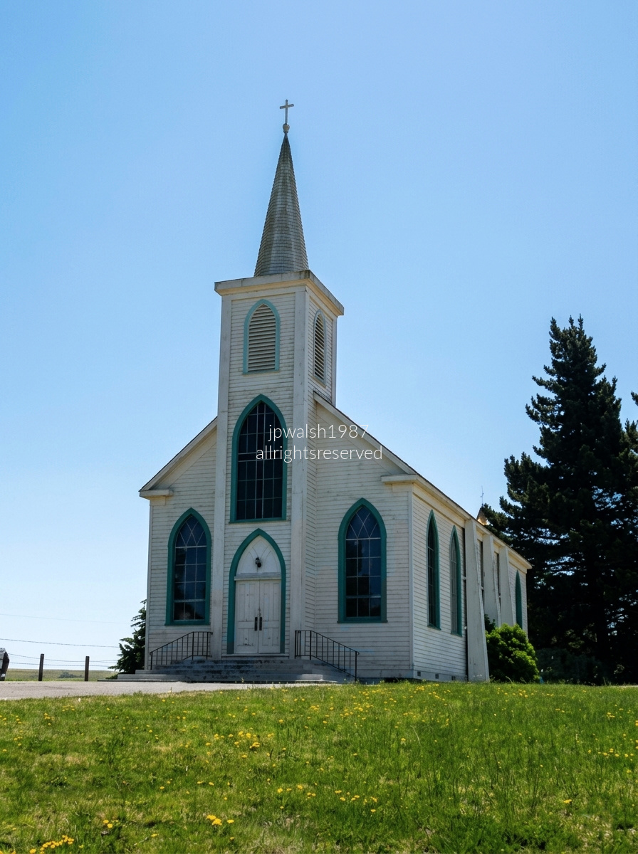
June 1987 — St. Teresa of Avila Church, 17120 Bodega Rd., Bodega, California. A small 1860 church built by shipbuilders on donated hillside land, later photographed in stark black‑and‑white in 1953 by Ansel Adams, gained further fame when Alfred Hitchcock attended Mass there during the filming of The Birds. 93% 7.89mb
The Bodega schoolhouse just behind the church—an active classroom in 1963—served as the backdrop for the film’s iconic schoolhouse sequence, with the church itself appearing briefly on screen. In one of cinema’s most famous moments, Melanie Daniels waits on a bench outside as crows silently gather behind her, eventually covering the entire playground and schoolhouse roof. She alerts Annie Hayworth inside, and to avoid panic they have the children calmly file out and then run toward town. The sudden movement triggers the birds, unleashing a terrifying assault as the children flee down the road.
California — Marin County (June 1987):

June 1987 — A quiet sweep of coastal wetlands marks the delta where Walker Creek meets Tomales Bay, part of the wider Tomales Bay Watershed about 39 miles north of San Francisco. Tidal marshes, estuary channels, and grassy hills shape the landscape, with the distant ridgeline of Point Reyes National Seashore rising softly in the background.

June 1987 — Stinson Beach. A lively California coastal scene: sun‑soft air, salt in the breeze, bright shoreline energy, and that easy rhythm where ocean light, warm sand, and passing crowds move in the same warm pulse. The weathered cedar shingles, wide window banks, and open wooden decking—set on sturdy pilings—are classic features of the beachfront homes built directly on the sand here. Stinson Beach is known for its long, flat stretch of white sand where houses sit right at the surf line.
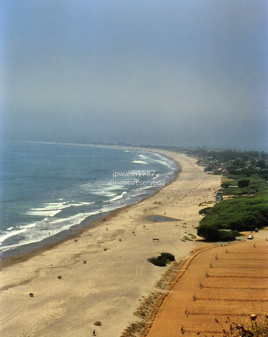
June 1987 — A long Pacific shoreline curves along Stinson Beach in Marin County, a Northern California day‑trip favorite known for beachcombing, hiking, sunbathing, and one of the region’s few swimmable coastal waters. Seen from an overlook on Route 1, the photograph captures a wide aerial sweep of the beach, with a lone lifeguard tower set near the tree line.
Stinson Beach has long doubled as a cinematic backdrop and a countercultural refuge—its shoreline appearing in John Carpenter’s The Fog, Woody Allen’s Play It Again, Sam, and the opening shots of Basic Instinct, even though the famed “Stinson Beach house” was actually filmed in Carmel. A favorite retreat of John Steinbeck, the beach later evolved into a North Bay rock‑and‑roll enclave, with Jerry Garcia owning a home nearby and the sands becoming a legendary hangout for Janis Joplin, Steve Miller, and Pablo Cruise during their charting years.
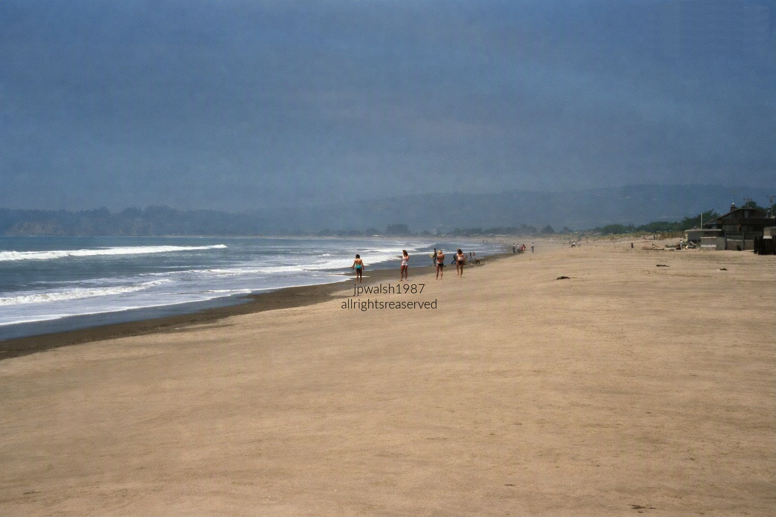
June 1987 — Stinson Beach, California, looking northwest toward the Point Reyes peninsula. Gentle white waves roll in from the Pacific Ocean, leaving a dark, wet sheen on the shoreline. On a wide, expansive stretch of sandy beach a few beachgoers are scattered along the water’s edge while a couple of rustic beach houses sit tucked behind the low sand dunes farther down the beach. The entire background is dominated by the rolling, forested hills of the Northern California coast, which are partially obscured by a thick layer of low-hanging coastal fog and overcast skies, giving the scene a cool, moody tone.
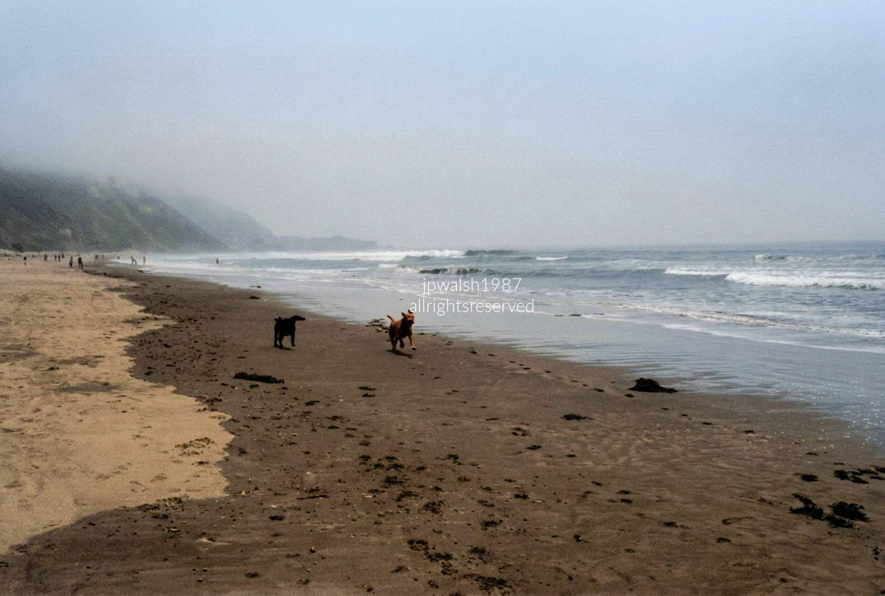
June 1987 — The vantage point looks south along the coast towards Stinson Beach, where the steep, mist‑covered slopes of Mount Tamalpais drop sharply into the Pacific. On this county‑managed stretch known as Upton Beach, dogs are permitted, and it’s common to see them running the sand in this exact area.
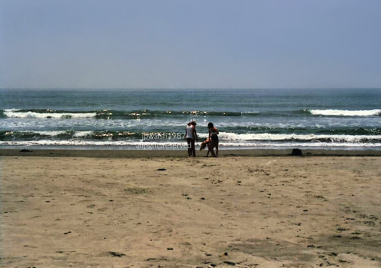
June 1987 — A west‑facing vantage point along the shoreline at Stinson Beach, with the Pacific running out toward the horizon.
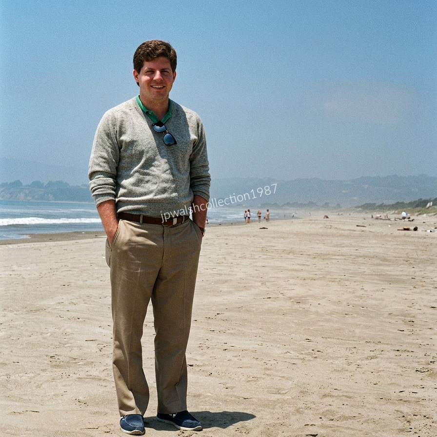
June 1987 — Author-photographer on Stinson Beach in Marin County, looking north along its wide, sandy shoreline. The hazy distance reveals the curving sweep of the Bolinas Peninsula as it fades into the horizon.
California — Montaña de Oro State Park, San Luis Obispo County (September 1994):

September 1994 — two riders move along a sandy trail in Montaña de Oro State Park bordered by low shrubs and yellow blooms, their horses steady against the rolling dunes and distant hills under an overcast sky—a quiet moment of coastal exploration.
Montaña de Oro State Park on California’s Central Coast near Los Osos is one of the state’s most dramatic stretches of shoreline. Its name—Spanish for “Mountain of Gold”—comes from the spring wildflowers that blanket its hillsides. The park spans rugged cliffs, secluded coves, wind‑shaped dunes, and miles of backcountry trails that climb through coastal sage and chaparral. Popular spots include Bluff Trail, Spooner’s Cove, and the high ridges of Valencia Peak. Known for its raw, undeveloped character, Montaña de Oro remains a place where the Pacific, the dunes, and the coastal mountains meet in wide, elemental landscapes.
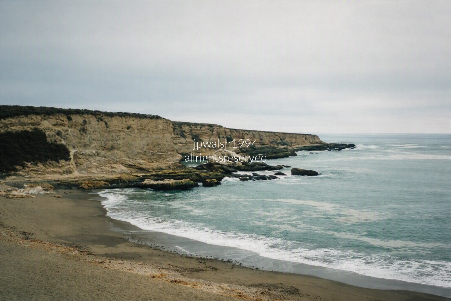
September 1994 — Spooner’s Cove, located within Montaña de Oro State Park. This scenic, rugged beach is famous for its striking sandstone cliffs, sweeping crescent shoreline, and ancient wave-cut rock terraces.
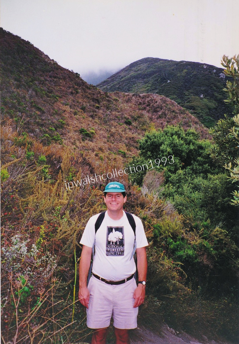
September 1994 — Interior side of the coastal ridges and slopes that form the Irish Hills, located within Montaña de Oro State Park.
California — Lake Cachuma (September 1994):
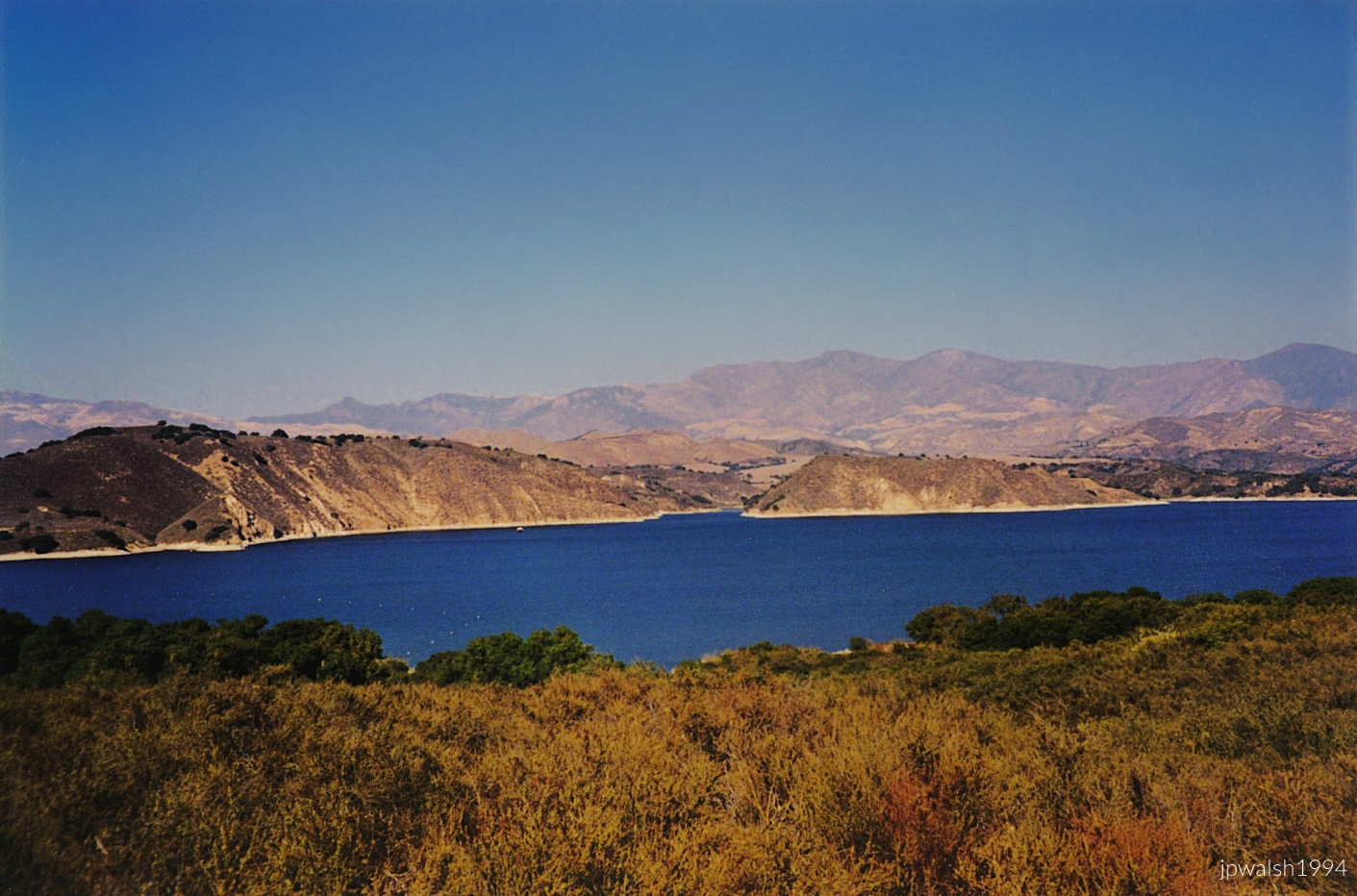
September 1994 — Lake Cachuma, California is an artificial reservoir in the Santa Ynez Valley along State Route 154, created to meet the region’s growing mid‑20th‑century water needs. The dam site was approved in 1947, endorsed by referendum in 1949, built beginning in 1950, and completed by the U.S. Bureau of Reclamation in 1953. Cachuma first spilled in April 1958, with the project ultimately costing more than $43 million. Its distinctive color comes from suspended “glacial flour” that refracts the light. see – https://www.independent.com/2017/11/02/history-lake-cachuma/ – retrieved February 20, 2024.
California — Dana Point (January 1999):

January 1999 — The view looks north along the wide sandy shores of Salt Creek Beach, a premier surfing and recreation spot in south Orange County. The paved pedestrian pathways, landscaping, and public beach structures winding along the bluffs belong to Salt Creek Beach Park. The massive profile of Niguel Head rises in the background, anchoring the northern end of the cove.”
California — Laguna Beach (January 1999):

January 1999 — Tucked tightly into local beach canyons, this area maintains a high concentration of preserved 1920s artist shacks and classic seaside bungalows.
San Diego, California — Cabrillo National Monument (January 1999):

January 1999 in San Diego, California: members of the California Conservation Corps finishing their work day, part of the youth program founded by Gov. Jerry Brown in 1976. A pay‑as‑you‑go agency, the CCC offers outdoor‑focused jobs and provides scholarship opportunities for its corpsmembers.
San Diego, California — San Diego Air & Space Museum, Balboa Park (June 2000):
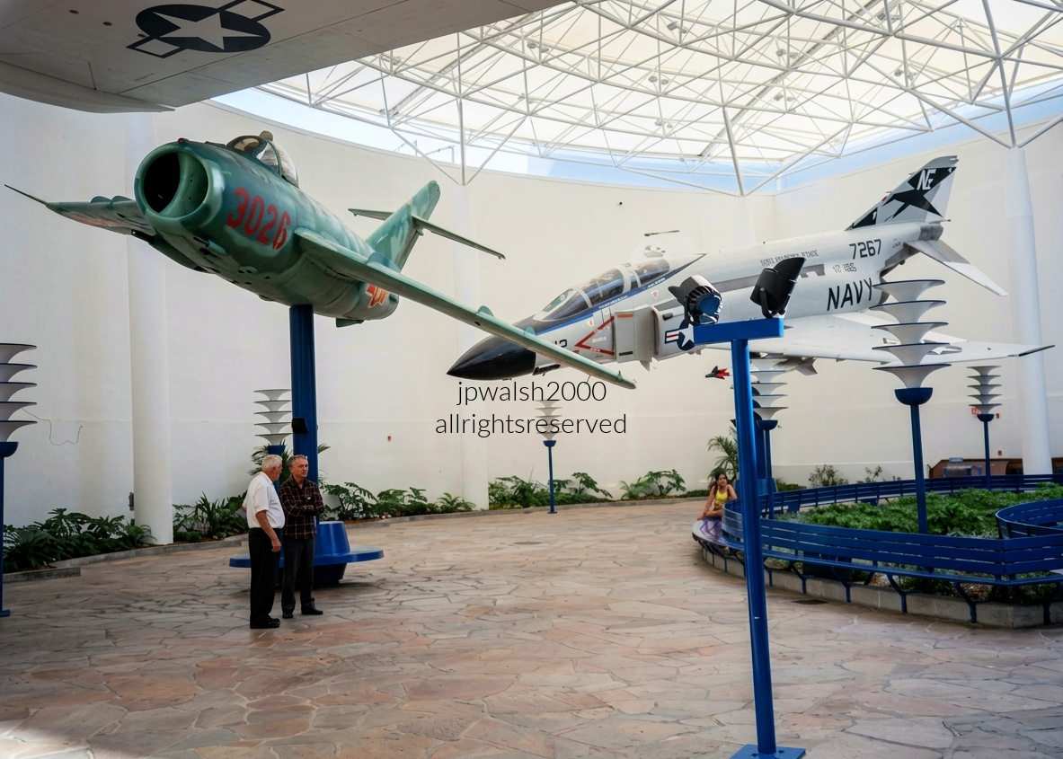
June 2000 — San Diego Air & Space Museum, Balboa Park The Pavilion of Flight presents a dramatic Vietnam‑era dogfight tableau: a MiG‑17 in green North Vietnamese camouflage, nose number 3026, banking against a McDonnell Douglas F‑4 Phantom II in U.S. Navy markings from VF‑96 “Fighting Falcons,” the celebrated Showtime 112 (NG/157267). Suspended above the gallery floor, the two aircraft recreate the visual tension of the air war over Southeast Asia.
In June 2000, the institution—still operating under its historical name, the San Diego Aerospace Museum—marked the 20th anniversary of its reopening in the restored Ford Building. The milestone carried particular weight: the museum’s original collection had been destroyed in the 1978 arson fire, making the 2000 anniversary a community celebration of two decades of recovery, rebuilding, and renewed stewardship of aviation history.
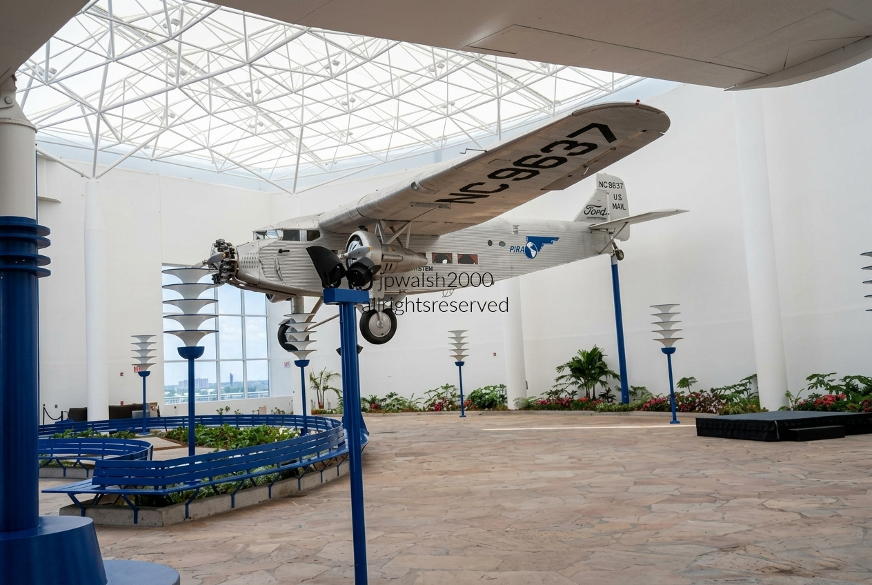
June 2000 — San Diego Air & Space Museum, Balboa Park — Ford Tri‑Motor The aircraft shown is a 1929 Ford 5‑AT‑B Tri‑Motor, the all‑metal “Tin Goose,” restored in the historic Pan American Airways System livery. Registered NC9637 (Serial No. 5‑AT‑11), it was delivered to Pan Am in December 1928—the first Tri‑Motor the airline ever purchased. As one of the earliest commercial airliners built entirely of metal, the Tri‑Motor helped convince the public that passenger flight could be safe, reliable, and routine.
The museum’s pavilion features its distinctive circular plan and lattice glass dome, a structure originally built by the Ford Motor Company for the 1935–36 California Pacific International Exposition. The restored Tri‑Motor sits beneath that historic dome, linking early commercial aviation to one of Balboa Park’s landmark architectural survivors.
San Diego, California — Torrey Pines State Reserve (January 2000):
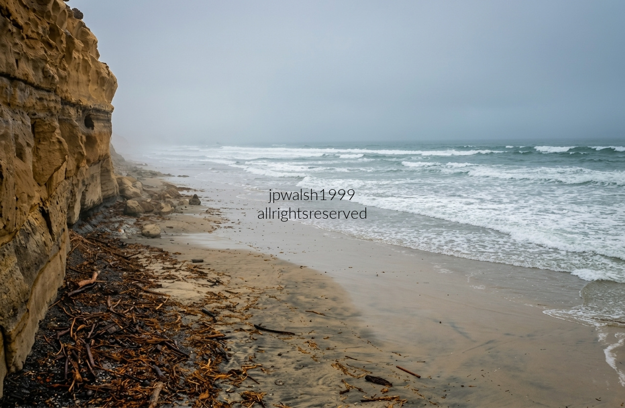
January 1999 — Fractured yellow‑tan sandstone cliffs dropping onto a narrow beach scattered with dark cobbles and driftwood at Torrey Pines State Natural Reserve near San Diego, California. The 45‑million‑year‑old ancient sand dunes that solidified into cliffs are composed of Delmar Formation sandstone at the base and Torrey Sandstone above, eroding into jagged, blocky patterns under the combined stress of Pacific surf and coastal fog.
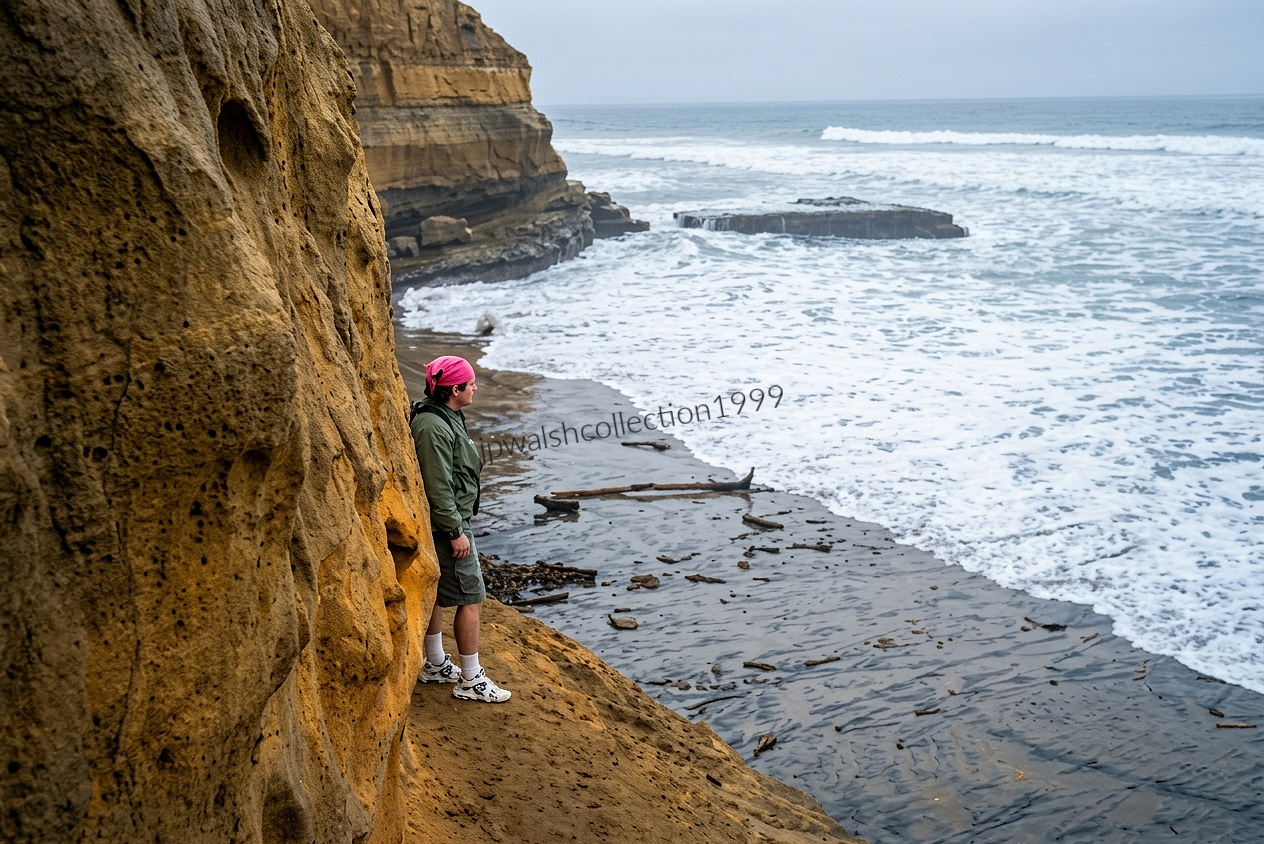
January 1999 — Me at the towering, weathered sandstone cliffs that anchor the left side of the frame, showing distinct horizontal stratification and pockmarked erosion patterns characteristic of the local Delmar Formation and Torrey Sandstone. Below, the rocky shoreline features dark, flat reef shelves and scattered driftwood. In the midground, white seafoam from breaking waves rolls across the dark shallow water toward the base of the cliffs. A large rectangular rock outcropping sits isolated just offshore in the breaking surf — the iconic Flat Rock, a landmark along the Flat Rock Beach Trail that visitors can hike to and explore during low tide.
San Diego, California — Sunset Cliffs Natural Park (October 2000):
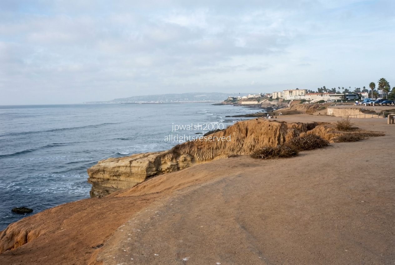
October 2000 — Sunset Cliffs Natural Park, in its northern reach, looks toward Ocean Beach, the Mission Bay jetty, and the distant La Jolla hills. Rough dirt paths and weather‑cut sandstone bluffs run beside Sunset Cliffs Boulevard just south of Adair Street. The stacked terraces belong to the Point Loma Formation, a Late Cretaceous unit laid down about 75 million years ago and now exposed as sheer, eroding coastal cliffs shaped by wind and surf. The overlook remains one of San Diego’s most iconic vantage points—an everyday overlook with a wild, elemental feel.
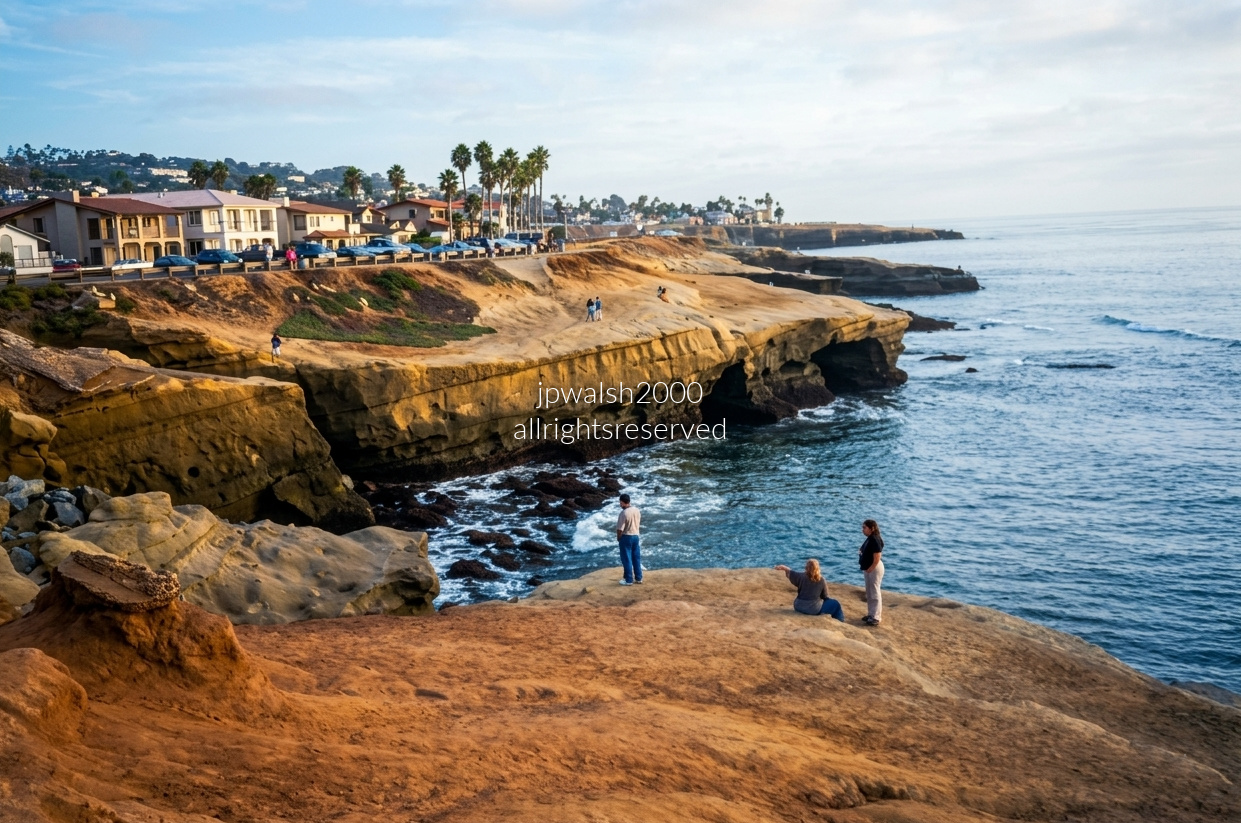
October 2000 — Sunset Cliffs Natural Park, a 68‑acre coastal preserve dedicated in 1983, runs for 1.5 miles along Point Loma’s western edge. The bluffs—layered sandstone over harder siltstone—form alcoves, overhangs, and horizontal shelves where visitors gather. The southern section looks south‑southwest across wave‑cut terraces and the Pacific rolling against the base of the cliffs. Above the bluffs, a tight line of coastal homes and mid‑century apartments defines the neighborhood edge, bordered by tall Mexican Fan Palms. Broad dirt and sandstone platforms in the foreground—flat, wind‑scoured lookout points—remain some of the park’s most popular spots for ocean watching and sunset viewing.
California — Richard Nixon Presidential Library and Museum, Yorba Linda (June 1994):

June 1994 — Richard Nixon Presidential Library and Museum, Yorba Linda, California. see- https://www.nixonlibrary.gov/ – retrieved February 21, 2024.
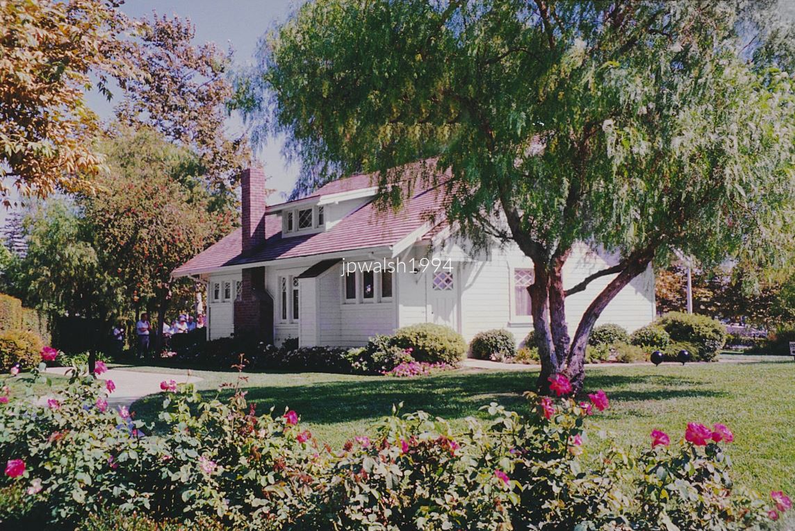
June 1994 — Richard Nixon’s birthplace on the grounds of the presidential library in Yorba Linda, California. Frank and Hannah Nixon built this small farmhouse in 1912 on their citrus orchard. The future 37th president was born here on January 9, 1913, and lived in the house until age nine.
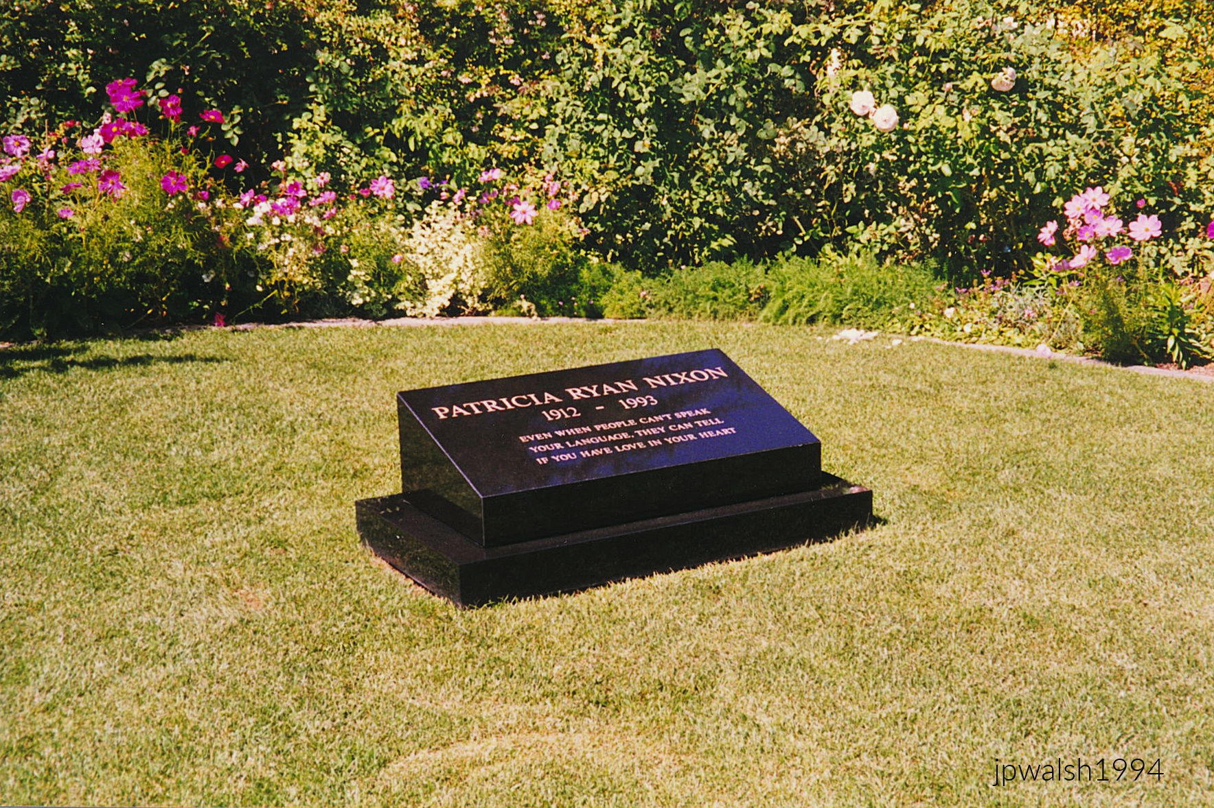
June 1994 — Gravesite of “Pat” Nixon, First Lady of the U.S. Nixon Presidential Library, Yorba Linda, Calif.

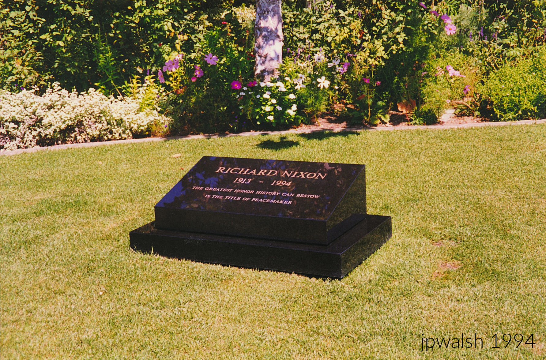
June 1994 — Gravesite of Richard Milhous Nixon. Nixon had died at age 81 less than two months before this photograph was taken. At his funeral here at the library on April 27, 1994, five U.S. presidents and their wives attended: Presidents Clinton, George H. W. Bush, Reagan, Carter, and Ford.
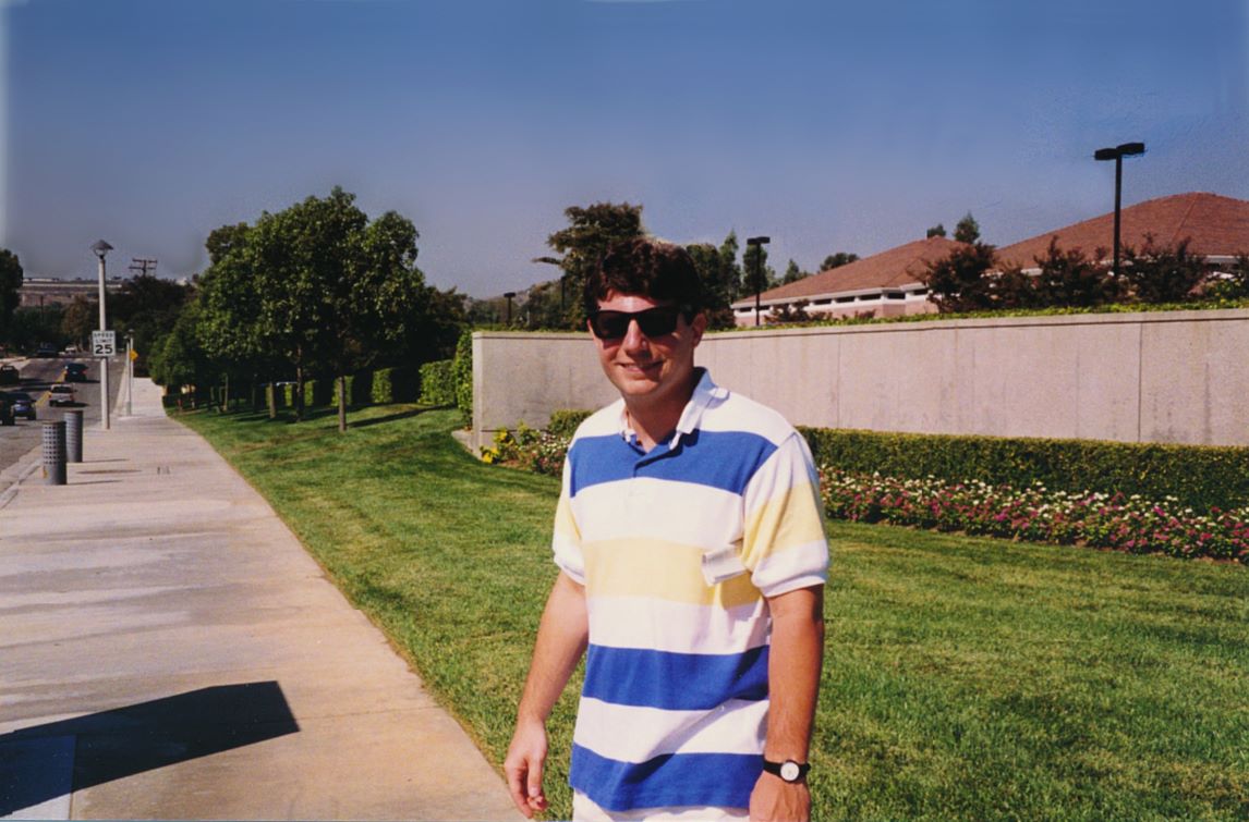
June 1994 —At the Nixon Library, Yorba Linda, Calif.
California — Haight-Ashbury, San Francisco (June 1992):
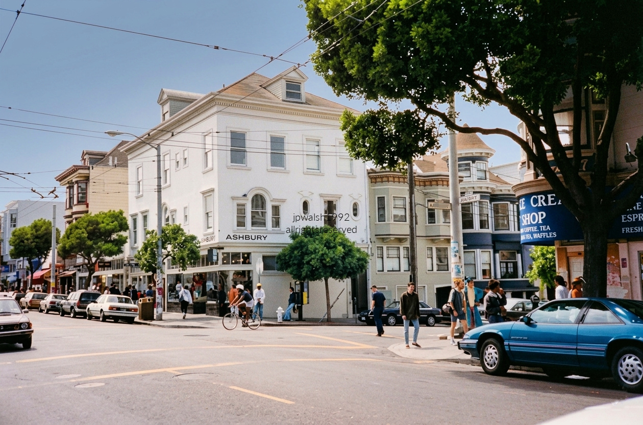
June 1992 found Haight‑Ashbury in a vivid cultural handoff—its 1960s identity still unmistakable, even as the neighborhood moved into the emerging alternative, grunge, and rave eras. The defining event of that exact month was the 14th Annual Haight‑Ashbury Street Fair, which turned Haight Street into a full‑length block party on Sunday, June 7. The festival’s main draw was a headline set by the newly rebuilt Jefferson Starship, whose psychedelic lineage tied the day directly back to the neighborhood’s origins.
The community at the time was shaped by a severe early‑1990s recession, a noticeable influx of younger alternative crowds following the collapse of the 1980s skinhead subculture, and the daily presence of familiar local anchors—among them the original‑design Haight Street McDonald’s and the independent record stores that defined the block’s rhythm.
The large white structure centered in the frame is the landmark Doolan‑Larson Residence and Storefronts at the northwest corner of Haight and Ashbury, its lower façade marked with the painted ASHBURY lettering. This corner remains the universally recognized epicenter of the 1960s countercultural movement. To the right, the blue storefront housed a neighborhood ice‑cream shop—later the well‑known Ben & Jerry’s location.
California — Alcatraz Island, San Francisco (June 1992):
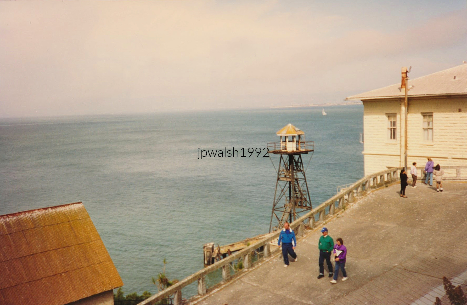
June 1992 — Alcatraz Island. The rocky outcrop measures roughly 1,700 feet by 590 feet, covering 12 acres and rising 135 feet above the bay, with sheer drops of up to 75 feet. Alcatraz Federal Penitentiary operated from 1934 to 1963, housing some of the nation’s most notorious hard‑core bank robbers and murderers.
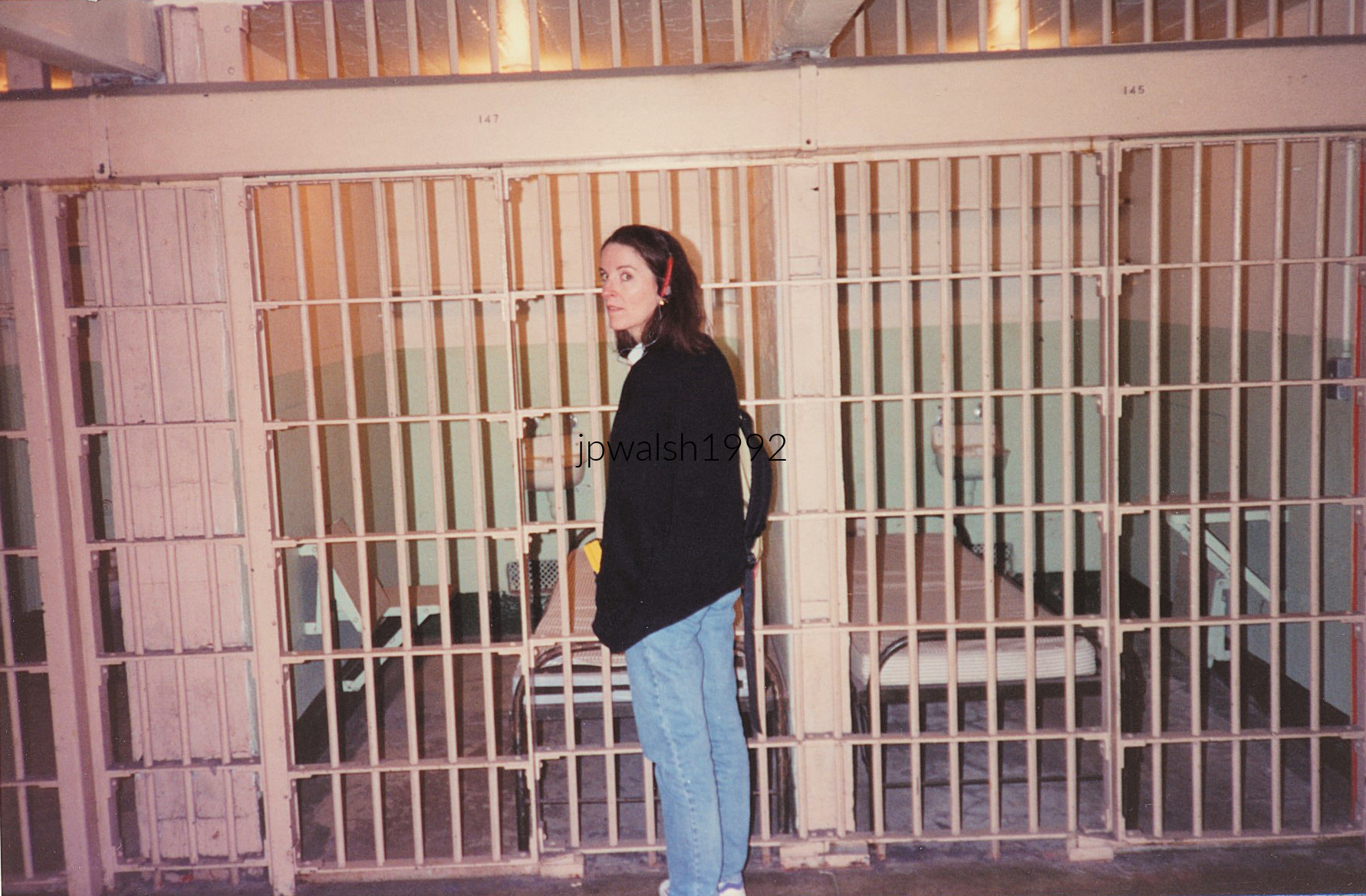
June 1992 — Alcatraz Island. Cells of Byron W. Warren (145) and Andrew Ballew (147). see – https://www.archives.gov/san-francisco/finding-aids/alcatraz-alpha – retrieved May 6, 2025.
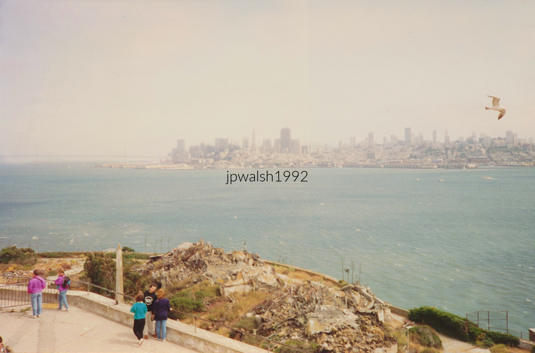
June 1992 — Alcatraz Island, sitting just over a mile offshore in San Francisco Bay. Its name, from the Spanish alcatraces, refers to pelicans and gannets that once crowded the rocky outcrop.
Al Capone Convicted of tax evasion, Capone served five years on Alcatraz (1934–1939), becoming one of the prison’s most famous inmates.
“Machine Gun” Kelly George “Machine Gun” Kelly—who married fellow criminal Kathryn Thorne—was convicted of kidnapping and served 17 years on Alcatraz (1934–1951), where inmates nicknamed him “Pop.”
Alvin “Creepy” Karpi The criminal strategist behind the Ma Barker gang, Karpis served 26 years on Alcatraz (1936–1962) for kidnapping. Alongside John Dillinger and “Pretty Boy” Floyd, he was once the FBI’s Public Enemy No. 1.
Robert Franklin Stroud — “The Birdman of Alcatraz.” Stroud, portrayed by Burt Lancaster in the 1962 film, was a convicted murderer who served 17 years on Alcatraz (1942–1959).
Rafael Cancel Miranda A member of the Puerto Rican Nationalist Party, Cancel Miranda participated in the attempted assassination of President Truman and later fired 30 shots inside the U.S. Capitol, wounding five Congressmen. He was imprisoned on Alcatraz.
Morton Sobell A Communist Party USA member, Sobell was convicted of espionage for relaying Manhattan Project information to the Rosenbergs—an allegation he denied. He also served time on Alcatraz.
Mickey Cohen Los Angeles mobster Mickey Cohen was convicted of tax evasion and served two years on Alcatraz (1961–1963), later calling it “a crumbling dungeon.”
Other Notorious Inmates
- Henri Young — convicted of bank robbery and murder.
- Ellsworth “Bumpy” Johnson — Harlem crime figure tied to the heroin trade.
- Frank Morris and Clarence and John Anglin — bank robbers who famously escaped Alcatraz in 1962 and were never found.
California — Mission San Carlos Borromeo del Río Carmelo, 1771, Carmel-by-the-Sea (June 1992):

June 1992 — The Carmel Mission Basilica—formally Mission San Carlos Borromeo del Río Carmelo—was founded on August 24, 1771 by Junípero Serra. It is his final resting place. When Serra died on August 28, 1784, he was buried beneath the sanctuary floor directly before the main altar, exactly as he requested. His body was first placed in a redwood coffin inside the original adobe church that stood on this site.
When his successor, Father Fermín Lasuén, built the grand sandstone basilica in 1797, he constructed it directly over the earlier adobe structure to preserve Serra’s burial location unchanged.
California — Redwood National Park (June 1992):
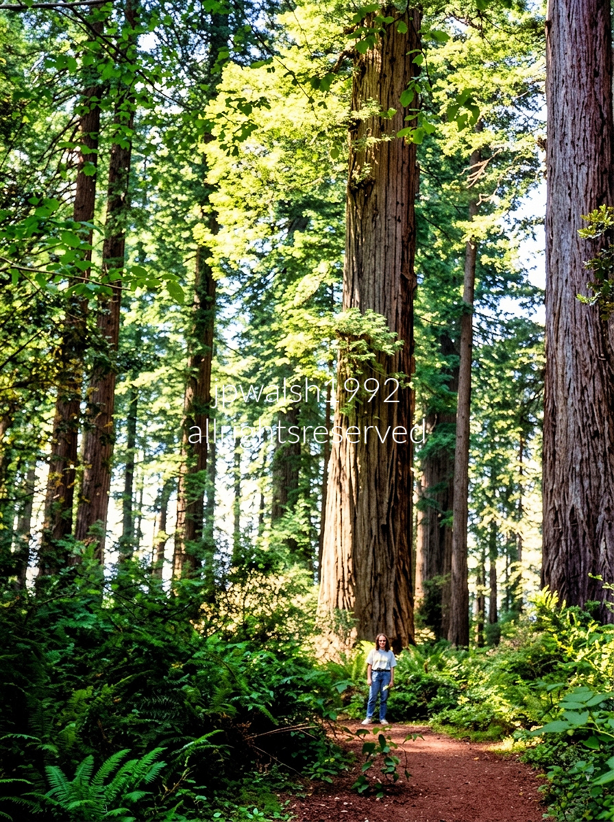
June 1992 — The towering, massive trees are Coast Redwoods (Sequoia sempervirens), the tallest living trees on Earth. The damp forest floor is covered in dense Western Sword Ferns and other shade‑tolerant understory plants that thrive in the constant moisture and coastal fog that define this ecosystem.
Montana — Glacier National Park (June 1994):
Glacier National Park in northwestern Montana is one of the country’s great alpine preserves—a landscape of steep, glacially carved valleys, turquoise lakes, dense conifer forests, and high ridgelines that hold snow well into summer. Established in 1910, the park protects more than a million acres of the northern Rockies and forms part of the larger Waterton‑Glacier International Peace Park shared with Canada. Its ecosystems range from prairie edges to subalpine meadows, supporting grizzly bears, mountain goats, bighorn sheep, and hundreds of plant species. Iconic routes like Going‑to‑the‑Sun Road reveal the park’s dramatic geology, where ancient ice once shaped the peaks and basins that define the region today.
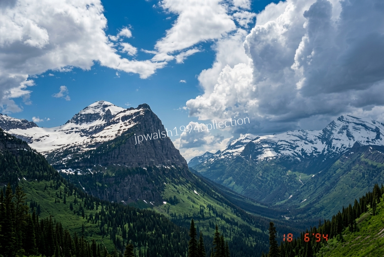
June 1994 — A high, bending stretch of Going‑to‑the‑Sun Road overlooks the deep trough of the Logan Creek Valley, its floor framed by classic glacial architecture. Mount Oberlin rises on the left to 8,180 feet, dropping into the sheer, dark rock face of The Garden Wall arête that defines the valley’s edge. To the right, the rugged, snow‑capped summits of the Livingston Range sweep down into the recesses of the basin, completing one of Glacier National Park’s signature alpine panoramas.
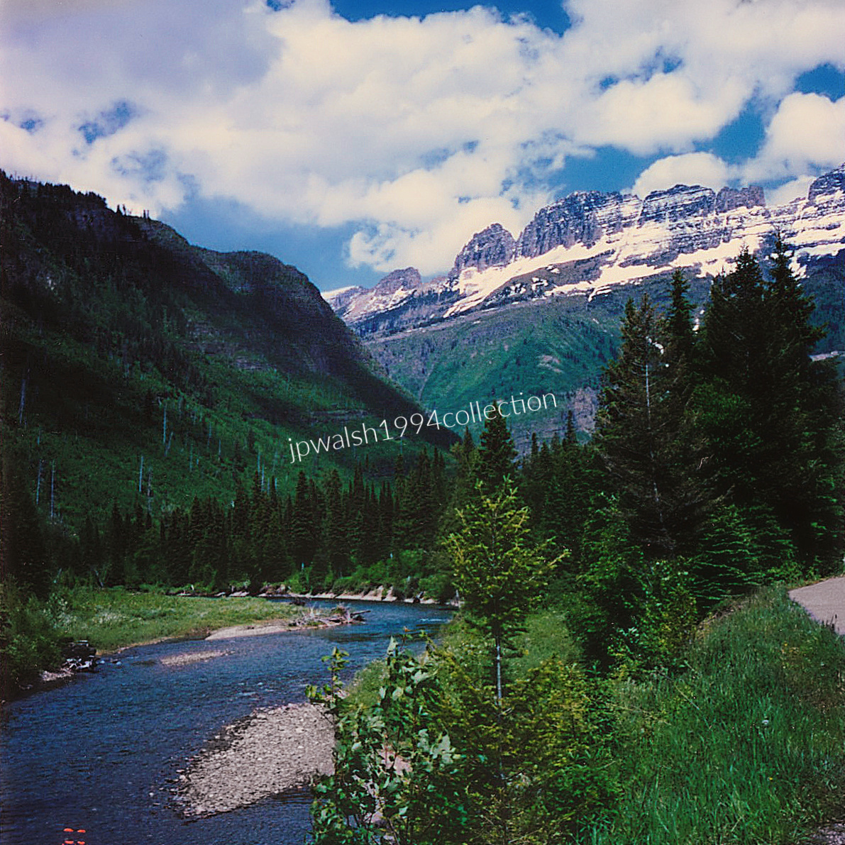
June 1994 — McDonald Creek Valley specifically the upper section of the creek running parallel to the lower stretches of the Going-to-the-Sun Road looking up toward the rugged peaks of the Continental Divide in Glacier National Park, Montana. The snow-dusted, multi-pinnacled ridge of Mount Cannon (8,157 feet), which towers directly over the valley.
Washington — North Cascades Highway (September 1993):

September 1993 — Washington Pass in North Cascades National Park, with Liberty Bell Mountain rising to 7,720 feet (2,353 meters). The North Cascades Highway (State Route 20), Washington’s longest and most dramatic scenic byway, runs 140 miles through the rugged “American Alps,” linking the Skagit and Methow Valleys and passing alpine peaks, ancient forests, and the vivid turquoise waters of Diablo Lake.

September 1993 — Washington Pass above Diablo Lake, Washington: a high, glacier‑carved corridor more than a mile above sea level on the North Cascades Highway. The surrounding valleys drain toward the Columbia River, a route once crossed only by Native Americans, prospectors, trappers, mountaineers, and determined backpackers before the highway opened in 1972. Diablo Lake’s striking turquoise color comes from suspended “glacial flour,” fine rock particles that refract the light and give the water its distinctive hue.

September 1993 — Washington Pass, Pyramid Peak (7182 feet/2189 meters), North Cascades National Park, WA 60%.
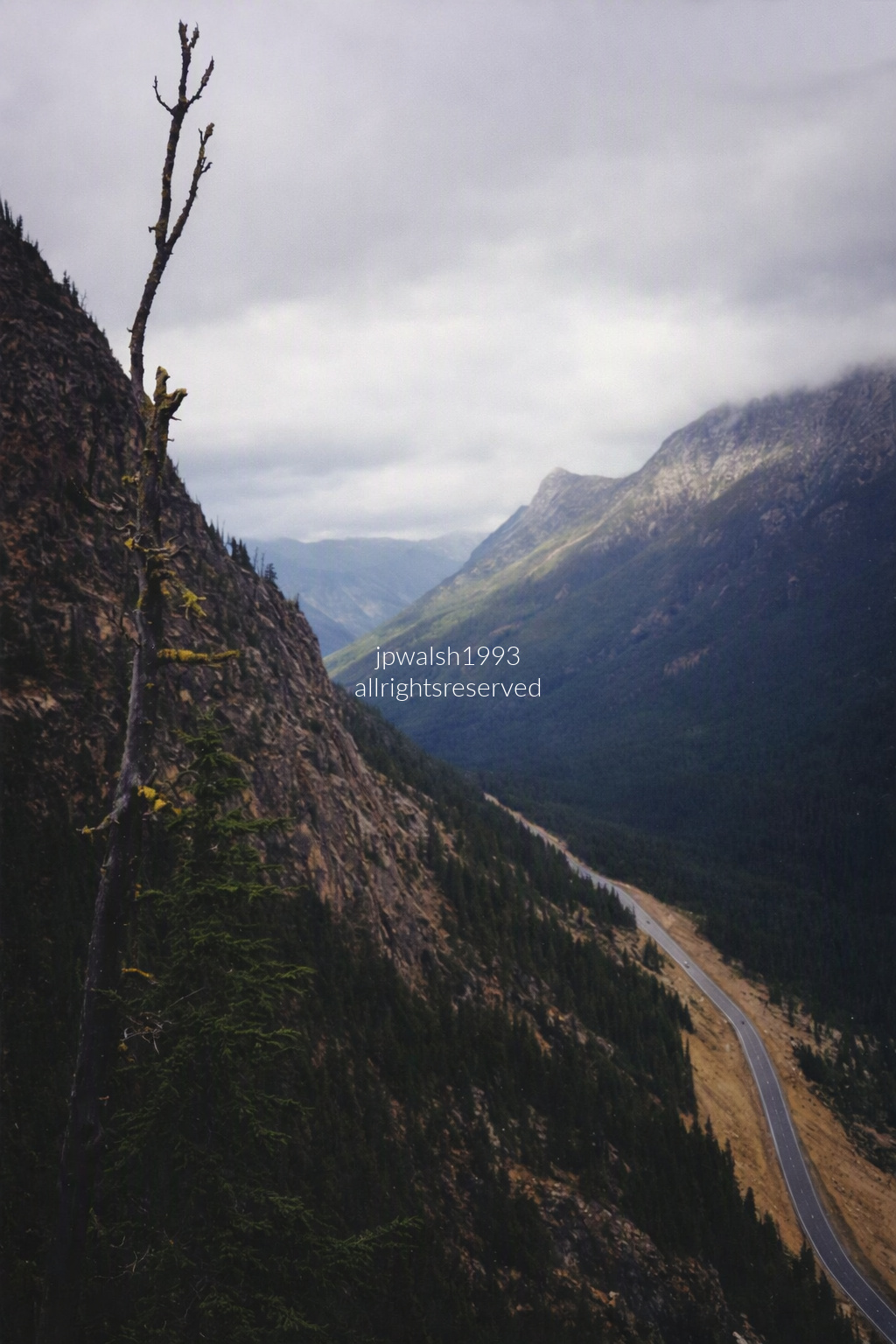
September 1993 — Washington Pass on State Route 20: the North Cascades Highway cutting through high mountain wilderness, part of a 400‑mile route stretching from U.S. 101 on the Olympic Peninsula to the Idaho border.
Washington — Mount Rainier National Park (July 1991):
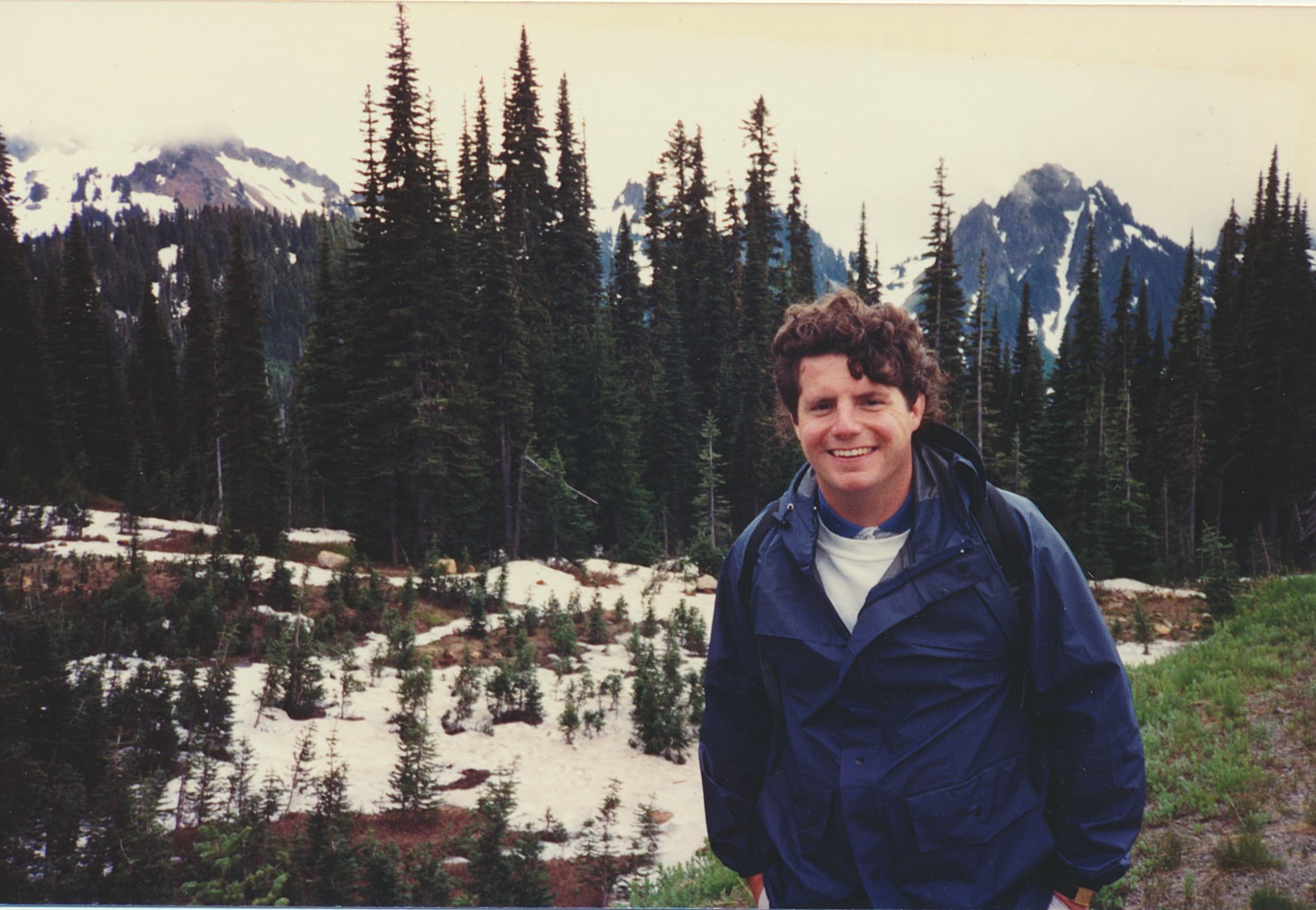
July 1991 — Mt Rainier National Park, WA.

July 13, 1991 — Narada Falls, Mount Rainier National Park, Washington. A 176‑foot cascade on the Paradise River, it sits about 14 miles east of the park’s Nisqually Entrance. The falls drop in two tiers—an upper 159‑foot horsetail plunge and a lower 17‑foot free‑fall—passing directly beneath the historic park road.
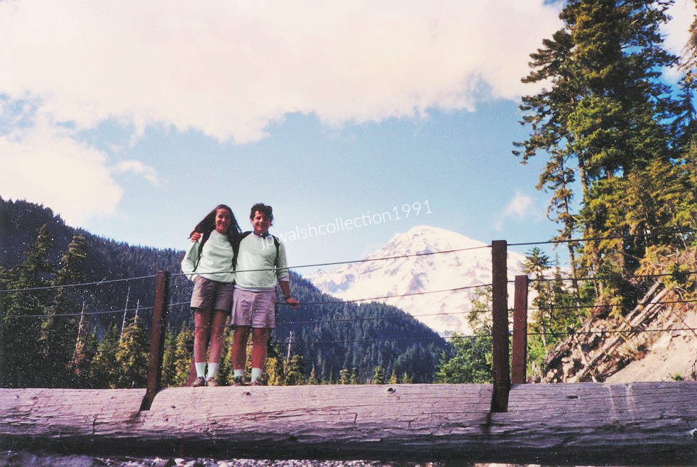
July 1991 — Deb and me standing on a classic Pacific Northwest backcountry log bridge outfitted with a steel tension-cable handrail system over the Nisqually River on the Carter Falls Trail with the towering, snow-capped south face of Mount Rainier rising majestically in the background. To reach the 14,411-foot height of Mount Rainier, you would need to stack slightly more than 5 Burj Khalifas – presently the tallest building in the world in Dubai – on top of each other or over 13 Eiffel Towers.
Every few years, crews fell a single massive, straight fir or cedar log, shave off the bark to reduce rot, flatten the top surface with chainsaws to give hikers a stable walkway, and anchor it into the shoreline rocks using thick steel cables to withstand the raging glacial waters.
Washington — Mount St. Helens (July 1991):

July 1991 — entering the “Restricted Zone” of Mount St. Helens National Volcanic Monument. About eight miles away, the collapsed north face of the mountain looms in the distance over my right shoulder. Between December 1989 and February 14, 1991, Mount St. Helens went through a phase of activity, firing off at least 28 shallow explosions and sending massive ash plumes up to 18,000 feet into the air. Because of these sudden explosions, the U.S. Forest Service continued to restrict the closest zones. Once this eruptive phase completely stopped in early 1991, authorities deemed the area safe and formally re-opened the inner restricted zones to visitors later that summer. see – Explosive tephra emissions of Mount St. Helens, 1989-1991: the violent escape of magmatic gas following storms? | U.S. Geological Survey – retrieved May 18, 2016.
Washington — Okanogan River Region (June 1992):
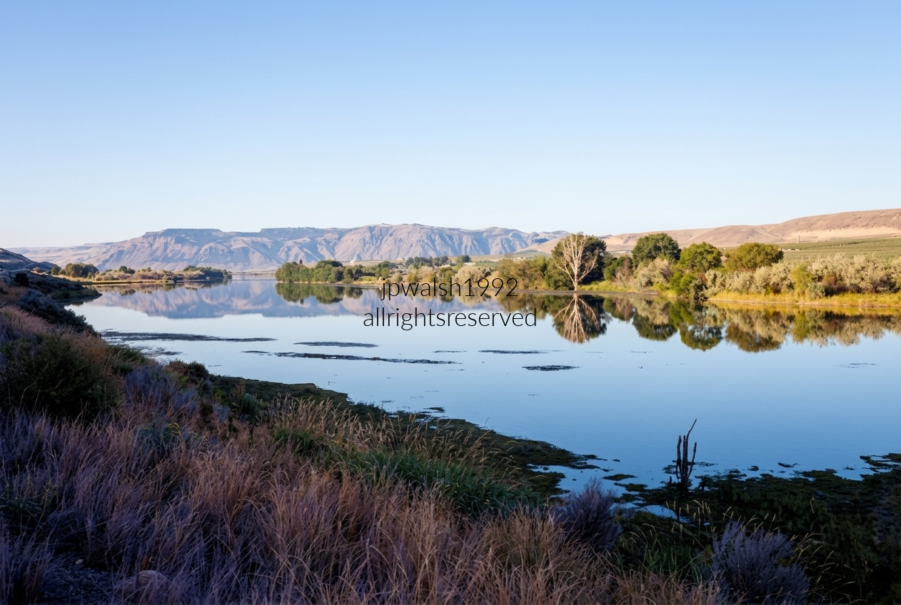
June 1992 — This serene landscape shows the Okanogan River winding through north‑central Washington as it descends the arid valley, reflecting the dry bunchgrass and sagebrush of the high‑desert climate and the basalt bluffs characteristic of the Okanogan region. In the distance rise the flat‑topped, sun‑bleached hills of the Columbia Plateau, part of the unique geological formations that define this country. The scene sits just north of the point where the Okanogan River meets the Columbia River near Brewster and Bridgeport.
Washington — Grand Coulee Dam, located on the Columbia River (August-September 1993):
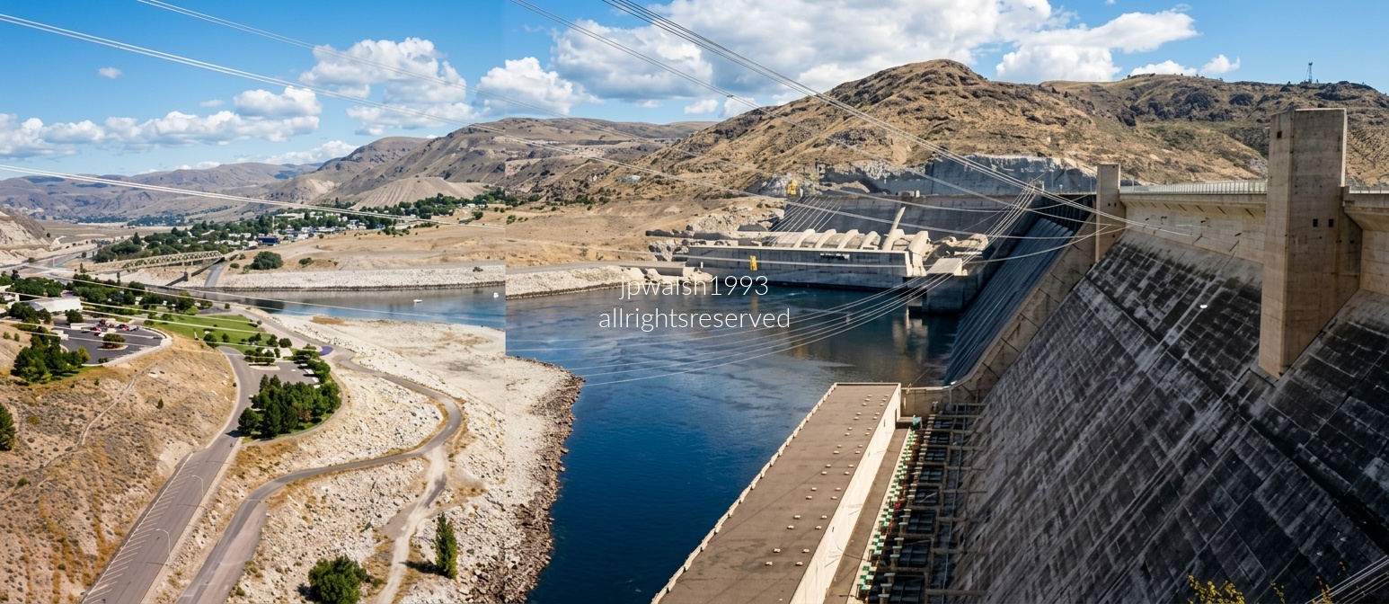
August-September 1992 — Grand Coulee Dam The angled concrete wall on the right is the main overflow spillway, a 550‑foot face built to move enormous volumes of water during high‑flow periods. Just behind it, at center, sits the canal and intake leading to the John W. Keys III Pump‑Generating Plant, which lifts water uphill to feed the Columbia Basin Project’s vast irrigation network. Overhead, the thin lines crossing the sky are high‑voltage transmission cables carrying power from the dam’s generating units into the Pacific Northwest grid.
Washington —Gravesite of Chief Joseph and War Followers, Nez Percé Cemetery, Nespelem, Colville Indian Reservation, Okanogan County (August-September 1993):

August-September 1993 — Gravesite of Chief Joseph, Nez Percé Cemetery, Nespelem, Washington. Chief Joseph’s grave lies in the tribal cemetery at Nespelem, where he spent the final decades of his life after years of forced displacement. In October 1877, with his band exhausted and cornered in northern Montana—just 40 miles from Canada—Joseph surrendered under the belief that his people would be allowed to return to their Idaho homeland. Instead, they were shuttled among forts and reservations across the southern Plains before being relocated to the Colville Reservation in east‑central Washington. Joseph died there in 1904, far from the Wallowa Valley he had fought to preserve.

August-September 1993 — Gravesite of Chief Joseph and war followers. Chief Joseph’s gravesite is in the distance marked by the tall memorial pillar.
Washington — Olympic National Park (July 1991):
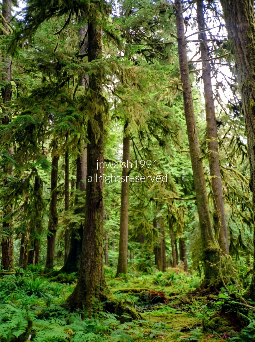
July 1991 — Pristine lowland, old‑growth temperate rainforest in the Sol Duc Valley of Olympic National Park. The towering coniferous canopy is dominated by giant Western Hemlocks, Douglas‑firs, and massive Sitka Spruces, many of them several centuries old. The forest floor is buried under a dense carpet of Western Sword Ferns and thick layers of stair‑step moss, while the trunks are heavily draped in hanging epiphytic mosses and lichens, a result of the valley’s constant moisture and heavy annual rainfall.
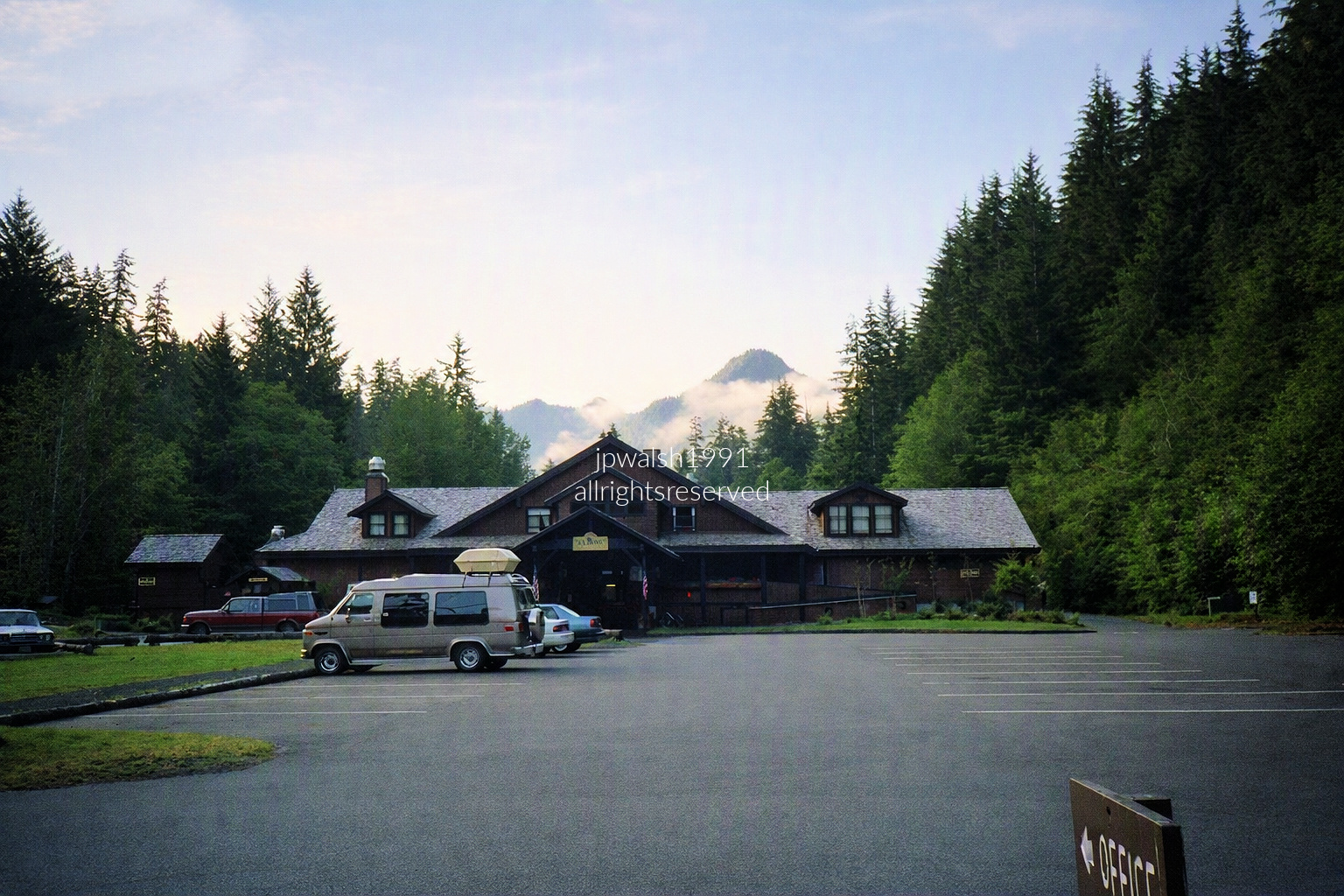
July 1991 — Main lodge at the Sol Duc Hot Springs Resort, set deep in the Sol Duc Valley of Olympic National Park in Washington State.
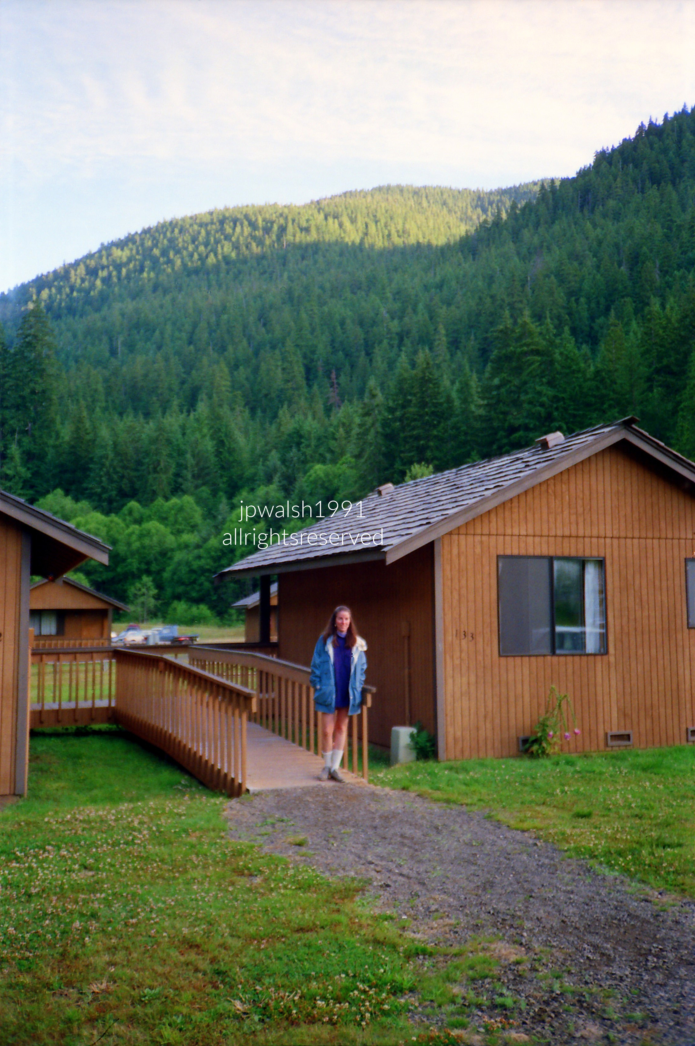
July 1991 — Deb stands near the guest cabins at the Sol Duc Hot Springs Resort inside Olympic National Park. The cabins sit along the meadow loop, a short walk from the main lodge and the mineral soaking pools. Behind is the Sol Duc Valley rising toward the towering green wall of Aurora Ridge.
Oregon — Port Orford (July 1991):
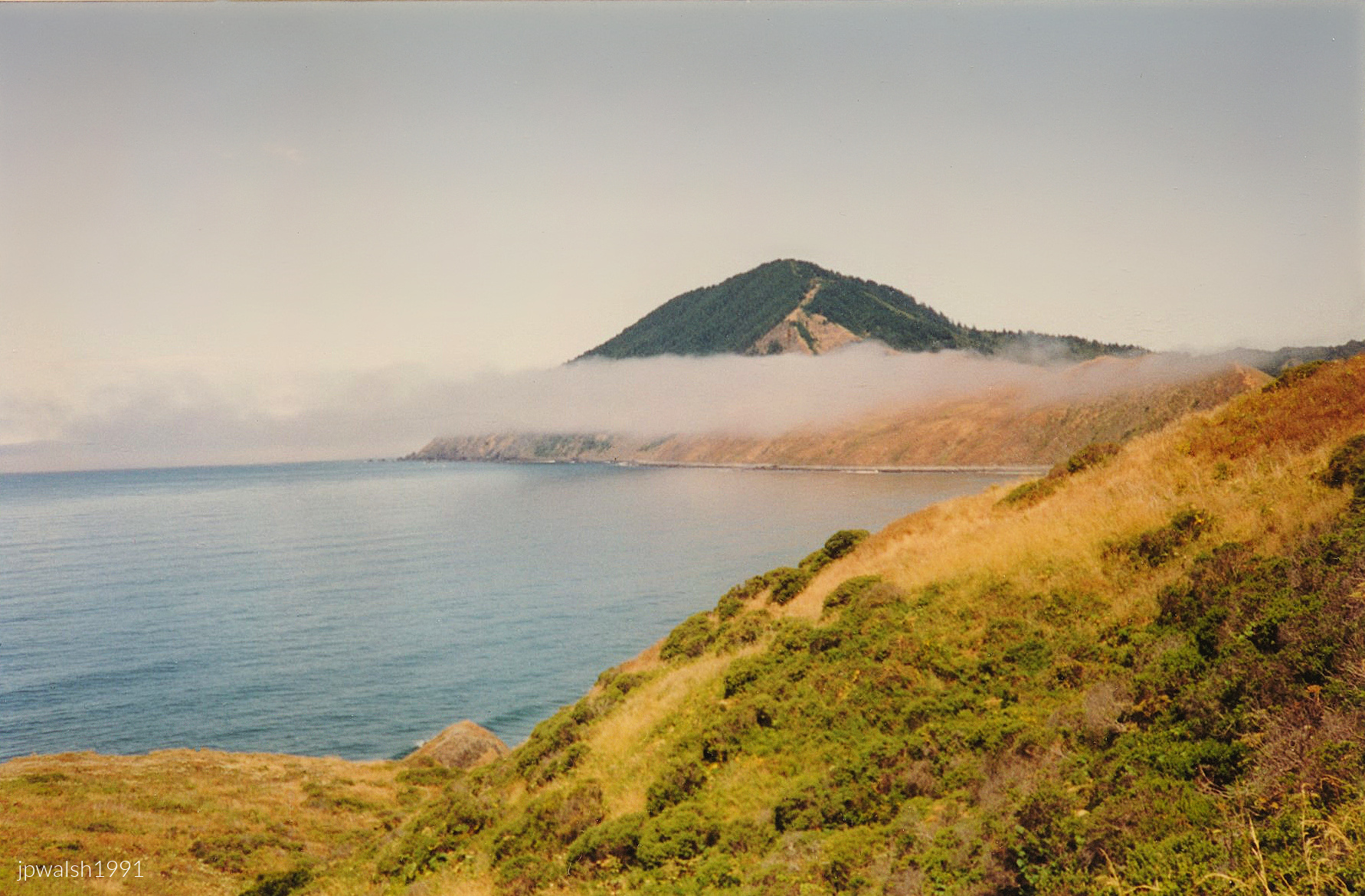
July 1991 — Port Orford, Oregon. Long home of the Kwatami Tututni (Sixes band). In 1543 Spanish navigator Bartolomé Ferrelo mapped Cape Blanco, the northernmost point on European coastal charts until 1778. British Royal Navy captain George Vancouver sighted the coast in 1792 and named it Port Orford. In June 1851 Captain William Tichenor of the Seagull landed here, leaving nine men who established a short‑lived U.S. Army outpost. see- https://ndnhistoryresearch.com/2019/03/16/battle-rock-the-first-colonization-on-the-southern-oregon-coast/ – retrieved February 24, 2024.
Oregon — Samuel H. Boardman State Scenic Corridor near Brookings (June 1992):
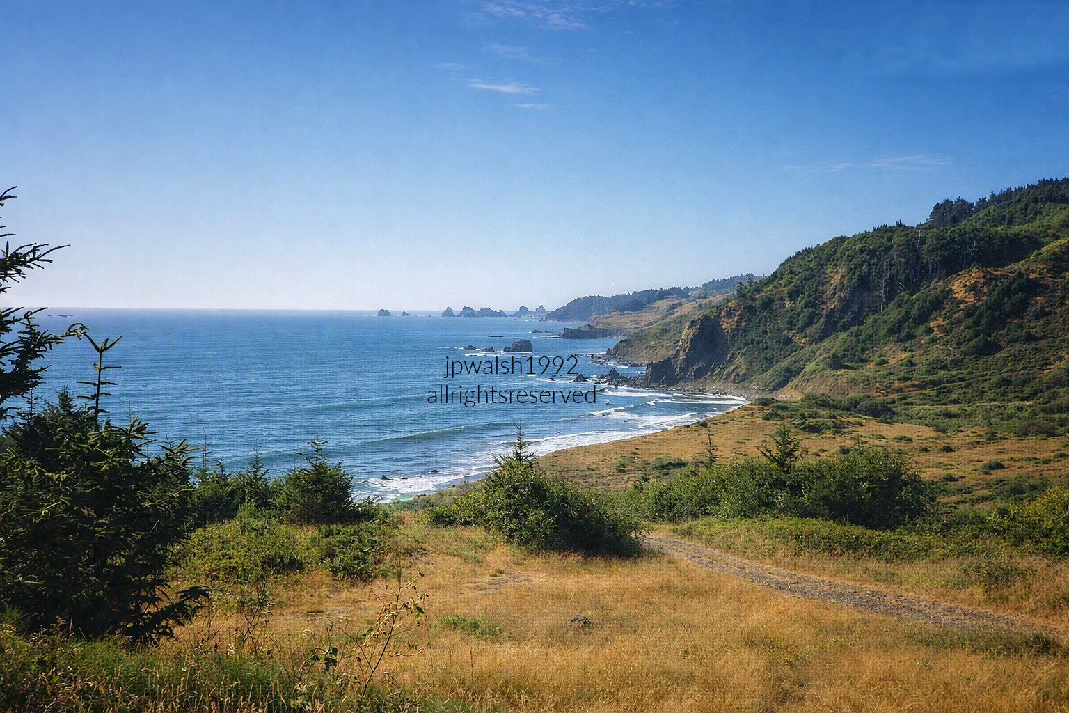
June 1992 — The high cliff bluff from which this picture was taken is Cape Ferrelo, named by the U.S. Coast Survey in the late 1800s to honor Portuguese pilot Bartolomé Ferrelo, who took command of a Spanish expedition in 1543 and became one of the first European navigators to explore the Pacific Northwest. For decades, this rugged coastline remained completely isolated from the rest of Oregon. The dirt trail winding down the right side of the photo is a piece of the Oregon Coast Trail. Realizing timber barons would soon clear-cut these magnificent oceanside forests, Samuel H. Boardman, Oregon’s very first State Parks Superintendent, spent the late 1930s and 1940s aggressively acquiring land options from locals to cobble together a protected 12-mile linear sanctuary. He believed the public had a fundamental right to access pristine coastlines, successfully creating the park that hosts this view today.
Oregon — Rogue National Wild and Scenic River (June 1992):

June 1992 — Rogue River at Copper Canyon, Agness, OR. The Rogue National Wild and Scenic River runs 215 miles from the Oregon Cascades to the Pacific. Its 84‑mile Wild and Scenic stretch—protected since 1968 as one of the original designations under the Wild & Scenic Rivers Act—is internationally known for whitewater rafting, salmon runs, deep canyons, temperate old‑growth forests, and abundant wildlife. Support for its designation grew in part to block a proposed series of dams on the lower river, including the Copper Canyon Dam. Near Agness, Copper Canyon forms a dramatic corridor of sheer walls and dense forest, a prime habitat for viewing river wildlife.
Oregon — Cape Perpetua (June 1992):

June 1992 — Cape Perpetua, on the central Oregon coast, rises more than 800 feet above the Pacific, offering long views up and down the shoreline and far out to sea. British navigator Captain Cook named the headland during his Third Voyage in March 1778.
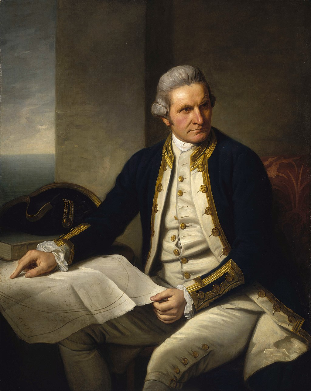
Portrait of Captain James Cook, 1775–1776, by Sir Nathaniel Dance‑Holland, oil on canvas, National Maritime Museum, Greenwich. Restless and perpetually at sea, Cook had only just returned to England in 1775 from his second expedition to the Antarctic fringes and the wider Pacific when he sat for this likeness—commissioned by Sir Joseph Banks—“for a few hours before dinner” on May 25, 1776. Within a month, on June 24, 1776, he departed London again, beginning his third and final voyage, never to return. The portrait was affirmed as a true likeness by the surgeon who sailed with Cook on two voyages. Dance‑Holland, who had trained in Rome under Pompeo Batoni, returned to London in 1765 and built a successful career as a portrait and history painter. In 1768 he joined the group of artists who petitioned George III to establish the Royal Academy that same year. see – https://www.rmg.co.uk/collections/objects/rmgc-object-14102 – retrieved January 6, 2025. Artist William Hodges’ portrait of Captain Cook – https://www.rmg.co.uk/collections/objects/rmgc-object-15640
Oregon — Bandon (June 1992):

June 1992 — Bandon, Oregon, is a Coos County coastal city known for its stark Pacific headlands, massive offshore monoliths, and deep cultural roots. Named in 1873 by Irish settler George Bennet, Bandon sits at the Coquille River Estuary, a rich habitat for seals, river otters, and migrating fish. Nearly 900 acres of protected salt marsh and mudflat at Bandon Marsh National Wildlife Refuge support abundant shorebirds and waterfowl.
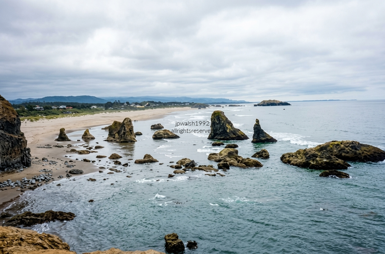
June 1992 — Bandon Beach at the Face Rock State Scenic Viewpoint on the Southern Oregon Coast, shown here, is defined by its jagged offshore sea stacks—distinctive formations that mark this stretch of shoreline. Scattered across the sand and surf, they form the signature profile of this beach. In the center‑right of the frame stands the sharply pointed Wizard’s Hat sea stack, rising cleanly from the tide line and anchoring the scene.

June 1992 — Bandon Beach.
Florida — Hollywood (December 1987):

December 1987 — Hollywood, Florida sits neatly between Miami and Fort Lauderdale, right in the middle of the South Florida coastline.
Florida — Edison/Ford Museum, Fort Meyers (March 1999):

March 1999 at the Edison–Ford Museum in Fort Myers, Florida: a bust of Thomas Edison, whose winter home and botanical laboratory were completed in 1886 and remained his base until his death in 1931. Edison and automobile pioneer Henry Ford lived side‑by‑side here, their neighboring estates forming one of Florida’s most storied historic sites.
State of Maine; State of Mind (July 1989):
York

July 1989 — Cape Neddick Light in York, Maine: the 1879 lighthouse stands on its small offshore “nubble,” a football field’s distance from the mainland, its original Fresnel lens still in service after more than a century of continuous operation. Electrified in 1938 to withstand harsh Down East storms, the light—visible here from Sohier Park—was added to the National Register of Historic Places in 1985.
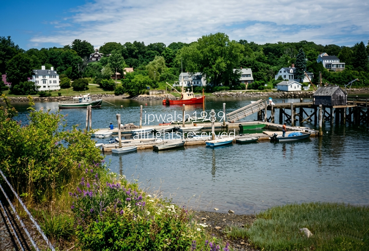
July 1989 — Historic York River harbor basin near Harris Island and Sewall’s Bridge, documenting the inner workings of a protected tidal river anchorage before modern fiberglass marina docks replaced traditional log‑piling setups. At center, a red Downeast‑style lobster trawler with a commercial hauling station anchors the scene. To the left lies a vintage wooden‑hulled cruiser, while a dense cluster of fiberglass and aluminum dinghies tie directly to the float—small tenders used by fishermen and yacht owners to reach vessels moored in deeper water.
On the right, a roller‑wheel gangway connects the ramp to a floating wooden dock, designed to slide with the 8‑ to 10‑foot tidal shifts typical of coastal Maine. Built over the pier pilings stands a weather‑beaten cedar‑shingled bait and gear shed, where local lobstermen store traps, lines, and bait coolers. On the far hillside, a white colonial‑federal estate with twin chimneys recalls the merchant wealth of the 18th‑ and 19th‑century York River trading era.
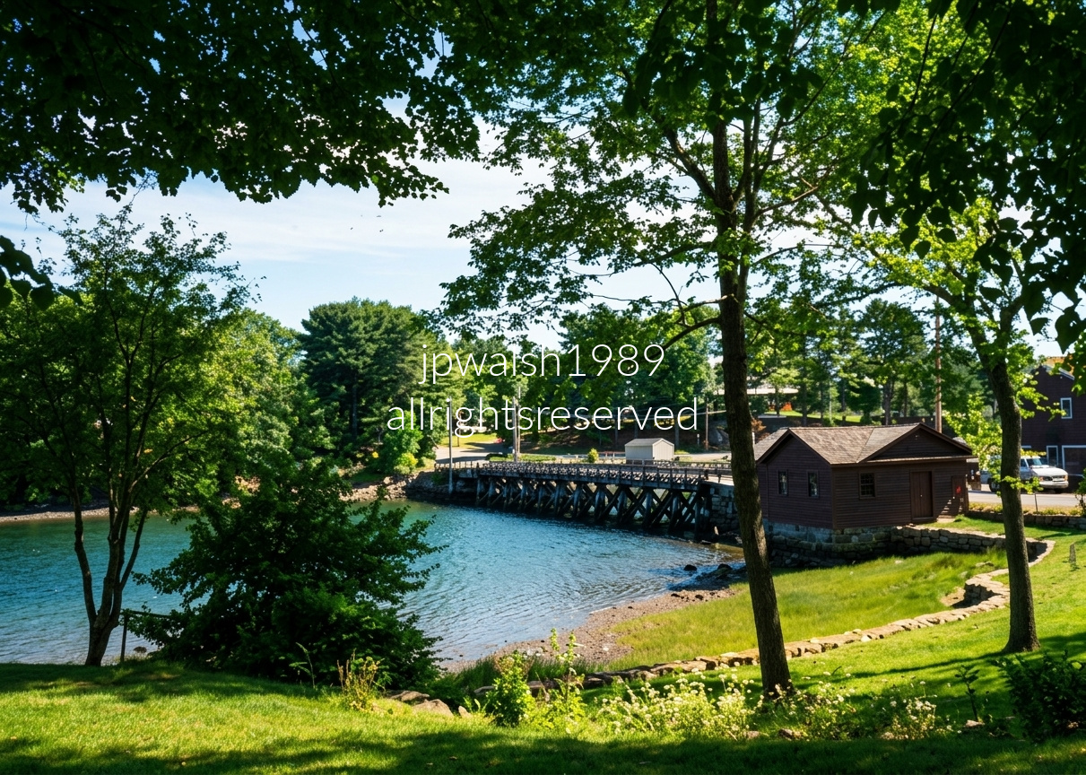
July 1989 — Before the bridge existed, the Perkins House (built 1732) served as the residence for the ferrymen who operated the York River crossing. When Sewall’s Bridge was constructed in 1761, the house returned to private use. In 1898, the prominent Perkins family purchased and expanded it into its present form.
Sewall’s Bridge was the first pile trestle bridge in America engineered from a formal site plan and survey, later rebuilt in 1934 and 2011. The mail travelled along the Lower Post Road (an extension of the historic King’s Highway system). By replacing a slow, weather dependent ferry with the nation’s first engineered, pile driven highway bridge, Sewall’s Bridge accelerated postal delivery and stagecoach travel—an innovation strongly championed by Joint Postmaster General Benjamin Franklin.

Location July 1989 — Hancock Warehouse and Wharf, York, Maine.
Origins Built in the 1740s, the Hancock Warehouse is the last surviving Colonial‑era commercial building on the York River and one of Maine’s oldest known commercial structures. It once anchored a thriving maritime economy that peaked in 1810 with 3,700 tons of registered shipping.
Decline By 1840 shipping tonnage had fallen below 1,000, and by 1880 the river’s commercial role had faded, largely due to railroads shifting demand from finished goods to bulk materials.
Hancock’s Role Owned by Massachusetts statesman and merchant John Hancock, the warehouse and adjacent wharf were part of his extensive coastal network, storing goods bound for the West Indies and global trade routes. Though undocumented, Hancock likely visited; he was in York in 1791 to see his friend Jonathan Sayward, who lived a short walk away.
Preservation Located at 136 Lindsay Street on its original foundations near the 1761 Sewall Bridge, the warehouse was added to the National Register of Historic Places on December 2, 1969. See – https://oldyork.org/historic-buildings-and-properties/ and https://www.seacoastonline.com/story/news/local/2017/07/18/the-legacy-jonathan-sayward-presented/20134306007/ and https://www.maine.gov/dot/programs-services/bridges/other-bridges/sewalls-bridge and https://www.tripadvisor.com/Attraction_Review-g40989-d107202-Reviews-John_Hancock_Wharf_Warehouse-York_Maine.html#/media/107202/?albumid=-160&type=ALL_INCLUDING_RESTRICTED&category=-160 – retrieved July 20, 2025.
Cape Elizabeth
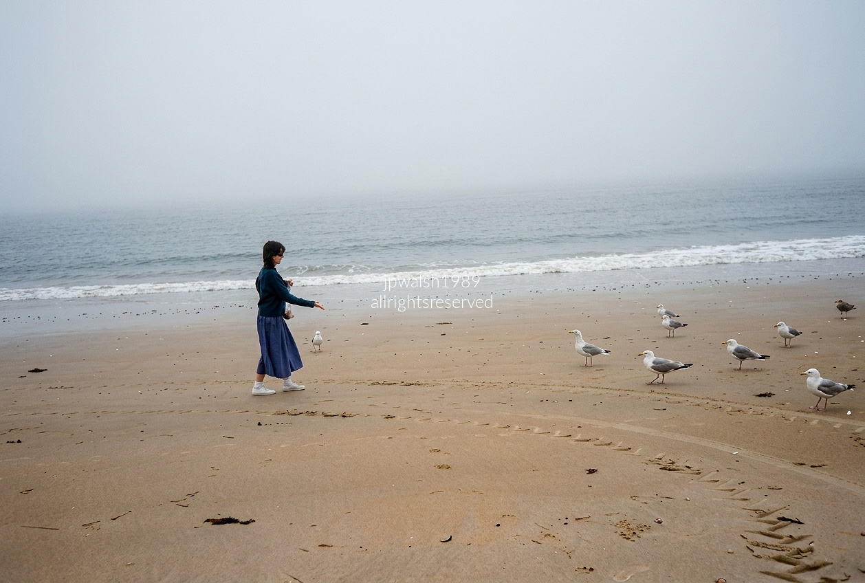
July 1989 — Debbie walks across a fog‑shrouded beach in Cape Elizabeth, Maine, reaching toward a cluster of seagulls on the wet sand. She wears late‑1980s casual clothes — a dark teal sweater, blue midi skirt, white socks, and white sneakers — moving through a wide, empty shoreline where the Atlantic fades into a heavy white fog. The damp sand shows scattered seaweed and faint tire tracks, emphasizing the scale of the beach.
Cape Elizabeth, just south of Portland, is a historic coastal town known for its rocky headlands, long beaches, and working maritime landscape. Crescent Beach stretches a mile between dunes and beach grass, with naturally calm surf; nearby Kettle Cove offers rocky ledges, mudflats, and lobster boats. Portland Head Light, completed in 1791 and authorized by George Washington, stands on the town’s cliffs as Maine’s oldest lighthouse.
In 1989, Cape Elizabeth sat in the orbit of national attention. George H. W. Bush had been inaugurated that January, and southern Maine became a de facto “Summer White House,” drawing press, political figures, and heightened security to the region’s quiet beaches and towns.
Kennebunkport
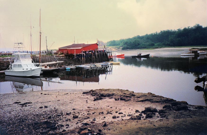
July 1989 — Ocean Avenue in Kennebunkport, Maine stood at the crossroads of coastal summer life and national attention. The scenic drive, known for its rocky shoreline and wide Atlantic views, drew global focus as President George H. W. Bush spent his first summer in office at nearby Walker’s Point. Motorcades moved past historic shingle‑style homes while ocean breezes and blooming wild roses framed a season where high‑profile history and classic New England charm met along the waterfront.
Camden
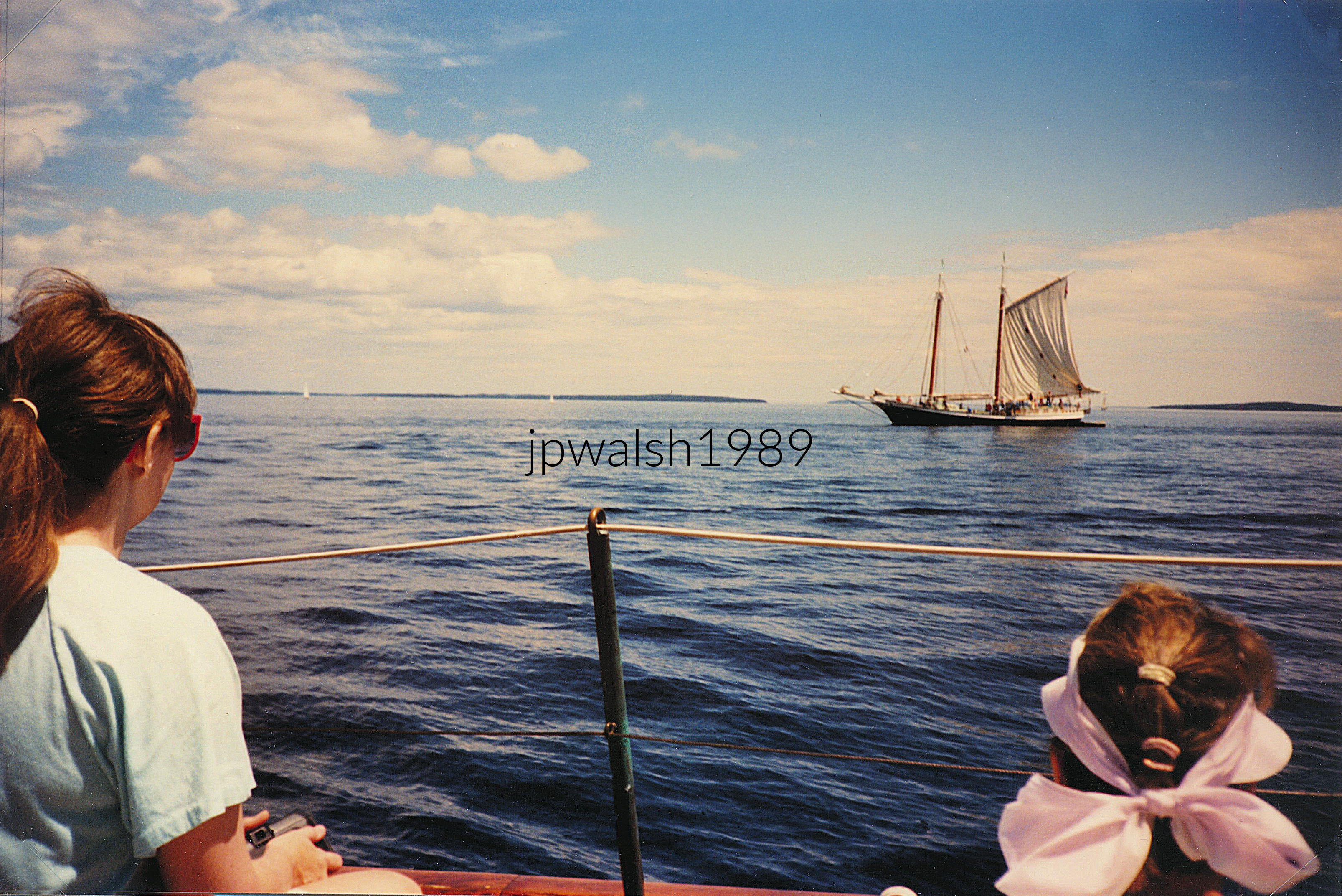
July 1989 — Penobscot Bay off Camden, Maine at the height of summer sailing, with the Maine Windjammer fleet, day‑sailers, yachts, and lobster boats moving beneath Mount Battie and Curtis Island Light. Salt air, pine breezes, and rugged island shorelines framed a classic New England maritime scene.
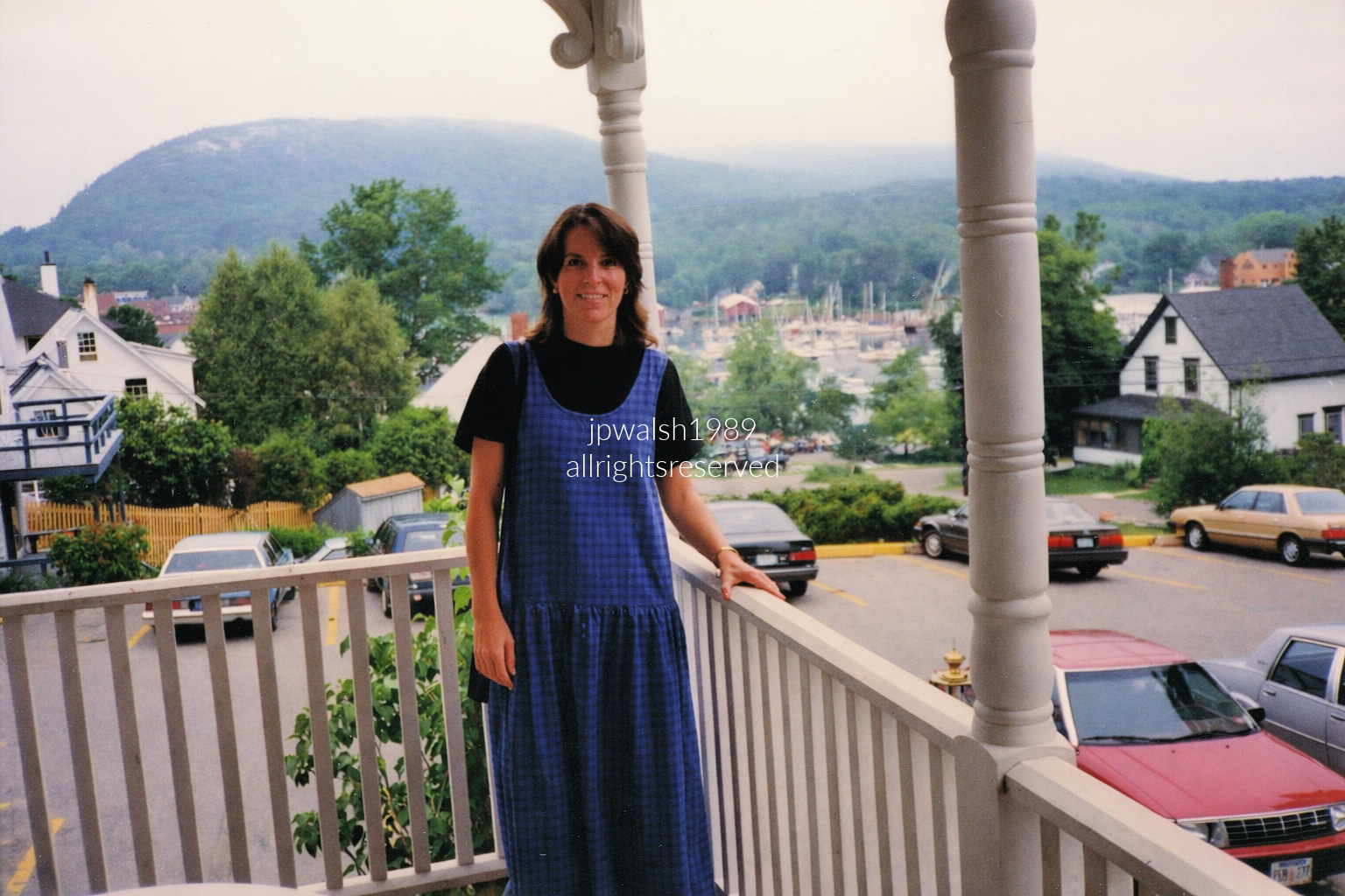
July 1989 — Deb on the veranda porch of the Camden Harbour Inn in Camden, Maine, leaning against the white wooden railings and looking south toward town. Behind her, masts of sailboats crowd busy Camden Harbor, framed by Midcoast Maine’s deep‑green summer foliage. Mount Battie rises on the left horizon, the rounded peak that defines Camden Hills State Park. The lower frame freezes a perfect 1989 moment: classic cars parked along Bay View Hill, including a bright red Ford Ranger pickup.
Built atop Bay View Hill, the inn opened in 1874 as a Victorian summer guesthouse for wealthy urban rusticators escaping the heat of Boston, New York, and Philadelphia. Its long porches, decorative columns, and wide harbor‑facing windows exemplify New England Victorian architecture. Over time, the property evolved from a seasonal boarding house into a luxury destination.
Camden, incorporated in 1791, spent the 19th century as an industrial town powered by shipbuilding, anchor works, and woolen mills along the Megunticook River. After the 1892 fire leveled its business district, the town rebuilt in brick and embraced tourism and high‑society summer life. By the mid‑20th century, Camden became world‑famous as the home port of the American Windjammer fleet, and its postcard harbor and picturesque coastal town has been featured in several major Hollywood films and television productions.
The critically acclaimed, Academy Award‑nominated drama In the Bedroom (2001), starring Sissy Spacek, Tom Wilkinson, and Nick Stahl, makes striking use of Camden’s landscape. Key scenes unfold at Camden Harbor Park and the Amphitheatre, grounding the film in the town’s picturesque coastal character. Its haunting dawn finale was shot from the summit of Mount Battie, capturing the panoramic sweep of harbor, islands, and early‑morning light that defines Camden on film.
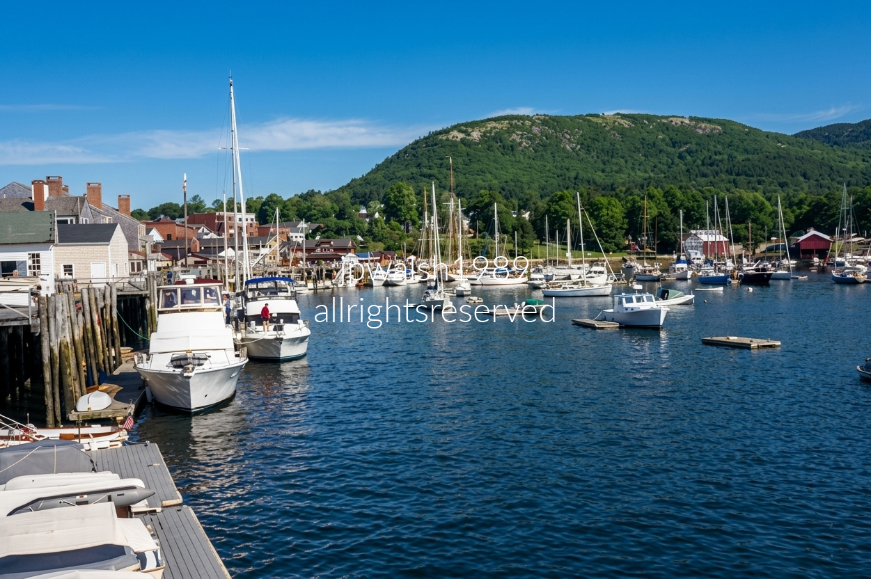
July 1989 — Taken from the western side of Camden Harbor, looking northeast across the inner anchorage toward the town’s historic waterfront and the steep, forested rise of Mount Battie in the distance. The view captures the harbor’s signature fleet of multi masted wooden sailing ships, a defining element of Maine’s maritime heritage and one of Camden’s most enduring visual identities.
South Carolina — Hilton Head Island (September 1989):
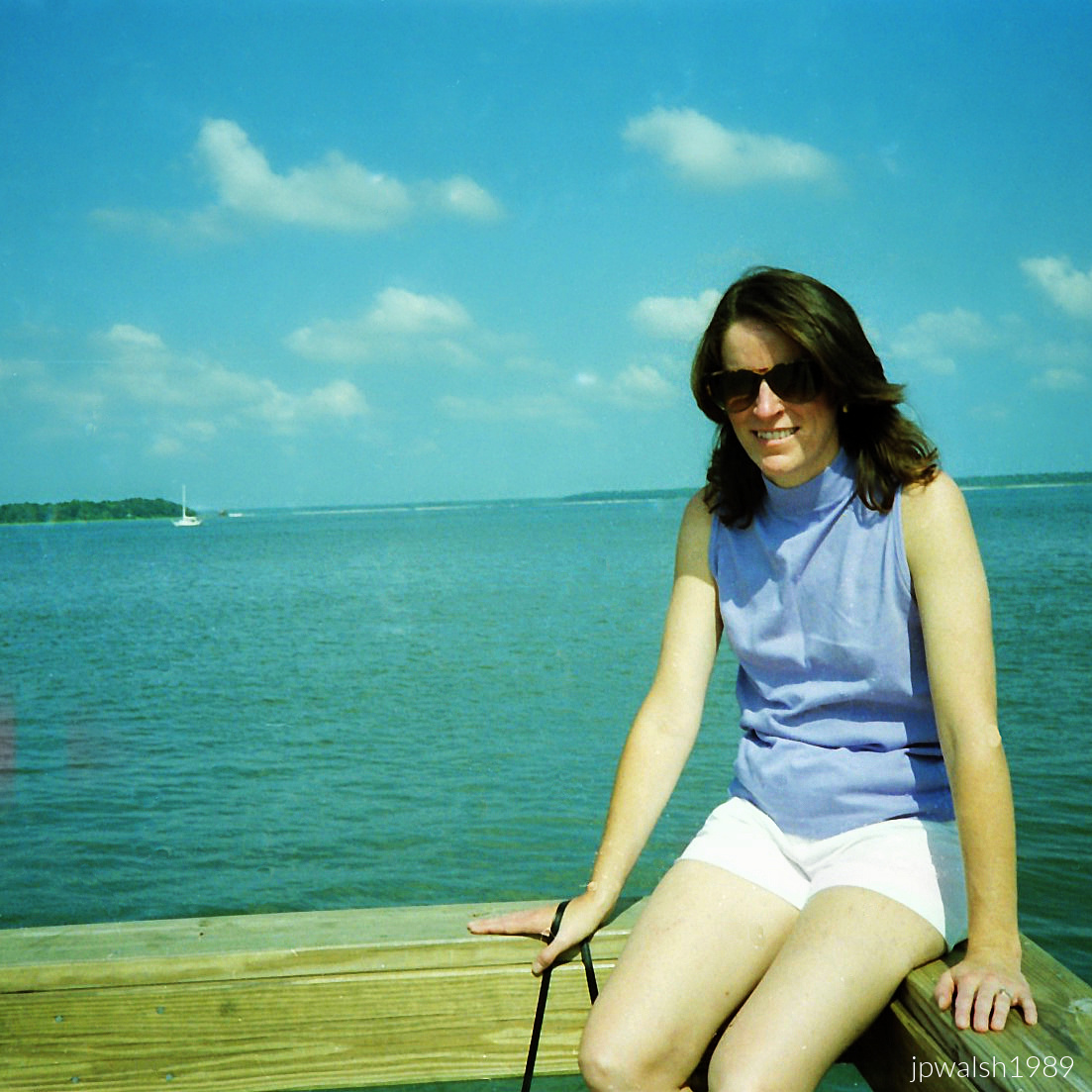
September 1989 — Deb sits on the long wooden pier extending into the Calibogue Sound, looking out from the edge of Harbour Town Golf Links. Behind her is the wide tidal waterway that separates Hilton Head Island from Daufuskie Island and the mainland, known for its rich marine life and its highly active, year‑round population of Atlantic bottlenose dolphins. The thin green line on the far‑left horizon marks boat‑accessible islands. The small white sailboat anchored in the distance underscores the calm, sheltered nature of the sound, a setting that makes it a premier spot for sailing, kayaking, and yachting excursions departing from the nearby Harbour Town Yacht Basin. The wooden railing Deb leans on is a popular observation point, offering panoramic views of the 18th hole’s emerald fairway on one side and the open coastal waters on the other.

September 1989 — Harbour Town Golf Links, Hilton Head Island, South Carolina. In view is the world‑famous 18th green of Harbour Town Golf Links, designed by Pete Dye and Jack Nicklaus in July 1968 and set within the Sea Pines Resort on Hilton Head Island. The coastal view captures one of professional golf’s most iconic finishing holes, where players must drive over the wide waters of the Calibogue Sound on the right, aiming toward a tight emerald fairway bordered by marshland.
Docked at the concrete bulkhead in the foreground is the Vagabond, the longtime sightseeing and dolphin‑watching tour boat that has operated out of the nearby Harbour Town Yacht Basin since 1968. The long wooden pier extending into the sound is private. Just off‑camera to the left stands the red‑and‑white striped Harbour Town Lighthouse, the resort’s signature landmark.
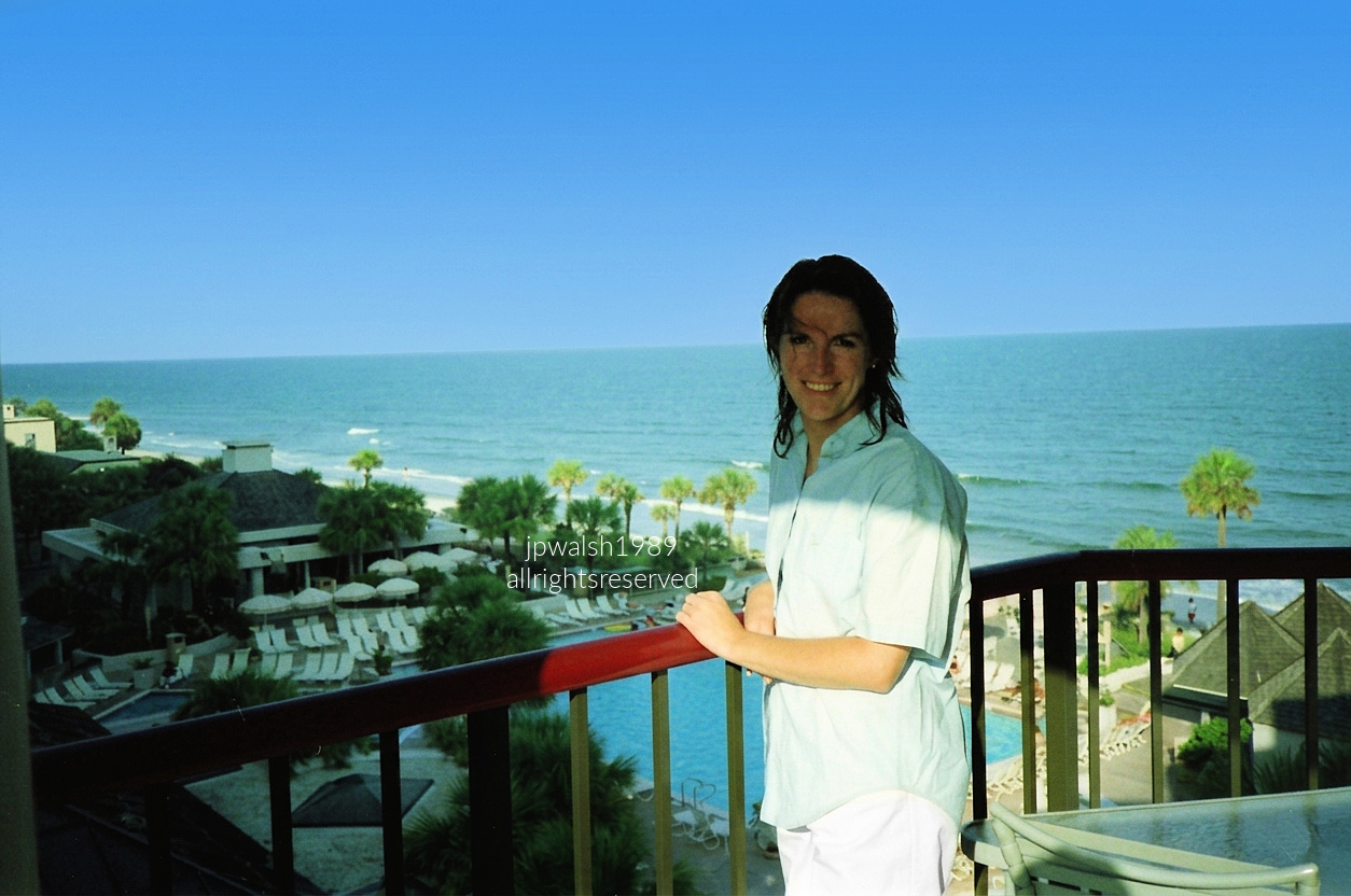
September 1989 — Hyatt Regency Hilton Head Resort. Deb on the room’s balcony above the oceanfront pool complex in Palmetto Dunes, looking out over the resort as it appeared just days before Hurricane Hugo threatened the South Carolina coast. On September 21, Hilton Head Island was placed under a mandatory evacuation order as the storm accelerated northward. By the early hours of September 22, Hugo veered slightly and made its catastrophic landfall on Sullivan’s Island and the greater Charleston area instead, sparing Hilton Head from a direct strike. We had flown home to Chicago days before.
South Carolina — Charleston (September 1989):
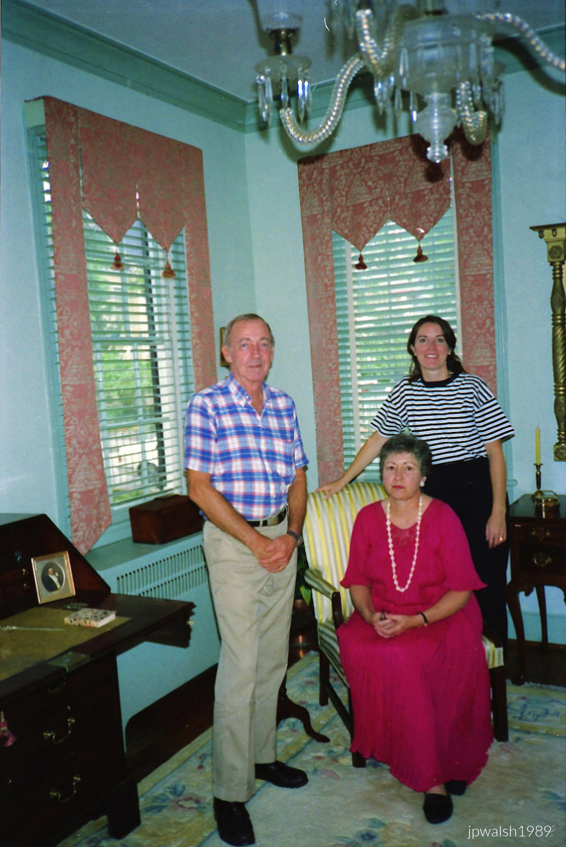
September 1989 — Debbie with our bed‑and‑breakfast hosts, Ned and Clara Webb, in Charleston. Ned Webb was one of the city’s earliest recognizable postwar radio personalities, emerging just as local stations began replacing anonymous network announcers with distinct hometown voices. His late‑evening record program, “The Spider’s Webb,” on WUSN made him a well-known name across Charleston, and he later moved into television as a news anchor on WCSC‑TV. On the desk sits a photograph of one of the Webbs’ Charleston ancestors.
Clara Webb was a leading preservation figure, serving as president of the Preservation Society of Charleston and helping shape the city’s architectural protection laws. In the 1970s and 1980s, the Webbs were among the first Charleston couples to open their historic downtown home as a bed‑and‑breakfast, pioneering a new model of heritage tourism. By operating their private historic house as a boutique inn, they showed how old architecture could be financially sustained and saved from demolition — making them ideal hosts for visitors seeking an authentic experience of Charleston’s past.
After breakfast — which Clara cooked and served with her silver service — Ned would politely ask each morning if he might join us at the table, and we always agreed. Those conversations stretched on pleasantly, mostly about Charleston’s history. To the best of my recollection, his family owned a plantation outside the city in the 19th century, and he showed us his ancestor’s Confederate belt buckle and possibly a Civil War–era firearm — small heirlooms that added a personal thread to the stories he shared.
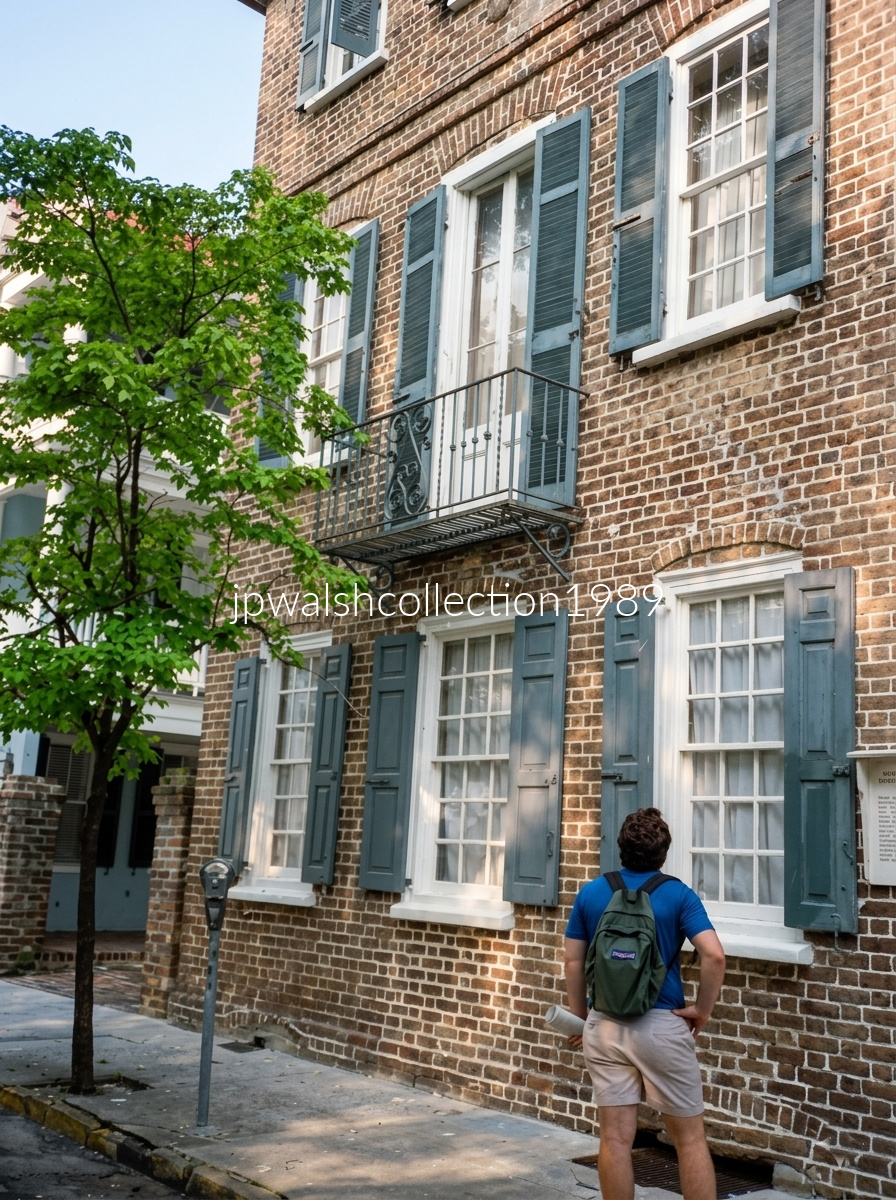
Thomas Bee House, September 1989
At 94 Church Street in downtown Charleston, the Thomas Bee House was built around 1730 by colonial lawyer Thomas Bee. In 1832, its second‑floor drawing room became the clandestine headquarters of the Nullification movement, where John C. Calhoun, Governor James Hamilton Jr., and Senator Robert Y. Hayne drafted the Ordinance of Nullification, asserting that states could declare federal laws “null and void” within their borders.
Tariffs and Southern Politics
Charleston elites opposed the Tariffs of 1828 and 1832, the “Tariff of Abominations,” which protected Northern industry while harming the export‑driven plantation economy. Southern politicians feared that if Washington could impose punitive tariffs, it might eventually move against slavery. South Carolina adopted the Ordinance in November 1832, igniting a constitutional crisis.
Jackson’s Response
President Andrew Jackson, a Southern Unionist, denounced nullification as treason. He sent U.S. Navy warships to Charleston Harbor, reinforced federal forts, and secured the Force Bill, authorizing military action to collect the tariffs. Armed conflict was narrowly avoided in 1833, when Henry Clay, Jackson’s chief rival, pushed through a compromise tariff that passed with strong majorities—though sharply divided by region—and lowered rates enough to defuse the crisis. On March 2, 1833, Jackson signed both the compromise tariff (the carrot) and the Force Bill (the stick), the latter passing only because Southern opponents staged a walkout rather than vote against it.
Legacy and Later Use
The ideas shaped inside the Thomas Bee House endured. They formed the political blueprint for states’ rights and secession, deployed by South Carolina after the 1860 election, which brought Illinois’ Abraham Lincoln into office with 39.8% of the popular vote — the nation’s first minority‑vote president.

September 1989 — East Battery, Charleston. The yellow structure in the background is the Louis DeSaussure House (c.1859), an antebellum Greek Revival mansion with stacked piazzas facing the harbor, wrought‑iron balcony work, and a raised basement plan typical of Lowcountry estates. It stands along East Battery beside White Point Garden, framed by palmetto trees.
Directly opposite Fort Sumter, the house endured repeated Union shelling during the Civil War and took several hits. In February 1865, Confederate forces evacuating Charleston detonated artillery positions near the house—roughly where I’m standing—sending iron fragments into the structure’s upper framing, where some remain. The 1886 earthquake caused major damage, and just days after this photograph, Hurricane Hugo submerged the street and seawall in front of the property.
South Carolina — Boone Hall Plantation (1681), Mount Pleasant (September 1989):

September 1989 — Deb stands on the manicured rear lawns of the main house, framed by Boone Hall’s signature avenue of mature oaks draped in Spanish moss. The plantation’s grounds trace back to the late 1600s, though the brick Colonial Revival manor visible in the background was built in 1936. Throughout the mid‑to‑late 1980s, the estate doubled as Mont Royal in ABC’s blockbuster miniseries North and South, starring Patrick Swayze. Only days after this photograph, Hurricane Hugo struck the Mount Pleasant area head‑on, destroying several historic outbuildings — including the packing house and tidal dock — while the main brick residence endured.

September 1989 — Boone Hall docent wearing an actual Hollywood costume from ABC’s North and South (1985–86), rather than an authentic antebellum gown or off‑the‑rack 1980s bridal dress. Boone Hall Plantation served as the primary filming location for the miniseries starring Patrick Swayze and Kirstie Alley, and production reportedly left behind wardrobe pieces later repurposed for tours. Many historic sites use such screen‑used costumes to attract visitors. The synthetic tulle overlay—a hallmark of 1980s costume design—was favored for its light weight and “romantic” look on camera, contrasting sharply with the brick backdrop and optimized for movement, not 1850s tailoring.
Georgia — Savannah National Wildlife Refuge (September 1989):
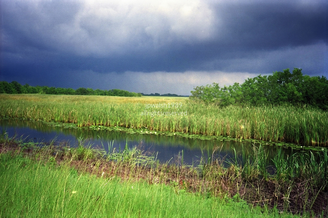
September 1989 — Tidal freshwater wetlands along the Georgia–South Carolina border near Savannah, defined by tall stands of cattails, freshwater tidal grasses, and broad fields of green lily pads. A straight freshwater canal cuts across the marsh — part of the historic 18th‑century rice‑plantation dike system now managed by the U.S. Fish and Wildlife Service as protected habitat. A dense treeline of native maritime shrubs and hardwoods anchors the horizon, providing critical nesting cover for the refuge’s diverse bird populations. Overhead, a massive, dark shelf of low‑hung summer storm clouds presses across the sky, sharply contrasting with the bright, sunlit green of the marsh below.
Georgia — Savannah (September 1989):
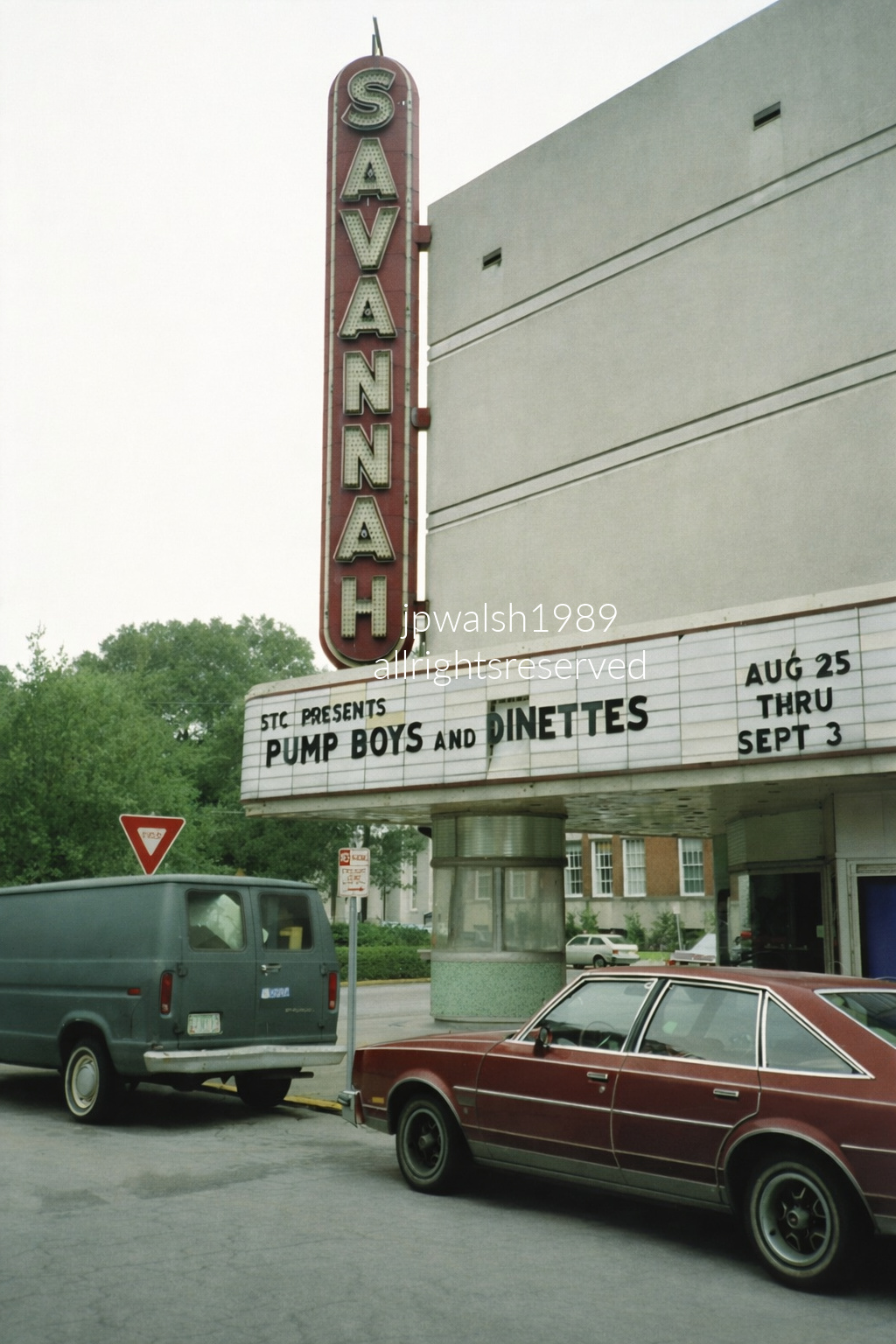
September 1989 — Savannah Theatre, Savannah, Georgia Standing at 222 Bull Street, across from Chippewa Square, a theatre has occupied this site since 1818. The Art Moderne movie house was built in 1948 by architects Robert E. Collins and Carl E. Helfrich, active in Georgia and Florida. It was owned by Weis Theatres, which also operated a cinema in Atlanta. By 1981, the nearly 1,000‑seat theatre had changed hands several times. When this photograph was taken in 1989, it had been downsized to about 350 seats, owned by the Savannah Theatre Company (STC), and used for live performances. SOURCE: https://visitsavannah.com/profile/chippewa-square/6117 and
https://cinematreasures.org/theaters/686.
Tennessee — The Hermitage (1804), Davidson Country (April 2004):
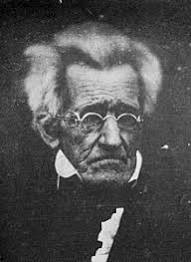
April 15, 1845 — This daguerreotype of Andrew Jackson was made at The Hermitage just weeks before his death. At 78, Jackson was gravely ill with tuberculosis, heart failure, and chronic lead poisoning from a dueling bullet lodged in his body for decades. The image was taken by Dan Adams of Nashville and stands as one of the earliest photographic portraits of a U.S. president. Public Domain.
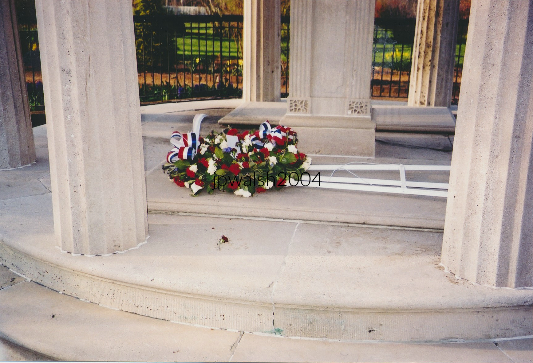
April 2004 — Just east of Nashville, the tomb of 7th U.S. President Andrew Jackson and his wife, Rachel Jackson, stands in the garden at the Hermitage, where magnolias, cedar trees, and Tennessee humidity settle over the grounds. On December 22, 1828, only weeks after Andrew won the presidency and just before his inauguration, Rachel died suddenly of a heart attack at age 61 and never served as First Lady. Andrew Jackson died on June 8, 1845, at age 78. His 1,000‑acre plantation — worked by 110 enslaved people at the time of his death — once stretched across the rolling Middle Tennessee countryside. During the Civil War, a Union soldier described the tomb as “all together a dark and secluded spot” (Pvt. Joseph C. Taylor, May 5, 1863). Today the Hermitage is a National Historic Landmark woven into the region’s landscape and lore.
Illinois — The Art Institute of Chicago (September 1984):
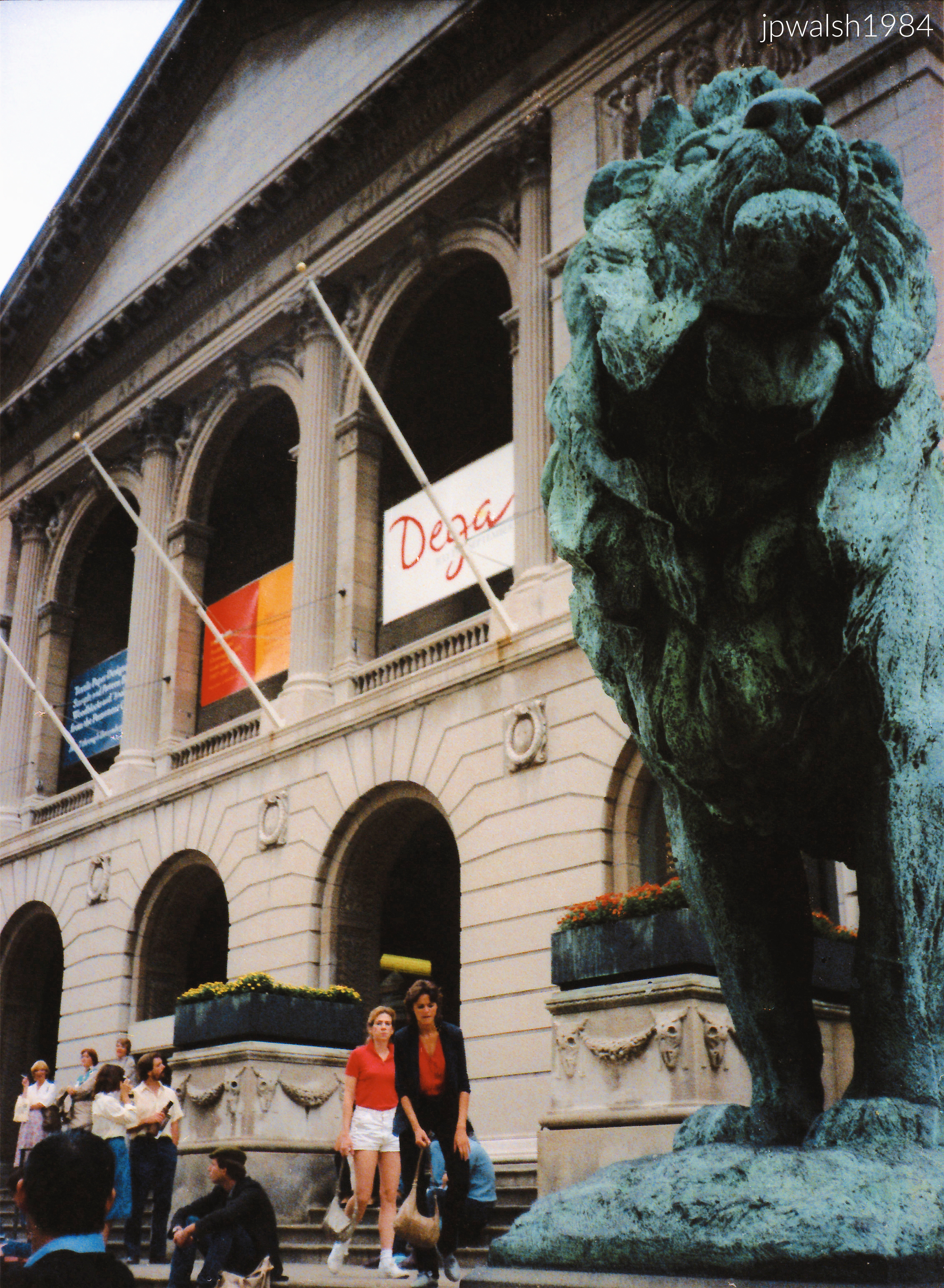
September 1984 — Art Institute of Chicago Heading in to see “Degas in the Art Institute of Chicago” (July 19–September 23, 1984), I caught one of the museum’s landmark exhibitions of the decade. Co‑curated by Richard R. Brettell and Suzanne Folds McCullagh, the show reframed Edgar Degas as a fiercely experimental artist, highlighting his mastery across drawing, painting, sculpture, and printmaking. The galleries emphasized Degas’s focus on the physical labor of Parisian life, his controlled, often voyeuristic vantage points, and his blend of classical training with modern, radical subjects. The exhibition also underscored the importance of his preparatory studies, which reveal the disciplined, iterative process behind his most iconic works.
Illinois — Millennium Park construction site, Chicago (December 1998):
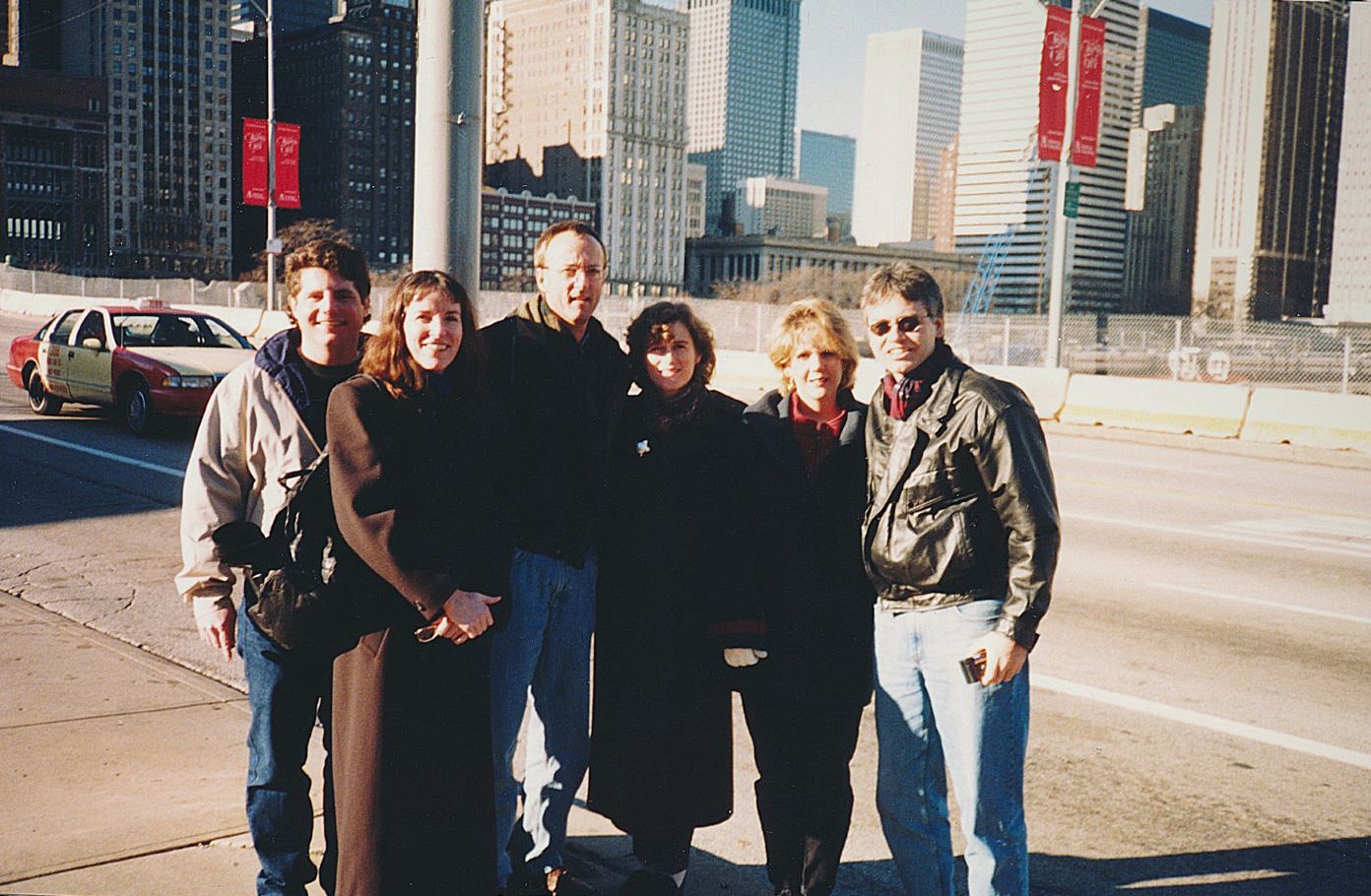
December 1998 — Chicago. Behind us is the early construction site for Millennium Park, begun in 1997 on the northwest corner of Grant Park and completed in 2004. In 1999, the city announced that Anish Kapoor’s Cloud Gate (“The Bean”)—a mirrored stainless‑steel sculpture about 66 feet long—would anchor the park and draw visitors. Unveiled in 2006, it quickly became a regional landmark. By 2016, Millennium Park was the Midwest’s most‑visited destination, attracting more than 13 million visitors and supporting roughly 20,000 hospitality jobs. see –https://www.cbsnews.com/chicago/news/millennium-park-midwest-tourism/ – retrieved February 19, 2024.
Illinois — Schaller’s Pump (1881-2017), Chicago (August 1996):
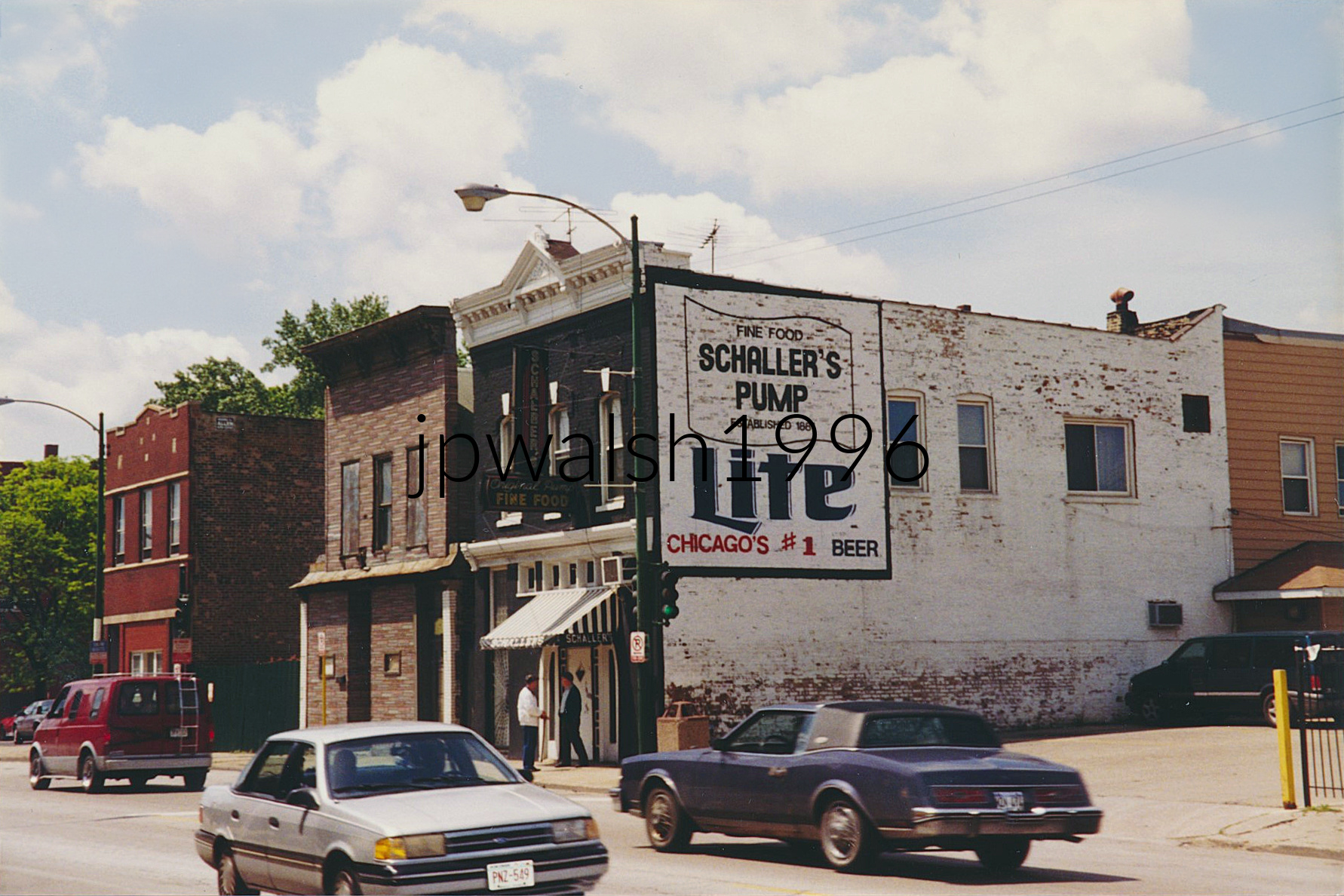
August 1996 — Schaller’s Pump, Bridgeport, Chicago opened in 1881 and closed in 2017.
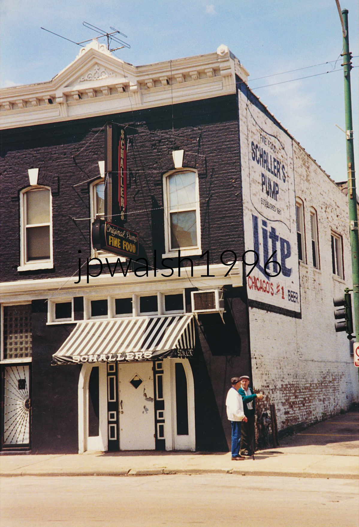
August 1996 — Schaller’s Pump, Bridgeport, Chicago At 3714 South Halsted Street, Schaller’s Pump stood as one of Chicago’s oldest taverns, opened in 1881 and known for generations simply as The Pump. By the 1960s it was both a neighborhood bar and a sit‑down family dinner spot, woven tightly into the life of Bridgeport. Directly across from the 11th Ward Democratic headquarters, it sat at the political crossroads of Chicago mayors from Ed Kelly through Richard M. Daley, hosting countless ward gatherings, campaign stops, and Chicago White Sox rallies. When it finally closed in 2017, after 136 years, it marked the end of a long, unmistakably Chicago institution.
Illinois — Clinton-Gore Rally, Daley Plaza, Chicago (October 20, 1992):

October 20, 1992 — Chicago. Clinton–Gore Rally at the Picasso. The Democratic ticket for president and vice president appeared with Hillary Rodham Clinton and Tipper Gore, joined on the platform by Senate candidate Carol Moseley Braun. All three candidates won their races that year. Clinton and Gore went on to serve two terms, and Moseley Braun—who became the first Black woman in the U.S. Senate and the first female senator from Illinois—served one term. see – https://www.c-span.org/video/?c4090960/user-clip-clintongore-campaign-speech-1992 – retrieved June 20, 2023.
Illinois — Lake County Fair, Grayslake (July 2008):
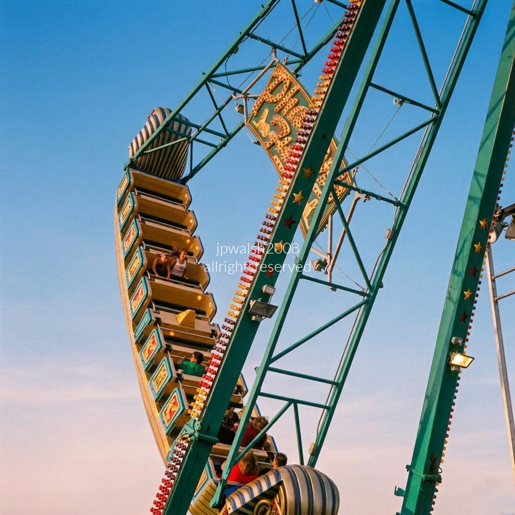
July 2008 —Pharaoh’s Fury, a swinging pendulum “boat” ride built by Chance Rides, carries riders in a wide arc until the rows stand nearly vertical. Its pharaoh‑themed prow and stern date to the 1990s model, but the basic swinging‑ship attraction has been a fairground staple since 1897.

July 2008 — The 80th Lake County Fair in Grayslake, Illinois, held July 22–27, 2008, featured a rodeo with professional bull riding.
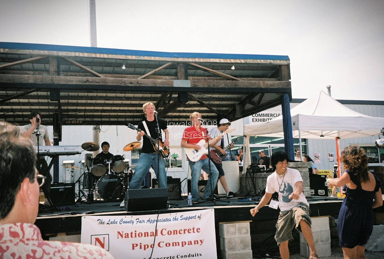
July 2008 — The fair featured continuous live local entertainment throughout the week across multiple smaller stages, heavily focusing on country, classic rock, and folk artists matching the rural community heritage.
Illinois — Galena (July 2007):
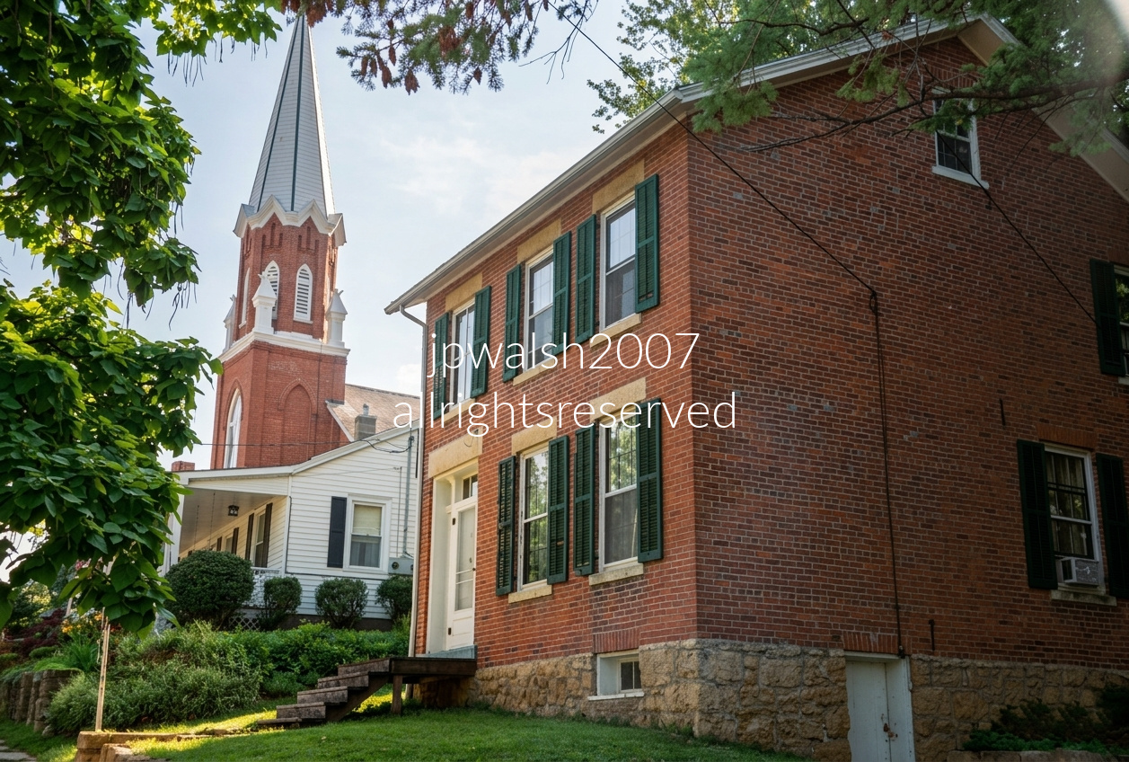
July 2007 — U.S. Grant’s Pre–Civil War Home, Galena, Illinois. On the western ridge directly overlooking the Galena River and the bustling Main Street business district sits the modest Federal-style brick house at 121 South High Street where Grant and Julia with their children rented in 1860 while he worked as a clerk in his father’s leather goods store on Main Street, just months before the Civil War. It sits next door to St. Matthew’s Lutheran Church, while the historic Galena United Methodist Church—the oldest Methodist congregation in northern Illinois (1829) and the church actually attended by U.S. Grant—sits directly below on Bench Street. Today, the original home operates as a carefully preserved guest property, allowing visitors to stay in the very rooms where Grant lived before rising to national command and, ultimately, the presidency.
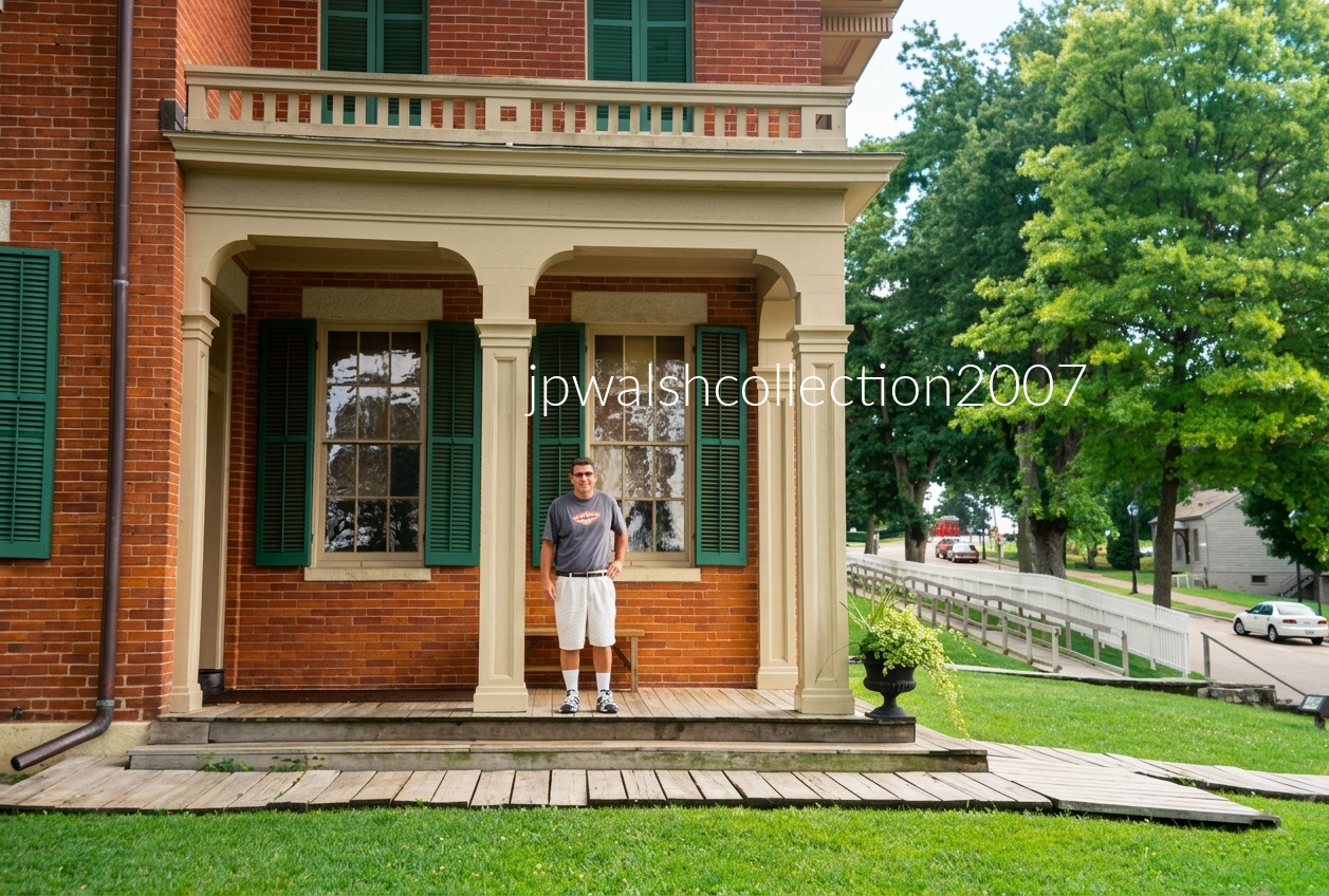
July 2007 — Ulysses S. Grant Home State Historic Site, Galena, Illinois. On the front porch of the famed Italianate mansion at 500 Bouthillier Street, the post–Civil War residence presented to Grant by the citizens of Galena upon his triumphant return in 1865. From this house — a symbol of gratitude, victory, and rising national stature — Grant would be elected President in 1868.

August 1865 — Galena, Illinois. General Ulysses S. Grant stands with his youngest son, Jesse Root Grant on the front porch of the newly gifted Italianate brick home presented to him by the citizens of Galena on August 19, 1865. Fresh from the surrender at Appomattox and celebrated nationwide as the victorious commander of the Union Armies, Grant returned here as a hero. The photograph captures a brief moment of domestic calm and civic celebration — a narrow pause between the exhaustion of wartime leadership and the political ascent that would carry him to the presidency just over three years later.
Illinois — Archbishop Fulton John Sheen Spiritual Center and Communication Room, El Paso (August 2007):
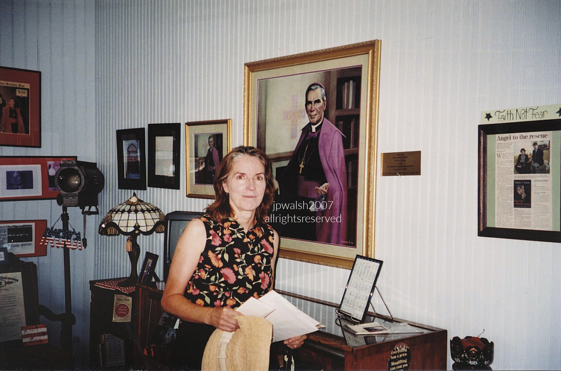
August 2007 — Deb at the Archbishop Fulton John Sheen Spiritual Center and Communication Room, located inside the Historic Railroad Depot in his birthplace of El Paso, Illinois. Deb told me a story that she went on a ski trip with Continental Bank in the late 1980s and that she skied with one of Fulton J. Sheen’s nephews. The vintage studio spotlight on the left, old radios, and typewriter props in the room are deliberate design choices meant to recreate the atmosphere of Bishop Sheen’s pioneering mid-20th-century radio and Emmy-Award-winning television programs like The Catholic Hour and Life Is Worth Living. In October 2000, the museum founder first set up a modest Bishop Sheen exhibit in the “Reading Corner” of the newly restored historic depot. By July 2001 this dedicated, separate large, full-size room officially opened within the depot— the exact space in this photo. At his beatification Mass on September 24, 2026, the papal delegate and presider, Cardinal Luis Antonio Tagle, called Archbishop Fulton J. Sheen a “son of Illinois, son of the United States of America,” and “indeed, son of the world.”
New York — New Paltz (June 2000):

June 2000 — Jean Hasbrouck House, New Paltz, New York. New Paltz itself was founded in 1677 by twelve French Huguenot refugees — The Duzine — who fled persecution under Louis XIV, lived about 10 years in the German Palatinate, and then escaped to America where in the first 2 to 3 years they stayed with established Dutch and French communities in Kingston (then called Esopus) and Hurley, New York. They then purchased a 40,000‑acre tract approximately 80 miles north of New York City, from local Native Americans, later ratified by Governor Edmund Andros. Jean Hasbrouck was one of these original patentees.
On the corner of Huguenot Street and North Front Street stands the Jean Hasbrouck House, long dated to 1694–1712 until a 2002 dendrochronology study revealed its massive attic timbers were felled in 1721. Because Jean Hasbrouck died in 1714, historians now attribute the stone house to his son Jacob Hasbrouck. Recognized as a National Historic Landmark, it is one of the finest surviving examples of Hudson Valley Dutch stone architecture …Records document that its demanding construction relied heavily on enslaved African labor inherited by Jacob, who used the building as both a family residence and a frontier merchant store.
In 1899, the Huguenot Historical Society acquired the house as its flagship “Memorial House,” anchoring today’s 10‑acre Historic Huguenot Street district of seven original stone houses, a reconstructed 1717 French church, and a colonial burying ground. Recognized as a National Historic Landmark, Jean Hasbrouck House is one of the finest surviving examples of Hudson Valley Dutch stone architecture of thick undressed fieldstone walls, steep gable roof built as a grain garret, and the only original 18th‑century jambless fireplace remaining on the street.
New York — Olana State Historic Site (1872), Hudson (June 2000):

June 2000 — Olana, the hilltop home of landscape painter Frederic Church (1826–1900) and his wife, Isabel Mortimer Carnes of Dayton, Ohio, where they raised their four children. A leading figure of the Hudson River School, Church purchased 126 acres here in 1860 on a south‑facing slope near Hudson, returning to a sketching ground he first visited in 1840 with his teacher, Thomas Cole. The family built the Olana mansion between 1870 and 1872. Today the property is a 250‑acre New York State Historic Site overlooking the Hudson River across from Catskill. see – https://www.olana.org/ – retrieved February 19, 2024.
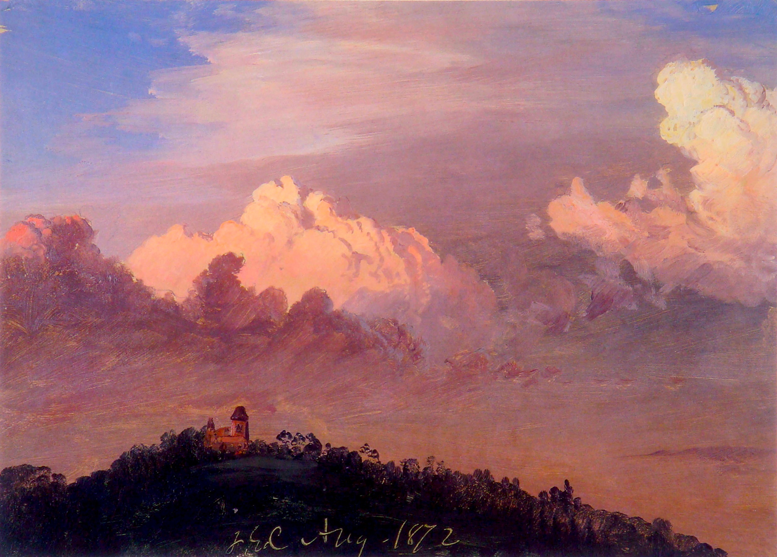
Clouds Over Olana (1872) is an oil-on-paper sketch capturing the dramatic sky and light directly from his property, one of the notable works Church made at Olana. Public Domain.
New York — General Grant National Memorial, New York City (June 2000):
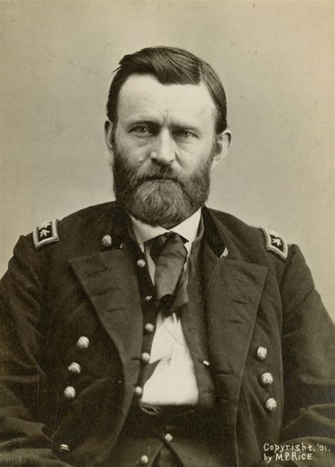
U.S. Grant. Public Domain.
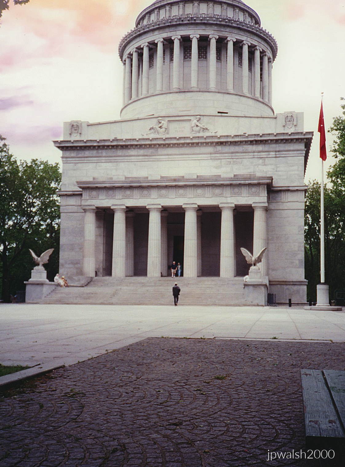
June 2000 — Grant’s Tomb, Morningside Heights, New York City. Completed in 1897, the classical domed mausoleum by American architect John Hemenway Duncan stands at Riverside Drive and 122nd Street beside Riverside Park. Within the stone interior rest Ulysses S. Grant, 18th president and former Commanding General of the U.S. Army, and his wife, Julia Grant. Celebrated as the most popular American of the 19th century, Grant led the Union to victory in the Civil War and, as president, worked to secure a just and stable postwar settlement.
August 2005 — On Monday morning we followed Route 1 and crossed the Verrazzano‑Narrows Bridge into New York City—Brooklyn first. The city felt immense: two and a half million people in Brooklyn alone, just one of five boroughs. We passed rows of Archie Bunker‑style houses and the Brooklyn Museum of Art in Prospect Park—closed on Monday. At Fulton Street Mall downtown, we ate matzo ball soup and shared cheesecake at Junior’s, a Brooklyn fixture since 1950. Then we crossed the Brooklyn Bridge into Manhattan.
At the World Trade Center site, people leaned from car windows and fences, taking pictures of the vast hole in the ground. We drove through Little Italy and Chinatown, then uptown toward the new Museum of Modern Art.
New York — Kinderhook (June 2000):
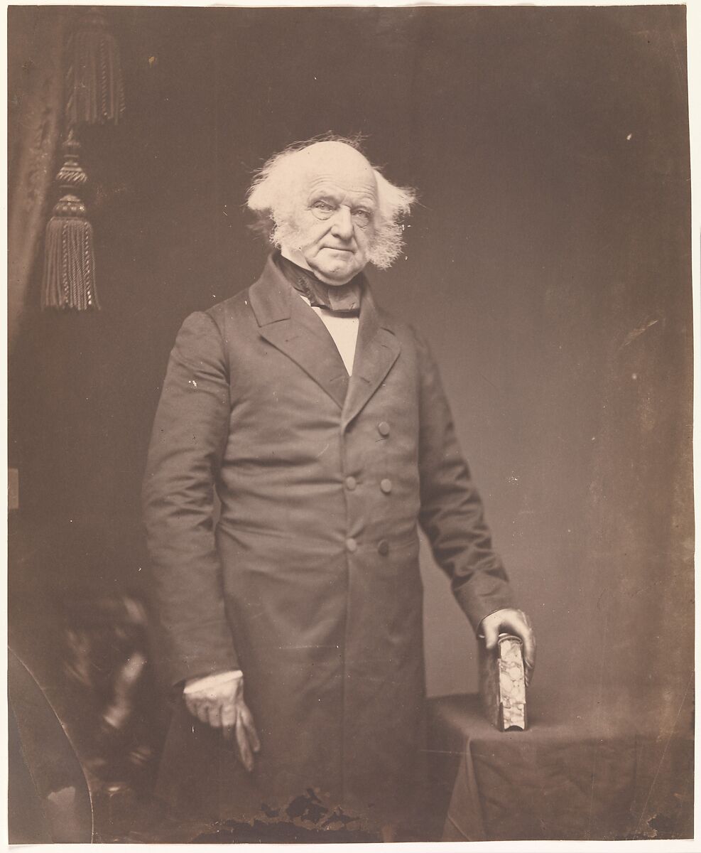

June 2000 — Gravesite of Martin Van Buren (1782–1862), 8th president, in Kinderhook, New York. A shrewd lawyer and political tactician, Van Buren served as New York’s attorney general, governor, U.S. senator, ambassador to England, secretary of state, and vice‑president under Andrew Jackson before winning the presidency. At 5’6″, he was the second‑shortest president after James Madison, whose constitutional mastery earned him the title “Father of the Constitution,” while Van Buren’s political skill earned him the nickname “The Little Magician.”
We had just come from a private tour of Lindenwald, the home Van Buren purchased in 1839 and lived in until his death. A widower since 1819, he relied on his daughter‑in‑law Angelica Van Buren as White House hostess. Guided by advice from former First Lady Dolley Madison, Angelica quickly transformed presidential entertaining; one Boston paper praised her as “a lady of rare accomplishments… universally admired.”
New York — Home of Franklin D. Roosevelt National Historic Site, called “Springwood,” Hyde Park (June 2000):

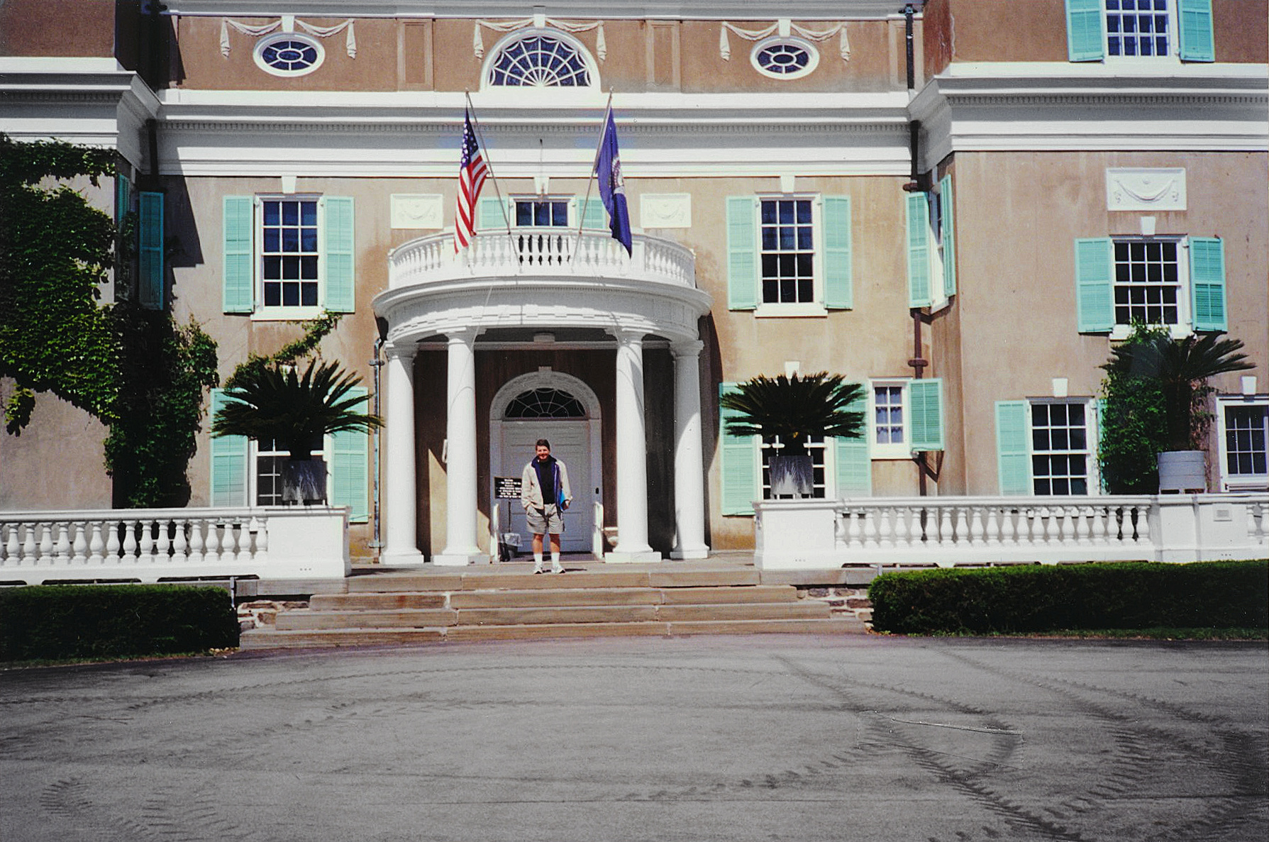
June 2000 — Springwood, the Home of Franklin D. Roosevelt in Hyde Park, New York. We were the first visitors that morning for the tour of the estate where Franklin D. Roosevelt (1882–1945), 32nd president, was born, lived as husband, father, and grandfather, and—beside Eleanor Roosevelt—is buried. The house and grounds witnessed the defining turns of his life: his 1921 diagnosis of polio at age 39, which left him without full use of his legs, and his 1932 election to the presidency as the nation struggled through the Great Depression. Throughout his presidency, including the vast mobilization of World War II, Roosevelt returned to Springwood to work, host visitors, and spend restorative time among family.
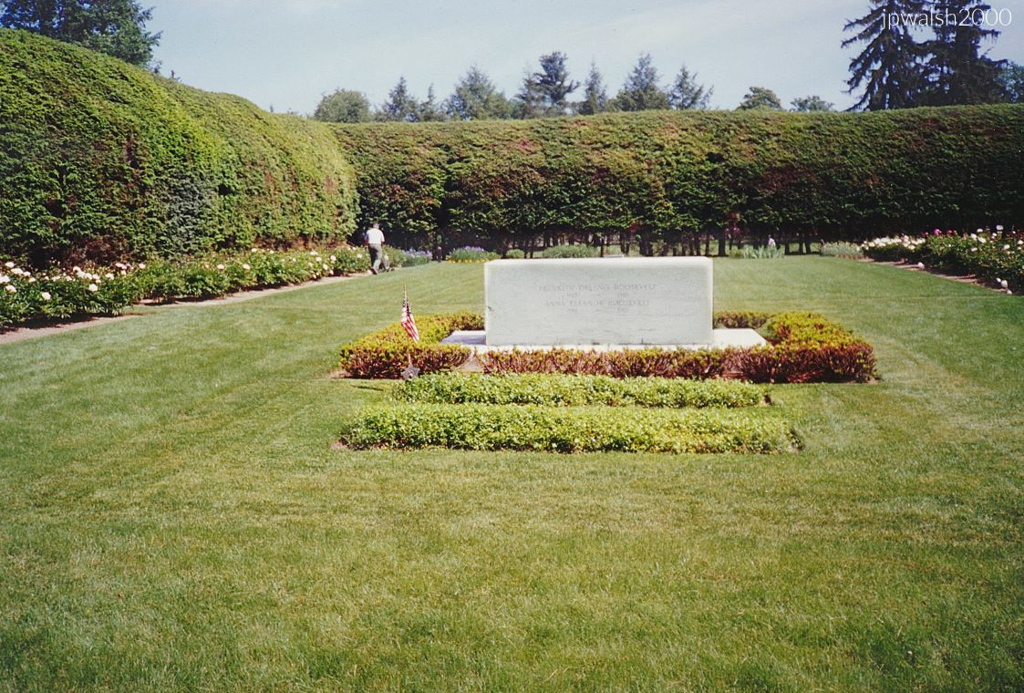
June 2000 — Franklin D. Roosevelt and Eleanor Roosevelt are buried together in the Rose Garden at Springwood, their Hyde Park estate. The gravesite’s striking modesty—a flat white marble marker enclosed by a low hemlock hedge—was specified in detail by Franklin D. Roosevelt in a memorandum dated December 26, 1937, including the exact text to be carved on the south face of the stone and his request that Eleanor be buried beside him. The site sits only steps from his lifelong home.
At Roosevelt’s burial on April 15, 1945, attendees included the Roosevelt family, new President Harry S Truman, members of FDR’s wartime cabinet, Supreme Court justices, and foreign diplomats. At Eleanor Roosevelt’s burial on November 10, 1962, the Roosevelt family gathered again with Chief Justice Earl Warren, UN Ambassador Adlai Stevenson, former New York Governor Averell Harriman, and four U.S. presidents—Kennedy, Truman, Eisenhower, and Johnson.
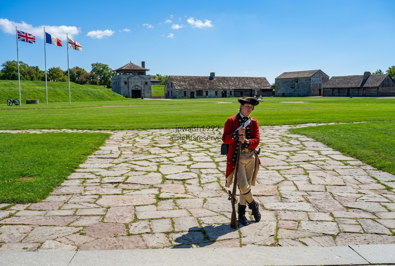
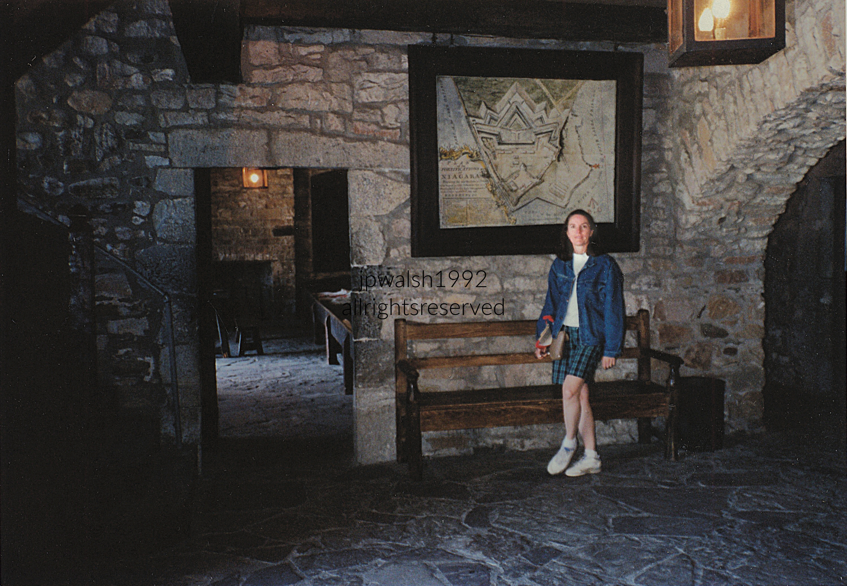
New York — Fort Niagara (1726), Youngstown (June 1992):


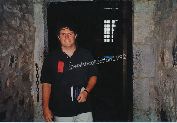
New York — Fort Ticonderoga (1757), Lake Champlain (June 1992):

June 2000 — Constructed originally by the French as Fort Carillon between 1755 and 1757 during the French and Indian War, the interior courtyard and stone barracks of Fort Ticonderoga (above and below photographs) are strategically located at a chokepoint on Lake Champlain, controlling the vital river portages between Lake George and Lake Champlain.
During the French and Indian War, the fort withstood a massive frontal assault in 1758 by a British army twice its size during the famous Battle of Carillon. During the American Revolution, on May 10, 1775, Ethan Allen, Benedict Arnold, and the Green Mountain Boys launched a surprise dawn raid, capturing a small British garrison in the first major rebel victory of the Revolutionary War.
The original heavy cannons captured by the Americans were hauled through the winter snow approximately 300 miles to break the British Siege of Boston. The guns on display today are authentic 18th-century weapons meticulously collected from around the world during the 20th-century reconstruction of the fort.

June 2000 —The South Bastion (below) looks out over the waters of Lake Champlain in upstate New York. Directly below the rampart lies the narrow strategic choke point where Lake George empties into Lake Champlain via the La Chute River — the critical passage that made this fort one of the most contested military landscapes in early American history.
The stone ramparts are lined with 18th‑century artillery, part of Fort Ticonderoga’s extensive historic collection, still positioned to command the corridor that once determined control of the northern frontier.

West Virginia — State Capitol Building (1932), Charleston (June 2001):
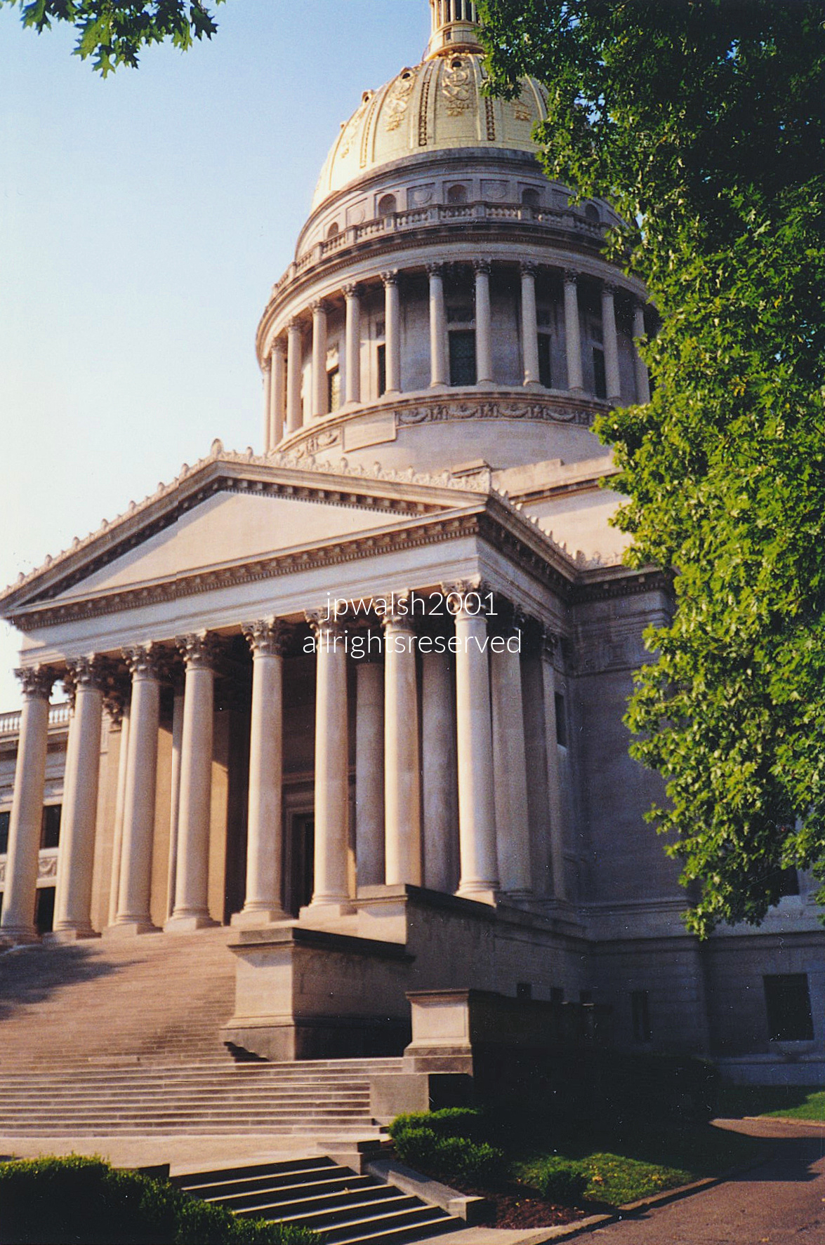
June 2001 — The West Virginia State Capitol Building in Charleston stands along the Kanawha River. Designed by architect Cass Gilbert, the buff‑limestone structure was dedicated in 1932 and houses the state legislature and Governor’s offices. The 293-foot height of the dome of the West Virginia Capitol Building in Charleston, West Virginia, is five feet taller than the dome of the United States Capitol. The dome is covered in copper and gold leaf. The dome was originally gilded by Mack Jenney and Tyler Company. Gilbert’s major works also include the Woolworth Building, the United States Supreme Court Building, the Minnesota and Arkansas state capitols, the Detroit Public Library, and the Saint Louis Art Museum and Public Library. see – https://generalservices.wv.gov/history-of-the-capitol/Pages/default.aspx – retrieved February 22, 2024.
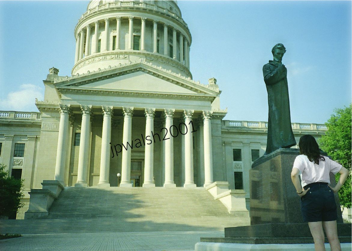
“Abraham Lincoln Walks at Midnight”
On the Capitol grounds stands the Lincoln statue by Fred Torrey (1884–1967), dedicated in June 1974. The brooding, ethereal figure is based on the poem Abraham Lincoln Walks at Midnight by Springfield, Illinois poet Vachel Lindsay (1879–1931).
Fred Torrey (above) was born in Fairmont, West Virginia, and studied sculpture at the School of the Art Institute of Chicago under Irish‑born Charles J. Mulligan (1866–1916), head of the school’s sculpture department and former apprentice to sculptor Lorado Taft (1860–1936).
Washington, D.C. — Robert F. Kennedy gravesite, Arlington National Cemetery (June 2001):

June 2001 — In Arlington National Cemetery, Robert F. Kennedy’s gravesite is marked by a deliberately modest memorial: a simple white oak cross and a granite footstone set into a grassy knoll. The former New York senator and U.S. Attorney General rests directly beside his brother President John F. Kennedy’s eternal flame. Because Arlington is a federal military cemetery, plots cannot be privately purchased; RFK earned his place through his World War II service. In 2024, his wife Ethel Skakel Kennedy was buried beside him, reuniting the couple 56 years after his assassination.
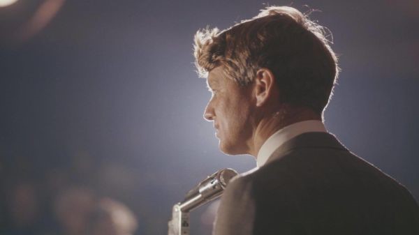
Washington, D.C. — Lincoln Memorial and National Mall (June 2001):

Origins of the Landscape Until the late 19th century, the waters of the Potomac River reached close to the base of the Washington Monument. In Pierre L’Enfant’s 1791 plan, the National Mall was conceived as a broad public “Grand Avenue,” but his layout mathematically terminated exactly where the Washington Monument stands today.
Creating New Ground The land where the Reflecting Pool and Lincoln Memorial now sit did not exist in L’Enfant’s era (it was a tidal swamp). Between 1870 and 1911, the Army Corps of Engineers dredged millions of cubic yards of mud from the Potomac River and used it to build West Potomac Park, extending the Mall southward and transforming a muddy flat into a future civic landscape.
Building the Lincoln Memorial Architect Henry Bacon designed the Lincoln Memorial, with construction beginning in 1915. The memorial was formally dedicated on May 30, 1922, establishing the western anchor of the Mall’s monumental axis.
Designing the Reflecting Pool Excavation for the Reflecting Pool began in March 1920. Bacon designed it to echo the long pools of the Taj Mahal, creating a ceremonial mirror between the Washington Monument and the Lincoln Memorial. Completed in 1923, the pool visually and symbolically connects the two monuments.

In June 2001, the United States was moving through a distinct cultural, political, and economic moment, unaware of the historic transformations that would arrive just months later with 9/11. On June 5, Vermont Senator Jim Jeffords left the Republican Party to become an Independent and began caucusing with the Democrats, immediately ending the GOP’s narrow Senate majority and shifting control of the chamber at the outset of the new Bush Administration. Two days later, on June 7, President George W. Bush signed the first round of the Bush tax cuts into law. On June 11, Oklahoma City bomber Timothy McVeigh was executed by lethal injection at the federal penitentiary in Terre Haute, marking the first federal execution since 1963; McVeigh’s attack was an act of violent extremism responsible for severe harm and loss of life. Visitors to Washington, D.C., that June were still carrying portable CD players and shooting vacation photos on 35mm film, unaware of how quickly the era was about to change.
Washington, D.C. — Korean War Veterans National Memorial, Dedicated 1995 (June 2001).
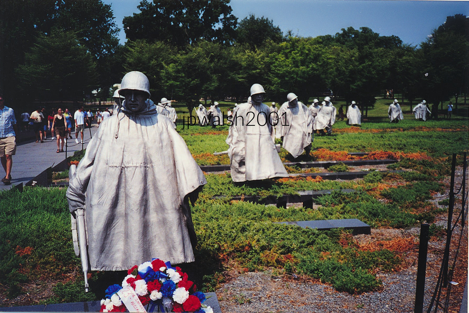
Location The memorial stands on the National Mall, just south of the Lincoln Memorial and the Reflecting Pool.
Design and Statues The triangular memorial, designed by Cooper‑Lecky Architects, features 19 larger‑than‑life stainless‑steel statues, each weighing about half a ton. They represent service members from all four branches of the U.S. military — Army, Navy, Air Force, and Marine Corps — moving through a natural landscape meant to evoke Korea’s terrain.
Wall of Remembrance Along one side runs a 164‑foot granite wall bearing thousands of sandblasted images of soldiers and frontline personnel. The wall carries the inscription “FREEDOM IS NOT FREE.”
United Nations Wall A shorter wall opposite the statues lists the U.N. member nations that provided troops, medical support, or supplies to aid South Korea.
Pool of Remembrance The memorial’s path leads to a quiet pool of remembrance, offering a reflective space at the terminus of the design.
Historical Context The Korean War resulted in 33,686 U.S. battle deaths between 1950 and 1953. see – https://bensguide.gpo.gov/j-korean-war-vets-memorial – retrieved May 25, 2025.
Washington, D.C. — Ford’s Theatre (1865) (October 2003):
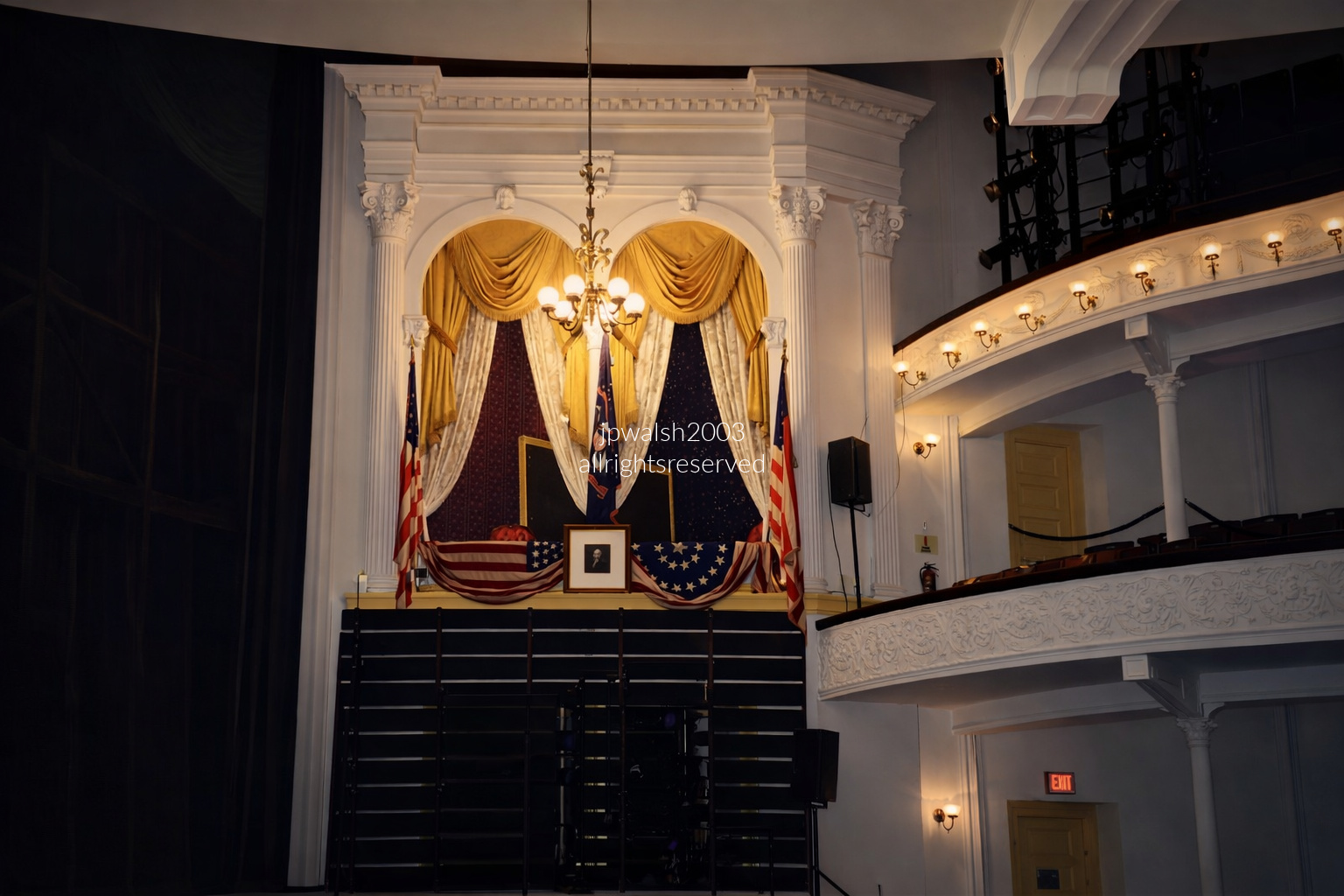
My first time inside Ford’s Theatre was in the early 1970s. Returning in October 2003, the space carried the same weight of its defining moment in American history. In the original 1865 layout, a lower pair of seating boxes—Boxes 5 and 6—sat directly beneath the Presidential Box. When the theatre was rebuilt and modernized, that level became structural wall space to improve stage access and conceal technical hardware behind painted slats seen in the photograph which also shows the Presidential Box before the multi‑million‑dollar modernization of 2007–2009.
By autumn 2003, Ford’s Theatre was in transition. Its longtime executive producer Frankie Hewitt, who led the 1968 restoration campaign, had died in February 2003. That fall, Paul R. Tetreault became Producing Director, a post he continues to hold.
Assassination Night — April 14, 1865
On Good Friday evening, April 14, 1865—just after the Civil War’s end—President Abraham Lincoln was shot in the theatre’s box while watching Our American Cousin. With him were Mary Todd Lincoln, Major Henry R. Rathbone, and Clara Harris.
Booth’s Attack
Actor John Wilkes Booth entered the box—no guard stood outside—armed with pistol and dagger. He fired into Lincoln’s head, slashed Rathbone’s arm, then leapt to the stage shouting “Sic semper tyrannis.” His spur caught on the flag, breaking his leg, yet he escaped on horseback.
Lincoln’s Final Hours
The bullet entered near Lincoln’s left ear and lodged behind his right eye. Unconscious, he was carried across 10th Street to the Petersen House, where Cabinet members and officers kept vigil. At 7:22 a.m. on April 15, 1865, Lincoln died. With Mary Todd Lincoln inconsolable, Secretary of War Edwin Stanton declared: “Now he belongs to the ages.”
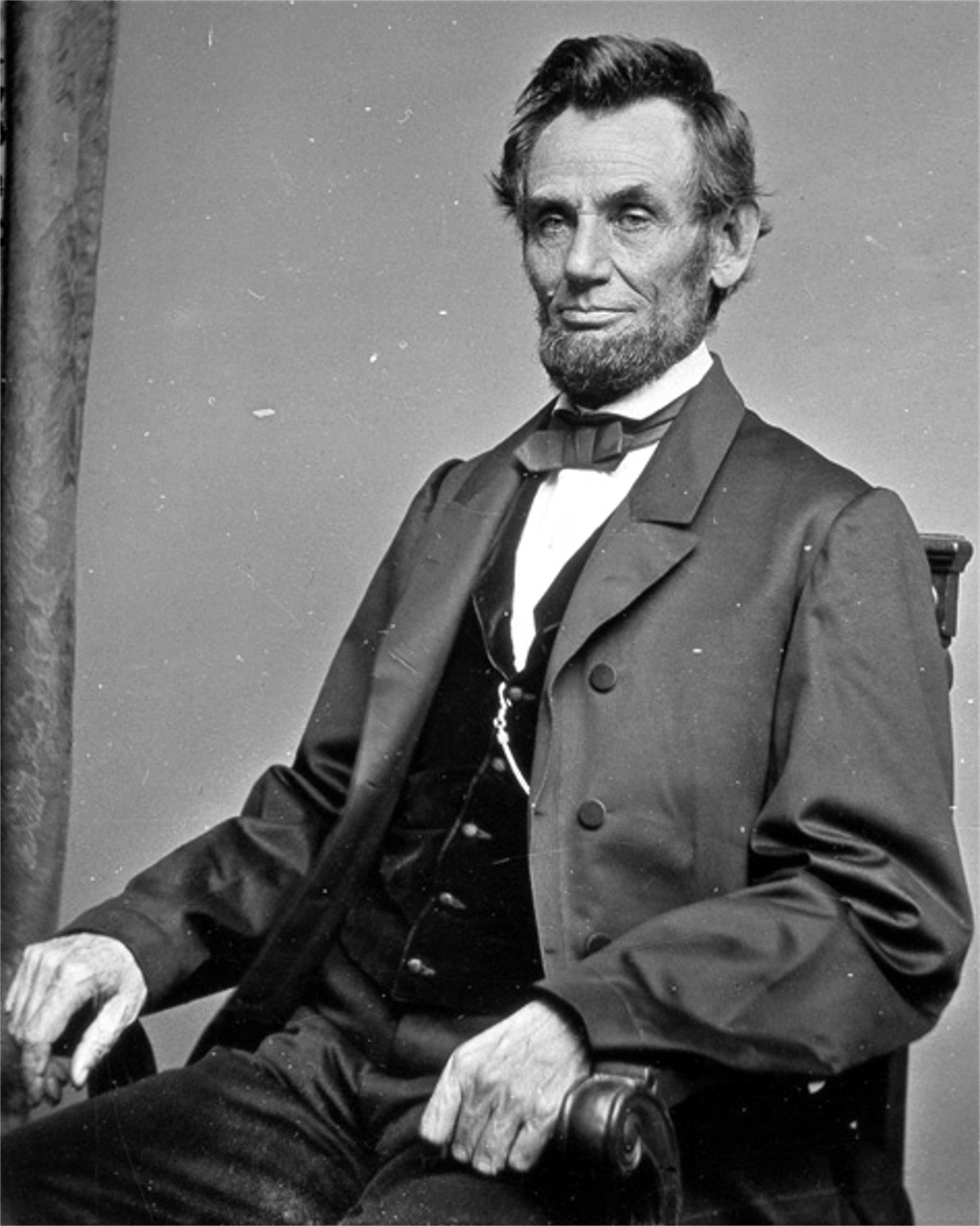
Washington, D.C. — President Lincoln’s Cottage (1862-64), The Soldiers’ Home (June 2008):

Gothic Revival Retreat Built in 1842 in the Gothic Revival style and originally known as the Anderson Cottage, the house served as President Abraham Lincoln’s summer residence from 1862 to 1864. He used it to escape the heat, pressures, and crowds of downtown Washington.
Setting and Significance Located on the grounds of the Armed Forces Retirement Home, about three miles north of the White House, the cottage is where Lincoln formulated and drafted the preliminary Emancipation Proclamation in the summer of 1862. Its veranda and modest scale gave the rustic, intimate atmosphere that contrasted sharply with the White House’s massive stone form.
Daily Commute Lincoln traveled between the White House and the cottage on horseback or by carriage—a 45‑minute ride. His route carried him northeast from the White House up Vermont Avenue toward Logan Circle, then onto Rhode Island Avenue NW to reach today’s Georgia Avenue. From there he continued north to Rock Creek Church Road and entered the Soldiers’ Home grounds through the Eagle Gate.
Threats and Witnesses In August 1864, a sniper fired at Lincoln near the Soldiers’ Home gates, shooting his top hat off as he rode alone. Poet Walt Whitman, who lived along the route, wrote of frequently seeing the President pass by, later escorted by a small cavalry guard as the war intensified.
Washington, D.C. — Thomas Circle (1792) and National City Christian Church (1930) (June 2008):
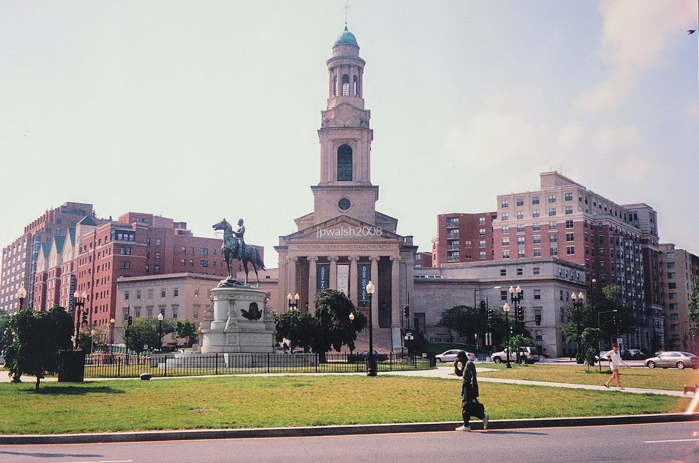
Origins and Early Planning Mapped in 1792 as part of Pierre L’Enfant’s original plan for the capital, Thomas Circle has long served as a key urban hinge point where Downtown meets Logan Circle.
Namesake and Monument The circle is named for George Henry Thomas, Union general in the Civil War. His equestrian statue, dedicated in 1879, anchors the center of the historic traffic circle.
National City Christian Church Rising over the northwest edge of the circle is National City Christian Church, an imposing Neoclassical landmark completed in 1930. Its monumental façade and soaring presence form one of the most commanding religious structures in the city.
Together, the historic circle and the cathedral create a vivid meeting point of early American civic design and 20th‑century monumental religious architecture, shaping one of Washington’s most distinctive urban vistas.
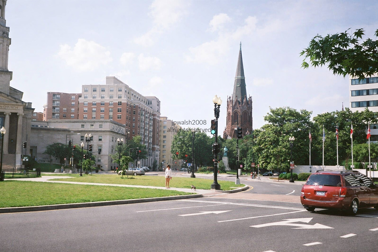
Looking north across Thomas Circle in Washington, D.C., 14th Street, Vermont Avenue, and Massachusetts Avenue meet at a bright, sunlit junction. A red SUV waits at the crosswalk while a pedestrian and her dog move across the grassy median. To the left stands the neoclassical portico of National City Christian Church.
Straight ahead, nestled in the trees, is the bronze statue of Martin Luther, cast in Germany and dedicated in 1884 as a gift to the congregation. Behind it rises the sharp silhouette of Luther Place Memorial Church, built from 1873 to 1875 in red Seneca sandstone—the same warm, dark stone used for the Smithsonian Castle. Conceived as a post‑Civil War monument to peace and reconciliation, the church’s spired design drives the eye upward toward its copper‑clad central tower, now green with age. A 1904 fire destroyed the roof and the original 180‑foot spire, but the structure was rebuilt, preserving its status as a defining landmark along the 14th Street corridor.

June 2008 — Deb stands on the sidewalk along 13th Street NW near M Street in Washington, D.C. North up 13th Street lies Logan Circle and the Mary McLeod Bethune Council House. Just behind and to the photographer’s left is Thomas Circle, an historic gateway marking the transition from Downtown Washington to the late‑19th‑century residential district of Logan Circle, known for its preserved Victorian High Gothic and Romanesque Revival architecture.
Washington, D.C. — The Mary McLeod Bethune Council House, 1318 Vermont Avenue NW (June 2008):

June 2008 — The Mary McLeod Bethune Council House at 1318 Vermont Avenue NW in Washington, D.C., is a National Historic Site that served as the first headquarters of the National Council of Negro Women. From 1943 to 1949 it was the primary residence of educator and civil‑rights leader Mary McLeod Bethune, making the house a central organizing space for Black women’s labor, political advocacy, and civil‑rights activism.

July 2007 — Friendship Archway at H Street NW and 7th Street NW, Chinatown, Washington, D.C. Dedicated in 1986, this traditional Chinese paifang is one of the largest single‑span archways of its kind in the world, decorated with more than 7,000 tiles and intricate dragon motifs. It stands directly at the entrance to the Gallery Place–Chinatown Metro station, marking the neighborhood’s most recognizable gateway.
Washington, D.C. — U.S. Capitol Building (July 1975):
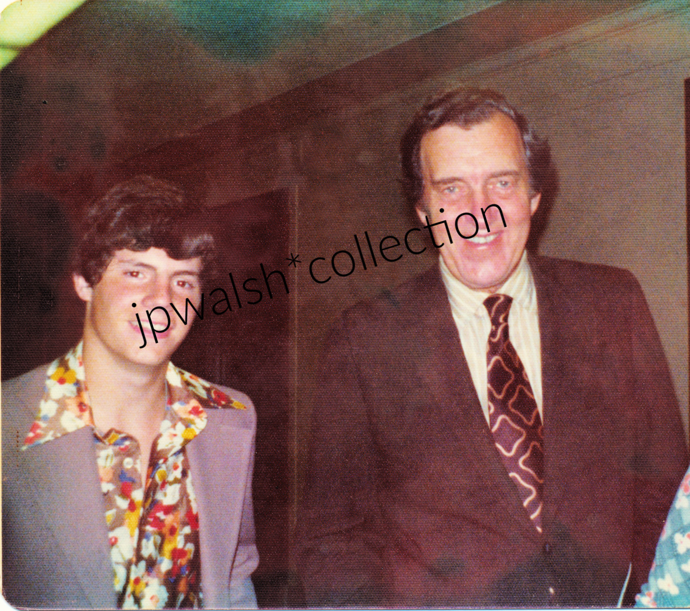
July 1975 – U.S. Capitol, Washington, D.C. Author with longtime Maine senator Edmund Muskie, then serving as chair of the Senate Budget Committee. On that same visit, I also met Sen. Ted Kennedy, who happened to sit directly beside me as he delivered remarks in a packed Senate conference room. I was on the Hill with my dad, who had business there — and yes, I really was wearing one of those unmistakable mid‑1970s disco shirts.
Washington, D.C. — John F. Kennedy Family House (1957), 3307 N Street, Georgetown (October 2003):
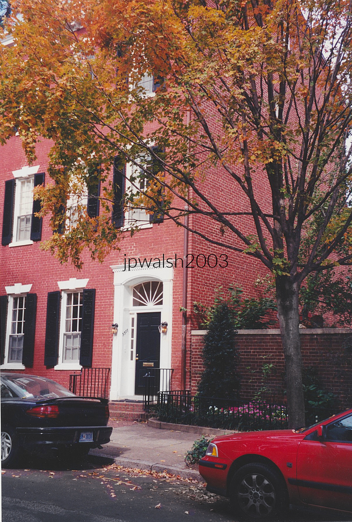
June 1957 — A Georgetown Purchase In June 1957, Massachusetts Senator John F. Kennedy bought this three‑story Federal‑style house as a gift for his wife, Jacqueline Kennedy after the birth of their daughter, Caroline. Their son, John Jr., was also born while the family lived here.
Campaign Life at 3307 N Street During JFK’s 1958 Senate re‑election and the 1960 presidential campaign, Jackie hosted teas in the home’s double living room. The front entrance became nationally recognizable when President‑elect Kennedy stepped outside to announce major appointments — including naming his younger brother and campaign manager, Robert F. Kennedy as U.S. Attorney General.
January 20, 1961 — Departure for History On the morning of January 20, 1961, Kennedy famously left from this doorstep to travel to the U.S. Capitol for his swearing‑in as the 35th President of the United States. The house was sold later that year when the family moved into the White House.
Early 19th‑Century Origins Beyond its presidential associations, the home was originally built in 1811–12 for William Marbury (1762–1835), the financier and plaintiff in the landmark 1803 Supreme Court case Marbury v. Madison — the decision that established the foundational principle of judicial review.
The Garden Refuge The Kennedys used the brick‑walled garden at 3307 N Street as a quiet refuge, especially during the 1960 campaign. With JFK traveling constantly, he rarely found time for his painting hobby, though he did spend occasional Sunday afternoons in the garden with Jackie and Caroline, away from the public spotlight.
Aesthetic Balance Inside the home, Jackie’s classical European taste was balanced with historical maritime art and paintings of naval vessels — a nod to Kennedy’s U.S. Navy service and lifelong passion for the sea.
Washington, D.C. — Thomas Jefferson Memorial (1943) (October 2003):
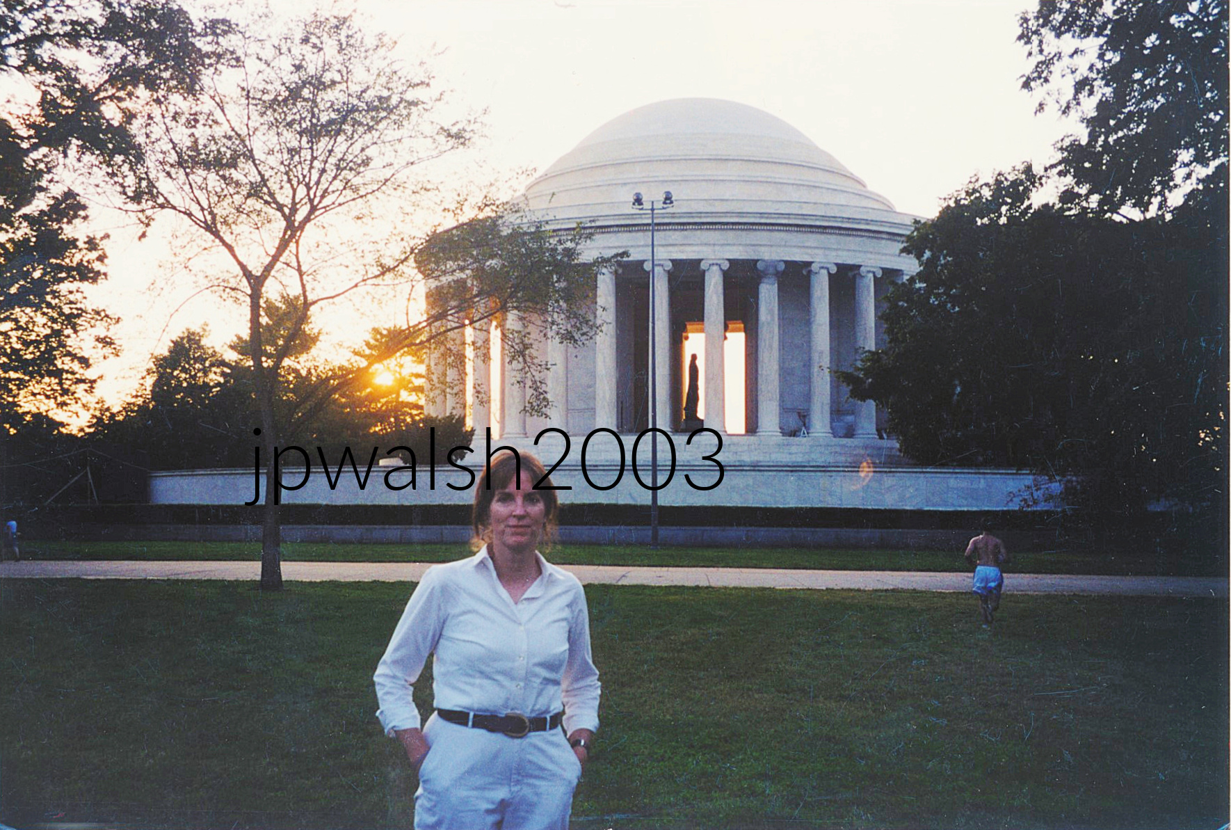
October 2003 — Jefferson Memorial, West Potomac Park, Washington, D.C. Set along the south shore of the Tidal Basin, the Jefferson Memorial rises behind my wife in warm late‑day light, its Pantheon‑inspired dome and colonnade designed by architect John Russell Pope. Inside stands the 19‑foot bronze statue of Thomas Jefferson by Rudolph Evans, encircled by passages from his freedom‑focused writings. In October, the landscape has shifted from spring’s cherry blossoms to autumn foliage, its muted colors mirrored across the waters and settling into the season’s calm.
Washington, D.C. — US Marine Corps War Memorial (November 1954), near Arlington National Cemetery (October 2003):
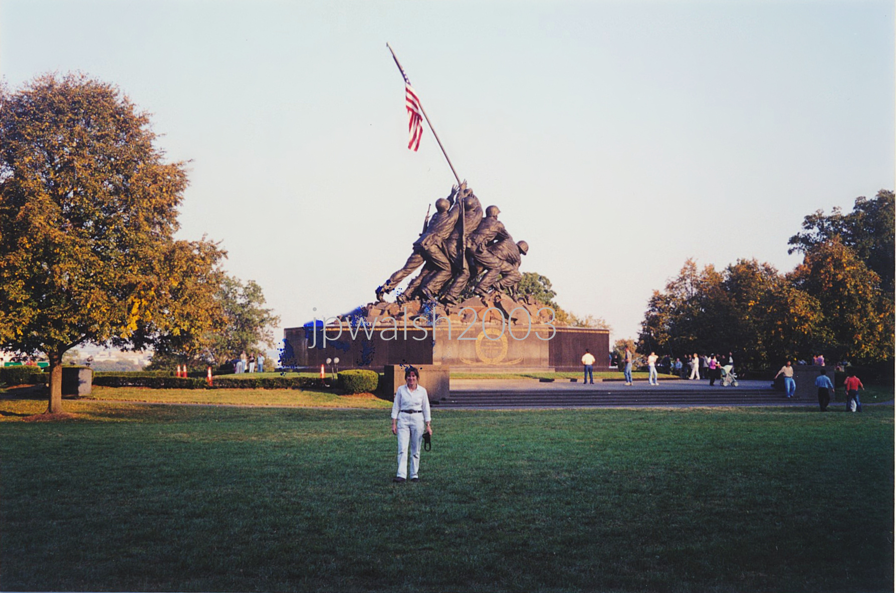
October 2003 — U.S. Marine Corps War Memorial The U.S. Marine Corps War Memorial in Arlington, near Washington, D.C., commemorates all Marines who have given their lives in defense of the United States since 1775. The memorial was unveiled in November 1954.
The Sculpture The centerpiece is the colossal bronze group by Felix de Weldon (1907–2003), depicting the six Marines who raised the second, larger American flag atop Mount Suribachi on February 23, 1945. The memorial’s design was created by Horace Whittier Peaslee Jr. (1884–1959).
The Rosenthal Photograph De Weldon’s sculpture is based on the iconic Associated Press photograph taken by Joe Rosenthal (1911–2006) on February 23, 1945, during the opening days of the five‑week Battle of Iwo Jima (February 19–March 26, 1945). First flashed around the world on February 25, 1945, the image quickly became a defining symbol of the American war effort in the Pacific.
The Flag Raisers The six Marines in the sculpture—identified as a sergeant, two corporals, and three privates first class—represent the men captured in Rosenthal’s photograph and memorialized in de Weldon’s composition.
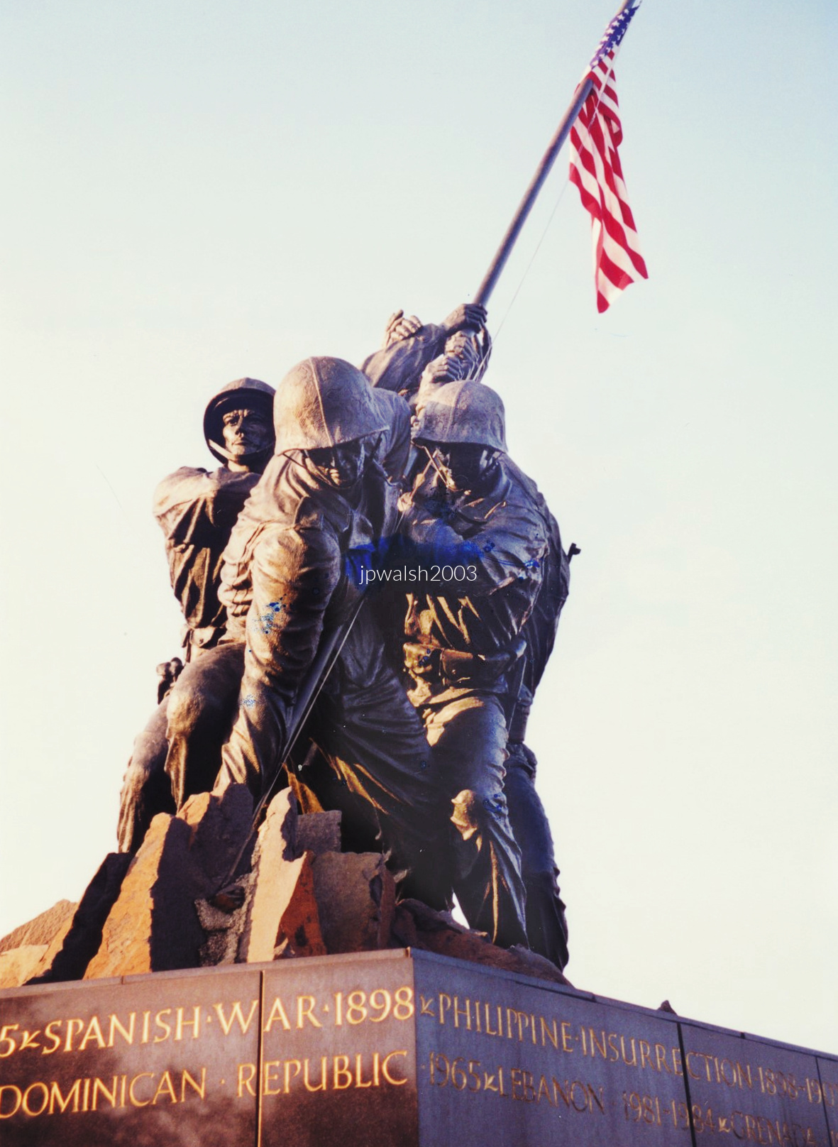
Washington, D.C. — Frederick Douglass National Historic Site (Cedar Hill), Anacostia (July 2007):
Home of famed abolitionist, orator, and statesman Frederick Douglass, who purchased the estate in 1877 and lived there until his death in 1895.

July 2007 — Frederick Douglass’s personal library at Cedar Hill. The room centers on his original oak roll‑top desk, where he drafted speeches, letters, and the autobiographies that shaped his public legacy. To the right stands his large glass‑front bookcase, holding part of the extensive collection he assembled over a lifetime of reading and advocacy.

July 2007 — Dining room inside the Frederick Douglass National Historic Site (Cedar Hill). Through the left doorway is a glimpse of the adjacent parlor, and through the right, the home’s central staircase leading to the upstairs bedrooms. Douglass used this dining room to host a steady flow of civil rights leaders, politicians, family members, and activists. Notable guests included Susan B. Anthony, Elizabeth Cady Stanton, Ida B. Wells, and Robert Purvis.
Massachusetts — Old House at Peacefield (Adams National Historical Park), Quincy (July 1989):
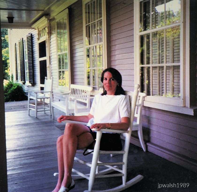
July 1989 — Bride on the front porch of the John Adams Old House at Peacefield, 135 Adams Street, Quincy, Massachusetts. Home to four generations of the Adams family and to the Stone Library, Peacefield was purchased in 1787 by John and Abigail Adams.
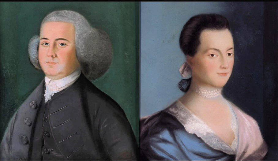
These companion pastel‑on‑paper portraits are the earliest known likenesses of John Adams (1735-1826), 2nd U.S. president and Abigail Smith Adams (1765-1818). Painted by Salem pastellist Benjamin Blyth (1746-1811), they were commissioned shortly after the couple’s marriage on October 25, 1764. The works are held by the Massachusetts Historical Society in Boston.

July 1989 — Author at Peacefield. Both John and Abigail died here—Abigail on October 28, 1818, and John on July 4, 1826. The estate later housed their son, 6th U.S. president, John Quincy Adams, and his wife Louisa Catherine, followed by Charles Francis Adams and his sons, historians Henry and Brooks Adams.
In the 1841 Supreme Court case United States v. The Amistad, 73‑year‑old former President John Quincy Adams delivered a nine‑hour argument grounded not in the later constitutional abolition of slavery, but in natural law, core constitutional principles, and the long‑standing illegality of the international slave trade after 1808.
In Steven Spielberg’s 1997 film Amistad, Adams’s complex legal reasoning is distilled into a cinematic monologue. Portrayed by Anthony Hopkins, Adams speaks of ancestors—Cinqué’s belief in ancestral strength, and America’s own revolutionary forebears—urging the Court toward liberty. The scene culminates in his dramatic line: “And if it means civil war, then let it come.”
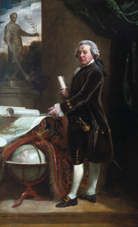
John Singleton Copley, John Adams (1735-1826), 1783. Oil on canvas. Harvard University Portrait Collection, Bequest of Ward Nicholas Boylston to Harvard College, 1828,
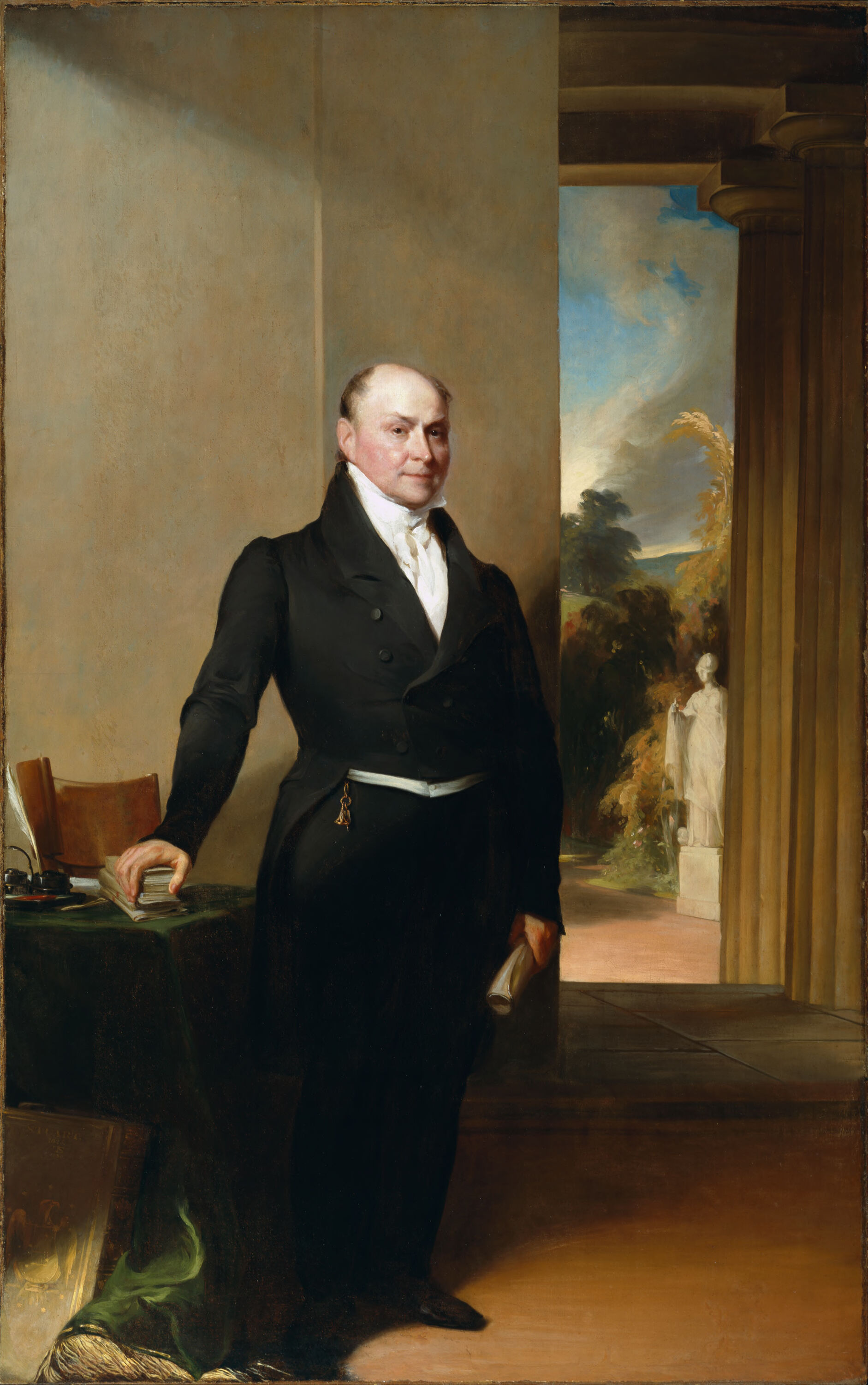
John Quincy Adams (1767–1848), 6th U.S. President. Portrait, 1828, by Gilbert Stuart and Thomas Sully, Harvard University Portrait Collection. Public Domain. This collaborative 1828 portrait is a rare “pendant” work linking the nation’s only father‑and‑son presidents. In Boston, Stuart painted Adams’s face directly from life but died in July 1828 before completing the canvas. In 1829, prominent Bostonians enlisted Sully to come to Boston to finish it; he painted the body, clothing, and background around Stuart’s original head study, without a sitting from Adams.
At the time, Adams was the sitting 6th President, enduring the brutal 1828 election campaign he would ultimately lose to Andrew Jackson. The portrait had been commissioned by Adams’s cousin, Ward Nicholas Boylston, who wanted a full‑length likeness to pair with John Singleton Copley’s 1783 portrait of John Adams. Sully intentionally echoed Copley’s composition so the two works could stand as visual anchors of the Adams family legacy at Harvard.
Massachusetts — Skyline, Boston (July 1989):
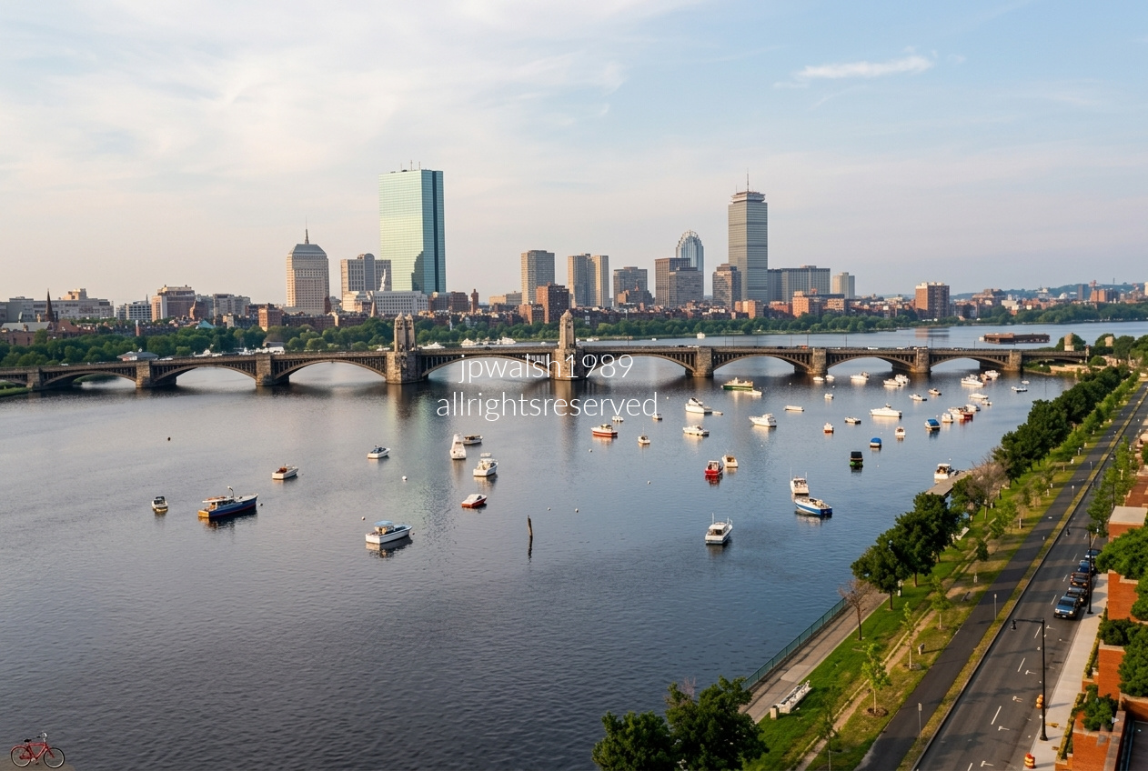
July 1989 — Boston skyline across the Charles River from our lodgings in Cambridge. The view centers on Back Bay, with a narrow green strip of the Charles River Esplanade running along the lower right, its walking paths and trees edging the water. Parallel to the river sits Storrow Drive, carrying traffic along the shoreline.
Crossing the Charles is the Longfellow Bridge—completed in 1906 by Edmund M. Wheelwright and renamed in 1927 for poet Henry Wadsworth Longfellow. Its stone arches and the pair of granite “salt and pepper shaker” towers mark one of Boston’s most recognizable spans. The site also holds significance in the American abolitionist movement as a crossing point associated with routes of the Underground Railroad leading toward freedom in Canada.
The skyline is anchored by the blue‑glass Hancock Tower, the tallest structure in the scene. To its right rises Prudential Tower with its rectangular mass and radio spire. Just beyond stands 111 Huntington Avenue, distinguished by its open‑frame dome. To the left of the Hancock Tower is the Berkeley Building (Old John Hancock Building), topped by its long‑familiar weather beacon introduced in 1950.
Massachusetts — Beacon Hill, Boston (July 1989):
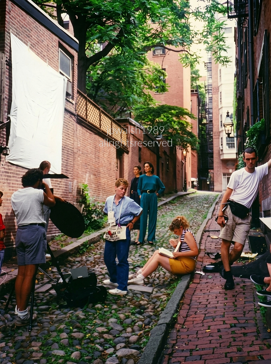
July 1989 — Branch Street, Boston, Massachusetts. A small production crew sets up along the narrow cobblestone lane, with a photographer at a tripod, assistants managing reflectors and light, and two subjects posed farther up the alley. Brick walls, overhead trees, and the tight scale of the passage give the scene its characteristic historic Boston texture, turning the cobbled street into an impromptu working set.
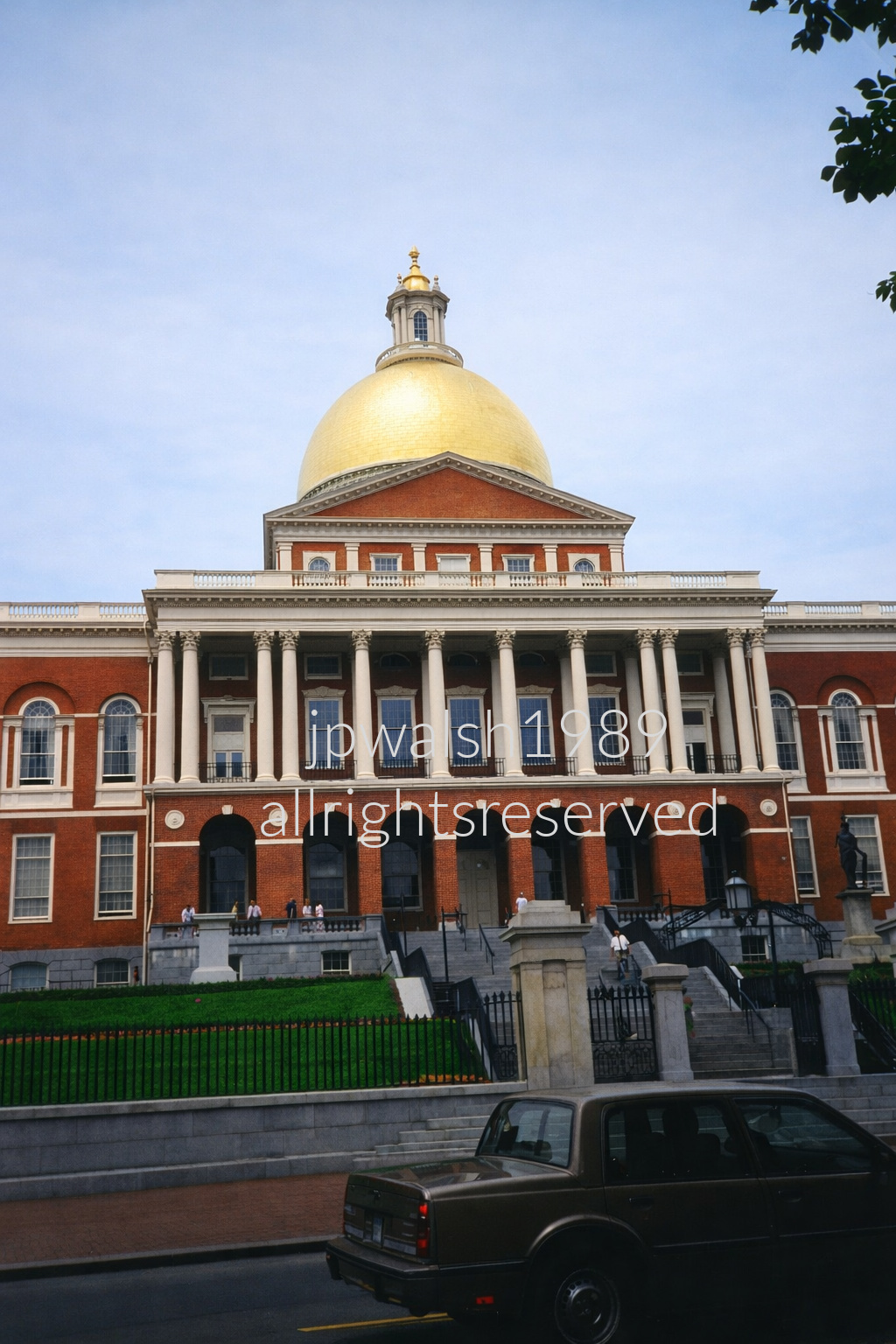
July 1989 — Charles Bulfinch (1763–1844), a Boston‑born architect, is widely regarded as the first native‑born American to practice architecture professionally. After Harvard, he traveled through Europe in the 1780s, studying Palladian and neoclassical design — the symmetry, domes, and columned façades that shaped Enlightenment civic architecture. He carried those principles home to a young republic looking for visual expressions of stability and order. His central achievement is the Massachusetts State House (above), built between 1795 and 1798. The site was once John Hancock’s cow pasture, part of his estate. After Hancock’s death in 1793, the Commonwealth purchased the land to establish a permanent seat of government. Before this new State House was built, Massachusetts’s government met in the Old State House at Washington and State Streets — now a central Revolutionary landmark.
By July 1989 when I took this photograph, the State House was midway through a major restoration that had begun in the mid‑1980s. The dome had recently been re‑gilded, and interior modernization was underway to preserve Bulfinch’s structure while updating offices for late‑20th‑century use. Governor Michael Dukakis — who had run and lost for U.S. president in 1988 — was completing his final term, and the building stood as a symbol of continuity: the same seat of government that had anchored Massachusetts since the late 18th century.
Boston in July 1989 was governed by Mayor Raymond Flynn, whose administration (1984–1993) emphasized racial healing, neighborhood equity, and populist economic policy. The broader political climate was defined by fiscal crisis. By early 1989, the “Massachusetts Miracle” had collapsed, leaving a $636 million budget shortfall and triggering battles between Dukakis and the legislature over spending and tax increases. In July 1989, Dukakis cut nearly $500 million in state spending, prompting protests from unions, municipalities, and social‑service advocates. The legislature simultaneously enacted a temporary 15% income‑tax increase, giving Massachusetts the highest tax rate in the country. These measures produced mass layoffs of teachers, firefighters, police, and thousands of state employees — consequences felt directly in Boston’s neighborhoods and city services.
Massachusetts — Union Oyster House, 1826, Boston (September 1991):
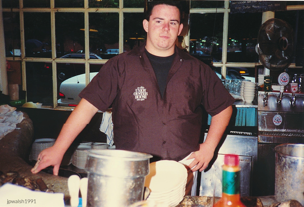
September 1991 — The first‑floor oyster bar at Ye Olde Union Oyster House, Boston, where Daniel Webster (1782–1852) was a constant customer. Webster’s long public career included service in the U.S. House, chairmanship of the Judiciary Committee, two Senate tenures, and the post of Secretary of State under three presidents. When the wait for a table runs long, the oyster bar remains a reliable spot for a quick meal. Upstairs, the restaurant preserves John F. Kennedy’s favored booth, a nod to the Kennedy family’s patronage of one of America’s oldest continuously operated eateries. see – https://theculturetrip.com/north-america/usa/massachusetts/articles/a-brief-history-of-union-oyster-house-americas-oldest-operating-restaurant – retrieved February 24, 2024.

Exterior of Ye Olde Union Oyster House, established 1826, Boston, Massachusetts. Every visit I make to Boston includes a stop here, a tradition since 1975. Located on the Freedom Trail near Faneuil Hall, the restaurant holds the distinction of being America’s oldest continuously operating dining establishment, housed in a pre‑Revolutionary building with its oyster bar and stalls still in their original positions—where Daniel Webster was a regular customer. Ye Olde Oyster House” by ArthurBowes is licensed under CC BY-SA 4.0.
Key Facts:
- Oldest U.S. restaurant — The Union Oyster House is the oldest restaurant in Boston and the oldest in continuous service in the United States.
- 1742 Capen shop — The building housed Hopestill Capen’s imported dress‑goods business, known as At the Sign of the Cornfields.
- Massachusetts Spy — In 1771 printer Isaiah Thomas published The Massachusetts Spy here, the oldest continuously published newspaper in the nation.
- Revolutionary pay station — In 1775 Deputy Paymaster‑General Ebenezer Hancock used the building as a Continental Army pay station. Hancock lived nearby at 10 Marshall Street in a house owned by his brother, John Hancock.
- Louis Philippe — In 1796 the future King of the French lived on the second floor while exiled, teaching French to Boston’s fashionable set.
- 1826 oyster bar — When Capen’s store closed, Atwood & Bacon opened the oyster house and installed the semi‑circular bar still in use today—where Webster famously ate dozens of oysters at a sitting.
- Webster’s career — Webster served as U.S. Representative, Senator, and Secretary of State under Presidents Harrison, Tyler, and Fillmore.
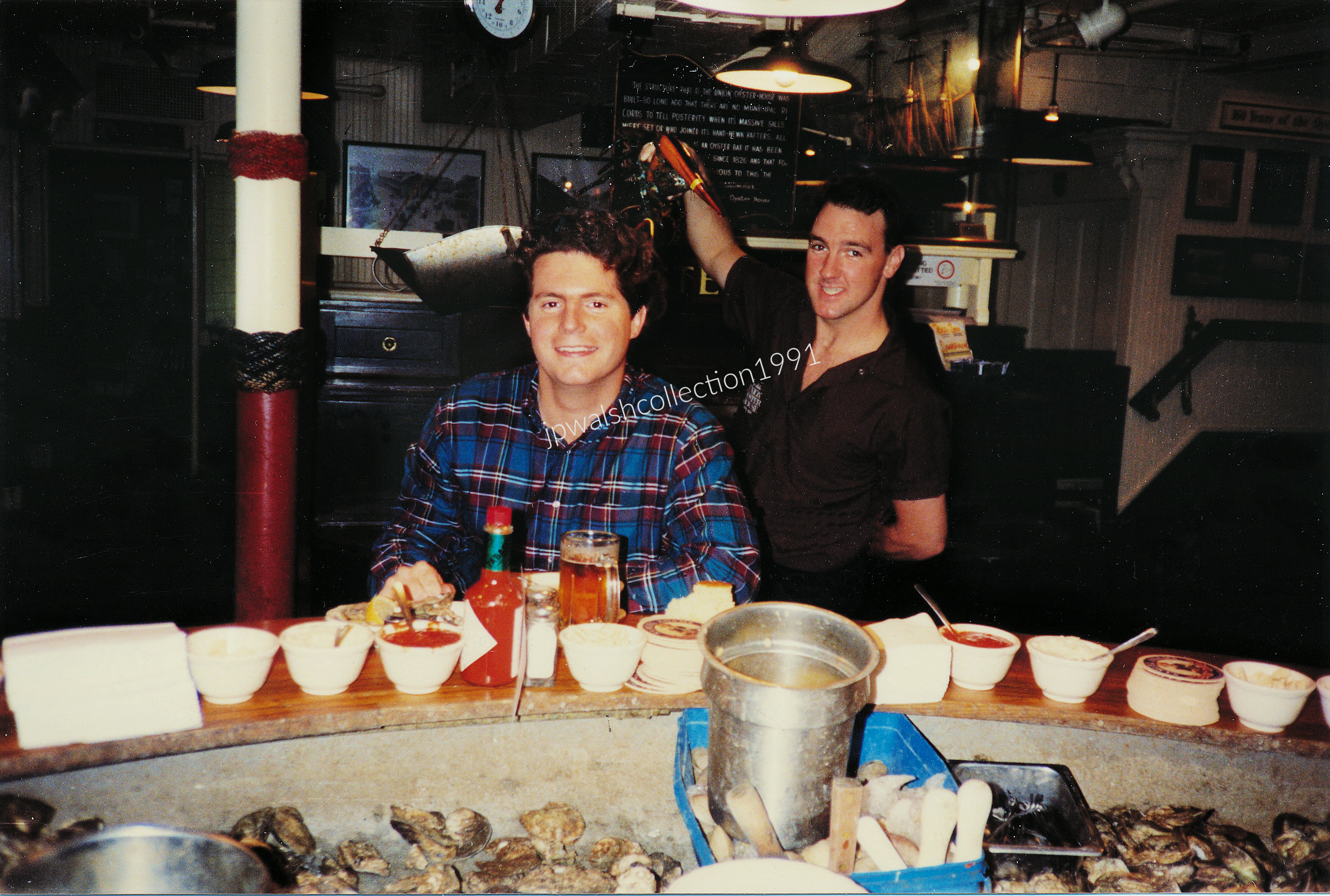
September 1991 — Me seated at the oyster bar of Ye Olde Union Oyster House (1826), Boston, Massachusetts. The first‑floor bar, lined with fresh oysters, tools, and the bustle of seafood service, is the same counter where Daniel Webster was a constant patron in the 19th century. In the photograph, a staff member hoists a lobster behind the counter while I sit opposite, beer and oysters at hand, taking in the atmosphere of America’s oldest continuously operating restaurant.

August 2005 — With Debbie at the oyster bar of Ye Olde Union Oyster House (1826), Boston, Massachusetts. One of many visits together over the years, this stop came during a “no‑reservations” East Coast drive that carried us through six states and several cities—Massachusetts, New York, New Jersey, Virginia, Washington, D.C., Maryland, and Delaware. The photograph shows us at the counter, mid‑meal, in the restaurant’s familiar bustle of shuckers, condiments, and clatter, a moment folded into decades of shared visits to America’s oldest continuously operating restaurant.
Massachusetts — Curley Memorial Plaza, Boston (July 1989):
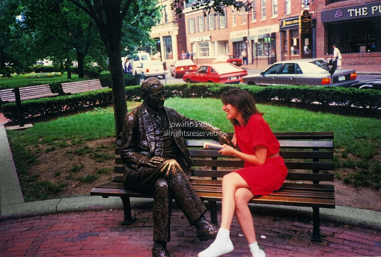
July 1989 — Deb on her honeymoon beside one of the two life‑sized bronze statues of Mayor James Michael Curley (1874–1958), created by local sculptor Lloyd Lillie. Curley—long one of Massachusetts’s most colorful and controversial political figures—served four terms as Mayor of Boston, a term as Governor, and two terms in Congress. A populist champion of working‑class Irish Catholic immigrants, he retained broad support even while serving part of his fourth mayoral term in federal prison on a mail‑fraud conviction.
The monument was installed in 1980, and both statues remain in their original configuration. The small brick‑paved plaza stands at Congress and North Streets, between Faneuil Hall Marketplace and Boston City Hall. In the upper right of the photograph appears signage for The Purple Shamrock, a long‑standing Irish pub that closed its Union Street location in 2012.
Massachusetts — John F. Kennedy Library, Columbia Point, Boston (June 1989):
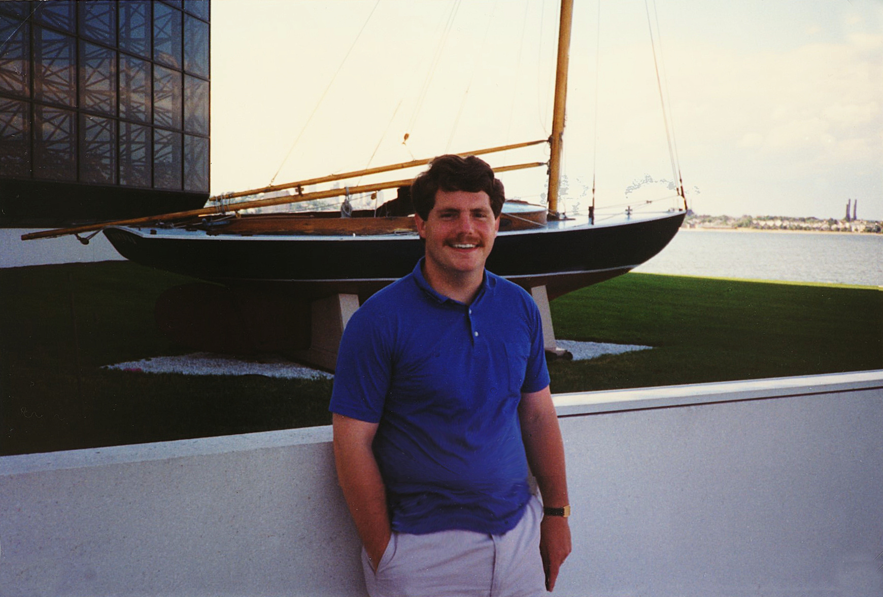
July 1989 — The author at the John F. Kennedy Library, Columbia Point, Boston, standing before JFK’s iconic sailboat. The year marked the Library’s tenth anniversary, a moment when the institution shifted from a young presidential repository into a fully established center of civic education, political legacy, and architectural study. Its most enduring milestone of 1989 was the formal creation of the Profile in Courage Award by members of the Kennedy family. Just five weeks before this photograph, Columbia Point hosted a major family gathering on May 25, 1989, attended by Jacqueline Kennedy Onassis, Senator Ted Kennedy, Caroline Kennedy, and John F. Kennedy Jr., underscoring the Library’s growing national prominence a decade after its opening.
Massachusetts — The John Fitzgerald Kennedy National Historic Site (Birthplace, 1917), Brookline, Massachusetts (July 1989) (August 2005):
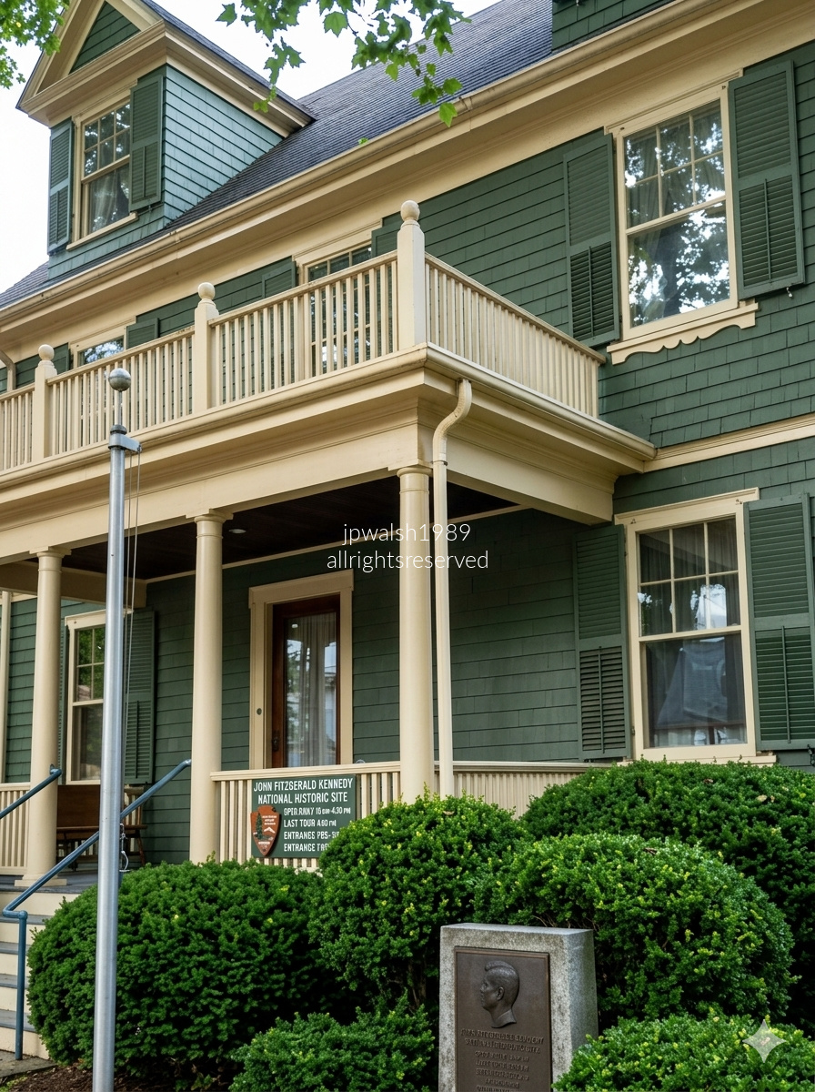
July 1989 — The John Fitzgerald Kennedy National Historic Site at 83 Beals Street preserves the birthplace and early childhood home of the 35th president. The house, built in 1909 by local architect‑builder Robert M. Goode, is a two‑and‑a‑half‑story Colonial Revival structure with a green‑shingled exterior, an asymmetric cross‑gabled roof, prominent dormers, and a front porch topped by an upper balustrade deck. It stands in Brookline’s Coolidge Corner neighborhood, a dense early‑20th‑century streetcar suburb of tree‑lined residential blocks bordering Boston.
Three Kennedy children were born in the second‑floor master bedroom: John F. Kennedy on May 29, 1917; Rosemary Kennedy on September 13, 1918; and Kathleen Kennedy on February 20, 1920. Their older brother, Joseph P. Kennedy Jr., was born in Hull, and the later five siblings — including Bobby and Ted — were born around the corner in the larger family home on Abbottsford Road.

August 2005 — The John Fitzgerald Kennedy National Historic Site in Brookline, Massachusetts—JFK’s birthplace and childhood home—stands on Beals Street in the Boston suburbs. Joseph Patrick Kennedy purchased the house in August 1914, just ahead of his October marriage to Rose Elizabeth Fitzgerald. A driven, opportunistic young bank president and businessman, he began building his fortune during World War I through shipbuilding contracts in the Quincy yards. In Brookline, Joe Kennedy was an affectionate father who fostered a spirited sense of competition among the Kennedy children, shaping the family ethos that would define their later public lives.
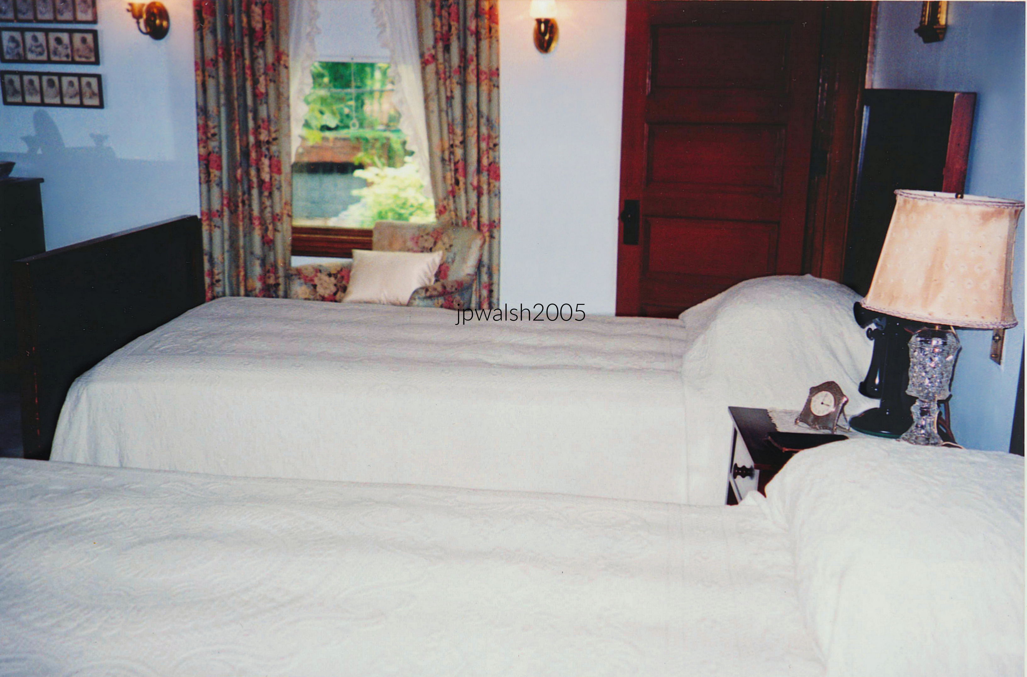
August 2005 — The John Fitzgerald Kennedy National Historic Site in Brookline, Massachusetts. John F. Kennedy was born in this upstairs master bedroom of this Beals Street home in the mid-afternoon (3 p.m.) on Tuesday, May 29, 1917, an unseasonably cold (44 degrees), overcast, and rainy day. The family lived on Beals Street until 1920, then moved a short walk away to a larger house on Abbottsford Road, where they remained until 1927 before relocating to New York. Rose Fitzgerald—daughter of Boston’s first American‑born Irish mayor—had seven of her nine children in Brookline and was reluctant to leave. John F. Kennedy was her second child and son.
In Brookline, Joe Kennedy, son of a local pol and saloonkeeper, instilled a competitive spirit in his children, while Rose, who had studied in Europe, taught them an appreciation for the arts and history. A devout Catholic, Rose took her children on weekday walks to market and then to church, reinforcing their faith as part of daily life, not just Sundays.
After Joseph P. Kennedy sold the Beals Street house to family friend Edward Moore, the property passed through several owners over the next four decades. Following JFK’s assassination in 1963, thousands of mourners visited the home, turning it into an impromptu pilgrimage site. In 1966, the current owners agreed to sell the house back to the Kennedy family so it could be preserved as a permanent memorial.
Rose Fitzgerald Kennedy then led a full restoration of the interior, working from her own memories and period décor to recreate the exact appearance of the home as it looked on the day John F. Kennedy was born in 1917. When the project was complete, the Kennedy family donated the property to the National Park Service in 1969, establishing what is now the John Fitzgerald Kennedy National Historic Site. Rose Kennedy said she gave the house to the American people so that “future generations will be able to visit it and see how people lived in 1917 and thus get a better appreciation of the history of this wonderful country.” see – https://www.nps.gov/jofi/index.htm – retrieved May 29, 2025.
Massachusetts — Lexington and Concord (July 1989):
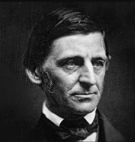
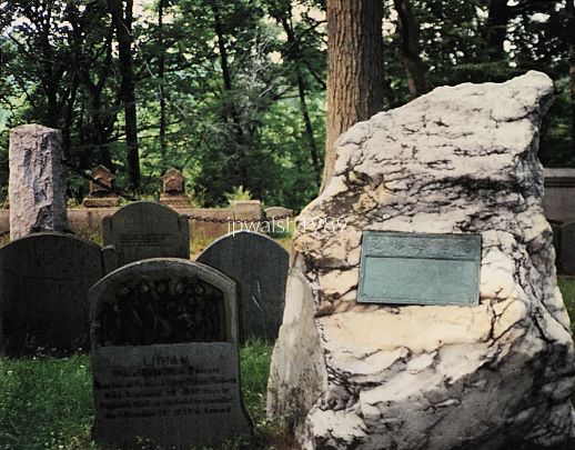
July 1989 — Ralph Waldo Emerson (1803–1882) gravesite, Sleepy Hollow Cemetery, Concord, Massachusetts. Often described as “the most iconoclastic thinker in nineteenth‑century America,” Emerson began as a minister, graduating from Harvard in 1821 and entering the clergy in 1829. After the death of his first wife in 1831, he left traditional ministry, traveled to England, and embraced Transcendentalism, turning to essays and public lectures on the nature of life, death, and the human spirit.
He published Nature in 1836, followed by major essay collections in 1841 and 1844, and served as editor of The Dial from 1842 to 1844. Over his lifetime, Emerson delivered thousands of lectures nationwide, often provoking controversy with his outspoken views—opposing Cherokee removal in the 1830s, condemning the Fugitive Slave Law of 1850, and supporting abolitionist candidates across New England.
Old Manse (1770)
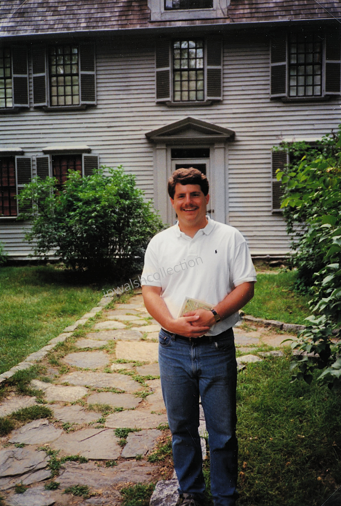
July 1989 — The author stands at the Old Manse in Concord, Massachusetts, a house on Monument Street with the Concord River behind it and the North Bridge—now part of Minute Man National Historical Park—beside the property. Built in 1770 for Rev. William Emerson, the home became central to the Emerson family line, including his son, minister William Emerson, and his grandson, Ralph Waldo Emerson. The elder Rev. Emerson served as Concord’s minister, chaplain to the Provincial Congress in 1774, and later chaplain to the Continental Army; he watched the fighting at the North Bridge from his fields while his family saw it from the upstairs windows. Decades later, Ralph Waldo Emerson drafted his foundational essay Nature here, and during his stay in the mid‑1830s he proposed to Lydia Jackson before the couple moved to what is now the Emerson House. Author’s collection.
Walden Pond
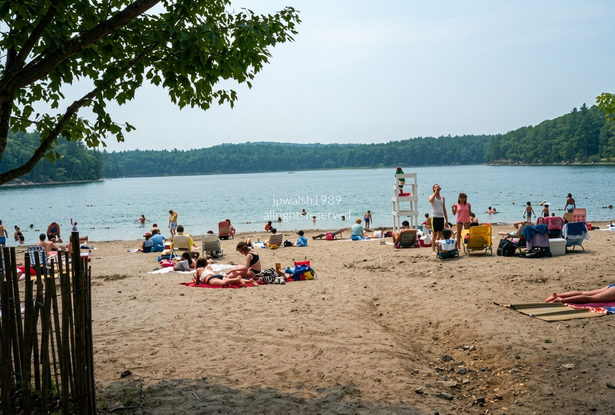
July 1989 — Henry David Thoreau published Walden; or, Life in the Woods on August 9, 1854. His cabin site, where he lived alone from July 1845 to September 1847, lies about a half‑mile from the present beach. The pond itself — a deep, 65‑acre glacial kettle hole — looked much as it does today, though the human landscape was radically different. In Thoreau’s era the area, used as a woodlot, was far more secluded; his neighbors were railroad workers, woodcutters, and a few marginalized families on Concord’s outskirts.
After Thoreau left, the Fitchburg Railroad built an amusement park on the shore, complete with a dance hall, food stands, and a boating dock. It burned in 1902. In 1922, descendants of Ralph Waldo Emerson and others deeded the land to the Commonwealth for public recreation. Today it operates as Walden Pond State Reservation, balancing historical preservation with heavy modern use.
The summer of 1989 — when this photo was taken — marked a contentious turning point. Developers had announced plans for an office park and condominium complex inside Walden Woods, only a short distance from the water. The proposal triggered intense opposition from environmentalists and literary historians. Just months later, in early 1990, musician Don Henley of the Eagles founded The Walden Woods Project, a high‑profile coalition that raised millions to purchase the threatened parcels, block construction, and protect the surrounding woods from suburban development.

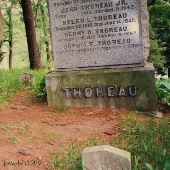
July 1989 — Henry D. Thoreau (1817–1862) gravesite, Sleepy Hollow Cemetery, Concord, Massachusetts. Thoreau, a naturalist and Transcendentalist writer, moved into his one‑room cabin at Walden Pond in 1845. He maintained a close relationship with fellow Transcendentalist Ralph Waldo Emerson, who is also buried here. Thoreau’s 1849 essay Civil Disobedience argued for principled resistance to an unjust state and became one of his most influential works.
Hancock–Clarke House (1738)

July 1989 — Hancock–Clarke House, 36 Hancock Street, Lexington, Massachusetts. Built in 1738 and standing less than half a mile from Lexington Green, the house served as the refuge where John Hancock and Samuel Adams spent the night before the opening clash of the Battle of Lexington and Concord on April 19, 1775. The residence—now a central landmark in Lexington’s Revolutionary landscape—anchors the story of the midnight alarm delivered by Paul Revere and William Dawes and the tense hours leading into the first shots of the American Revolution.
Buckman Tavern (1710)
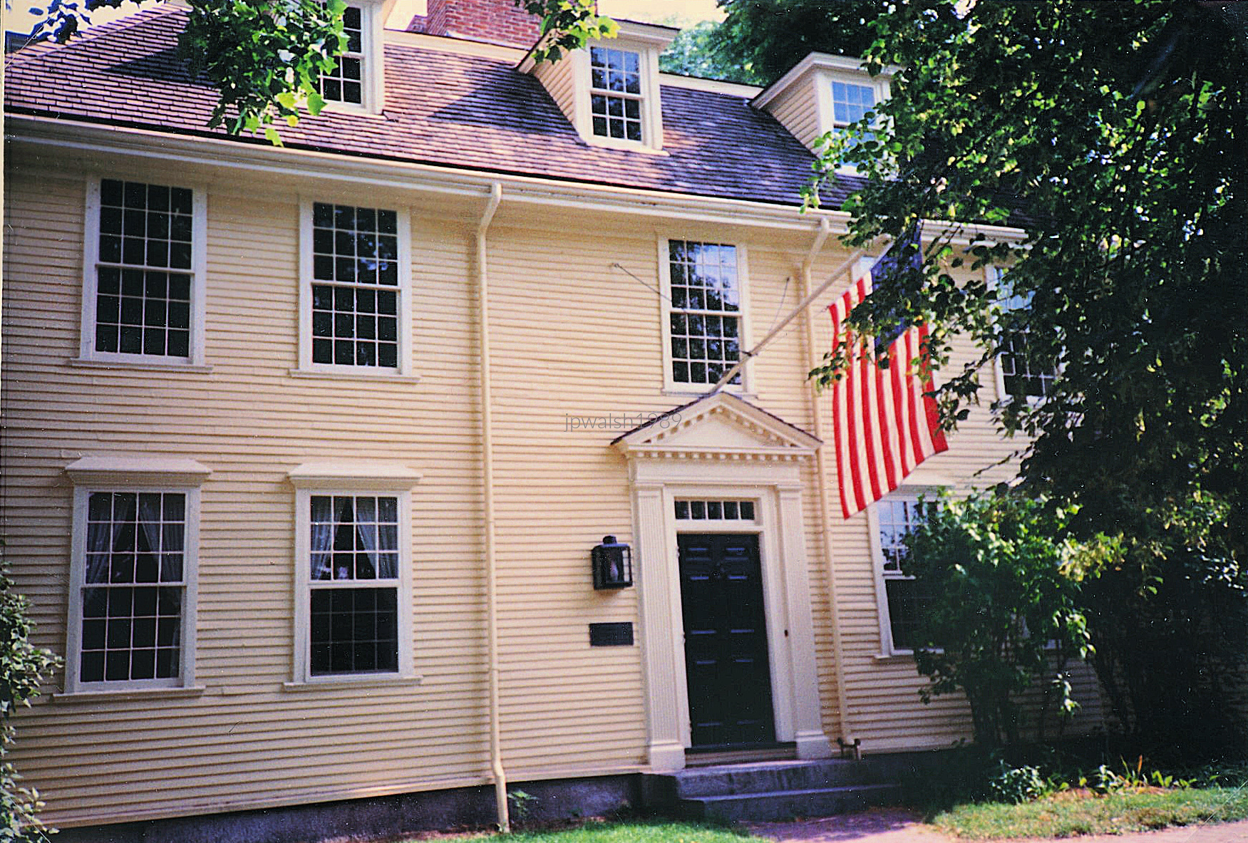
July 1989 — Buckman Tavern, Lexington, Massachusetts. On April 19, 1775, local militiamen stepped out from this tavern onto Lexington Common and formed two lines to face the advancing British troops, a brief but deadly encounter that produced the first casualties of the American Revolution. During the visit, we also learned that the phrase “sleep tight” traces back to the rope‑laced frames that supported Colonial‑era mattresses.
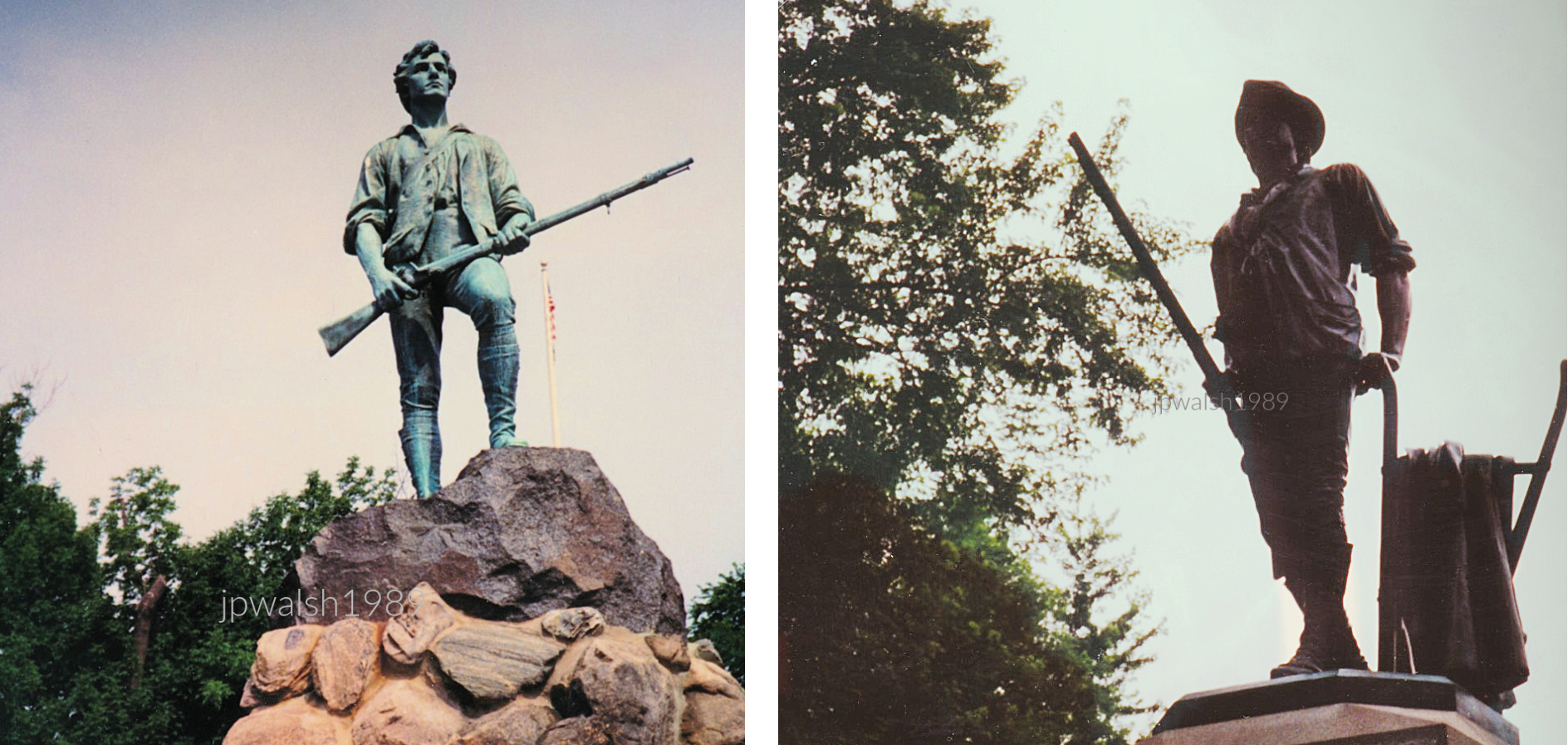
July 1989 — LEFT – Lexington Minuteman statue by H.H. Kitson, unveiled April 19, 1900. The bronze figure, rifle held in the classic Revolutionary‑era stance, recalls the citizen‑soldiers who first stepped forward to defend their towns. RIGHT – The Minute Man statue of 1875, created by Daniel Chester French, was unveiled on April 19, 1875, during the centennial of the battles of Lexington and Concord. Set near the spot where the first colonial militiamen fell in Concord, the seven‑foot bronze was cast from old Civil War cannons at the Ames Foundry in Chicopee, Massachusetts. Its pedestal carries the opening lines of Ralph Waldo Emerson’s Concord Hymn, commemorating the “shot heard round the world.”
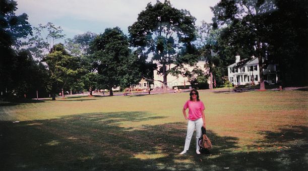
July 1989 — The author’s wife on Lexington Green, where the first shots of the War of American Independence were fired on April 19, 1775. Author’s photograph.
Orchard House (1690)
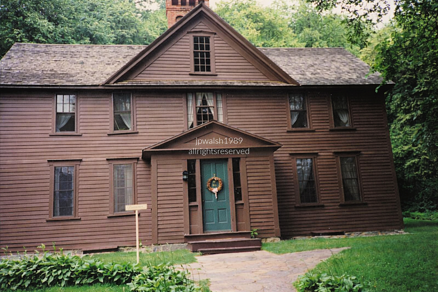
July 1989 — Orchard House (1690), Concord, Massachusetts. Home of Louisa May Alcott, where she wrote Little Women in her second‑floor bedroom between May and July 1868 at a small shelf‑desk built by her father. The structure consists of two 18th‑century houses joined together by Alcott’s father, Transcendentalist Amos Bronson Alcott, after he purchased the property in 1857.
The family moved into the home in 1858 —Abigail May Alcott and daughters Louisa, Anna, and May— where they lived until 1877. The house and its grounds provided the direct physical model for the March family home in Little Women, making this a literal birthplace of American literary history.
Orchard House opened as a historic museum in 1912. It remains exceptionally well preserved, with roughly 80 percent of its furnishings and artifacts being original Alcott family pieces.
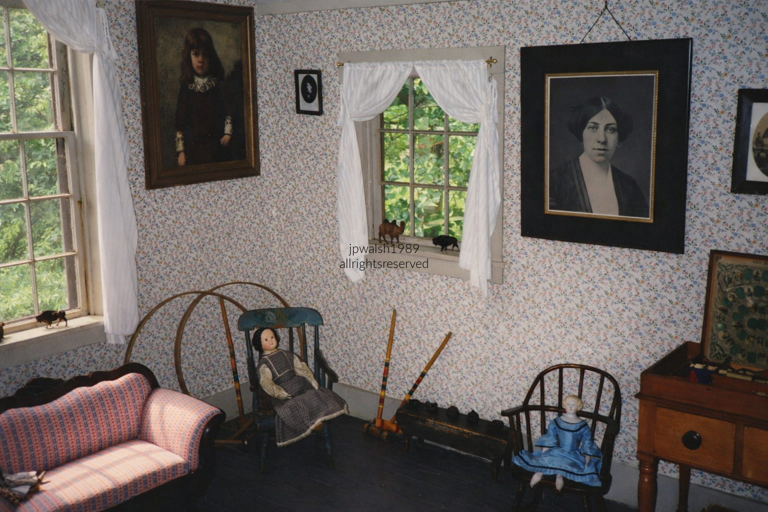
July 1989 — Nursery at Orchard House, rather than the specific bedroom where Little Women was written.
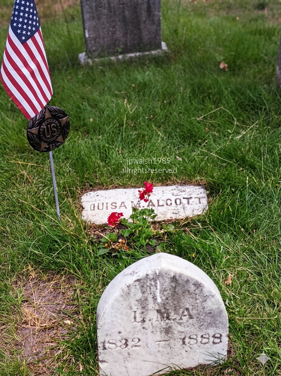
The grave (above) of Louisa May Alcott (1832–1888) stands on Authors’ Ridge in Sleepy Hollow Cemetery in Concord, one of the most significant literary burial sites in the world. Her plot has two markers: a small, curved marble footstone inscribed L.M.A. with her birth and death years, and a flat rectangular ground marker bearing her full name, set with a visitor’s red geraniums. A bronze Grand Army of the Republic medallion and small American flag honor her service as a Union nurse in a Georgetown military hospital during the Civil War.
Alcott is buried only steps from her family and the legendary contemporaries who defined Concord’s literary legacy—including Transcendentalists Henry David Thoreau and Ralph Waldo Emerson, and their Dark Romantic neighbor Nathaniel Hawthorne—making this hillside a compact map of 19th-century American letters.
Massachusetts — Emily Dickinson Homestead (1813) & Burial Site (1886), Amherst (August 2005):
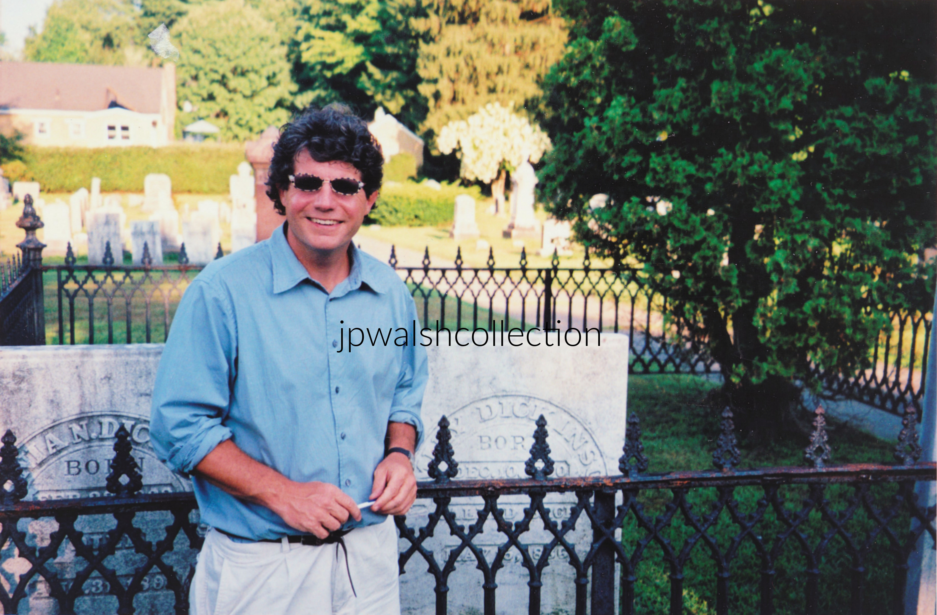
August 2005 — Emily Dickinson Gravesite, West Cemetery, Amherst, Massachusetts. Though only in her early fifties, Dickinson’s world was shaken in the early 1880s by a series of family deaths—many of those relatives also buried here in West Cemetery—which contributed to her declining health.
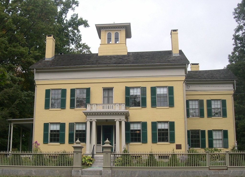
Dickinson Homestead, Amherst, Massachusetts. I had been drawn to the life and work of this reclusive nineteenth‑century New England poet since childhood and visiting Amherst in August 2005—touring both the Dickinson Homestead, built in 1813, and The Evergreens next door—felt like a long‑awaited personal milestone. Emily Dickinson was born in the Homestead in 1830 and lived there with her brother Austin and sister Lavinia until their father sold the property in 1840. The family repurchased the house in 1855, and it was here, in her adult years, that Dickinson began writing poetry in earnest. Her poems—free‑form, unconventional, and idiosyncratic—were composed largely in her upstairs bedroom, and she published very little during her lifetime. Her most productive period ran from 1858 to 1865. see- https://www.emilydickinsonmuseum.org/the-museum/our-site/the-homestead/ – retrieved January 7, 2025. PHOTO: “Emily Dickinson Museum – Amherst” by Massachusetts Office of Travel & Tourism is licensed under CC BY-ND 2.0.
The Soul selects her own Society —
Then — shuts the Door — see – https://poets.org/poem/soul-selects-her-own-society-303 – retrieved January 7, 2025.
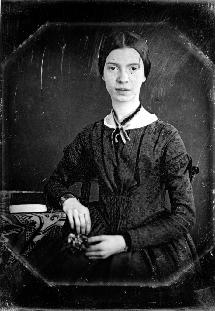
American poet Emily Dickinson (1830-1886) in an 1847 daguerreotype. After Emily’s death in 1886 at age fifty‑five, her sister Lavinia Dickinson discovered the cache of poems in Emily’s desk drawer, leading to the first published collection in 1890. A complete scholarly edition appeared only in 1955, when Thomas H. Johnson released The Poems of Emily Dickinson, now a classic of American literature. Lavinia remained in the house until her own death in 1899. “Emily Dickinson daguerreotype 1847” by Amherst College Archives is marked with Public Domain Mark 1.0.
Rhode Island — Providence (August 2005):
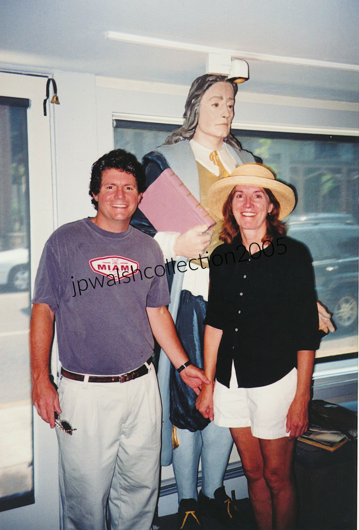
August 2005 — Providence, Rhode Island. The author and his wife stand beside a statue of Roger Williams (1603–1683), the religious reformer who founded Rhode Island in 1636 and became one of the earliest American advocates for the separation of church and state.
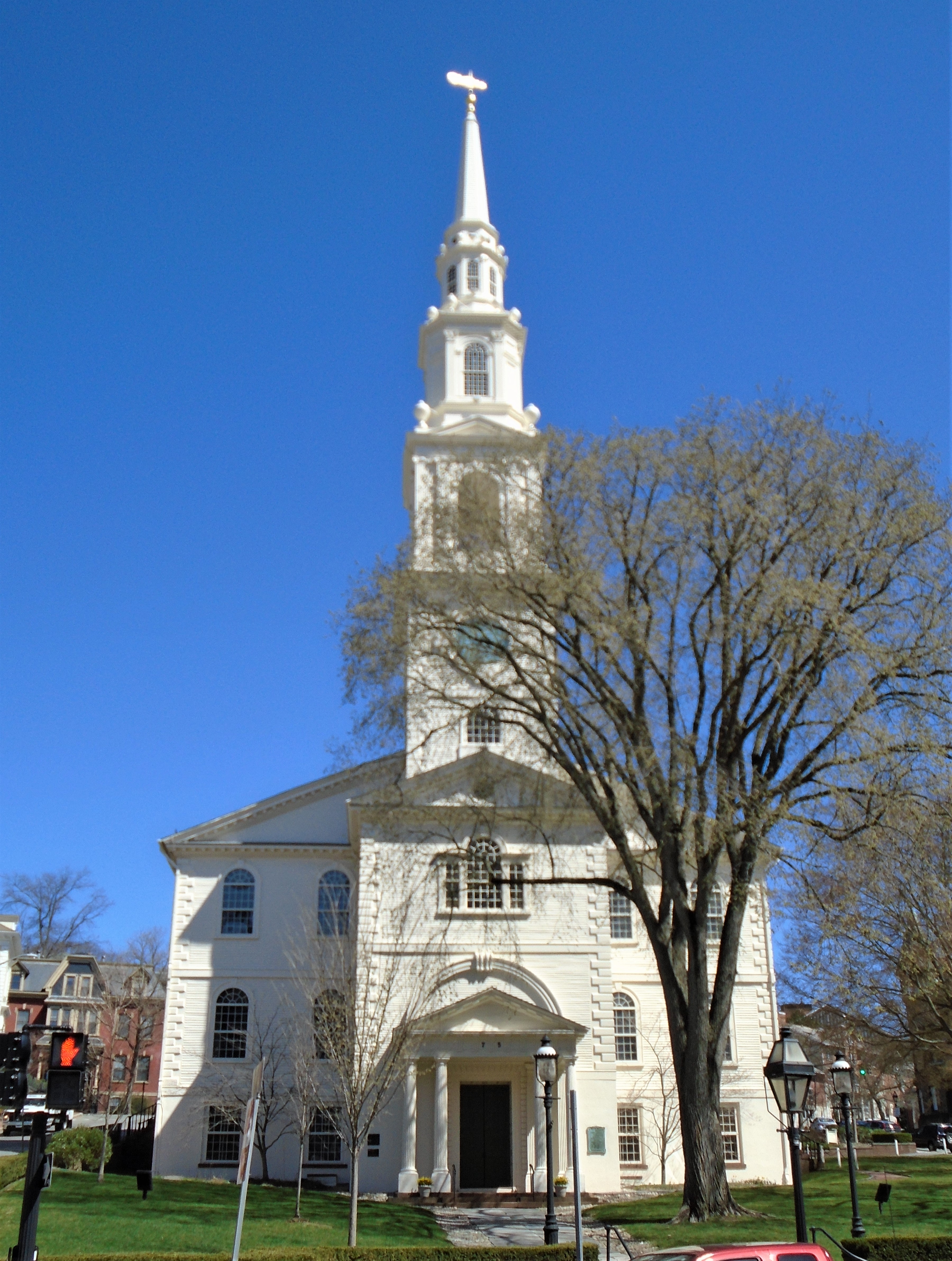
During our visit we toured Brown University, founded in 1764, and the First Baptist Meetinghouse (above), built in 1775. The congregation itself—established in 1638 by Roger Williams—is the oldest Baptist church in the United States, anchoring his legacy of religious liberty in colonial New England. PHOTO: Beyond My Ken Creative Commons Attribution-Share Alike 4.0
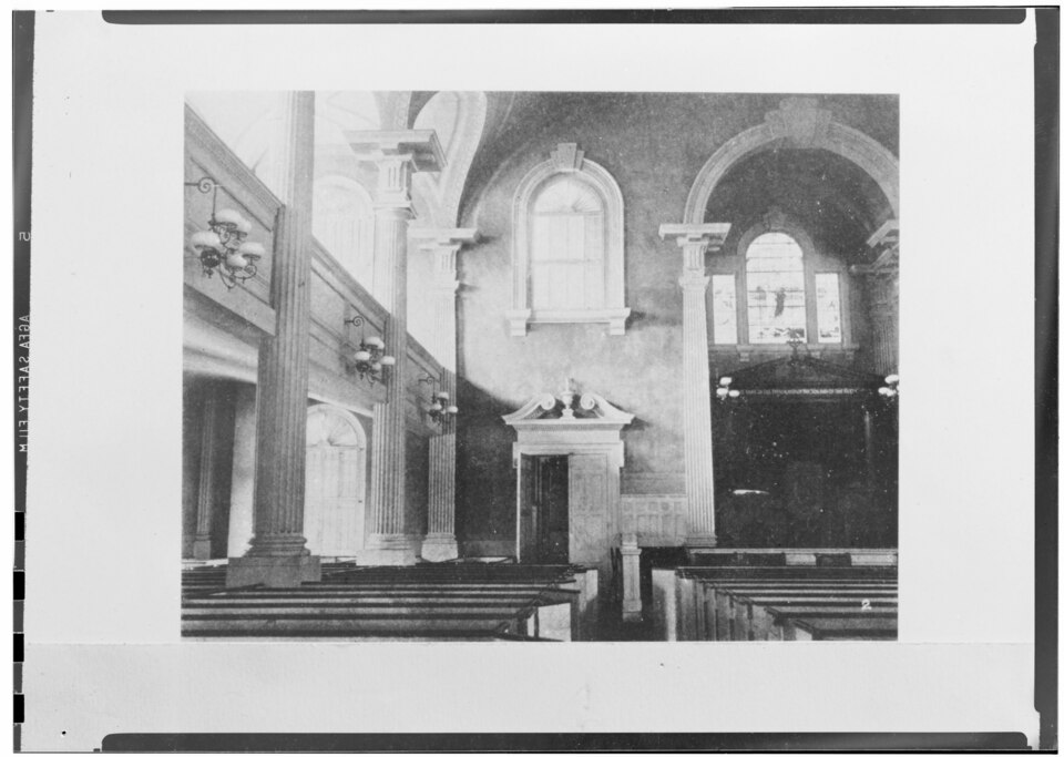
The present church building was erected in 1774–75 and held its first meetings in May 1775. It was designed by local merchant and amateur architect Joseph Brown. He was one of the famous four Brown brothers, Nicholas, Joseph, John, and Moses, who had the university, originally called Rhode Island College and located in Warren, Rhode Island, moved to Providence in 1770. In 1804 the university was renamed Brown University in honor of a large financial endowment from Nicholas Brown Jr., who was Joseph Brown’s nephew. PHOTO: This image or media file contains material based on a work of a National Park Service employee, created as part of that person’s official duties. As a work of the U.S. federal government, such work is in the public domain in the United States.
Vermont — Long Trail, near Middlebury (June 1992):
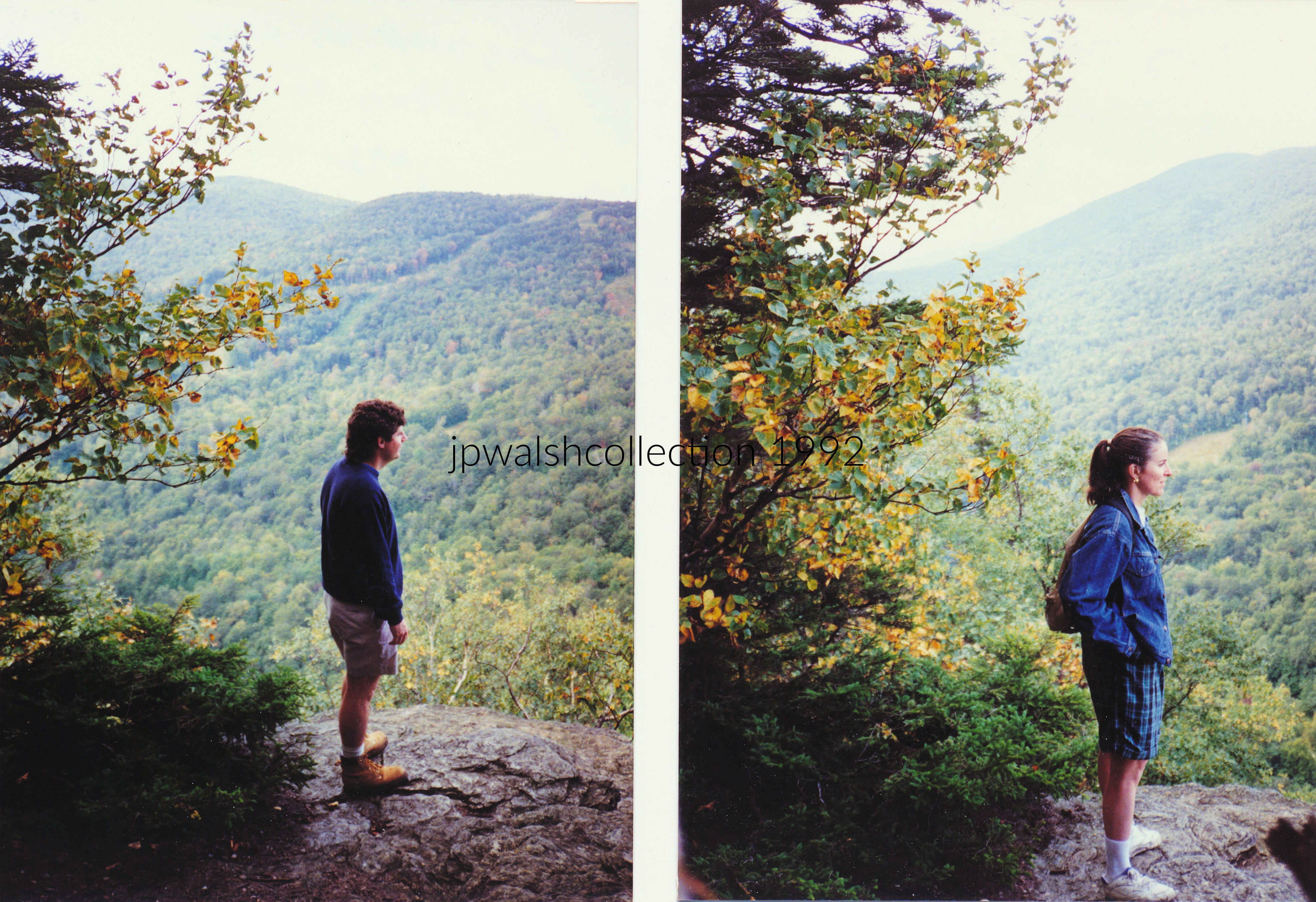
June 1992 — Hiking the Long Trail near Middlebury, Vermont. Built between 1910 and 1930 by the Green Mountain Club, the 275‑mile Long Trail runs the full length of Vermont and is recognized as the oldest long‑distance hiking trail in the United States.
Breadloaf Wilderness
The Middlebury section crosses the rugged Breadloaf Wilderness near Middlebury Gap, an area defined by steep ridges, dense forest, and classic Green Mountain terrain.
Conservation & Stewardship
In June 1992 when these photgrahs were taken, this stretch of the trail was the focus of intensive conservation work by the Middlebury Area Land Trust, while Middlebury College maintained a long‑standing partnership supporting public access and using the adjacent Green Mountain ridge for environmental field studies.
Vermont — Ripton Country Store (June 1992):
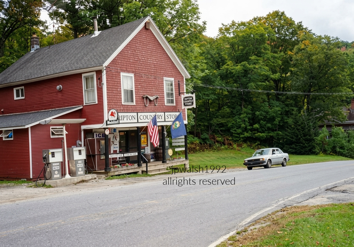
June 1992 —The Ripton Country Store sits in Vermont’s Green Mountains, a rustic timber‑frame structure originally built in 1879 and opened as a general store in 1880. Located at 1192 Vermont Route 125, it stands along the scenic mountain pass between East Middlebury and Hancock, in the heart of Robert Frost Country.
The building’s weathered wood and classic proportions anchor a quiet stretch of Route 125, a corridor defined by dense forest, steep ridges, and the characteristic stillness of the central Green Mountains. The store has long served hikers, locals, and travelers moving through this narrow valley.
Parked out front is our 1983 Toyota, the car we drove back and forth from Chicago to Vermont—its presence grounding the scene firmly in the early‑1990s rhythm of interstate drives and summer trips into the mountains.

June 1992 — Vermont countryside.
Maryland — Baltimore (August 2005):

August 2005 — My wife at the waterfront of Fort McHenry National Monument and Historic Shrine in Baltimore, with the Patapsco River stretching behind her toward the city’s industrial and residential shoreline. The red vessel docked in the background is the Mayor Thomas D’Alesandro, Jr., a 103‑foot steel fireboat built in Camden, New Jersey and placed into service in 1956 as Fireboat No. 1 for the Baltimore City Fire Department. It remained stationed at this deep‑water point beside Fort McHenry—where Baltimore has kept fireboats since 1917—until it was redesignated Fireboat No. 2 in 2007 and later decommissioned in 2015. Known for its power, the vessel could throw 12,000 gallons of water per minute through its deck‑mounted cannons to fight large waterfront and shipping‑pier fires.
Maryland — Annapolis (June 2008):
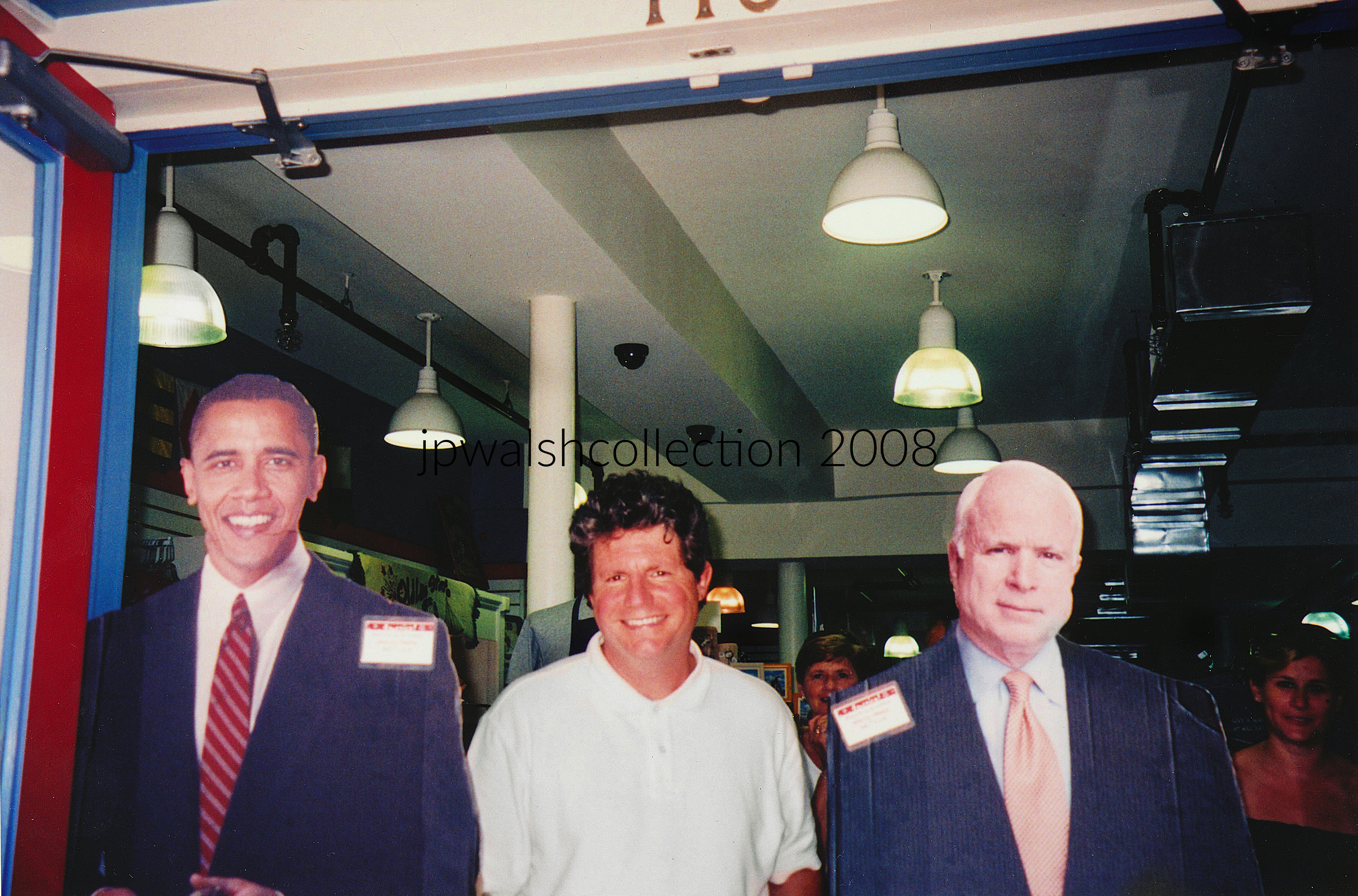
June 2008 — The author stands between life‑size cardboard cutouts of Barack Obama and John McCain inside a shop in Annapolis, Maryland, during the height of the 2008 presidential campaign season. The bright indoor lights, passing shoppers, and the playful setup give the moment an easy, good‑humored feel — a snapshot of election‑year Americana with one American voter centered between the two candidates.
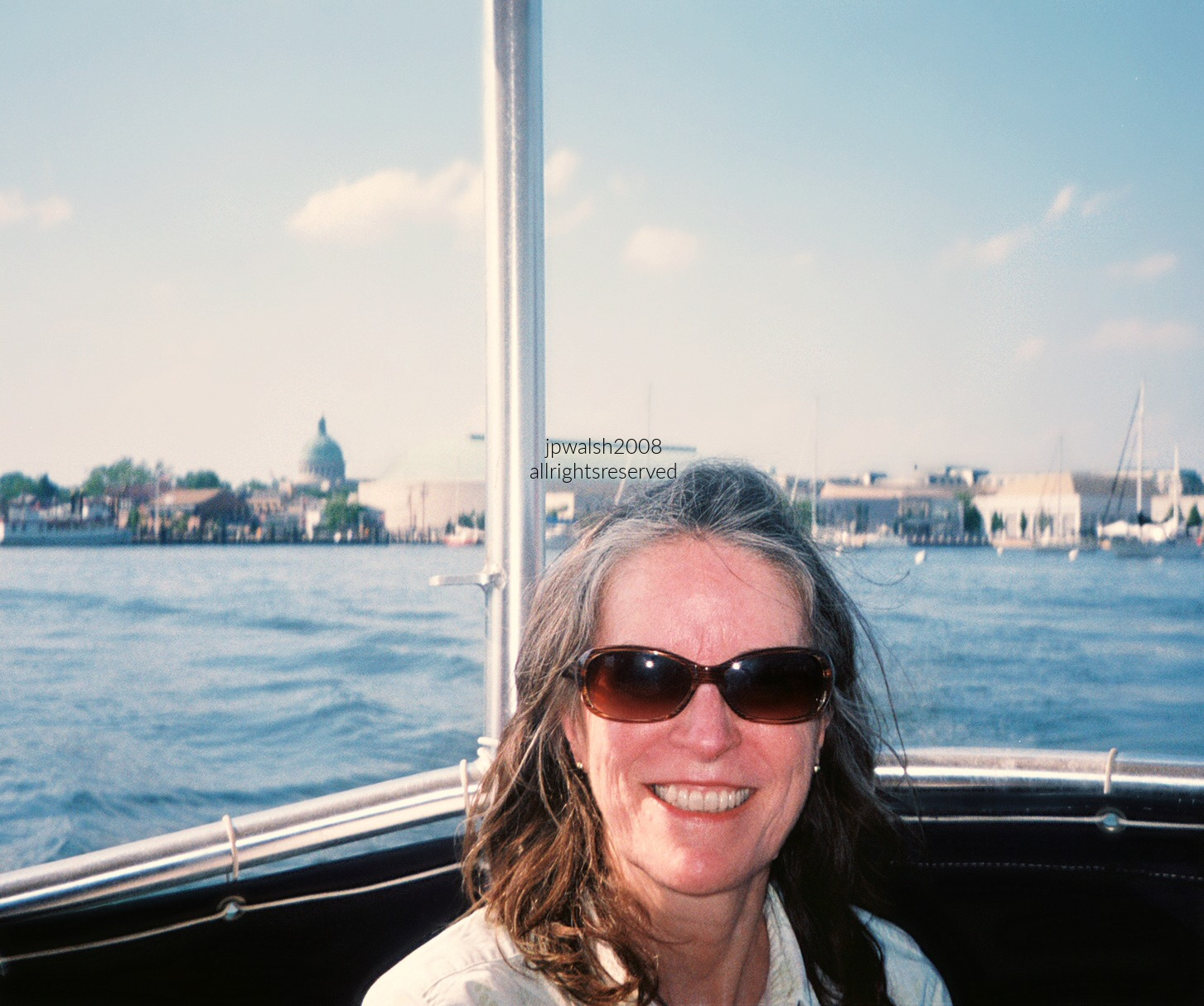
June 2008 — A boat excursion on the Severn River and Annapolis Harbor, at the junction of the Severn and the Chesapeake Bay in Annapolis, Maryland, long known as the “Sailing Capital of the World.” Along the shoreline stands the U.S. Naval Academy, locally called The Yard. The green copper dome rising above the campus marks the Naval Academy Chapel, which was celebrating its centennial in 2008. Beneath its floor lies the crypt of John Paul Jones, the Revolutionary War naval hero.
Maryland — Stevensville (Kent Island) (August 2005) (June 2008):

June 2008 — Deb at the family‑owned Stevensville Crab Shack at 116 Pier 1 Road on Kent Island, Maryland. Kent Island, the largest island in the Chesapeake Bay, serves as the gateway to Maryland’s Eastern Shore at the eastern base of the William Preston Lane Jr. Memorial Bay Bridge, directly across from Annapolis. The large blue crab statue beside the building is a familiar roadside marker that welcomes visitors. The menu features regional Chesapeake specialties — Maryland blue crabs, crab cakes, Bay oysters, rockfish (striped bass), and steamed clams and shrimp.
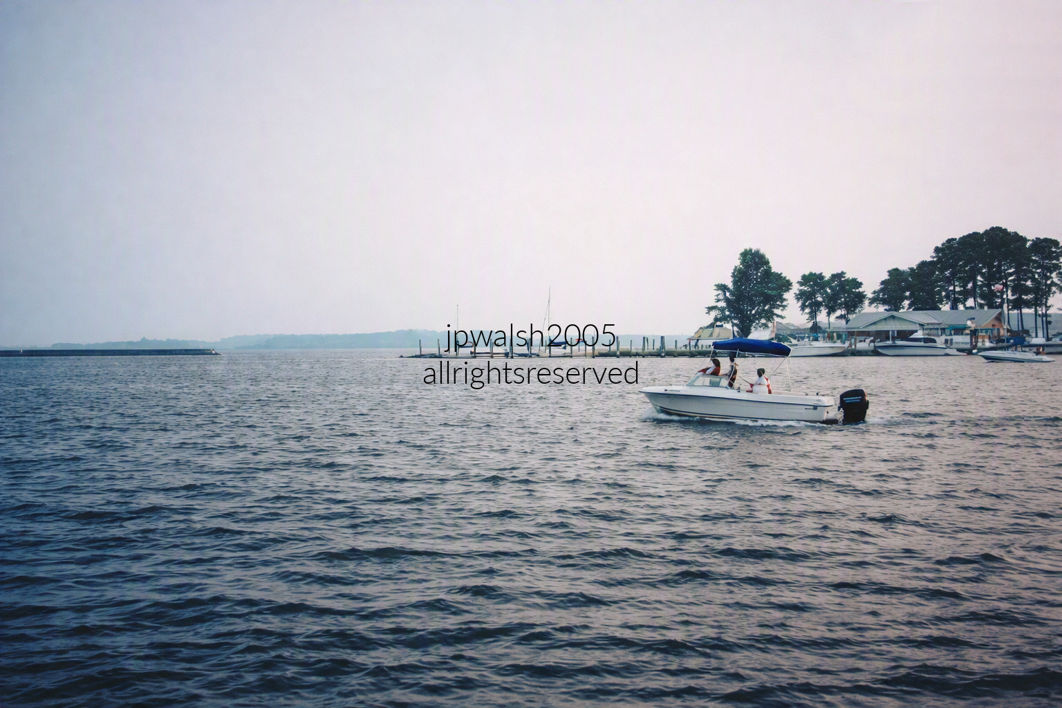
August 2005 —From Kent Island, looking across the narrowest stretch of the main stem of the Chesapeake Bay toward Anne Arundel County on the Western Shore. Because the Maryland coastal plain is entirely flat, that long, unbroken “ridge of hills” in the distance is an optical illusion created by the high, continuous bluffs and dense tree lines of the Sandy Point and Annapolis area shoreline.
Kentucky — Mary Todd House (c. 1803). Lexington (April 2004):
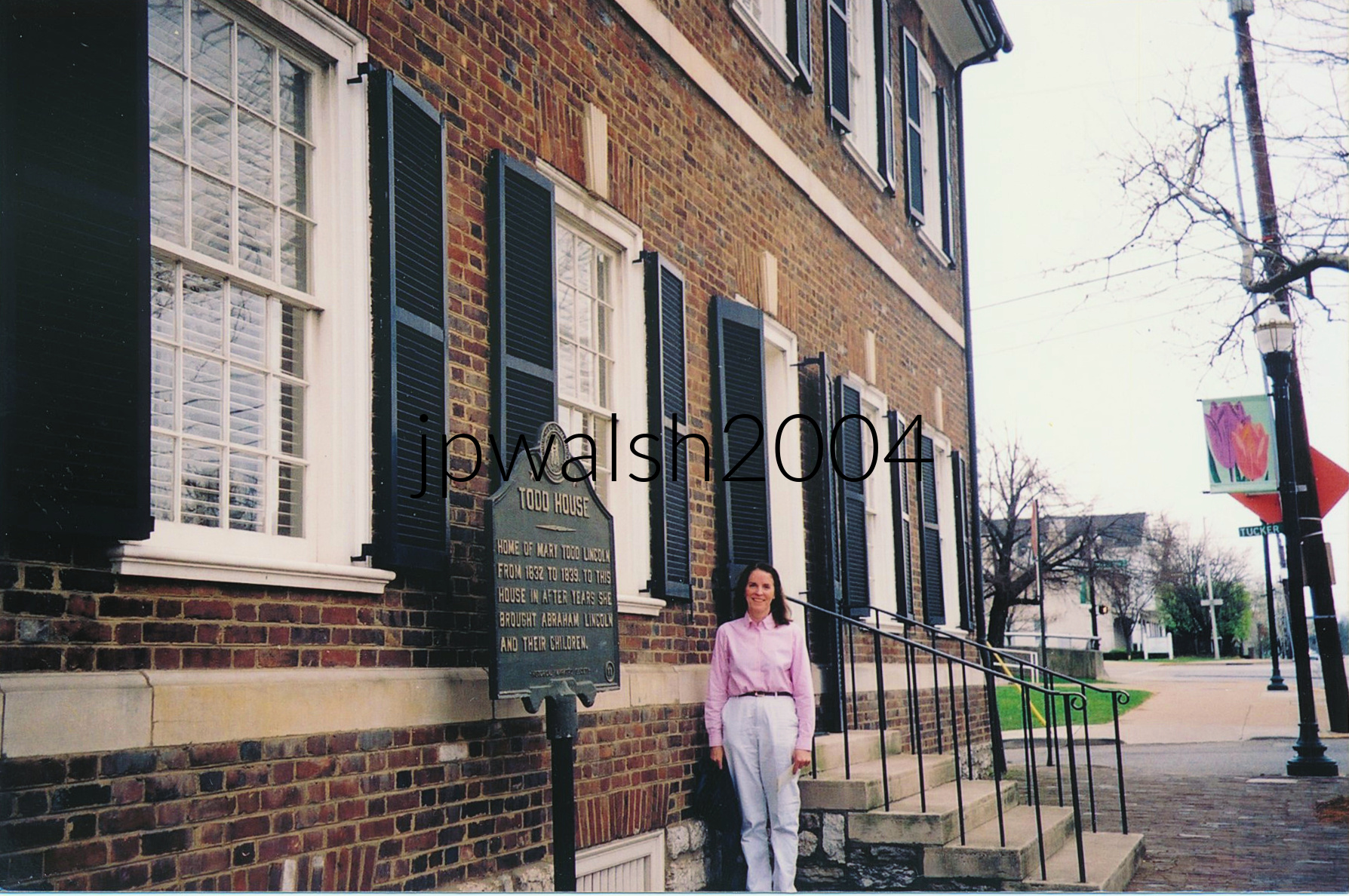
April 2004 — My wife at The Todd House in Lexington, Kentucky, a brick residence built between roughly 1803 and 1806, serving as the teenage home of Mary Todd Lincoln from 1832 to 1839. Originally a bustling early 19th-century inn and tavern known as “The Sign of the Green Tree,” it was purchased by her father, Robert Smith Todd, and transformed into a sophisticated family home. After Mary Todd married Abraham Lincoln, the future president and their children visited her family here, making the house a long-standing part of the Lincoln family’s personal history and Lexington’s early urban landscape. Following a major local preservation campaign, the property opened to the public in 1977, achieving historic significance as the very first shrine in the United States restored specifically to honor a First Lady.

Mary Todd Lincoln in 1846. Mary Todd was 23 when she married 33‑year‑old Abraham Lincoln in Springfield, Illinois, on November 4, 1842. Their marriage quickly became rooted in Springfield life, where all four of their sons were born and where Mary shaped the household where Lincoln lived throughout his rising legal and political career. Public Domain. see – https://www.mtlhouse.org/timeline – retrieved January 28, 2025.
Illinois — Stevenson Farm, Libertyville, Illinois (Summer 1974):

Summer 1974 — Illinois U.S. Senate Campaign Author with Senator Adlai Stevenson III of Illinois during the 1974 summer campaign drive for his first full term in the U.S. Senate. That summer campaign unfolded against the backdrop of Watergate, public anger, and a national demand for accountability. Stevenson—who had first entered the Senate in the 1970 special election to succeed the late Everett Dirksen—faced Republican challenger George Burditt that November. His platform leaned hard into government transparency, ethics reform, and campaign‑finance accountability, themes that resonated powerfully in that political climate.
He also drew on the long public reputation of the Stevenson family, embracing the “egghead” label that had followed his father, Adlai Stevenson II, through two presidential campaigns. Though he clashed with Mayor Richard J. Daley over ethics reform, the regular Democratic organization ultimately backed him with full force. On November 5, 1974, Stevenson won decisively—62% to 37%, a margin of nearly 800,000 votes—a result later certified by Illinois election authorities.
That summer’s campaign set the trajectory for his Senate work in the late 1970s, including helping craft the Senate Code of Ethics and serving as the first chairman of the Senate Ethics Committee.
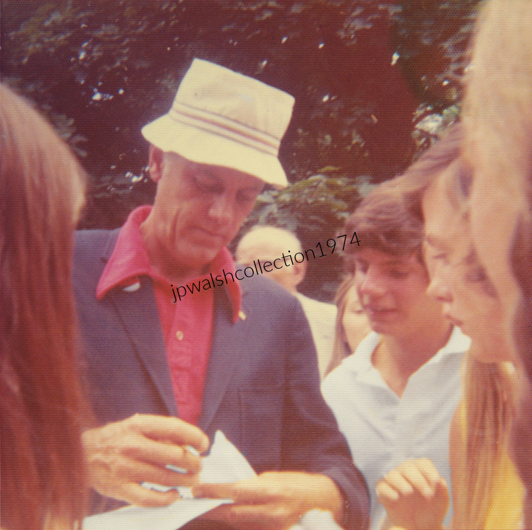
Summer 1974 — Author with actor‑comedian McLean Stevenson, captured as he signed an autograph for me during the peak of his Hollywood stardom. Earlier that January, Stevenson had won a Golden Globe Award for his beloved portrayal of the bumbling, warm‑hearted Lt. Col. Henry Blake on CBS’s hit series MASH. While his second cousin, Sen. Adlai Stevenson III, was deep in the Illinois campaign season, McLean’s summer was filled with television production, talk‑show appearances, and game‑show stints. Between filming season three of MASH, he frequently appeared—and occasionally guest‑hosted—on The Tonight Show, including a late‑June 1974 visit where he joked about his hometown of Bloomington, Illinois. In July 1974, he returned as a celebrated celebrity panelist on Match Game ’74, joining regulars like Richard Dawson and Charles Nelson Reilly at the height of his national popularity.
Illinois — Mormon Temple (2002), Nauvoo (May 2006):
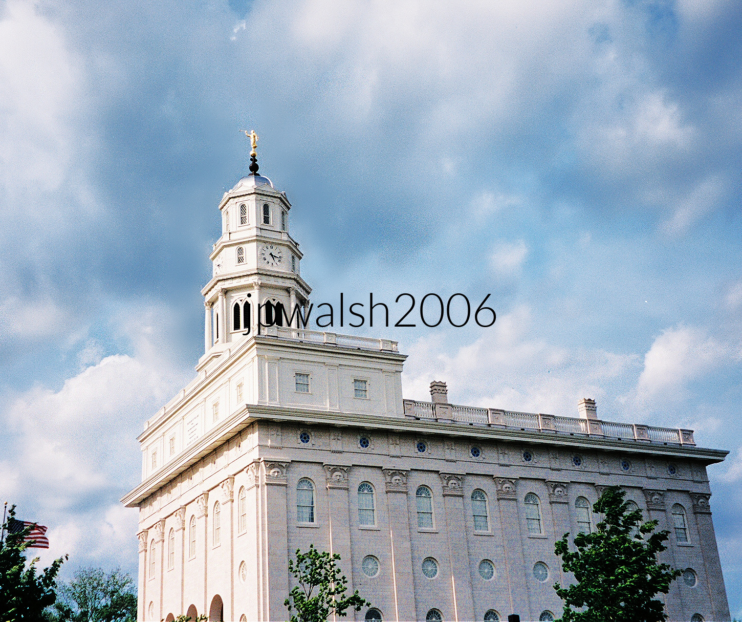
May 2006 — Nauvoo Illinois Temple rebuilt and dedicated in 2002, the scene reflects the return of a landmark long central to Latter‑day Saint history. The structure closely follows the design of the original Nauvoo Temple, first conceived under Joseph Smith (1805–1844), with its limestone façade, tall windows, and distinctive tower. Atop that tower stands the angel Moroni, blowing a horn—a symbol of proclamation and restoration that has become iconic across modern Latter‑day Saint temples.
Kansas —Dwight D. Eisenhower Presidential Library and Museum Chapel, Abilene (May 2006):
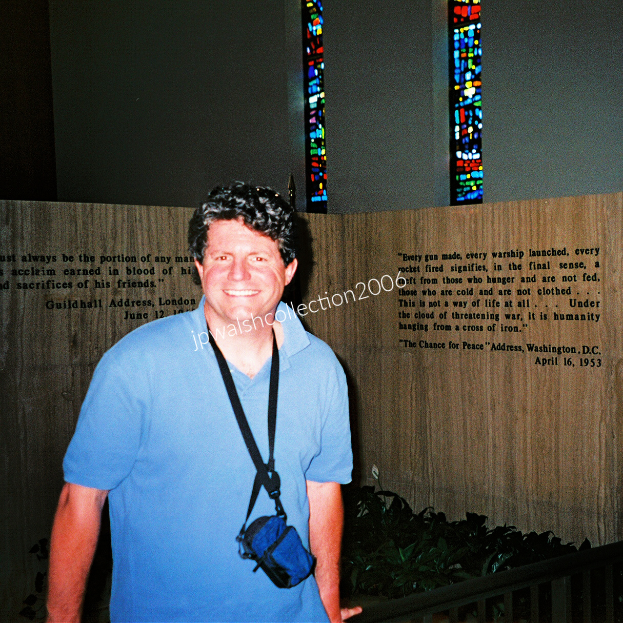
May 2006 — Author at the Eisenhower Presidential Library and Museum Chapel (Place of Meditation), Abilene, Kansas. The memorial chapel and gravesite—officially known as the Place of Meditation—was designed by James Canole, Kansas State Architect from 1961 to 1967. Its interior is defined by chipped‑glass windows created by Pennsylvania artist Odell Prather and crafted by the Conway Glass Studio, their fractured light giving the space its reflective character and a small interior fountain producing a gentle trickling sound. The recessed crypt is lined with travertine marble from Europe, and its walls carry inscribed quotations from General Eisenhower.
Gravesite Dwight D. Eisenhower (1890–1969) and Mamie Doud Eisenhower (1896–1979) are buried here, along with their first son, Doud Dwight Eisenhower, who died in childhood. The chapel stands at the heart of the library complex, a memorial to the family’s Kansas roots and reflecting the modest, disciplined public character Eisenhower cultivated throughout his military and political life.
Military Leadership Eisenhower served as U.S. General of the Army during World War II, commanding Allied forces from D‑Day through Germany’s surrender and overseeing the liberation of Europe. After the war, he became NATO’s first Supreme Commander, shaping the early architecture of Western defense.
Presidency As the 34th President, Eisenhower ended the Korean War and presided over a period of strong economic growth marked by low inflation and low unemployment. His domestic record included expanding Social Security, raising the minimum wage, and launching major national initiatives such as the Interstate Highway System and NASA.
Nationhood & Legacy During his administration, Alaska and Hawaii entered the Union as the 49th and 50th states in 1959.
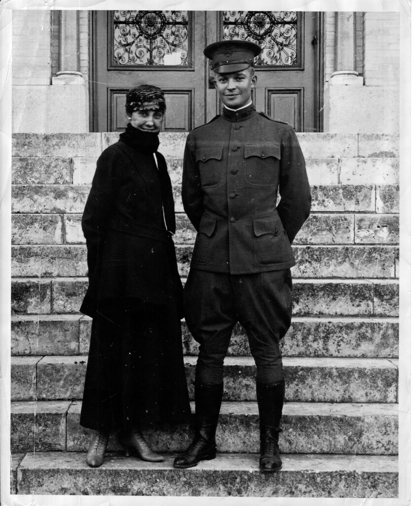
Mamie Doud Eisenhower and Dwight D. Eisenhower are shown in 1916, the year they were married. Mamie, born and raised in Iowa, met Eisenhower in San Antonio in October 1915, where her family kept a winter home. She had just completed her education at Miss Wolcott’s finishing school, and Eisenhower—newly commissioned as a 2nd Lieutenant after graduating from the U.S. Military Academy at West Point—was serving his first Army assignment in Texas.
They were married in July 1916 at her father’s home in Denver, beginning a partnership that would span Eisenhower’s rise from young officer to General of the Army and 34th President of the United States and retirement at their 189-acre Gettysburg farm purchased in late 1950. Public Domain.
Missouri — The Harry S. Truman Presidential Library and Museum (1957) and Harry S. Truman National Historic Site (1919), Independence (May 2006):
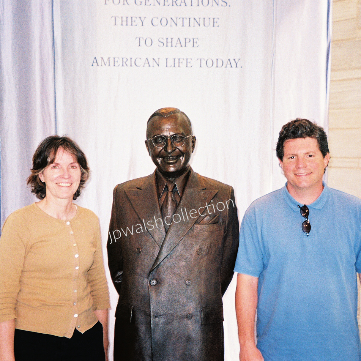
May 2006 — Deb and me in the Truman Library, Independence, Missouri. Truman treated the library as his workplace, arriving five to six days a week, often before his staff. He was famously informal and often answered the main lobby telephone himself, gave callers driving directions, and cheerfully telling them they were speaking to the “man himself.”
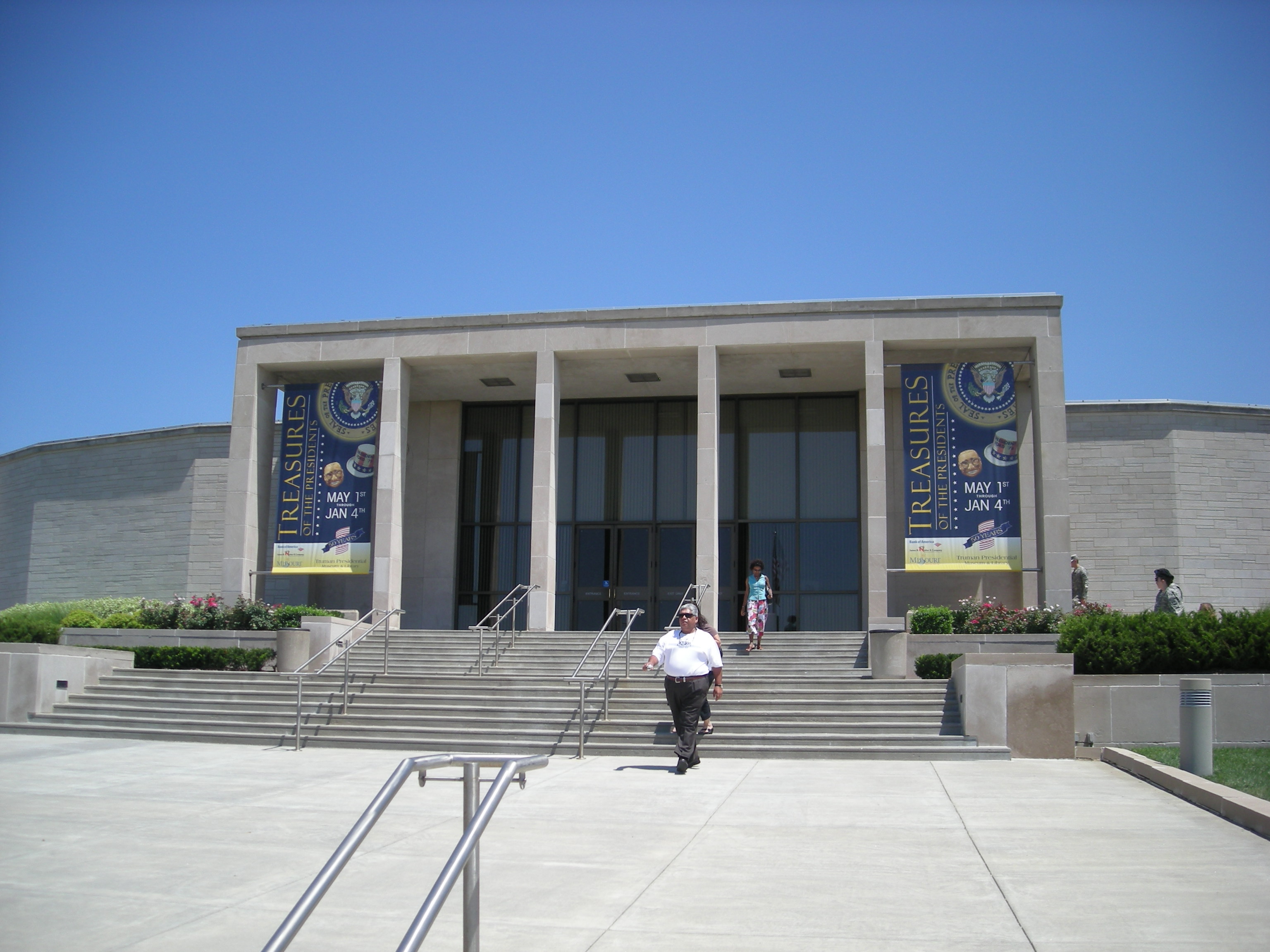
The library stands on a 14‑acre stretch of rolling ground donated by the city of Independence, less than a mile from Truman’s own home. Truman personally chose Edward F. Neild, the Louisiana architect who had designed the Jackson County courthouses for him in the 1930s, to design the building. After Neild’s sudden death in 1955, Alonzo H. Gentry completed the sleek, horizontal limestone structure that anchors the site today. PHOTO: “Harry S. Truman Presidential Library and Museum July 2007” by Michael Barera is licensed under CC BY-SA 4.0.
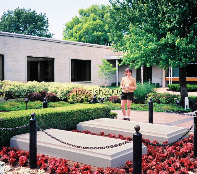
May 2006 — The Harry S. Truman Presidential Library and Museum is the final resting place of the 33rd President and his wife Bess Truman. Located in Independence, Missouri, the library has long served as both a public institution and a site of major national moments: President Lyndon B. Johnson signed the Medicare Act here on July 30, 1965, with Truman present as the first Medicare enrollee.
Harry S Truman died on December 26, 1972. His family chose to forgo a large state funeral in Washington, opting instead for a simple, private service in the library’s main auditorium on December 28. He was buried later that day in the library’s central courtyard.
Those in attendance included President Richard Nixon and First Lady Pat Nixon; Former President Lyndon B. Johnson and Lady Bird Johnson—one of LBJ’s final public appearances, as he died just 26 days later; and several prominent alumni of the Truman administration, including W. Averell Harriman, Clark Clifford, John Snyder, and Rose Conway, Truman’s longtime personal secretary. Others present included Senators Hubert H. Humphrey and Thomas F. Eagleton, Missouri Governor Warren E. Hearnes, artist Thomas Hart Benton, and roughly 30 surviving Battery D veterans who had served with Truman in World War I.
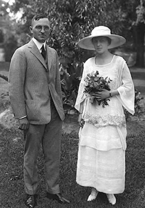
Harry S Truman and Bess Wallace on their wedding day, June 28, 1919. Married 53 years, Truman famously called his wife, “The Boss.”
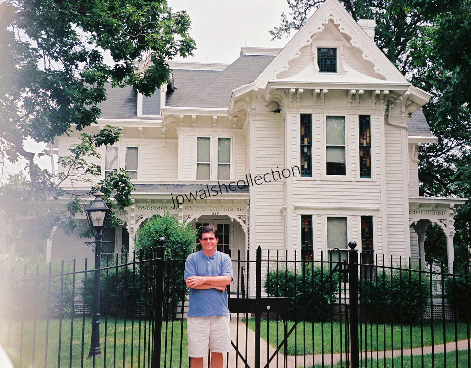
May 2006 — Author at Harry S. Truman Home, Independence, Missouri. Harry Truman, 33rd President of the United States, lived in this house from his marriage to Bess Wallace in June 1919 until his death at age 88 in December 1972. Located at 219 Delaware Street in Independence, Missouri, the home dates from 1867–1885 and was built by Bess’s maternal grandfather, George Porterfield Gates. Today it stands as the centerpiece of the Harry S. Truman National Historic Site, a well‑preserved 14‑room Queen Anne‑style Victorian residence.
From 1945 to 1953, the house served as Truman’s “Summer White House,” prompting the installation of a black wrought‑iron security fence in 1949 to manage the sudden influx of tourists and reporters—something Truman resisted but ultimately accepted as president. In 1953, after leaving the White House, Harry and Bess purchased the home outright from the Wallace estate and modernized its long‑deferred interior.
When Truman returned to Independence as “Mr. Citizen” in January 1953, he refused all corporate jobs and board seats, believing they cheapened the dignity of the presidency. Instead, he devoted his mornings to the public through his legendary daily walks. Rising before dawn, he stepped out of his front gate at precisely 7:00 a.m., marching at a rigid 120 steps per minute—a habit from his World War I artillery days—and typically covering a 1‑ to 2‑mile loop, a routine he had maintained even in the White House. Truman’s outdoor walks through Independence came to a permanent end in late 1969.
Missouri — House Lounge, Missouri State Capitol, Jefferson City (May 2006):

May 2006 — Deb and me inside the House Lounge of the Missouri State Capitol, standing before Thomas Hart Benton’s mural A Social History of the State of Missouri. Benton painted the four‑wall wraparound work between 1935 and 1936, after proposing the idea directly to the legislature and receiving their commission.
The section behind us is part of the North Wall, depicting “Pioneer Days and Early Settlers,” including scenes of pioneer domestic life, household work, law, order, religion, and the transitional “Machine Gun / Civil War” panel that carries the narrative toward Missouri’s industrial and urban story on the east wall. In keeping with American Regionalism, Benton portrayed ordinary Missourians — unidealized, working, enduring, and shaping the early frontier — rather than elevating political figures or heroic mythmaking.
Missouri — bronze Beetle Bailey (1992), University of Missouri in Columbia (May 2006):
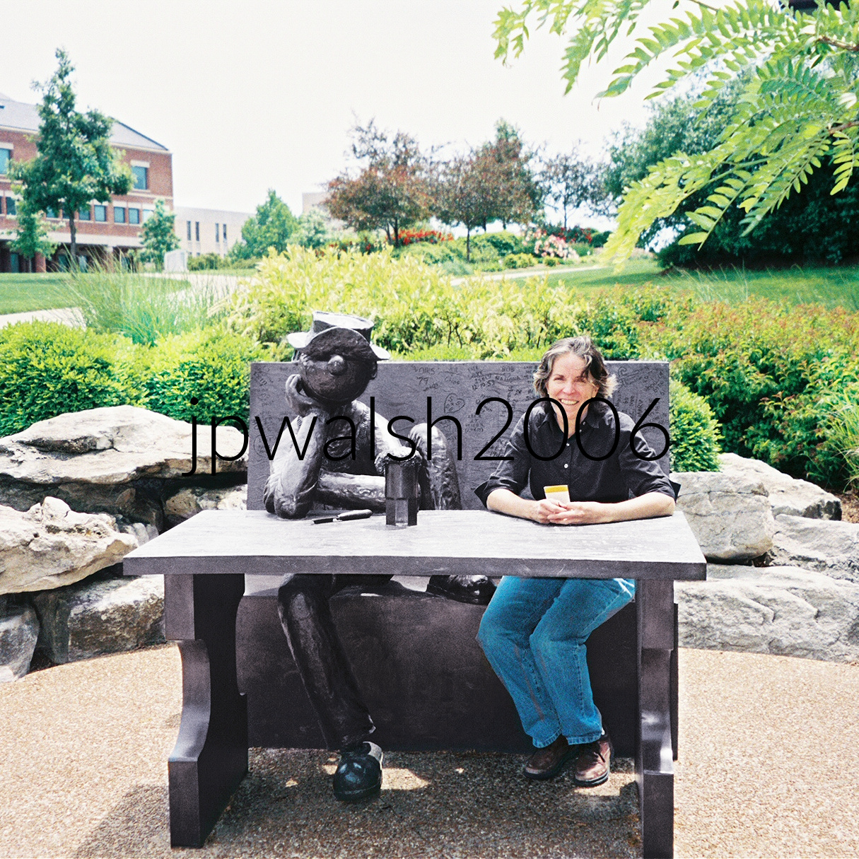
Seventy‑Five Years of Beetle Bailey: September 4, 2025 marked the 75th anniversary of Beetle Bailey, the long‑running comic strip created by Mort Walker. May 2006. Author’s photograph. https://muarchives.missouri.edu/beetle-two.html and https://muarchives.missouri.edu/beetle-eight.html – retrieved September 4, 2025.
“Beetle’s Booth” at Mizzou
The life‑sized bronze sculpture known as “Beetle’s Booth” was designed by Mort Walker together with his son Neal Walker and unveiled on October 23, 1992 at Walker’s alma mater, the University of Missouri in Columbia. The sculpture sits beside the site of “The Shack,” the modest burger joint that originally inspired the comic strip.
The Shack and the Strip’s Beginnings
Although Beetle Bailey’s characters were based on Walker’s fraternity brothers at Mizzou, it was The Shack—a campus hangout that disappeared in the 1980s—that first appeared by name in the strip on September 14, 1950. Its role in Walker’s imagination made it the natural setting for the sculpture.
A Participation Sculpture
Costing $40,000 (about $92,000 today), the sculpture invites visitors to sit with Beetle himself. It depicts the classic slacker Beetle Bailey lounging in his booth behind a table at The Shack, turning a comic‑strip setting into a real‑world place to pause and join him.
Origins and Creation
The American comic strip Beetle Bailey debuted on September 4, 1950. Its creator, Mort Walker (1923–2018), drew the strip for an extraordinary 67 years, continuing until just a year before his death. Today the strip remains a family enterprise, written and illustrated by his sons Brian and Greg Walker, with Neal Walker contributing to the writing.
From College Campus to Comic Page
Beetle Bailey’s earliest cast grew out of Walker’s own college life, modeled on his fraternity brothers at the University of Missouri in Columbia. In the strip’s first year, on March 13, 1951, Beetle abruptly quit school and enlisted in the U.S. Army — a turning point that set the course for the next seven decades.
Beetle Enlists — and Never Leaves
Beetle’s enlistment was played for comedy: he was fleeing his girlfriend Buzz and another girl pursuing him. That pattern of romantic entanglement followed him straight into military life. Upon arriving at Camp Swampy, Beetle — the Army’s most dedicated slacker — soon found a new love interest in Miss Buxley, the blonde, buxom civilian secretary to General Halftrack.
The Ensemble at Camp Swampy
Over the years, Beetle Bailey has built one of the most recognizable casts in American comics. Regulars include:
Plato — the thoughtful, philosophical soldier
Sergeant Snorkel — Beetle’s volcanic, long‑suffering drill sergeant
Otto — Snorkel’s helmet‑wearing dog
Lt. Fuzz — the eager, inexperienced officer
Lt. Flap — the stylish, confident lieutenant
Killer — the smooth‑talking ladies’ man
Zero — the dim but lovable private
see – https://muarchives.missouri.edu/beetle-eight.html – retrieved September 4, 2025.
Maryland — Antietam National Battlefield near Sharpsburg, September 17, 1862 (April 2006)
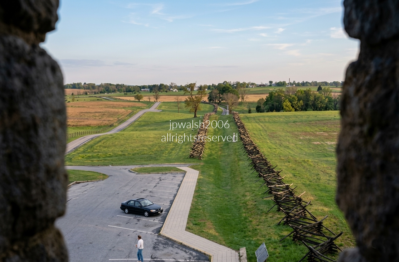
April 2006 — “Bloody Lane” Antietam National Battlefield, Sharpsburg, Maryland. The view looks west from the 85‑foot Observation Tower toward the Sunken Road — “Bloody Lane” — the worn farm lane that became a makeshift trench for roughly 2,200 Confederate soldiers on September 17, 1862, the bloodiest single day in American military history. More than 23,000 men were killed, wounded, or missing in just 12 hours. For over three hours Union forces hammered the Confederate center with repeated frontal assaults until finally flanking the position; by then, the lane was heaped with an estimated 5,600 dead and wounded, securing its grim name. Though the battle ended in a tactical draw, the Union succeeded in halting Robert E. Lee’s first invasion of the North, forcing a retreat across the Potomac. Five days later, on September 22, President Abraham Lincoln issued the preliminary Emancipation Proclamation, redefining the war’s moral purpose.
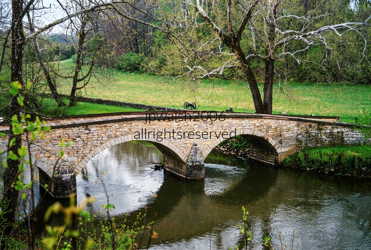
April 2006 — Burnside Bridge — Union Viewpoint, Eastern Bank. Antietam National Battlefield, Sharpsburg, Maryland. From this exact position, Major General Ambrose Burnside’s soldiers repeatedly tried to force a crossing on September 17, 1862, only to find the narrow stone span turned into a lethal bottleneck. Four hundred Georgia sharpshooters under Robert Toombs, firing from the bluffs above the bridge, held off nearly 12,000 Union troops for three punishing hours. When the Federals finally broke through at midday, more than 500 Union soldiers lay dead or wounded on the approaches, compared to roughly 120 Confederate casualties. The delay proved fatal to the Union plan: it gave A.P. Hill time to rush his division up from Harpers Ferry and smash into Burnside’s exposed flank, stopping a breakthrough that might have ended the war.
The regiments that finally cracked the Confederate hold were the 51st Pennsylvania Infantry, led by Colonel John Hartranft, and the 51st New York Infantry, led by Colonel Robert Potter. The price paid to reach that moment was staggering. The 11th Connecticut Infantry, ordered to make the first assault, was torn apart almost instantly; their commander, Colonel Henry W. Kingsbury, was shot multiple times and mortally wounded. The 2nd Maryland Infantry, leading the second wave, was cut down in the center of the bridge, losing 40% of its roster in minutes. Reinforcements from the 6th New Hampshire and 9th New Hampshire Infantry were slaughtered in the same confined space.
Downstream, the 16th Connecticut Infantry, mustered barely three weeks earlier, collided head‑on with Hill’s arriving division and lost 25% of its men in an hour—effectively abandoned to the battlefield’s meatgrinder as Burnside’s attack collapsed.
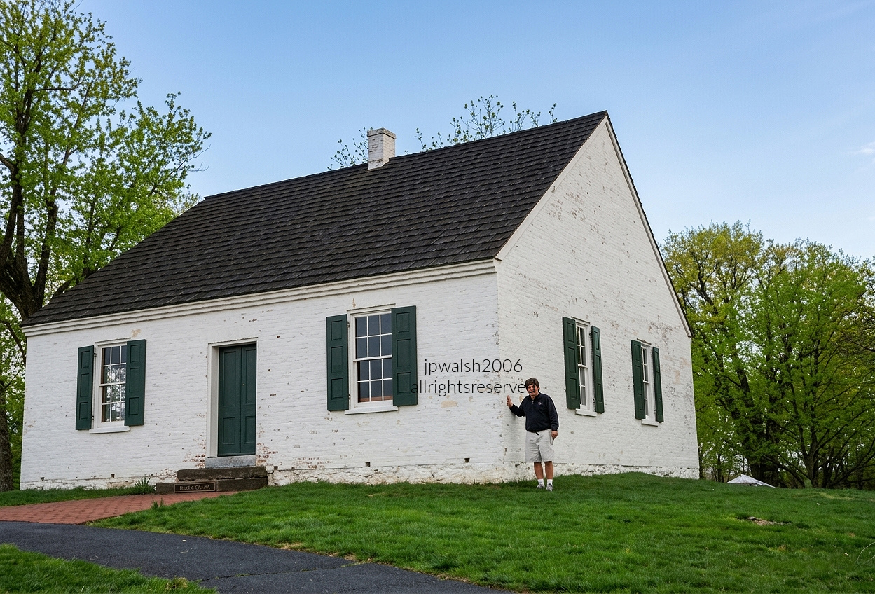
April 2006 — Dunker Church — Antietam, 1852. Built on a slight rise along the Hagerstown Turnpike, the Dunker Church became one of the battle’s key visual anchors on September 17, 1862. Confederate commanders, including Stonewall Jackson, used the woods behind it — the West Woods — to brace their defensive line. Union officers used the church’s white walls as a fixed point for directing infantry assaults and artillery fire.
In the West Woods and the Cornfield just north and west of the building, thousands of men collided in close‑quarters combat. The church shifted roles as the battle surged around it: a Confederate triage station when Southern lines held; a brief site of truce afterward; and finally a Union morgue once Federal troops secured the ground.
The original structure blew down in a violent 1921 storm. For the battle’s centennial in 1962, the National Park Service rebuilt it on its original foundation, using salvaged bricks and surviving woodwork to restore the landmark as faithfully as possible.
Virginia — John Marshall House (1790), Richmond (June 2001):
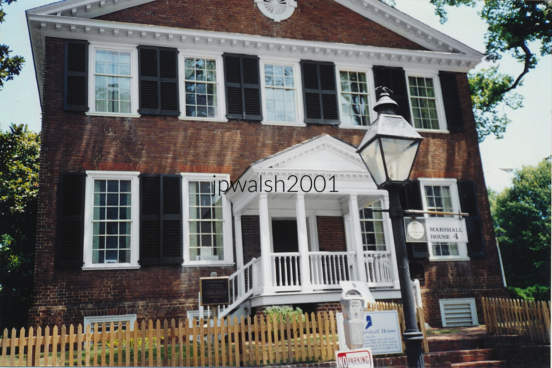
June 2001 — The John Marshall House at 818 East Marshall Street in Richmond’s historic Court End neighborhood is a National Historic Landmark and one of the city’s oldest surviving brick dwellings, completed in 1790 in the Federal/Georgian style. Home to Chief Justice John Marshall for 45 years, it served as the place where he wrote many of his most influential constitutional decisions, including those that established judicial review.
In June 2001, the house stood at the center of major bicentennial commemorations marking the 200th anniversary of Marshall’s 1801 appointment to the U.S. Supreme Court. Throughout the year, preservation groups used the site as a base for retrospectives, publications, and public programs exploring Marshall’s legal legacy. The house also drew heightened attention because nearby Jackson Ward was added to the National Trust’s List of Endangered Sites that same month, positioning the Marshall House as an anchor for broader downtown Richmond preservation efforts.
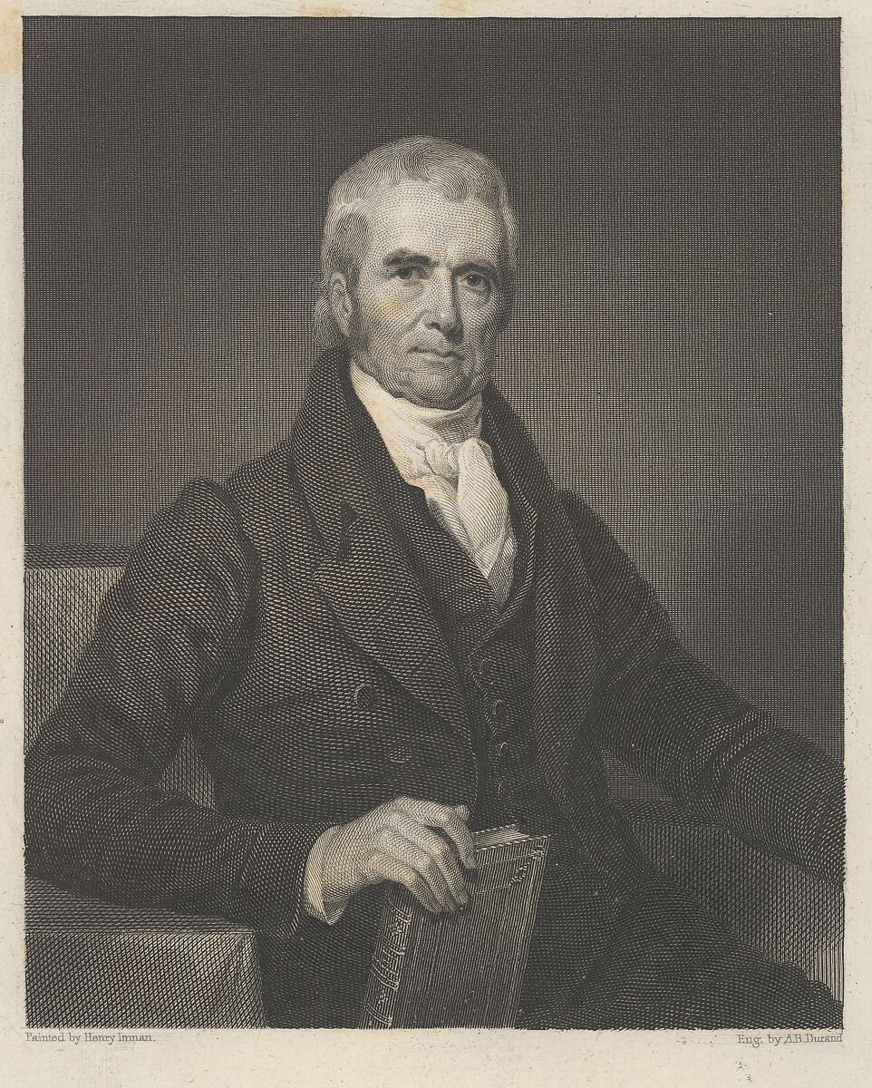
Chief Justice John Marshall, 1833, Asher Brown Durand (1796–1886). Engraving; third state of five; image: 4 5/8 x 3 3/4 in. (11.7 x 9.5 cm) plate: 9 5/16 x 6 7/16 in. (23.6 x 16.3 cm) The Metropolitan Museum of Art, New York. http://www.metmuseum.org/Collections/search-the-collections/394421 – retrieved February 19, 2025.
Virginia — St. John’s Church (1741), Richmond (June 2001):
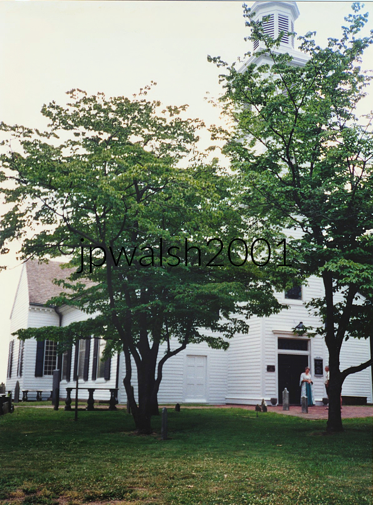
June 2001 — St. John’s Church, 2401 East Broad Street, Richmond, Virginia. Built in 1741, St. John’s Episcopal Church is Richmond’s oldest church and the site of the Second Virginia Convention, which met here on March 20, 1775. It was in this sanctuary, on March 23, 1775, that Patrick Henry (1736–1799) delivered his famous “Give me liberty or give me death” speech urging Virginia to arm its militia against the British. Delegates at the convention also significantly selected representatives for the Second Continental Congress in Philadelphia, including Thomas Jefferson (1743–1826) and Richard Henry Lee (1732–1794).
At age 39, Henry’s call for military readiness led to the creation of a committee “to prepare a plan for the embodying, arming, and disciplining” Virginia’s forces—a step that helped shape the early Continental Army. Members included George Washington (1732–1799), Jefferson, Lee, and Benjamin Harrison V (1726–1791), among others.
When we visited in June 2001, a small moment of levity occurred with the pictured guide stationed outside the church. She asked if I was familiar with “the Byrds of Virginia.” Having just come from the Virginia Museum of History & Culture—and thinking she meant the state bird—I answered confidently: “It’s the Northern Cardinal.” She looked a bit startled, if not particularly amused, at my mistake then clarified she meant the prominent Byrd family.
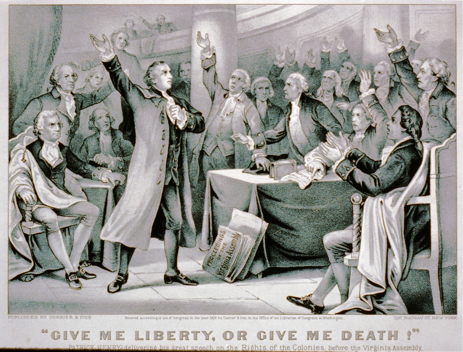
Currier & Ives Print (1870)
The 1870 Currier & Ives print Give Me Liberty or Give Me Death! depicts Patrick Henry delivering his famous March 23, 1775 speech. The moment occurred during the opening days of the Second Virginia Convention, held not in Williamsburg’s House of Burgesses but in St. John’s Church in Richmond.
Patrick Henry’s Earlier Stand Against the Stamp Act: “If this be treason, make the most of it!”
This was not Henry’s first defining defense of American liberty. A decade earlier, in 1765, he confronted the Stamp Act before the Virginia House of Burgesses. The act asserted Parliament’s authority to monitor and tax colonial documents. Henry not only denounced it but introduced resolutions declaring that American colonists possessed the same rights and privileges as Britons and, more controversially, that only the Virginia General Assembly could tax Virginians. One resolution even branded as an enemy of the colony anyone who claimed Parliament held that right.
As Henry spoke, cries of “treason!” erupted throughout the chamber. Thomas Jefferson, then a student at the College of William & Mary, watched from the gallery with John Tyler Sr. Tyler later described the moment as one “decisive of character,” recalling how Henry stood firm and replied: “If this be treason, make the most of it!”
The General Assembly adopted several of Henry’s resolutions, including those affirming equal rights for colonists and the principle of no taxation without representation. It did not pass the more radical measures asserting exclusive Virginia authority over taxation or condemning those who supported Parliament’s claims.
Foreshadowing the Revolution
Jefferson later wrote that Henry’s oratory was splendid and ahead of its time. His warnings anticipated the coming break with Britain, realized in the Declaration of Independence on July 4, 1776, and the adoption of the U.S. Constitution on March 4, 1789—still the governing framework of the United States.
Virginia — George Mason’s Gunston Hall (late 1750s), Mason Neck (June 2007):
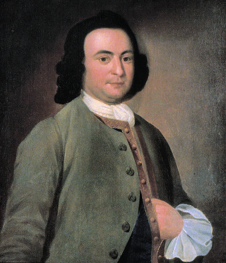
Copy of George Mason’s 1750 Wedding Portrait, Gunston Hall. This artwork is one of three copies made in 1811 by Dominic W. Boudet of the original 1750 wedding portrait of 24‑year‑old George Mason who married 16‑year‑old bride, Ann Eilbeck. The original painting, executed by colonial artist John Hesselius, is the only known portrait of George Mason painted from life. This 1811 copy is displayed at Gunston Hall.
George Mason played a major role in the Constitutional Convention of 1787 and the subsequent ratification debates. He refused to sign the Constitution because it lacked a Bill of Rights—a position that helped drive James Madison to introduce the amendments in the First Congress in 1789. The Bill of Rights were ratified in 1791 and remain foundational to American law and life.
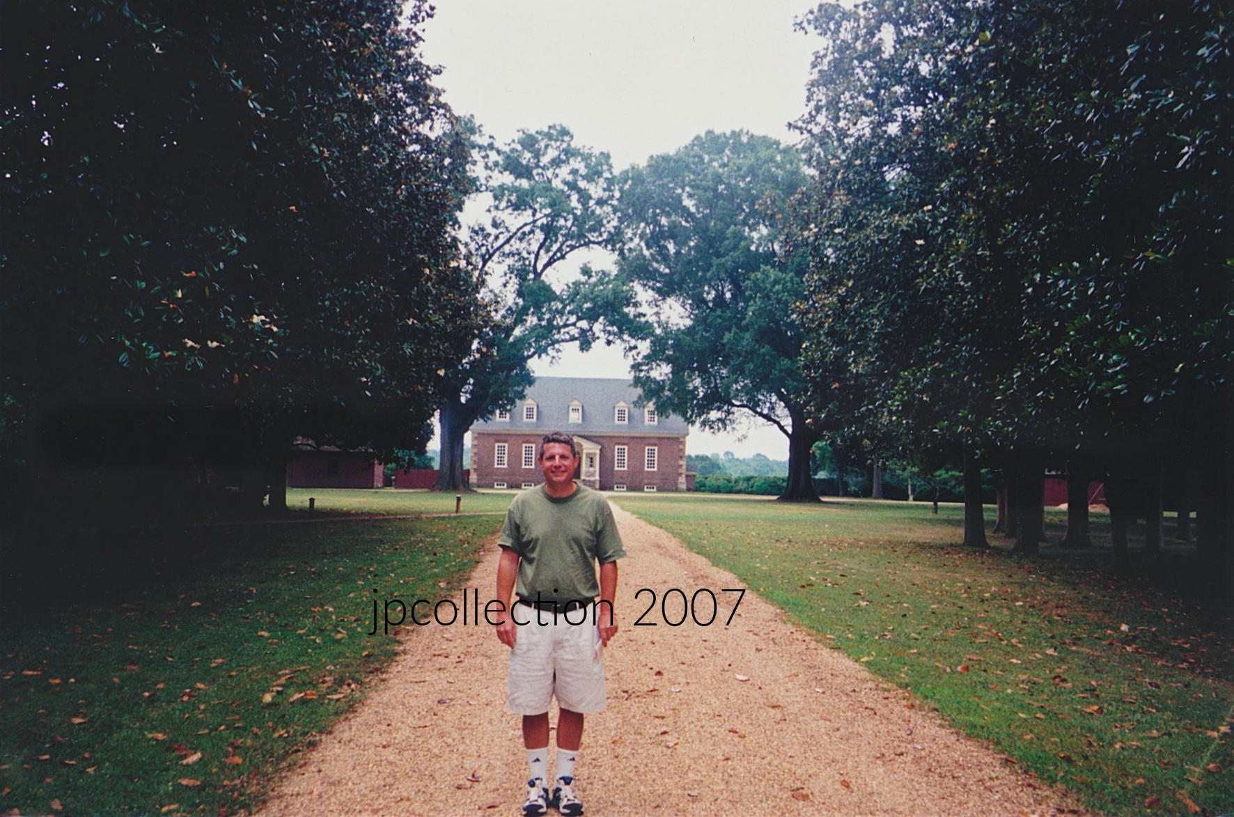
June 2007 — Built between 1755 and 1759 near the Potomac River, Gunston Hall was the home of George Mason (1725–1792), a Founding Father whose political thought shaped both Virginia and the nation. The estate remains one of the most significant surviving examples of mid‑18th‑century architecture in the region.
Author of the Virginia Declaration of Rights
Mason was the principal author of the Virginia Declaration of Rights (1776) and the Virginia Constitution, documents that articulated protections against government tyranny and affirmed essential civil liberties. In 1776, Thomas Jefferson drew directly from Mason’s language and ideas when drafting the Declaration of Independence, paying explicit homage to Mason’s work.
Family Life, Business, and Slavery
Mason was both a shrewd political thinker and a slaveowner. He inherited 35 enslaved people from his father’s estate and ultimately enslaved at least 300 individuals, many of whom lived and labored on Mason Neck. His will did not manumit any of the people he held in bondage. Yet Mason’s writings reveal a deep dislike of slavery as an institution, including his 1774 support for ending the transatlantic slave trade—a tension that remains central to understanding his legacy.
Later Ownership and Preservation
The Mason family-owned Gunston Hall until 1867. In 1912, the property was purchased by Chicago-based Marshall Field & Company executive Louis Hertle whose second wife, Eleanor Daughaday, a prominent Chicago native, belonged to The National Society of The Colonial Dames of America. The couple restored the mansion to its original plan and gifted it to the Commonwealth of Virginia in 1949, with administration entrusted to the Colonial Dames.
Origins of the Mason Family in Virginia and the Gunston Hall name
The Mason family emigrated to Virginia in the mid‑17th century from Gunstone, in South Staffordshire—giving the estate its name. Like many families from the region near Birmingham, the Masons supported the Crown during the Wars of the Three Kingdoms (1642–1651). After the Royalists were defeated, the family left England and settled in Virginia, where they became prominent landowners. see – https://gunstonhall.org/visit/guide/ – retrieved June 7, 2025.
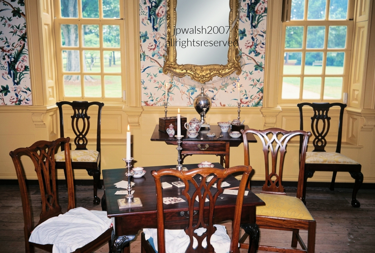
July 2007 — Chinese Chippendale Room (West Dining Room), Gunston Hall, Mason Neck, Virginia. The room’s vivid yellow‑ochre walls, pagoda‑style mantel, and the floral Chippendale pillars and arching wallpaper along the sides form the only fully coordinated Chinoiserie interior known to survive from colonial America. Its unified design makes the space one of the most distinctive and carefully preserved rooms in George Mason’s estate.
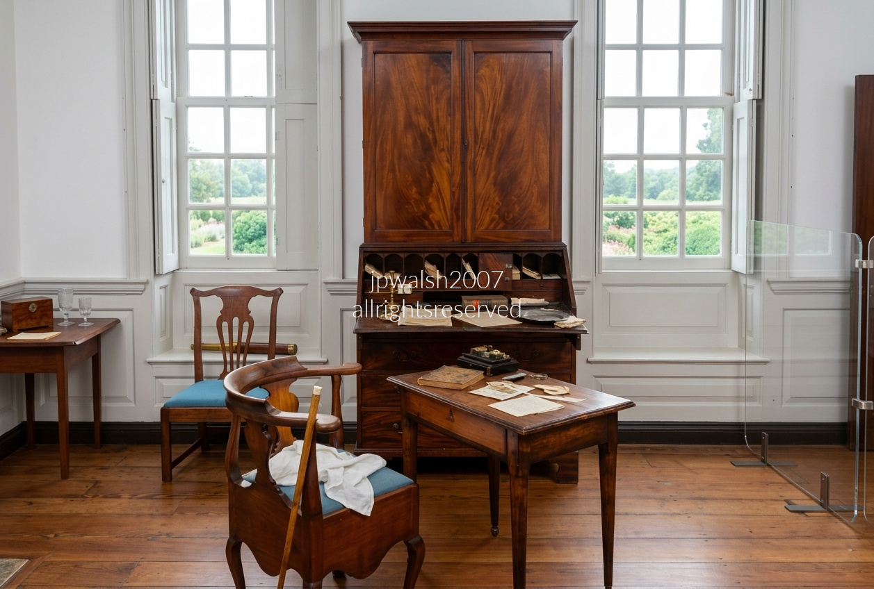
George Mason’s private study (“Little Parlor”), Gunston Hall. Curated with high‑quality 18th‑century furnishings, the room centers on an imposing mahogany Chippendale secretary desk—its slant‑front writing surface opening to a small interior gallery of pigeonholes, document slots, and hidden drawers once used for private letters and estate papers. In front sits a simple walnut writing table set with manuscripts, inkwells, and loose papers to evoke an active workspace. The foreground corner chair, a Burgomaster or roundabout type, features a curved armrest, three splats, and a blue‑cushioned seat; writers favored this design because its open orientation let long coats and waistcoats drape comfortably. The background holds classic mahogany Chippendale side chairs with openwork splats, square legs, and matching blue upholstery, along with a small side table at left for extending the working surface. Typical of Georgian architecture, the tall 12‑over‑12 double sash windows have deep interior wells framed by layered wood paneling, with folding wooden shutters concealed within the recesses to block light, retain heat, or secure the room.
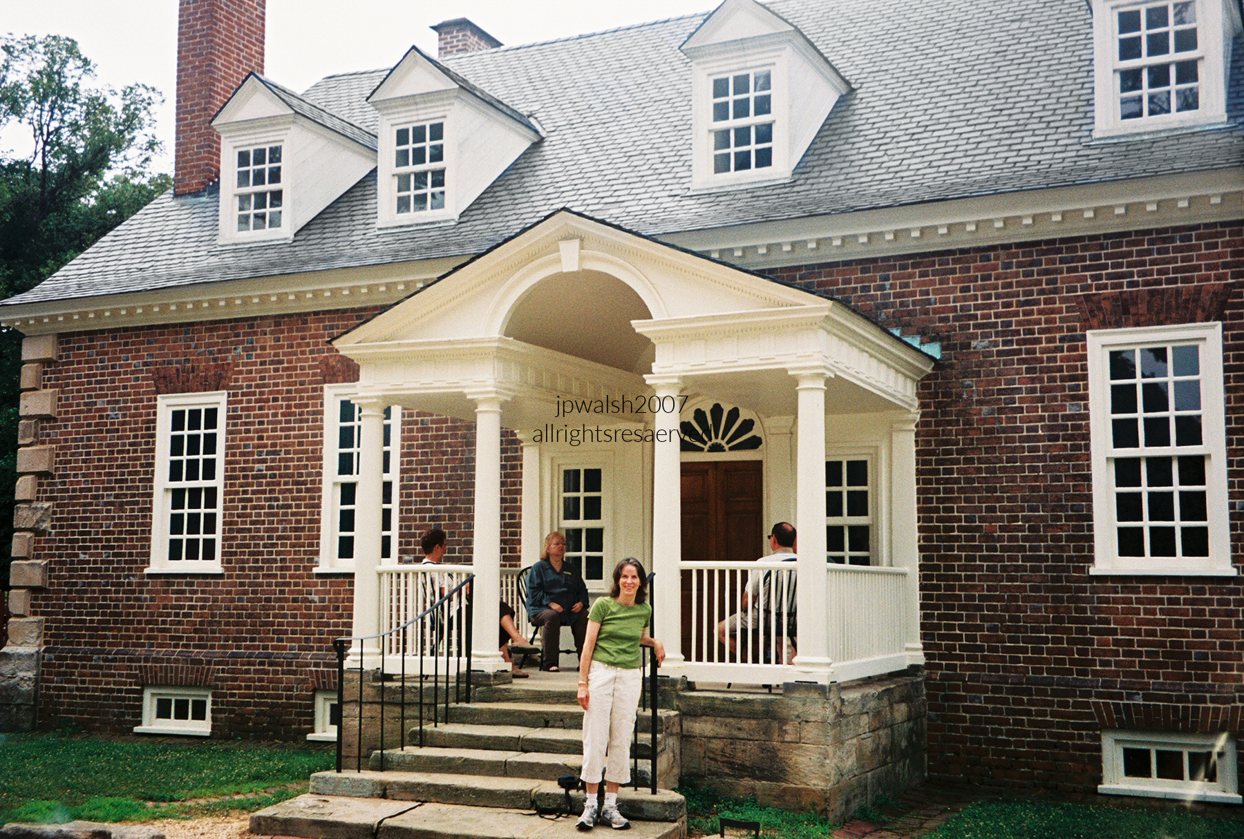
Land-front porch at George Mason’s Gunston Hall. Designed by William Buckland, the porch is a masterclass in American colonial architecture that integrates classical Roman proportions into a Georgian entry design. Its semi-enclosed structure rests on a raised stone foundation and is supported by clean, white Roman Doric wooden pillars. Above the steps, the central pediment carries a sharply carved gabled archway that introduces a refined Neoclassical symmetry to the entrance. Set just behind the columns, the main wooden door is crowned by a semicircular fanlight with a sunburst pattern, completing the porch’s distinctive architectural composition. William Buckland designed both the land-front and the river-front porches. The river-front porch is celebrated as one of the earliest examples of Colonial Gothic Revival style in America. Gunston Hall | SAH ARCHIPEDIA & Jane Griswold Radocchia: The Geometry of Gunston Hall’s North Porch – retrieved August 3, 2026.
Virginia — Manassas National Battlefield Park (dedicated 1936), Prince William County (June 2001):

June 2001 — Manassas National Battlefield Park, Virginia. The monument to Brigadier General Thomas “Stonewall” Jackson (1824–1863), commissioned by the Virginia Assembly in 1936 and dedicated in August 1940, stands on Henry Hill, the ground where Jackson earned his enduring nickname. On July 21, 1861, during the First Battle of Manassas, Jackson’s brigade held firm against the Union advance, prompting Confederate General Barnard Bee to rally his men by pointing toward Jackson’s line and declaring that he stood “like a stone wall.” The phrase took hold immediately, and the site has remained the symbolic birthplace of Jackson’s wartime legend. 99% 6.82mb see – https://www.nps.gov/places/000/stonewall-jackson-monument.htm
Virginia: Oak Grove Cemetery, Lexington, Virginia (June 2001):
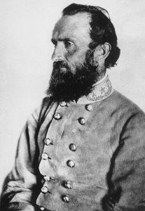
“Chancellorsville” Portrait of General Thomas “Stonewall” Jackson (1824–1863). This photograph was taken on April 26, 1863, at a mobile outdoor studio set up on a Spotsylvania County farm—exactly seven days before Jackson was accidentally shot by his own pickets during the Battle of Chancellorsville on May 2. He died eight days later from complications related to the wound.
On May 3, 1863, after learning that Jackson’s shattered left arm had been successfully amputated, General Robert E. Lee sent a message meant to comfort him: “He has lost his left arm; but I have lost my right arm.” When Jackson heard Lee’s words, he reportedly turned his face away and replied with emotion: “Better ten Jacksons should fall than General Lee.”
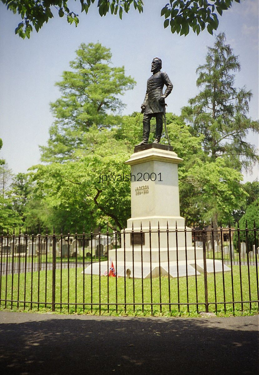
June 2001 — Thomas “Stonewall” Jackson (1824–1863) Gravesite, Oak Grove Cemetery, Lexington, Virginia. After Jackson’s death from complications following a “friendly fire” wound at the Battle of Chancellorsville in May 1863, his body was taken to Richmond, placed in a casket, and transported to Lexington, where it lay in state at the Virginia Military Institute. Before the Civil War, Jackson had served at VMI as a professor of Natural Philosophy and artillery tactics.
Jackson was funeralized at Lexington Presbyterian Church, his longtime parish, and buried in the family plot at Oak Grove Cemetery. His remains were later disinterred and reburied beneath the present statue, which now marks the site. see- https://www.vmi.edu/archives/manuscripts/stonewall-jackson-resources/professor-jackson-at-vmi/ – retrieved February 22, 2024. (
Virginia — Fredericksburg and Spotsylvania National Military Park (The Battle of Chancellorsville, April 30 to May 6, 1863) (July 2001):

June 2001 — The Map Sign Photo (May 2, 1863): This landmark tour stop marks the staging ground for one of the most famous tactical maneuvers of the Civil War. After executing a stealthy 12-mile march through the dense Virginia Wilderness, Confederate General Stonewall Jackson secretly formed nearly 30,000 soldiers into a massive, two-mile-long battle line. At 5:15 PM, his men charged out of the woods, completely blindsiding and shattering the unsuspecting Union XI Corps on the extreme right flank of the Federal army. The illustrated battlefield map uses tactical arrows over a bird’s-eye view of the topography to explain how Jackson’s columns successfully marched around General Joseph Hooker’s flank to strike from behind, setting off a night of chaotic fighting.
Fresh off this highly successful afternoon assault, Jackson rode forward into the pitch-black woods along the Orange Plank Road at approximately 9:15 PM to scout out positions for a potential night pursuit. As Jackson and his staff trotted back toward their own lines about 2 miles from this sign, high nerves led soldiers from the 18th North Carolina Infantry to mistake the approaching horses for advancing Union cavalry. The regiment opened fire into the darkness, mistakenly shooting Jackson three times—twice in his left arm and once in his right hand. Following a battlefield evacuation, his left arm was amputated at a nearby field hospital. Though initial signs pointed toward recovery, Jackson contracted pneumonia and passed away eight days later on May 10, 1863.
Friendly Fire from North Carolinians Killed Stonewall Jackson | NC DNCR; The Death of Jackson – The New York Times; Chancellorsville Battlefield Tour – Fredericksburg & Spotsylvania National Military Park (U.S. National Park Service) – retrieved August 3, 2026.
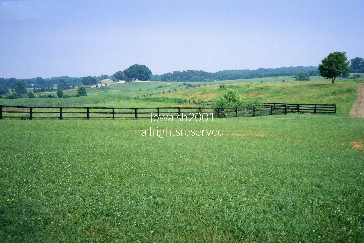
June 2001 —The Hazel Grove Photo (May 3, 1863): Capturing the direct aftermath of the lines shifting overnight from Jackson’s flank attack, this view looks from the Fairview clearing toward Hazel Grove on the Chancellorsville Battlefield in Spotsylvania County, Virginia. The perspective looks directly from the Union XII Corps artillery line, where Federal guns were massed to fire southward and southwestward across the open valley. The rolling meadow visible in the distance is Hazel Grove, a fiercely contested strategic high point that held the old Hazel Grove farm. From this ground, Union batteries initially held a dominant position—until General Joseph Hooker unwisely ordered his troops to abandon the vital ridge. Confederate Colonel Porter Alexander quickly occupied the high ground, massed thirty cannons on the crest, and used the superior elevation to bombard the Union line at Fairview, forcing a Federal retreat in one of the battle’s most decisive tactical exchanges.
Ohio — Wedding party, Marblehead Peninsula (June 2002):

Ohio — James A. Garfield National Historic Site (1876), Mentor (June 2002):
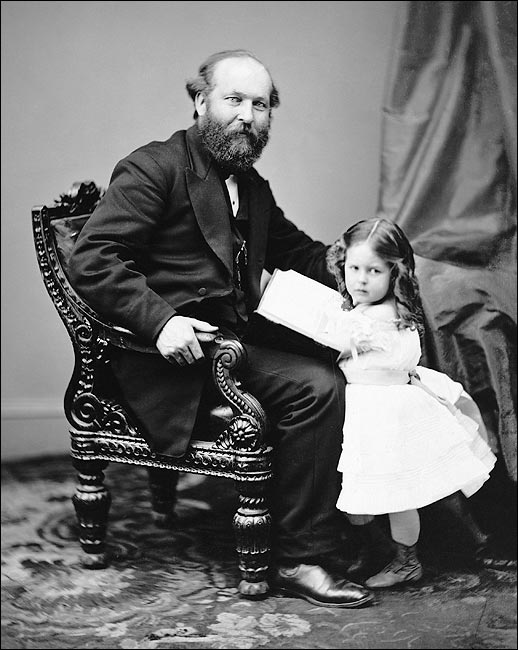
Above: President James A. Garfield and Daughter Mary “Mollie” Garfield in a photograph taken in 1870 or 1871 at Matthew Brady’s Washington, D.C. studio. The portrait of Garfield—then a U.S. Congressman from Ohio—with his only surviving daughter reflects a typical Victorian family pose, with young Mollie leaning against her father’s knee as they sit together over an open book.
On July 2, 1881, just four months into his presidency, Garfield was shot by Charles Guiteau at the Baltimore and Potomac Railroad Station in Washington, D.C., a site now occupied by the National Gallery of Art. Mollie, age 14, kept a detailed diary as she and her mother, Lucretia Garfield, maintained a long bedside vigil—first at the White House, then at an oceanfront cottage in Elberon, New Jersey—during Garfield’s agonizing 80‑day decline. He died on September 19, 1881, leaving behind his wife and five children.
In the aftermath of the second assassination of a young U.S. president in less than 20 years, the nation rallied around the grieving family. A public subscription fund raised hundreds of thousands of dollars, ensuring lifelong financial security for Lucretia, Mollie, and Garfield’s four sons. Public domain.
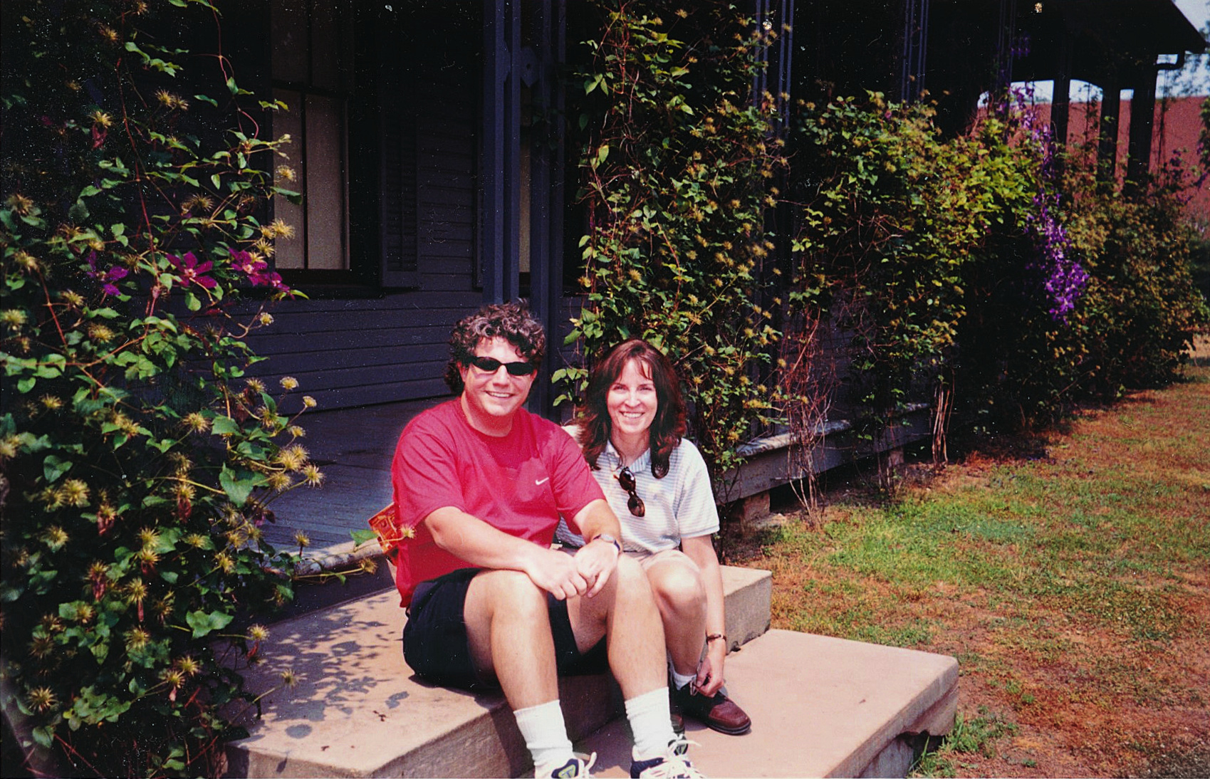
June 2002 — Me and Deb on the porch of the James A. Garfield National Historic Site in Mentor, Ohio. A professional teacher with a lifelong passion for learning, James A. Garfield rose from poverty to public service through education, ultimately becoming the 20th President of the United States.
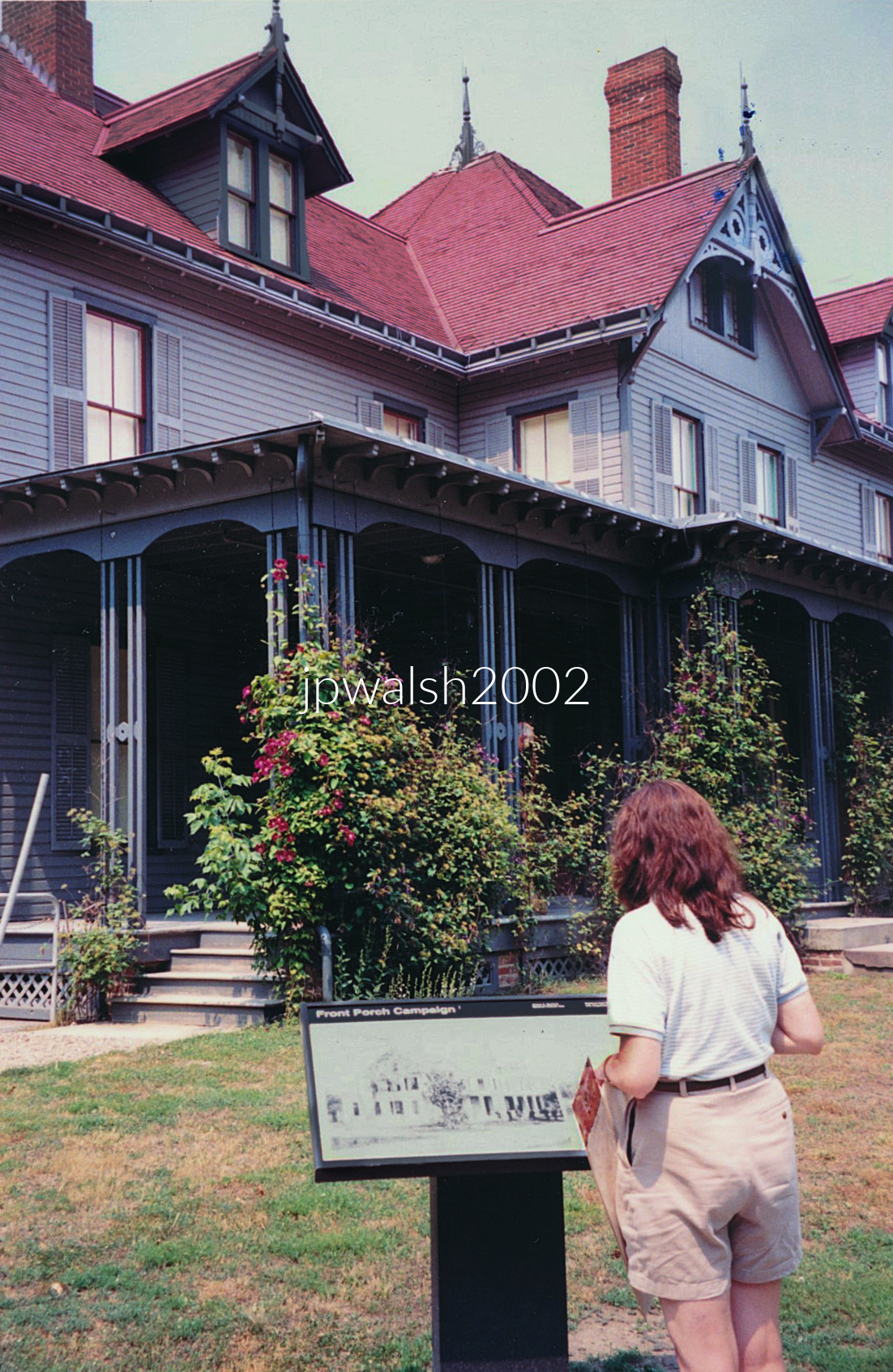
June 2002 — Lawnfield Front Porch, Mentor, Ohio. Garfield purchased this property in 1876, expanding a modest 1.5‑story farmhouse to accommodate his large family and give them distance from city life. During the 1880 presidential campaign, he chose to remain here at home, drawing reporters and voters directly to Mentor. From this wrap‑around front porch, Garfield delivered speeches to more than 15,000 visitors who gathered on the lawn throughout the summer. He won the presidency later that year.
Following President James A. Garfield’s assassination in September 1881, his widow Lucretia Garfield oversaw the construction of a large, fireproof stone wing at the rear of the family home to safeguard his extensive collection of books, diaries, and political papers. This addition is historically recognized as the first presidential library in United States history.
Ohio — William Howard Taft National Historic Site (Birthplace, 1857), Cincinnati (June 2005):
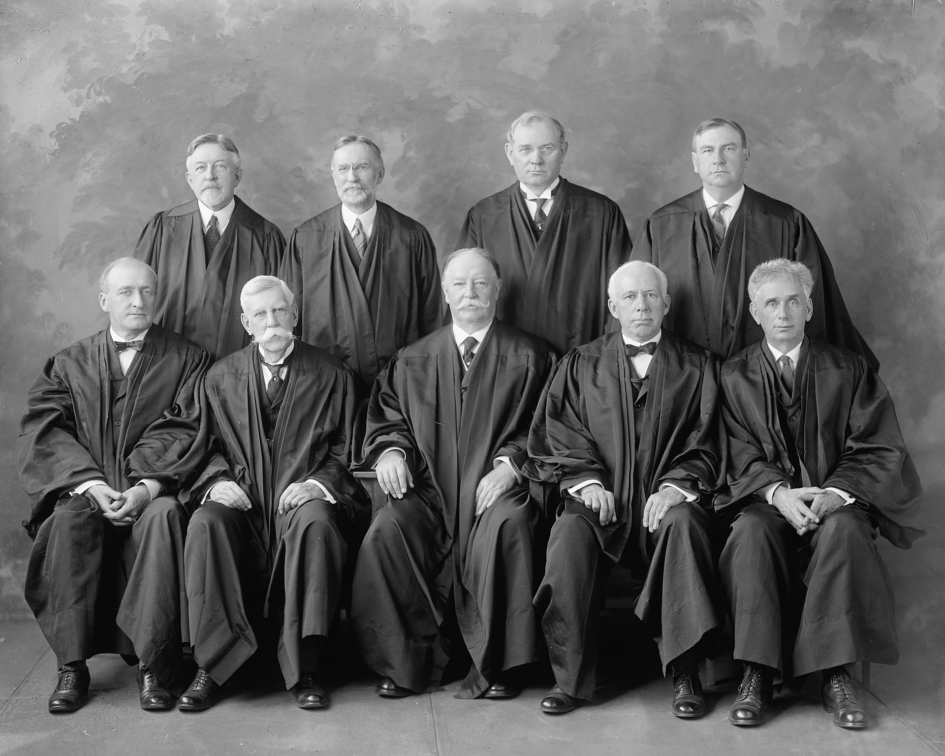
Supreme Court of the United States, Taft Court (March 1925–February 1930). This photograph shows the members of the Taft Court, with Chief Justice William Howard Taft at center. Public Domain.
Seated in the front row are James Clark McReynolds (appointed by Woodrow Wilson; former U.S. Attorney General, served 1914–1946), Oliver Wendell Holmes Jr. (appointed by Theodore Roosevelt; former Chief Justice of the Massachusetts Supreme Judicial Court, served 1902–1932), William Howard Taft (appointed by Warren Harding, served 1921–1930), Willis Van Devanter (appointed by Taft; former judge of the U.S. Court of Appeals for the Eighth Circuit, served 1911–1937), and Louis Brandeis (appointed by Wilson; known as “the people’s lawyer,” served 1916–1939).
Standing are Edward Terry Sanford (appointed by Harding; former judge of the U.S. District Court for the Eastern District of Tennessee, served 1923–1930), George Sutherland (appointed by Harding; former Republican senator from Utah, served 1922–retired 1938), Pierce Butler (appointed by Harding; railroad lawyer, served 1923–1939), and Harlan F. Stone (appointed by Calvin Coolidge; former U.S. Attorney General, served 1925–1946).
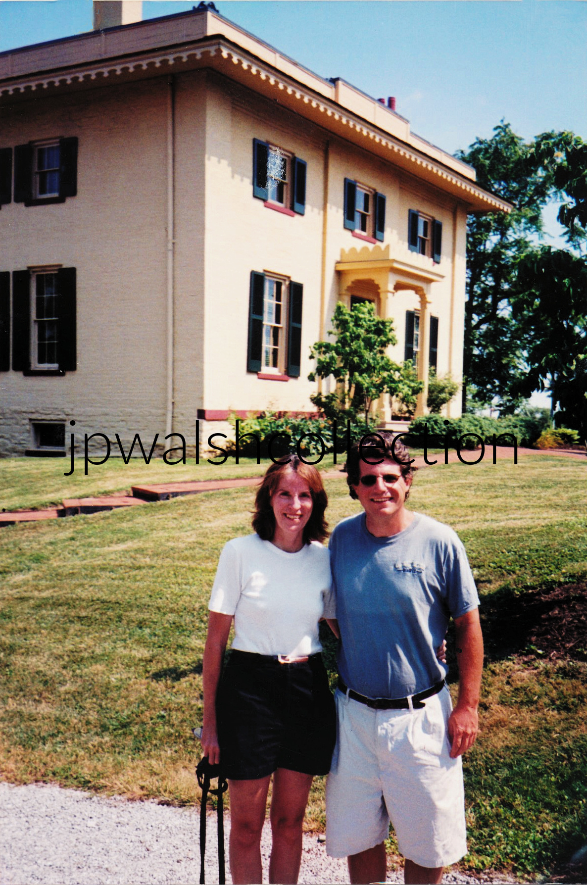
June 2005 — Deb and me at William Howard Taft National Historic Site, 2038 Auburn Avenue, Cincinnati, Ohio.
Birthplace and Early Life
Built in 1845, this Greek Revival house was the birthplace and childhood home of William Howard Taft (1857–1930), the future 27th President of the United States (1909–1913) and 10th Chief Justice of the United States (1921–1930). Taft grew up in this two‑story brick residence in Cincinnati’s Mount Auburn Historic District.
Education and Early Legal Career
Taft attended Yale University (1874–1878), graduating second in a class of 132. Returning to Ohio, he studied law at the University of Cincinnati while working part‑time as a courthouse reporter for the Cincinnati Commercial. He passed the bar in May 1880. With help from his politically connected father, Taft became assistant prosecutor of Hamilton County in 1881 and later served as a lawyer until his appointment as a judge of the Cincinnati Superior Court in 1887.
In 1886, Taft married Helen “Nellie” Herron (1861–1943), whose political ambitions and family connections—her father had partnered with President Rutherford B. Hayes—would shape Taft’s future. The couple lived at 1763 East McMillan Street in Cincinnati.
Rise in Federal Service
In 1890, Taft—then 5’11” and 340 pounds—was appointed 6th U.S. Solicitor General, the third‑highest position in the Department of Justice. Living in Washington, he befriended Theodore Roosevelt, who tried unsuccessfully to secure him a Navy Department post. Taft instead accepted a judgeship on the U.S. Court of Appeals for the Sixth Circuit, covering Ohio, Michigan, Kentucky, and Tennessee.
From 1896 to 1900, Taft simultaneously served as a law professor and dean at the University of Cincinnati Law School. Though he longed for a Supreme Court seat, President William McKinley appointed him Governor‑General of the Philippines (1900–1903). There Taft established a civilian government, drafted laws, built administrative structures, and earned a reputation among Filipinos for even‑handed governance. He declined multiple Supreme Court offers from Roosevelt, determined to finish the work he had begun. (The Philippines achieved Taft’s ultimate goal of self‑rule and independence in 1946.)
Secretary of War and Global Responsibilities
In 1904, Taft accepted Roosevelt’s offer to become Secretary of War (1904–1908). He became Roosevelt’s chief agent in foreign affairs, supervising construction of the Panama Canal, overseeing administration in the Philippines, and serving as provisional governor of Cuba. He traveled widely on behalf of the President, cementing his status as Roosevelt’s most trusted Cabinet member.
Election of 1908 and the Presidency
At the 1908 Republican National Convention in Chicago, Taft won the nomination on the first ballot with 702 votes (491 needed). He won both the popular and electoral votes in the general election. As president, Taft continued Roosevelt’s trust‑busting reforms but faltered on tariff policy, straining his relationship with Roosevelt and contributing to a split within the Republican Party.
Return to Academia and Wartime Service
After losing the 1912 election to Democrat Woodrow Wilson, Taft returned to Yale to teach law (1913–1918). During World War I, he served as co‑chair of the National War Labor Board and supported Wilson’s foreign policy, including U.S. participation in the League of Nations. He resumed teaching at Yale in 1919.
Chief Justice of the United States
In 1921, Taft achieved his lifelong ambition when he was appointed Chief Justice of the Supreme Court. He wrote 253 opinions, many of which placed limits on governmental—especially Congressional—power. Taft served until shortly before his death on March 8, 1930, at age 72.
Legacy
William Howard Taft remains the only person in U.S. history to have served as both President and Chief Justice. He was the first president—and first Supreme Court Justice—to be buried in Arlington National Cemetery.
Ohio — McKinley National Memorial (dedicaed 1907), Canton (June 2001):
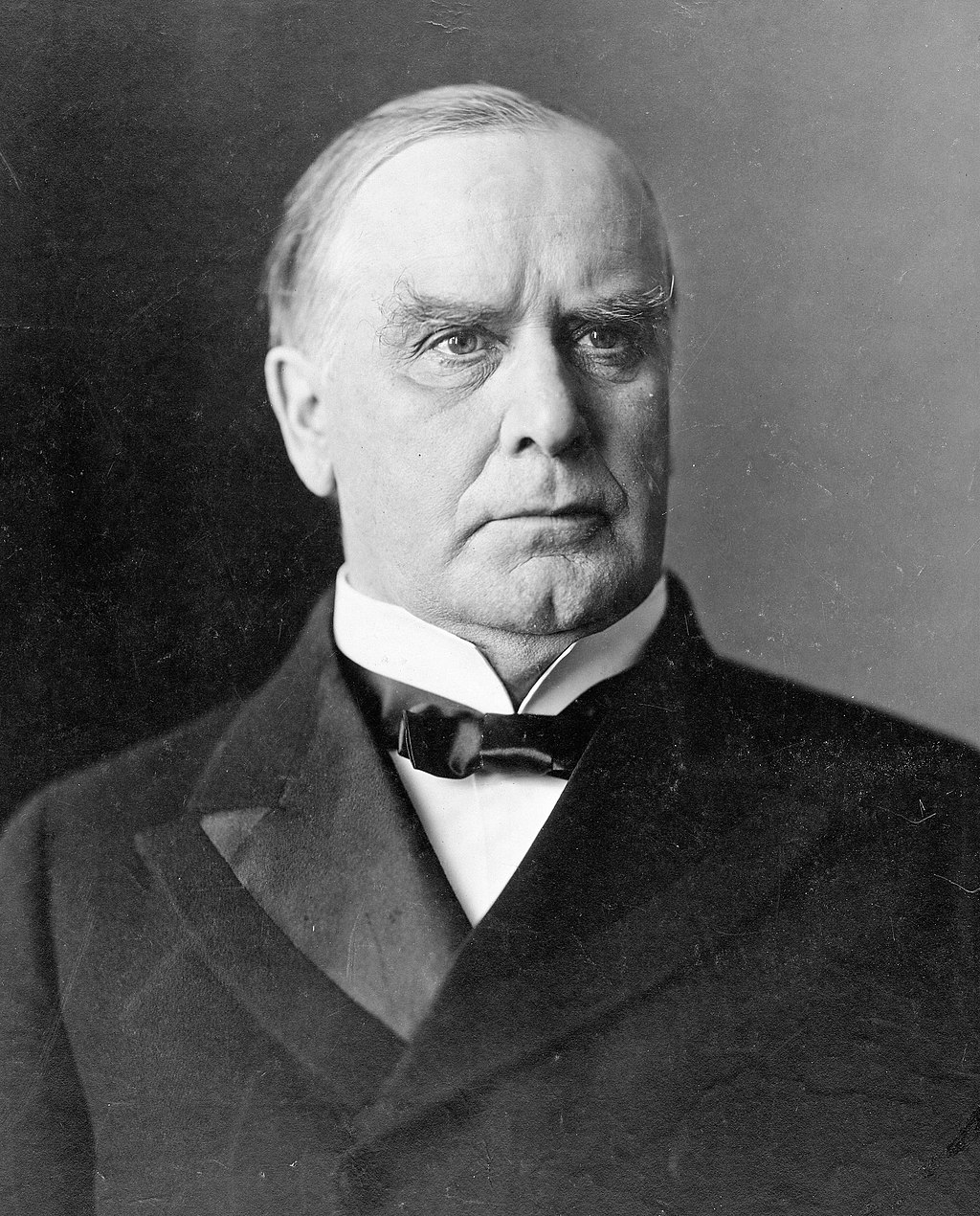
President William McKinley, 1900. Before his successful “front porch” campaign in Canton, Ohio, during the 1896 presidential election, William McKinley had served three terms in the U.S. House of Representatives and as Governor of Ohio. In 1901, McKinley became the third U.S. president assassinated, following Abraham Lincoln in 1865 and James A. Garfield in 1881. He was the last president to be killed by an assassin until John F. Kennedy in 1963. Public domain.
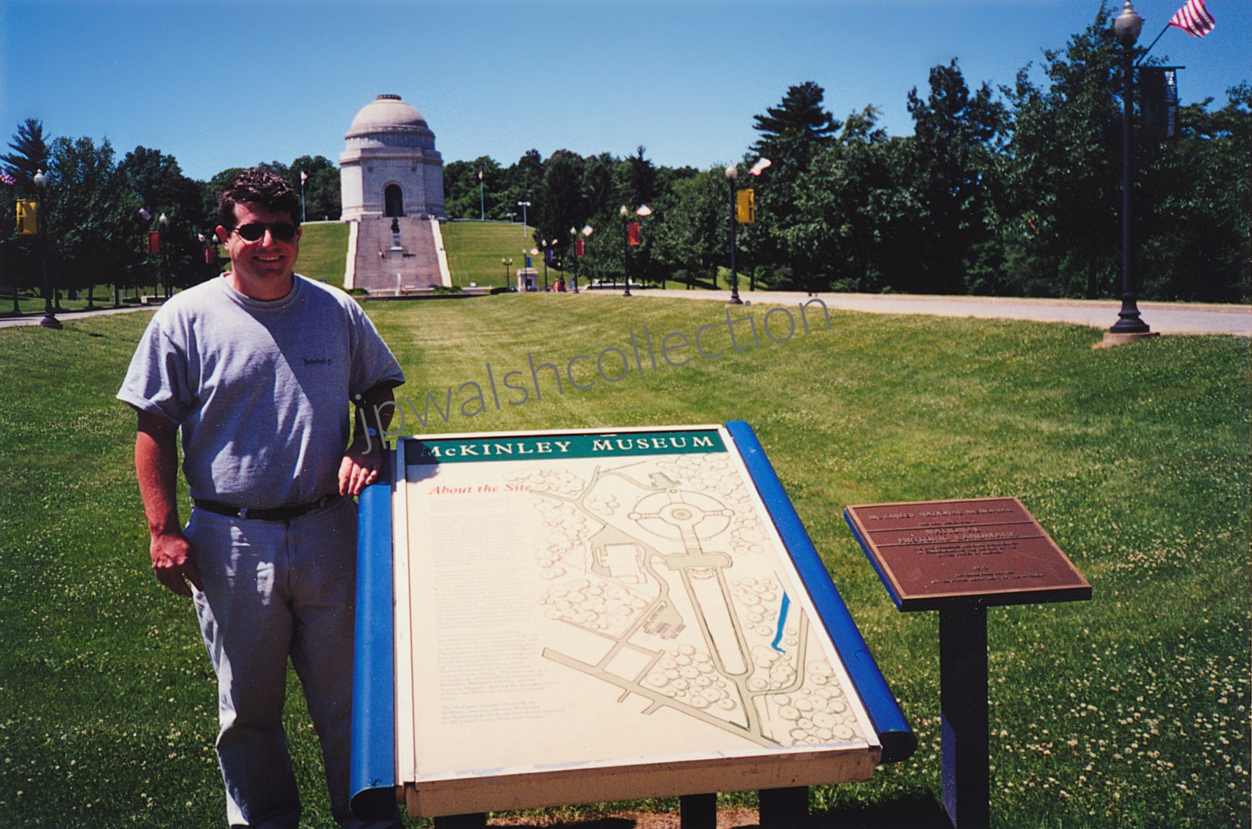
June 2001 — Me at McKinley National Memorial, Canton, Ohio. William McKinley (1843–1901), the 25th President of the United States, served from 1897 until his assassination on September 14, 1901. A former Union officer, he was the last Civil War veteran to become president.
Construction of the memorial began on June 6, 1905 and was completed in September 1907. President McKinley and his wife, Ida McKinley, rest at the center of the rotunda in matching marble sarcophagi, placed on an elevated altar. Their two young daughters are interred in the wall behind them. The interior dome measures 50 feet in diameter and rises 77 feet from the floor to its highest point. see – https://mckinleymuseum.org/mckinley-national-memorial/ – retrieved May 25, 2025.
Ohio — Harding Tomb (dedicated 1931), Marion (June 2001):

Warren G. Harding, 1920 (Harris & Ewing). Elected in 1920, just after World War I, Warren G. Harding campaigned on a promise of “Return to Normalcy.” Possessing movie‑star looks and a resonant speaking voice, Harding served as president from 1921 until his sudden death on August 2, 1923, at age 57. Popular during his lifetime, Harding’s reputation shifted dramatically after his death as several scandals—most notably Teapot Dome—came to light, reshaping public opinion of his presidency. Public domain.
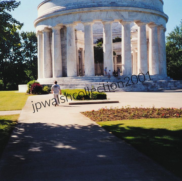
June 2001 — Morning visit to the final resting place of Warren G. Harding (1865–1923), the 29th President of the United States (1921–1923), and First Lady Florence Kling Harding (1860–1924) stands in Marion Cemetery. After President Harding’s death on August 2, 1923, his body was placed in the cemetery’s Receiving Vault until a permanent memorial could be constructed. Florence Harding died the following year, and her remains were also placed in the vault. 60% see – https://hardingpresidentialsites.org/harding-memorial/ – retrieved August 10, 2025.
Completion of the Harding Memorial
The Hardings were moved to the completed memorial in December 1927, and in 1931 President Herbert Hoover formally dedicated the site. The four-year time lag was caused entirely by political embarrassment over the scandals of the Harding administration, which made his Republican successors deeply reluctant to associate with his legacy
When construction of the Harding Memorial finished in December 1927, President Calvin Coolidge was in office. Coolidge, formerly Harding’s vice president, had spent years distancing his administration from the corruption that emerged after Harding’s death.
Hoover’s June 16, 1931, Dedication
By 1931, President Herbert Hoover recognized that continuing to refuse to dedicate the tomb of a deceased president appeared petty and politically weak. He presided over the dedication on June 16, 1931, openly acknowledging the controversy surrounding Harding’s administration. Hoover stated that Harding had suffered a “dim realization that he had been betrayed by a few of the men whom he had trusted.”
Teapot Dome and Cabinet Corruption
The scandals of the Harding administration represented an unprecedented breach of public trust. Harding’s Secretary of the Interior, Albert Fall, secretly transferred federal naval oil reserves at Teapot Dome, Wyoming, and Elk Hills, California, from the Navy to his department, bypassed competitive bidding, then leased the fields to private oil tycoons, and accepted a $400,000 payoff ($7.8 million in 2026) disguised as interest‑free loans.
Veterans’ Bureau Fraud
In the wake of World War One with over 200,000 wounded U.S. service members, Harding’s friend Charles Forbes, appointed to lead the Veterans’ Bureau, took kickbacks from contractors amounting to $200 million ($4 billion in 2026), exploiting the newly formed agency for personal gain.
Department of Justice Abuses
At the Department of Justice, Attorney General Harry Daugherty and his aide Jess Smith trafficked in illegal liquor permits, smuggled narcotics, and sold federal pardons to wealthy criminals, turning the department into a hub of graft and influence‑peddling.
Harding’s Leadership Failures and Death
Harding was never directly implicated in planning the thefts, but his administrative lack of oversight, executive weakness, and poor judgment allowed corruption to flourish at the highest levels of the American people’s government. He died suddenly of a heart attack in August 1923, just as congressional investigations were beginning to expose the wrongdoing, leaving his successors to confront a deeply cynical and disillusioned American public.
Pennsylvania — Gettysburg National Military Park, 1863 (April 2006) (July 2007):


July 2007 — Cemetery Ridge at the Gettysburg National Military Park. This exact area was the focal point of Pickett’s Charge on July 3, 1863.
The Angle
The low stone wall on the right is the historic landmark known as The Angle. Built by local farmers to divide their fields, it later served as a defensive breastwork for Union troops. The sharp 90‑degree bend marks what is widely called the “High Water Mark of the Confederacy,” the furthest point reached by the southern advance being repulsed
The Statue with the Bayonet
The bronze figure of the advancing Union soldier is the 111th New York Infantry Regiment Monument. It stands on the ground where the regiment held the stone wall during Pickett’s Charge, and where three color bearers and two officers were killed in the fighting.
The Obelisks
The tall, light‑colored granite obelisk right behind the New York bayonet statue is the 69th Pennsylvania Infantry Regiment Monument. This Irish heritage unit formed the core of the Union line at the moment of the Confederate breakthrough attempt. The lower obelisk in the field on the right marks the position of the 71st Pennsylvania Infantry, another key point where the struggle over the wall intensified.
The White Dome Structure
Centered in the background is the massive State of Pennsylvania Monument, the largest monument on the Gettysburg battlefield. Its Beaux‑Arts granite design honors the roughly 34,500 Pennsylvanians who fought in the battle.
The Tall Hill in the Distance
The tree‑covered rise in the right background is Little Round Top, the Union army’s extreme left flank. It was the scene of desperate fighting on the second day of the battle, most famously defended by Colonel Joshua Lawrence Chamberlain and the 20th Maine.
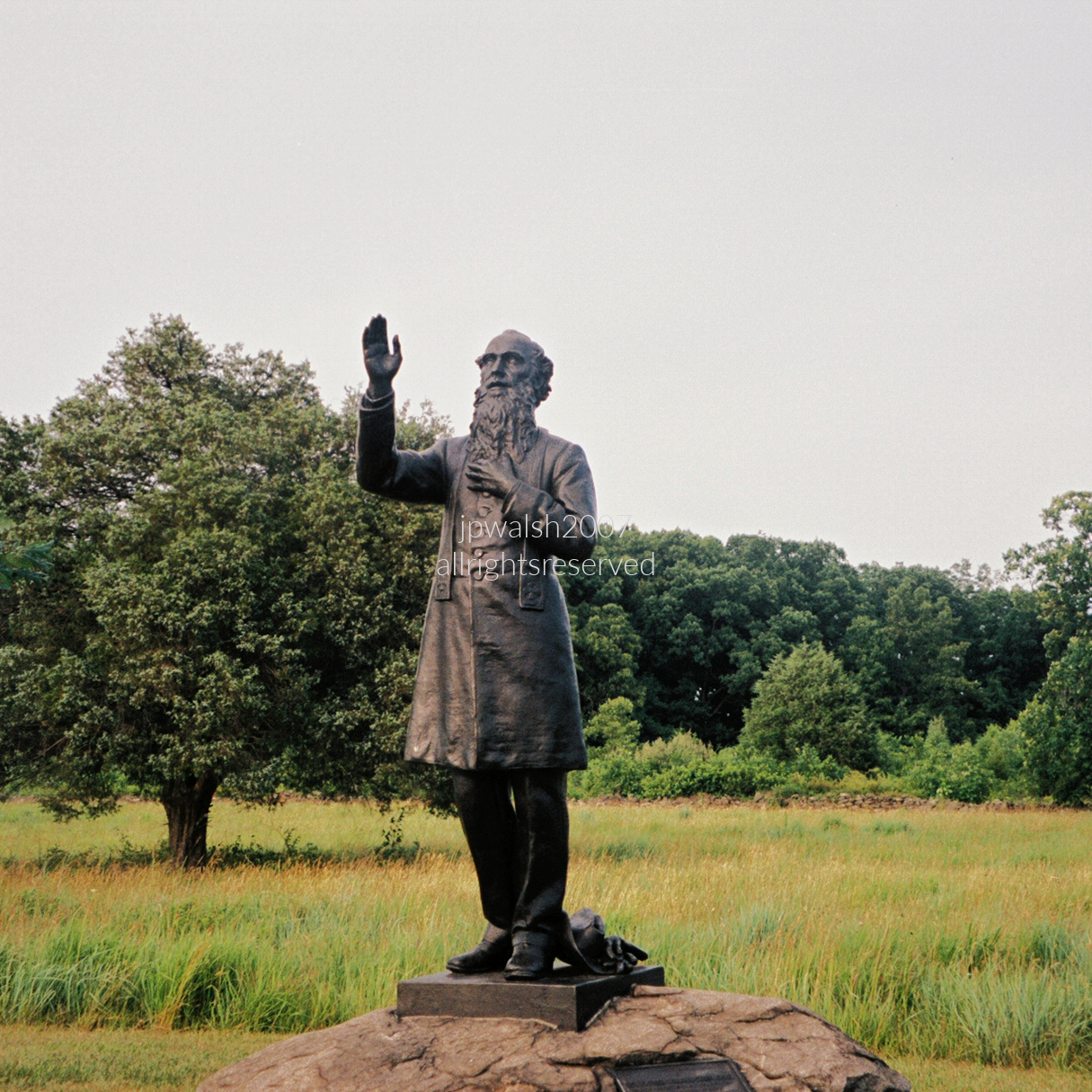
July 2007 — Monument to Father William Corby, C.S.C., Gettysburg National Military Park. The bronze figure shows Father Corby in the moment he became a defining presence on July 2, 1863, offering general absolution from atop this exact large boulder to the soldiers of the Union Irish Brigade before they marched into the brutal fighting in the Wheatfield. Sculpted by Samuel Murray and dedicated in October 1910, the monument marks the exact ground where Corby stood, preserving one of the most remembered acts of spiritual courage on the battlefield.
Eisenhower National Historic Site in Gettysburg, Pennsylvania (April 2006)

April 2006 — the back lawn and garden of the Eisenhower farm. Dwight and Mamie Eisenhower purchased the 189-acre property in late 1950 for $40,000, then fully renovated the 19th century brick farmhouse during Ike’s first presidential term. It served as their weekend retreat while they lived in the White House and became their full-time residence after 1961.
In November 1967, the Eisenhowers made an unusual decision: they donated the entire house and farm to the National Park Service before their death. The agreement granted them lifetime living rights and after Ike’s death in 1969, Mamie lived here until her death in 1979. The NPS assumed full control and opened the site to the public in June 1980.
The white painted brick and deep forest green shutters preserve the farm’s 1950s rural aesthetic, the look it carried during its years as a Cold War presidential retreat. The delicate white decorative ironwork framing the glass room is a hallmark of the rear façade. Behind it, the large arched glass panels form the famous sun porch or solarium—the Eisenhowers’ favorite room, where they spent evenings reading, playing cards, watching early television, and painting landscapes.
General Eisenhower had a lifelong passion for horses, and the farm maintained a small herd of Quarter Horses and Arabians during the years the family lived there. The National Park Service preserves the historic stables, pastures, and lower‑level barn stalls exactly as they appeared in the Eisenhower era, but the buildings today remain empty, maintained as architectural and landscape artifacts rather than active livestock facilities.
Pennsylvania — Carpenters’ Hall (1770-1774), Philadelphia (September 2001):
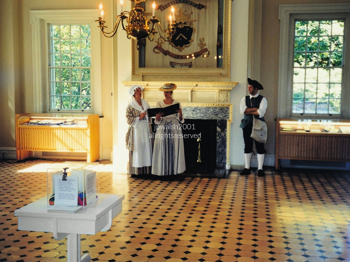
September 2001 — Interior, Carpenters’ Hall (1770–1774), Independence National Historical Park, Philadelphia. The two‑story brick meeting hall, built for and still privately owned by the Carpenters’ Company of Philadelphia—the nation’s oldest surviving craft guild—hosted the First Continental Congress from September 5 to October 26, 1774. Delegates from twelve colonies met here, including John Adams, Samuel Adams, George Washington, and Patrick Henry, and sent formal appeals to King George III urging repeal of the Intolerable Acts.
In May 1775, as tensions escalated after Lexington and Concord, the Second Continental Congress convened in nearby Independence Hall. See – https://www.carpentershall.org/ – retrieved February 22, 2024
New Jersey-Pennsylvania border — Delaware River at Washington Crossing Historic Park (August 2005):

August 2005 — This exact stretch of the riverfront preserves the precise point of embarkation where General George Washington and 2,400 Continental Army troops famously crossed the the ice-choked Delaware River on Christmas night in 1776. Looking straight across the river through the trees, is the shoreline of the sister park, Washington Crossing State Park, on the New Jersey side.

The Passage of the Delaware, 1819, Thomas Sully (1783-1872), Oil on canvas, 372.11 x 525.78 cm (146 1/2 x 207 in.), MFA BOSTON. Commissioned by North Carolina for a public building, Thomas Sully’s monumental canvas (twelve feet tall by seventeen feet wide) transforms the frigid December crossing into a near‑mythic national drama. On that night, Washington guided his exhausted troops over the ice‑choked Delaware River, slipping through darkness to strike the enemy at Trenton. The victory that followed tilted the Revolution’s momentum, and Sully — an ambitious Philadelphia painter with a taste for theatrical grandeur — seized on the episode as the raw material for what he called “a historical portrait.” Too large for its intended exhibition space, the work wandered along the the Eastern seaboard before the Museum of Fine Arts acquired it in 1903.
Sully’s vision, however, is more than patriotic spectacle. At the right edge of the composition stands William Lee, the enslaved valet who served Washington throughout the war. By placing Lee within the drama of the crossing, Sully acknowledges the participation of people of color in the Revolution and gestures toward the unresolved contradictions of a nation fighting for liberty while sustaining slavery. The painting, in all its grandeur, becomes not just a commemoration of a winter campaign but a meditation on the complicated human fabric of the early republic — a tableau where heroism, hardship, and the shadows of bondage coexist at what is today Washington Crossing State Park. See – The Passage of the Delaware – Results – Advanced Search Objects – Museum of Fine Arts, Boston – retrieved August 8, 2026. Public Domain.
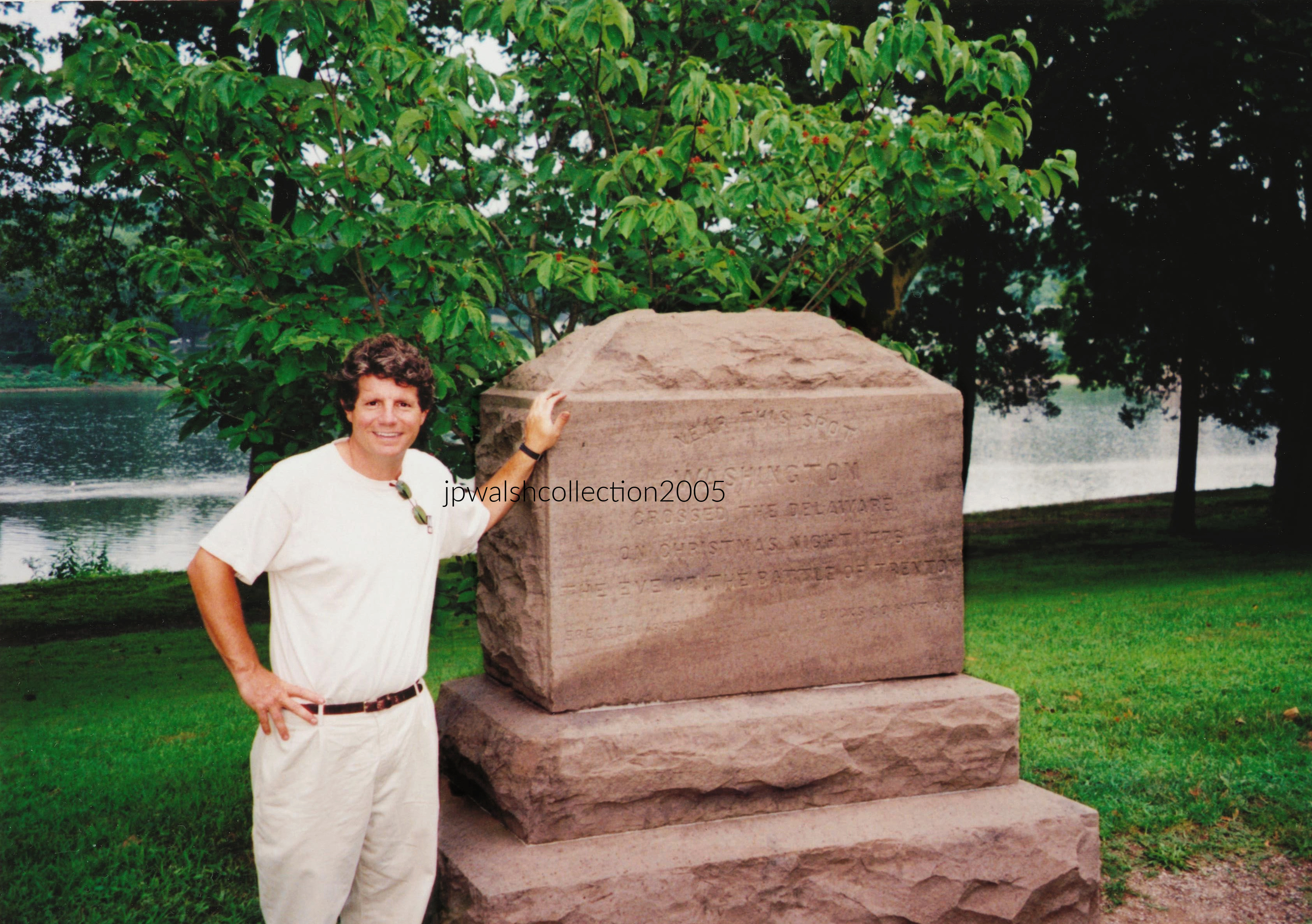
August 2005 — The Jersey brownstone monument, erected in August 1895 by the Bucks County Historical Society, features the following chiseled text: “NEAR THIS SPOT
WASHINGTON
CROSSED THE DELAWARE
ON CHRISTMAS NIGHT 1776
THE EVENING OF THE BATTLE OF TRENTON”
Pennsylvania — Valley Forge Historical Park, 1777 (June 2001):
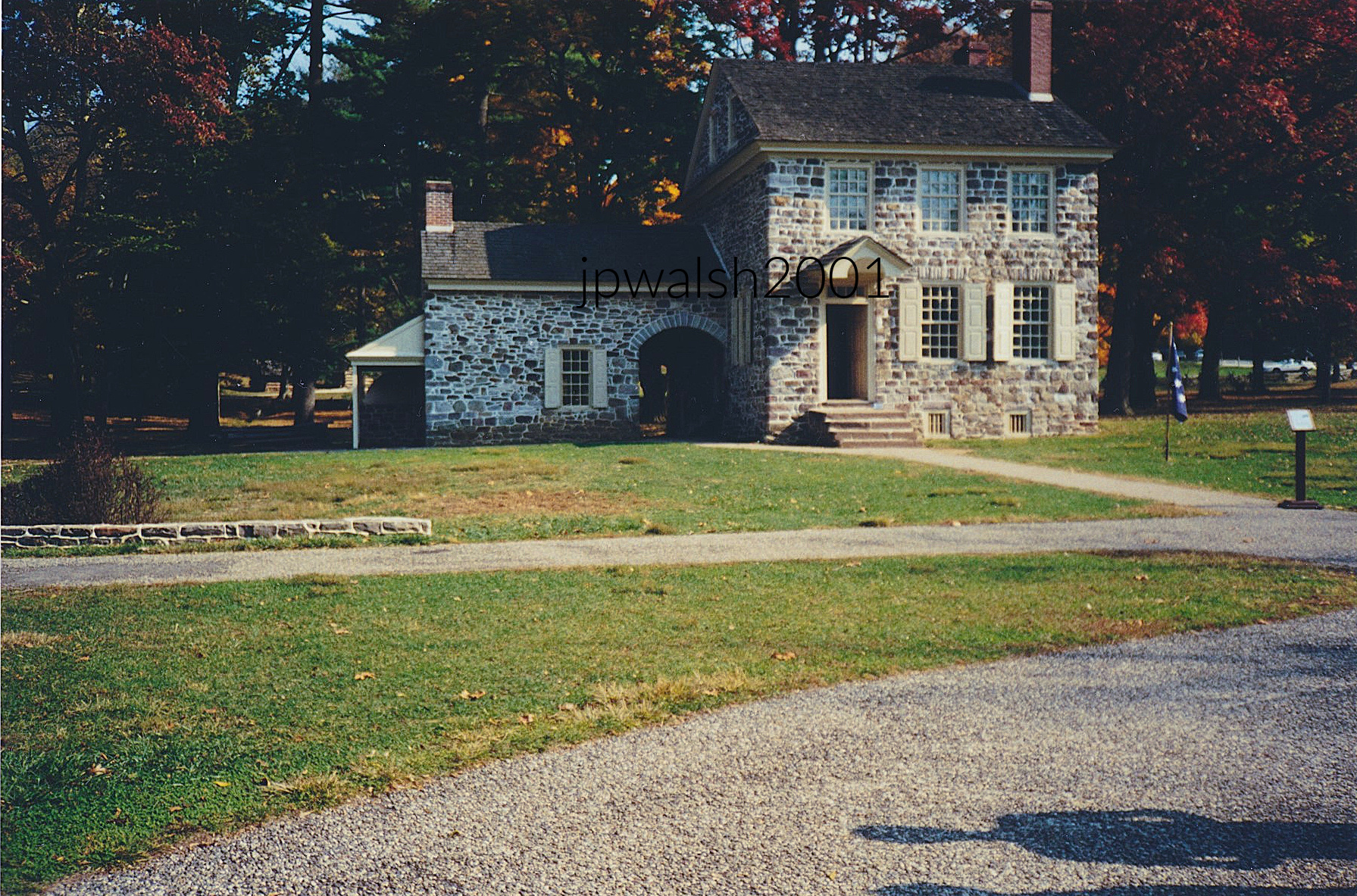
June 2001 — Valley Forge Historical Park, Valley Forge, Pennsylvania. During the American Revolutionary War, the Continental Army encamped at Valley Forge from December 1777 to June 1778. The stone house built between 1757 and 1773 by the family of Isaac Potts served as General George Washington’s headquarters.
After Washington’s defeat at the Battle of Brandywine in September 1777, the Second Continental Congress fled Philadelphia, and Washington withdrew his force of roughly 12,000 soldiers to the strategically chosen high ground at Valley Forge, only a day’s march from the city. This third winter encampment quickly became defined by collapsing supply lines. On December 23, 1777, Washington wrote the President of Congress 90 miles away assembled at York, Pennsylvania, reporting that his officers had barely suppressed a “dangerous mutiny” driven by shortages of food, clothing, and basic provisions.
Washington understood the consequences of these conditions: malnutrition, exposure, and disease would kill about 2,000 soldiers—more than fifteen percent of the army—over the course of the winter. He warned Congress that “unless some great and capital change suddenly takes place in that [supply] line, this Army must inevitably be reduced to one or other of these three things, Starve, dissolve, or disperse, in order to obtain subsistence in the best manner they can.”
The crisis marked a low point for the Continental Army, but Washington’s blunt communications forced action. A congressional delegation visited Valley Forge in late January 1778, and in March Congress created the office of Quartermaster General, appointing Maj. Gen. Nathanael Greene to stabilize the army’s supply system—an administrative reform that proved vital to the war effort.
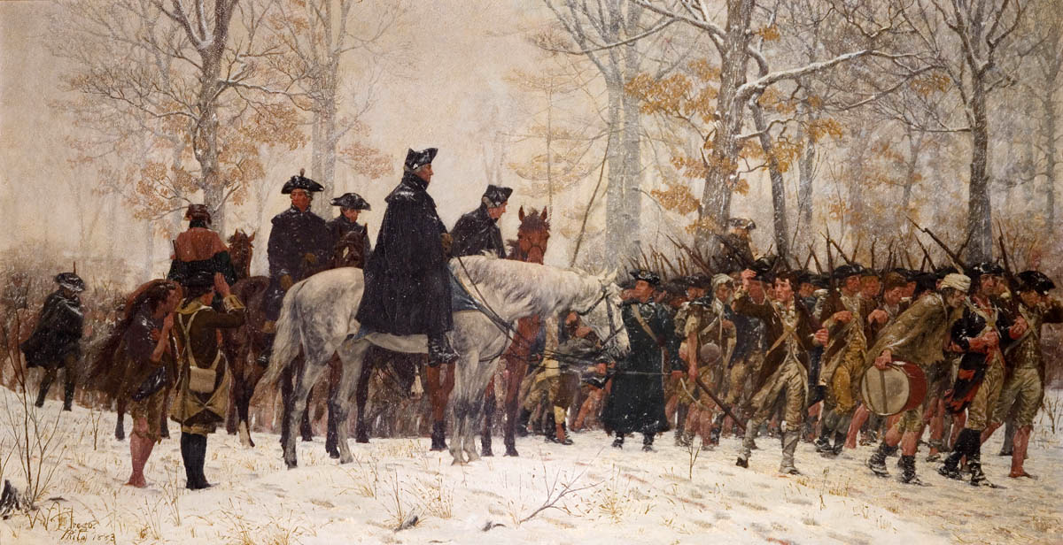
June 2001 — The March to Valley Forge, 1777, by William Brooke Thomas Trego (1883). Museum of the American Revolution, Philadelphia. Trego’s painting depicts December 19, 1777, when George Washington led his freezing, exhausted troops into winter quarters at Valley Forge. Washington sits mounted on a white horse, watching his ragged soldiers—bloody, barefoot, and poorly clothed—struggle through the snow. Trego drew direct inspiration from Washington Irving’s five-volume biography of Washington (1855-1859), which described men leaving tracks of blood as they marched. The painting is celebrated for its stark, unromantic realism and its unflinching portrayal of the suffering that defined the Valley Forge encampment.
New York — Niagara Falls (June 1992):
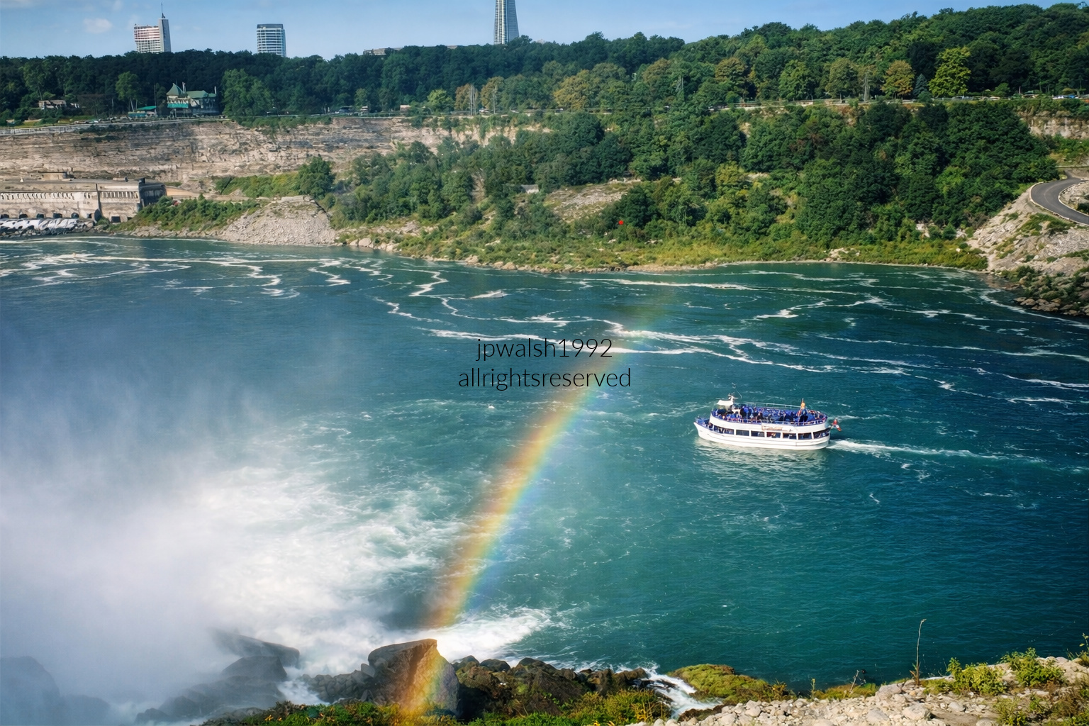
It’s a classic vantage: the American Falls foregrounded, mist rising from the gorge and catching a rainbow, while the Canadian skyline anchors the horizon. The Maid of the Mist — the tour boat that has carried visitors into the spray since the mid‑19th century — moves steadily upriver toward the base of the falls.

June 1992 — Foreground is the American Falls, where water plunges over a straight crest roughly 950 feet wide. Midground is the Bridal Veil Falls, a narrow cascade separated from the American Falls by Luna Island. Background is the Horseshoe Falls — also called the Canadian Falls — curving in a deep semicircle that carries the bulk of the Niagara River’s flow.
New Jersey — Albert Einstein’s House, 112 Mercer Street, Princeton (August 2005):
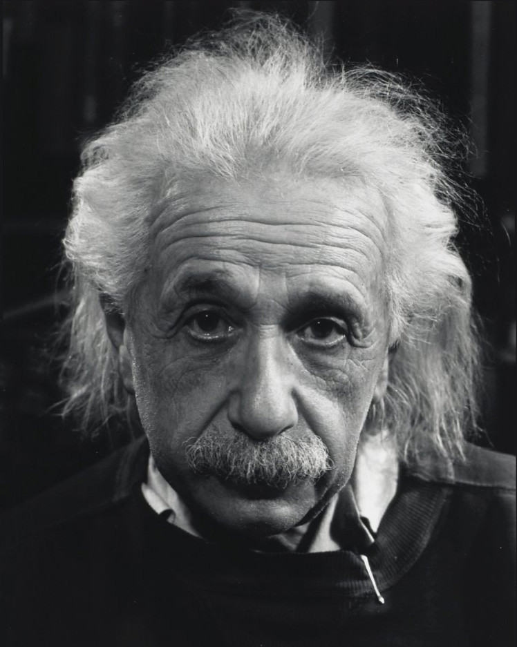
This iconic portrait of Albert Einstein was taken in 1947 by portrait photographer Philippe Halsman in Einstein’s private study at his home at 112 Mercer Street in Princeton, New Jersey. Einstein disliked being photographed. Halsman was an exception: Einstein had helped save him in 1940 by placing his name on a rescue list that won him a U.S. visa from wartime Europe. Halsman later visited Einstein in Princeton to repay that act with a portrait made in gratitude. The image became Einstein’s likeness on a 1966 U.S. stamp and on Time’s “Person of the Century” cover in 1999. PHOTO: “Albert Einstein by Philippe Halsman, 1947” by sofi01 is licensed under CC BY-NC 2.0. see – Albert Einstein: Silver Gelatin Print Photograph | ALBERT EINSTEIN, PHILIPPE HALSMAN and Celebrate Pi Day with ‘Einstein: The Man and His Mind’ – retrieved July 29, 2026.
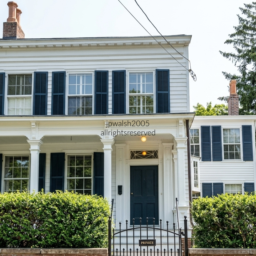
August 2005 — The Albert Einstein House at 112 Mercer Street in Princeton, New Jersey, was the famous physicist’s final home and the base for his American-era research. Einstein moved to Princeton in 1933 after fleeing Nazi Germany, initially staying at a temporary residence on Library Place before purchasing the Mercer Street home in late 1935. He lived there until his death in 1955, sharing the house with his second wife, Elsa (who died in 1936), and his stepdaughter, Margot. His sister, Maja, later joined the household in 1939, remaining there until her passing in 1951.
While living in Princeton, Einstein actively challenged the probabilistic nature of quantum theory, famously arguing that nature was predictable. This intellectual stance culminated in the foundational Einstein-Podolsky-Rosen (EPR) paradox paper, which was formulated in early 1935 while he resided at Library Place and worked out of Fine Hall. Once settled at Mercer Street, Einstein utilized the home to develop his theoretical physics research, including his decades-long pursuit of a unified field theory.
Beyond science, the house operated as a humanitarian hub where Einstein hosted international scholars, refugees, and civil rights leaders. The simple, modest cottage was designated a National Historic Landmark in 1976 and remains a private residence managed under the oversight of the Institute for Advanced Study (IAS). It is strictly closed to the public with no tours or interior exhibits.
Throughout his years in the community, local residents routinely encountered an unpretentious Einstein walking to and from his office—first from Library Place to Fine Hall on the Princeton University campus, and after 1939, along his 1-mile route to the IAS’s Fuld Hall—notably dressed casually and frequently without socks
see – Jewish American Historical Places: Albert Einstein House; Albert Einstein’s House: 112 Mercer Street, Princeton | Institute for Advanced Study and Albert Einstein – Historical Society of Princeton – retrieved July 29, 2026.



