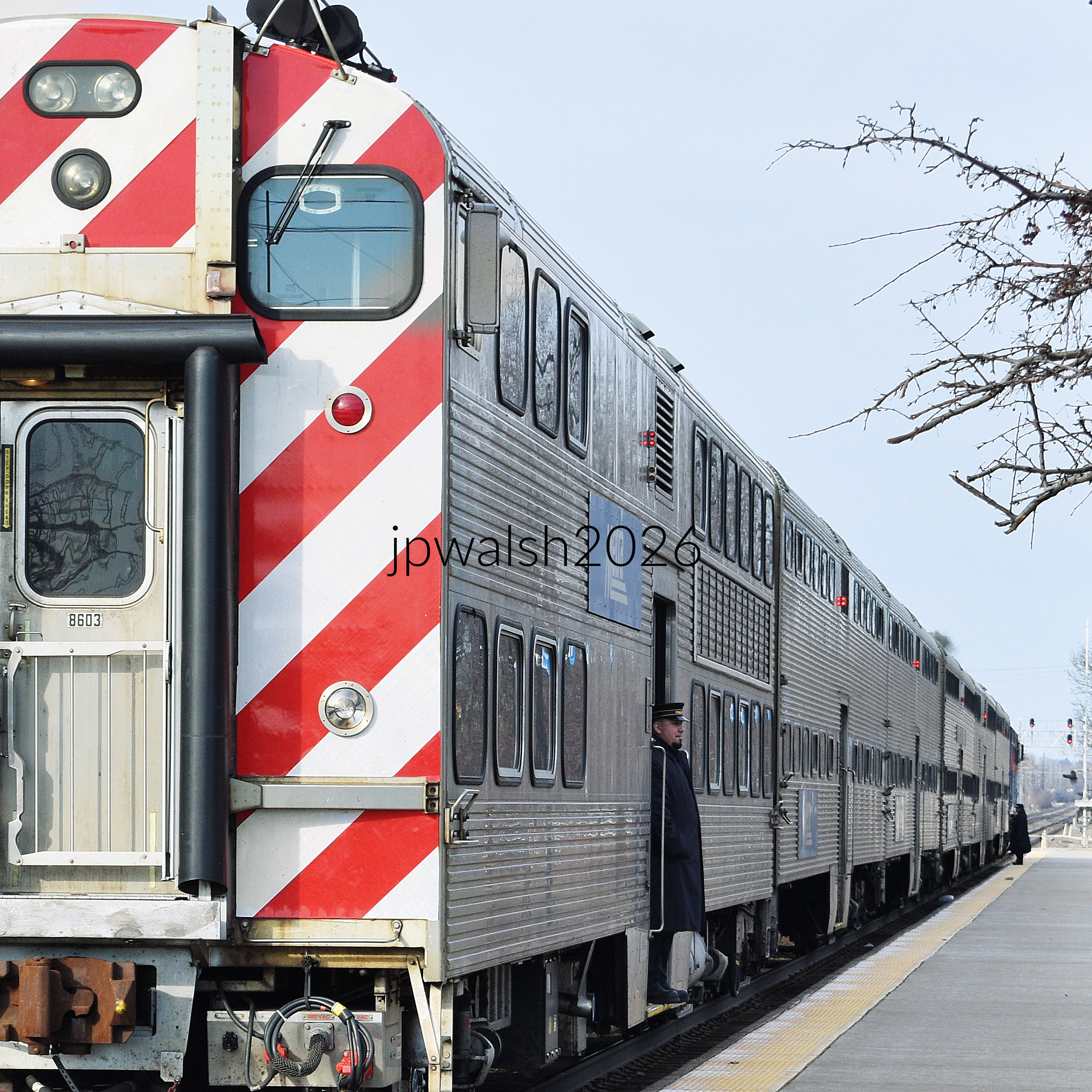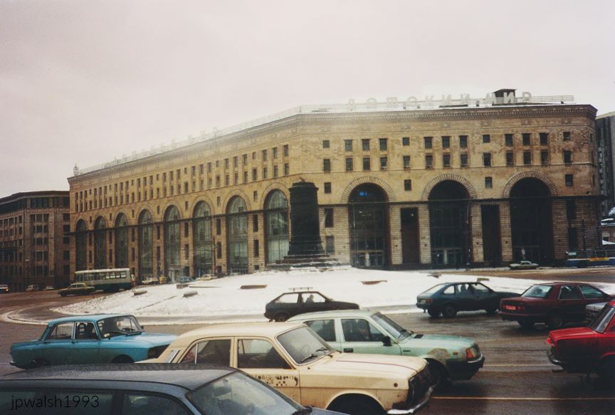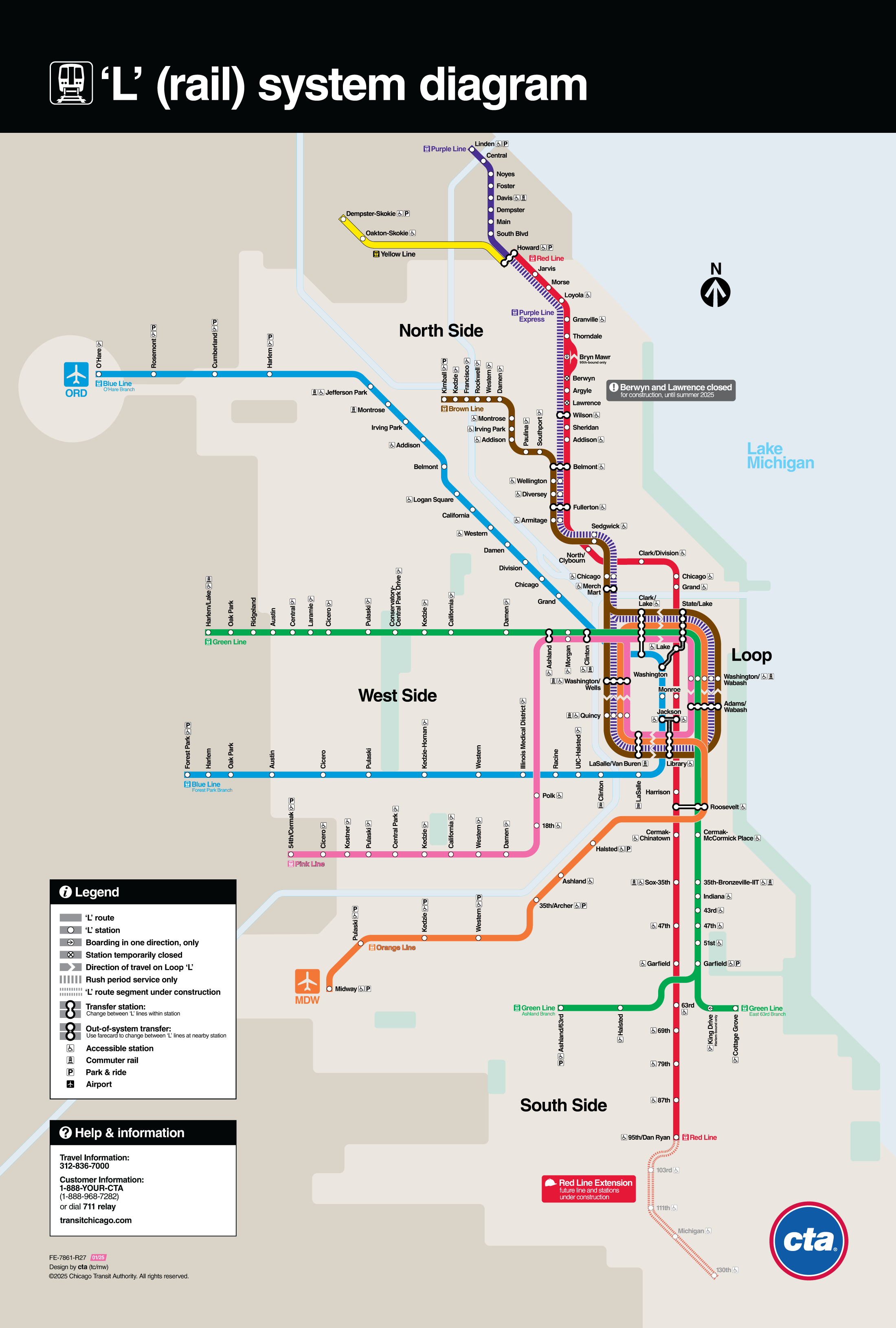
FEATURE image: The BLM march took place along Main Street in Downers Grove, Illinois, on Sunday, June 7, 2020.




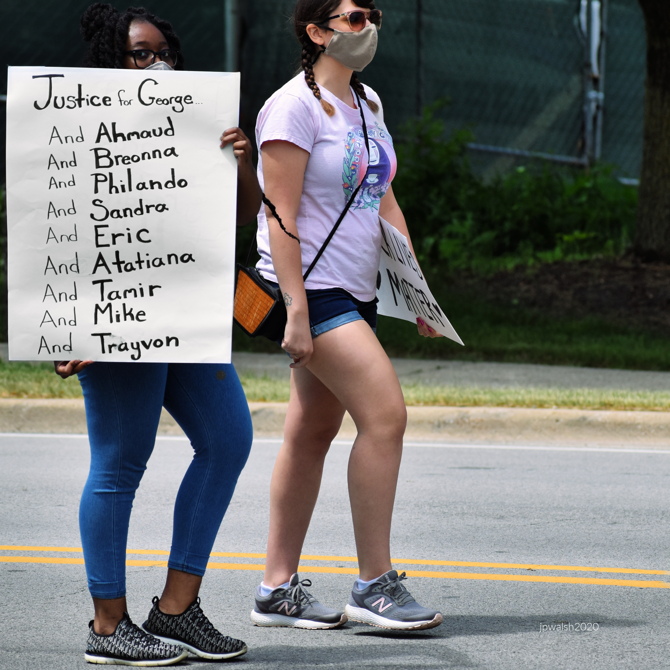









FEATURE image: The BLM march took place along Main Street in Downers Grove, Illinois, on Sunday, June 7, 2020.


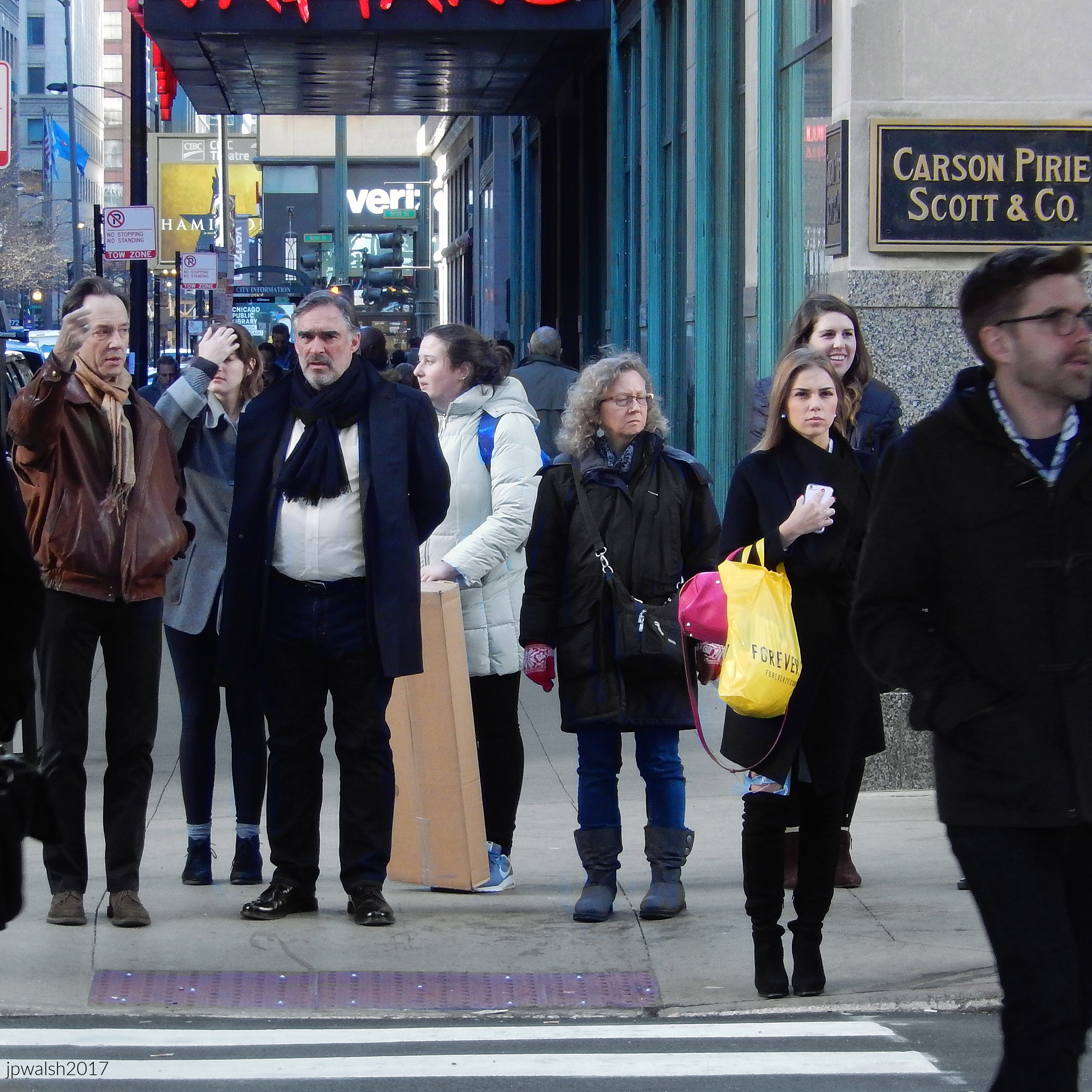
FEATURE Image: November 2017. Michigan-based Saints basketball team visiting in downtown Chicago.


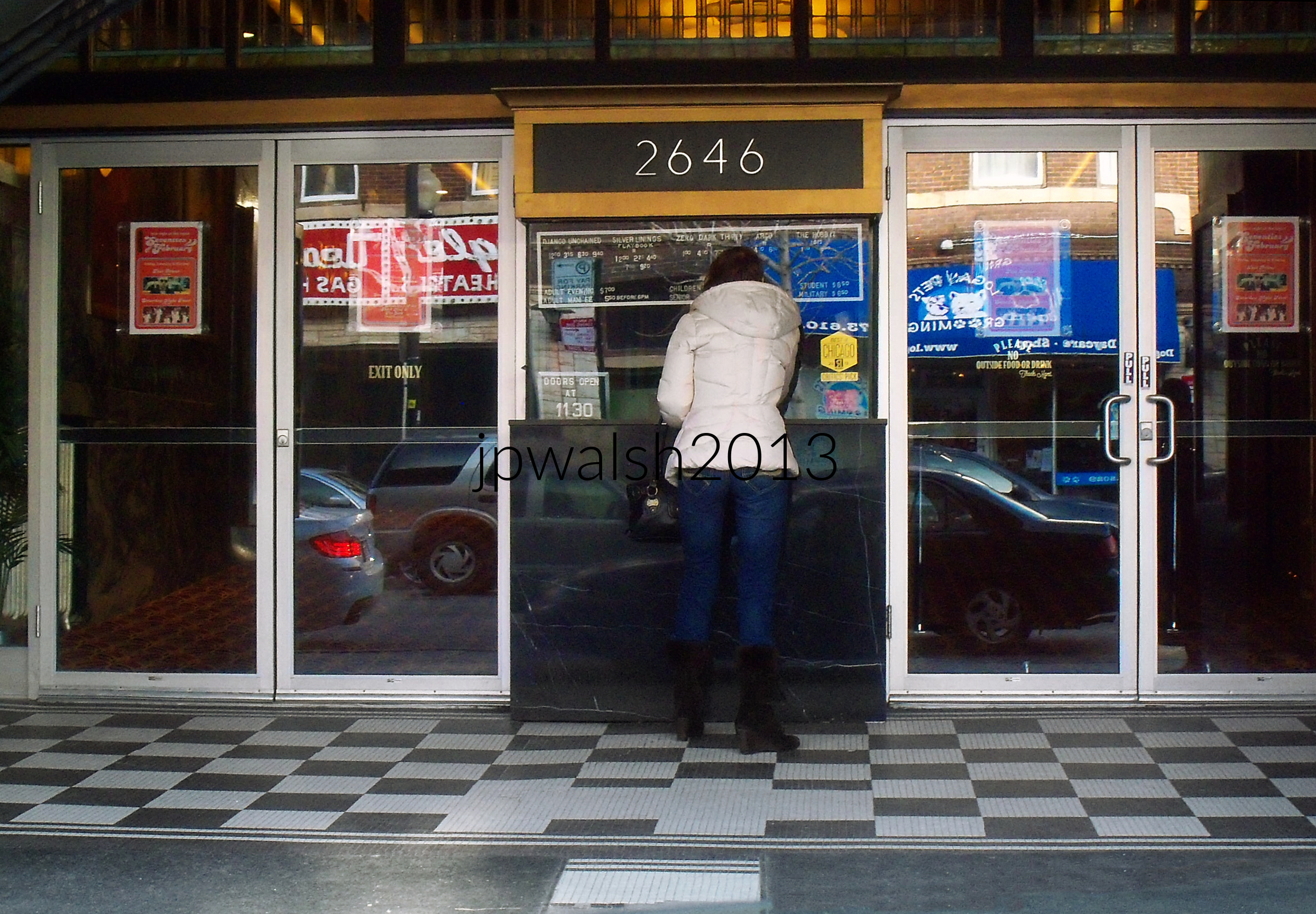
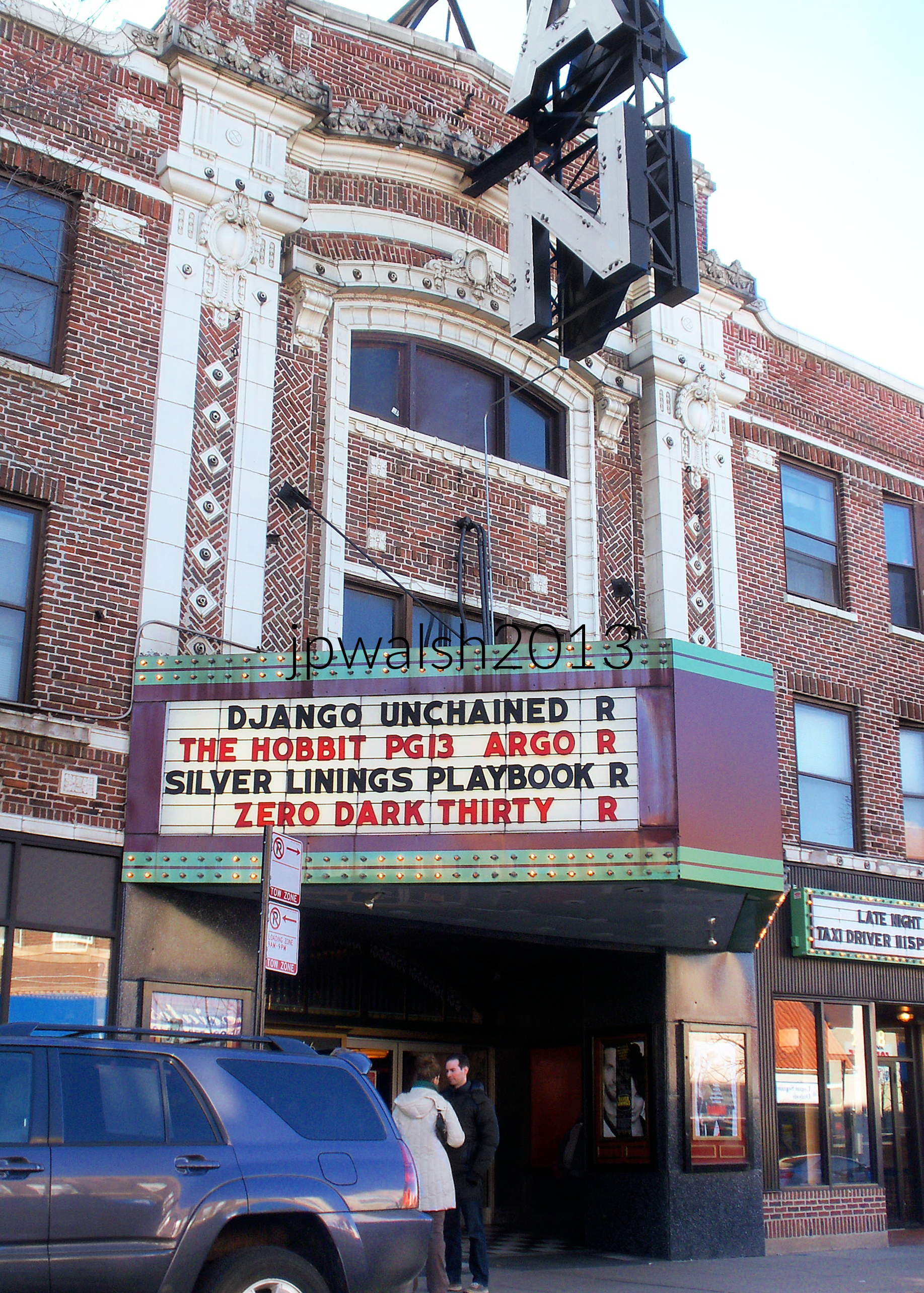
The Logan Theatre at 2646 N. Milwaukee in Chicago opened in November 1915 as The Paramount Theatre. It was operated by Lubliner & Trinz that started operating movie theaters in Chicago around 1914. At their peak, Lubliner & Trinz operated about nineteen theaters and leased or built about 36 theaters until 1934. The Paramount had seating for 988 in orchestra level and was equipped with a Weickhardt organ, based in Milwaukee, Wisconsin. It was renamed the Logan Theatre in 1929 when it was taken over by Essaness, a Chicago-based movie theater chain. The company owned and operated 33 theaters in the Chicago area, including the Pantheon and Biograph theaters. see – Lubliner & Trinz Theater History – The Clark Theater ; Logan Theatre in Chicago, IL – Cinema Treasures – retrieved January 18, 2026.



















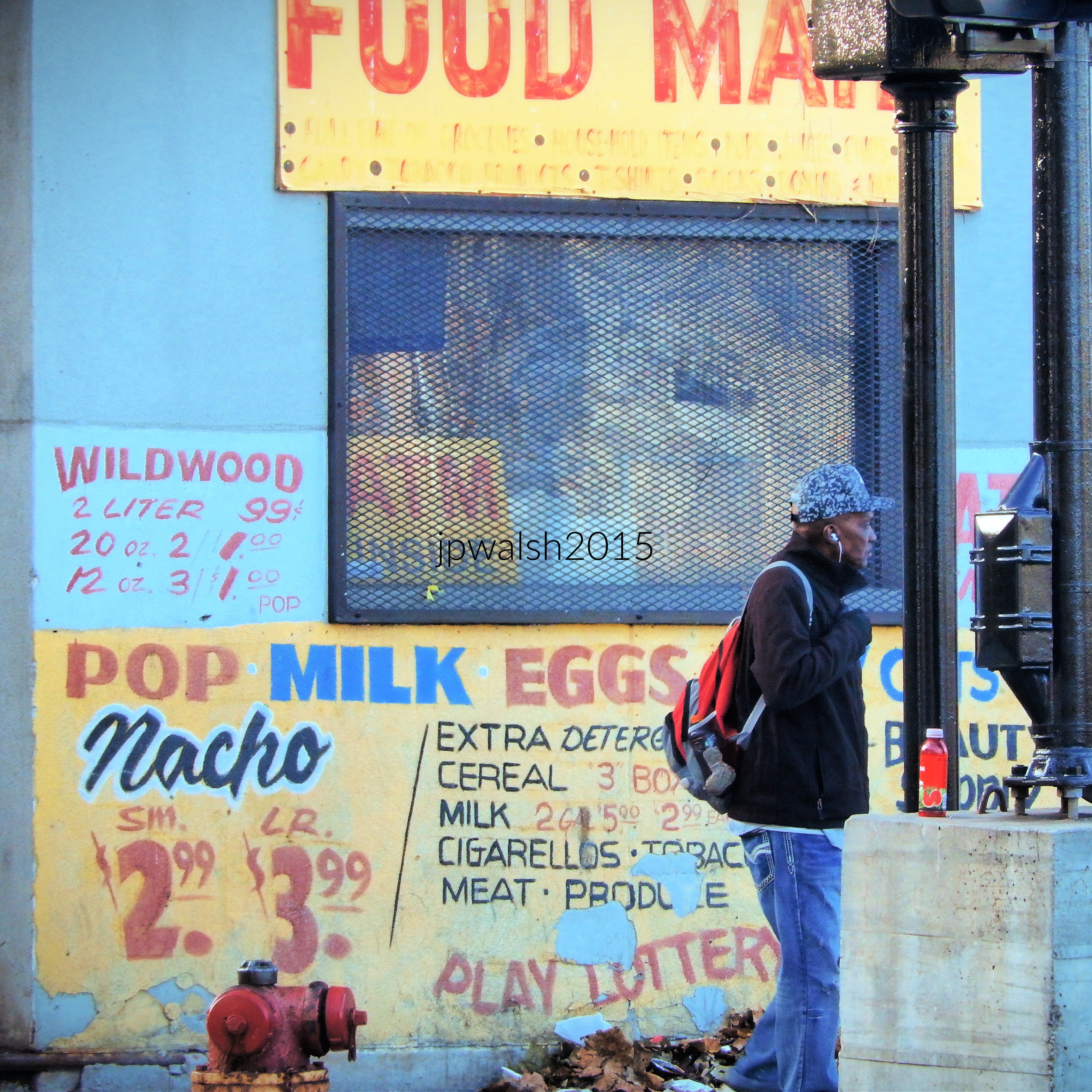
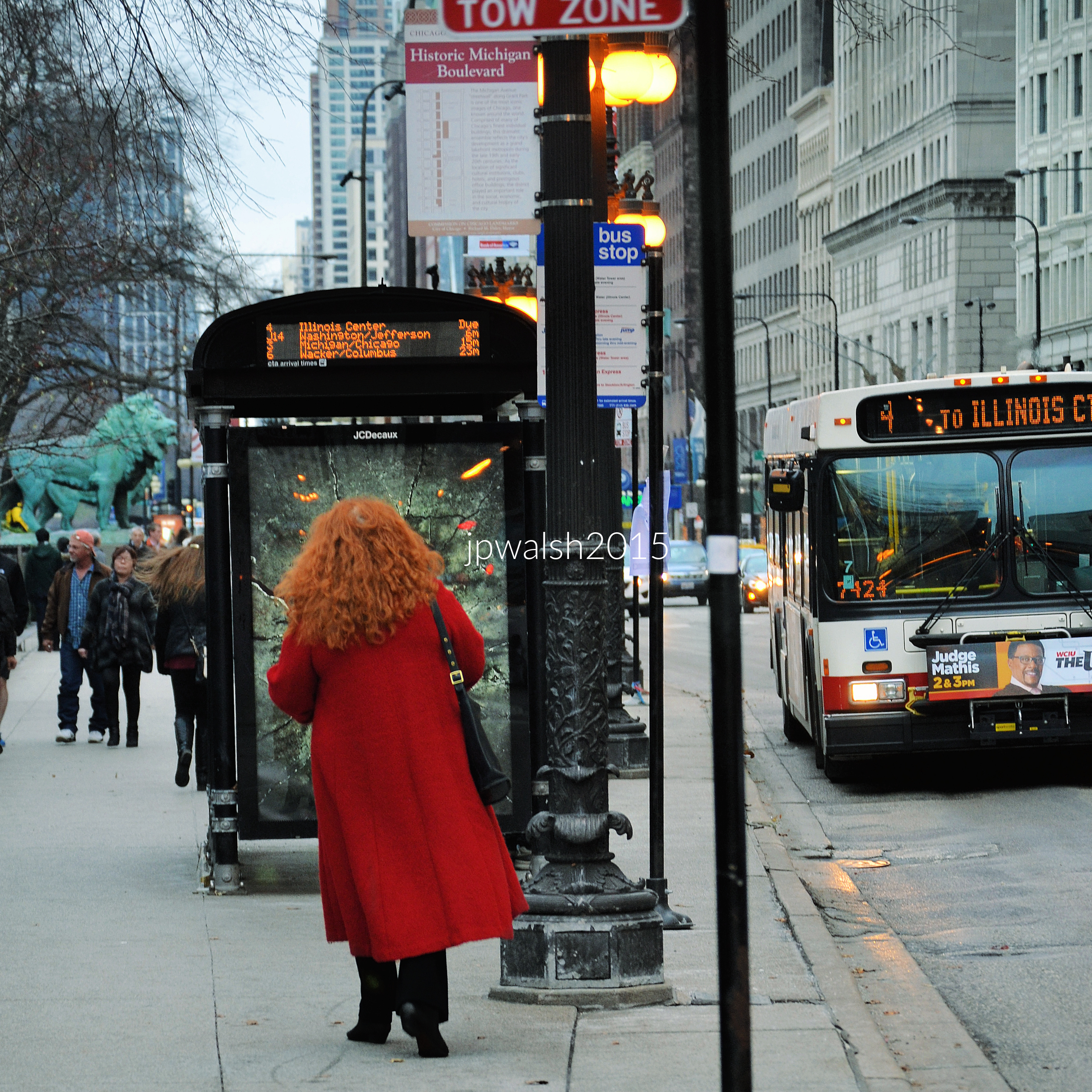
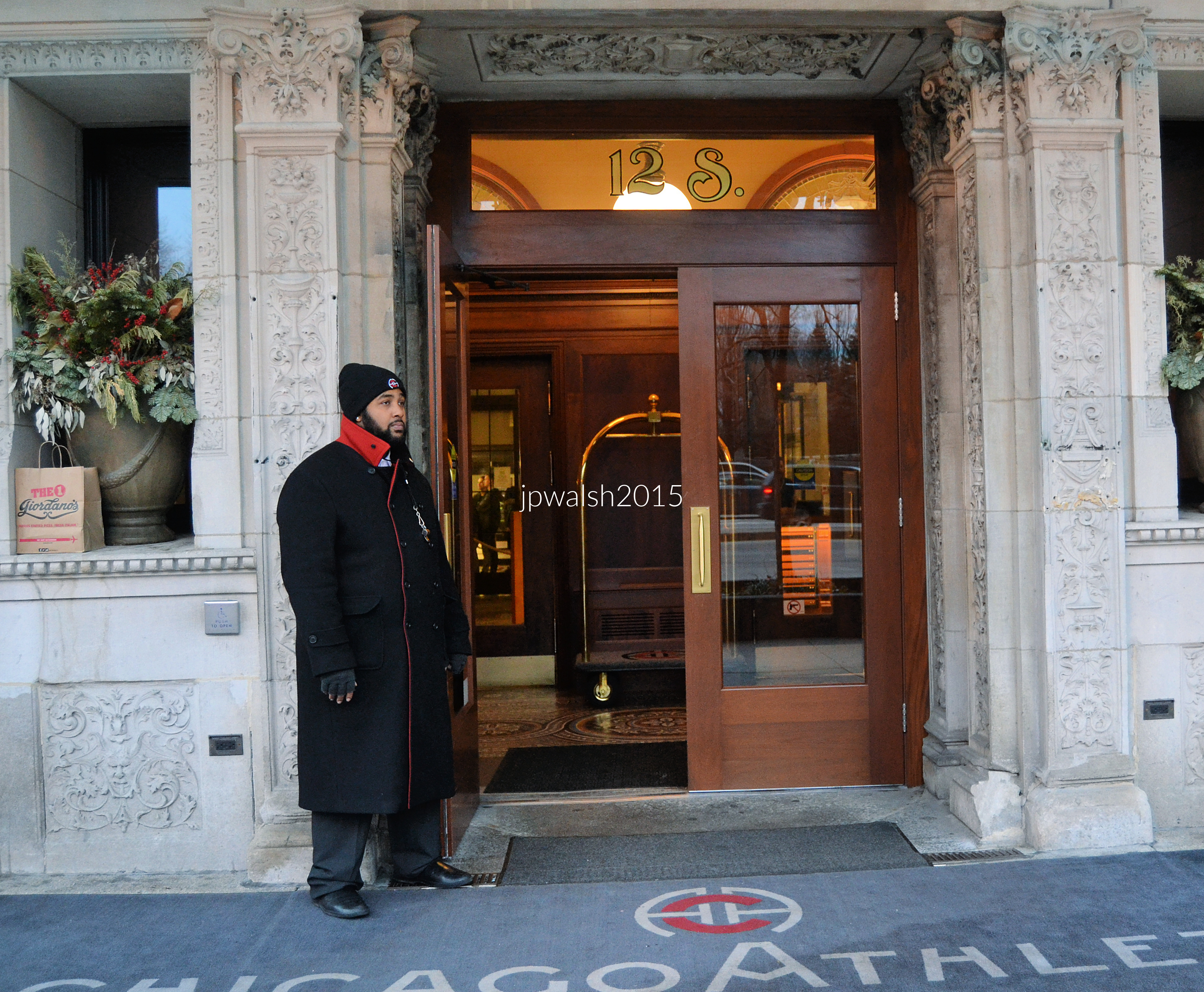
The Chicago Athletic Association (CAA) was a historic men’s club and athletic team based in Chicago, Illinois, formed in 1890 and closed in 2007. The 1893 building was designed by prolific architect Henry Ives Cobb (1859-1931). Transformed into the Chicago Athletic Association Hotel, it opened as a boutique hotel, welcoming the public and preserving its rich history.
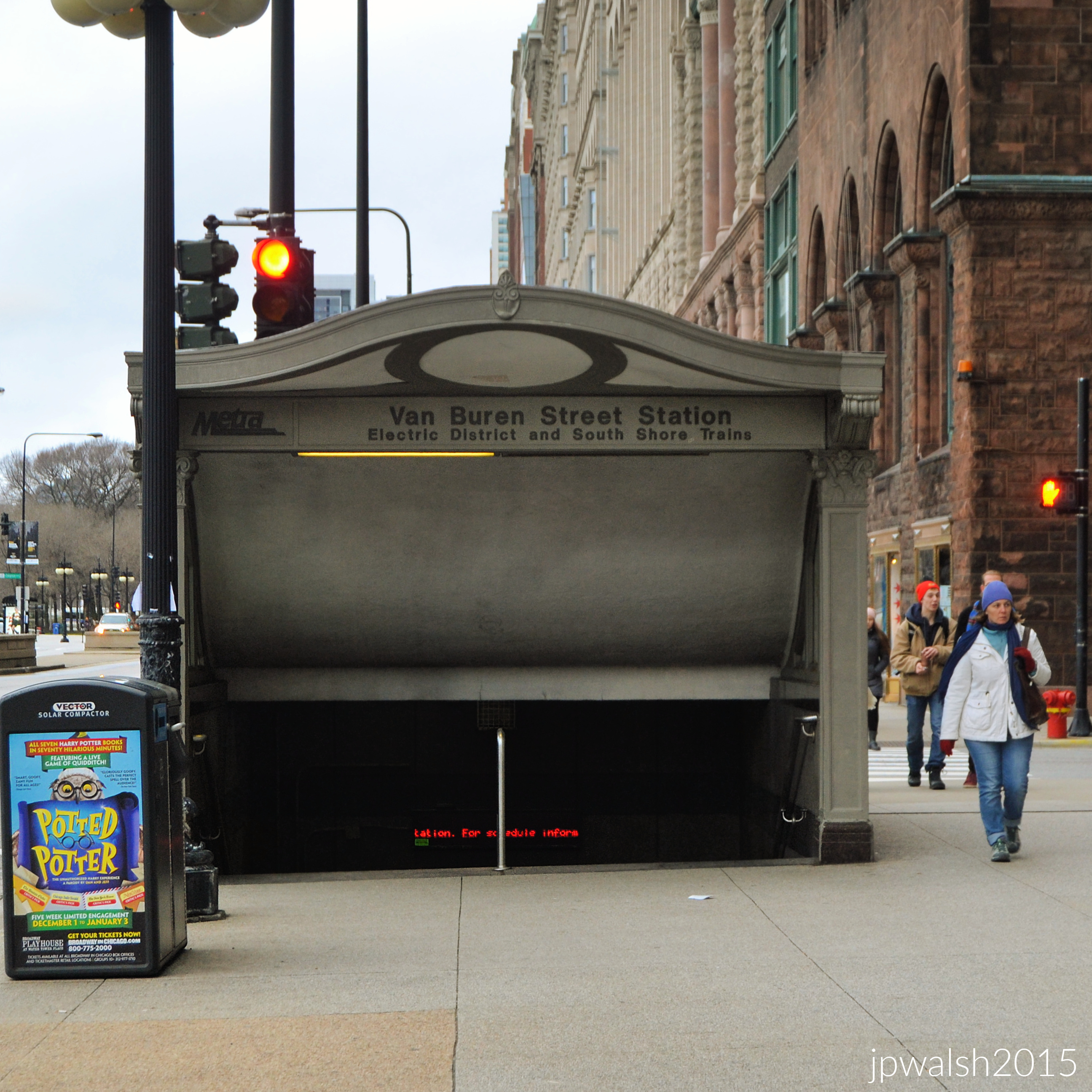
Van Buren Street Station is a commuter rail station in downtown Chicago that serves the Metra Electric Line to University Park, Blue Island, and South Chicago neighborhood and the South Shore Line to Gary and South Bend, Indiana.
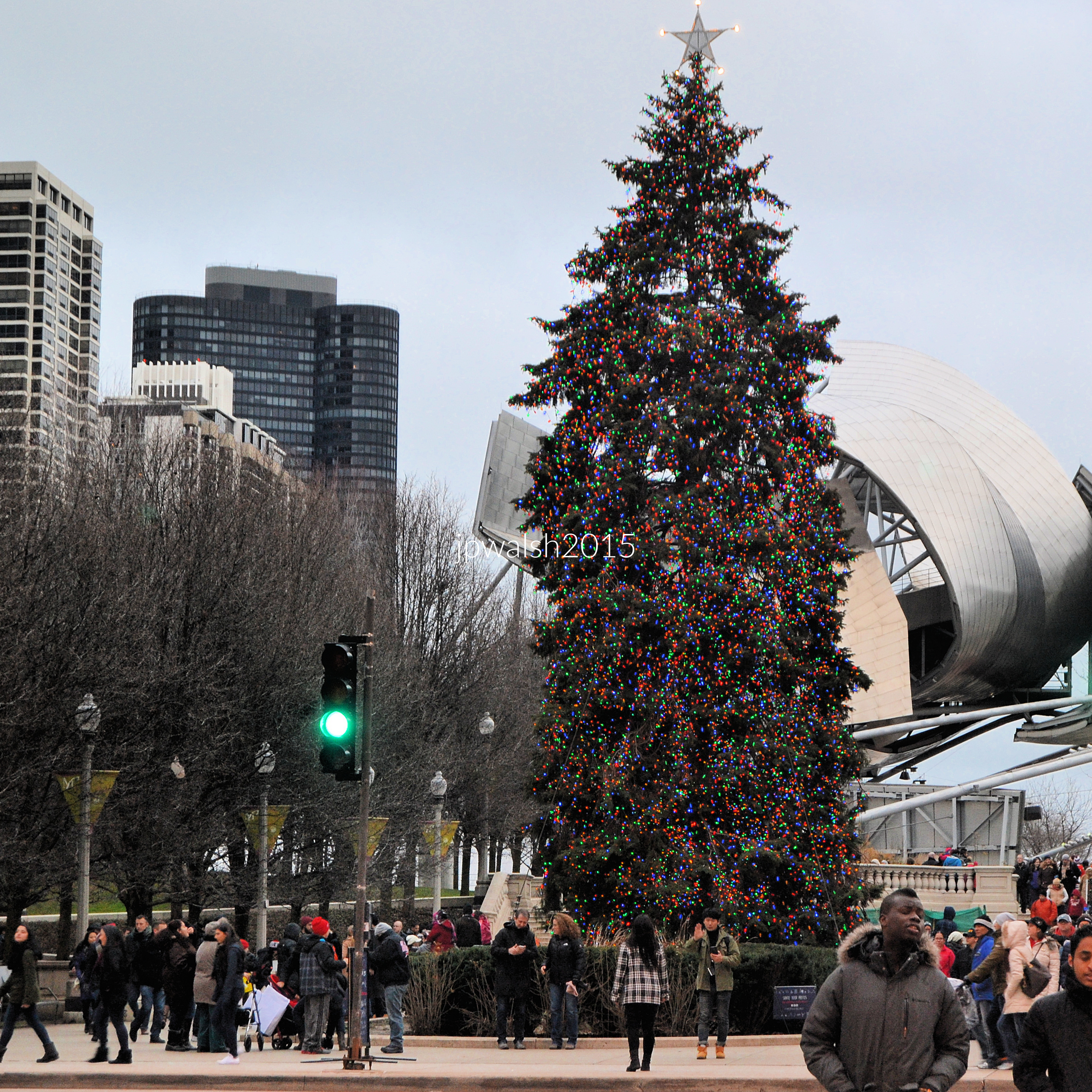


FEATURE image: Stadium, North Central College, Naperville, Illinois. July 2021.














FEATURE Image: Pay phone, July 2018.











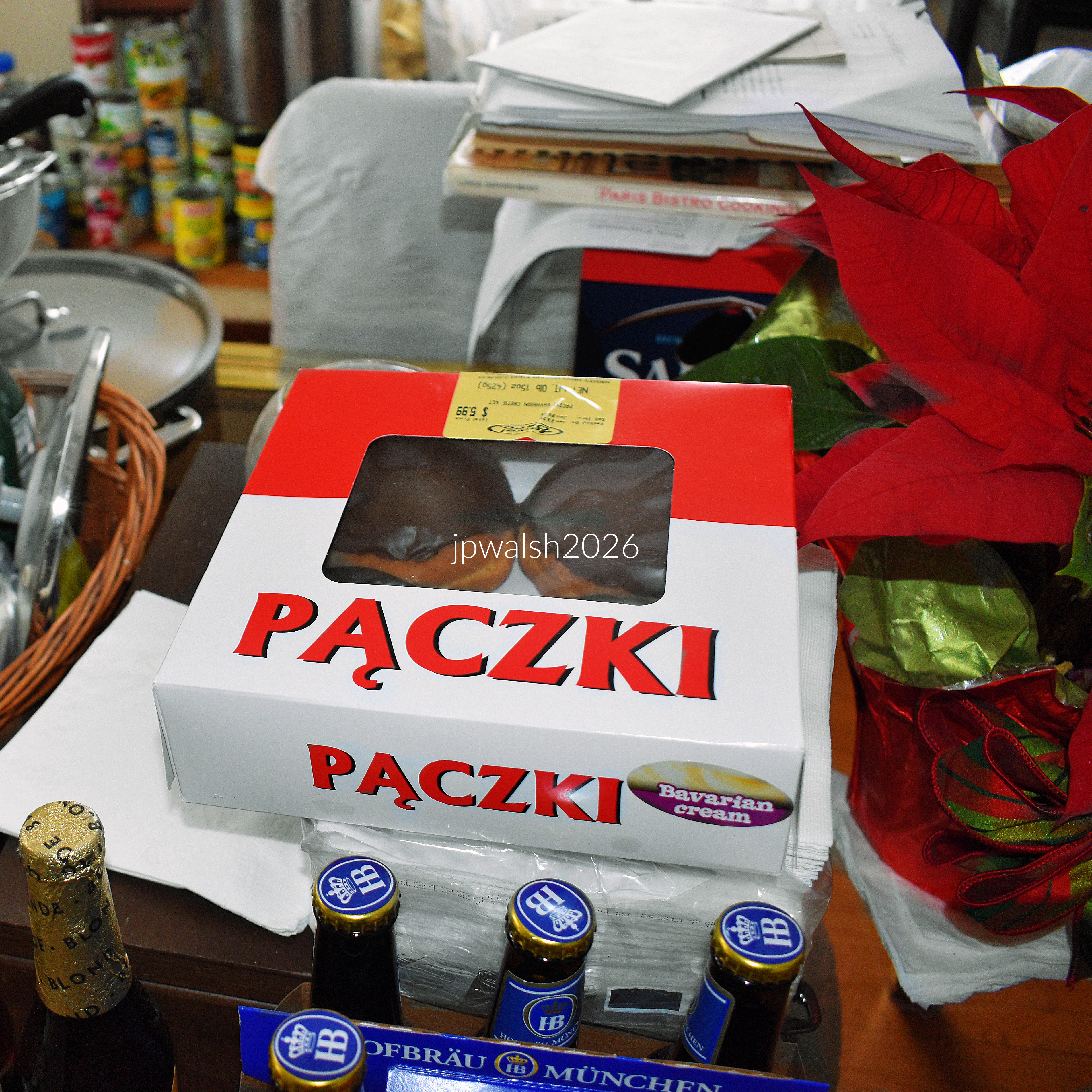
In U.S. cities and states with a large population of Polish and Polish Americans, mainly in the Midwest and Northeast – including Chicago, Milwaukee, Detroit, Toledo, Cleveland, Buffalo, Pittsburgh, Philadelphia/Scranton, New Jersey, Massachusetts and Connecticut – pączki (pronounced “punch-key”) are rich, sweet traditional Polish doughnuts whose tradition stretches back to the Middle Ages. These sweet treats are fried dough filled with flavored creams and fruit jellies and preserves and slathered on top with icings, glazes, or powdered sugar. Pączki are a festive and delicious pre-Lenten indulgence that are notably eaten on Pączki Day which aligns with Mardi Gras (“Fat Tuesday”), the day before Ash Wednesday and the start of Lent, a 40-day period of Christian fasting before Holy Week. Pączki Day is celebrated annually by immigrants and locals alike. In Chicago, with its sizeable Polish population (the largest outside Poland), pączki are eaten in the pre-Lenten season and on both Fat Thursday (the last Thursday before Ash Wednesday) and on Fat Tuesday.

Exploremores are the Girl Scouts’ newest cookie introduced in 2026. Exploremores are cookies with the Rocky Road ice cream-inspired flavors of chocolate, marshmallow, and toasted almond crème. Thin Mints are a classic Girl Scout cookie. They have been selling a version of this cookie for 88 years – since “Cooky-Mints” in 1938. Firmly established as a popular brand by 1951, it was officially named “Thin Mints” in 1959. The oldest, continuously sold, and original style of Girl Scout cookie, is the Shortbread (or Trefoils), introduced in 1934!
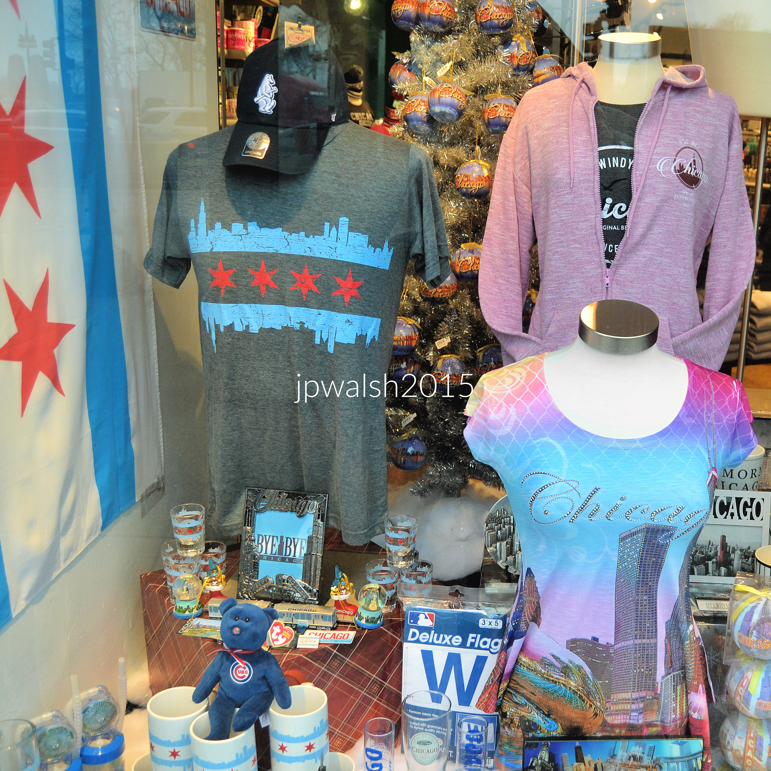
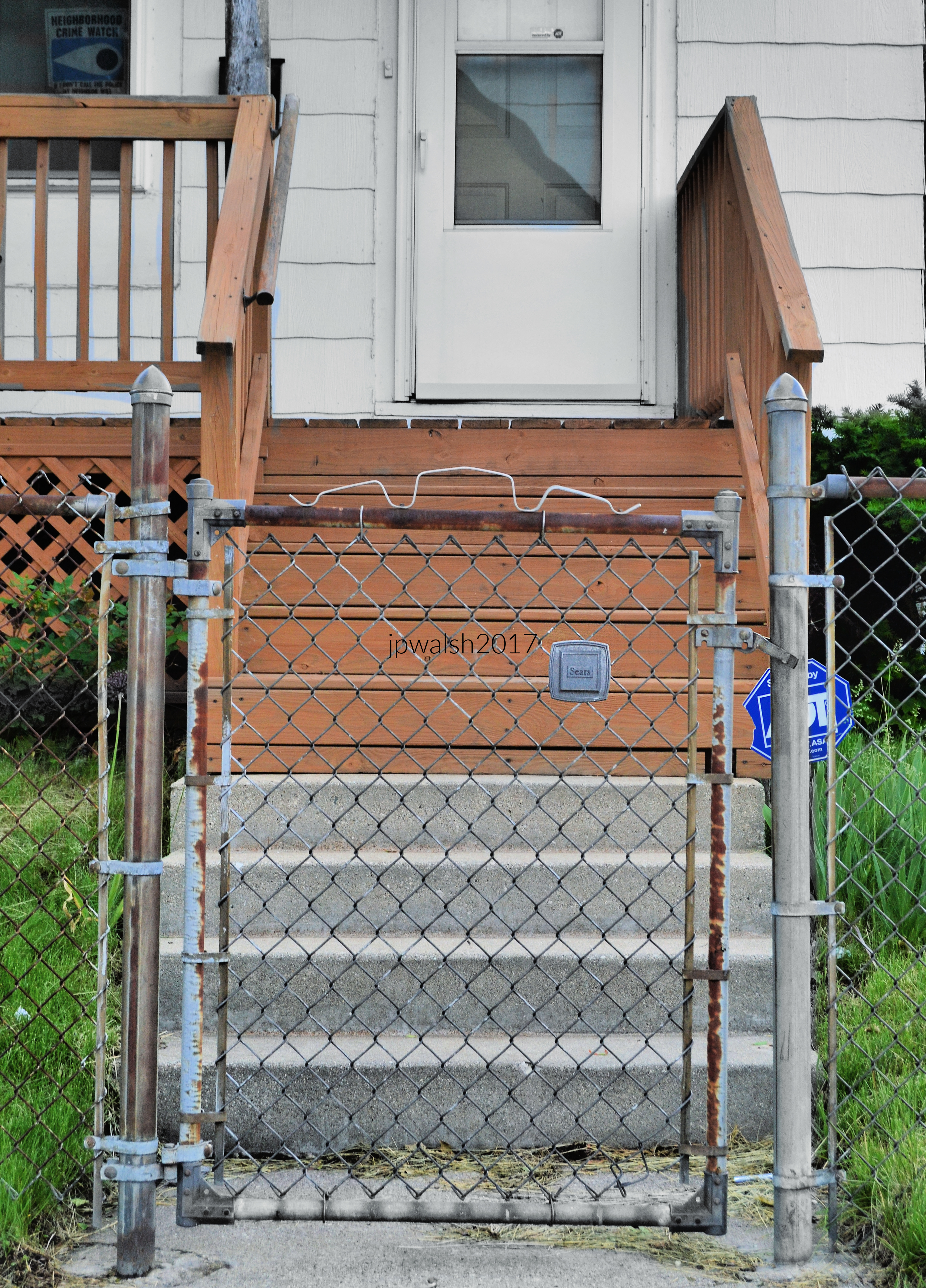



FEATURE Image: North Avenue, Chicago, August 2016.
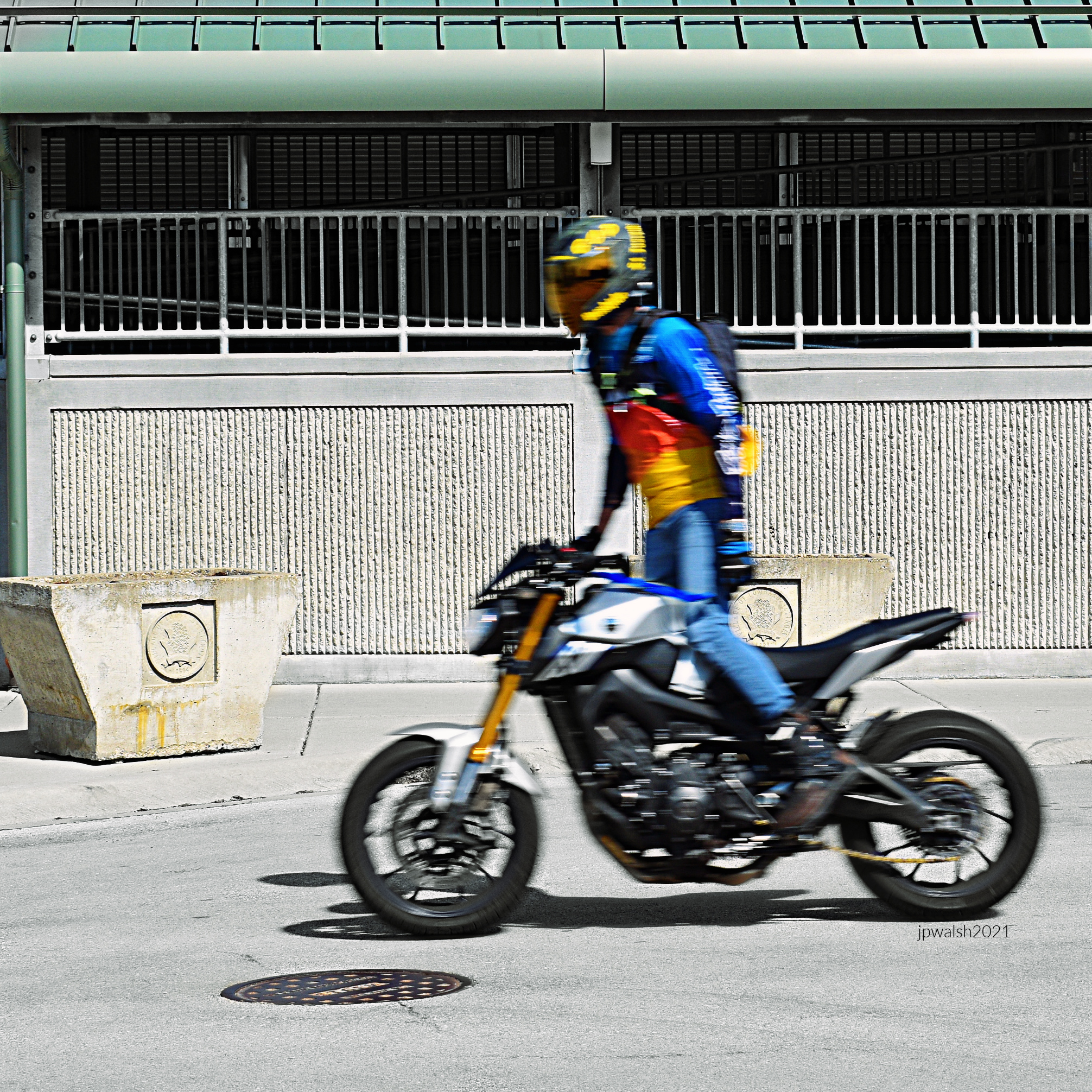

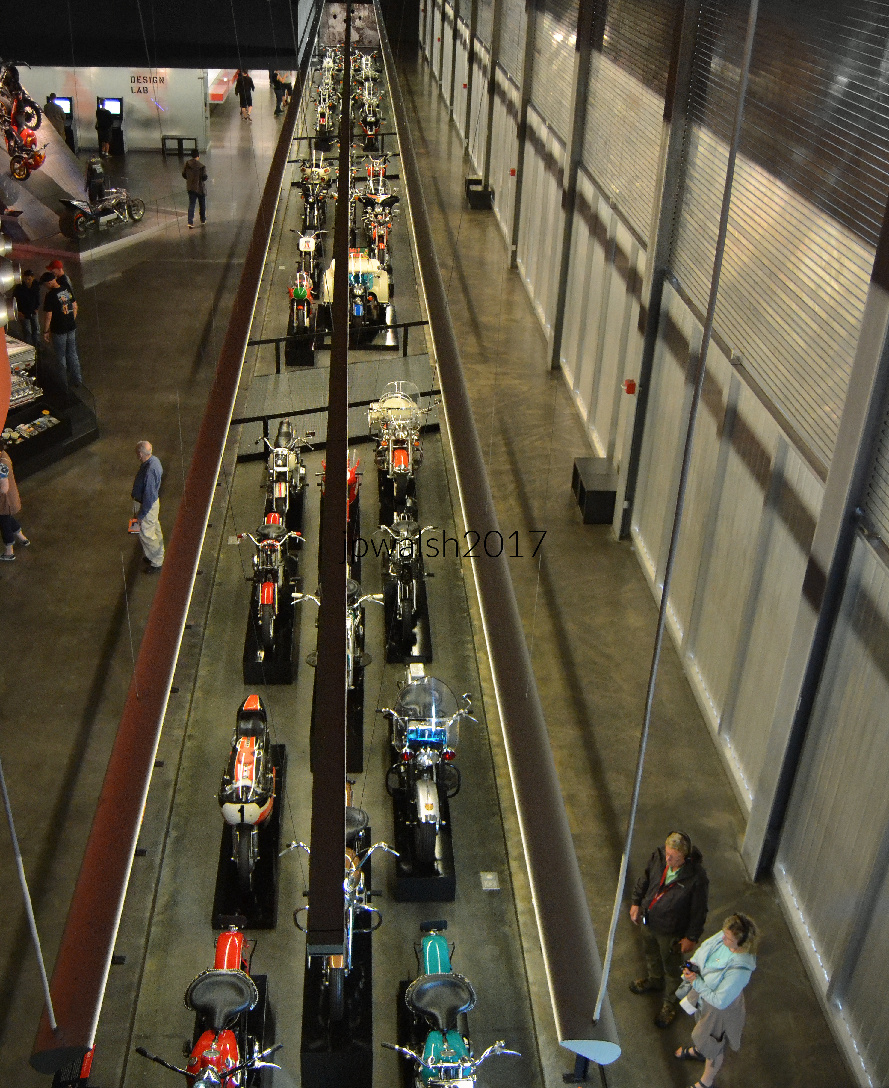
Four days after recording Heartbreak Hotel in January 1956 for RCA records in Nashville, Tennessee, 21-year-old Elvis Presley went out and bought a brand-new red-and-white 1956 Harley Davidson KH. Elvis was not yet famous but had already developed a signature style for which this motor bike formed a part. Having affinities with the 1952 KRTT Road Racer OHV V-Twin owned by famed H-D racer Brad Andres, Elvis’ H-D KH had plenty of style.
Within two months, in mid-March 1956, Heartbreak Hotel, a song co-written by Presley, was climbing the charts and Elvis was on his way to becoming one of rock ‘n’ roll’s first superstars. For the rest of his life and career, Presley remained a Harley-Davidson enthusiast as he helped forge that connection between motorcycles and rock ‘n roll which seemed to be instinctive and permanent.




The 1932 Model G Servi-Car Side-Valve V-Twin ran for 41 years and offered high crown fenders and a cargo hold that packed 500 pounds.


Ride with Pride Motorcycle Run, sponsored by Pridefest and the Harley-Davidson Museum.

“Fat Bob” fuel tank. The Harley-Davidson Museum, Milwaukee, Wisconsin.

The 2002 XL883C Sportster Custom OHV-V Twin is loaded with factory-installed additions.


Polaris’ Slingshot three-wheeler is part motorcycle, part sports car. It has side-by-side seating and a steering wheel.






Above: Vivid Black 2014–2020 Harley-Davidson Road King (FLHR) (featuring factory chrome engine guards, true-dual exhaust layout, and clean hard saddlebags).
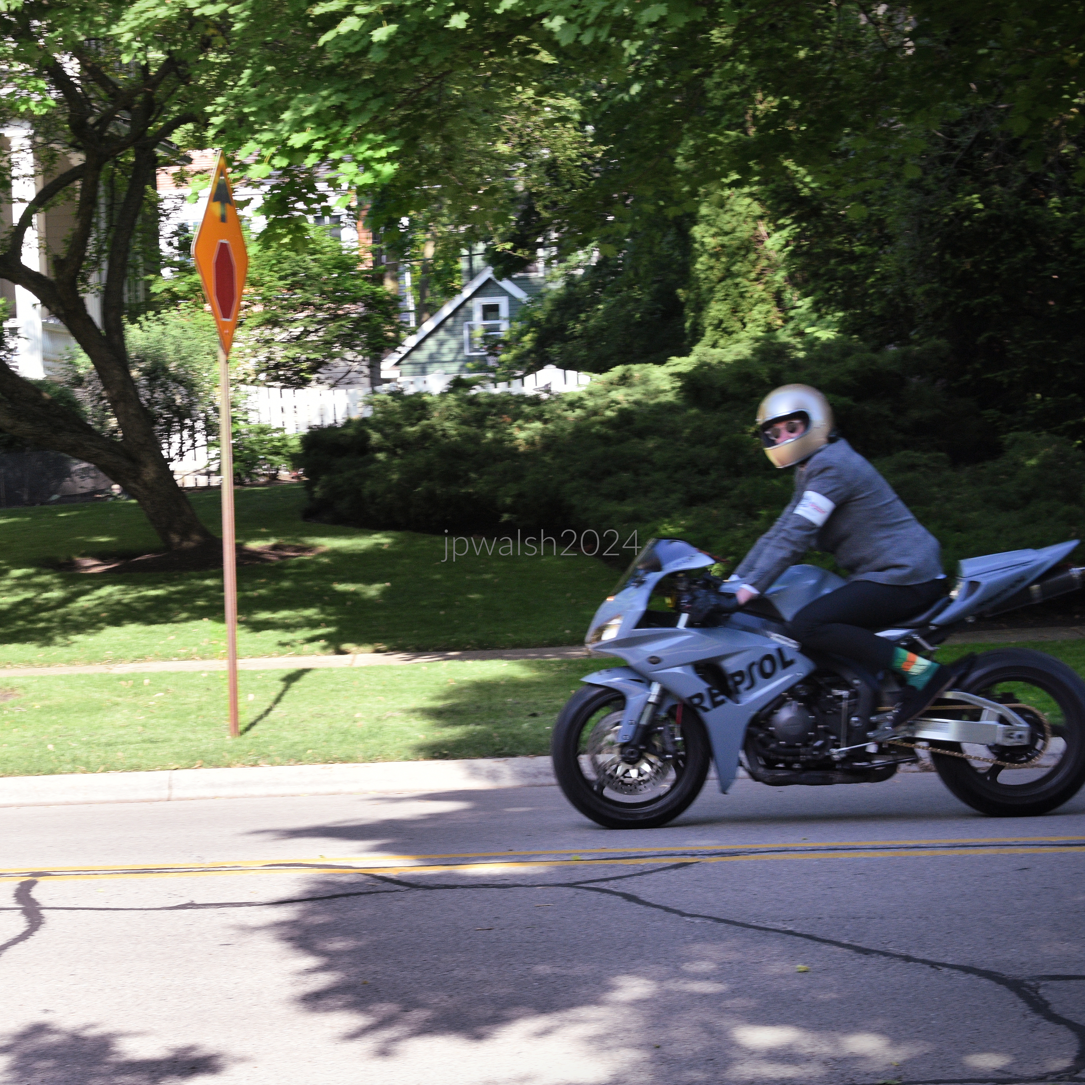
Above: Honda Repsol.

Above: NIU-GTS electric scooter.
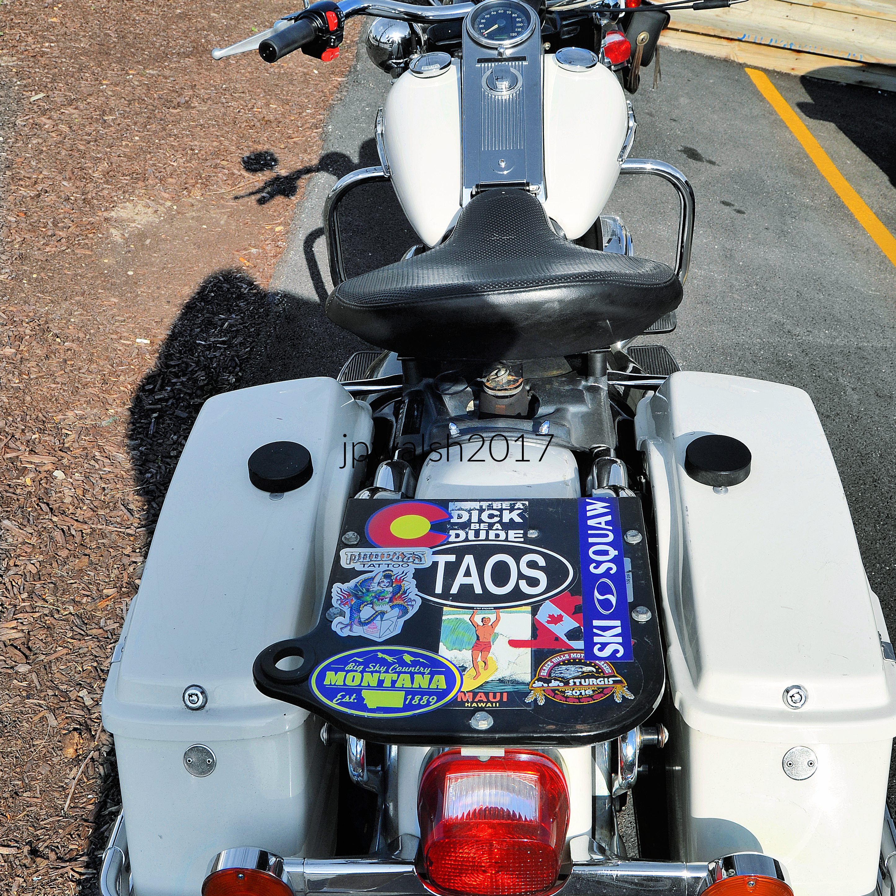
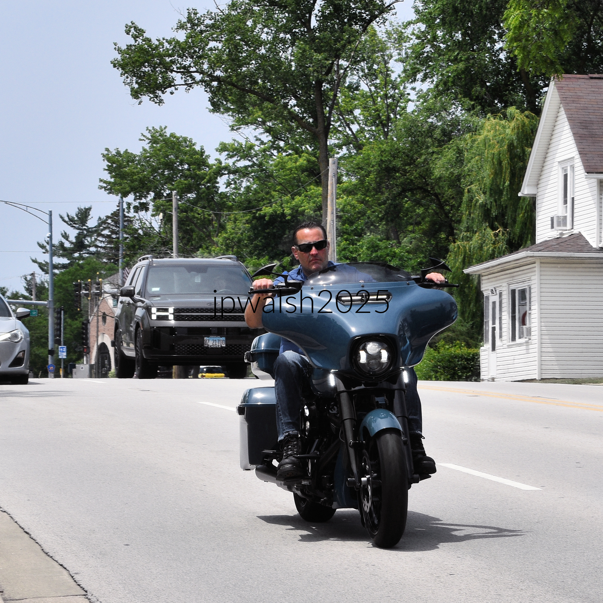
Above: 2019-2022 Harley-Davidson Street Glide Special (FLHXS) in Billard Blue (featuring a blacked-out engine components finish). The dark SUV traveling in the left background is a newer generation Hyundai Santa Fe.

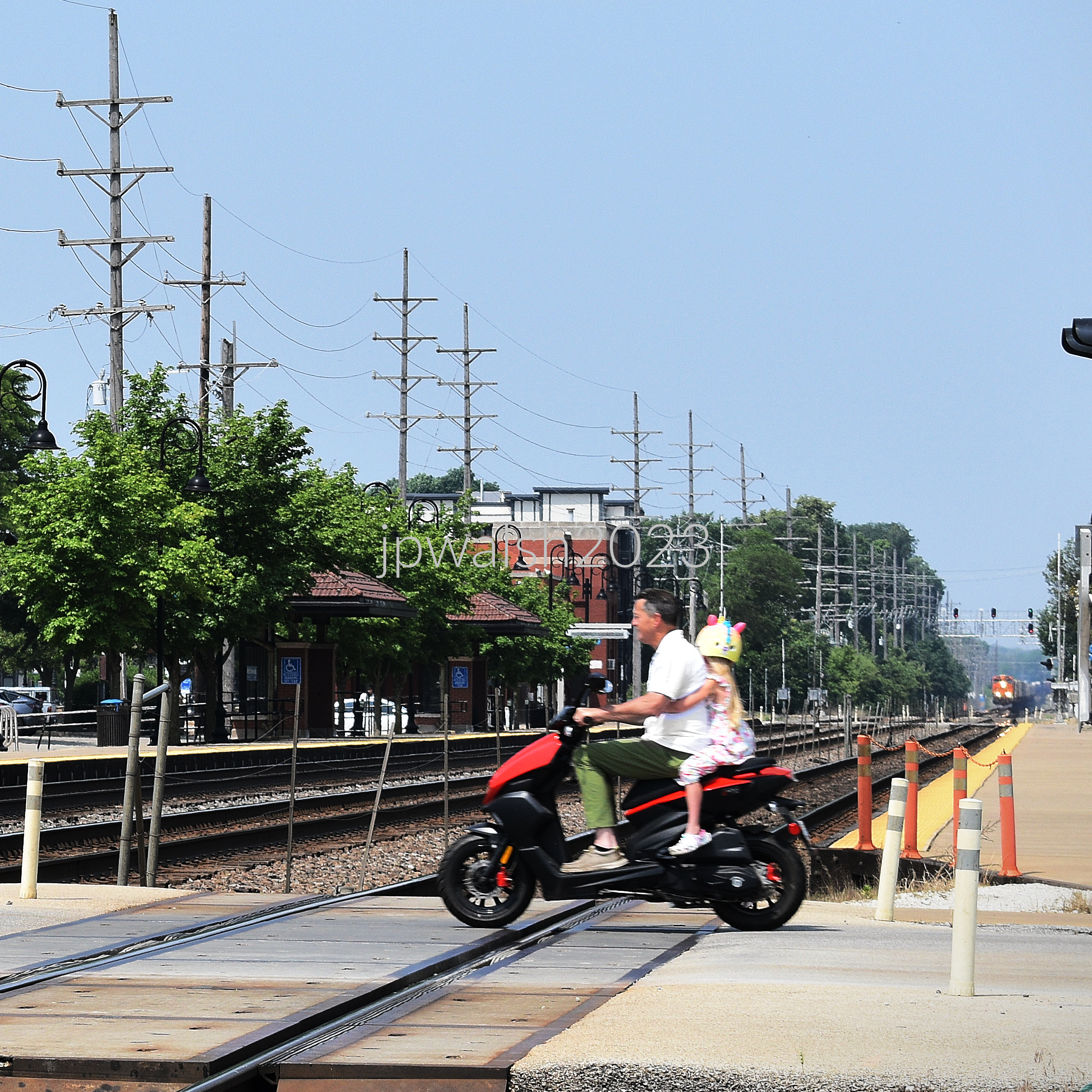
Above: Sky Blue 2024–2026 Aventura-X EV29 Electric Moped.

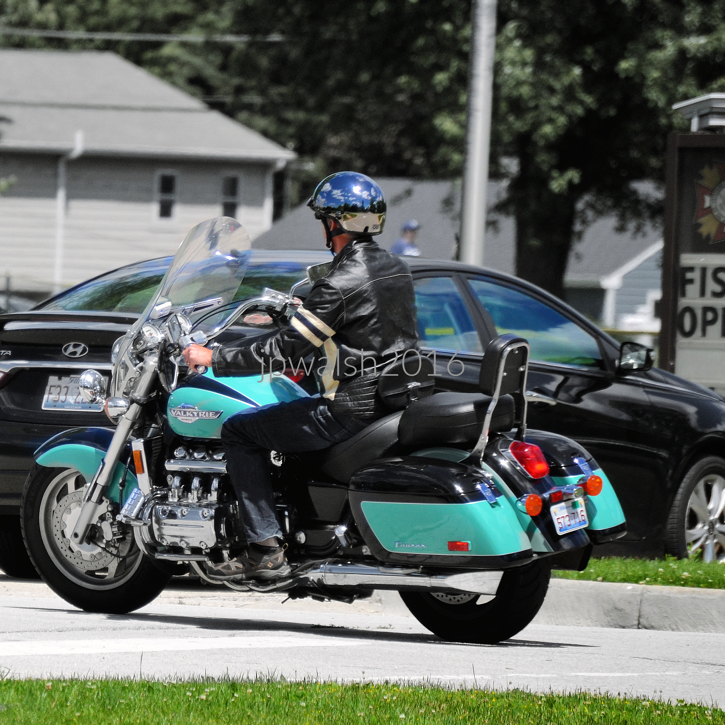
Above: Factory two-tone Pearl Jade Green and Black finish 1998 Honda Valkyrie Tourer (GL1500CT).



Above: A beautifully polished Big Blue Pearl 2012–2013 Harley-Davidson Road Glide Ultra (FLTRU) showcasing its factory two-tone styling stands in the foreground. Directly behind it sits a rugged, matching Stone Blue Metallic 2015–2016 GMC Sierra 2500HD Denali pickup truck that mirrors the motorcycle’s deep blue tones. Completing the scene, a sleek Caviar black 2021–2024 Lexus IS 350 F Sport sedan glides past in the adjacent lane, creating a sharp contrast against the prominent blue vehicles.






























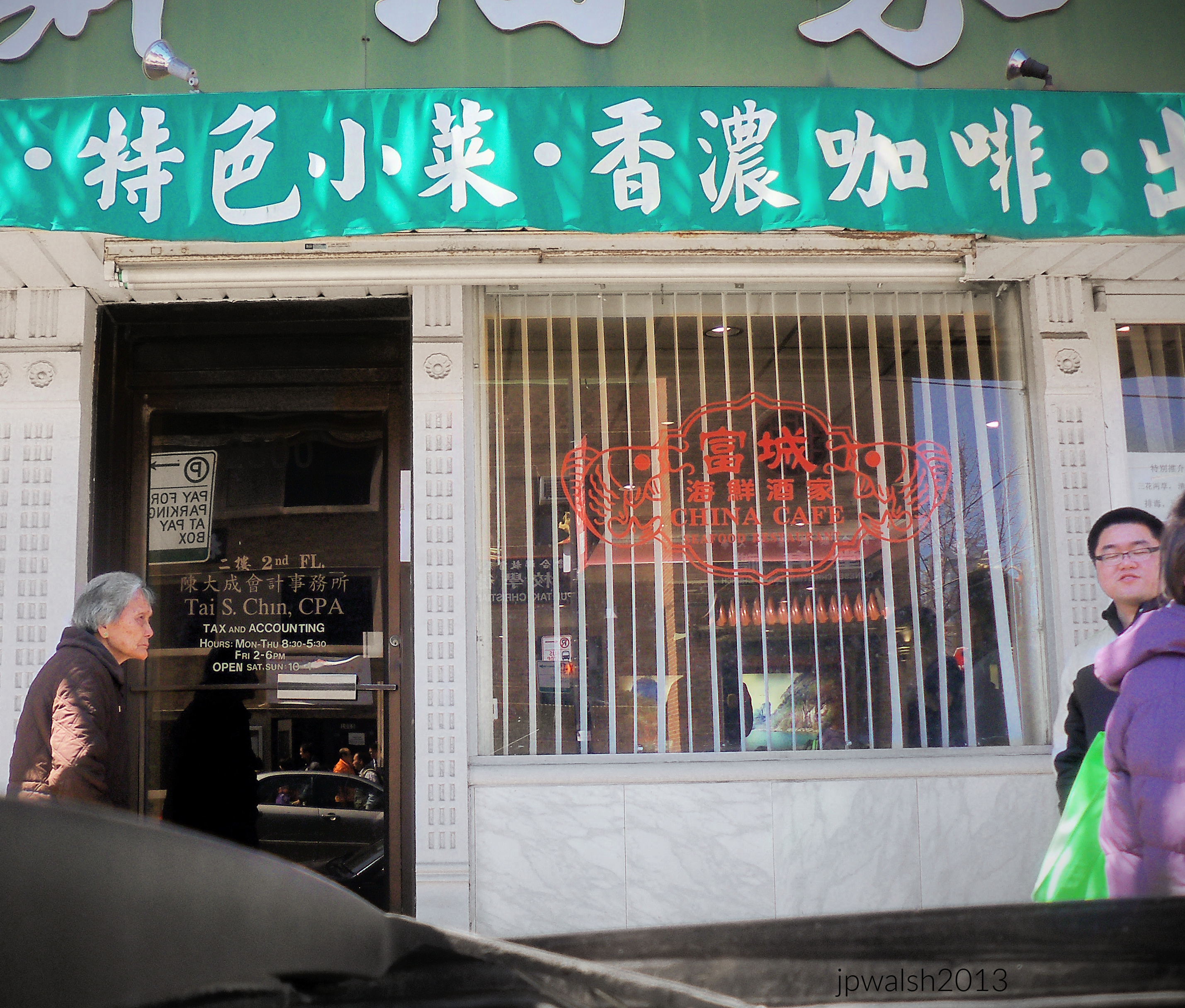

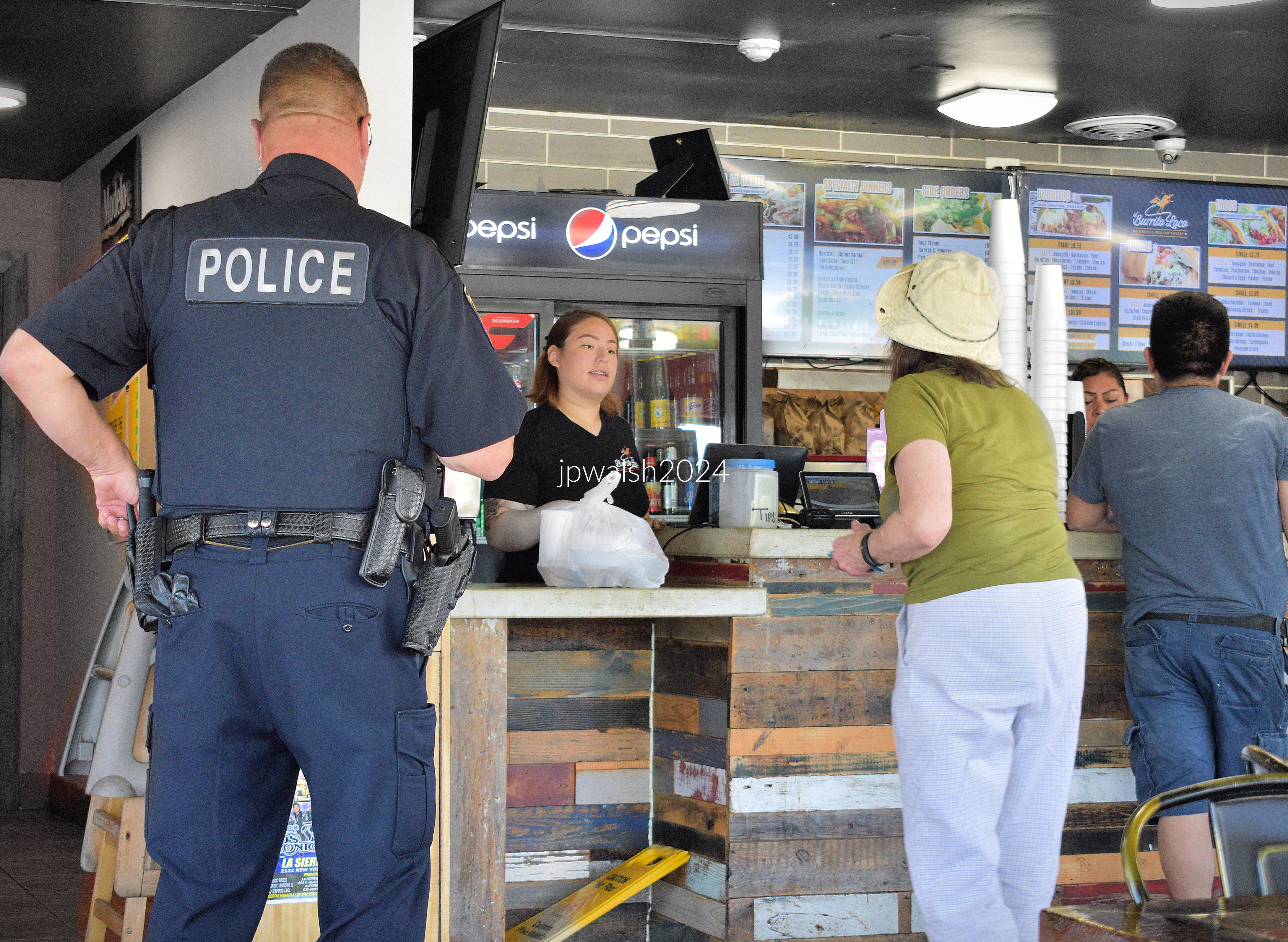

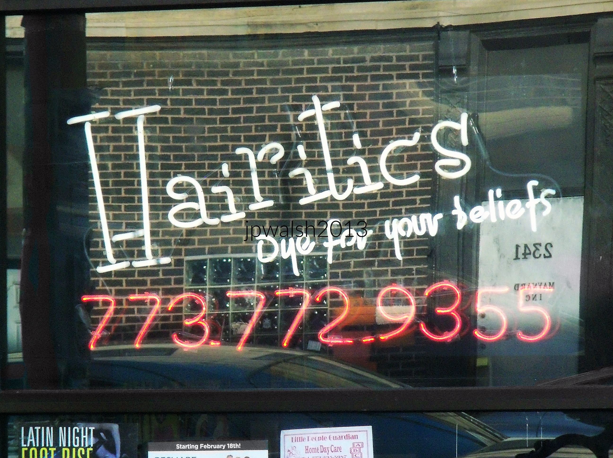

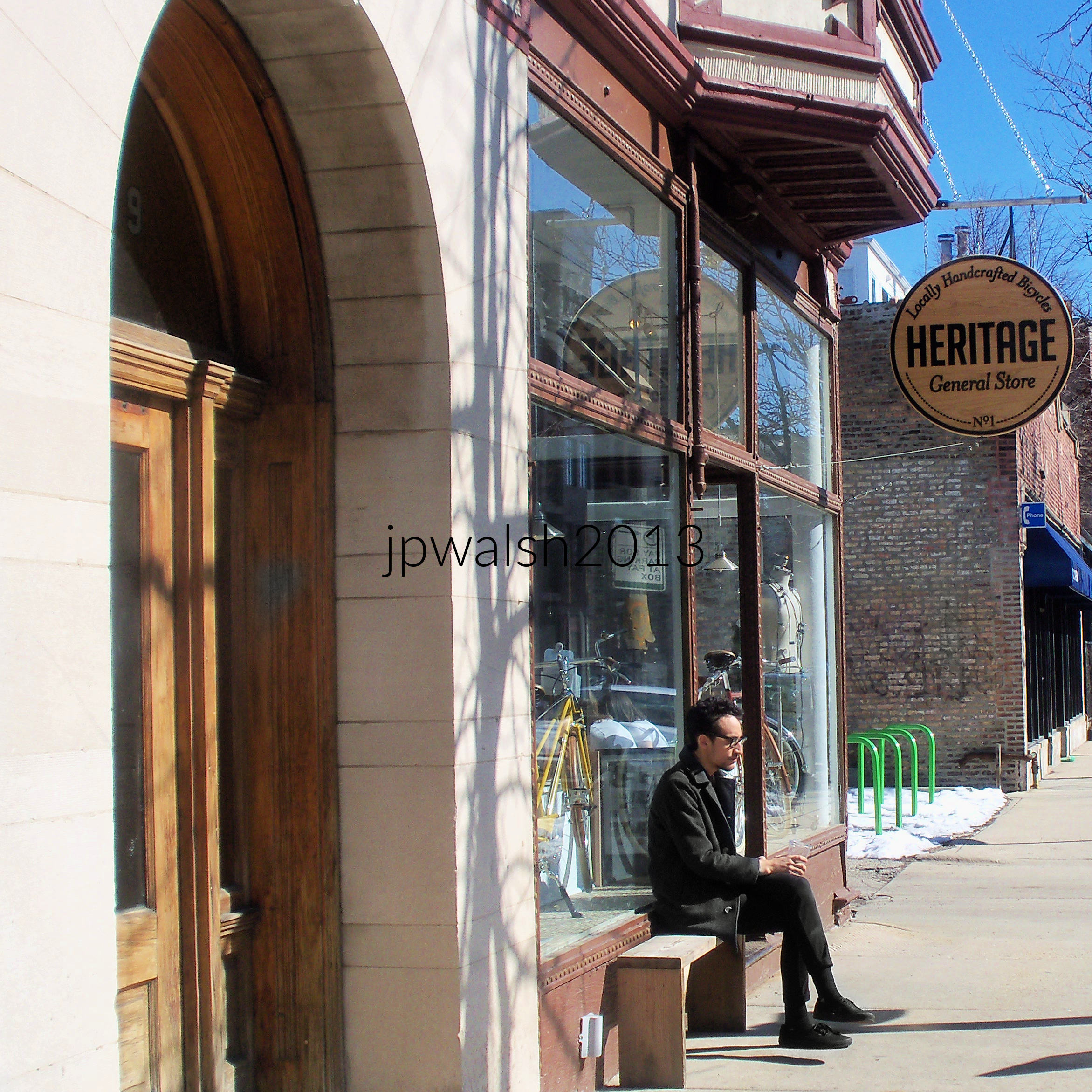
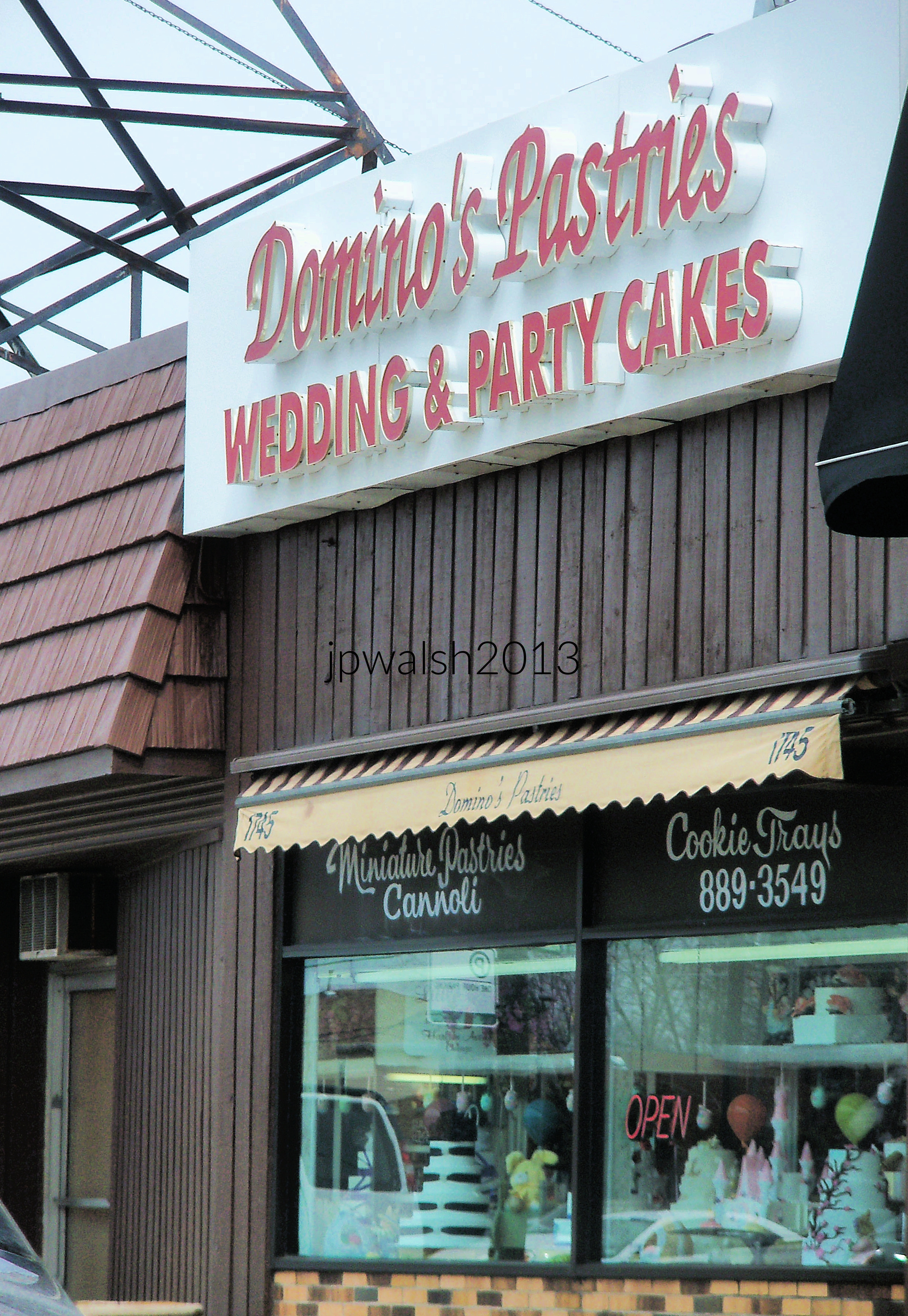
The owner came to the US from Italy through Ellis Island in 1938. The family business, Domino’s Pastries, was founded in this location in Chicago in 1952. Their loyal customer base is witnessed when the same couples who ordered their wedding cakes at Domino’s ordered many years later their anniversary cakes.









FEATURE image: July 1984. Marienplatz, Munich, Germany. 7.91mb 91%
Photographs and text by John P. Walsh.
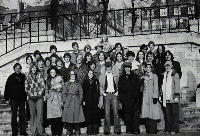
Each year the senior class at Benet Academy spent Christmas break in London. In September 1976, the travel agent—“The World Is Your Schoolhouse,” as I recall—offered an alternative: replace some of the week in London with two nights in Paris. The group voted, and Paris won.
In Paris, our first stop from Orly was Notre‑Dame Cathedral. Walking inside my first Gothic interior, my jaw simply dropped. That moment set the tone for what it meant to me to travel in Europe.
We were chaperoned by two English teachers and their wives. The rule was simple: you could stay up all night if you wished, but you had to be at breakfast the next morning for that day’s touring.
We visited the Louvre, Jeu de Paume, Eiffel Tower, the exterior of the soon‑to‑open Pompidou Center, the Arc de Triomphe, Sacré‑Cœur, and wandered the oldest streets of the Latin Quarter in search of its street life, medieval architecture, and student canteens. It whetted my appetite for future European travel.
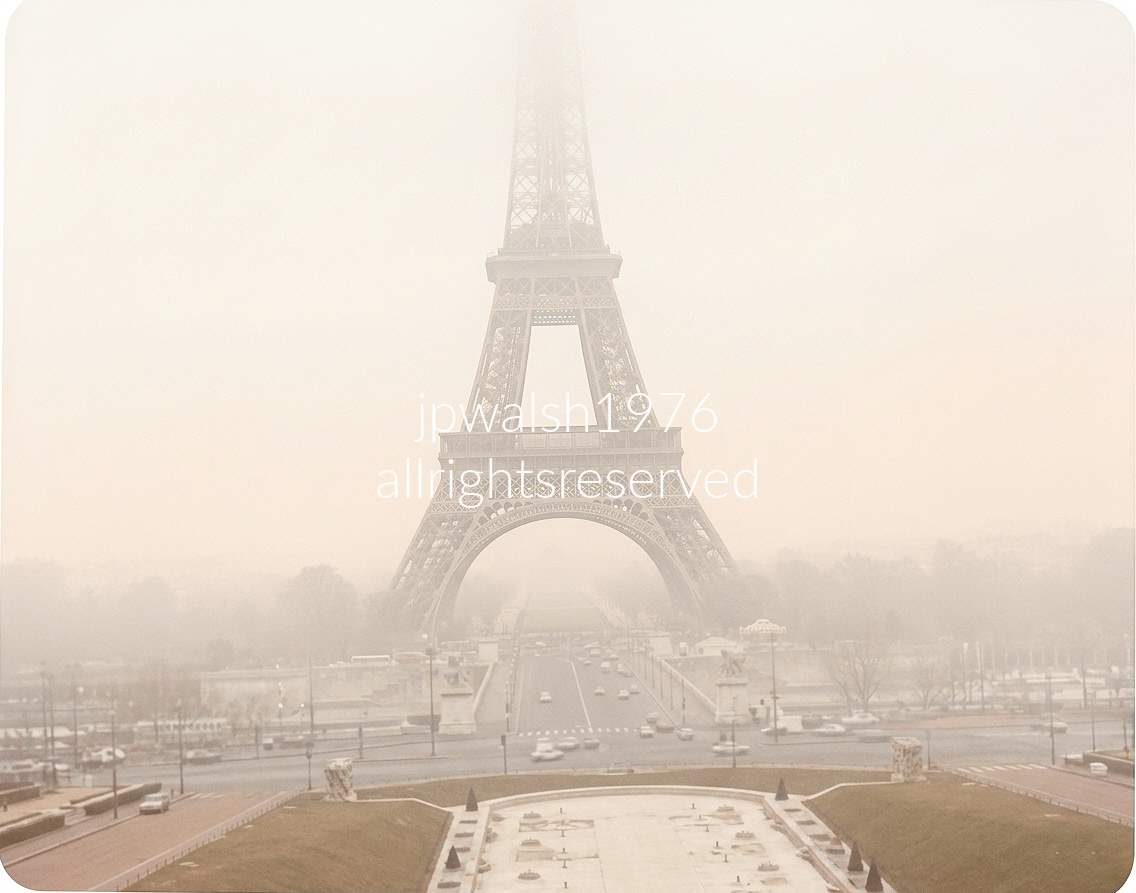
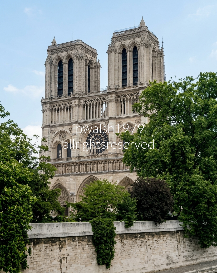
The deep freeze of late December 1976 created the exact meteorological conditions required to generate this heavy, persistent fog across Paris. While the ground and the water in the nearby Seine River were still releasing residual heat and moisture, the surrounding air temperatures were rapidly plummeting below freezing. When that rising moisture traveled upward and hit the freezing upper air currents, it instantly reached its dew point and condensed into a thick, dense cloud layer, slicing the upper architecture of the monument completely out of view while keeping the base visible.
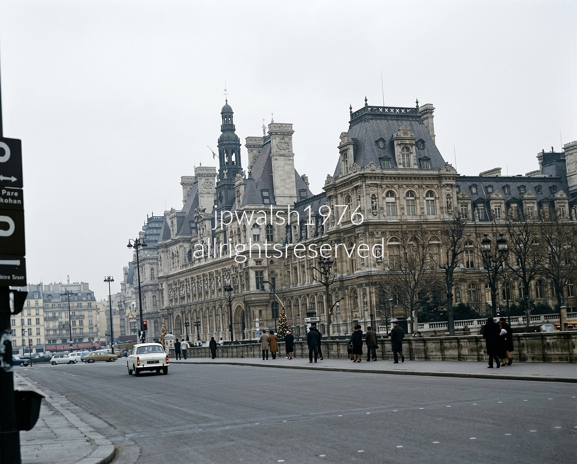
In the morning we took a charter bus to Calais, ferried across the English Channel to Dover, and stopped in Canterbury, arriving late afternoon on December 28—the eve of St. Thomas Becket’s feast day, marking his martyrdom in Canterbury Cathedral in 1170, a major pilgrimage center since the 12th century. By nightfall we reached London.

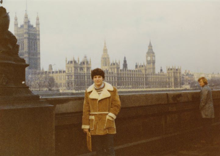
What struck me most in London was the sheer amount of theatre we chose to see: A Chorus Line, Equus, Jesus Christ Superstar, and Tom Stoppard’s new production of Jumpers. It was an unexpected cultural overload, and a defining part of the trip for me.
A group of us tried the strict 16th century “medieval feast” at the Gore Hotel at 190 Queen’s Gate, South Kensington, and later an East End Indian restaurant, widening our sense of the city’s food culture. Some of us even made speeches at Speakers’ Corner in Hyde Park.
We visited Windsor Castle, Hampton Court, Westminster Abbey, St. Paul’s Cathedral, the Tower of London, watched the changing of the Horse Guard at Buckingham Palace, and shopped at Harrods and Selfridge’s on Oxford Street.
From this trip I learned several principles for fitting international travel into a busy life:

In 1978, I spent three weeks in England, Wales, and Ireland with my family on an American Express tour. London offered more theatre—Paul Scofield, Robert Morley—along with the British Museum, Westminster Abbey, Hampton Court, the Tube, and other staples of the city.
We visited Warwick Castle, Bath, Oxford, Bristol, Coventry, Stratford‑upon‑Avon, Salisbury, Chester, Liverpool, Llanfairpwllgwyngyll (the longest place name in Wales), and Holyhead, among many others.
We crossed the Irish Sea by ferry to Dún Laoghaire and continued to Jurys Hotel in Ballsbridge, where we stayed several days.
Our route took us south to Glendalough, New Ross (the Kennedy family homestead), Wexford, Waterford, Cork, the Blarney Stone, Killarney, the Ring of Kerry, and the Dingle Peninsula—including beach locations used in Ryan’s Daughter. We continued to the Cliffs of Moher, Cong and its surroundings (The Quiet Man locations), Limerick, and more.
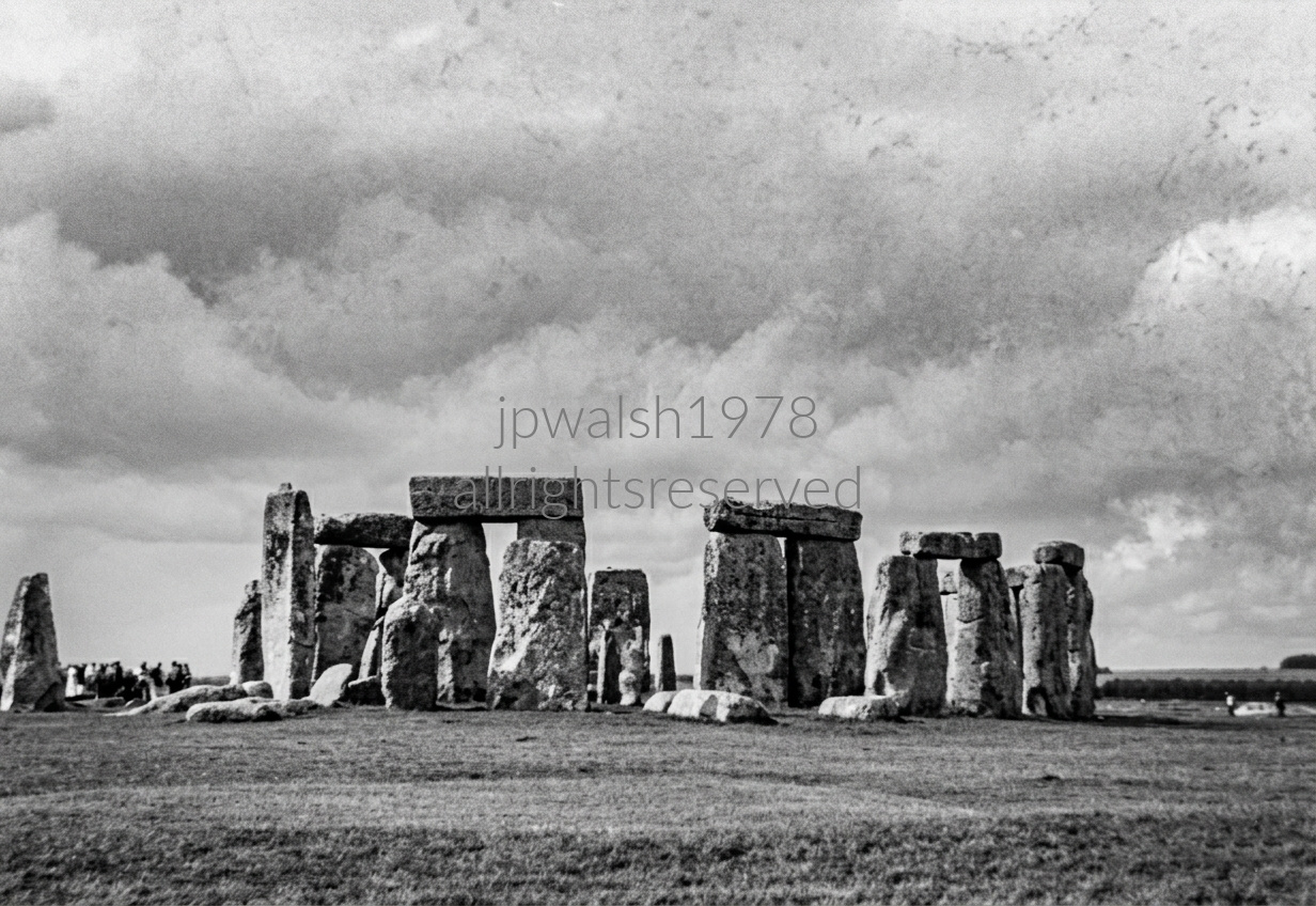
On the wide sweep of Salisbury Plain in Wiltshire, a prehistoric megalithic circle rises from the grasslands, its stones aligned with the movements of the sun. Two miles west of Amesbury, the monument endures as a precise solar calendar left by builders who recorded nothing in writing.
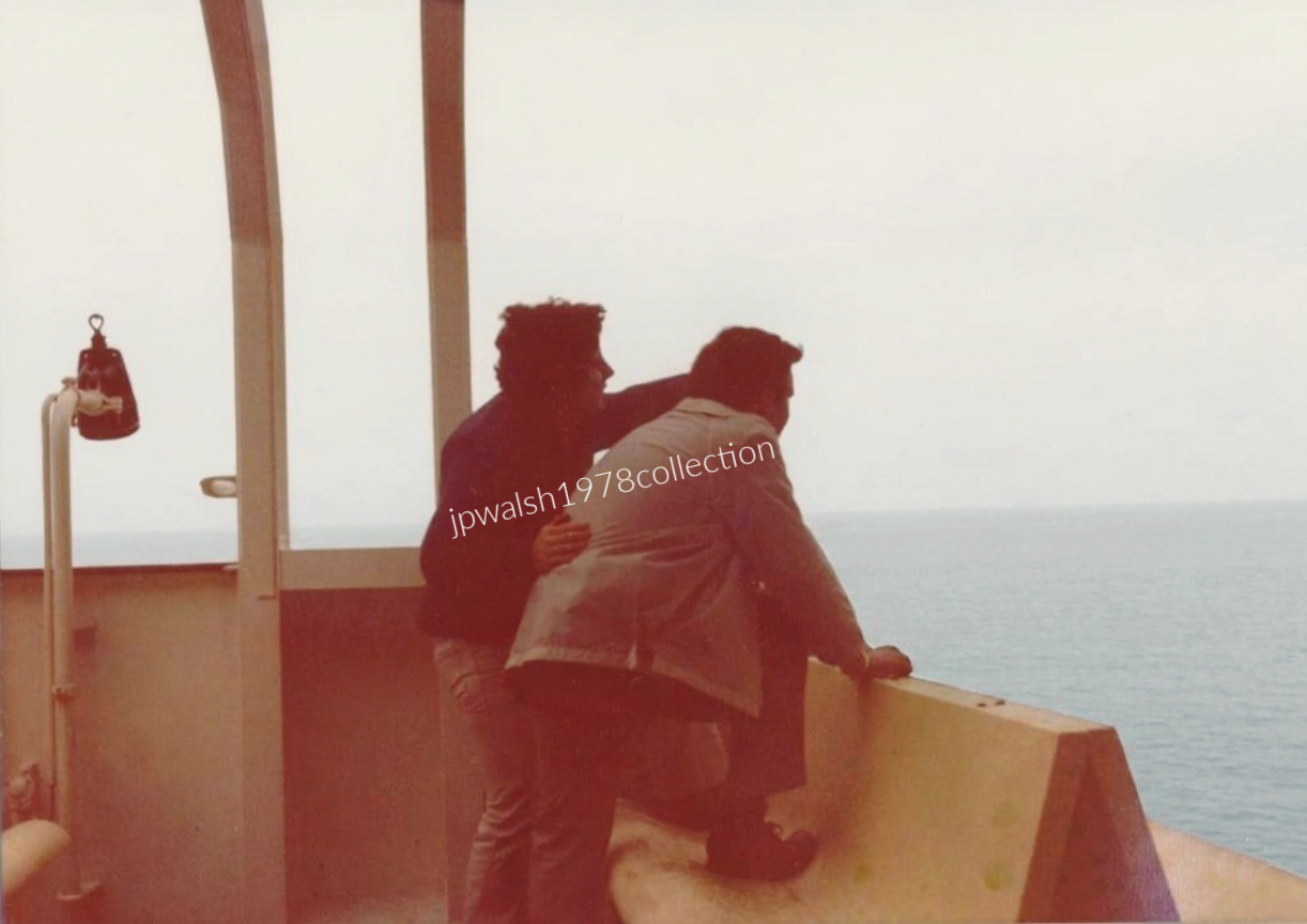
Me with my dad crossing the Irish Sea on the TS Avalon — a converted car ferry with all the charm and clatter of late‑1970s maritime engineering that was the backbone of the Holyhead–Dún Laoghaire run. It wasn’t glamorous, but it was unmistakable: steel decks, salt wind, and a steady churn across the channel that defined the era’s travel rhythm.

Me seated on a stone boundary wall directly outside the famous, historic thatched cottages on Main Street in Adare, County Limerick, Ireland. Built in the 1820s by the Earl of Dunraven for estate workers, these iconic thatched-roof buildings are protected architectural heritage landmarks. Today, they make Adare celebrated as one of the most picturesque villages in Ireland.

Opened in 1967, the Berkeley Library stands at Trinity College, Ireland’s oldest university, founded in 1592 by Queen Elizabeth I. Located in the heart of Dublin, the building is a clear example of Brutalist architecture—exposed concrete, a monochrome palette, steel, timber, and glass—reflecting a mid‑20th‑century move away from nostalgic styles in the United Kingdom.
The library was named for George Berkeley (1685–1753), the 18th‑century philosopher whose ideas on perception and reality anticipate aspects of Albert Einstein’s work. Berkeley had been a Trinity fellow and, fittingly, a former librarian of the college. He is also the namesake of the University of California, Berkeley and Berkeley College at Yale University.
In 2023, Trinity’s governing board removed Berkeley’s name from the library after acknowledging his role as a slave owner and defender of slavery. The decision marked a significant reassessment of institutional commemoration.
In 1979, while researching Irish history from the 13th to 16th centuries, I used both the Berkeley Library and the Old Library (begun in 1712), along with the nearby National Library of Ireland (1877) on Kildare Street. see https://www.insidehighered.com/news/quick-takes/2023/05/09/berkeley-name-dropped-trinity-college-library – retrieved October 5, 2023.

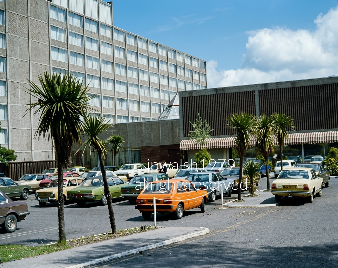
July 1979 — The original Jury’s Hotel (later the Ballsbridge Hotel) on Pembroke Road in Ballsbridge, Dublin, built in 1963 as a joint venture with Aer Lingus to serve as the city’s premier modern Intercontinental‑class hotel. Rebranded as Jury’s in the early 1970s, the property became a landmark of Dublin’s first wave of post‑war functionalist modernism—its tall, modular, concrete‑gridded guestroom wing rising on the left. The b lining the parking dividers evoke the unmistakable aesthetic of John Hinde‑era postcards, while the dense lineup of 1970s European family cars—saloon cruisers and a bright yellow hatchback centered in the frame—anchors the scene firmly in the mid‑to‑late decade.
The hotel closed permanently in 2019 and was purchased by the U.S. Department of State. The entire 4.2‑acre brutalist complex was subsequently demolished, and the U.S. government is now investing to construct a new, highly secure embassy compound on the site. The palm trees, the concrete modernist façade, and the mid‑century hospitality landscape captured in this photograph are gone—replaced by a fortified American diplomatic zone.
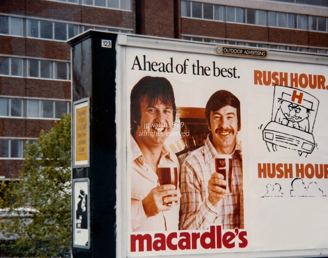
July 1979 — Signage on the foot path commute from Sandymount to Trinity College.
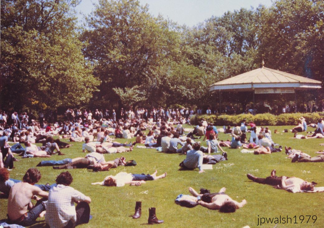
In the early nineteenth century, St. Stephen’s Green was reserved exclusively for the gentry. An iron gate installed in 1815 was kept locked, with keys issued only to local residents. Working‑class Dubliners and the poor were barred entirely.
Access remained restricted until 1877, when Lord Ardilaun (Arthur Guinness, 1840–1915) secured legislation in Parliament to open the Green to the public. He also funded the redesign and layout of the park in 1880, giving it the form recognizable today.
Nearly a century later, in 1979, the Green drew a broad cross‑section of Dubliners—university students, professionals, tradesmen, families, and visitors—a democratic contrast to its earlier exclusivity.

Known officially as the Chancery Building at 42 Elgin Road, the U.S. Embassy occupies one of Dublin’s most prestigious addresses and stands as one of the city’s signature modernist structures. It opened in May 1964 on a triangular plot between Elgin and Pembroke Roads in Ballsbridge. I walked past it daily in the summer of 1979 on my way from Sandymount to Trinity College and the National Library.
Designed by John M. Johansen (1916–2012), a Harvard professor, and Irish architect Michael Scott (1905–1989), the embassy’s circular form was conceived as an homage to ancient Celtic monuments—especially Newgrange—as well as round stone forts and Martello towers. Its geometry also referenced the original Stars and Stripes, with 13 stars symbolizing the original states.
By 2024, the embassy had erected tall perimeter gates and purchased the former Jurys Hotel site to begin constructing a new, larger embassy, marking a significant expansion after sixty years at the Elgin Road location.

The strike by the Irish Post Office Workers Union began on February 19, 1979 and lasted 18 weeks. The 1979 Irish postal strike was the longest in the country’s history and the first major national postal dispute since the 1922 Postal Strike. Mail delivery stopped entirely, so during that early summer I could neither send nor receive correspondence normally to and from the U.S. Slowly we found ways around the stoppage: handing correspondence to American contacts returning stateside who could post them there— effective for outbound mail, but useless for anything coming the other way.
When the strike ended in late June, postal workers received an average raise of £10. Although deliveries resumed on June 18, the system remained backlogged for months.
First‑class mail was not accepted again until July 9, and packages not until July 18. For all practical purposes, the service stayed functionally disabled throughout the entire sojourn.
In summer 1979, we went frequently to E. Borza Fish and Chips in Sandymount, across from Sandymount Green. The busy Borza family shop at 5 Sandymount Green, run for many years by Bruno and Angela Borza, served generations of locals for more than fifty years before closing permanently in early 2019. The takeaway began frying fresh fish and hand‑cut Maris Piper potatoes at this location in 1965. An archival television segment filmed in 1979 showed the Borzas buying fresh whiting at the morning Dublin fish market to supply their popular trade.
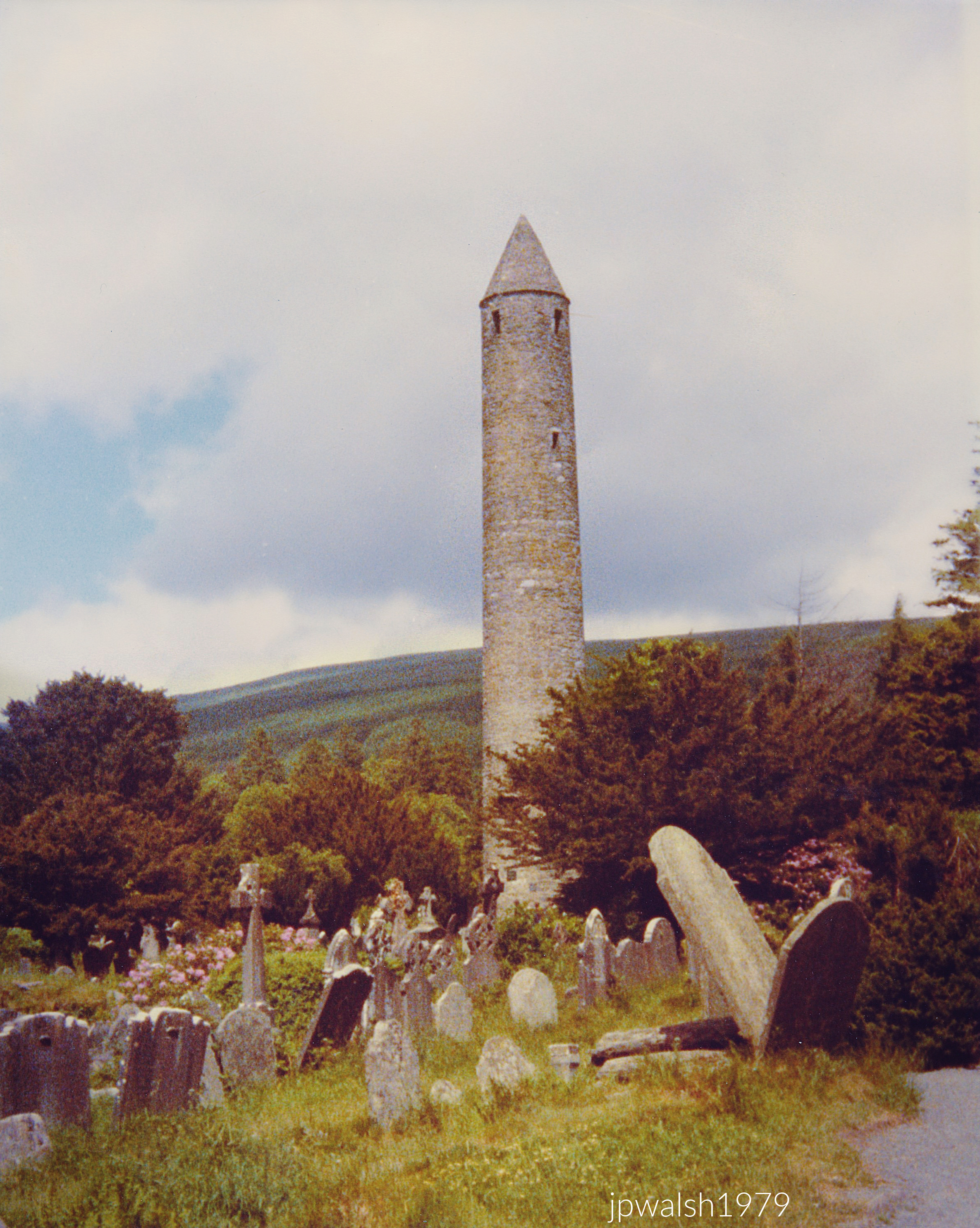

The tower served multiple purposes: bell tower, lookout (two of its four compass‑point windows mark this), marker for visitors, storehouse, and refuge during attack. Rising nearly 100 feet, it has an entrance set about five feet above ground level. Built of mica‑slate and granite, it once contained six timber floors, with its four stories connected by a network of ladders and windows. The conical rooftop, rebuilt in 1876, used the original stones.
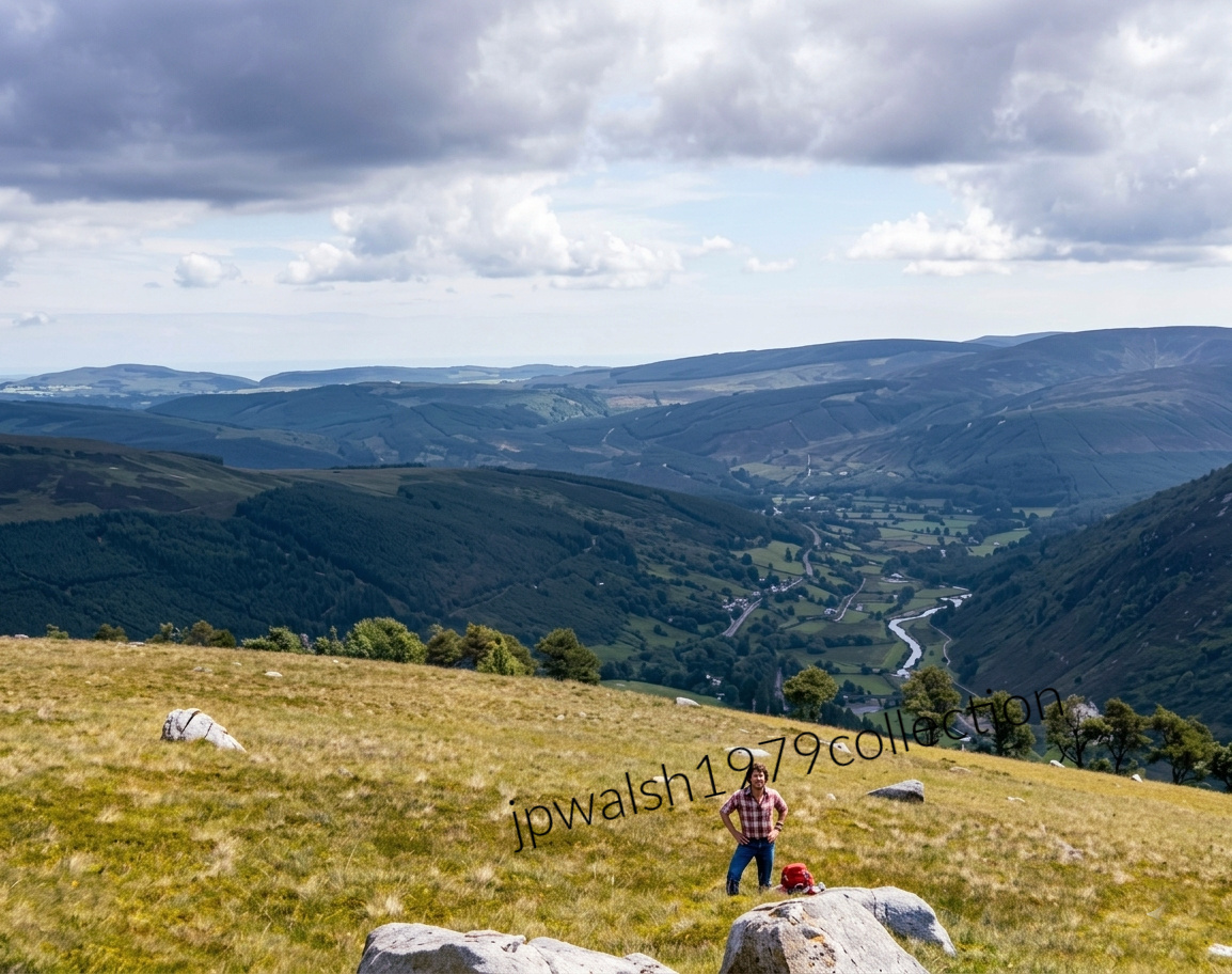
In 1978, I visited the monastic settlement in relative ease and comfort with my family. The following year was entirely different. My roommate and I hitchhiked from Sandymount in Dublin to Enniskerry, slept outdoors near Powerscourt, and then walked much of the way into the wilderness of Sugar Loaf Mountain along the Old Military Road, built by the British during Wolfe Tone’s 1798 rebellion. Alone among sheep and peat bogs—the Liffey’s source lies here—we finally caught a ride to Laragh, stopped at Patsy’s for tea and scones, and continued to the hostel at the monastic site. After a beautiful first day, rain arrived that evening and stayed. We took the bus back to Dublin, showered, changed at the chalets, and later walked with two friends to Sandymount House on a busy Sunday night, settling in for talk and a couple of unforgettable Guinness pours.
St. Kevin—my younger brother’s namesake—lived in the 6th century and is often compared to St. Francis of Assisi. Like Francis, Kevin wore rough clothing, slept on stones, ate sparingly, went barefoot, and devoted himself to prayer. He shared an extraordinary closeness to nature; animals and birds were his regular companions. St. Kevin of Glendalough was canonized in 1903 by Pope Pius X.

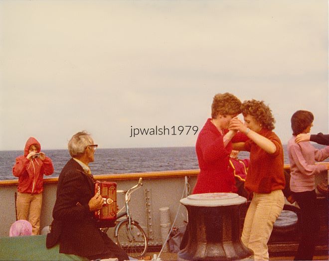
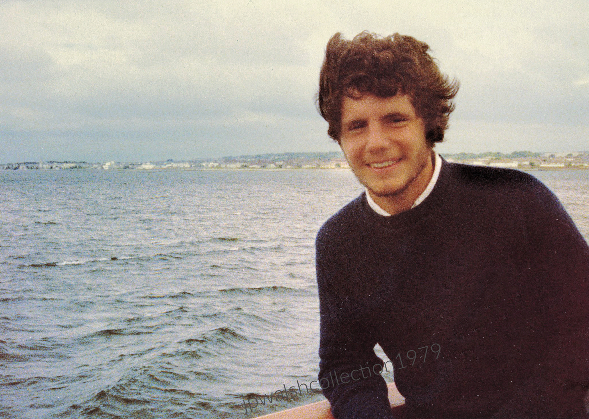

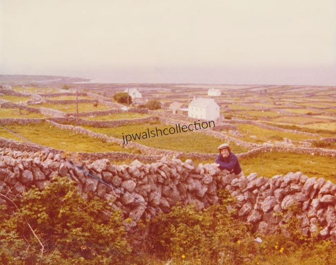
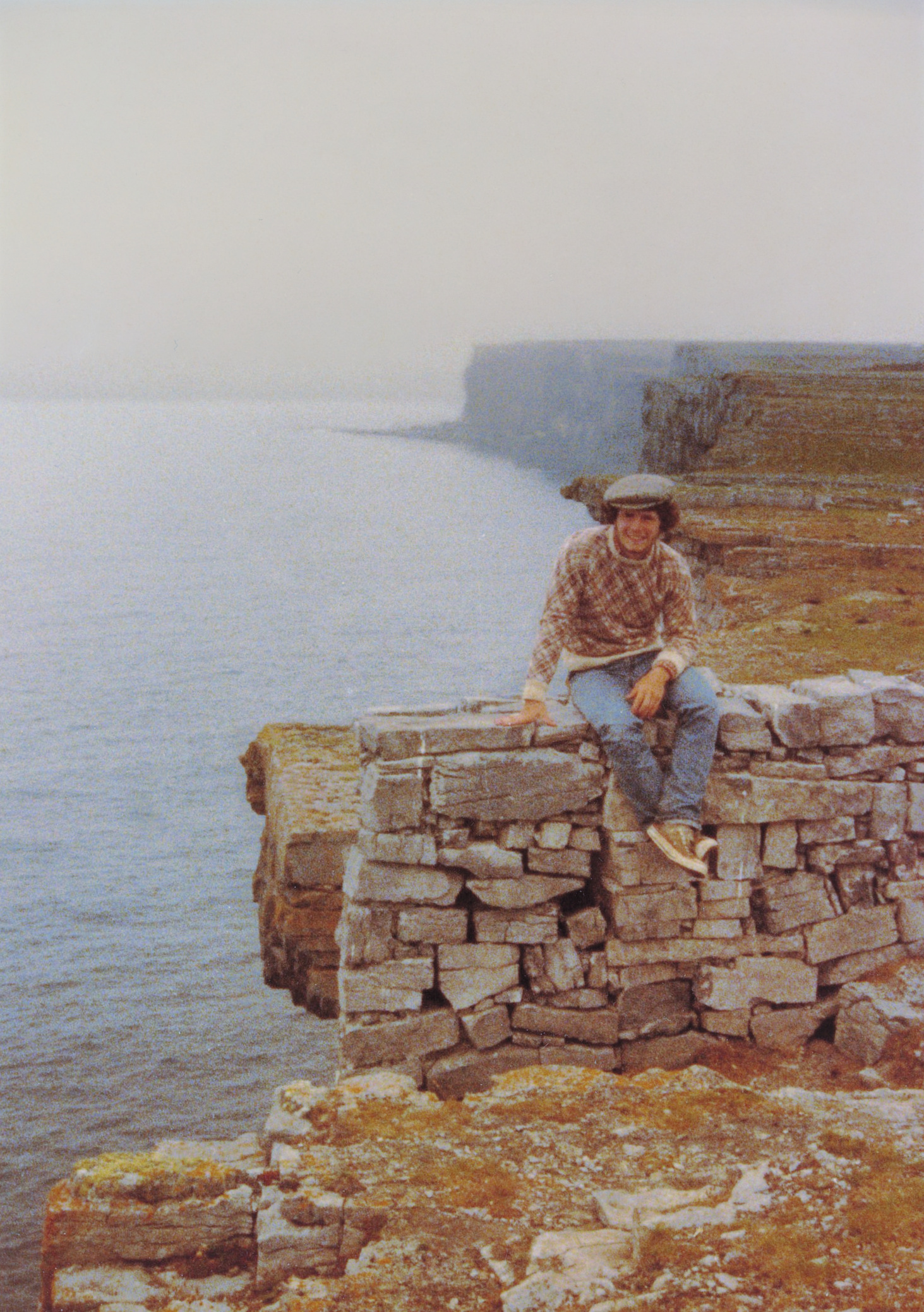
Inis Mór, the largest of the three Aran Islands in Galway Bay, covers 12 square miles and has a population of under 1,000. It is part of the official Gaeltacht, where Irish remains the predominant language of the home.
The photograph shows the island’s typical rocky terrain, a defining feature of the Aran landscape. Late in a long day of touring, I stopped into a busy pub filled with locals for a Guinness. I was eventually after unsuccessfully catching the bartender’s eye for a while—an unhurried rhythm befitting the island.
The prehistoric hill fort of Dún Aengus, perched on the cliffs of Inis Mór, is one of Ireland’s most dramatic archaeological sites. Roughly half of the circular fort has fallen into the Atlantic Ocean 330 feet below. Excavations show that the fort dates back to at least 1100 B.C., anchoring the island’s human history deep in the prehistoric era.

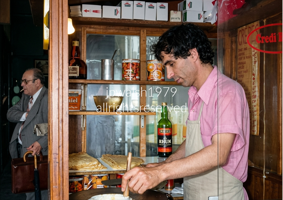
Left Bank crêperie stand, Paris — a traditional crêpier works the hot cast‑iron billig with a wooden rozell, spreading batter in perfect circles. Behind him, shelves brim with classic ingredients for sweet and flambéed crêpes; a bottle labeled “RHUM” catches the eye, ready for a fiery Crêpe Suzette. To the left, a customer in a suit smokes. On the right window, a red stamp‑style sign trimming off the final “-t” reads “Crédit…,” the familiar Parisian joke that ends “est mort”—credit is dead, cash only. The scene glows with the timeless rhythm of street craft and café wit, a snapshot of everyday artistry on the Left Bank in the last summer of the 1970’s.

Boulevard de Clichy in the Montmartre area of Paris, France. The crowded, rising path flanked by historic Haussmann‑style architecture is Rue de Steinkerque, which leads on foot directly to the Sacré‑Cœur Basilica, perched atop the Montmartre hill.

Place du Tertre in the Montmartre district of Paris, France. The background features the historic Belle Époque‑era restaurant and cabaret La Crémaillère 1900, which was refitted in 1926 into the traditional dining and performance venue seen today.
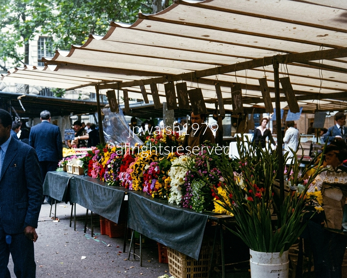
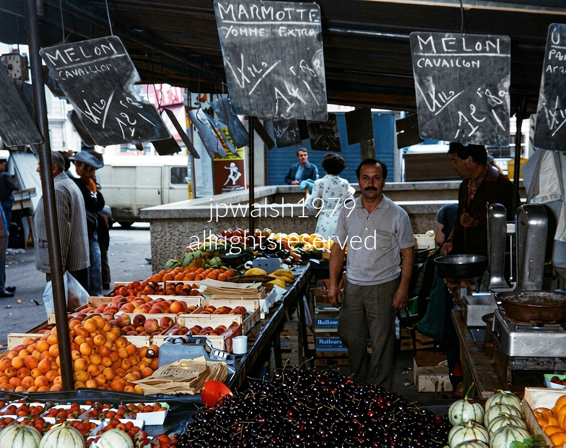
Under cream-colored canvas canopies with scalloped brown trim, the open-air stalls of Marché Maubert line Place Maubert in Paris’s 5th arrondissement. Founded in 1547, this is one of the city’s oldest neighborhood markets. Here, vendors lay out massive, vibrant bundles of fresh-cut French blossoms alongside generous piles of regional produce, featuring summer standouts like sweet Charentais melons from Cavaillon. Peeking out in the background, the classic stone masonry, wrought-iron balconies, and tall windows of historic Latin Quarter apartment buildings surround the bustling square through the chestnut trees.

Trafalgar Square, London. Nelson’s Column, built between 1840 and 1843, commemorates Admiral Horatio Nelson, who died securing victory at the Battle of Trafalgar in 1805. Rising roughly seventeen stories, the monument is anchored by four monumental bronze lions sculpted by Sir Edwin Landseer and installed in 1867. The surrounding square, laid out in the 1820s by architect John Nash, remains one of London’s central public gathering spaces and a major cultural landmark.

Elgin Marbles (447 -432 BCE). The left side of the East Pediment of the Parthenon unfolds as a rising sequence of divine presences, each catching the first light of Helios as dawn breaks over the world. Reading left to right, the sculptural group moves from the surge of cosmic energy to the calm poise of Olympian order:
Helios, the Sun God, bursts into the scene at the far left, his chariot horses straining upward as they emerge from the sea’s horizon — the visual metaphor for sunrise. His powerful, forward‑driving motion sets the tempo for the entire pediment.
Next reclines Dionysus — sometimes interpreted as Heracles — a youthful, muscular figure resting with effortless confidence, his body turned toward the unfolding drama at the pediment’s center.
To his right sit the serene pair of Demeter and Persephone — though some scholars propose Leto and Artemis instead. Their quiet, composed presence anchors the composition, embodying divine stillness in contrast to Helios’s kinetic surge.
Standing beside them is Iris, the fleet‑footed messenger goddess. Her drapery clings in wind‑swept folds as she moves with purposeful grace, a subtle transition figure leading the eye toward the central birth scene of Athena.

Michelangelo’s David, carved c. 1501–1504, has stood in the Galleria dell’Accademia since 1873.
The biblical David became a civic emblem for Florence, representing the defense of civil liberties embedded in the 1494 republican constitution — an independent city‑state resisting pressure from larger regional powers and the ambitions of the Medici family.
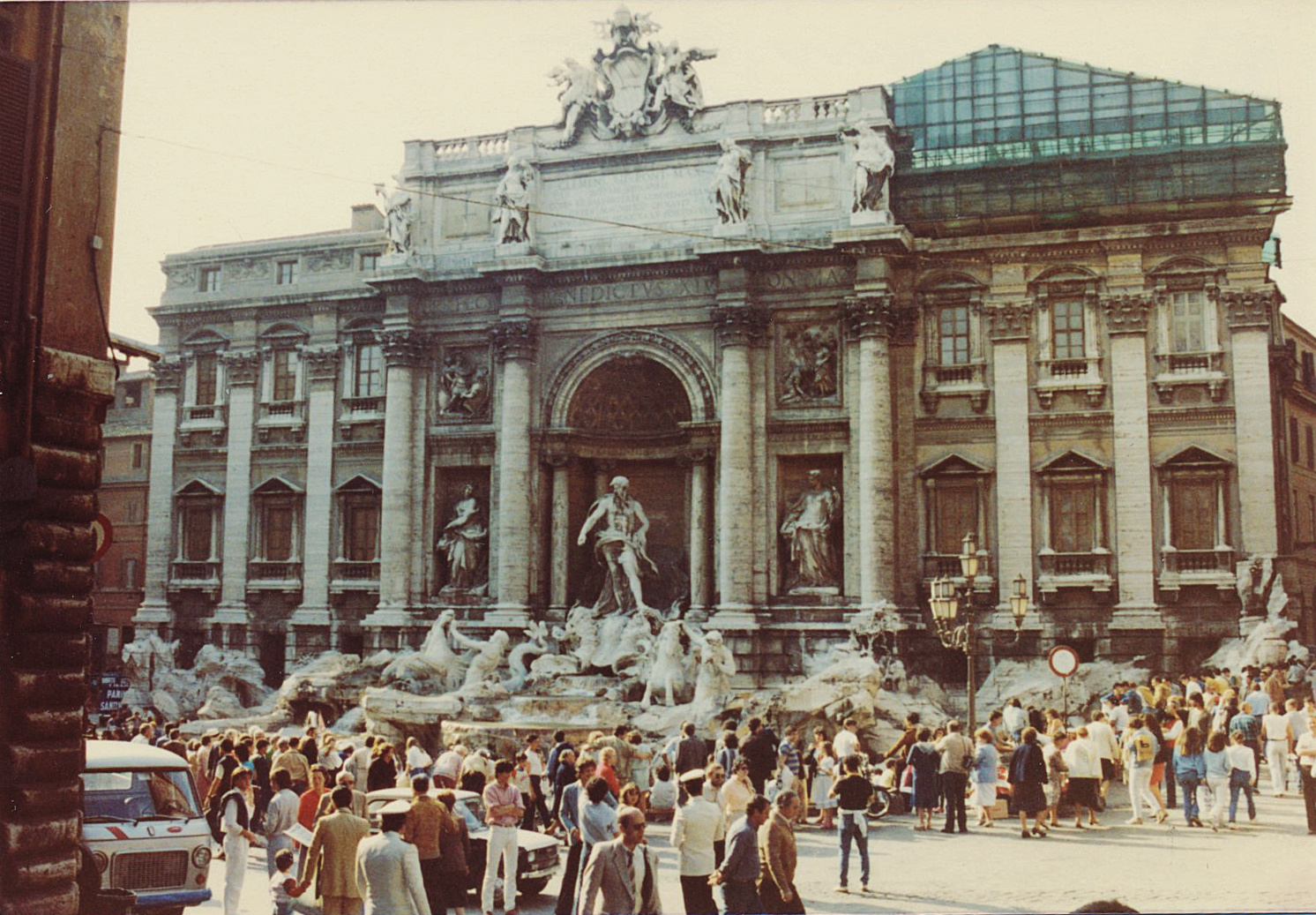
Federico Fellini’s La Dolce Vita (1960) features an ensemble cast led by Marcello Mastroianni and Anita Ekberg. According to Ekberg, the famous Trevi Fountain scene was filmed in late January. Mastroianni’s character, Marcello Rubini, is a tabloid journalist drifting through Rome in a fruitless search for its “sweet life.” The news photographer Paparazzo (played by Walter Santesso) gave rise to the modern term paparazzi for intrusive celebrity photographers.
“The tradition is that you throw one coin if you want to return to Italy, two coins for romance, or three coins if you want to get married.”
Filmed in De Luxe color and Cinemascope, Sol Siegel’s Three Coins in the Fountain (1954) follows three American women finding romance in Rome. Shot on location, it won Academy Awards for Best Cinematography (Milton Krasner) and Best Song (Jule Styne and Sammy Cahn). Though narratively thin, it was a major box‑office success. Nominated for Best Picture, the film starred Dorothy McGuire, Maggie McNamara, Jean Peters, Rossano Brazzi, Louis Jourdan, and Clifton Webb. Variety praised it for “warmth, humor, a rich dose of romance and almost incredible pictorial appeal.”


Intersection of Rue de Turenne and Rue de Parc-Royal (3rd).
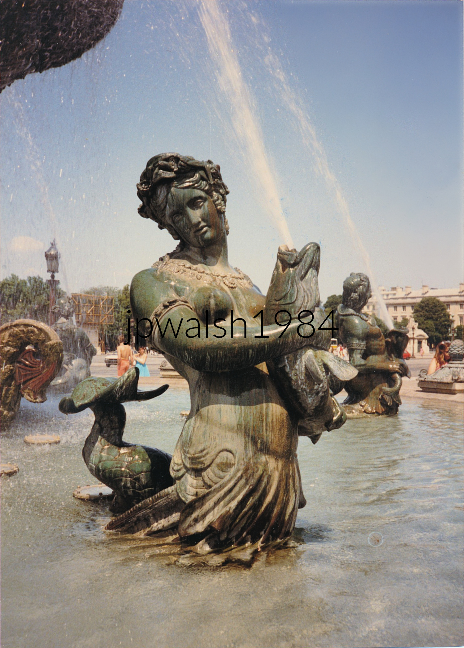
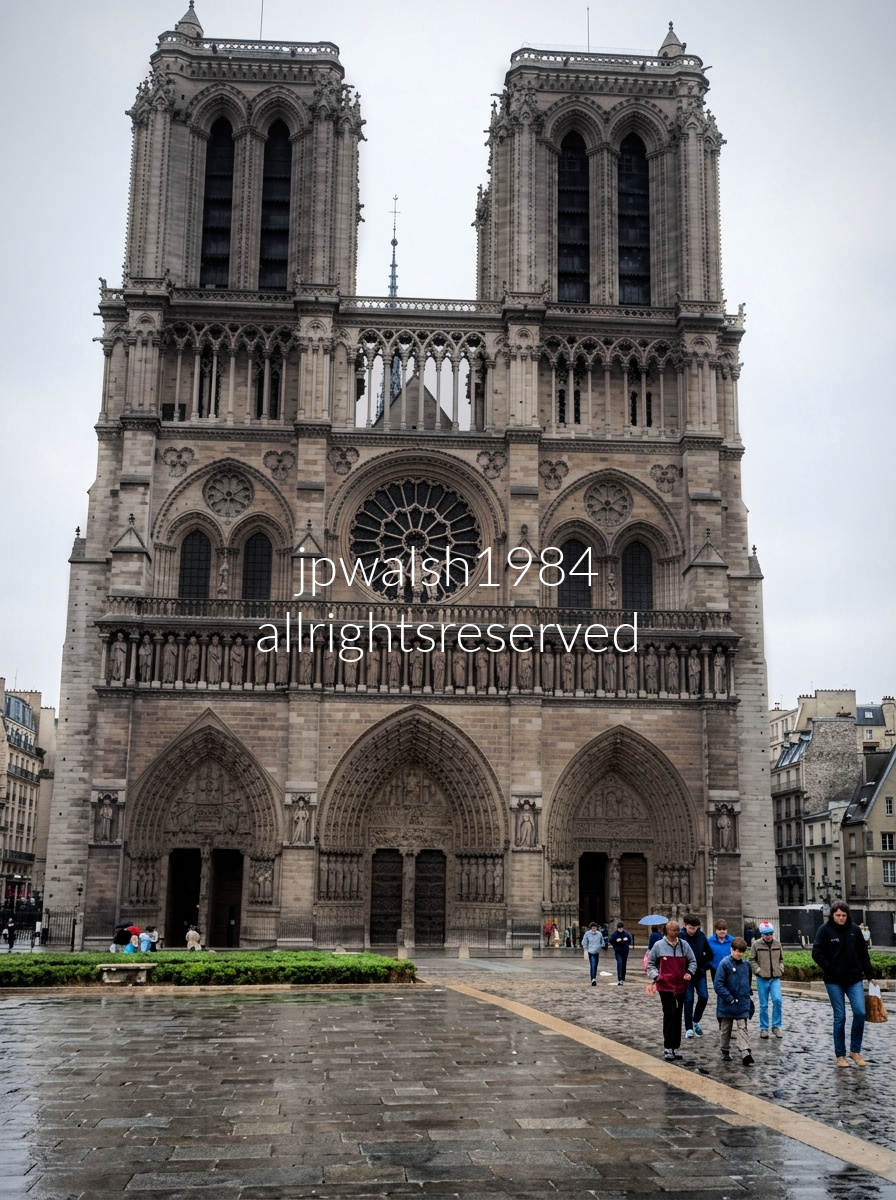
The year 1984 was a milestone period for travel to France when 1.9 million Americans visited France in 1984, setting a historic, record-breaking tourism high for the country up to that point. This era cemented Notre-Dame as a textbook example of “mass tourism,” prompting the city to permanently reconsider how crowd management, safety, and tour buses utilized the historic Île de la Cité island.

In 1984, France welcomed 1.9 million American visitors, and Paris itself saw roughly four million total tourists—numbers that still allowed the city to function as a city rather than a global attraction system. By 2025, France drew more than five million American visitors, a 17 percent jump from 2024, and Paris tried to absorb an astonishing 38 to 40 million tourists. At that scale, Paris doesn’t just feel like Disneyland—it operates like one today, because the math forces it to.
Before smartphones, selfie sticks, massive security barriers, and advanced computerized reservation queues, visiting Paris in 1984 was a quieter, more spontaneous experience. The mid‑80s city still moved at a local neighborhood rhythm: cafés unhurried, façades weathered, streets shaped by everyday life rather than global tourism flows.
For context, the Disney theme resorts in Europe and the United States collectively welcome over 65 million visitors each year—a number now comparable to Paris’s modern tourist load. https://www.statista.com/topics/6314/tourism-in-paris/?srsltid=AfmBOor-tWwU65dGG8T9XYmNVwAwF8UT0ZNvsFl-NAfRiaia8ECkawe7 and Disney World Statistics – The Truly Fascinating Numbers Behind Disney– retrieved August 27, 2026.
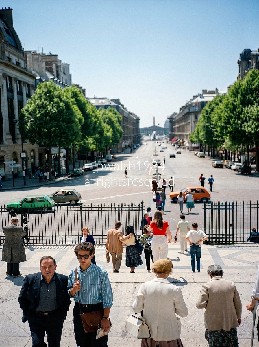
Sunday morning in Paris from the steps of the Église de la Madeleine (Madeleine Church), looking directly straight down Rue Royale toward the Place de la Concorde.

Interior of the Grand Trianon, the royal retreat within the Versailles estate. Its signature look comes from pink and green‑veined Languedoc marble, crisp parquet floors, and large multi‑paned arched doors opening toward an outdoor balustrade—a refined, geometric vocabulary that defines the building’s style.
Set about a 30‑minute walk northwest of the main palace, the Grand Trianon served as Louis XIV’s private sanctuary—an escape from the suffocating etiquette, constant surveillance, and crowds of the Versailles court. Here, the king could move more freely, host select guests, and enjoy a quieter, more intimate environment.
Built in 1687 by royal architect Jules Hardouin‑Mansart, the Grand Trianon reflects his mastery of classical proportion and restrained ornament. Louis XIV personally supervised the project, shaping the building’s layout and insisting on architectural features that reinforced its elegance and openness.
One of the château’s defining elements is the Peristyle—the open‑air, columned gallery linking the two wings. Louis XIV mandated its inclusion, creating a breezy passage that frames long axial views of the gardens and dissolves the boundary between architecture and landscape.
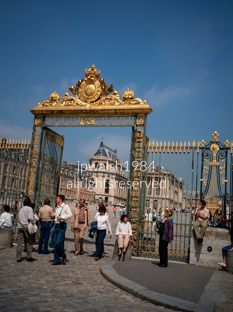
The Gate of Honour (Grille d’Honneur) forms the outermost barrier between the Versailles palace grounds and the city square. For decades, especially through the 1980s, this was effectively the main entry point: the inner Royal Gate had been destroyed by revolutionaries in 1794 and would not be rebuilt until 2008. Visitors passed through this outer gate and walked directly into the full sweep of the main courtyard up to the palace façade.
The original Gate of Honour was designed around 1680 by Jules Hardouin‑Mansart, Louis XIV’s First Architect. Like many architectural elements of Versailles, it was breached and destroyed during the French Revolution, leaving the palace’s front approach visually and symbolically open.
The ornate gate seen today is not Louis XIV’s original design but a 19th‑century reconstruction. Under King Louis‑Philippe, the Gate of Honour was redesigned, heavily modified, and installed in the 1830s as part of his broader effort to reshape Versailles into a museum dedicated to “all the glories of France.” Its elaborate gilding and decorative program reflect this later royal vision rather than the Sun King’s.
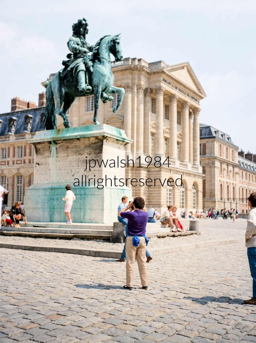
Equestrian Statue of Louis XIV in the Cour d’Honneur (Court of Honor) at the Palace of Versailles, with the palace’s Gabriel Wing—designed by the premier royal architect Ange-Jacques Gabriel in the 1770s—behind. The statue was commissioned by King Louis-Philippe in the 1830’’s and created by artists Pierre Cartellier and Louis Petitot.
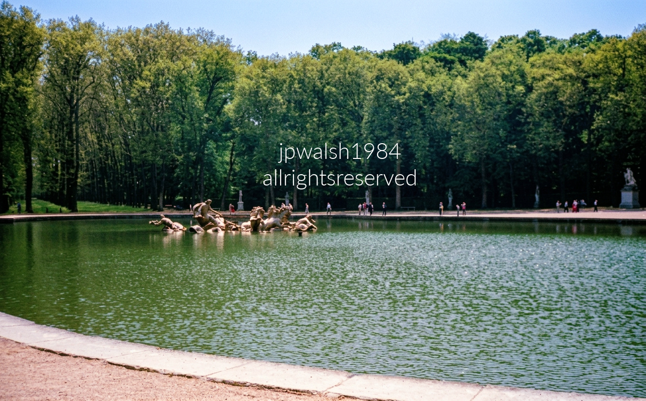
The Bassin d’Apollon sits along the central axis of the Gardens of Versailles, but for its first decades it was nothing more than a modest pond dug under Louis XIII between 1639 and 1668—a quiet, unadorned stretch of water before the Sun King transformed it.
Between 1668 and 1671, sculptor Jean‑Baptiste Tuby—working under Louis XIV—created the dramatic ensemble of Apollo rising from the water in his horse‑drawn chariot. The fountain became a central symbol of the king’s identity, projecting the Sun King’s power across the gardens.
The trees visible in this photograph belonged to the old, mixed plantings that once surrounded the basin. Nearly all were destroyed during the Christmas 1999 storm, when hurricane‑force winds—up to 130 mph—tore through Versailles for more than two hours. The disaster wiped out 80 percent of the estate’s rare and historic trees, including specimens dating back to Napoleon and Marie Antoinette.
Because the pre‑1999 groves were a patchwork of mismatched species added during 19th‑century repairs, historians and landscapers used the devastation as a reset. They replanted the groves using the exact oak and linden layouts specified in Louis XIV’s 17th‑century blueprints, restoring the perimeter lines and axial geometry the Sun King originally intended.
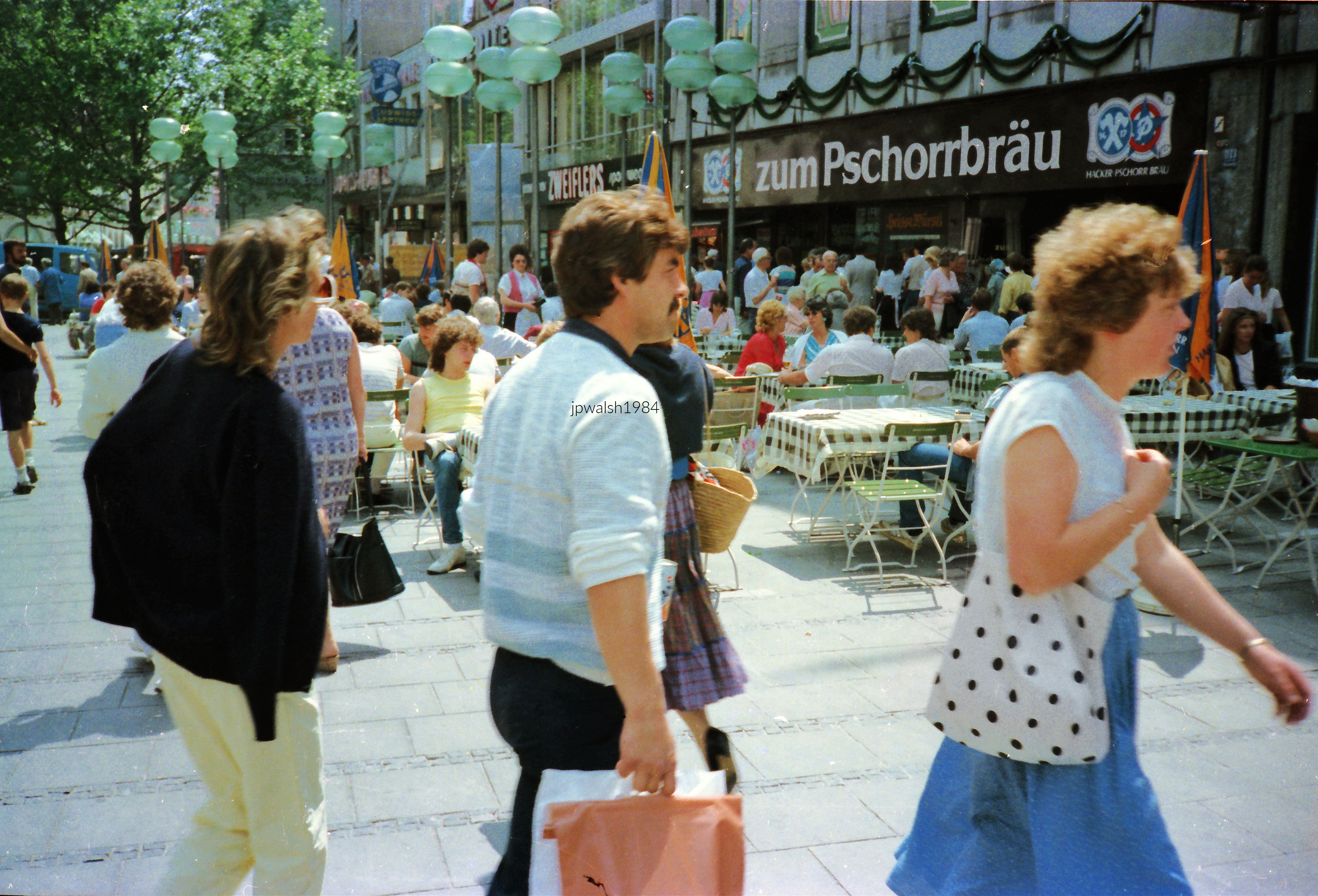
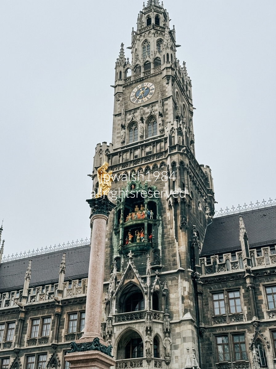
The central square known as Marienplatz is in the heart of Munich, Germany. It was originally laid out in 1158. When open-air market activities were officially relocated down the street to the larger Viktualienmarkt in 1807, the city officially renamed it in 1854 as Marienplatz (Mary’s Square) in honor of the Virgin Mary—the patron saint of Bavaria.
The building is The New Town Hall (Neues Rathaus), erected in the Flemish Gothic Revival style between 1867 and 1909. Nestled in the center of the tower is the famous Rathaus-Glockenspiel.
Though the Rathaus was severely damaged in World War II and required meticulous reconstruction, the golden statue of the Virgin Mary itself survived intact despite the massive Allied bombing. It stands as a 100% genuine Renaissance original, cast in 1590 by sculptor Hubert Gerhard.
A major transformation occurred just ahead of the 1972 Munich Olympic Games, where the Marienplatz was transformed into the pedestrian-only civic zone that exists today.
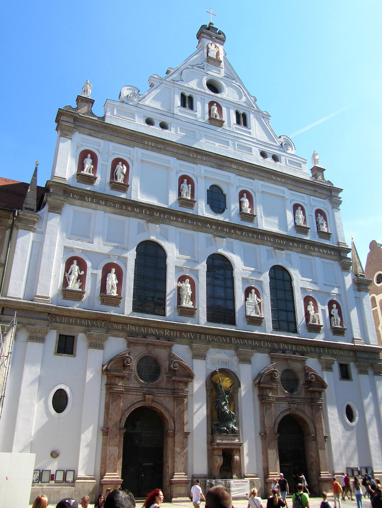
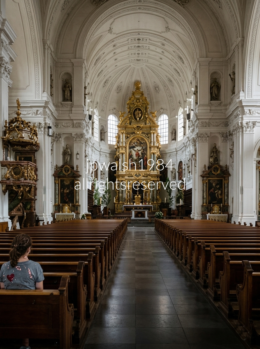
St. Michael’s Church (Michaelskirche), a historic Jesuit sanctuary located in the heart of Munich, Germany, stands as a masterpiece of ecclesiastical architecture. Commissioned by Duke Wilhelm V and constructed between 1583 and 1597, it is recognized as the largest Renaissance church north of the Alps, and its design profoundly shaped the evolution of Southern German Baroque architecture. The expansive nave is crowned by a world-renowned, monumental barrel-vaulted ceiling built entirely without internal pillar supports—a structural feat second in scale only to St. Peter’s Basilica in Rome. Anchoring the far end of the sanctuary is a magnificent, three-tiered high altar designed by Friedrich Sustris, which frames a prominent central altarpiece by Christoph Schwarz depicting the Archangel Michael triumphing over the rebel angels. Beneath the main floor lies the historic Wittelsbach Crypt, serving as the final resting place for numerous Bavarian monarchs, most notably King Ludwig II.
Beyond its architectural prominence, St. Michael’s maintains a deeply profound, historic connection to the German anti-Nazi resistance through Father Alfred Delp, S.J. The young Jesuit priest began his formal priestly ministry within these walls when he was ordained on June 24, 1937, by Munich’s celebrated Cardinal Michael von Faulhaber who delivered his famous anti-Nazi Advent sermons in 1933 which largely defined his ongoing critical tone towards the regime. Father Delp frequently ascended the pulpit of St. Michael’s to deliver powerful sermons that, alongside the courageous ministry of his fellow Jesuit Father Rupert Mayer, openly condemned the total incompatibility of National Socialist ideology with Christian values. This vocal opposition eventually led Delp to join the Kreisau Circle, a clandestine network of dissidents drafting plans for a humanitarian, Christian social order to rebuild Germany following the anticipated collapse of the Third Reich. Implicated in the wider resistance movements, Delp was arrested by the Gestapo in July 1944 and subsequently executed by hanging at Berlin-Plötzensee prison on February 2, 1945. In recognition of his enduring martyrdom, the Archdiocese of Munich and Freising has formally initiated the diocesan phase for Father Delp’s beatification process, ensuring that St. Michael’s continues to honor him as one of its most courageous historic voices.
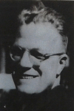
Father Rupert Mayer, S.J., was another legendary Jesuit priest whose life, anti-Nazi defiance, and legacy are completely intertwined with St. Michael’s Church in Munich, where he served as a close mentor, colleague, and inspirational figure to the younger Father Alfred Delp. His relentless courage earned Fr. Mayer the title “The Apostle of Munich.” Long before the rise of the Third Reich, Father Mayer was a celebrated national war hero; serving as a military chaplain in World War I, he lost his left leg to a grenade explosion while shielding a wounded soldier, becoming the first German clergyman to be awarded the Iron Cross First Class. When Adolf Hitler became Chancellor in 1933, Mayer immediately utilized his pulpit at St. Michael’s to preach against the Nazi movement, famously declaring that a practicing Catholic could not systematically align with National Socialism. Initially terrified of turning the immensely popular priest into a martyr, the Gestapo issued public speaking bans, which Fr. Mayer deliberately defied, leading to multiple arrests. In November 1939, as World War II broke out, the regime transferred him to the Sachsenhausen concentration camp for months of solitary confinement. Still fearful that his potential death in the camp would ignite a massive Catholic uprising in Munich, the Nazis eventually exiled him under strict house arrest at Ettal Abbey. Having survived the war, Father Mayer returned to his beloved Michaelskirche, but tragically suffered a fatal stroke and collapsed while preaching a moving All Saints’ Day sermon at the altar during Mass on November 1, 1945. Unlike Alfred Delp, whose ashes were scattered by the Gestapo to prevent the creation of a gravesite shrine, Father Rupert Mayer was laid to rest inside the lower floor of the Bürgersaal Church immediately next door to St. Michael’s. On May 3, 1987, Pope Saint John Paul II beatified Rupert Mayer at Munich’s Olympic Stadium before traveling downtown to pray at his tomb, which remains a major pilgrimage site drawing thousands of daily visitors.


Dachau’s entrance bore the iron slogan “Arbeit Macht Frei,” a phrase used across several Nazi camps. The gate became one of the site’s most recognizable symbols of coercion and deception. In 2014, the original gate was stolen, later recovered, and replaced with a replica to preserve the memorial landscape.
The sculpture below by Yugoslav artist Nandor Glid (1924–1997) honors the prisoners held at Dachau from 1933 to 1945. A Holocaust survivor himself, Glid had been a forced laborer; his father and most of his family were murdered at Auschwitz.


Neuschwanstein Castle was built from 1869 to 1886 for King Ludwig II as a personal retreat shaped by his fascination with medieval legend and Wagnerian opera.
Its white limestone façades, tall towers, and cliff‑edge perch above Hohenschwangau create the theatrical, storybook profile that later inspired countless romantic castle designs, including Disneyland’s Sleeping Beauty Castle, completed in 1955.
Inside, the rooms follow the same staged aesthetic, with murals drawn from Germanic myth and elaborate neo‑Romanesque and neo‑Gothic detailing.

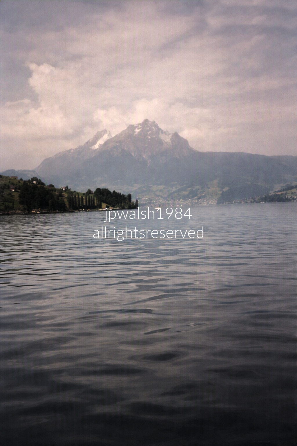
On Lake Lucerne (Vierwaldstättersee), looking directly toward Mount Pilatus in Central Switzerland. The calm water and low, overcast light flatten the scene into a silvery plane, while the mountain’s rugged mass rises through haze and legend—long associated with medieval tales of dragons and Pontius Pilate’s restless spirit.

A cab view of the Pilatus Railway (Pilatusbahn), which runs from the valley station of Alpnachstad up to the summit of Mount Pilatus near Lucerne in Switzerland. The Pilatus Railway officially was put into operation on June 4, 1889. Although there have been historical upgrades from steam (1889-1937) to electrification the train cars still ride on the exact same steel rack rails installed back in 1889 and use 1,500-volt DC overhead catenary power line system that has been powering the mountain track since 1937. This legendary transit line is famous for being the steepest cogwheel railway in the world, featuring an astonishing maximum gradient of 48%.
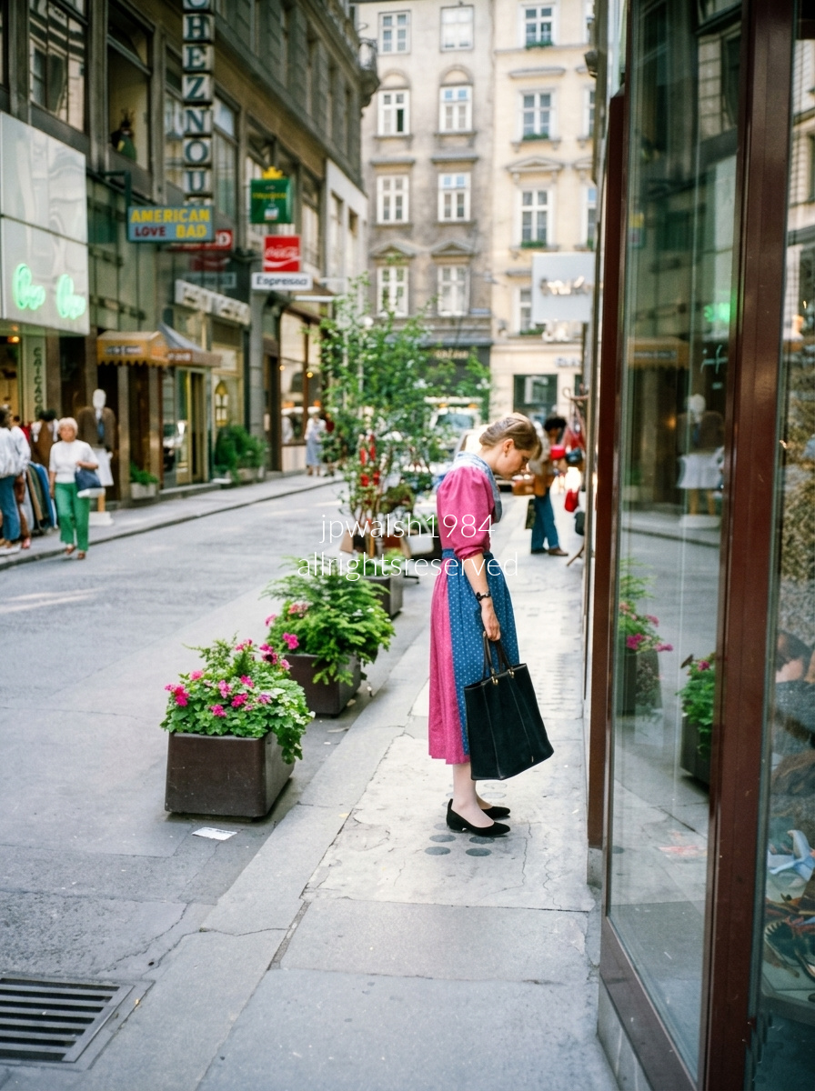
Kärntner Durchgang, a narrow pedestrian cut‑through just off Kärntner Straße in Vienna’s 1st District, carries a dense layer of nightlife and architectural history. The green neon on the left marks the old Cabaret Chez Nous at Kärntner Straße 10, once a classic cabaret and now a contemporary nightlife venue. Just beyond the glowing “American Love Bar” sign sits the discreet entrance to Loos American Bar at Kärntner Durchgang 10 — the legendary 1908 cocktail bar designed by Adolf Loos.
Except for the interruptions of World War I and World War II, Loos’s tiny, jewel‑box interior has operated continuously since 1908, making it Vienna’s first true American‑style cocktail bar. Its reputation drew generations of artists and filmmakers, including Orson Welles during the shooting of The Third Man, adding another layer of cinematic lore to this short, atmospheric passageway.
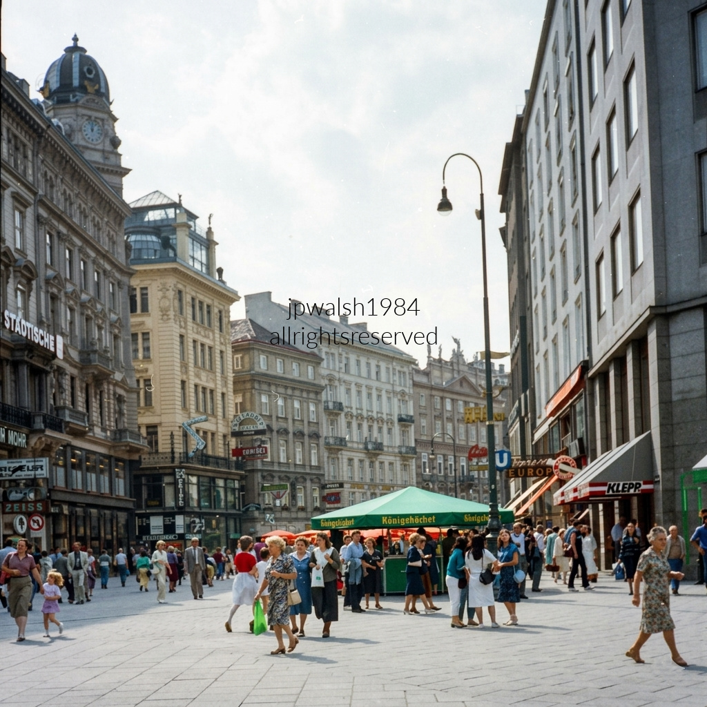
Graben, the iconic pedestrian boulevard in Vienna’s Innere Stadt, unfolds between historic façades and late‑19th‑century elegance. In the left background, the domed clock tower crowns Ankerhaus at Graben 10, an ornate flourish designed by Otto Wagner. The “Städtische” sign on the far left marks the Wiener Städtische insurance building, a familiar anchor along the street. On the right edge, the clean gray geometry of the Grabenhof—also shaped in part by Wagner—frames the scene with its disciplined lines. Evident is Graben’s blend of architectural theater and everyday movement, a crossroads where Vienna’s modern pulse meets its turn‑of‑the‑century grandeur.
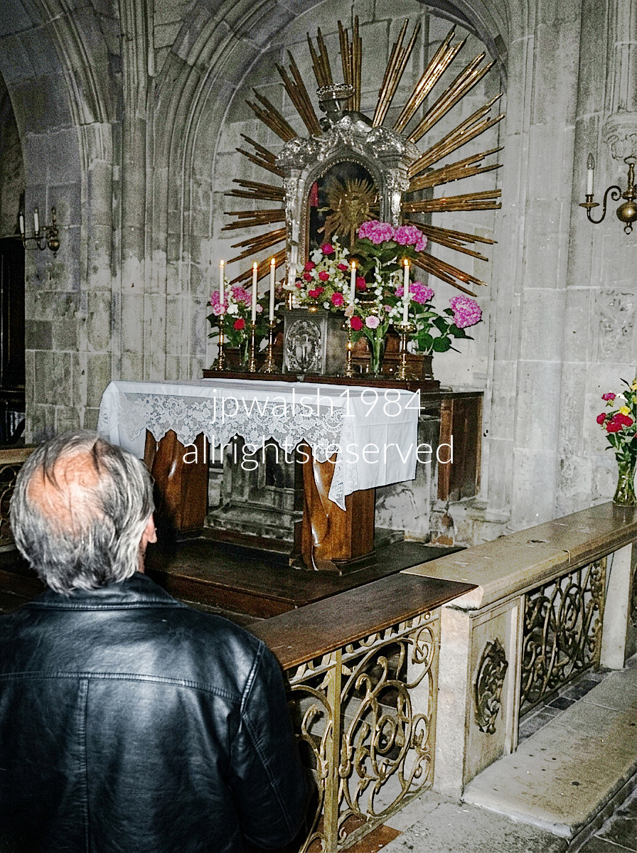
A moment of reflection inside St. Stephen’s Cathedral (Stephansdom) in Vienna, Austria. Positioned directly in front of him is the highly revered Maria Pötsch Icon Altar. This sacred Byzantine-style icon depicts the Virgin Mary pointing toward the infant Jesus. Dating back to 1676, it became legendary throughout the Habsburg Empire after it reportedly shed miraculous tears in the small town of Máriapócs, Hungary. The icon is framed within a magnificent, radiating gilded sunburst crown, beautifully accented by fresh floral arrangements and glowing white devotional tapers. The altar sits beneath a beautifully carved, late-Gothic stone baldachin (known as the Öchsel-Baldachin), highlighted by the intricate stone archways and historical balustrades typical of the cathedral’s famous architecture.
Pötsch is the Germanized spelling and pronunciation of Pócs, the village in northeastern Hungary where the icon was painted in 1676. The icon was transferred from its home village to Vienna in 1697 under the direct imperial decree of Habsburg Emperor Leopold I. On November 4, 1696, parishioners attending Mass in the small, impoverished Hungarian village of Pócs witnessed real tears flowing from the eyes of the painted icon. The weeping event reoccurred repeatedly over the following weeks. Recognizing the immense religious and psychological value of such an artifact during a time when the Habsburg Empire was locked in a brutal, high-stakes war with the Ottoman Empire, Emperor Leopold I ordered the icon to be permanently moved to the imperial capital. The was from the village church over the fierce protests of the local Hungarian population and it took months to arrive to Vienna because huge crowds gathered everywhere along the route to venerate and touch the image. It was formally installed above the high altar of St. Stephen’s Cathedral on December 1, 1697, in a massive ceremony attended by the Imperial Family.
Shortly after its arrival, imperial troops led by Prince Eugene of Savoy scored a decisive, historic victory over the invading Ottoman forces at the Battle of Zenta. Because the entire Viennese populace had been praying aggressively to the new icon for protection, the unexpected military triumph was widely attributed to the intercession of Our Lady of Pötsch, cementing its status as an official protector of the city. Curiously, while a duplicate copy was eventually sent to appease the villagers of Máriapócs — and that copy subsequently began to weep as well – this original icon housed in Vienna has never shed a single miraculous tear since the day it left Hungarian soil.

Leaning against the railing above the stairs descending to Kärntner Straße, one of Vienna’s most famous pedestrian shopping avenues, the scene glows with nighttime storefront light. Across the backdrop, classic European retail signs stack in bright neon: the red Huber Tricot emblem with its stylized female silhouette, the mark of Austria’s iconic lingerie brand; Salamander, the long‑running European shoe chain; Bally, the Swiss luxury label; and Boecker, once a major German fashion department store with a prominent Vienna presence. The mix of signage, glow, and movement captures Kärntner Straße’s blend of retail tradition and urban theater at night.
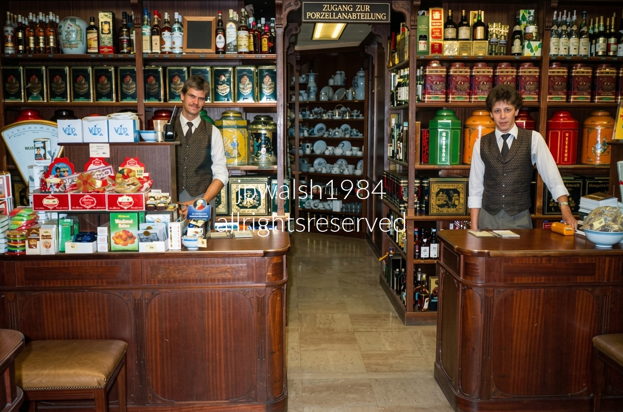
Schönbichler Teehandlung (Schönbichler Tea Shop) at Wollzeile 4, 1010 Vienna, Austria Established in 1870, it is one of Vienna’s most famous and historic specialty shops, renowned for its extensive selection of premium loose-leaf teas, spirits, and colonial wares. The German sign visible above the central passage archway reads “Zugang zur Porzellanabteilung”, which translates to “Access to the Porcelain Department,” leading customers toward their collection of fine teaware and ceramics housed in the back room.
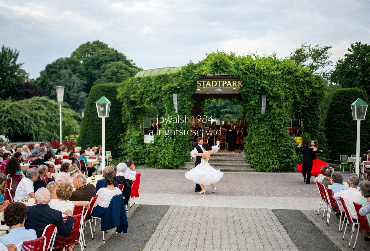
A timeless evening in Stadtpark, Vienna’s first public park, opened on August 20, 1862. The 28‑acre landscape was drafted by painter Joseph Selleny and realized by municipal gardener Rudolf Siebeck, who embraced the romantic English‑garden tradition—sweeping lawns, winding paths, weeping willows, and reflective ponds.
Stadtpark is home to the iconic gilded bronze Johann Strauss II Monument (unveiled in 1921), alongside monuments honoring Franz Schubert, Anton Bruckner, and Franz Lehár—a sculptural map of Vienna’s musical heritage.
Scattered through the park are smaller cast‑iron pavilions, including a notable one purchased from the 1851 London World Exhibition, a reminder of Vienna’s 19th‑century cosmopolitan ambitions. The ivy‑covered structure in my photograph sheltering the orchestra is one of the park’s central open‑air performance fixtures.
The park’s grandest architectural presence is the adjacent Kursalon Hübner, where I’m standing for this photograph. Built between 1865 and 1867 by Johann Garben in an opulent Italian Renaissance historicist style, the building became inseparable from Vienna’s musical identity after Johann Strauss II—the “Waltz King”—gave his first concert on these grounds on October 15, 1868, forever establishing Stadtpark and the Kursalon as the epicenter of the Viennese Waltz tradition.
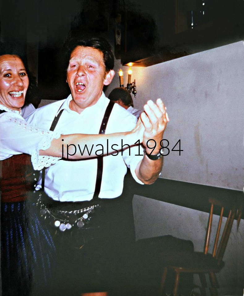

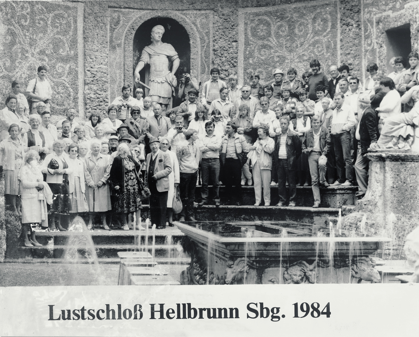
I stand at left with Dr. Len Biallas seated beside me and his wife Martha nearby.
Built between 1613–19 as the Prince‑Archbishop of Salzburg’s daytime retreat, the palace sits ten minutes by car—or under an hour on foot—from the city center.
The schloss is famed for its watergames, including this dining tableau where jets hidden in the stone seats spray unsuspecting guests.
Greek and Roman themes shape the fountains throughout the grounds, a vivid expression of the Mannerist imagination.
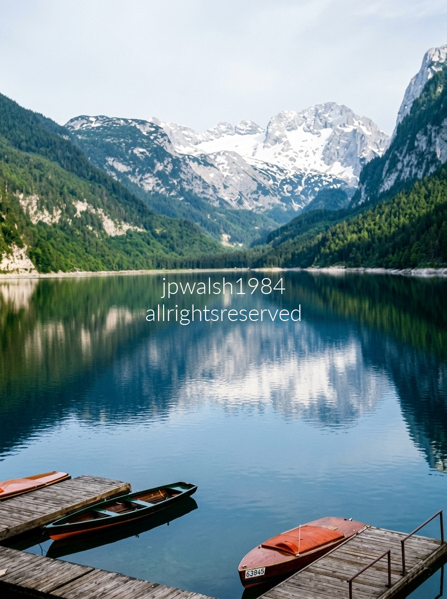
The Vorderer Gosausee and steep slopes of the Dachstein massif in the Salzkammergut region. This specific photo was shot from the wooden docks of the Gosausee Boat Rental (Bootsverleih), located at the northern tip of Vorderer Gosausee. The distinct wooden rowboats shown in the foreground—like the one tagged with license number 63845—are part of the local rental fleet used by visitors to row across the lake during the summer. The lake and the nearby town of Gosau are nestled deep within Austria’s scenic Salzkammergut region, located just a short detour off the historic routes connecting Salzburg and Graz.
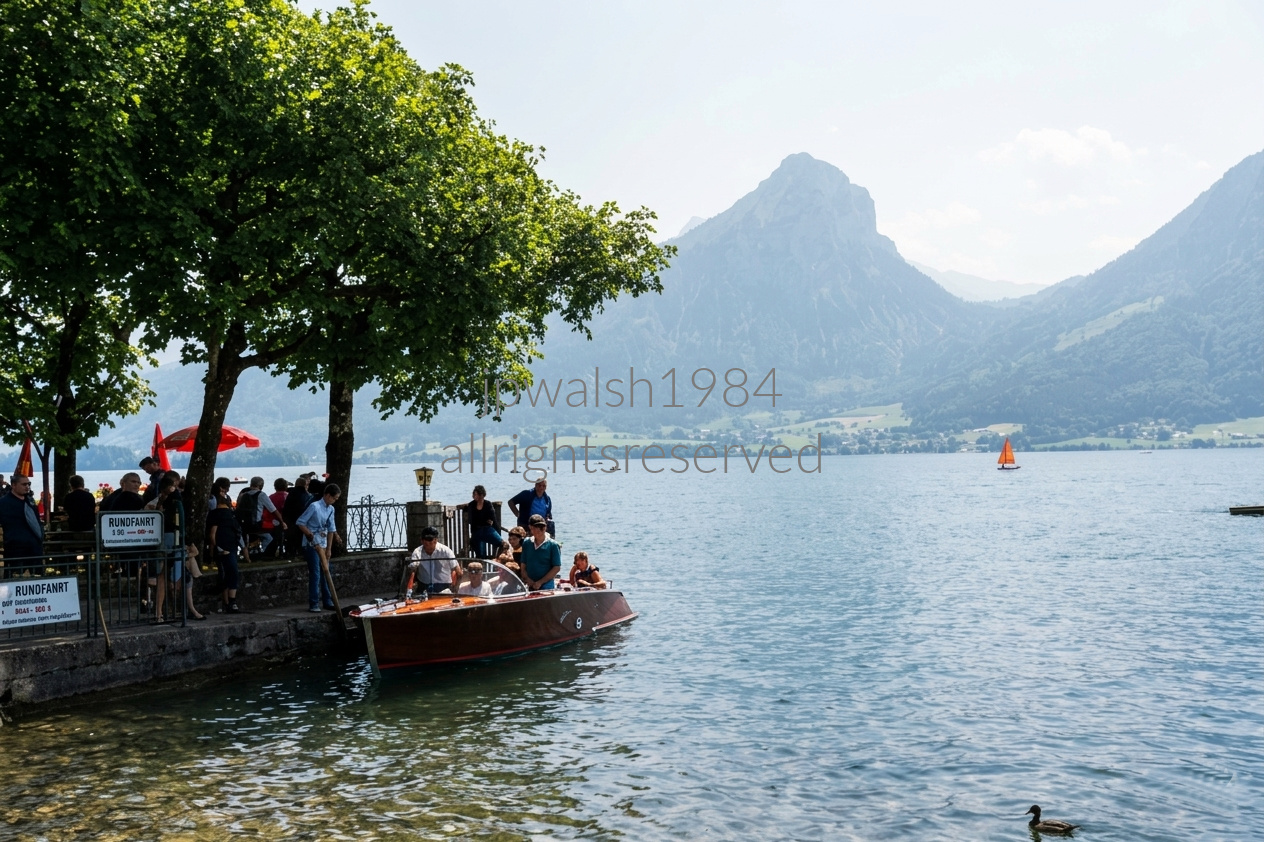
Nestled in Austria’s Salzkammergut region, the Shores of Wolfgangsee (Lake Wolfgang) reflect the grandeur of the Schafberg, a 1,783‑meter peak forming the northern edge of the Limestone Alps. Its mirror‑still waters and mountain backdrop define one of Europe’s most iconic alpine landscapes.
In the late 19th century, the lake became a centerpiece of the Sommerfrische—the summer retreat movement that drew Vienna’s elite to the mountains. When Emperor Franz Joseph I established his seasonal residence in nearby Bad Ischl, aristocrats, industrialists, and artists followed, transforming Wolfgangsee into a cultural haven.
Among those captivated were composers Johannes Brahms and Alban Berg, who found inspiration in the tranquil setting. Writers and painters joined them, turning the lakeside villages into creative enclaves that blended leisure with artistic pursuit.
The opening of the SchafbergBahn cog railway in 1893 made the summit accessible to tourists, accelerating the lake’s transformation into a bustling alpine resort. Steamboat excursions and panoramic climbs and descents became hallmarks of the Wolfgangsee experience.
By the 1930s, Wolfgangsee had evolved into an international destination, welcoming celebrities and royals—including the Duke of Windsor in 1937—who came to savor its serene waters and mountain air.

The buildings in the photograph — Le Roy d’Espagne, La Brouette, Le Sac, La Louve, Le Cornet, and Le Renard — are among the historic guild houses that define the square’s architectural ensemble.
The Grand’ Place evolved over roughly 600 years, from the 1000s to the 1600s, creating the dense mix of medieval, Renaissance, and Baroque façades seen today.
During the Nine Years’ War, French bombardment in 1695 destroyed most of the square. The guild houses were rebuilt in the 17th and 18th centuries, giving the Grand’ Place its present appearance.
Designated a UNESCO World Heritage Site in 1998, the Grand’ Place is widely regarded as one of the most beautiful urban squares in the world.

Grand-Place (Grote Markt) in Brussels, Belgium, looking along the sidewalk outside the ornate baroque guildhouses

Brussels, Belgium. The foreground showcases the meticulously manicured sunken garden beds, pathways, and fountains designed by the renowned landscape architect René Pechère during urban renewal efforts in the 1950s. Soaring in the background distance is the iconic 315‑foot Gothic spire of the Brussels Town Hall, located in the Grand‑Place.

This vantage point looks straight down the Allied‑Coalition center under the Duke of Wellington, facing south toward Napoleon’s army. The road cutting through the field is the Chaussée de Charleroi (today’s Route N5), the main axis of Napoleon’s plan to drive north, seize Brussels, and split the Allied and Prussian forces.
The white, walled farm complex beside the road is La Haye Sainte, held on June 18 by the King’s German Legion (expatriated Hanoverians). This fortified farmhouse became the immovable center of Wellington’s line, blocking the French advance up the main road for most of the day.
The east field (left) was the killing ground for Count d’Erlon’s I Corps early that afternoon. Across this slope, British heavy cavalry—including the Scots Greys—launched their legendary, chaotic counter‑charge, smashing d’Erlon’s infantry columns before overextending and being cut down in turn.
The rising west field (right) hosted Marshal Ney’s massive cavalry charges. Wellington’s infantry met them in a checkerboard of roughly 20 defensive squares, each holding 500–1,000 men. The French horsemen funneled through narrow gaps, unable to break the squares and instead becoming trapped, jumbled, and exposed to disciplined musket fire. It was like as Agincourt all over again.

The creation of the Lion’s Mound between 1820 and 1826 permanently reshaped the original 1815 battlefield. King William I of the Netherlands ordered the monument to mark the exact spot where his son, the Prince of Orange, was wounded. To build the 141‑foot conical hill, engineers with 2,000 workers moved an enormous volume of earth—roughly 300,000 to 400,000 cubic meters—an amount equal to over 40,000 standard dump truck loads packed back-to-back—by scraping and excavating the battlefield itself rather than importing soil. In doing so, they erased key contours, slopes, and defensive features that had defined Wellington’s position during the Battle of Waterloo. The alteration was so drastic that when Wellington returned in 1827, he reportedly reacted with fury, declaring, “They have altered my field of battle!”
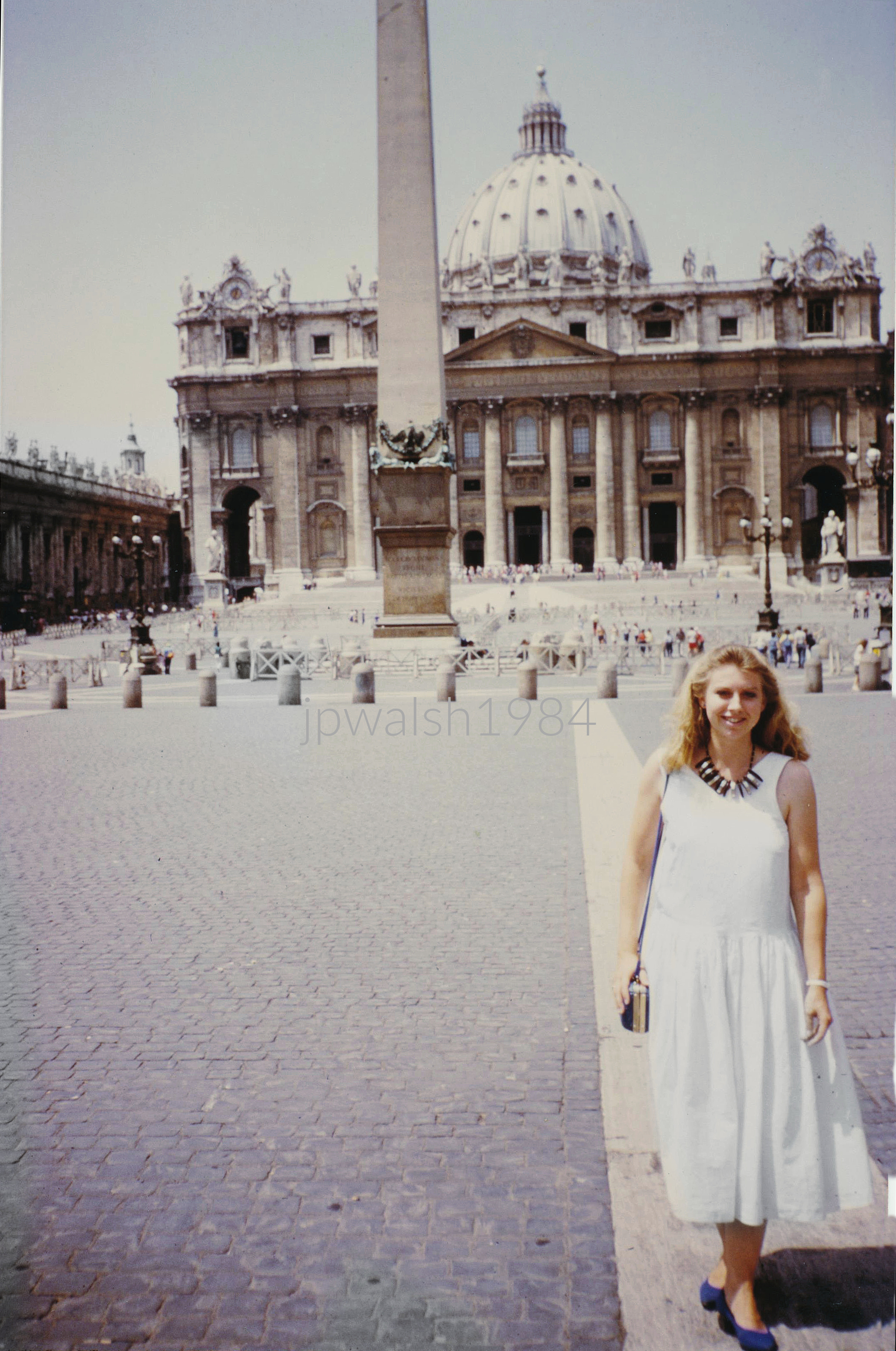
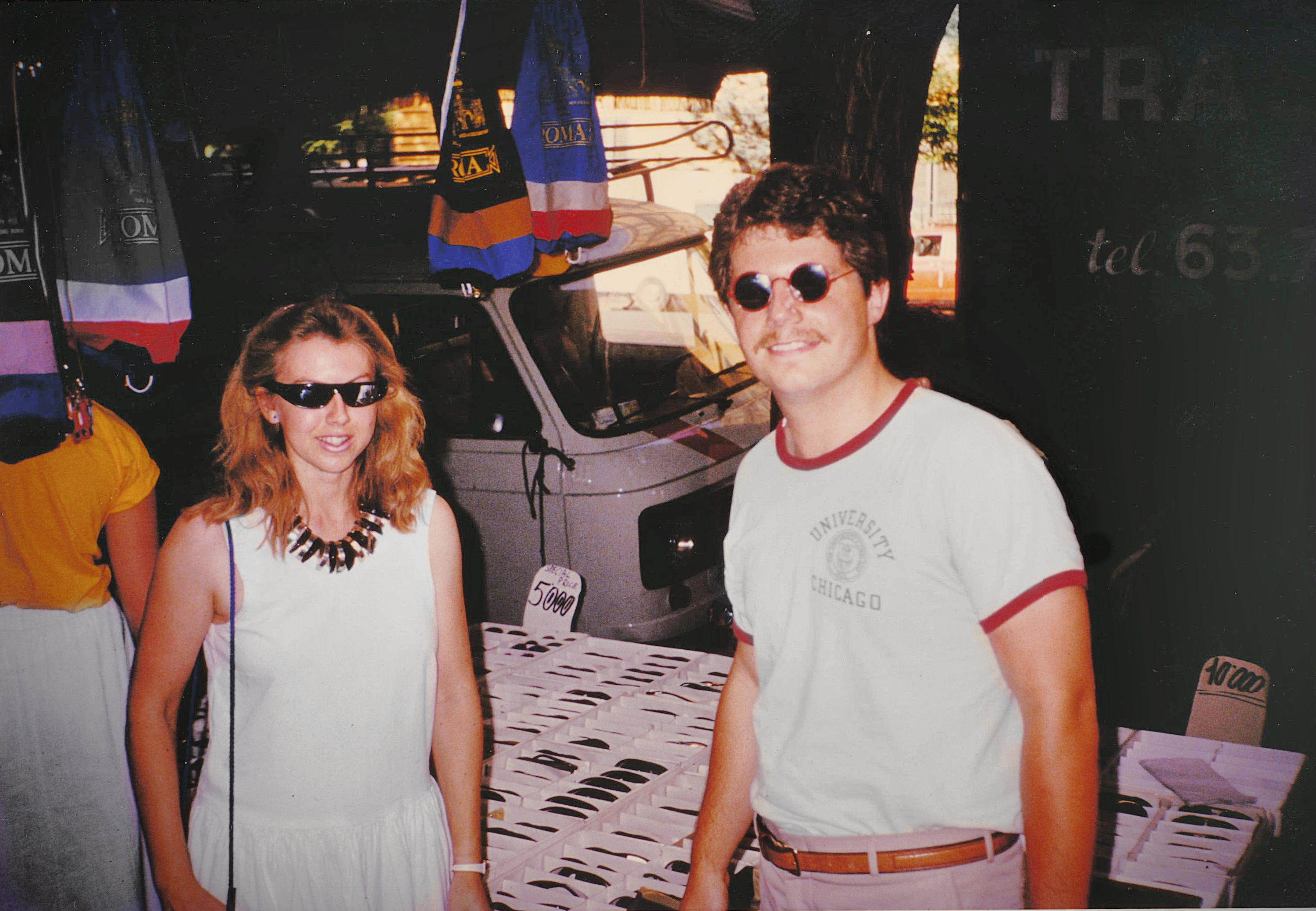

The Temple of Hadrian was begun in 121 under Emperor Hadrian (76–138) and inaugurated by him in 135. Construction was completed in 141 by Emperor Antoninus Pius (86–161).
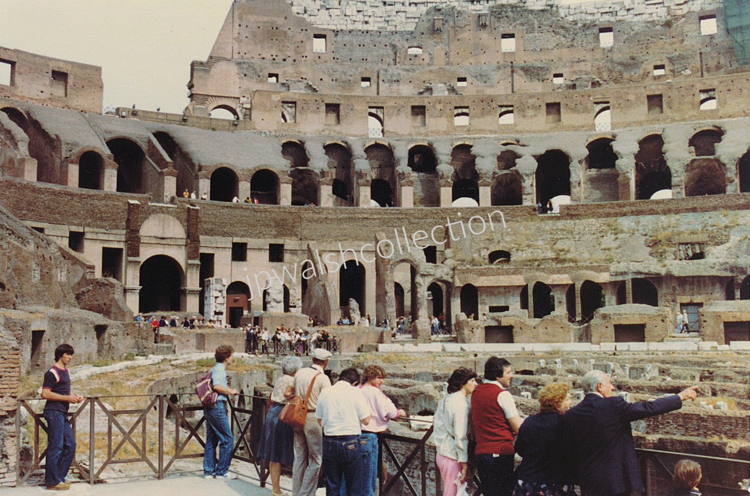
The Colosseum held between 50,000 and 85,000 spectators. Its construction began in 72 under Emperor Vespasian (9–79) and was finished in 80 A.D. under Emperor Titus (39–81).

It was a very hot day. The three distant columns are the remains of the Temple of the Dioscuri, dedicated to the mythological twins — the Gemini, sons of Jupiter (Zeus) and Leda. Their cult reached Rome from Greece by way of Sicily, where Greek culture has deep roots.
Statues from the House of the Vestals stand in the foreground.
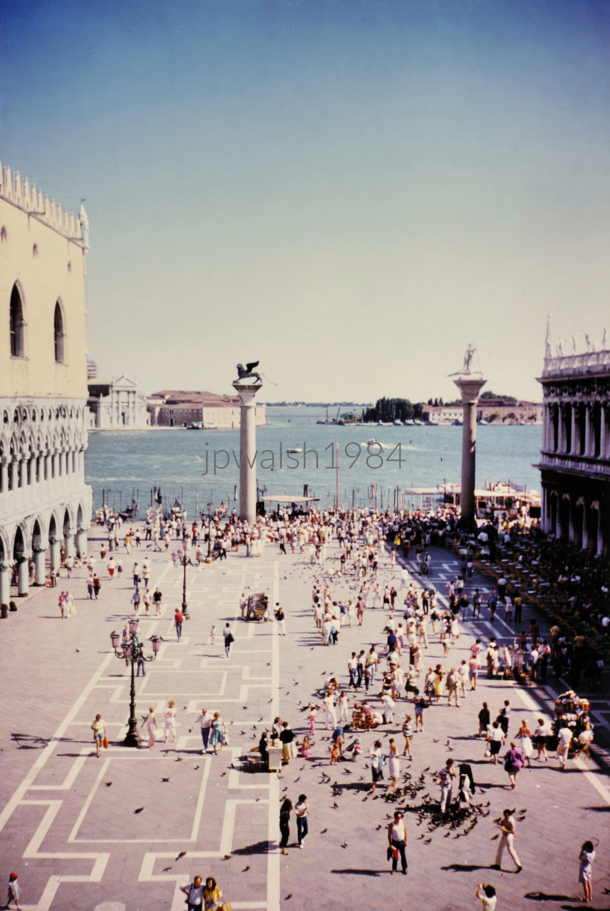
Between the Palazzo Ducale and the Biblioteca Marciana, the Piazzetta San Marco links St. Mark’s Square to the lagoon. The original pair of granite columns, erected in 1268 (these are modern copies), carry St. Theodore on one and the winged lion of St. Mark on the other.
Across the lagoon stands San Giorgio Maggiore, designed by Andrea Palladio (1508–1580) and built between 1566 and 1610.
The photograph was taken from the upper story of St. Mark’s Basilica.
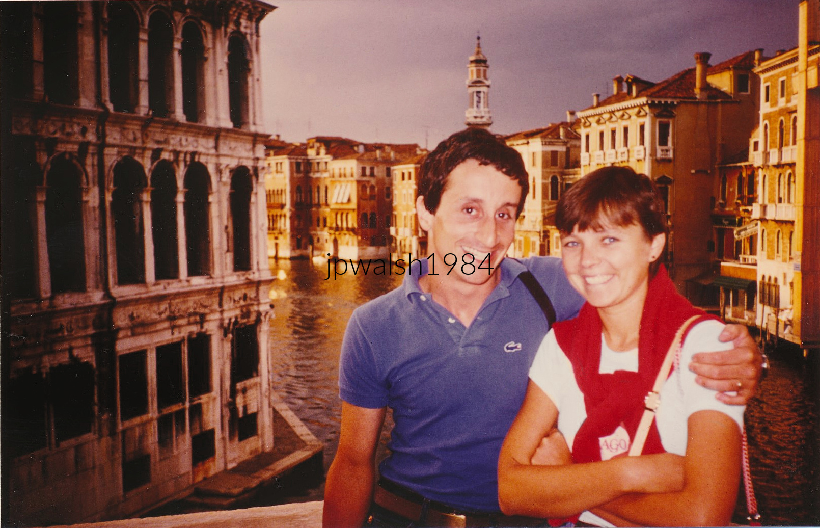
Newlyweds on the Rialto Bridge in Venice, Italy. I was photographing from the city’s oldest bridge — built 1588–1591 — when, by sheer chance, I recognized a fellow Loyola Academy teacher standing there. Phil S. was with his wife, celebrating their honeymoon.


This was one of the first places I tried to see upon arriving in Florence, but it was closed for repairs — and this vantage point was as close as I could get.
In 1429, Andrea Pazzi—whose wealth rivaled the Medici—assembled the funds to build this chapel. Its geometrical design is attributed to Filippo Brunelleschi (1377–1446), with construction beginning in 1442 and finishing in 1478.
The Pazzi Chapel, set in the cloister on the south side of the Franciscan Basilica di Santa Croce (consecrated 1443), is regarded as an early Renaissance masterpiece.

A bridge has crossed the Arno at this point since ancient Roman times. Built in 1345, the Ponte Vecchio, is the one bridge in Florence to have been spared destruction in World War II. Its collection of shops built along its edges is a design dating back to the medieval period. The three arches in the middle of the bridge reveal the stanchions of the covered walkway above, which is the bridge-length enclosed Vasari Corridor built by Giorgio Vasari in 1565. This allowed the ruling class to travel across the bridge without mingling with the public.
In 1442, the Florentine government ordered the city’s butchers and tanners to move onto the bridge. Eventually, these shop owners built the chaotic and picturesque overhanging back-rooms that jut out over the water, supported only by wooden brackets and poles. In the mid-1590s, Grand Duke Ferdinando I evicted the butchers and decreed that only goldsmiths, jewelers, and silversmiths could rent the bridge shops—establishing the luxury commercial hub that has remained unchanged to this day.
In the background, rising above the dense cityscape of Florence, is the slender, gothic bell tower (campanile) of the Badia Fiorentina, an ancient monastery church founded in the 10th century. Its distinctive hexagonal spire sits just a short distance from the Palazzo Vecchio. Further to the right, crowning the background hills, is the Renaissance dome of the San Frediano in Cestello church.
The bridge closest to the Ponte Vecchio is Ponte Santa Trinita. Renowned for its elegant Renaissance architecture, it features distinct elliptical arches originally designed by Bartolomeo Ammannati in the late 16th century with input from Michelangelo. It was meticulously reconstructed in the 1950s after being destroyed by retreating German forces during World War II.
Further down the river, Ponte alla Carraia is a five-arched stone bridge that dates to its 1340s reconstruction. Known colloquially as the “New Bridge” when it was built after the Ponte Vecchio, it connects the central city to the vibrant Oltrarno district. Like Ponte Santa Trinita, it was rebuilt following the devastation of World War II.
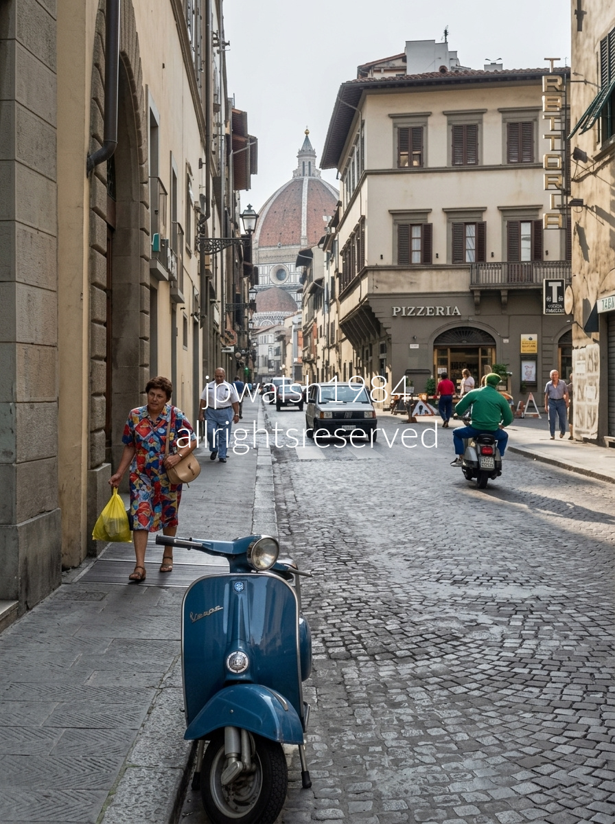
In 1250, the Servants of Mary (Servi di Maria) built a small church at the northeastern edge of Florence’s historic center, establishing the religious anchor that would shape the street’s future.
The monks deliberately cleared and planned the street as a direct, theatrical corridor linking their basilica to the Piazza del Duomo. The straight, perfectly calibrated line of Via dei Servi pioneered early Renaissance ideas of structural harmony and urban design.
This alignment allowed pilgrims, citizens, and religious processions to move seamlessly between the two sacred sites, turning the street into a daily stage of civic and devotional movement.
In 1419, Filippo Brunelleschi used the geometry of Via dei Servi to anchor his design for the Ospedale degli Innocenti, introducing classical columns and arches to create a monumental civic square at the street’s north end.
Donatello kept his workshop on this same street, adding another layer of artistic gravity to one of Florence’s most influential Renaissance corridors. see – Piazza Santissima Annuziata: architects, innocents, experience – ArtTrav and Via dei Servi – a street to truly experience – Florenceitaly




Looking south through the Arco de Toledo (1790), Juan de Villanueva’s neoclassical gateway frames the long merchant artery of Calle de Toledo as it leaves the southwestern corner of Plaza Mayor. In the distance, the Colegiata de San Isidro rises with its twin 17th‑century baroque bell towers, anchoring the vista with a burst of vertical grandeur.

Calle de la Luna (Moon Street), located in the vibrant Malasaña (specifically Universidad) neighborhood of Madrid, Spain. The shot looks down the narrow and noisy street toward the intersection with Corredera Baja de San Pablo.


View from the battlements of the Alcázar of the Christian Monarchs in Córdoba, Spain, overlooking the densely vegetated banks of the Guadalquivir River as it winds through the heart of the city and across Andalusia before reaching the Atlantic near Seville. The vantage point overlooks the Roman Bridge of Córdoba — Puente Romano — whose origins date to the 1st century BCE, built under Emperor Augustus when Córdoba was a major Roman colony, making the span roughly 2,000 years old.

Siesta at Instalaciones Deportivas Cajasur in Córdoba, Andalusia, where a quiet afternoon settles over the neighborhood sports grounds. The left‑side banner identifies Cajasur, the long‑standing regional bank that built, sponsored, and managed these community athletic facilities across the province. In the background, the distinct block of peach‑colored apartment buildings — a familiar landmark of the Fuensanta district — stretches across the scene, framing the complex with its signature neighborhood architecture.

Playa de las Arenas blends seamlessly into Playa de la Malvarrosa.

The Hospital de Santa Cruz—a 16th‑century charitable hospital and orphanage now home to the Museo de Santa Cruz—stands behind one of Spain’s earliest and most influential Plateresque portals. Designed by Alonso de Covarrubias, the stone façade blends late Gothic intricacy with emerging Renaissance clarity. Above the doorway, a vivid relief shows St. Helen discovering the True Cross, with Cardinal Pedro González de Mendoza kneeling at left, honoring the patron who envisioned the institution. Master builder Enrique Egas laid out the structure in the form of a cross, and its interiors still boast serene courtyards, a monumental Renaissance staircase, and superb Mudéjar and Renaissance coffered ceilings. It opened as the Museo de Santa Cruz in 1961.
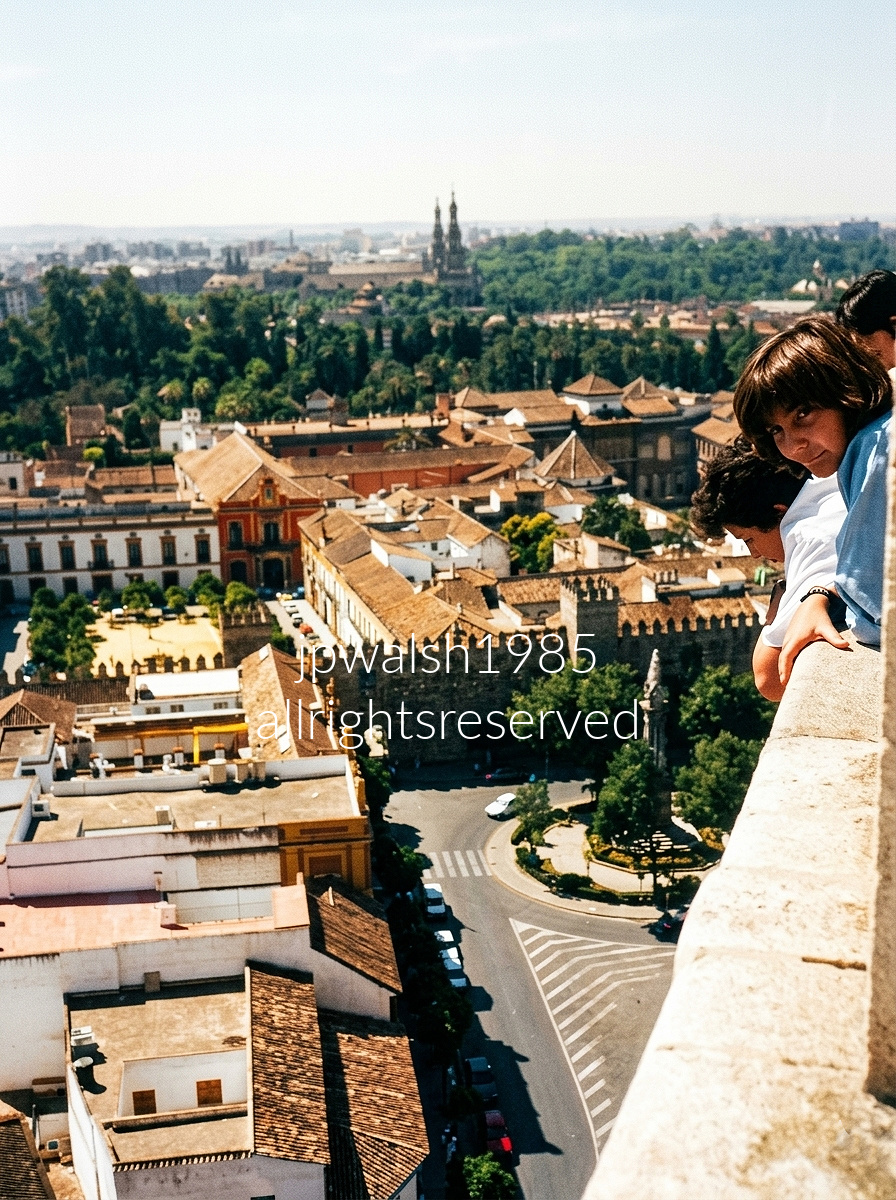
Aerial view looking southeast from the upper belfry of La Giralda, the famed bell tower of the Seville Cathedral in Seville, Andalusia. Immediately below the ledge lies Plaza de la Virgen de los Reyes, its cobblestones opening around the historic fountain and ornate lamp post of the Fuente de la Plaza de la Virgen de los Reyes. To the left stands the Palacio Arzobispal, identifiable by its reddish‑orange and yellow baroque façade. Cutting across the center of the photograph, the fortified battlements, castellated walls, and broad tiled roofs form the northern defensive perimeter of the Real Alcázar of Seville. In the distance, the prominent twin towers are the North and South Towers of the Plaza de España, framing the vast semi‑circular brick palace complex built for the 1929 Ibero‑American Exposition.
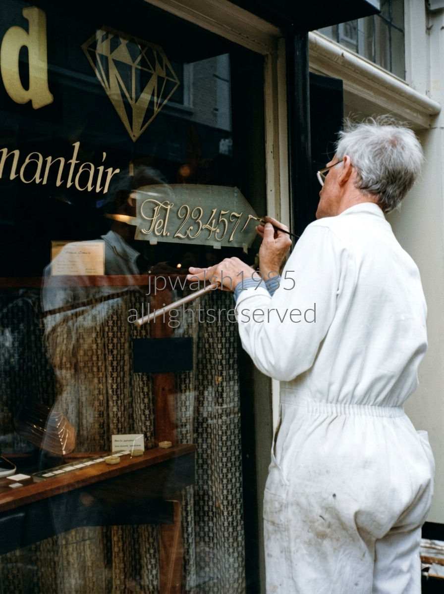
Oudewater in the Netherlands is a small and remarkably preserved historic city in the Utrecht province founded in 1265 and known worldwide for its singular role in the history of the European witch trials. During the waves of witchcraft hysteria in the 16th and 17th centuries, people traveled from across Europe to be weighed here. As witches in order to fly were believed to be weightless, a normal body weight proved innocence. Emperor Charles V granted Oudewater the exclusive right to issue legally binding certificates of a “natural body weight” and because the Dutch city refused to manipulate its scales, no one weighed at the Heksenwaag was ever condemned—making it a rare safe haven. The scales still operate today as a museum. The city center remains defined by classic Dutch canal rings, humpback stone bridges, and Renaissance‑style stepped‑gable brick houses, its 17th‑century street plan exceptionally intact thanks to its escape from wartime destruction.

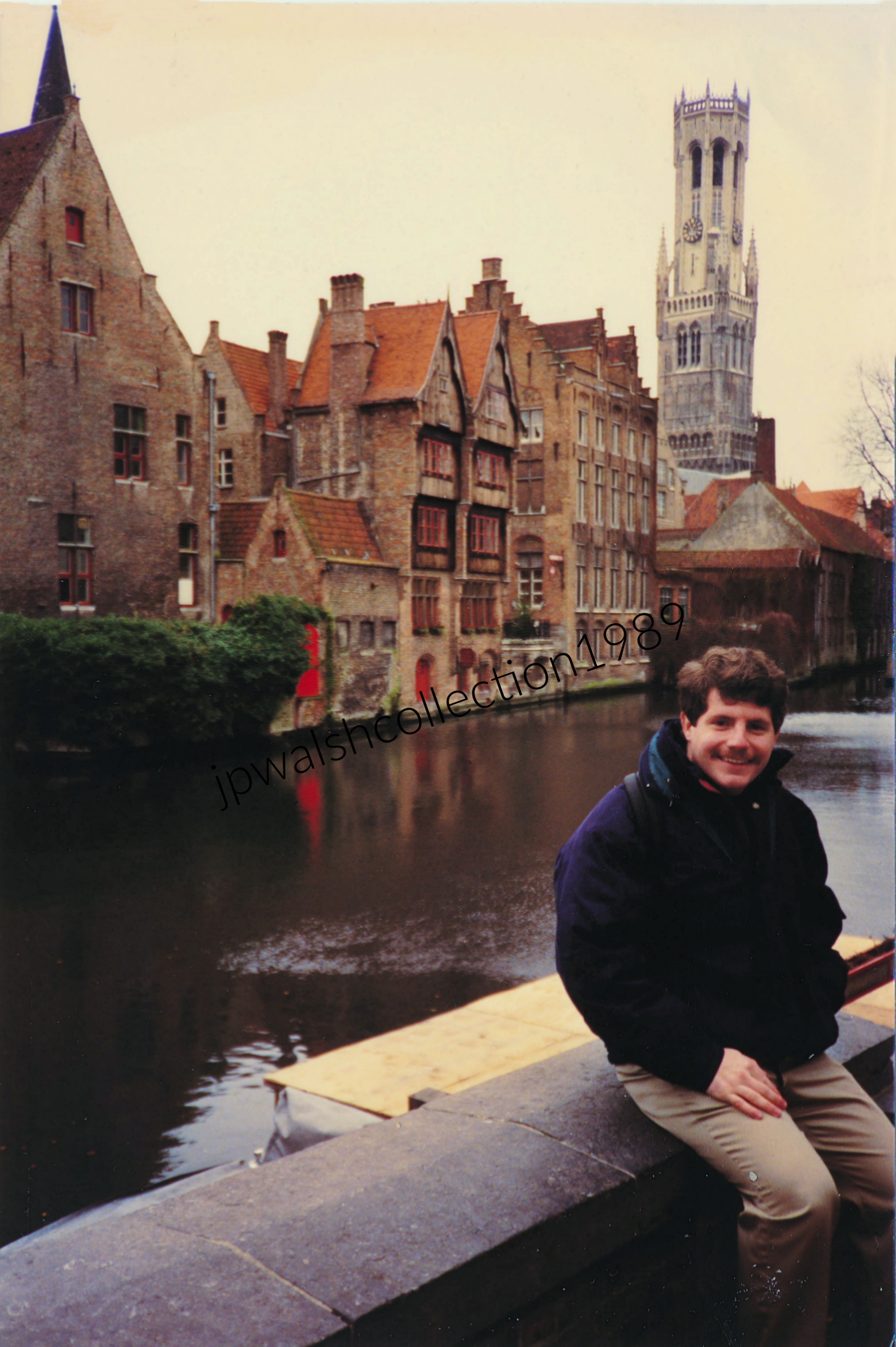
The 272‑foot‑tall Belfort, dating to the 13th century, is one of Europe’s earliest surviving works of medieval urban public architecture.
Its tallest octagonal upper stage was added in the 1480s, and in the 16th century the tower received its carillon, completing the profile that dominates Bruges today.
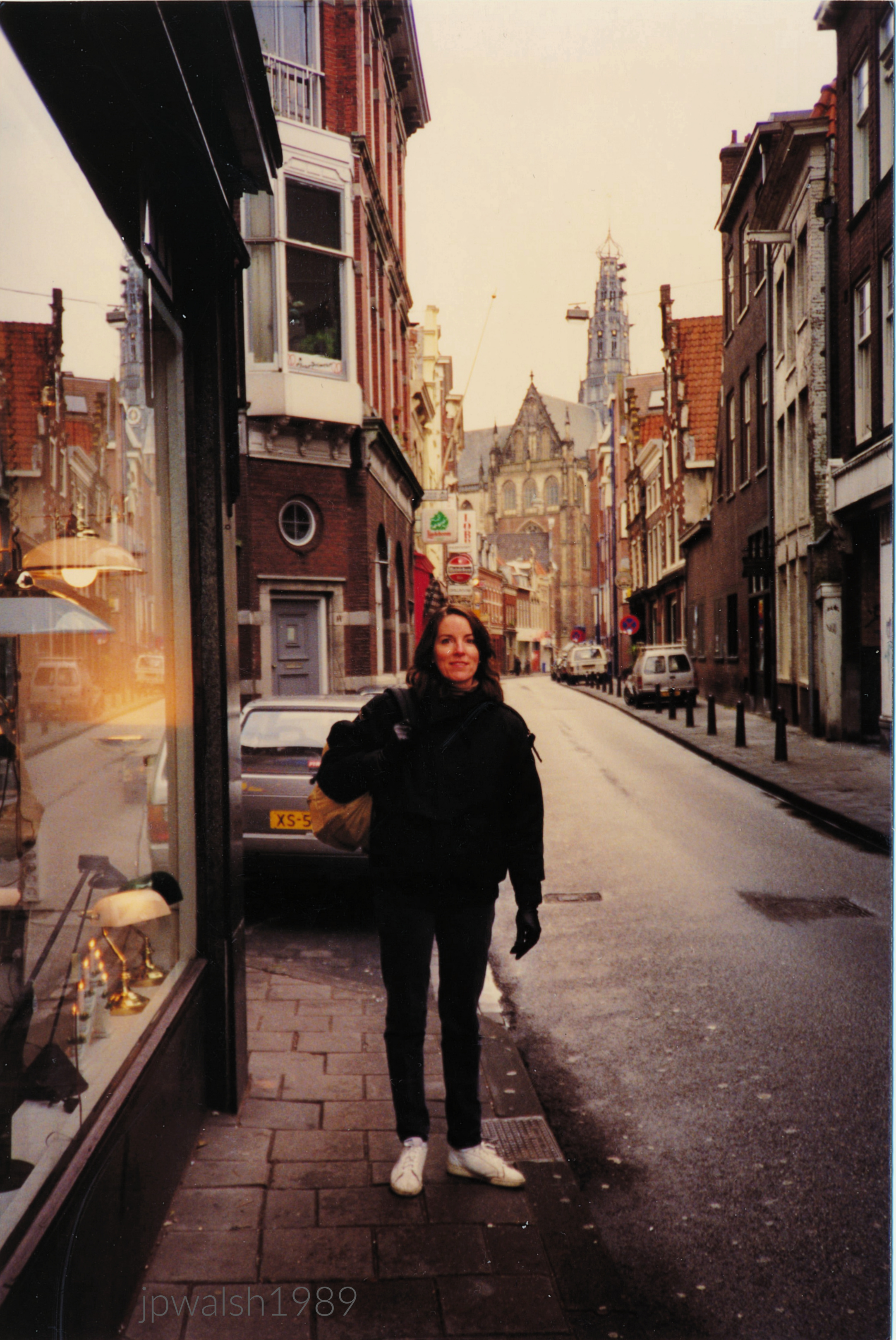
Smedestraat. In the background is the Grote Kerk or Sint-Bavokerk completed in 1520.

Corner of the Herengracht canal at Beulingstraat street. Behind these buildings built between 1614 and 1680 is the spires of the Neo-Gothic building (1881) of De Krijtberg church.

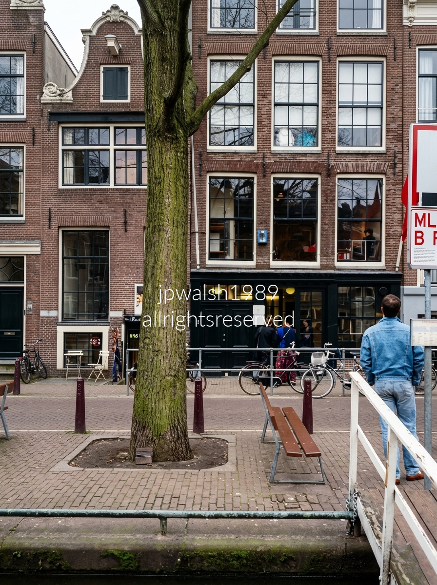
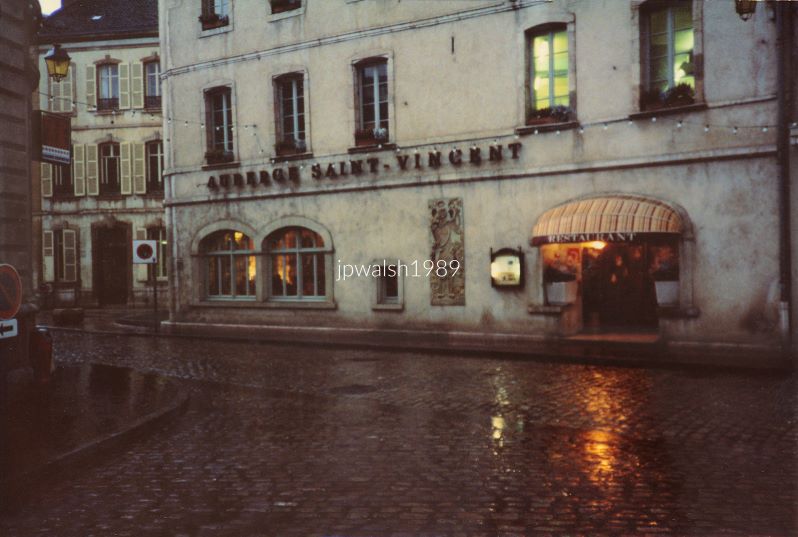
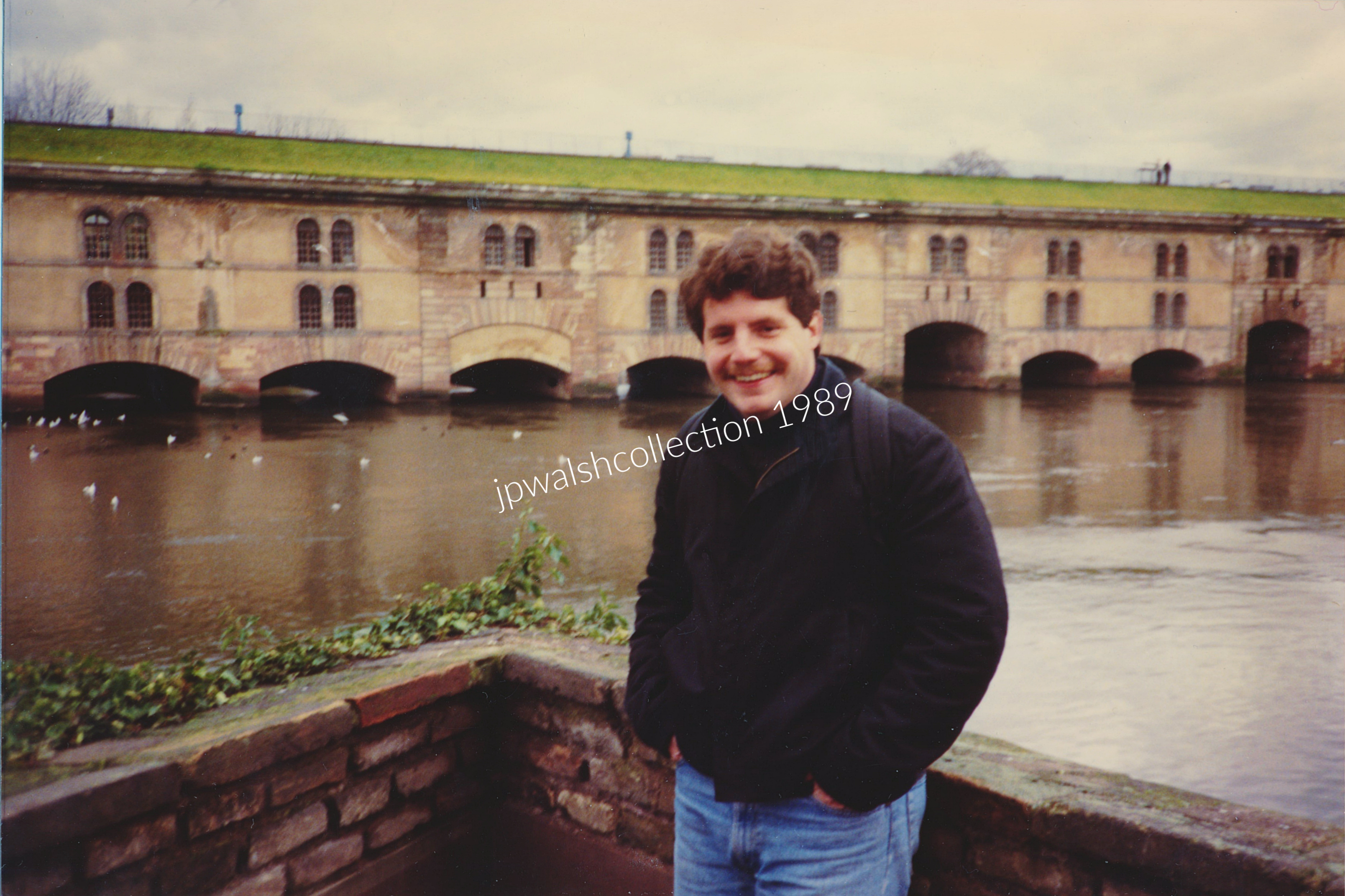
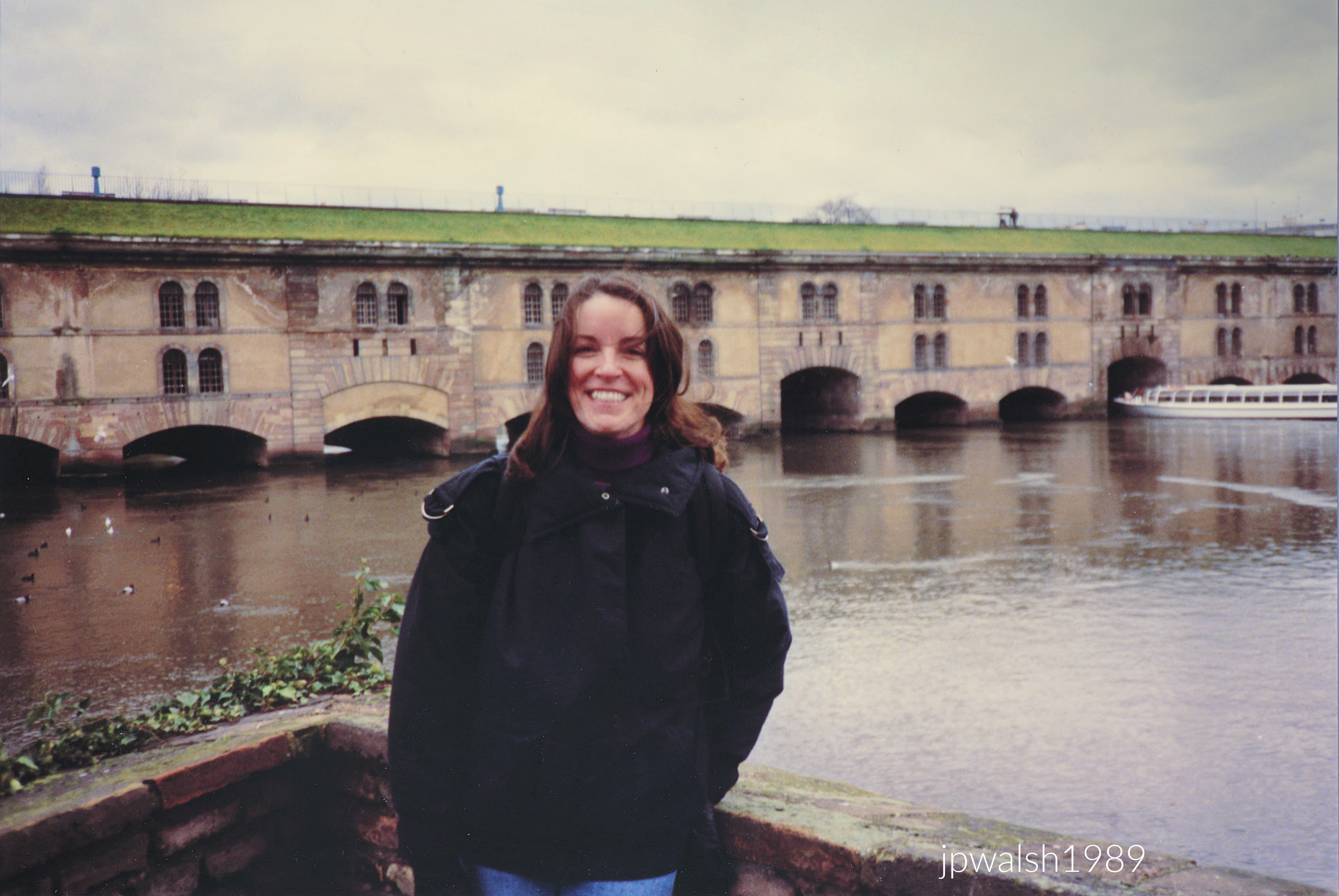
The barrage, built of pink Vosges sandstone, stretches 390 feet and rests on 13 arches. It was constructed between 1686 and 1690 by French engineer Jacques de Tirade (1646–1720), following plans drawn by his colleague, the military engineer Vauban (1633–1707).
The structure’s primary function was defensive. In wartime, it acted as a lock, raising the river’s water level so that land outside Strasbourg would flood, rendering approaches to the city impassable to enemy forces.
This tactic was employed again during the Franco‑Prussian War in 1870, demonstrating the barrage’s continued strategic value long after its 17th‑century construction.
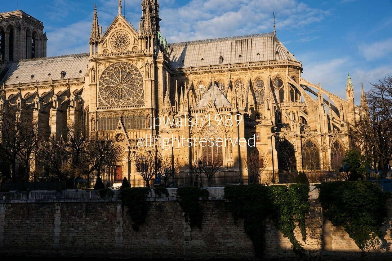

The lower porch and nave framework retain their heavy, rounded 12th‑century Romanesque form. The carved stone spire and upper gable were added in the 16th century, giving the church its hybrid profile.
For centuries, Saint‑Philibert served Dijon’s winemakers; the annual grape harvest was formally proclaimed from its porch.
The French Revolution ended 500 years of worship, transferring the building to civic control. Across two centuries, the structure functioned as a military stable, a saltpeter workshop, and later a municipal salt storehouse. The church has remained closed since 1979.
Archaeological excavations revealed a 6th‑century Merovingian burial ground beneath the site.
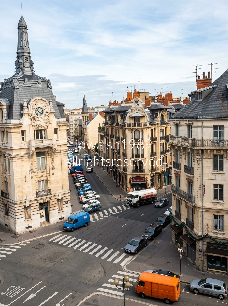
On the left stands the Louis XIII‑style Hôtel des Postes de Dijon, the city’s grand 1909 post‑office building that anchors Place Grangier with its sculpted stonework and formal symmetry.
Straight down the street rises the steeple of Notre‑Dame de Dijon, begun in the early 13th century and celebrated as a masterpiece of High Gothic architecture. In an expanding quarter of local merchants and craftsmen, it replaced a smaller 12th‑century Romanesque chapel.
Because the church had to fit within a cramped medieval market district, its unknown architect couldn’t rely on sweeping flying buttresses. Instead, they devised a structural system that channels the weight of the massive stone roof onto heavy interior pillars, maximizing floor space and giving the western façade its distinctive rectangular form lined with 51 sculpted gargoyles.
Visitors come for the Gothic stonework and 13th‑century stained glass, but also for two beloved local icons: the 11th‑century Black Madonna (Notre‑Dame de Bon‑Espoir) and la Chouette, the carved stone owl on the north exterior wall, rubbed for good luck by generations of Dijonnais.


A fruit and vegetable market on Aachen’s Katschhof square in March 1992 took place on the eve of Ash Wednesday.
The Katschhof sits between Aachen Cathedral and the town hall and becomes a public stage for festivals, markets, and civic events.
In Charlemagne’s era, the square formed the link between his palace hall and St. Mary’s Church, the site that contains his throne and his tomb.

Aachen Cathedral (Aachener Dom, or Kaiserdom) presents a layered architectural timeline. Under the domed roof at the left, the Palatine Chapel (Pfalzkapelle) stands as Charlemagne’s great imperial project, built around 796–805 AD. Its octagonal core, marble revetments, and heavy Roman‑inspired geometry anchor the entire complex.
Rising around it are the Gothic additions of the Middle Ages—lofty choir, traceried windows, and towers that stretch the cathedral upward into the vertical language of high medieval architecture. Together, the Carolingian nucleus and the later Gothic envelope form one of Europe’s most unusual and historically charged sacred ensembles.
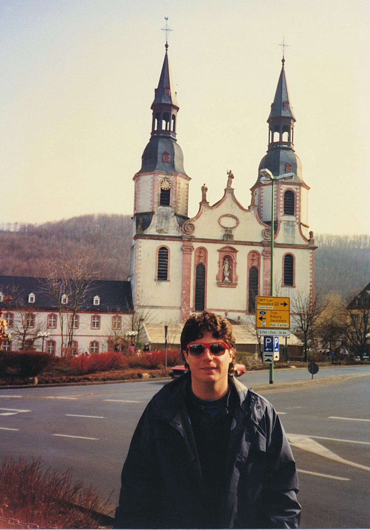
This was the site of Prüm Abbey, a Benedictine foundation established in the 8th century. Behind me stands the Sankt‑Salvator‑Basilika, completed in 1721. The surviving monastery buildings beside it now serve as a high school.
Mentioned by Pepin (714–768) in a 762 deed, the church preserves the relic of the sandals of Jesus Christ, a gift Pepin received from the pope. Over the following centuries, the monastery grew wealthy, though not without reversals. Its abbot held the rank of prince of the Holy Roman Empire, ruling dozens of towns, villages, and hamlets — a status that drew increasing attention from secular powers eager to control it.
Despite internal disputes and external pressure — even from the pope — Prüm’s more than 50 abbots refused to submit to outside authority until the late 16th century. Afterward, the abbey came under the archbishops‑electors of Trier, entering another period of prosperity that lasted until the French Revolution.
In 1794, French troops occupied Prüm and annexed it to France. Soon after, Napoleon Bonaparte dissolved the monastery and sold its assets. During the 19th century, Prüm became part of modern Germany within Rhineland‑Palatinate. In World War II, most of the town was destroyed by bombing and ground combat.
In 2014, scientists announced that decades of study on the tomb’s bones and fragments suggested that, if they are Charlemagne’s, the 66‑year‑old emperor was tall and slender. See- https://www.archaeology.org/news/1782-140131-charlemagne-bones-sarcophagus – retrieved October 6, 2023.
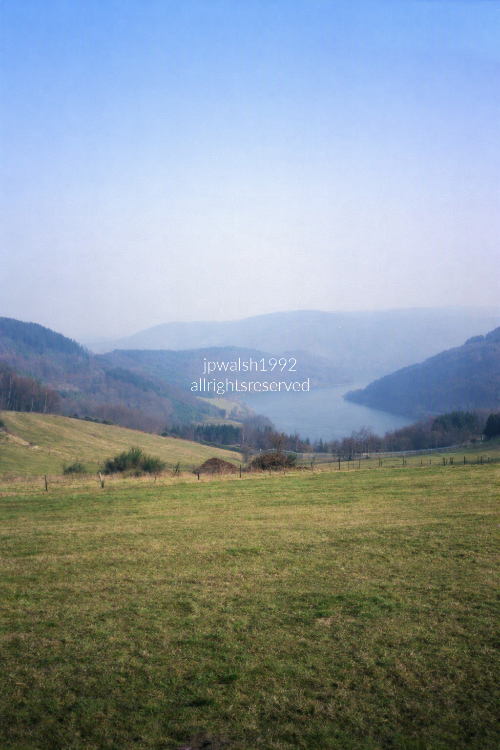
An elevated vantage over the Rur Reservoir (Rurtalsperre) in western Germany reveals one of the country’s largest artificial lakes, created by damming the Rur River. This view faces the curving Schammenauel section of the water, seen from the hills above Heimbach or nearby Simmerath in North Rhine‑Westphalia.
Along the shoreline, the densely forested slopes mark the core protected zones of Eifel National Park—a landscape of broad deciduous woods, rolling uplands, and long panoramic trails that sweep across the highlands near the Belgian border.
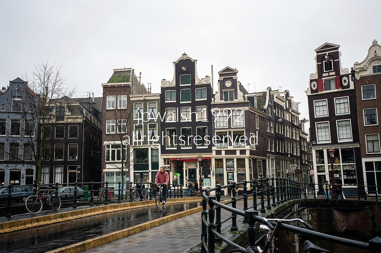
The photograph is taken from the stone bridge crossing the Singel canal, looking directly down the mouth of the narrow Wijde Heisteeg alleyway. This historic vantage point sits right on the edge of Amsterdam’s famous Negen Straatjes (Nine Streets) shopping district.
The central, dark-toned building dominating the frame is Singel 390, historically christened “De Bouwkonst.” Designed and constructed in 1699 by famed architect Anthonie Turck, this property serves as a stellar example of late 17th-century Dutch Baroque architecture. Rather than a typical curved silhouette, it boasts a grand, elevated straight-top neck gable flanked by sandstone scrollwork ornaments, completed by a rich, ornate door frame at the street level.
The surrounding buildings showcase a textbook evolution of the canal belt. To the right of the alley, the property on the corner features a narrower, flowing bell-shaped gable (klokgevel), which sits immediately adjacent to a functional, triangular spout gable (tuitgevel) historically associated with regional merchant warehouses. On the right bank of the intersecting waterway stands a grand, taller block of 18th-century townhomes detailed with multi-pane windows and decorative crown moldings. Like many waterfront structures throughout the canal ring, these residences incorporate a subtle, deliberate forward tilt, allowing heavy goods to be hoisted safely via upper pulley hooks without colliding into the brickwork facade
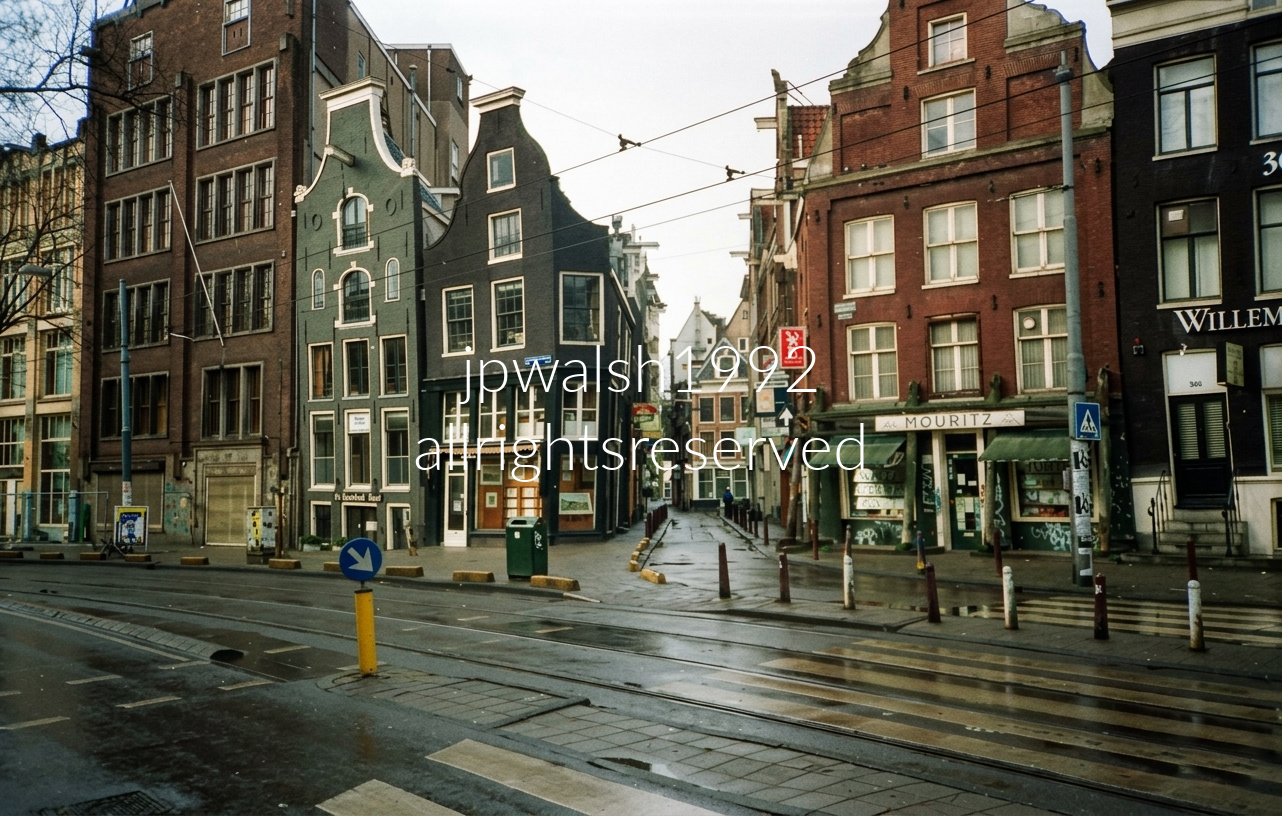
This photograph captures the historic intersection of Nieuwezijds Voorburgwal 300-306 in the heart of Amsterdam, looking directly into the mouth of the narrow Rosmarijnsteeg alleyway. The photograph showcases a stunning row of classic Dutch gabled facades. On the left corner stands the iconic tilted house at Nieuwezijds Voorburgwal 304, featuring a deep 17th-century timber skeleton. Sinking into the soft, swampy soil of the city’s reclaimed land, it displays a severe, classic forward and sideways lean. Directly beside it rests Nieuwezijds Voorburgwal 300, a beautifully slim, green-painted facade constructed around 1750 that features elegant white decorative trim and a distinctively raised circular cornice mold. Flanking the right side of the alley is the stately red-brick block at Nieuwezijds Voorburgwal 304-306, historically known for the Mouritz storefront. This complex is formed by an older 17th-century corner parcel and a larger 18th-century structure built partly as a cargo warehouse, both later crowned with elegant 19th-century bell gables.

Founded around 1240, Oude Kerk is Delft’s oldest parish, and inside lies the family crypt of Johannes Vermeer, the city’s most famous painter, who lived and died within these same narrow blocks. The tower’s tilt is no romantic accident: when builders began the massive structure in 1325, there wasn’t enough room, so they filled in part of the Oude Delft canal to create a foundation. The ground immediately gave way and the tower drifted off‑plumb.
Rather than abandon the project, the masons tried to correct the lean mid‑construction. As they built upward, they subtly pulled the upper courses back toward vertical, leaving the tower with its distinctive, almost imperceptible kink in the top half — a medieval engineering compromise still legible in stone.
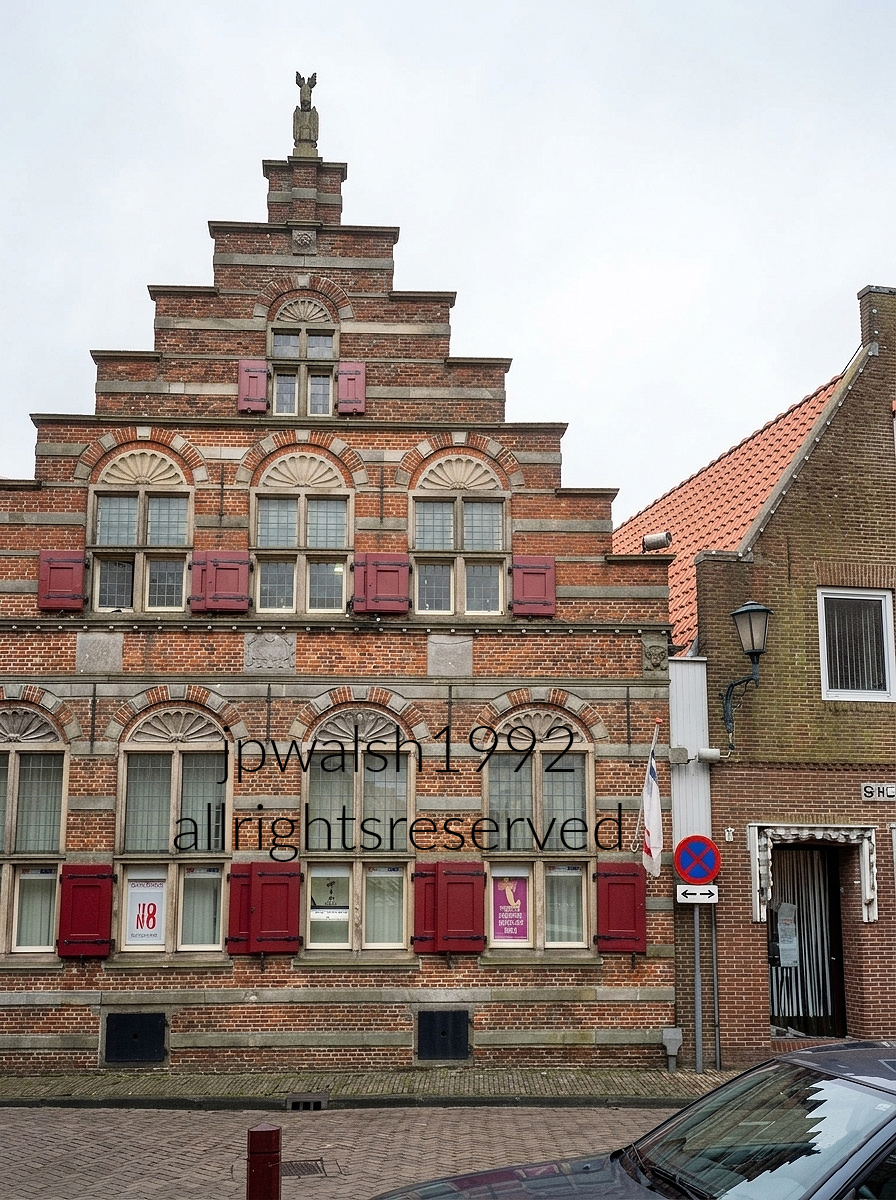
The early‑17th‑century structure, built around 1613, is one of Delft’s clearest examples of the Dutch Renaissance: a compact façade pushed forward by its stepped gable, striped with alternating brick and pale stone speklagen, and trimmed with carved semicircular scallop‑shell reliefs above each window. Deep dark‑red wooden shutters punctuate the masonry, giving the front elevation its sharp, disciplined rhythm.
Historically, the building housed the elite Franse School, where children of local nobility and merchant families studied French, mathematics, and refined social training meant to prepare them for trade and governance.
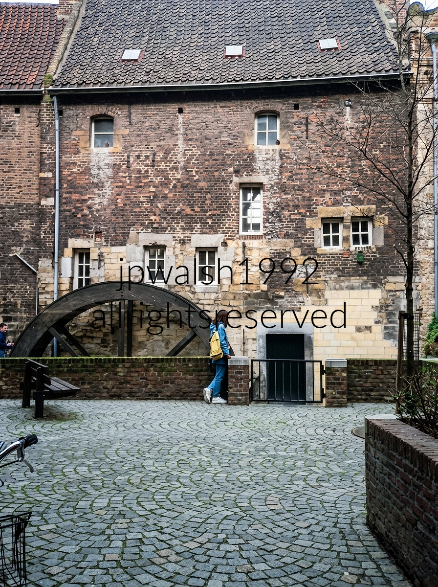
The Bisschopsmolen (The Bishop’s Mill), located in the heart of Maastricht, Netherlands. whose large wooden mill wheel is powered by the Jeker River. It holds the distinction of being the oldest still-functioning watermill in the Netherlands, with original historical roots dating back as far as the 7th to 11th centuries.

These late‑12th‑century houses (c. 1175–1200) in Tournai are among the oldest surviving private Romanesque burgess dwellings in Western Europe, built entirely of thick local blue limestone.
Their round‑arched windows, divided by slender stone colonnettes, and their heavy masonry walls make them rare, intact examples of Romanesque domestic construction rather than ecclesiastical work.
Despite severe bombing of Tournai by German forces in 1940 and Allied forces in 1944, this row endured largely because, in addition to pure luck, its massive stone construction resisted destruction far better than the timber‑framed buildings around it.

Vieux Marché aux Poteries street looking toward the towering Belfry of Tournai (Beffroi de Tournai) in Tournai, Belgium. The freestanding medieval bell tower stands 72 meters tall and holds the title of the oldest belfry in Belgium, dating back to 1188. At left is the dark, large stone Notre-Dame Cathedral (Cathédrale Notre-Dame de Tournai).

On Tournai’s Grand‑Place, the prominent stone landmark crowned with a red pyramidal roof and corner turrets is the Church of Saint Quentin, an exceptional example of Gallo‑Romanesque architecture whose origins reach back to the 12th century.
Just to the right of the church entrance stands the Statue of Christine de Lalaing, a 19th‑century bronze honoring the Princess of Espinoy, celebrated for her fierce defense of Tournai during the 1581 siege by Spanish forces.
In the far distance, peeking above the rooftops to the left, rises the top of the Belfry of Tournai—recognized as the oldest civic belfry in Belgium and a defining vertical marker of the city’s medieval skyline.

Situated along the old road to Lille, the church’s Romanesque chevet was built in 1153. The structure was enlarged in the 1690s, but its medieval profile remains intact.
Built of rubble stone and roofed with tiles set on stone corbels, the chapel has retained its original appearance and continues to serve as an active parish.
The building stands as the last witness to the large medieval Bonne Maison du Val leper colony, once dependent on the Tournai magistrate and cathedral chapter, and destroyed under Louis XIV.
The small west‑front portal, with its harped jambs and basket‑handle arch, is topped by a niche of matching form. The nave roof is crowned by a square bell tower with a pyramidal cap.
The sanctuary was officially classified as a historic monument in 1936, securing its preservation.

This photograph captures Ghent’s famous “Three Towers” aligned along a single architectural axis—one of the city’s most iconic sightlines.
Saint Nicholas’ Church (Sint‑Niklaaskerk) dominates the right side of the frame, its massive Scheldt Gothic stonework rising above the street in broad, muscular tiers.
Further down the road, perfectly centered, stands the Belfry of Ghent, its slender silhouette crowned with the golden dragon weather vane that has watched over the city since the Middle Ages.
In the far distance, closing the perspective, is Saint Bavo’s Cathedral (Sint‑Baafskathedraal), identifiable by its flatter, square‑topped tower anchoring the end of the axis.
This classic viewpoint is taken from Sint‑Michielsbrug (St. Michael’s Bridge), built ahead of Ghent’s 1913 World’s Fair. It remains the only place in the city where all three historic towers align in a perfect straight line.

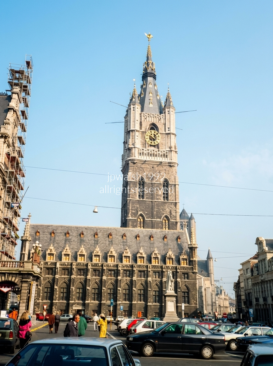
The Belfry of Ghent rises from its lower rectangular base, directly connected to the Cloth Hall (Lakenhalle) — a 15th‑century structure that once served as headquarters for the city’s prosperous textile guilds.
To the left, behind the scaffolding, stands the Ghent City Hall (Stadhuis), constructed between 1519 and 1618, its façade blending earlier Flamboyant Gothic ornament with the later restraint of Renaissance design.
Peeking out just beyond the right flank of the Belfry is Sint‑Niklaaskerk, a Scheldt Gothic church begun in the early 13th century, its stonework tinted by the river’s blue‑gray hues and its towers helping dominate the city’s historic center skyline.

Looking out across a sea of historic orange-tiled gabled rooftops, the cityscape of Ghent, Belgium is dominated by the twin Romanesque towers and central pointed spire of Sint-Jacobskerk (St. James’ Church), founded in 1093. Visible in the lower-left foreground are portions of the imposing Gravensteen (Castle of the Counts), the medieval fortress built in 1180 that remains one of Ghent’s most iconic landmarks.
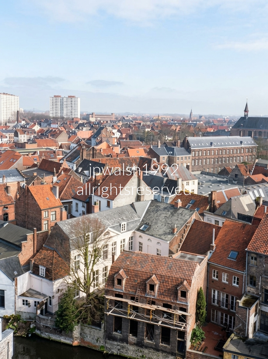
Panoramic view of Ghent, Belgium, looking northeast across the historic Patershol and Gravensteen districts. Dominating the upper right is the Grote Vleeshuis (Great Butchers’ Hall), a landmark market building dating to the early 15th century, while the small spire at far right is the ridge turret of the Sint-Veerleplein fish market complex. The canal at lower left traces part of the medieval water network that once protected the Gravensteen. In the background, the white high-rise apartment towers of the Watersportbaan development rise above the historic skyline. Viewed from atop the castle walls, the relationship between fortress and city becomes strikingly clear: homes and streets follow the edges of former defensive waterways, revealing how the medieval neighborhood grew directly from the castle’s original layout. The dense cluster of red-tiled roofs below forms Patershol, a remarkably preserved quarter that evolved from a medieval religious enclave to an affluent residential district, later declined into a 19th-century industrial neighborhood, and today stands as one of Ghent’s most vibrant culinary and cultural centers.
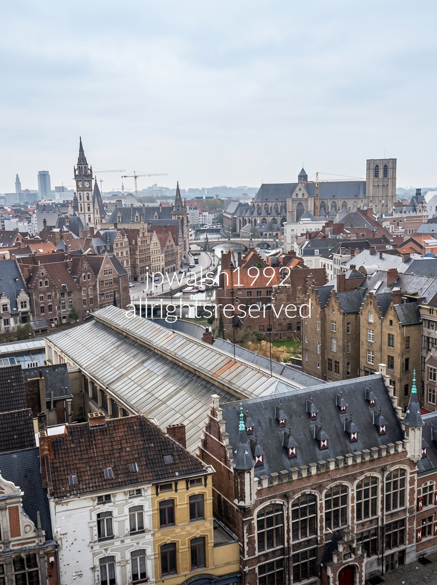
Ghent, Belgium as seen from the south walls of the Gravensteen. The Post Office Tower is at left, rising above the Korenmarkt. The Graslei Waterfront (Left Bank) line the left-hand bank of the winding river canal. St. Michael’s Church (Upper Right) si the flat-topped, uncompleted stone tower . The Leie River Bend sweeps rightward away as it runs through the heart of the old city toward St. Michael’s Bridge.
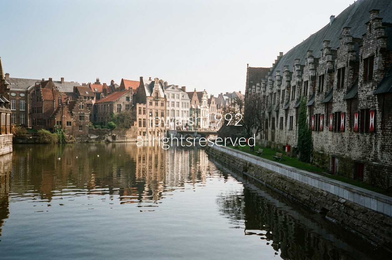
Historic city center of Ghent, Belgium, looking out along the River Leie from the Grasbrug bridge). The long, monumental stone structure lining the water on the right side of the image is the Great Butchers’ Hall (Groot Vleeshuis) dating back to the early 15th century. This expansive hall served cobtinuously as a centralized, covered meat market from 1407 to 1884, nearly 480 years..
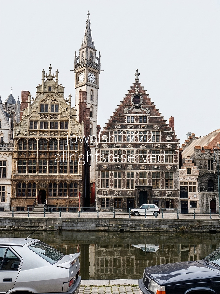
The Graslei on the Leie River forms Ghent’s medieval harbor, a waterfront where guildhouses once oversaw grain, textile, and river‑borne trade moving through Flanders. On the left stands the Guildhouse of the Free Masons, built around 1526 in a late Gothic mode, its narrow façade and pointed detailing rising sharply over the quay. On the right, the broader House of the Grain Measurers (1698) shows its Baroque confidence in brick and stone — stepped gable, carved garlands, symmetrical windows, and the large ornamental stone wreath crowning the peak. Above them, the slender clock tower of the Former Post Office (1898–1910) threads upward in an eclectic Neo‑Gothic style, a 19th‑century vertical accent woven into the medieval skyline.

A short walk from Antwerp’s center, the Rubens House began as an older Flemish residence that Peter Paul Rubens (1577–1640) purchased in 1610 and reshaped into an Italianate palazzo. Its plan combined the family home, the artist’s studio, a monumental portico, and the interior courtyard on today’s Wapper street.
The courtyard, pictured above, opens into the Baroque garden designed by Rubens himself, completing the palazzo’s blend of Flemish domestic architecture and Italian Renaissance influence.
Rubens married Isabella Brandt (1591–1626) in 1610, and the couple had three children before Isabella died of plague at age 34.
Centuries later, Antwerp acquired the house in 1937 and opened it to the public in 1946, preserving Rubens’s home and studio as a civic museum.
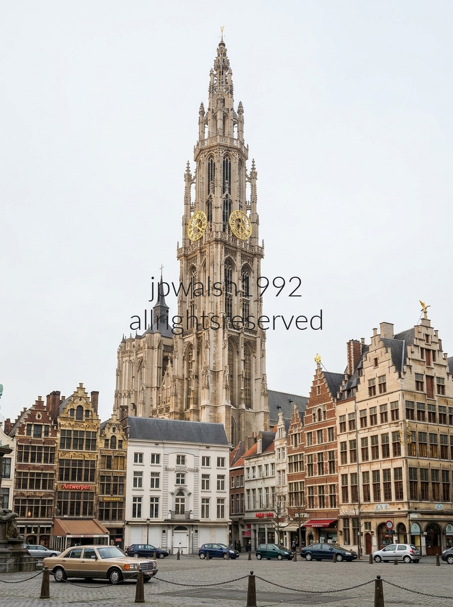
On Antwerp’s cobblestone Handschoenmarkt (Glove Market), a row of historic guild houses—each crowned with traditional step‑gabled façades—frames the square with the city’s signature medieval heritage. The plaza looks directly toward the Cathedral of Our Lady, begun in 1352 and completed nearly two centuries later, its soaring Gothic tower rising above the market like a stone beacon.
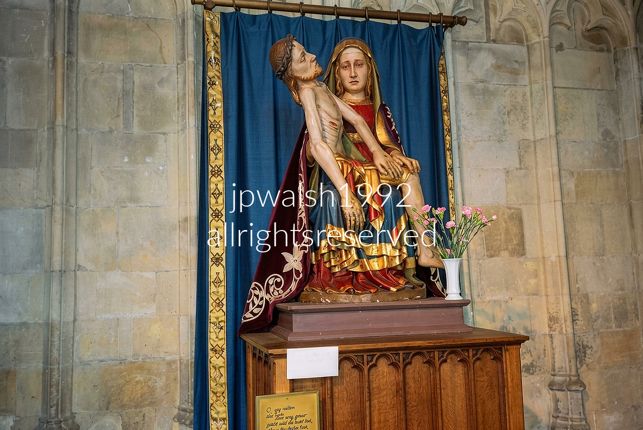
The Mosan Gothic polychrome wood Pietà (c. 1380) inside the Basilica of Our Lady (Onze-Lieve-Vrouwebasiliek) in Tongeren sits in a blaze of color and sorrow: Mary cradling the lifeless Christ, their carved forms still carrying the soft medieval pigments that once glowed under candlelight. At the base, a small framed handwritten card in old Dutch reads “O, ghy allen die hier ghaet…” — a devotional line drawn from Lamentations 1:12, inviting anyone who passes to pause and reckon with the weight of the scene.
The sculpture rests on an architectural oak panel cabinet, its dark grain anchoring the figure against the basilica’s pale limestone walls. Behind it hangs a rich blue fabric drapery edged with a hand‑stitched gold‑accented border, a deliberate backdrop that heightens the Pietà’s emotional gravity and its place within Tongeren’s long sacred history.
The Feast of Our Lady of Sorrows, celebrated on September 15, commemorates the Seven Sorrows of the Virgin Mary, particularly her suffering during Christ’s Passion. It remains one of the Church’s principal Marian observances, linking Mary’s maternal grief to Christ’s redemptive mission. While the theological foundations of the devotion are found in the New Testament accounts of Calvary and other episodes in Christ’s life, the formal devotion to Mary’s sorrows emerged within medieval monastic spirituality, notably among the Benedictines and later the Servites, beginning around the 11th century.
Marian devotion flourished during the 12th and 13th centuries, especially in France, alongside the construction of Gothic cathedrals such as those at Chartres and Paris. During this period, Christian spirituality increasingly emphasized the human experiences of Christ’s life and Passion. Reflection on Mary’s grief at the foot of the Cross provided believers with a powerful means of contemplating the emotional and spiritual weight of the Crucifixion. If Christ’s suffering was understood as the instrument of redemption, Mary’s sorrow came to exemplify the human response of faithful participation in that sacrifice, embodying the meaning of compassion, literally “suffering with.”
Mary’s role within this devotion is unique because her relationship to Christ’s mission is fundamentally maternal. The Feast of Our Lady of Sorrows highlights this dimension most clearly in the Gospel account of the Crucifixion. When Jesus says to her, “Woman, behold your son,” referring to the disciple John, Christian tradition has long interpreted the moment as an expansion of Mary’s motherhood beyond Christ alone. Because she stood united with her Son in His suffering, she came to be understood as the spiritual Mother of the Church and, by extension, of all believers. In this theological vision, Mary is often associated with the New Eve, just as Christ is the New Adam, and the Cross, once an instrument of death, becomes the Tree of Life through which redemption enters the world.
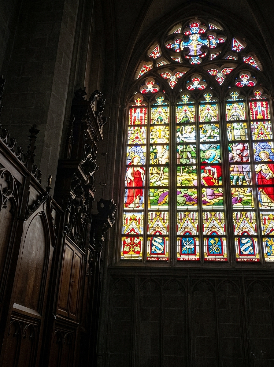
The late‑19th‑century nave window in the Basilica of Our Lady (Onze‑Lieve‑Vrouwebasiliek) in Tongeren carries a dense, chronological sweep of Biblical narrative, with an unmistakable emphasis on episodes from the lives of the Virgin Mary and Jesus. Its tall Gothic Revival panels stack scene after scene in crisp, story‑driven order, each vignette rendered with the saturated reds, blues, and gilded accents characteristic of the period’s monumental ecclesiastical glass.
Crafted between 1890 and 1900 during the basilica’s major restoration campaigns, the window belongs to the ambitious revival program that reshaped much of Limburg’s church glazing. The work reflects the hand of leading Belgian and Flemish master glass studios active at the time — most prominently Stalins & Janssens of Antwerp, whose workshop supplied much of the region’s large‑scale Gothic Revival glass. Their signature precision appears here in the disciplined figure modeling, the architectural canopies framing each narrative, and the luminous enamel work that drives the storytelling forward.
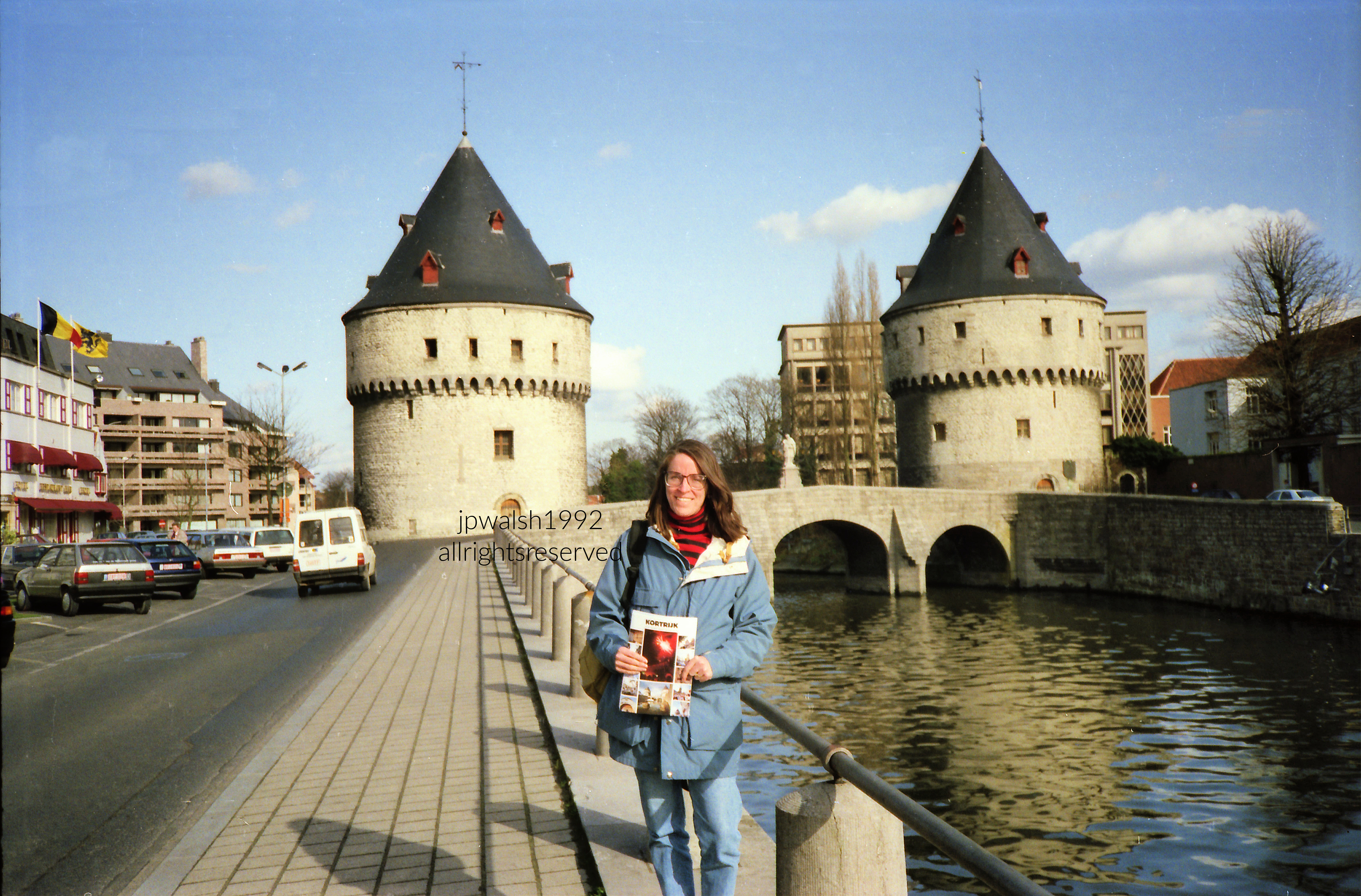
The Broel Towers and the Broel Bridge span the Leie River at the heart of Kortrijk, their limestone‑and‑sandstone massing forming the last intact survivors of the city’s medieval defensive walls. Though the pair reads as twins from the riverbank, each tower carries its own chronology and military logic.
The Southern Tower, or Speytore, rose in 1385 as part of the fortified perimeter around the first castle of the Counts of Flanders. Built to oversee and regulate commercial ship traffic on the Leie, it functioned as a river‑control post — a watchpoint for the flow of goods, tolls, and movement along Kortrijk’s main waterway. The best‑documented flows were grain and textile raw materials, with Kortrijk and nearby Ghent acting as mandatory trading stops under Flemish staple rights.
The Northern Tower, completed in 1415, served a wholly different purpose. Known as the Ingelborchtoren, it was engineered as a fortified arms depot, its thick walls designed to store and withstand the weight and recoil of heavy artillery and early cannons — a military vault rather than a lookout.
The stone arches of the Broelbrug also date to 1385, tying the ensemble together. Though the bridge itself was destroyed in both World Wars during intense fighting, it was faithfully reconstructed each time. The two medieval towers, remarkably, survived each conflict intact — standing today as Kortrijk’s most recognizable historic silhouettes and a rare, continuous link to its fortified past.
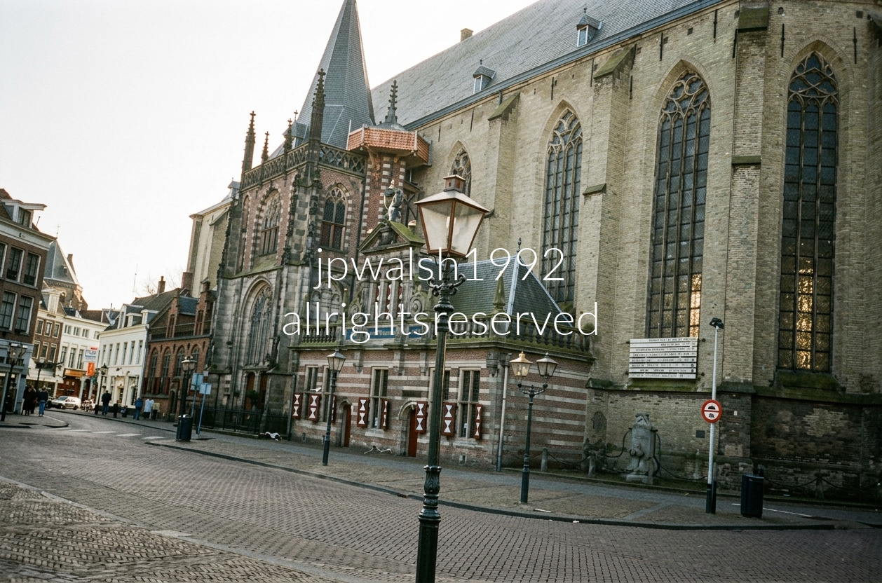
Side exterior of the Grote of Sint‑Michaëlskerk in the historic center of Zwolle, where the church’s massive Late Gothic masonry meets a small, unmistakable 17th‑century outbuilding: In Den Hoofdwacht, the former city guardhouse built in 1614, attached directly to the south flank and marked by its red‑and‑white patterned shutters. The site’s sacred history reaches back to 765, with a stone Romanesque church rising here around 1200. As Zwolle grew into a prosperous Hanseatic trading hub, the structure was transformed between 1406 and 1466 into a broad, three‑aisled hall church in the Lower Rhine Gothic style, defined by its tall interior volumes and restrained vertical articulation.
From 1897 to 2006, Sint‑Michaëlskerk safeguarded the reliquary of Thomas à Kempis, the devotional writer who spent nearly his entire adult life at the nearby Mount St. Agnes monastery composing works including The Imitation of Christ. In 2006, the shrine was transferred to the Basilica of Our Lady of the Assumption (Onze Lieve Vrouwe ten Hemelopneming) elsewhere in Zwolle, where it remains today.
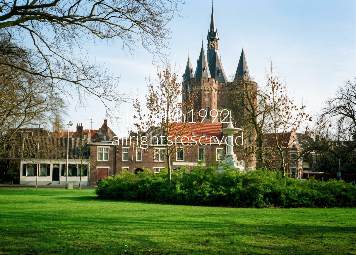
Looking across the lawn of Ter Pelkwijkpark toward the monumental Sassenpoort (Sassen Gate) in Zwolle, Netherlands. The gate was constructed between 1406 and 1409, while the Wilhelminafontein (Wilhelmina Fountain), visible in the foreground, was installed in 1898 to commemorate the inauguration of Queen Wilhelmina of the Netherlands.
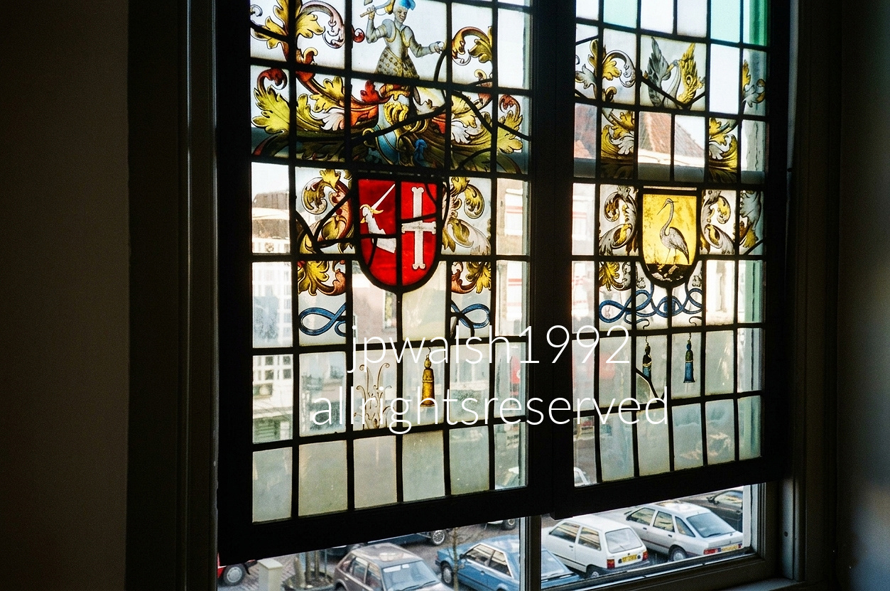
This stained-glass window is a classic example of Dutch Golden Age glass painting, a style widely produced between 1580 and 1630. Its imagery reflects Zwolle’s deep medieval ties to the Roman Catholic world. For centuries the city was a renowned center of the Modern Devotion (Devotio Moderna) movement associated with figures such as Thomas à Kempis, and it remained under the authority of the Prince-Bishops of Utrecht. The left panel displays the historic arms of the Sticht Utrecht: a silver cross on a red field (gules, a cross argent), a symbol closely linked to the bishopric that governed Zwolle and much of Overijssel throughout the Middle Ages. The right panel features a heron, traditionally an emblem of Christian vigilance and a familiar symbol within Catholic iconography. Although Zwolle officially embraced Calvinism in 1580, banning Catholic worship and transferring churches to Protestant control, much of the population remained privately Catholic. For generations, many worshipped in hidden schuilkerken, or clandestine churches, tucked away in homes, attics, and rural estates, preserving older traditions long after the Reformation reshaped public religious life.
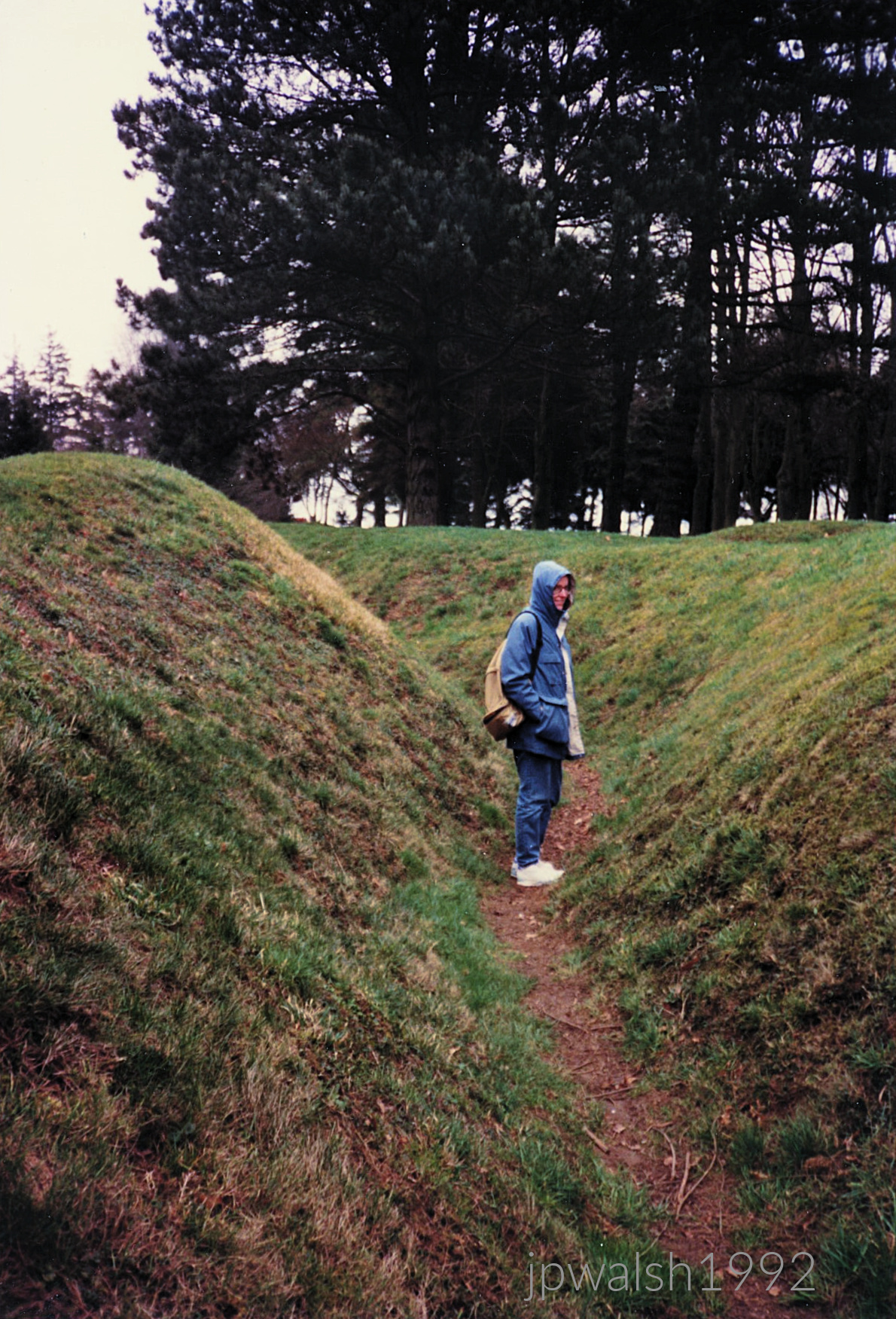
The grass‑covered depressions are actual preserved World War I trenches, left untouched since the end of the war. They still mark the front lines as they were on July 1, 1916, when there was fierce fighting during the first day of the Battle of the Somme.
At this sector, the Royal Newfoundland Regiment was nearly destroyed in the opening morning of the July 1 assault. That day remains the bloodiest in the history of the British Army, with 57,470 casualties — including 19,240 dead — recorded. The regiment’s near‑total loss stands as the battle’s worst single‑unit catastrophes and among the highest proportional casualty rates suffered by any individual unit in the entire war.
From nearby Beaumont, Scottish battalions joined the attack; by nightfall, roughly 90% of these men were dead, a measure of the battle’s ferocity.
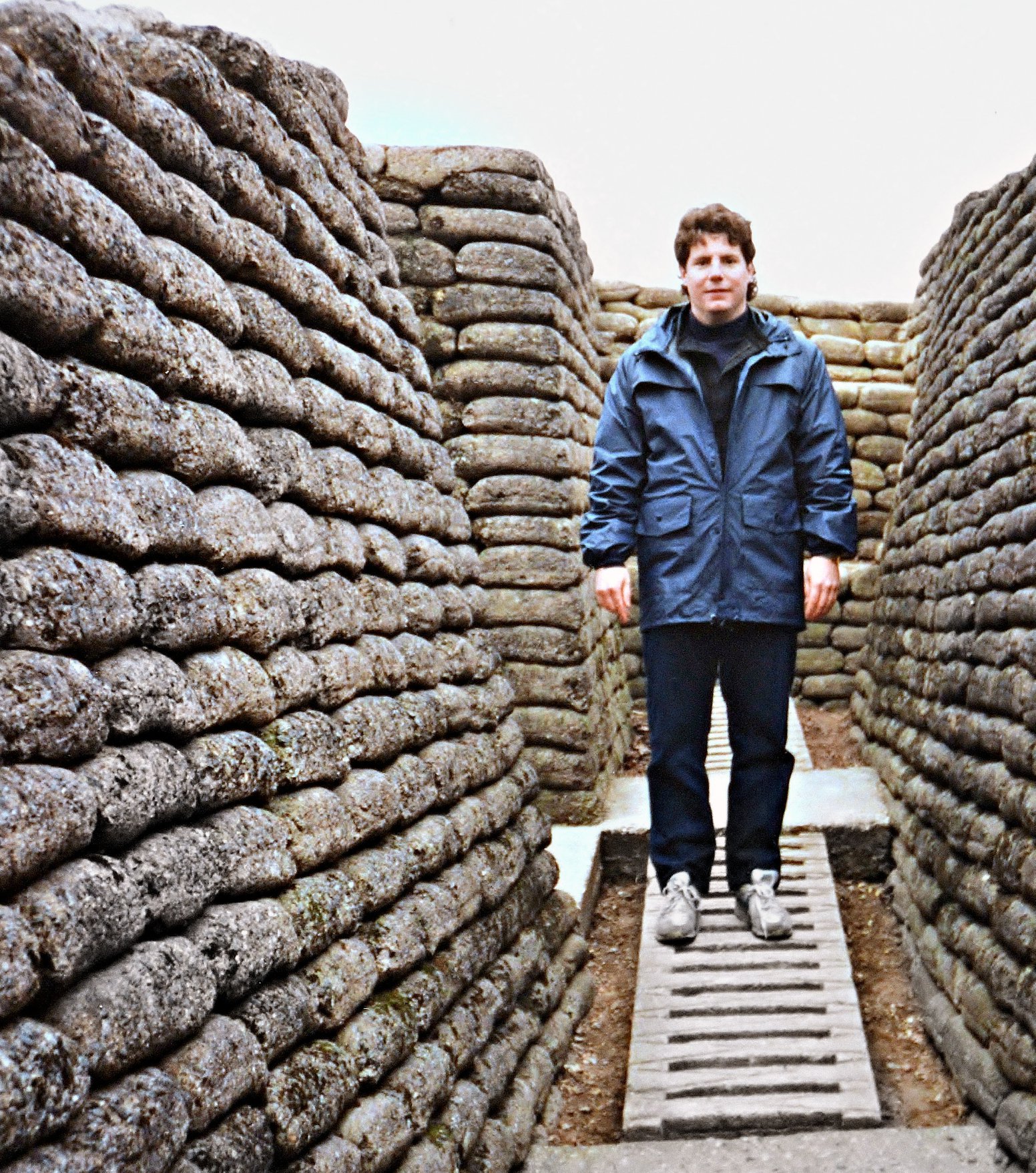
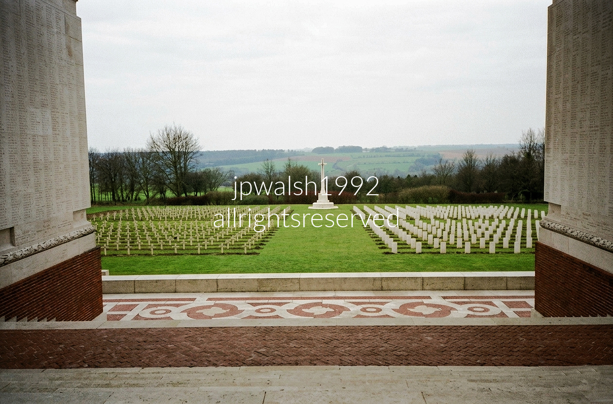
Just 5 kilometers (3 miles) apart, Thiepval and Beaumont-Hamel are inseparably linked to the Battle of the Somme’s opening day on July 1, 1916, the bloodiest day in British Army history. At Beaumont-Hamel, the Royal Newfoundland Regiment was devastated, with only 68 of roughly 800 men answering roll call the next morning. At Thiepval, British forces suffered catastrophic losses attacking the heavily defended ridge and Schwaben Redoubt, objectives not secured until months later. Today, Beaumont-Hamel preserves the battlefield’s original trenches and shell-scarred landscape, while the towering Thiepval Memorial bears the names of more than 72,000 British and South African soldiers who died on the Somme and have no known grave.

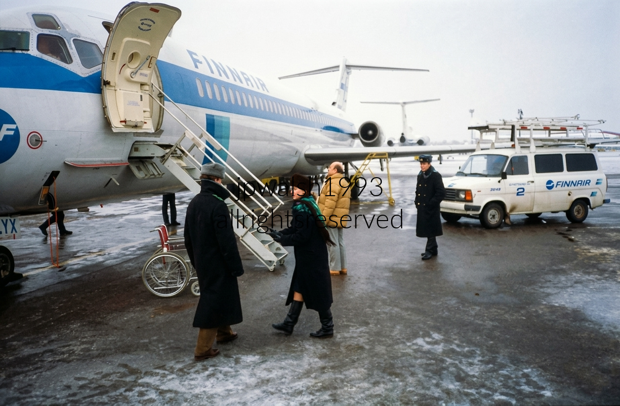
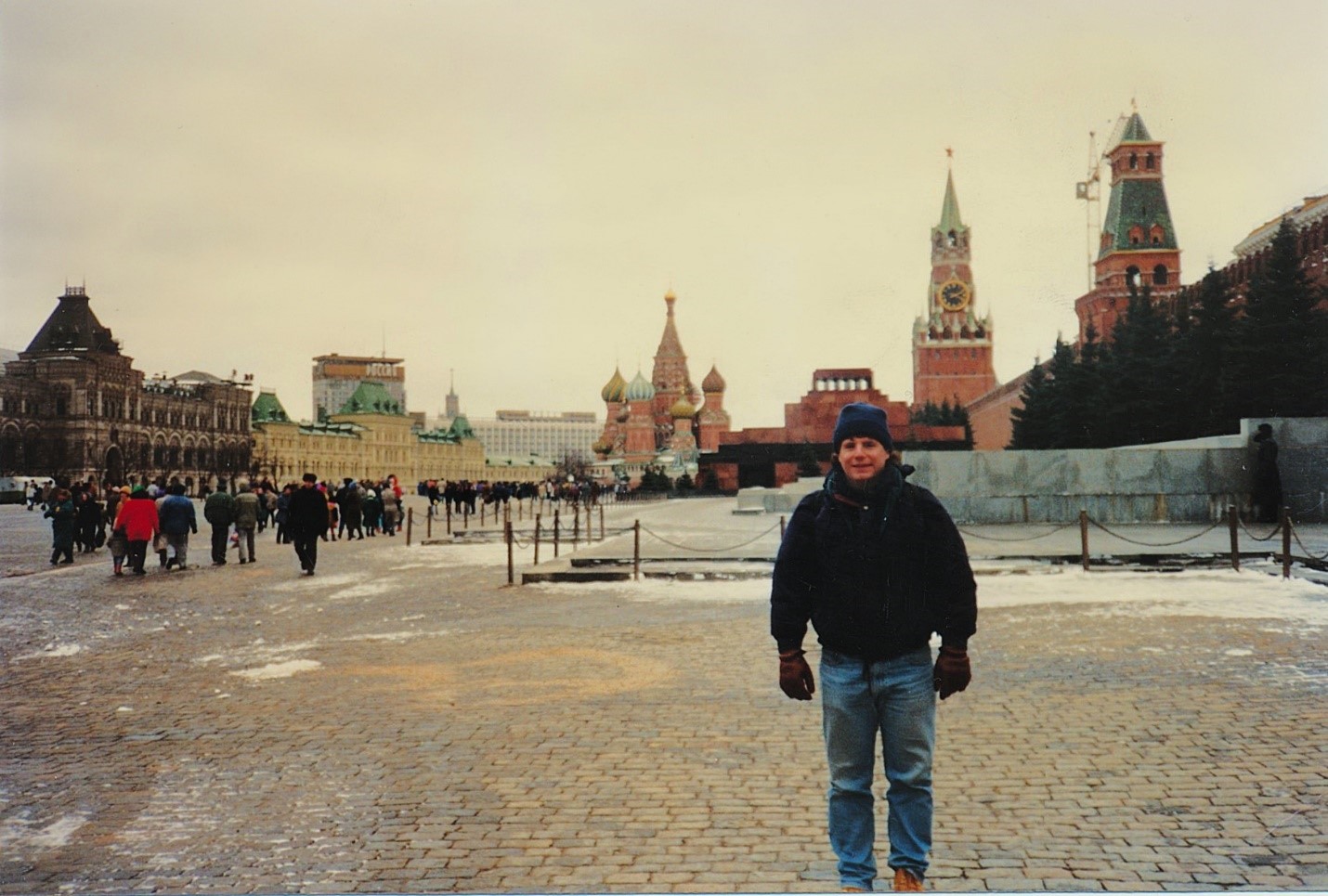

Below the ceiling molding in the passageway stands a statue depicting Belarusian partisans who resisted Nazi Germany from 1941 to 1944, carrying out military and political operations under direction from Moscow. January 1993 — 35%

The structure is the mausoleum of Vladimir Lenin (1870–1924), whose preserved body has been on public display since shortly after his death in January 1924. Within days, Soviet architect Alexey Shchusev (1873–1949) was tasked with creating a building suitable for public viewing.
In 1930, Shchusev completed the mausoleum seen today, built of marble, porphyry, granite, and labradorite. From 1953 to 1961, the embalmed body of Joseph Stalin (1878–1953) was placed beside Lenin, then removed by Nikita Khrushchev (1894–1971) and reburied in the nearby Kremlin Wall cemetery.
While drawing on forms from ancient mausoleums, the tomb’s design is an experiment in early Constructivism, expressing Soviet modernism through strict geometry and monumental massing. 35%

GUM is the principal department store in cities of the former Soviet Union and, during the Soviet era, operated as the State Department Store with a single vendor — the State.
The best‑known GUM is the Red Square complex, built from 1890 to 1893 by architect Alexander Pomerantsev (1849–1918) and engineer Vladimir Shukhov (1853–1939) as the Upper Trading Rows. By 1917, the building held roughly 1,200 stores.
The trapezoid‑shaped structure, with its steel framework and glass roof, is Moscow’s answer to London’s Crystal Palace (1851) and later influenced elements of La Samaritaine in Paris (1907).
The site has been a planned commercial zone since the reign of Catherine II (1729–1796). Its earlier buildings, designed by Giacomo Quarenghi (1744–1817), were destroyed in the 1812 Fire of Moscow during Napoleon’s invasion.
After 1917, GUM was nationalized, then closed in 1928 and converted into office space under Stalin. It did not reopen as a consumer goods store until after 1953. 50%

The station, known for its 32 stained‑glass panels, opened on January 30, 1952 on the Koltsevaya Line, between Belorusskaya and Prospekt Mira. Though the man at center is an American tourist, the surrounding men on the platform are Russian.
After the fall of the Soviet Union, a broad sell‑off followed — uniforms, insignia, and other state effects were dispersed into private hands. 55%


On Lubyanka Square in central Moscow stands Detsky Mir (“Children’s World”), Russia’s largest toy and children’s goods store.
Architect Alexey Nikolayevich Dushkin (1904–1977) — known for his Moscow Metro and railway designs — spent three years building Detsky Mir in an eclectic blend of post‑Stalin Soviet architectural styles. The children’s emporium opened on June 6, 1957.
Across the square stood the massive KGB headquarters, fronted by a 15‑ton monument to its Bolshevik founder Felix Dzerzhinsky (1877–1926). Sculpted in 1958 by Yevgeny Vuchetich (1908–1974), the statue was torn down on August 22, 1991, leaving an empty pedestal — now gone as well.
Detsky Mir was the first Soviet building to install escalators. After a nearly decade‑long reconstruction, it reopened in 2015 as Russia’s central children’s store. 60% see – https://www.rbth.com/history/335795-soviet-children-store-detsky-mir
http://news.bbc.co.uk/2/hi/europe/2273462.stm
The Bolshoi (“Big”) Theatre opened on January 18, 1825. Its main building — rebuilt and renovated many times — is one of Moscow’s defining landmarks. Architect Joseph Bové (1784–1834) designed the original structure while overseeing Moscow’s reconstruction after the Fire of 1812 during the Napoleonic Wars.
During a visit to the city, Czar Alexander I (1777–1825) ordered that Moscow’s rebuilt architecture use only pale, limited colors, a decree reflected in the Bolshoi’s exterior.
The quadriga — a chariot drawn by four horses atop the portico — was sculpted by Peter Clodt von Jürgensburg (1805–1867), adding a signature neoclassical element to the façade.
The Bolshoi premiered Tchaikovsky’s Swan Lake in March 1877, anchoring its reputation as a major center of Russian ballet and opera.
The Bolshoi Ballet and Bolshoi Opera remain among the world’s oldest and most renowned performing companies. 50%

Tverskaya Street in central Moscow — once Gorky Street during the Soviet era — stretches toward Pushkin Square from the direction of Manezhnaya Square. In the center stands the Central Telegraph Building at Tverskaya 7, designed by Ivan Rerberg and completed in 1927. Its Constructivist‑meets‑Art Deco façade is defined by the strong verticals of its corner tower, which historically carried an early Soviet globe emblem. The perspective captures the rise of the street as it moves north, with the Telegraph Building anchoring the axis of one of Moscow’s most important boulevards.
Bryusov Lane and Yeliseyevsky Lane in the Tverskoy District of Moscow — the view follows the gentle bend where Bryusov Lane curves right and begins running parallel to Tverskaya Street toward the Moscow Conservatory. The prominent yellow corner building is the administrative wing of the Church of the Resurrection of the Word on Uspensky Vrazhek, formally addressed at Bryusov Lane 15/2. Its bright façade anchors the intersection, marking the transition from the quieter residential lanes to the cultural corridor leading toward the Conservatory.
Just east of the Great Kremlin Palace lies Cathedrals Square.
Facing the river, the cathedral served as the coronation church of the czars and the burial place of the patriarchs.
In 1812, Napoleon’s forces used the church as stables, burned icons for firewood, and stole more than 1,000 pounds of gold and silver.
Built 1475–79 by Ridolfo “Aristotele” Fioravanti of Bologna, the five‑dome, six‑column structure is the Kremlin’s largest church.
Its curved zakomara gables and mid‑wall column belt reflect traditional Russian forms from the Vladimir–Suzdal princedom.
The interior frescos date from 1500 and 1642.

The cathedral underwent major restoration campaigns in the 1890s and 1910s.
After the 1917 Revolution, the new government closed all Kremlin churches and converted the cathedral into a museum.
Lenin permitted one last Easter service in 1918 before full secularization.
In 1991, the cathedral was restored to the Russian Orthodox Church.
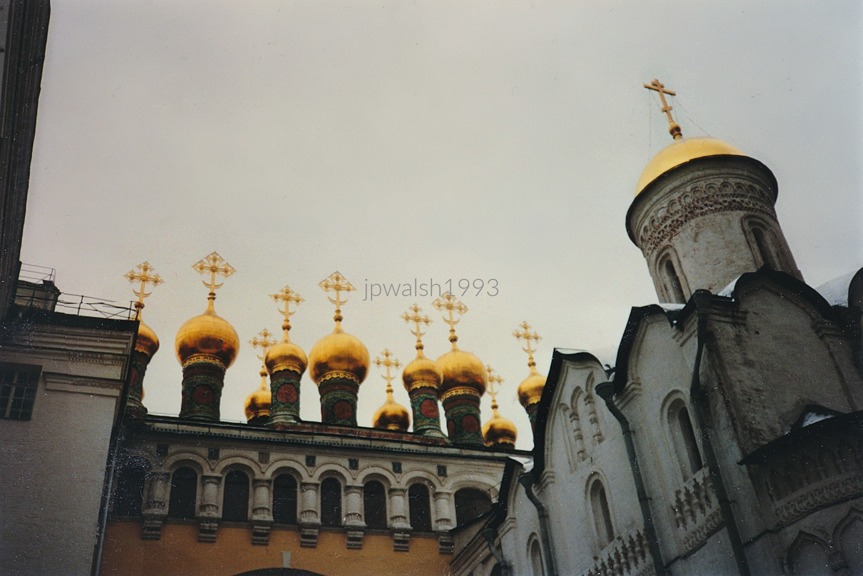
Both the church and Cathedrals Square now form part of the Kremlin Museums. Once eleven churches stood within the Kremlin; today six remain.
The relic, first recorded in 473 A.D., was believed to protect Constantinople in the 9th century and Moscow in the 15th; it is preserved today in Zugdidi, Western Georgia.
The Church of the Deposition of the Robe originally served as the private chapel of the Patriarch of Moscow and all Rus’.
In the mid‑17th century, the Russian royal family assumed control of the church.
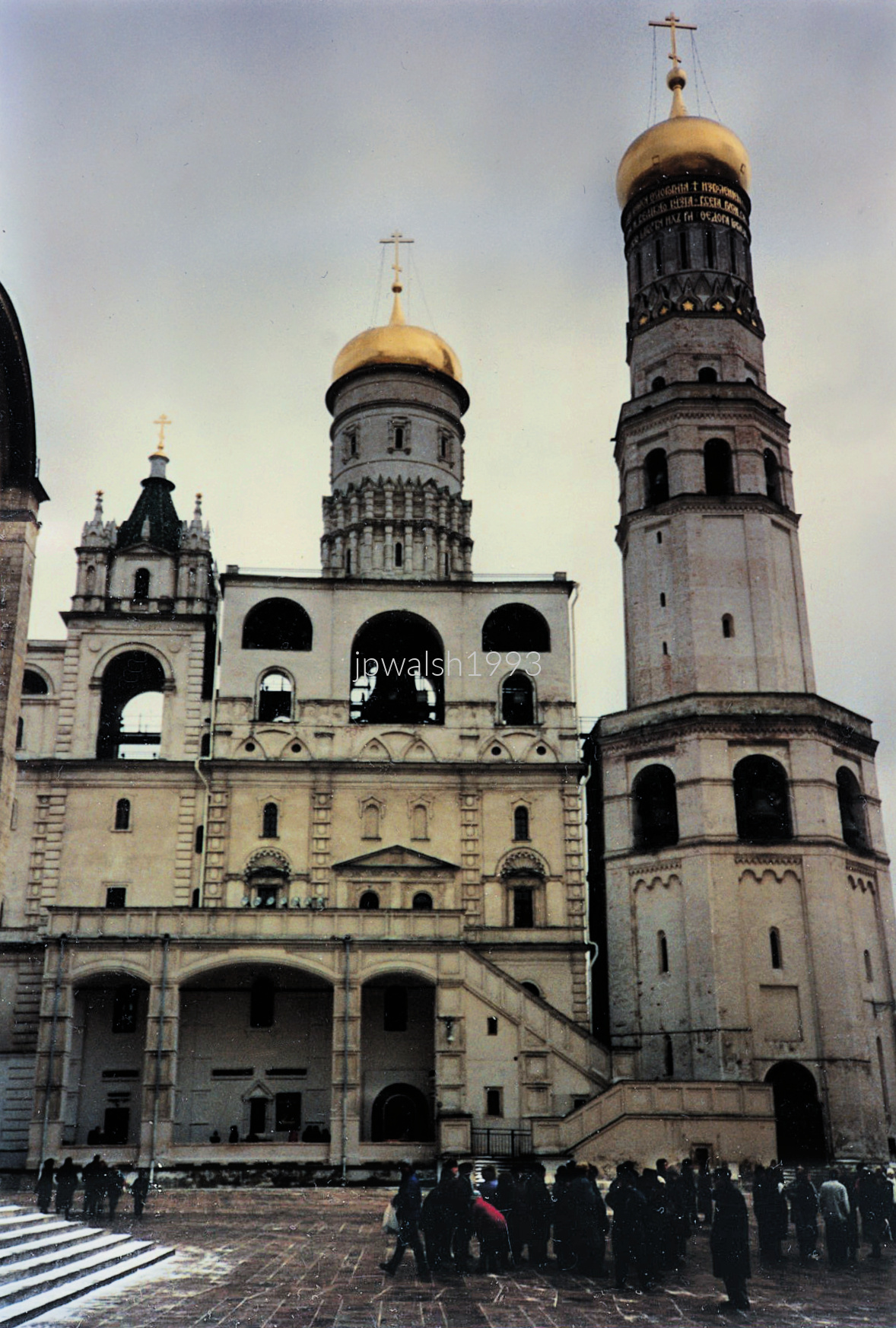
Named for St. Michael the Archangel, the cathedral was built 1505–09 by Alevisio Novi of Milan, invited to Moscow by Ivan III.
It served as the burial place of Muscovite rulers from Ivan Kalita (died 1341) to Aleksey Mikhailovich (died 1676).
Its Northern Italian decorative program was widely copied across 16th‑century Russia.
Inside, the icon of the Archangel Michael is attributed to Andrei Rublev.
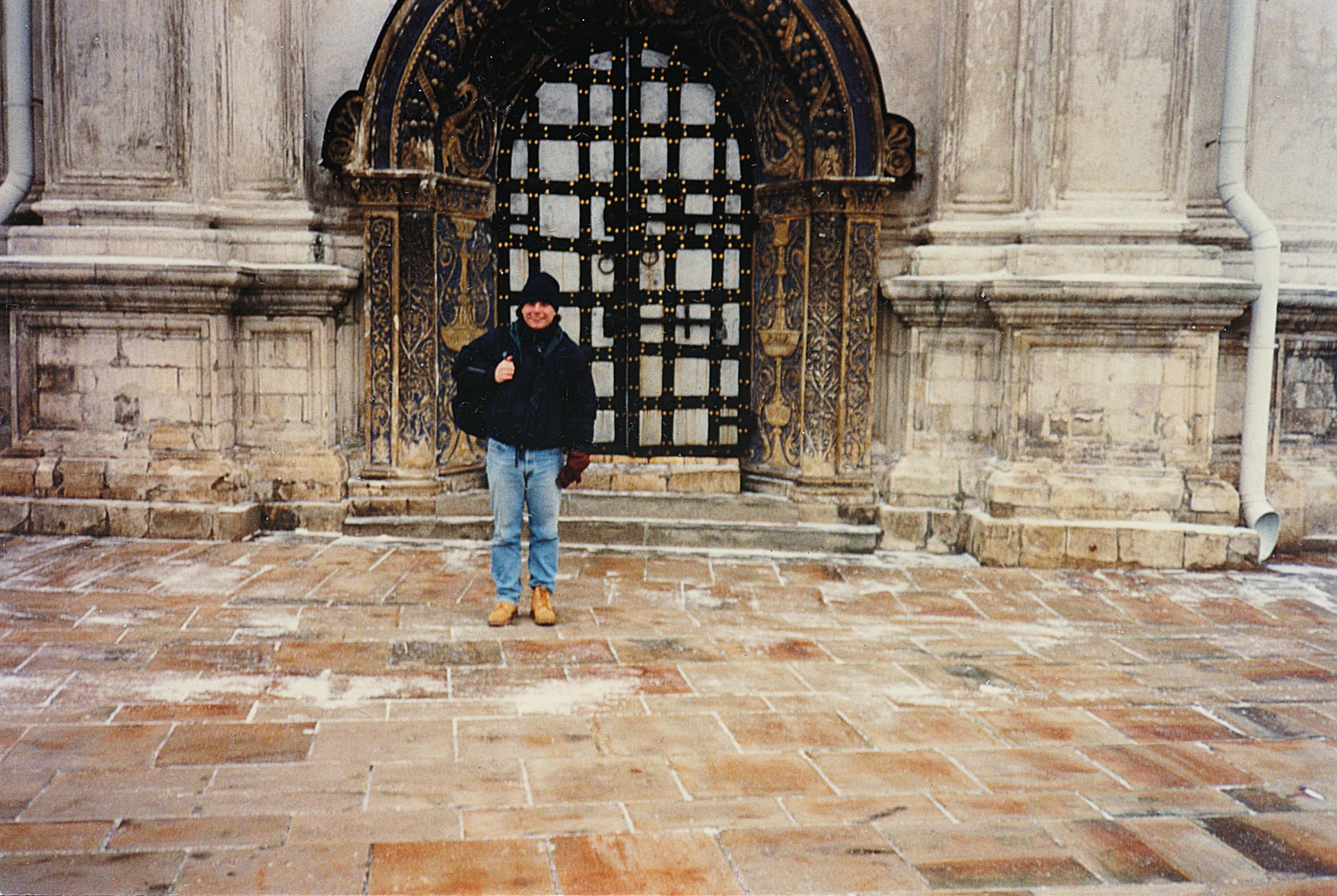

Built 1936–41, the building was described by Stephen Sennott as “the purest form of totalitarian monumentality.”
Architect Noy Trotsky adapted his constructivist background to Stalin’s preferred neoclassicism.
A Palace of Youth, a Palace of the Red Army and Navy, and triumphal arches were planned but halted by World War II.
A Lenin statue on a granite pedestal was installed in front of the House of Soviets in 1970.
The building housed the Soviet of People’s Deputies, then the city’s main legislative body; it remains St. Petersburg’s largest office building and one the largest in Russia..
The main facade is 721.78 feet long and 164.04 feet high, while the RSFSR emblem on the roof stands 36.09 feet tall.
The House of Soviets stood on the front line when Nazi forces invaded and besieged the city in 1941.

The Winter Palace, built between 1754 and 1762, served as the winter residence of the Russian czars until the early 20th century. It was designed by Francesco Bartolomeo Rastrelli (1700–1771), an Italian architect born in Paris who moved to St. Petersburg in 1716. Rastrelli also designed the Smolny Convent (1748–1764). The palace’s interior has been repeatedly redesigned by various architects over the centuries.
At the center of Palace Square rises the Alexander Column, designed by Auguste de Montferrand (1786–1858) and constructed between 1830 and 1834, during the same period he was building St. Isaac’s Cathedral (1816–1858). The column, made of red Finnish granite, stands 154 feet high and weighs roughly 700 tons. It commemorates Russia’s victory over Napoleon in the War of 1812. The angel at the top bears the face of Czar Alexander I (1777–1825) and symbolizes peace in Europe after Napoleon’s defeat.
To ordinary Russians, the Winter Palace long represented the visible power of the empire. It became the stage for several watershed events in modern Russian history:

The Church of the Resurrection of Jesus Christ in Saint Petersburg stands on the spot where Czar Alexander II (1818–1881) was assassinated in March 1881. Built between 1883 and 1907 in the Russian Revival style, it was commissioned by the Romanov family as a memorial to the slain ruler.
Alexander II freed the serfs in 1861 and abolished capital punishment, yet his government remained autocratic, resisting liberal reforms. Beginning in 1879, he became the target of repeated assassination attempts, culminating in the fatal attack of March 1881.
While riding near the Griboyedov Canal, a bomb was thrown beneath the czar’s carriage, killing a Cossack guard and injuring others. Alexander II survived the blast, but a second attacker — Ignatiy Grinevitsky — detonated a bomb at close range. Mortally wounded, the czar was taken to the Winter Palace (today’s Hermitage), where he died.
The radical group The People’s Will (Narodnaya Volya) claimed responsibility. They sought political liberty and land reform from the autocratic regime. Although Alexander II had signed an order establishing a Duma, his successor Alexander III (1845–1894) rescinded it and renewed repression through the Okhrana, the Imperial secret police.
Richly decorated and architecturally elaborate, the church remains one of Saint Petersburg’s best‑known landmarks. 50% See – http://www.saint-petersburg.com/rivers-and-canals/griboedov-canal/ – retrieved January 18, 2024.
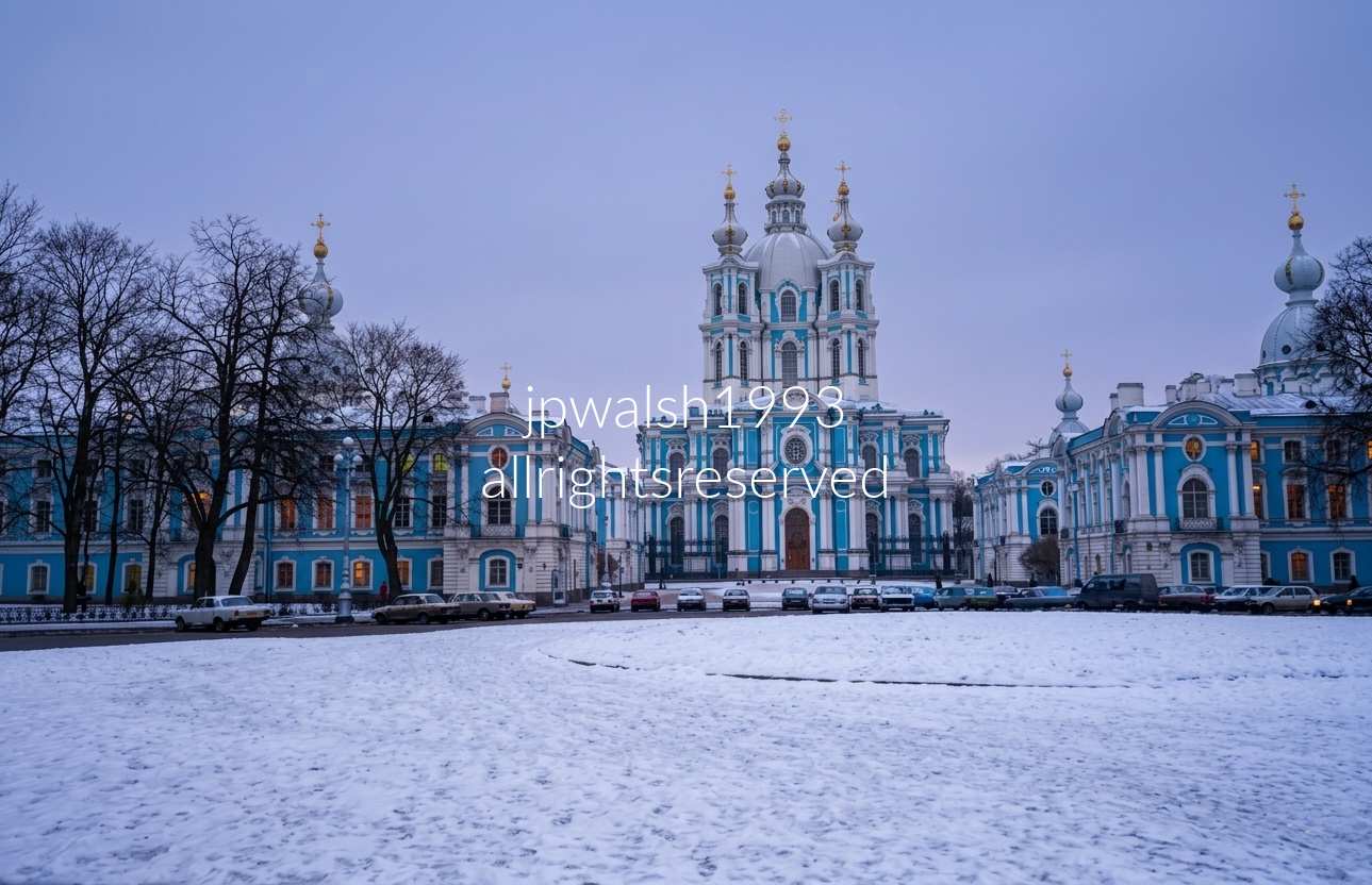
The Smolny Convent complex centers on the turquoise‑and‑white Smolny Cathedral, located on Ploshchad Rastrelli along the Neva River in Saint Petersburg.
Designed by Francesco Bartolomeo Rastrelli, the cathedral is a pinnacle of Elizabethan Baroque, distinguished by its vivid façade and brilliant silver‑domed cupolas.
The view from the central square faces the main cathedral, flanked symmetrically by residential wings, monastic cells, and onion‑domed corner towers of the convent school grid.
Commissioned in 1748 by Empress Elizabeth as a potential retirement convent, the complex later became the Smolny Institute, Russia’s first educational institution for noble women.
During the Russian Revolution, Vladimir Lenin used the Smolny complex as his strategic headquarters, giving the site a central place in revolutionary history.
Above: The Spit of Vasilievsky Island (Strelka) in Saint Petersburg, with one of the two Rostral Columns rising at left. Built in 1810 by French architect Thomas de Thomon, the 32‑meter column is decorated with ship prows symbolizing Russia’s naval victories, and its base features a monumental stone figure representing the Volkhov River. Across the Neva in the distant center stands the golden dome of Saint Isaac’s Cathedral, one of the world’s largest domed basilicas. The open, snow‑dusted plaza in the foreground marks the point where the Neva divides into the Bolshaya and Malaya branches, historically the maritime and trading hub of the old Russian Empire.
The tram numbered 8148 is an articulated LVS‑86 (ЛВС‑86) unit, built in 1991 by the Petersburg Tram Mechanical Plant (PTMZ) and assigned to Tram Depot No. 8.
On the right side of the street stands a neoclassical building marked by grand columns and arched windows—features typical of the imperial architectural vocabulary found throughout central Saint Petersburg.
Above: Vosstaniya Square (Ploshchad Vosstaniya), a major crossroads in central Saint Petersburg, sits at the junction of Nevsky Prospekt, Ligovsky Prospekt, and the forecourt of the Moskovsky Railway Station. The sweeping curved building with classical columns on the right is the Vosstaniya Square Metro Station, built in the grand Soviet Empire style. On the left, a temporary billboard marks the 50th anniversary of the lifting of the Siege of Leningrad (1943–1993), reading “Подвиг твой, Ленинград, бессмертен!” (“Your exploit, Leningrad, is immortal!”). Long a transportation and cultural hub, the square once held the Sign of the Cross Church, which stood on the metro station’s footprint before its removal in the Soviet era.

Above: At the intersection of Mikhaylovskaya Street and Malaya Sadovaya Street near Manezhnaya Square, the view runs along the edge of the Mikhailovsky Garden / Klenovaya Alley complex in central Saint Petersburg. The high wall sign on the left reads “СТОП” (“STOP”), a standard Soviet‑era marker for controlled intersections. The pale yellow façades with white trim reflect the uniform 18th–19th‑century imperial architecture typical of the city’s historic core. On the right, a dense winter row of bare trees marks the boundary of one of Saint Petersburg’s central garden squares, situated near the State Russian Museum and the Field of Mars.
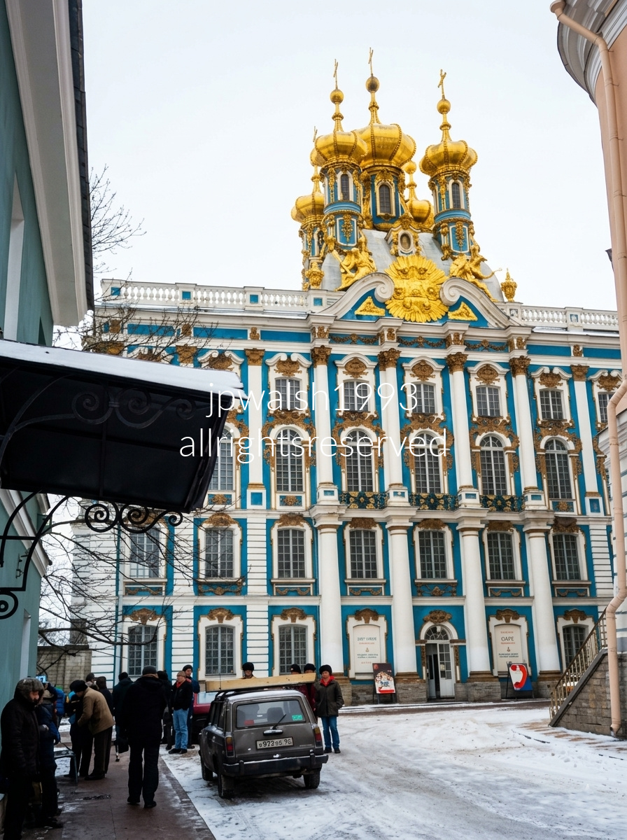
The palace at Tsarskoe Selo (“Tsar’s Village”)—today Pushkin, fifteen miles south of St. Petersburg—was begun in 1718 by Johann Friedrich Braunstein for Catherine I Alekseevna Mikhailova (1684–1727), the second wife and consort of Peter the Great. Catherine I succeeded him as Empress of Russia from 1725 to 1727, establishing the site as an imperial residence.
During the reign of Peter the Great’s daughter, Empress Elizabeth (1709–1762), the palace was dramatically enlarged. Imperial architect Mikhail Zemtsov (1688–1743) designed a new structure beginning in 1744. In 1745, his pupil Andrey Vasilievich Kvasov (c.1720–c.1770), working with Savva Ivanovich Chevakinsky (1709–c.1774), expanded the building further.
The palace reached its full expression under Francesco Bartolomeo Rastrelli, who completed it in a full‑blown Baroque style. The exterior stretched 326 yards, articulated with double columns and abundant statuary—an unmistakable statement of imperial grandeur.
Catherine the Great (1729–1796) used the palace every summer. She commissioned architect Charles Cameron (1745–1812) to remodel several rooms in the neoclassical style, creating the refined interiors associated with her reign.
Much of the palace and its contents were lost during World War II, with restoration proceeding slowly in the decades that followed. Today’s Catherine Palace is the result of extensive postwar reconstruction layered atop its 18th‑century foundations.
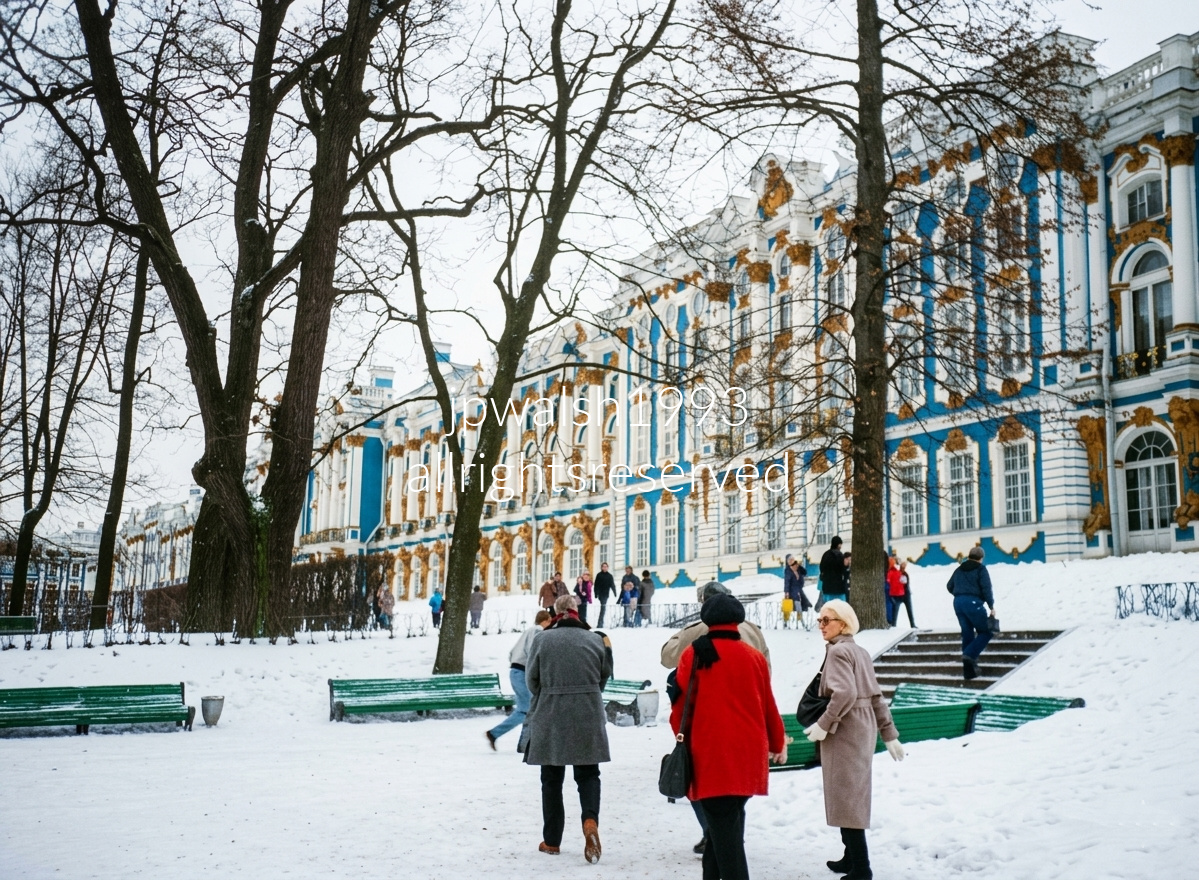
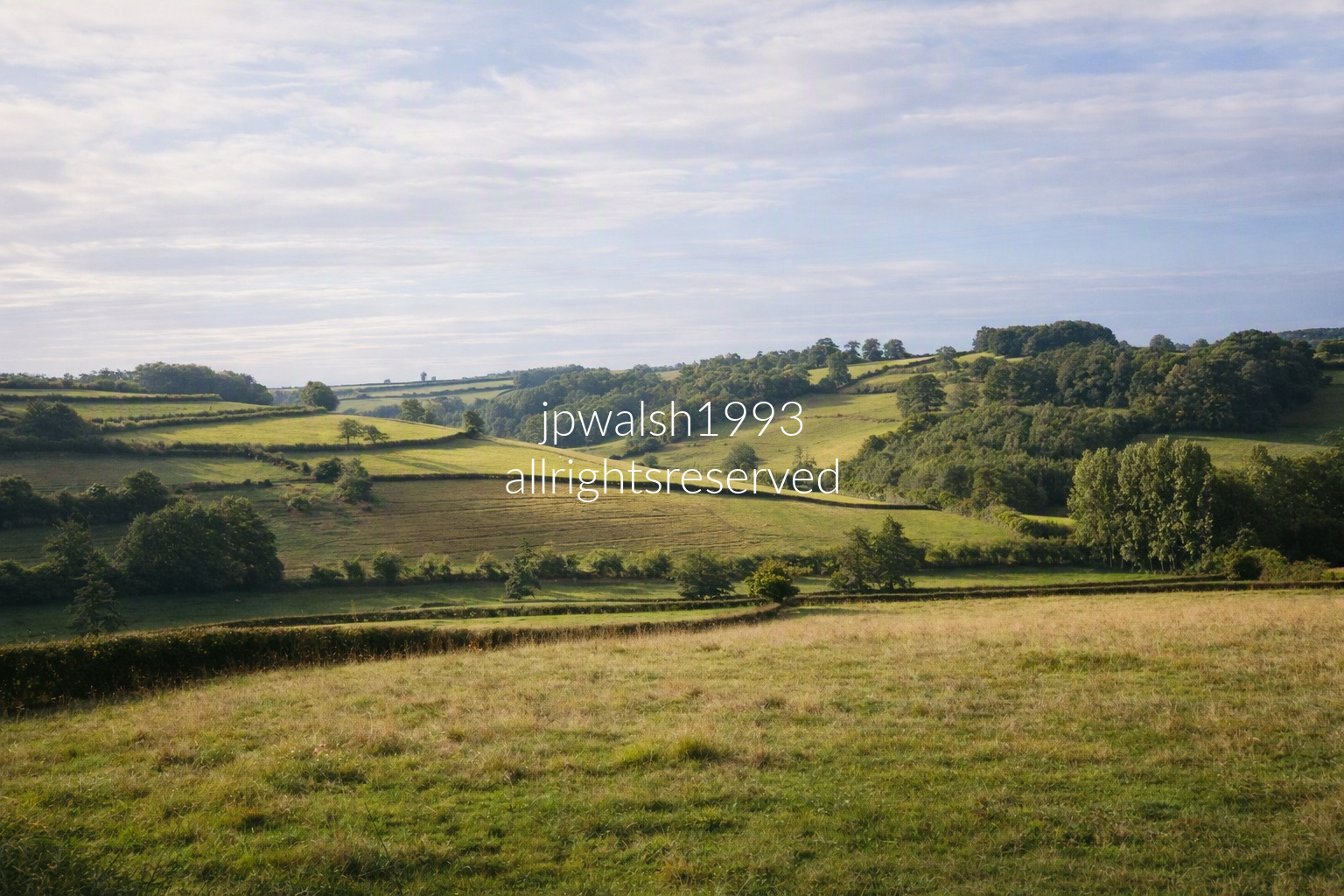
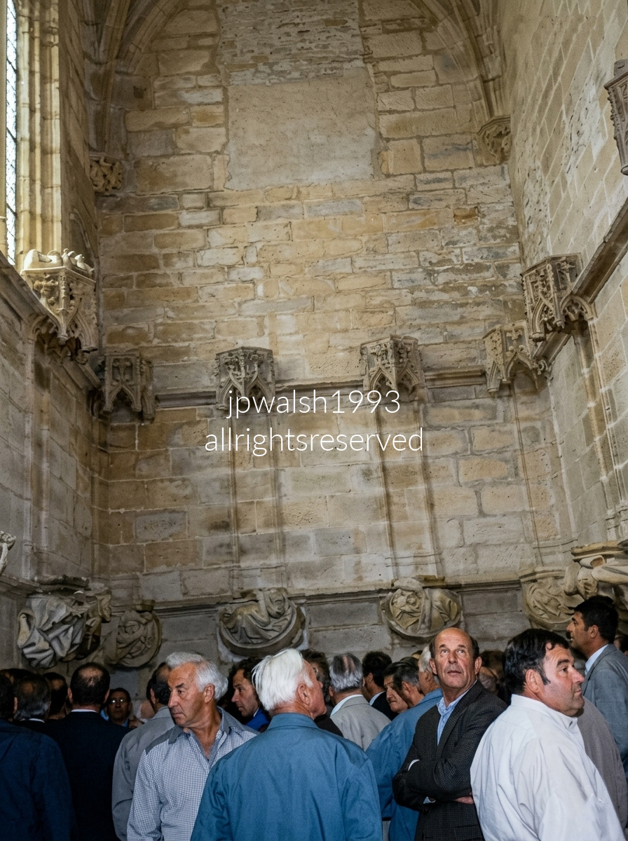
Founded in 910, Cluny Abbey grew into one of Europe’s most powerful Benedictine centers, influencing not only monastic but general church life through its strict liturgical discipline and far‑reaching network of dependent houses.
The abbey’s third and final church, Cluny III, was begun in 1088 under Abbot Hugh of Semur (1024–1109). Designed by Hézelon de Liège, it expanded Cluny’s architectural ambition into a monumental basilica of unprecedented scale.
For centuries, Cluny III stood as the largest church in Europe, a physical expression of monastic authority and centralized organization. Its dominance lasted until the 16th century, when the new St. Peter’s Basilica in Rome surpassed it.
Cluny III — the vast Romanesque church begun in 1088 — survived until 1790, when the French Revolution targeted monastic institutions as symbols of aristocratic and ecclesiastical power. Revolutionary authorities sacked the abbey, seized its property, and sold much of the structure as building stone.
After 1790, the abbey church was systematically demolished. Only fragments of Cluny III survive today — a small portion of the transept, some monastic buildings, and archaeological remains.
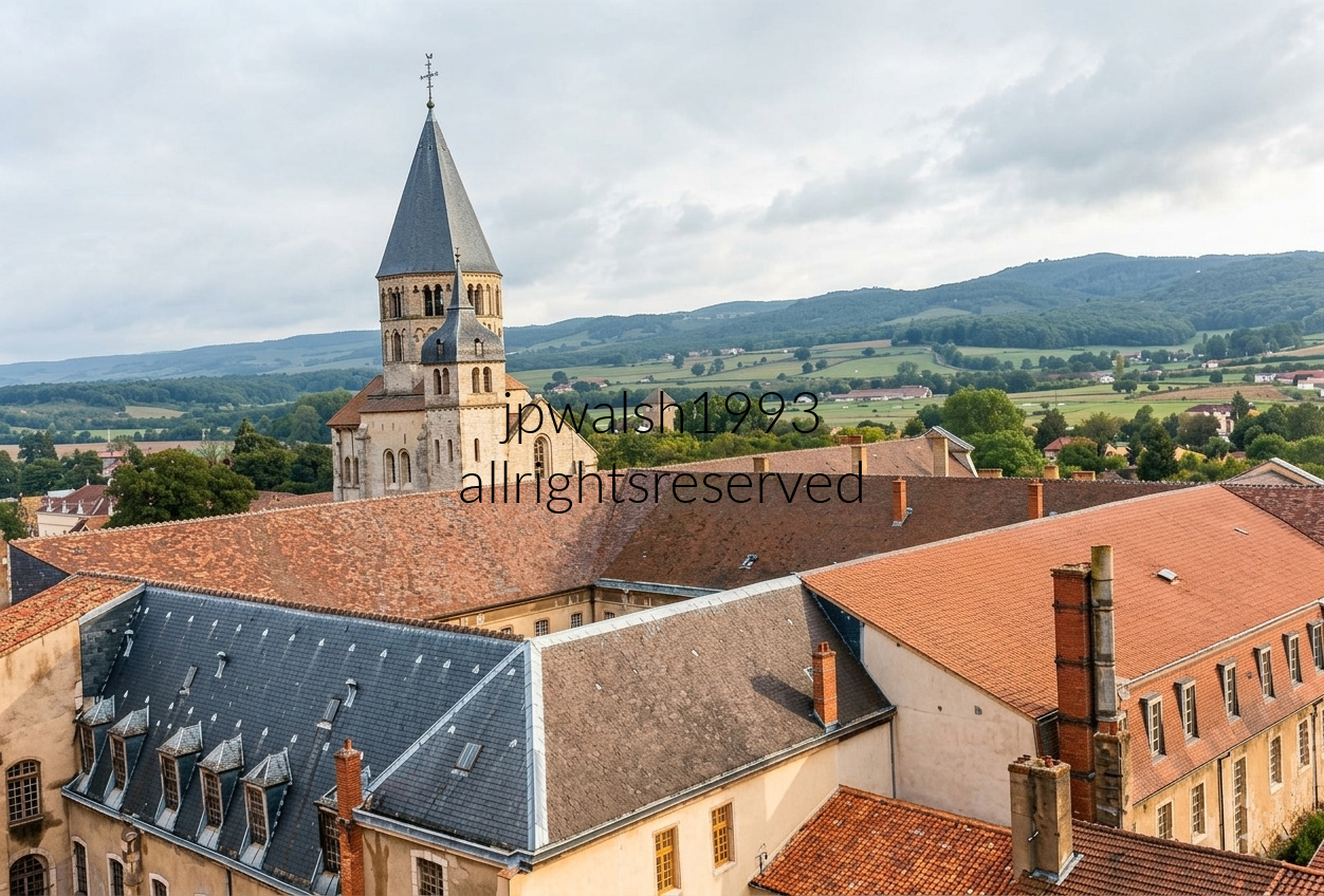
Historic Cluny Abbey stands in the town of Cluny in Saône‑et‑Loire, Burgundy.
The octagonal Eau Bénite Tower—capping the south transept—is one of the few surviving original elements of Cluny III.
Beneath the tower’s right side sits the smaller, rounded medieval Clock Tower.
At its destruction during the French Revolution, Cluny III was the second‑largest church in Christendom after St. Peter’s in Rome.
The multi‑winged complex with red‑tiled roofs in the foreground represents the 18th‑century classical abbey buildings and monastic palace.
The photo was taken from the top platform of the 11th‑century Tour des Fromages, a former watchtower offering a panoramic view over the abbey roofs toward the Burgundy hills.
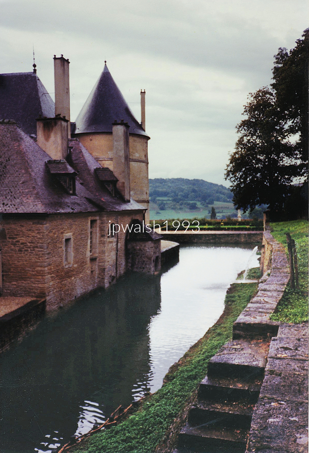
The castle was founded in the 12th century by Renaudin de Bussy and rebuilt in the 14th century, establishing the core medieval structure that still anchors the site.
In the 1520s, Renaissance galleries were added, giving the château its first major stylistic expansion. Further alterations followed during the reigns of Henri II (1547–1559) and Louis XIII (1610–1643), layering new architectural ambitions onto the older estate.
Roger de Rabutin, Comte de Bussy (1618–1693), fell into disgrace at court and was ordered by Louis XIV to withdraw to his estate. During this enforced exile, he wrote his Histoire amoureuse des Gaules, a chronicle of courtly love affairs that generated even more scandal. The book earned him a stay in the Bastille, after which he was released on the condition that he return to silence and self‑exile at the château—where he lived for the next 17 years.
Bussy‑Rabutin died at the château in 1693. Along with the setting, his remarkable collection of portraits—depicting historical and contemporary French figures—was a highlight of our visit, each image serving as a visual prompt for the stories he told and the world he inhabited.
The château was restored in the 19th century and acquired by the French state in 1929, securing its preservation and opening its layered history to modern visitors.
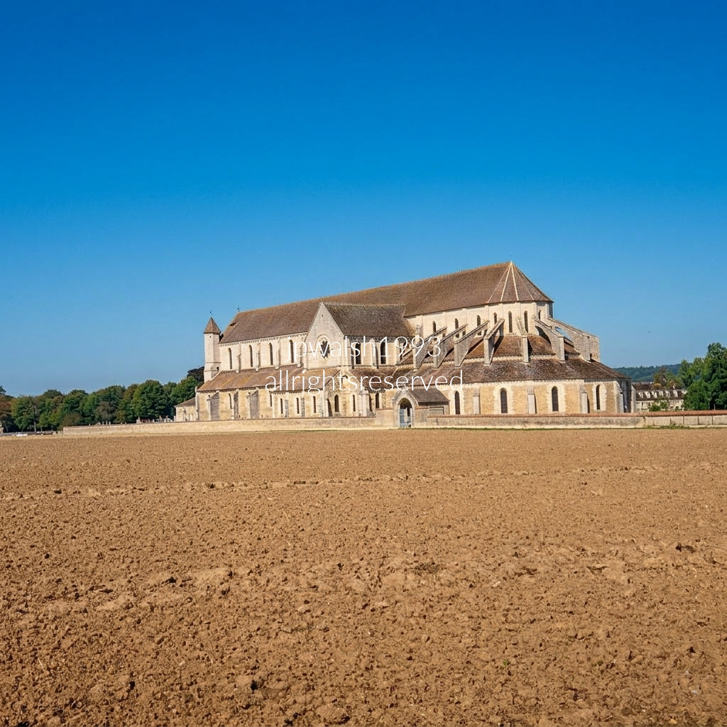
The commune and famous Cistercian Pontigny Abbey were founded in 1114 by Hugh of Mâcon as the second daughter house of Cîteaux Abbey in Burgundy, France.
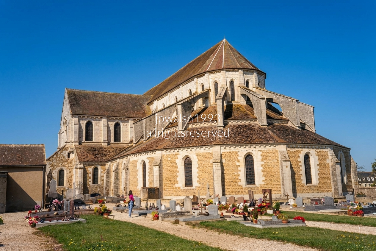
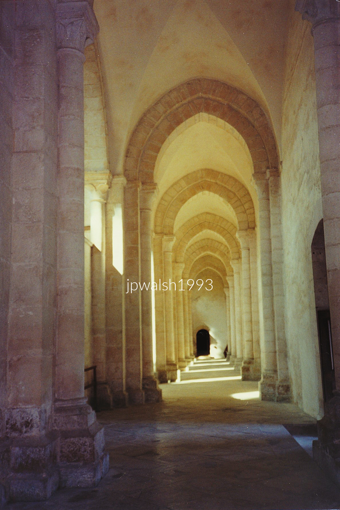
The main structure of Pontigny Abbey’s church—including the porch, side aisles, and nave—was built between 1137 and 1150. The nave contains the first ribbed vault constructed in Burgundy, marking a key step in the region’s shift from Romanesque to early Gothic engineering. In the 1190s, the original flat chevet was demolished and replaced with the Gothic choir that still stands today.
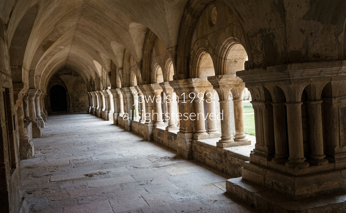
Founded in 1118 by Saint Bernard of Clairvaux, Fontenay is one of Europe’s oldest and most intact Cistercian abbeys. Its architecture embodies the order’s strict commitment to simplicity and austerity, avoiding decorative carving, stained glass, or any visual excess that might distract from prayer and work.
The Romanesque arches and vaulted ceilings frame the central cloister courtyard, a calm, geometric core that organizes monastic life.
This courtyard linked the church, chapter house, and scriptorium, serving as a quiet passageway for reading, reflection, and meditative walking—an architectural expression of the Cistercian pursuit of ordered, contemplative living.

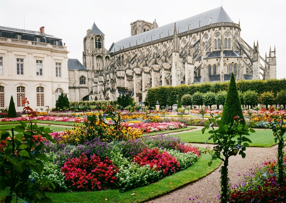
Construction of the High Gothic masterpiece began around 1195 under Archbishop Henri de Sully. On this site, on Christmas Day 1137, King Louis VII was crowned alongside his young wife, Eleanor of Aquitaine. In April 1422, during the Hundred Years’ War, the future Charles VII—then the “King of Bourges”—married Marie d’Anjou inside this cathedral before later being crowned at Reims in 1429. The building endured major upheavals: Protestant Huguenots captured Bourges in the 1560s and heavily desecrated the cathedral, and during the French Revolution in 1791 it was converted into a “Temple of Reason.” Through all of this turmoil, the cathedral’s celebrated 13th‑century stained‑glass windows survived intact.
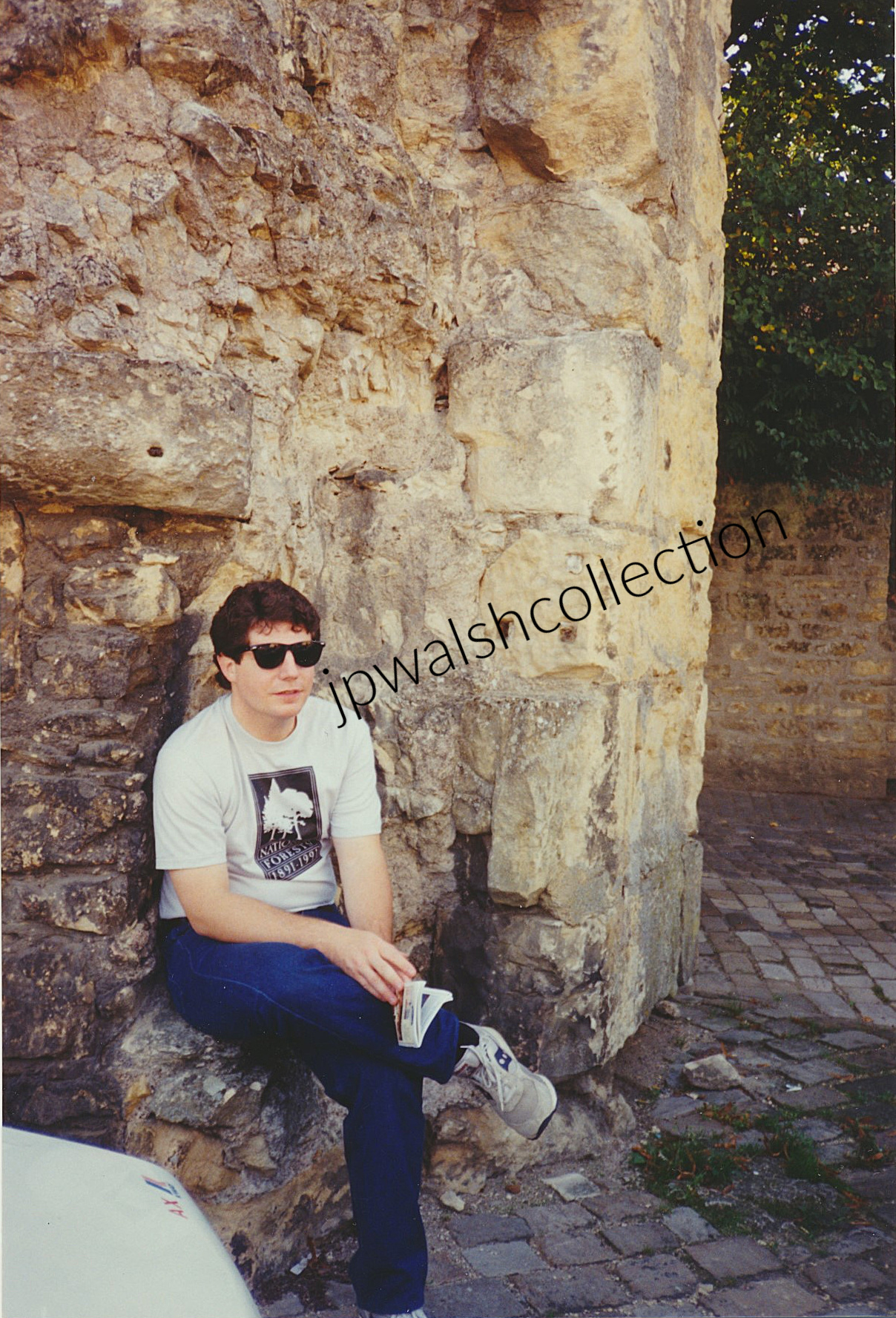
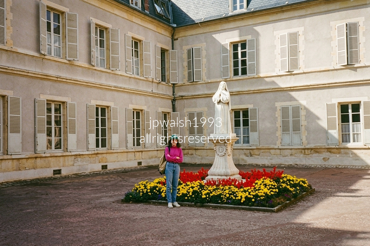
September 1993. Nevers, France, at St. Gildard Convent.
The historic courtyard of the Convent of Saint Gildard in Nevers, France, serves as the heart of the motherhouse of the Sisters of Charity of Nevers, the religious community where Saint Bernadette Soubirous of Lourdes lived as a nun from 1866 until her death at the age of 35 in 1879. Today, the convent remains both a small active religious community and a pilgrimage destination, welcoming visitors who come to honor the saint of Lourdes whose incorrupt body rests in the chapel. Founded in 1680, the congregation transferred its central house permanently to Saint Gildard in Nevers in 1856.
At the center of the courtyard stands a stone statue of Saint Bernadette, depicted in her religious habit and absorbed in prayer. In the mid-19th century, the bishop of Nevers entrusted this site of a former 13th-century Benedictine abbey and priory, largely destroyed in the French Revolution, to the Sisters of Charity, who dismantled the remnants and used the ancient stone blocks to construct the foundations and walls of the new Saint Gildard motherhouse and novitiate. In July 1866, after spending 8 years in Lourdes following the 18 Marian apparitions, Bernadette arrived here to spend the remaining thirteen years of her life as a nun.
The convent has been preserved in its original 19th-century architectural form so that with its courtyard, stone facades, tall windows, and slate roofs, it appears remarkably similar to how it looked when Bernadette lived here.
The Sisters of Charity of Nevers, formally known as the Sisters of Charity and Christian Instruction, were founded by a Benedictine priest who intentionally designed the order of local young women to care for the sick, feed the poor, and educate young, impoverished girls in late 17th-century France. The sisters had been working in Lourdes for a decade when Bernadette was born in 1844. In Lourdes, they followed their charism by operating the local poorhouse, a small hospital infirmary for the destitute, and a charitable elementary school specifically for impoverished young girls. Bernadette became an indigent resident of the sisters’ poorhouse. Under their care, she finally learned to read and write and received religious instruction. During this period, in the midst of the grotto apparitions, Bernadette received her First Holy Communion at these Sisters’ hospice chapel on June 3, 1858. Eight years later, she entered the congregation and traveled the hundreds of kilometers to Nevers.
When Bernadette arrived at Saint Gildard, the convent housed roughly 300 sisters, including administrators, novices, postulants, retired members, and those receiving medical care. Suffering from chronic illness, including severe tuberculosis, Bernadette spent much of her time assigned to the infirmary community. She died there in 1879 after a prolonged illness.
By the beginning of the 20th century, the Sisters of Charity of Nevers numbered in the several thousand and operated missions across France and abroad. Today, as is the story with most religious communities in the wake of Vatican II, the order boasts a total of about 150 -250 members worldwide. While there were 300 sisters at Saint Gildard in Bernadette’s day, less than 10 sisters remain today. Almost ironically, the legacy of an active and educated congregation is best known for one of its least educated and inactive members.

This stained‑glass window captures one of the most electrifying moments in the epic of Joan of Arc. It is part of a modern cycle in the town church of Saint‑Pierre de Saint‑Pierre‑le‑Moûtier, crafted in the mid‑20th century by the Mauméjean brothers. The artwork commemorates an event that unfolded in this very town — and inside this very church — during the Hundred Years’ War.
On November 4, 1429, Joan led a French royal force to seize Saint‑Pierre‑le‑Moûtier, a fortified stronghold held by Anglo‑Burgundian troops. The attack stalled under fierce resistance. French soldiers broke formation and began to fall back. Amid the chaos, Joan’s officer Jean d’Aulon — wounded during the fighting — suddenly realized she had been left almost alone near the moat with only a handful of men.
D’Aulon mounted a horse, rode to her, and urged her to retreat before she was killed or captured. Joan removed her helmet and shouted that she was not alone. The window preserves her words across its lower banners: “+ J’AI EN MA / COMPAGNIE . . CINQVANTE MILLE / DE MES GENS.” She claimed she had fifty thousand of her people with her — the heavenly host of angels she believed fought at her side. D’Aulon saw only four or five soldiers, but Joan’s unshakable resolve reignited the army.
Joan ordered her men to gather wood and brush to build a makeshift bridge across the moat. The retreating French troops saw The Maid standing her ground, turned back, and launched a sudden, overwhelming assault that broke the defenses and captured the town. The upper portion of the window shows Joan on her white horse in the heat of battle, while the faces gathered in the arc above represent the “fifty thousand” she invoked — angels, Saint Michael, and the voices she believed guided her.
Following the victory, Joan prevented her troops from sacking the town. She then spent several days praying inside this church before marching on to her next campaign, leaving behind both a military triumph and a moment of mystic conviction that the Mauméjean window preserves with vivid force.
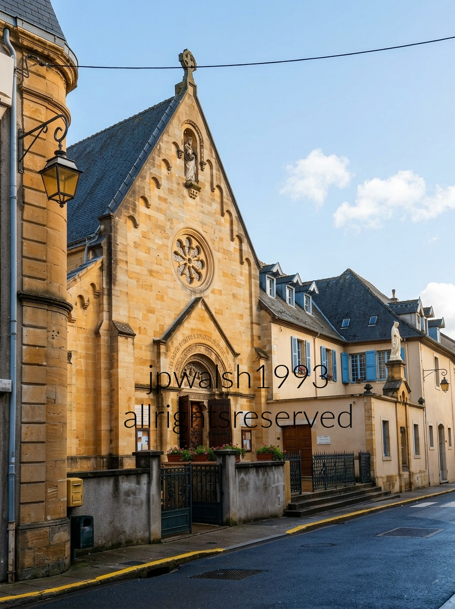
September 1993— Chapel of the Apparitions, Paray-le-Monial, France.
Located in southern Burgundy’s Charolais‑Brionnais region, Paray‑le‑Monial reflects more than a thousand years of monastic influence. A Benedictine abbey was founded here in 973, and the Cluniac monks served as lords of the town until the 1789 Revolution, leaving the region dense with Romanesque churches and monastic architecture.
Visitors often gravitate to the 12th‑century Basilica and the 16th‑century Tour Saint‑Nicolas, but the spiritual core for pilgrims is the Chapel of the Apparitions at the Convent of the Visitation Sainte‑Marie. Here, Margaret Mary Alacoque received four major visions of the Sacred Heart of Jesus, establishing the chapel as an international pilgrimage site.
During our two‑day stay, we lodged with pilgrims from several countries. Meals were taken in common, conversations moved across languages, and reflections were shared within a living devotional tradition that has persisted for centuries.
The Visitation nuns of 17th‑century Paray‑le‑Monial—many from aristocratic families—belonged to an order founded by Jeanne de Chantal (1571–1641), emphasizing gentleness, interior devotion, and service to the sick and poor. Margaret Mary, of humble origins from nearby Verosvres, entered the convent on May 25, 1671, and professed final vows on November 6, 1672. Among the roughly forty nuns, some had little interest in mystical experiences, and few welcomed visionaries.
Between 1673 and 1676, Christ appeared to Margaret Mary in this chapel, presenting His heart and requesting a feast in its honor on the Friday after Corpus Christi. Each vision carried a distinct message. In late 1674, Christ promised her an understanding spiritual director. In 1675, the convent received Père Claude de la Colombière (1641–1682), a young Jesuit from Paris—shrewd, brilliant, and decisive. He confirmed her path and maintained contact with La Mère de Saumaise, the prudent convent superior who ordered Margaret Mary to record her experiences in letters that survive today.
In one letter, Margaret Mary recounts Christ’s assurance of a faithful guardian angel placed at her side: “Ma fille, ne t’afflige pas, car je te veux donner un gardien fidèle qui t’accompagnera partout et t’assistera dans toutes tes nécessités intérieures…”
By 1686, as novice mistress, Margaret Mary instructed her novices to place images of the Sacred Heart on the altar. The practice spread through the community, giving visual form to a devotion that would eventually become global.
Margaret Mary died in 1690 at age 43. She was beatified in 1864 by Pius IX and canonized in 1920 by Benedict XV. Claude de la Colombière was beatified in 1929 by Pius XI and canonized in 1992 by John Paul II.
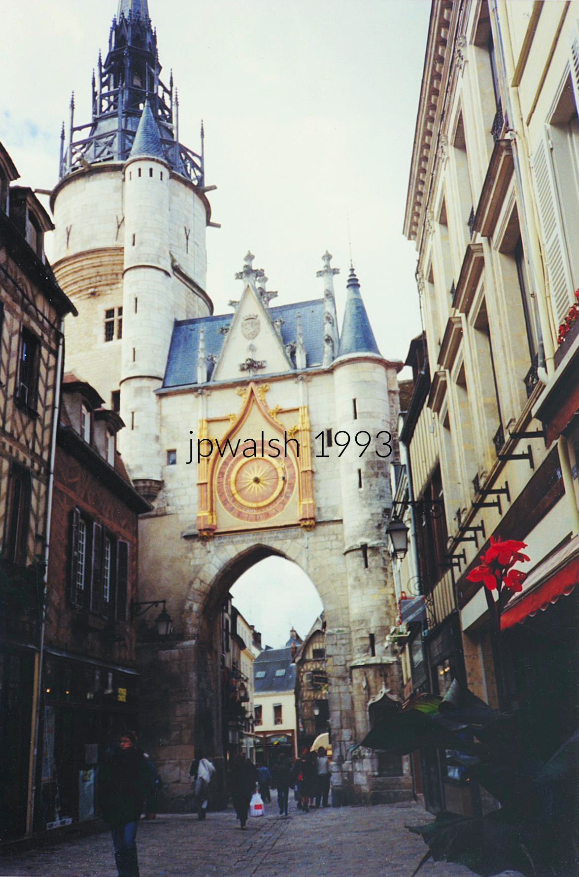
Auxerre began as the flourishing Gallo‑Roman center Autissiodorum. The Via Agrippa, a major first‑century road, ran directly through the settlement and crossed the Yonne, anchoring the town in the imperial transportation network.
Auxerre became a bishop’s seat in the 200s and later a provincial capital of the Roman Empire. By the 400s, it had developed into a cathedral town, marking its transition from Roman administrative hub to Christian stronghold.
A “modern” Auxerre emerged in the 11th–12th centuries, defined and protected by a state‑of‑the‑art fortified wall. This medieval enclosure shaped the town’s footprint and still influences its street plan.
In the Old Town, the Clock Tower has been marking time since the 15th century. It began life as a prison before becoming a clock and belfry. A chamber attached to the tower houses the mechanism installed in 1483, crafted by a clockmaker known only as Jean.
The clock features two hands: The clock has a solar hand that goes around the face in 24 hours and a lunar hand which is three-quarters slower compared to the other. This gives the passerby both sun and moon times. see – https://www.ot-auxerre.com/destination-lauxerrois/destination-history/must-see-monuments/the-clock-tower-ans-its-astronomical-clock/ – retrieved Aug. 20, 2025.

The artist executed the decoration of Autun Cathedral, including these capitals. Here, Deb views three kings sleep beneath their counterpane, roused by an angel’s single touch.
When the cathedral’s sculptural program was completed around 1135, church architecture was beginning its shift toward the Gothic, the style that would define medieval French building for the next 250 years — including Notre‑Dame de Paris in 1163.

The city spreading out below the towers is Autun, looking northwest toward the Arroux River valley and the distant hills.
The stone towers at the right edge of the frame belong to the facade of Autun Cathedral (Cathédrale Saint‑Lazare d’Autun).
These twin towers are Romanesque, marked by rounded arches, heavy masonry, and the sturdy forms typical of medieval Burgundy.
Ground broke around 1120, and the core building campaign concluded around 1146.


The west entrance of Saint‑Lazare Cathedral in Autun, Burgundy, is anchored by one of the defining masterworks of Romanesque sculpture: the Last Judgment tympanum carved by Gislebertus between ca. 1120 and 1135. His signature—Gislebertus hoc fecit (“Gislebertus made this”)—appears directly beneath Christ’s feet, an extraordinary act of artistic self‑assertion in the 12th century.
The tympanum’s expressive carving, with its elongated figures and dramatic cosmic scale, remains one of the most celebrated achievements of Romanesque art. The original stone trumeau, however, did not survive intact; centuries of wear and damage led to its replacement with the present 19th‑century reconstruction during major restoration campaigns.
For nearly 900 years, this doorway has been crossed by millions of medieval pilgrims traveling the routes of Burgundy. It has also served as a stage for notable historical figures:

In the commune of Monthelon, Burgundy’s Saône‑et‑Loire department, the Château de Monthelon rises as a 15th‑century fortress turned residence. Its rectangular plan, steep tile roofs, and corner towers reflect the late‑medieval balance between defense and domestic comfort. Once a tactical stronghold, it gradually softened into a rural estate surrounded by farmland and quiet hills.
After her husband, Baron de Chantal, died in a hunting accident in 1601, the young widow Jane Frances de Chantal was forced by her father‑in‑law, Guy de Rabutin, to manage the château under his harsh rule. Amid grief and tyranny, she turned her suffering into compassion—caring for the sick and poor around Monthelon. Her years here shaped her spiritual resolve and led to her meeting with Saint Francis de Sales. Guided by his counsel, she left Monthelon in 1610 to co-found the Order of the Visitation, later canonized for her faith and mercy.
In front of the castle stands a roadside crucifix—one of countless croix de mission erected in the 19th century after the Revolution. These mission crosses marked the revival of Catholic devotion in rural France, symbols of endurance and renewal echoing the saint’s own story.
Now reborn as Le Château de Monthelon, the site hosts scores of artists each year in an international creative residency. The medieval stones that once sheltered a grieving widow now house painters, sculptors, and performers—continuing the château’s long tradition of transformation and spirit.
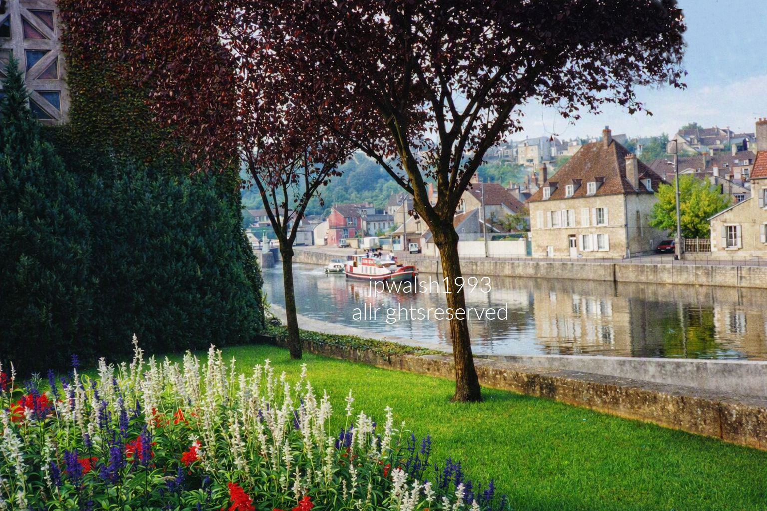
Clamecy, a historic commune in the Nièvre department of Burgundy, sits where the Yonne River runs alongside the Canal du Nivernais. For nearly four centuries, the town was celebrated as the logging capital of France: timber cut in the Morvan forests was floated down this exact river system to supply Paris, operating continuously from the mid‑16th century into the early 20th century. The boat cruising the water is a recreational canal pleasure barge, part of the region’s modern leisure navigation. The photograph is composed from a scenic terrace overlook within Parc Vauvert, the city’s beautiful municipal park and flower garden.
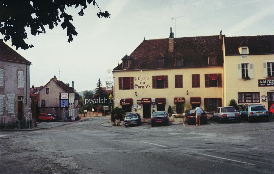
It took 24 years for me to reach this Burgundian hilltown. I first learned of its Romanesque Basilica of Sainte‑Marie‑Madeleine, built in 1120, from Kenneth Clark’s Civilisation book and television series in 1969. I tried to visit in 1985 as a day trip from Dijon, but the route wasn’t direct.
In 1993, we rented a car and finally made the drive, staying at this relais just below the hill. The basilica — long imagined — was now just up the road.
One afternoon we had an extraordinary meal at L’Espérance, in the Vézelay countryside. Within its easy formal atmosphere, its graceful and exacting service, and its supra‑creative courses, I learned what it means to dine in a three‑star Michelin restaurant: to order, receive, and appreciate a culinary work of art.
Marc Meneau (1943–2020) oversaw everything — the kitchen, the room, the rhythm — and afterward received our thanks with quiet generosity. It was clear why he was counted among the great chefs of the world.
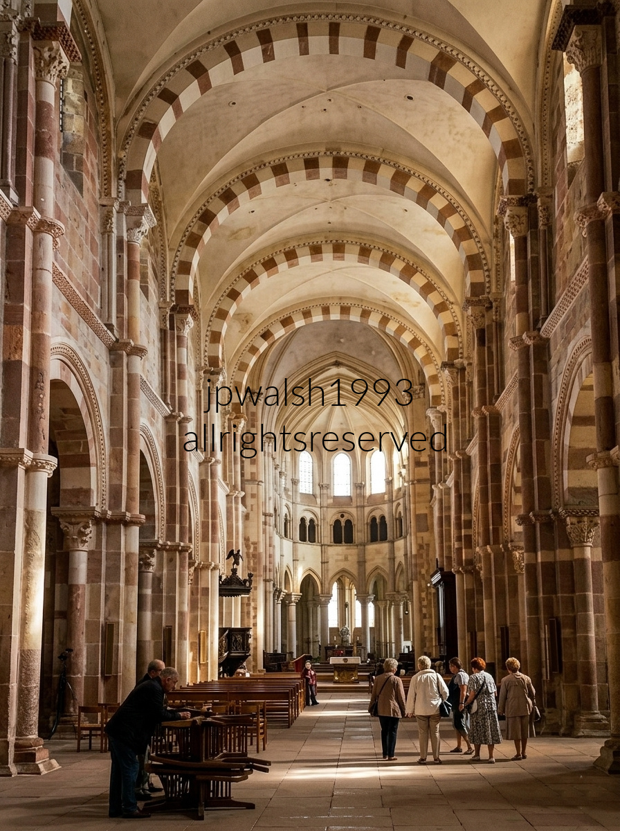
Because Vézelay Abbey holds some of the most celebrated Romanesque sculpture in Europe—especially its vast 12th‑century narthex tympanum of the Mission of the Apostles—we spent significant time in the basilica. Vézelay is a cradle of medieval faith and a historic launching point for the Second Crusade as well as the Camino de Santiago pilgrimage.
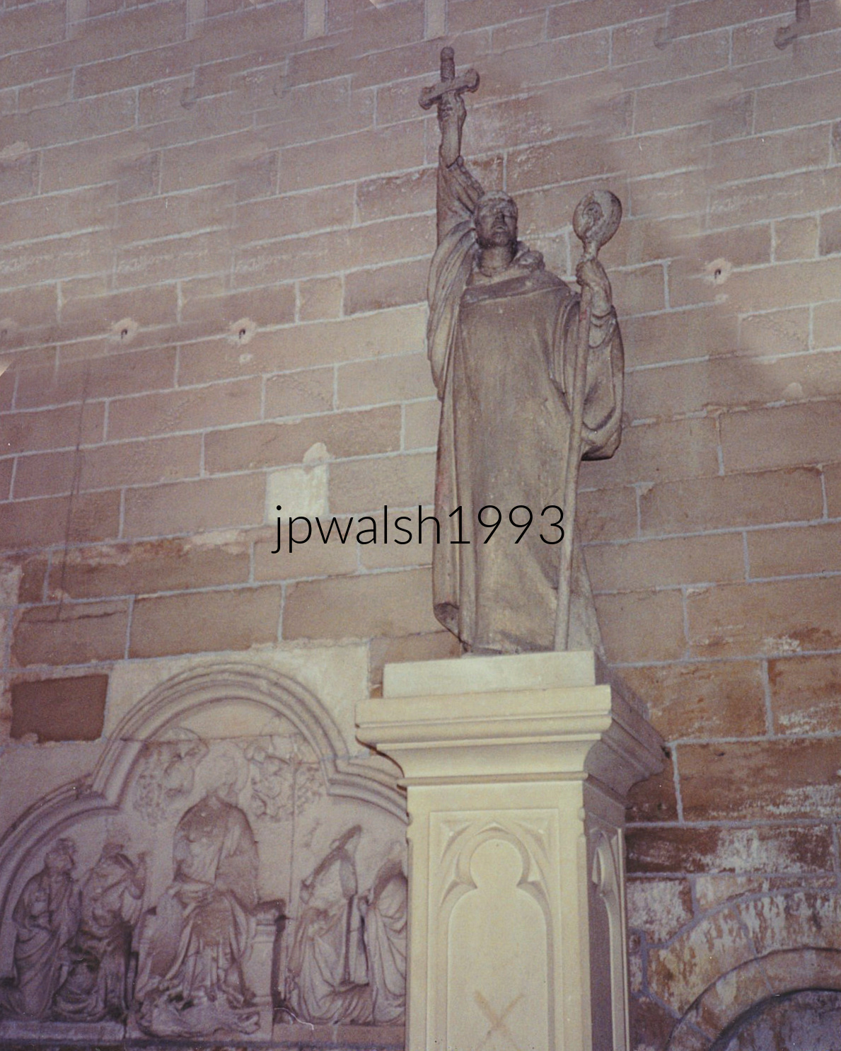
On March 31, 1146, Saint Bernard delivered his fiercest sermon outside the gates of Vézelay Abbey, calling Europe to the Second Crusade. Standing on a hillside beside King Louis VII and Queen Eleanor of Aquitaine, he drove thousands of knights to enlist. The crowd’s fervor ran so high that they ran out of cloth for crusader crosses, and Bernard tore strips from his own monastic robes to supply more.
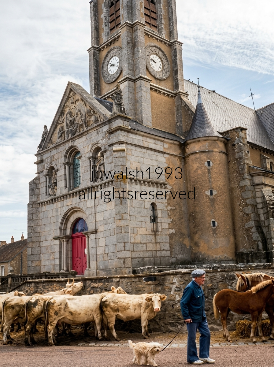
The Church of St. George stands at the center of historic Quarré‑les‑Tombes in Burgundy, on a sanctuary site dating to the 7th or 8th century.
In the 18th century, Curé Blaise Bégon led a major renovation that enlarged the nave and transept and completely rebuilt the bell tower.
Further work under Curé Henry in the 19th century gave the church its final neo‑Romanesque facade.
Seen over the low wall are ancient Merovingian limestone sarcophagi surrounding base of the church—over 112 coffins dating from the 8th to 10th centuries.
Historically, as many as 2,000 sarcophagi crowded the churchyard; when excavated, all were found completely empty.
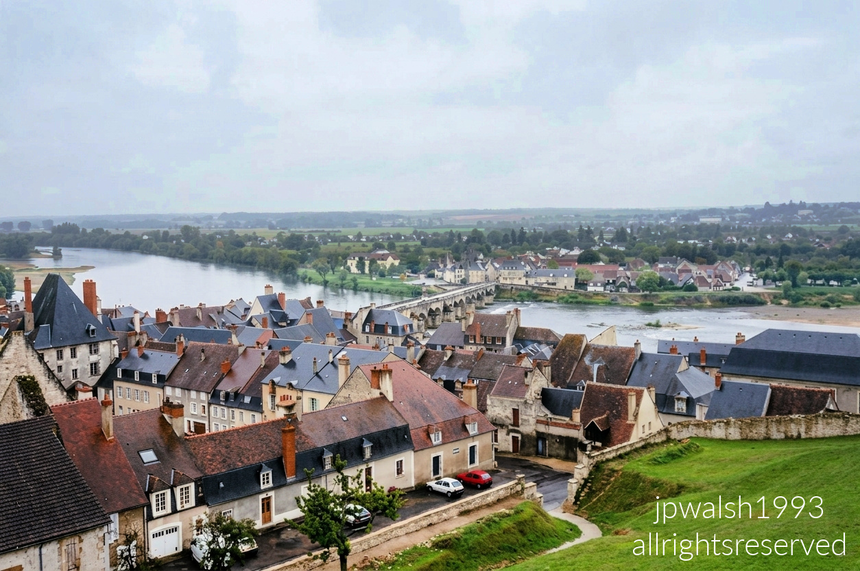
From the historic Ramparts of La Charité‑sur‑Loire, the panorama drops directly over the town’s medieval slate rooftops to the Loire River and the iconic Pont de Pierre. Situated in the Nièvre department of Burgundy, La Charité‑sur‑Loire grew around a massive 11th‑century Cluniac priory, becoming a fortified stronghold and a major gateway along the pilgrimage route to Santiago de Compostela.
The stone bridge spanning the Loire’s wide, shallow channels was built in 1520 by Prior Jean de la Magdeleine de Ragny. As one of the few permanent fortified crossings of the Loire, it became a fiercely contested military chokepoint. Less than a century earlier, its wooden predecessor was so heavily fortified by Anglo‑Burgundian forces that Joan of Arc famously laid siege to the town in 1429—and failed to capture it. Today, the Pont de Pierre stands as one of the oldest and most beautiful historic bridges along the entire Loire.
Just upriver from heavyweight appellations like Sancerre and Pouilly‑Fumé, La Charité‑sur‑Loire anchors its own dedicated wine sub‑region: the Côtes de la Charité. The surrounding vineyards trace their origins to the Middle Ages, when Benedictine monks of the great priory cultivated these slopes. Their wines were so esteemed that they were shipped downriver to be served at the royal courts of the Dukes of Burgundy in Paris.
Though the historic vineyards were nearly wiped out in the late 19th century by the catastrophic phylloxera plague, a syndicate of local vignerons revived the ancient slopes in the 1980s. Today, winemakers from neighboring Sancerre regularly acquire parcels along the Côtes de la Charité to craft distinctive, small‑batch bottles that honor the region’s deep medieval roots.
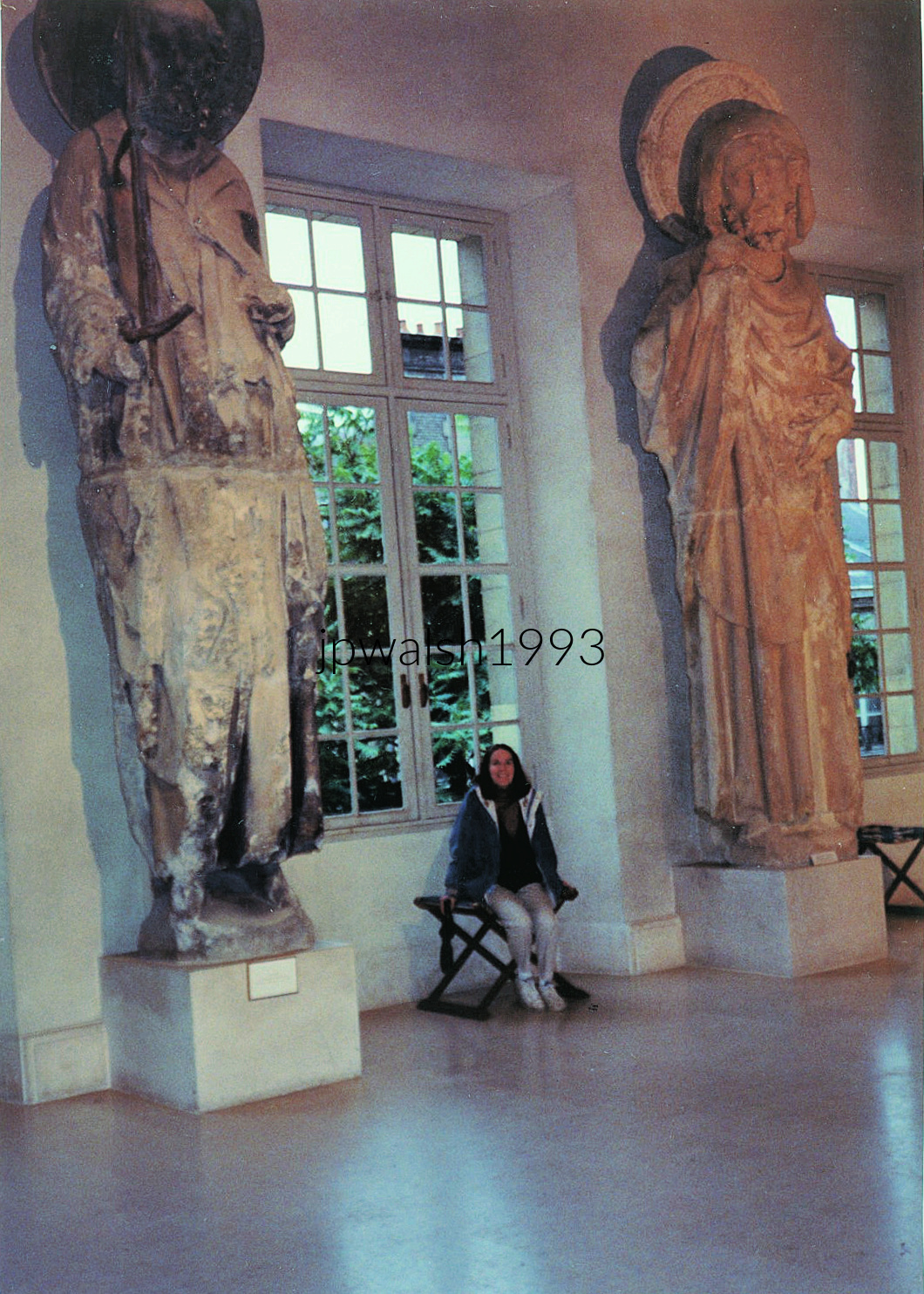
The Palais du Tau served as the residence of the Archbishop of Reims, standing directly beside Notre‑Dame de Reims, the cathedral where the kings of France were crowned. Its history is inseparable from the monarchy: French kings stayed here the night before their coronation and returned afterward for the ceremonial banquet.
The first recorded coronation banquet at the palace took place in 990, and the last in 1825, marking nearly nine centuries of royal ritual anchored to this building.
The palace chapel, dating from 1207, is the principal medieval survivor. The rest of the palace was rebuilt in Gothic style between 1498 and 1509, reshaping the structure to match the cathedral’s architectural language.
Between 1671 and 1710, Jules Hardouin‑Mansart (1646–1708) and Robert de Cotte (1656–1735) transformed the palace into its present Baroque form, giving the Palais du Tau the monumental appearance seen today.
France—Paris (December 1996):

The Église Saint‑Paul‑Saint‑Louis rose between 1627 and 1641, commissioned by King Louis XIII, who personally laid the foundation stone. Jesuit architects Étienne Martellange and François Derand modeled its bold façade and soaring interior on Rome’s Church of the Gesù, marking Paris’s first full embrace of Baroque architecture. Cardinal Richelieu celebrated the inaugural mass on May 9, 1641, sealing the church’s political and spiritual stature.
Foundations, Crypts, and Notable Burials
The church stands on ground once occupied by Saint‑Paul‑des‑Champs, its cemetery tied to figures such as François Rabelais and François Mansart. Beneath the Baroque nave lie crypts holding 17th‑ and 18th‑century Jesuits, a quiet record of the order’s long presence in the Marais.
Royal Relics and Revolutionary Upheaval
For decades the church safeguarded the Hearts of Louis XIII and Louis XIV, relics later desecrated during the French Revolution, when anti‑royalist fury swept through Paris’s religious institutions.
Delacroix and the Romantic Revival
In 1827, Eugène Delacroix received the commission for Christ in the Garden of Olives, a dramatic Romantic canvas that still hangs inside the church, adding a 19th‑century artistic layer to the Jesuit Baroque.
War, Occupation, and Survival
The surrounding Marais, long the heart of Paris’s Jewish quarter, suffered deeply under Nazi occupation. While nearby buildings were targeted, the church itself survived both World Wars structurally intact, remaining a steady spiritual anchor through decades of turmoil.

The Musée Marmottan Monet sits quietly in a residential pocket near the Bois de Boulogne, far from the crowds that pack the Louvre or Orsay. Inside this former private mansion is the world’s largest collection of works by Claude Monet, the leading public collection of Berthe Morisot, and luminous pieces by Renoir, Degas, Manet, Pissarro, and Rodin.
From Hunting Lodge to Private Mansion
The building began as a hunting lodge for the Duke of Valmy, later purchased in 1882 by Jules Marmottan. His son, Paul Marmottan, transformed the property into a refined private residence and assembled a distinguished collection of Renaissance and Napoleonic art.
A Gift to the Nation
Upon Paul’s death, he bequeathed the mansion and his collection to the Académie des Beaux‑Arts, which opened it as a museum in 1934. The institution retained the intimate scale of a private home, giving visitors the rare feeling of wandering through a collector’s salon rather than a state museum.
Monet’s Legacy Arrives
In 1966, Michel Monet, the painter’s son and heir, donated his father’s personal collection—a monumental act that reshaped the museum’s identity. Masterworks such as Impression, Sunrise anchor the galleries, offering an unparalleled look at Monet’s evolution from early landscapes to late, immersive water‑lily canvases.
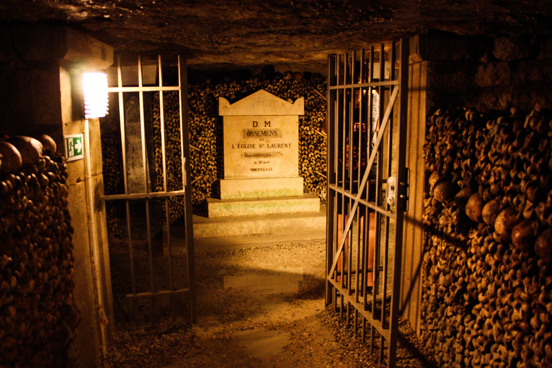
A dim, narrow corridor in the Paris Catacombs, its left and right walls built entirely from human remains. Neatly banded rows of skulls form decorative borders against thousands of tightly stacked femurs and tibias. An open iron gate frames a small inscribed stone marker deeper in the passage.
By the late 18th century, Parisian graveyards had become dangerously overfilled. Shallow burials leaked into water wells and streets, producing toxic odors and contaminating water supplies. In 1785, officials began exhuming millions of remains and transferring them into these abandoned limestone quarries beneath the city that were permanently closed in 1776.
The bones shown here were moved from Saint‑Laurent on August 17, 1863, during Baron Haussmann’s massive urban redesign. Although the Catacombs formally stopped receiving cemetery clearances around 1860, isolated transfers continued when new boulevards required structural excavation.
These later deposits—rare but necessary—mark the end of Paris’s centuries‑long struggle with overcrowded burial grounds. The Catacombs became both a sanitary solution and a monumental archive of the city’s dead.
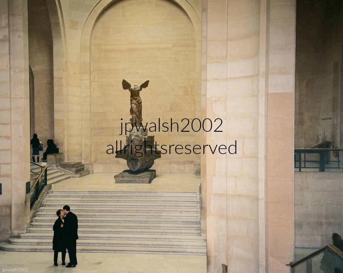


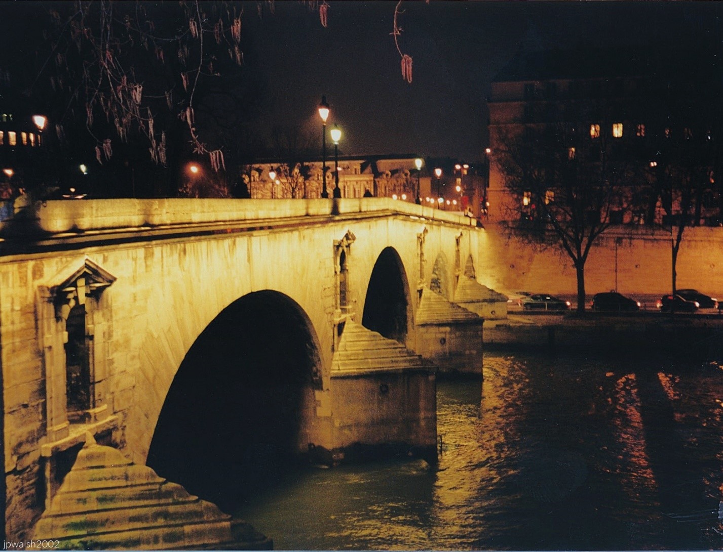
Looking from the Île Saint‑Louis toward the Right Bank, one sees one of Paris’s oldest surviving stone bridges. It was the first bridge built after early‑17th‑century aristocrats pushed for development of the island to extend their neighborhood across the Seine.
The Pont Marie, begun in 1614 and opened in stages through the 1630s, is among the oldest bridges in Paris. In its early decades, houses stood directly on the bridge, a common practice before modern traffic and safety concerns made such construction impractical.
The Pont‑de‑la‑Tournelle, which continued the line of the Pont Marie, was completed in 1654, linking the Île Saint‑Louis to the Left Bank and completing the island’s integration into the city’s circulation.
The bridge’s structure has remained substantially unchanged since the 18th century. Each pedimented arch is distinct, and the niches in the abutments—designed to hold statuary—have always remained empty, giving the Pont Marie its slightly austere, unfinished character.
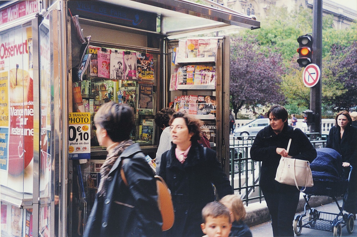
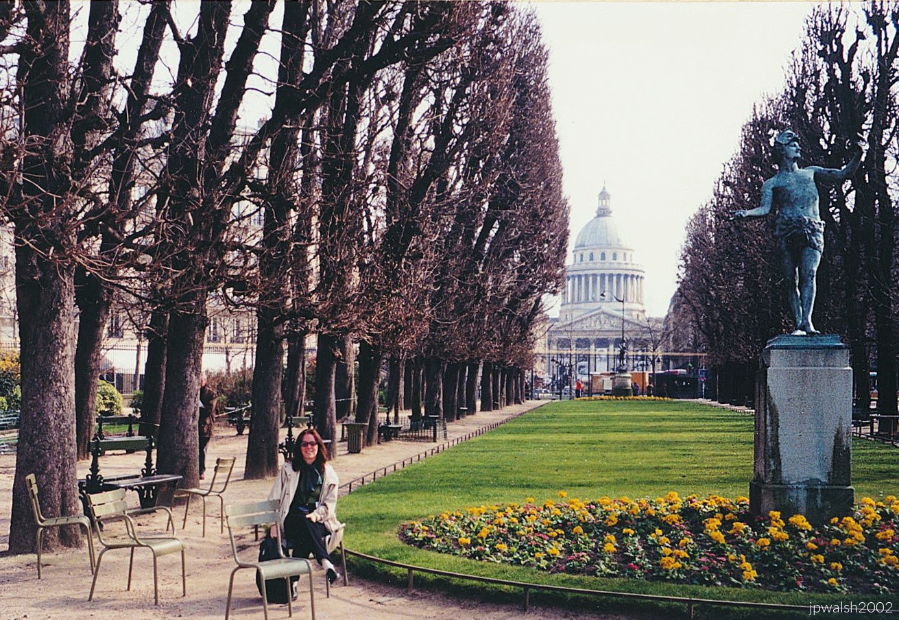
The Jardin du Luxembourg stretches eastward toward the Panthéon, its neoclassical dome rising over the Latin Quarter and anchoring the long axial view. Symmetrically manicured rows of horse‑chestnut trees lines the central pelouse, while a circular flower bed at the base of the statue adds a burst of color to the gravel paths. Scattered throughout are the park’s signature sage‑green steel chairs — the Chaises du Luxembourg — arranged for public use along the walkways. On the right stands the 1868 bronze Statue of the Greek Actor (L’Acteur Grec) by Charles‑Arthur Bourgeois, elevated on a tall stone pedestal and set against the ordered geometry of one of Paris’s most iconic gardens.


Les Halles de Dourdan in France near Paris has served as the town’s commercial anchor for nearly eight centuries. Regional farmers and market traders still load their trucks and head into Dourdan on major market days, just as their predecessors did when the first market hall was built on this site in 1228. That original structure—an enormous timber frame later expanded in the 1480s—stood until 1829, when centuries of use left the medieval wood dangerously decayed. The town voted to demolish it and erect the current hall, completed in 1836. Nearly two hundred years later, La Halle remains the beating economic heart of Dourdan, hosting its traditional Wednesday and Saturday morning markets and drawing in farmers, fruit sellers, and traveling poultry merchants from places like Voves to offer fresh cheeses, local meats, and seasonal produce.

Looking across the Apollo Basin (Bassin d’Apollon) in the foreground toward the stone retaining wall, there are the dark ornamental lead sculptures by Jean‑Baptiste Tuby depicting Apollo rising in his chariot from the water. On the center-left side of the frame stands the monumental western façade of the Palace of Versailles (Château de Versailles), with its uniform Classical columns, arched windows, and flat balustrade roofline.
The formal boundary walls of greenery reflect André Le Nôtre’s classic jardin à la française design, emphasizing strict geometry and controlled sightlines across the landscape.
On the right, the Royal Way (L’Allée Royale)—historically the Tapis Vert (Green Carpet)—forms a massive tree‑lined promenade that slopes gently, guiding the eye from the basin toward the Latona Fountain and the palace steps. This east‑west axis traces back to the earliest layout of Versailles, when it was still a modest brick hunting lodge under King Louis XIII.
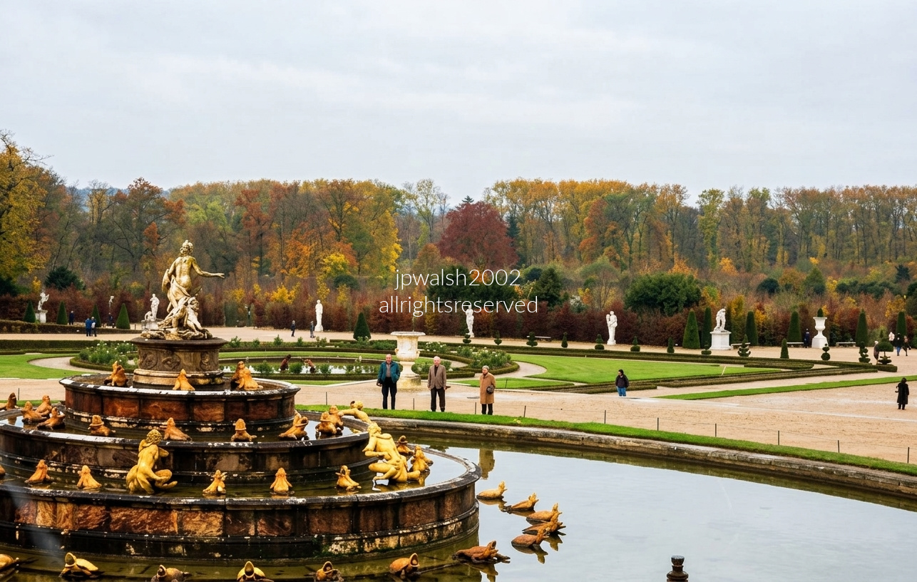
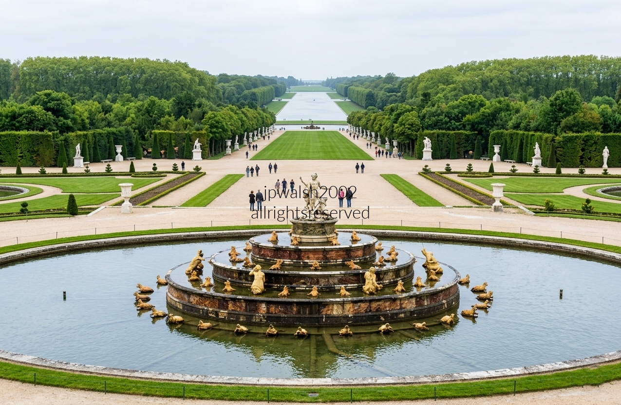
Directly along the east–west spine between the palace and the Apollo Fountain, the Latona basin anchors the royal vista with tiered marble and gilded lead figures from Ovid’s Metamorphoses.
The sculptural group shows Latona shielding Apollo and Diana from the insolent peasants of Lycia — a tale Louis XIV weaponized as a warning to his own nobility.
The fountain’s western viewpoint carries the eye across the garden’s central axis toward the Tapis Vert and the autumn woodlands that frame the Green Carpet.
André Le Nôtre planned the basin’s layout in the 1660s, establishing the geometric logic that later expansions would amplify.
Work began around 1665–1666, with the central figures completed by 1670 by Gaspard and Balthazard Marsy, whose crisp modeling set the fountain’s narrative tone.
In 1686, Jules Hardouin‑Mansart re‑engineered the fountain with massive tiered restructuring, heightening its theatrical scale and axial dominance.
Built as a centerpiece for court entertainments, the Latona Fountain declared Louis XIV’s absolutist ideology in stone, water, and myth. Having survived the Fronde, Louis XIV chose Latona’s story to signal that rebellion against the crown would be met with humiliation and divine retribution.
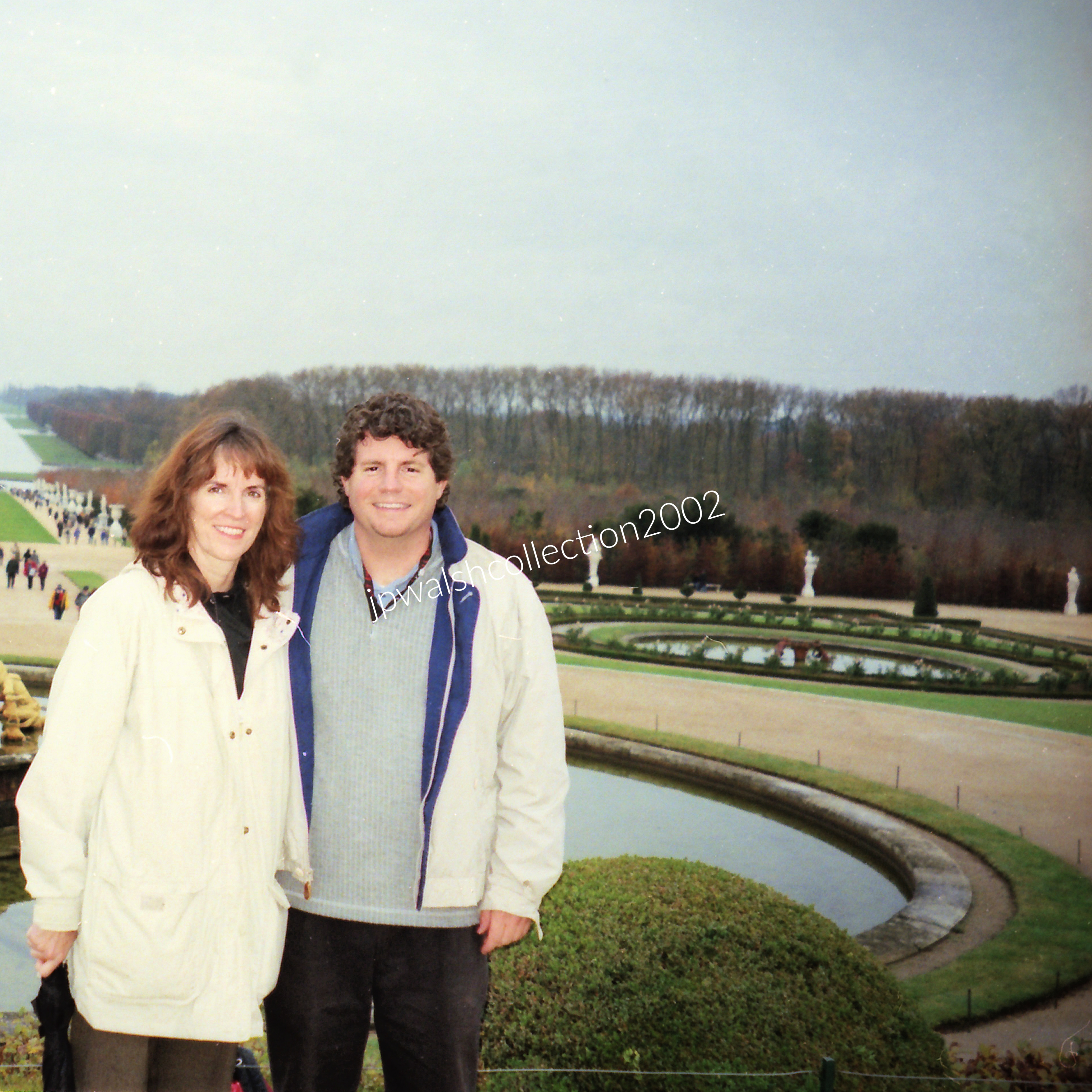
Set in the meticulously landscaped Gardens of Versailles (Jardins du Château de Versailles), the view looks across the Mirror Basin (Bassin du Miroir)—the curved stone water basin designed by Jules Hardouin‑Mansart in 1702. The vantage point overlooks the formal parterres, manicured topiary lawns, and open sandy pathways that define the historic royal estate.

Set within the French Garden of the Petit Trianon, the French Pavilion (Pavillon français) is one of Versailles’ most refined hidden gems. Commissioned by King Louis XV at the urging of Madame de Pompadour, it was built between 1749 and 1750 as a light, intimate escape from the rigid etiquette of the main palace. The king used it as a private dining and salon space, enjoying fresh produce from his nearby botanical gardens and dairy.
Designed by royal architect Ange‑Jacques Gabriel, the pavilion is celebrated as an early, flawless transition into Neoclassicism. Its plan centers on a circular rotunda flanked by four symmetrical square wings. The exterior features fluted Corinthian columns, floor‑to‑ceiling arched windows, and a balustraded roofline adorned with playful sculptures of children and seasonal flower vases.
In front of the pavilion stretch symmetrical avenues lined with manicured, leafless trees surrounding a sunken tapis vert, the embodiment of jardin à la française geometry. The circular stone water basin in the foreground is one of four matching pools punctuating the long green lawns. Set flush into the ground, it holds a central pedestal with a lead sculpture group of three playful children interacting with waterfowl and fish, crafted by Jules‑Antoine Rousseau.
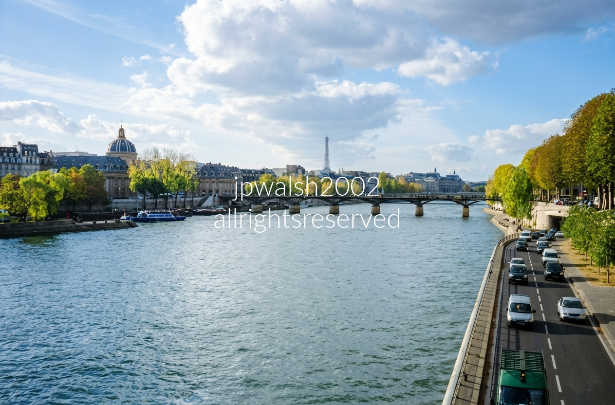
Looking downriver from Pont Neuf, the view opens toward the elegant span of the Pont des Arts, completed in 1804. A blue‑and‑white Bateau Mouche tour boat rests along the Left Bank, while the unmistakable silhouette of the Eiffel Tower rises over the skyline in the distance. On the Right Bank, the riverside roadway is the Voie Georges‑Pompidou, running parallel to the water’s edge.

Monumental stone archways and a covered vaulted passageway of the Louvre Palace (Palais du Louvre) frame a direct view into the Cour Napoléon toward the Louvre Pyramid in Paris, France. Massive fluted Classical columns rise from heavy rectangular pedestals, supporting grand semicircular arches adorned with circular medallions (roundels) and detailed relief carvings. Through the central arch, the bright open courtyard comes into view, with the geometric glass‑and‑metal Louvre Pyramid—designed by modernist architect I.M. Pei and completed in 1989—positioned perfectly at the center of the composition.
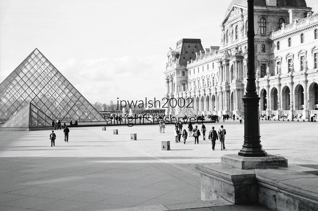
Wide-angle view of the iconic Louvre Museum courtyard (Cour Napoléon, 1852–1857) in Paris, France, rendered in a crisp, classic monochrome style. On the left side, the famous large glass-and-metal Louvre Pyramid rises majestically, its intricate diamond-shaped grid pattern sharply defined, while a smaller companion glass pyramid structure (both outdoor structures, 1989) sits further back toward the center-right of the plaza. Numerous distant visitors and tourists are scattered throughout the wide open courtyard and a dense crowd is visible in the far background near a water fountain display. Stretching across the middle to the right background is the monumental, ornate facade of the Louvre Palace (1546–1870s). The architecture is highly detailed, showcasing classic Renaissance and Baroque features including a repetitive series of elegant archways, detailed window trims, sculptural reliefs, and a distinct mansard roofline.

The second Anne Fontaine boutique to open in Paris debuted in the Marais in the late 1990s and remained in operation until its closure in 2019.

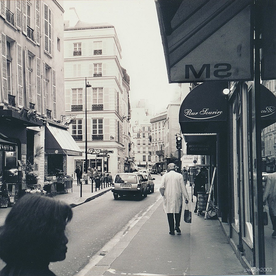

In 1895, M. Morin, an executive at Le Bon Marché, sought a distinctive gift for his wife. By then, japonisme—the influence of Japanese art and aesthetics on French fine and popular arts—had been flourishing since the 1860s and was at its height in the 1890s. Building a real pagoda beside their Paris home became a fashionable and logical expression of that cultural moment.
Materials were shipped from Asia and reassembled in Paris under the direction of architect Alexandre Marcel (1860–1928). The pagoda rose at 57 bis, rue de Babylone, on the corner with rue Monsieur in the 7th arrondissement, an unexpected sight in the middle of a residential neighborhood. It featured an array of Japanese elements—stone figures of dragons, lions, buddhas, and birds, along with distinctive Asian‑style rooflines.
In 1930, the pagoda was converted into a 400‑seat cinema, later becoming an art‑house theatre in the 1970s. After 85 years of operation, it closed in 2015, ending one of Paris’s most unusual architectural afterlives.
Sources: 1000 Buildings of Paris, Kathy Borrus (2003), p. 275; cinematreasures.org (retrieved January 4, 2023).
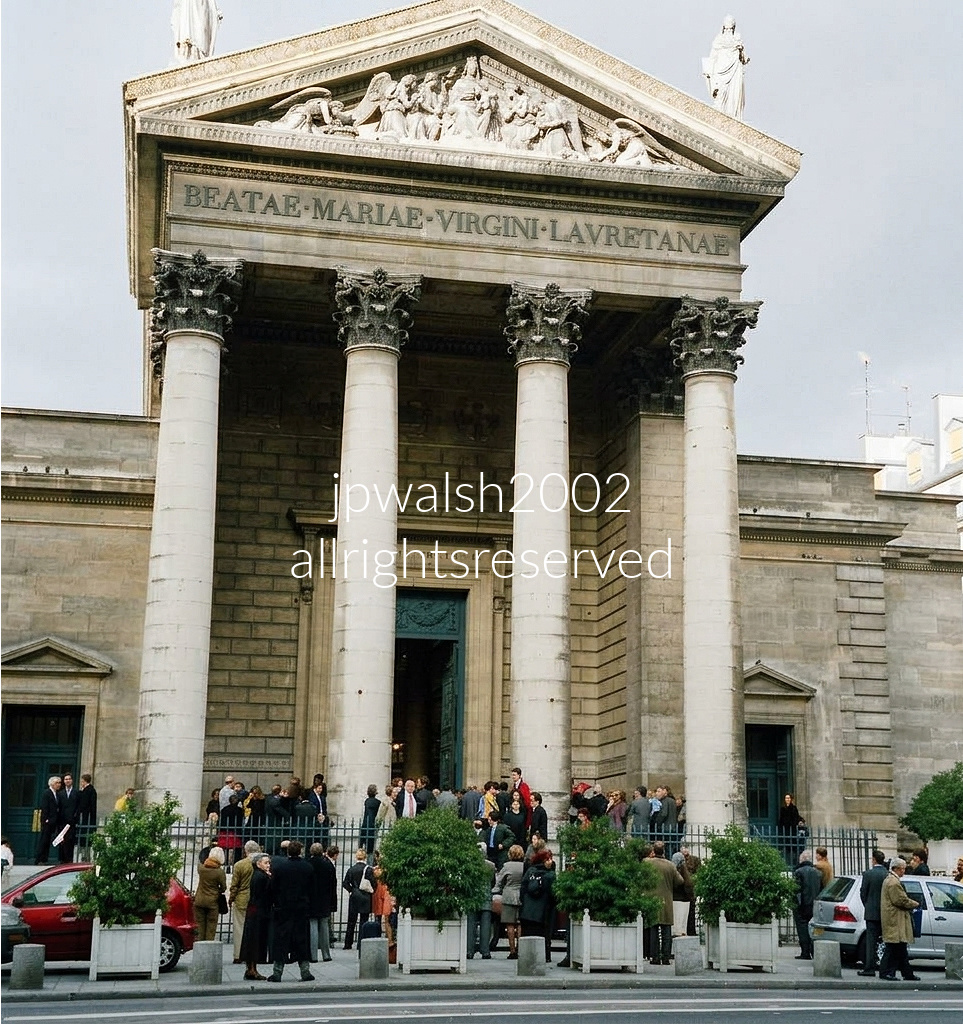
The Church of Notre‑Dame‑de‑Lorette commands the intersection of Rue de Châteaudun and Rue Fléchier with its grand Neoclassical portico. The camera faces north‑northeast up the gentle rise of Rue Laffitte, a straight visual corridor terminating at the church’s monumental façade.
Designed by Louis‑Hippolyte Lebas and built between 1823 and 1836, the structure channels early Christian basilicas of Rome. Across the entablature’s frieze runs the Latin dedication BEATAE • MARIAE • VIRGINI • LAVRETANAE—“To the Blessed Virgin Mary of Loreto.”
Atop the triangular pediment stand three statues by Charles René Laitié, personifying Faith, Charity, and Hope. Below them, the tympanum relief—The Homage to the Virgin by Charles‑François Lebœuf‑Nanteuil—depicts angels venerating Mary.
Inside this church, Georges Bizet and Claude Monet were baptized in 1838 and 1840. During the violent climax of the Paris Commune in May 1871, revolutionaries seized the building and converted it into a makeshift military tribunal and prison network, where religious figures were interrogated before the “Bloody Week” executions.

This street sits in the heart of Nouvelle Athènes, the neighborhood that became Paris’s artistic epicenter in the 19th century. Within a few blocks of this exact location lived and worked towering cultural figures—Victor Hugo, Frédéric Chopin, George Sand, and Eugène Delacroix—all part of the neighborhood’s dense constellation of writers, musicians, and painters.
The building on the right, marked by its hanging banner, is the historic residence and studio of Gustave Moreau at 14 Rue de La Rochefoucauld. Before his death in 1898, Moreau meticulously designed the interior to preserve his life’s work, transforming it into a national museum. The house is renowned for its monumental 19th‑century spiral staircase and its vast, atmospheric studio spaces.
Inside this very building, Moreau taught and mentored artists who would redefine modern painting. Among them were Henri Matisse and Georges Rouault, whose breakthroughs in Fauvism and early Modernism were shaped directly under Moreau’s guidance. The site remains one of Paris’s most important artistic landmarks. see – Homepage | Musée Gustave Moreau
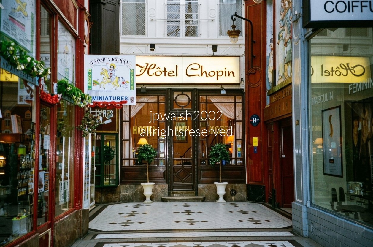
The entrance of the historic Hôtel Chopin where we stayed in Paris at 46 Passage Jouffroy in Paris’s 9th arrondissement, a charming survivor from 1846 and one of the oldest continuously operating hotels in the city. Built alongside the iron‑and‑glass Passage Jouffroy—the first Parisian arcade constructed entirely of those materials—the hotel sits in a corridor Chopin himself regularly walked to reach the nearby Pleyel piano showrooms. A long‑lived Parisian legend claims he used Hôtel Chopin for secret meetings with George Sand, though no evidence confirms it, leaving the story as one of the passage’s most enduring romantic myths.

This crossroads marks the entrance to the Passage des Panoramas, with Rue des Panoramas feeding directly into the historic arcade. Though it appears today as a typical Parisian street, this exact site was once a major cultural flashpoint in the early 19th century.
In the early 1800s, American inventor Robert Fulton lived and worked here while awaiting French review of his submarine, torpedo, and steamboat prototypes. During that period, he constructed two enormous 50‑foot‑wide rotunda towers displaying immersive, 360‑degree panoramic paintings of cities such as Paris, Rome, and Jerusalem. These spectacles became a sensation and permanently gave both the street and the adjoining passage their name: Panoramas.
The entrance also marks a milestone in commercial history. In 1817, the Passage des Panoramas became the first enclosed shopping arcade in Paris to be outfitted with gas lighting, establishing a model for the modern shopping mall.
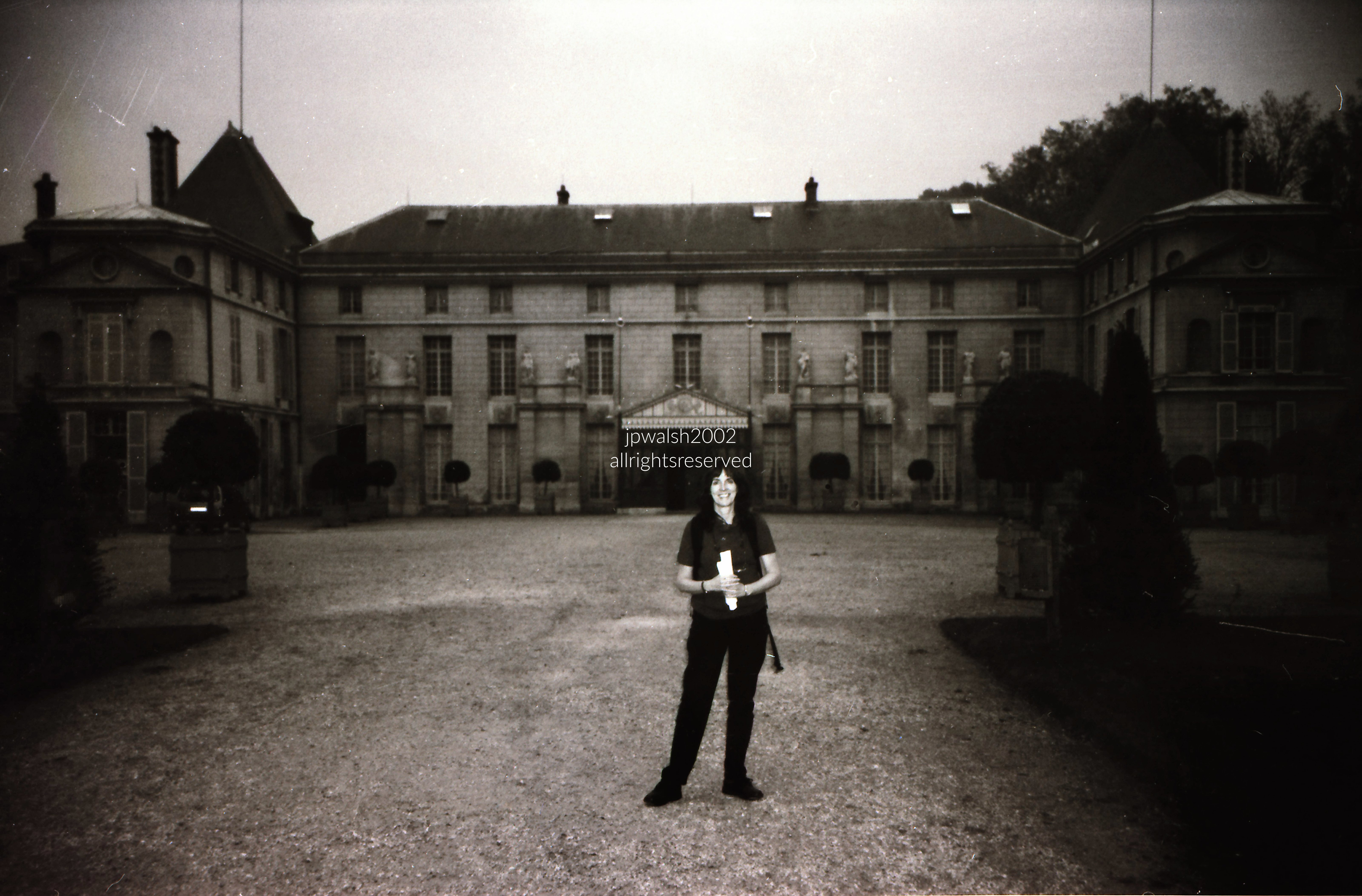
The Château de Malmaison began as a modest country house built in the early 17th century, long before it became entwined with the fortunes of the Napoleonic Empire.
When Joséphine Bonaparte bought Malmaison in April 1799, during Napoleon’s Egyptian campaign, it was considered a dilapidated rural estate. Between 1800 and 1802, she commissioned architects Charles Percier and Pierre Fontaine to renovate and expand it into the refined Consular style that defines the château today. During these same years, Malmaison functioned—alongside the Tuileries—as a de facto seat of government for the Consulate.
Following their 1809 divorce, Napoleon ceded Malmaison entirely to Joséphine. She made it her permanent refuge, living there until her death in May 1814, surrounded by the gardens and interiors she had shaped.
After his defeat at Waterloo in 1815, Napoleon returned briefly to Malmaison for a somber farewell to Joséphine’s memory before departing for his final exile on Saint Helena.
In 1842, the château was purchased by Queen Mother Maria Christina of Spain, who used it as a residence. She later sold it to Napoleon III—Joséphine’s grandson—who transformed the estate into the first museum dedicated to the Consulate era.
During the Franco‑Prussian War of 1870, Malmaison suffered heavy damage: combat scarred the estate, gardens were partly destroyed, and the interiors vandalized. The French state sold the ruined property in 1877 to developers, who subdivided the grounds.
In 1896, philanthropist Daniel Iffla, known as Osiris purchased the surviving château and its remaining six hectares—what was left of Joséphine’s domain. He financed a full restoration and donated Malmaison to the French State in 1903, securing its preservation for future generations.

Above and below: Musée départemental Maurice Denis (historically known as Le Prieuré) located in Saint-Germain-en-Laye, France. The Nabi artist and theorist lived there from 1910 until his death on November 13, 1943, following an automobile accident in Paris. He thoroughly restored the premises, renamed it “Le Prieuré” (The Priory), and settled in with his family.
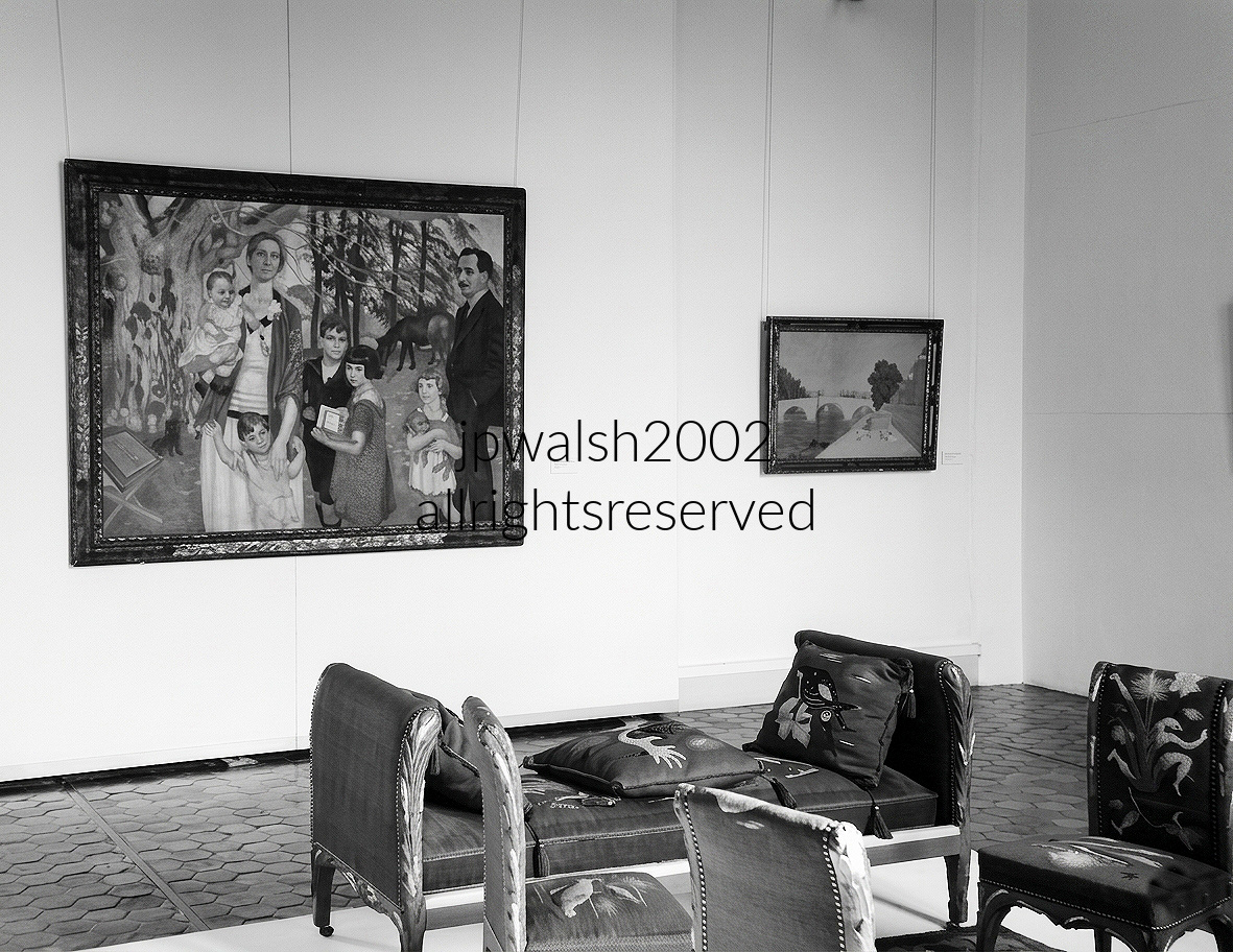

Exterior view of the north transept and choir of Évreux Cathedral in Normandy, where two stacked High Gothic lancet windows display intricate bar‑tracery characteristic of the Rayonnant phase. Gargoyles, corner flying buttresses, and a manicured lawn framed by a low stone boundary wall form a quiet courtyard garden around the structure.
The cathedral’s earliest Romanesque foundation began in the 10th century. After a catastrophic fire in 1119, when Henry I of England burned the town and its early church to the ground, major reconstruction continued steadily through the 17th century, reshaping the building across multiple architectural eras.
Évreux Cathedral endured repeated turmoil during the Hundred Years’ War, the French Revolution, and World War II. In June 1940, Luftwaffe carpet‑bombing devastated the historic city center, threatening the cathedral’s most treasured artworks.
In a remarkable act of foresight, curators and local historians removed and hid the cathedral’s world‑famous 14th‑century stained glass—including the legendary golden‑hued Jaune d’Évreux—in underground vaults before the bombing began. Their efforts preserved one of France’s greatest Gothic glass ensembles.
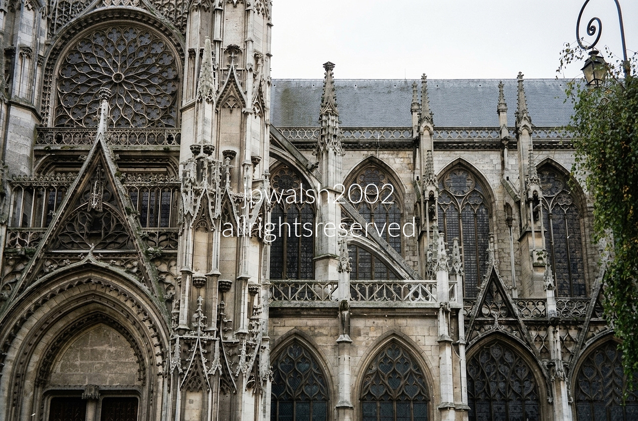
While the Gothic Giants of Normandy are Rouen Cathedral, Coutances Cathedral, and Bayeux Cathedral, Évreux stands apart for its elaborate, hyper-detailed Flamboyant Gothic style. Its exterior bursts with intricate stone tracery, sharp pointed arches, a commanding rose window, and a forest of decorative spires—hallmarks of Late Medieval French architecture.
North Transept Portal — The Flamboyant Masterwork
The façade in this photo—the North Transept Portal—is widely regarded as a masterpiece of late Flamboyant Gothic design. The stone carving unfurls in delicate, flame‑like lacework, a level of complexity so rare that Évreux is often cited as one of the style’s purest expressions.
A Treasury of Glass
Évreux’s greatest claim to fame lies inside: 70 exceptional stained‑glass windows spanning the 13th to 16th centuries. The cathedral is globally renowned for the Jaune d’Évreux—a revolutionary 14th‑century silver‑stain technique producing a luminous golden hue found almost nowhere else. Its soaring choir showcases the earlier Rayonnant Gothic style, a brilliant counterpoint to the flamboyant exterior.
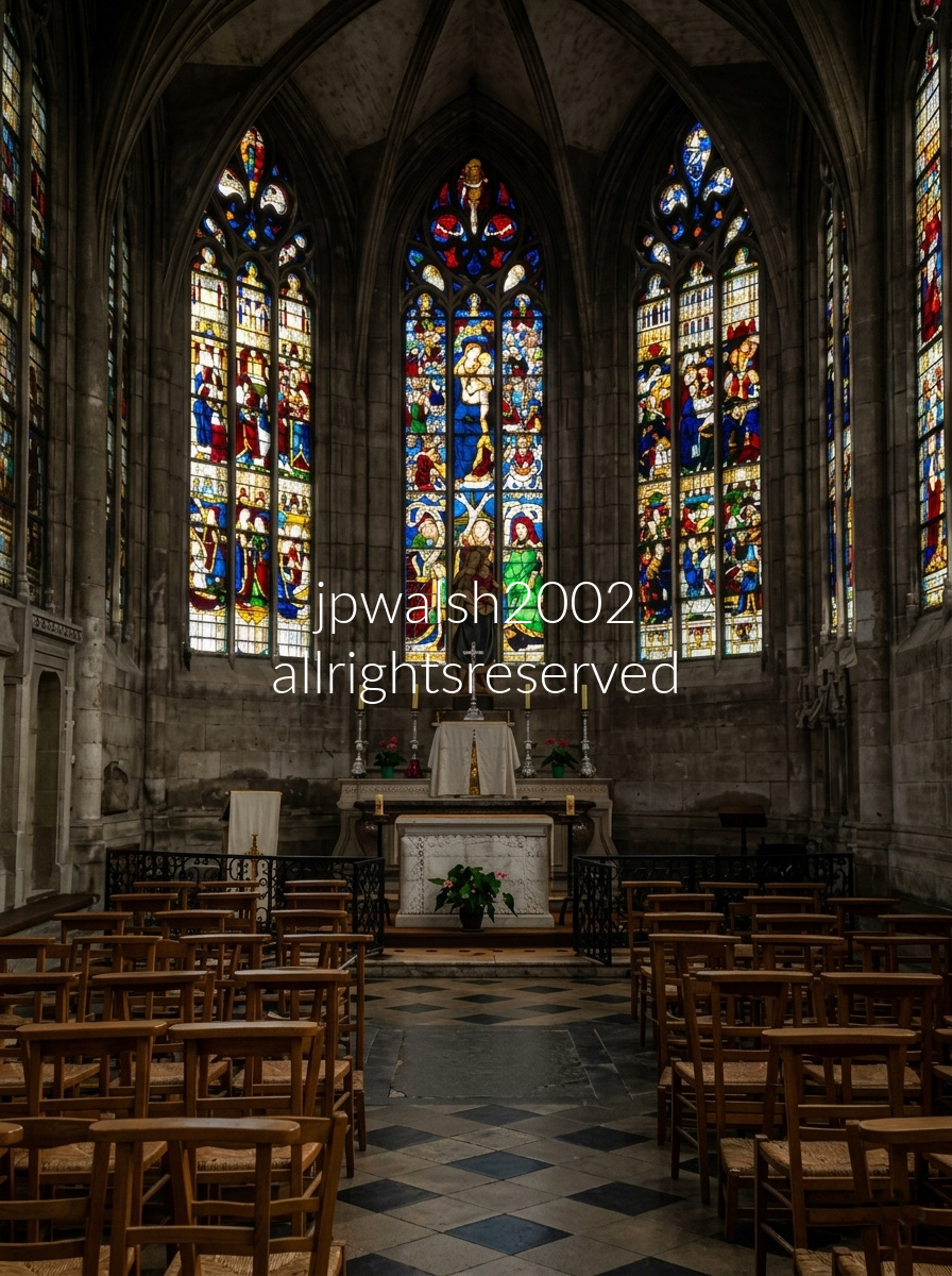
Apsidal Chapel—also known as the Chapelle de la Mère de Dieu or Lady Chapel—stands at the easternmost end of Évreux Cathedral in Normandy. Its masterfully preserved stained‑glass windows were commissioned under Bishop Jean de Balue with the support of King Louis XI and installed between 1467 and 1469. They represent a peak transitional moment in French Gothic art, blending the structural dynamism of Flamboyant Gothic framing with the refined, expressive portraiture influenced by contemporary Parisian panel painting.
The three central lancets form a unified theological cycle centered on the life, death, and glorification of the Virgin Mary, interwoven with prominent political figures of the 15th century. The left window depicts The Coronation of the Virgin. The center window shows the Virgin holding the Infant Christ, surrounded by a dense narrative program illustrating the Life of Christ, arranged around a vivid Tree of Jesse tracing Christ’s royal lineage. The right window presents the Annunciation alongside the Resurrection of Christ, completing one of the most sophisticated Marian ensembles of late medieval Normandy.
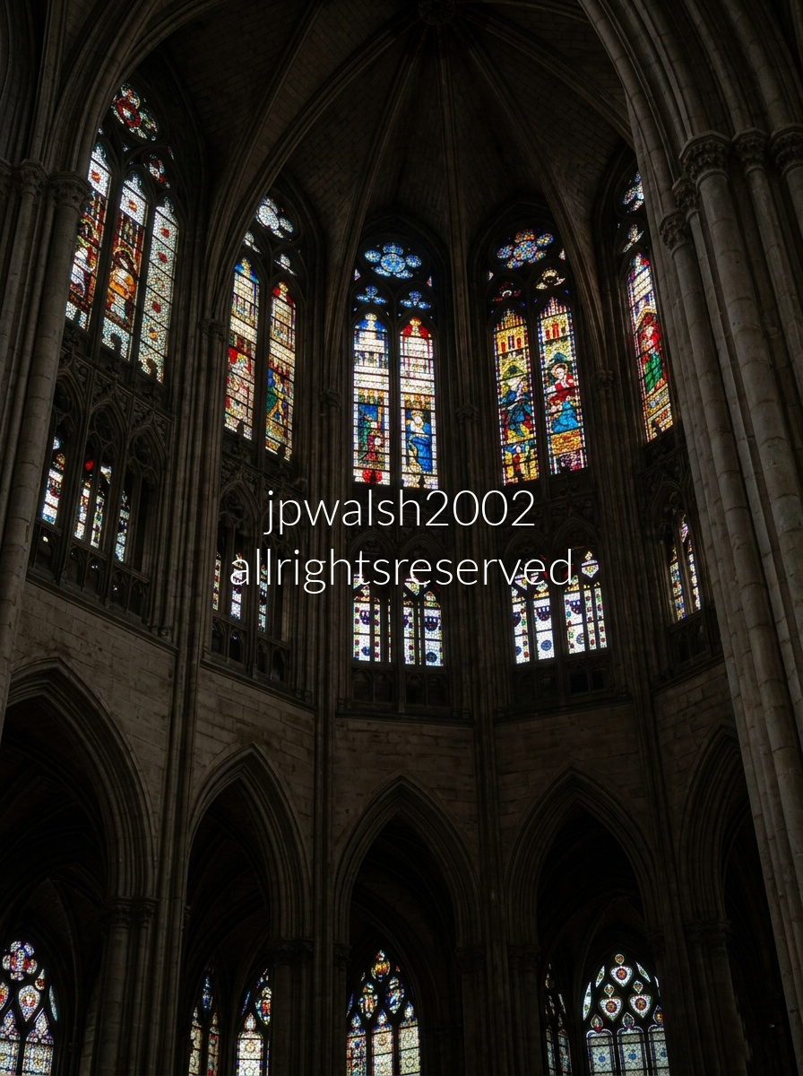
The choir clerestory windows of Évreux Cathedral were installed between roughly 1320 and 1400 and exemplify the pure High Gothic (Rayonnant) style. Their elongated proportions and placement above the open gallery arches of the triforium were engineered to saturate the upper reaches of the church with deep, gemstone‑colored light. This upper tier of glass is world‑famous among art historians for its pioneering use of silver stain, a newly discovered chemical innovation of the era that allowed artists to paint a vivid, transparent yellow directly onto clear glass, transforming both the palette and expressive possibilities of medieval stained‑glass design.
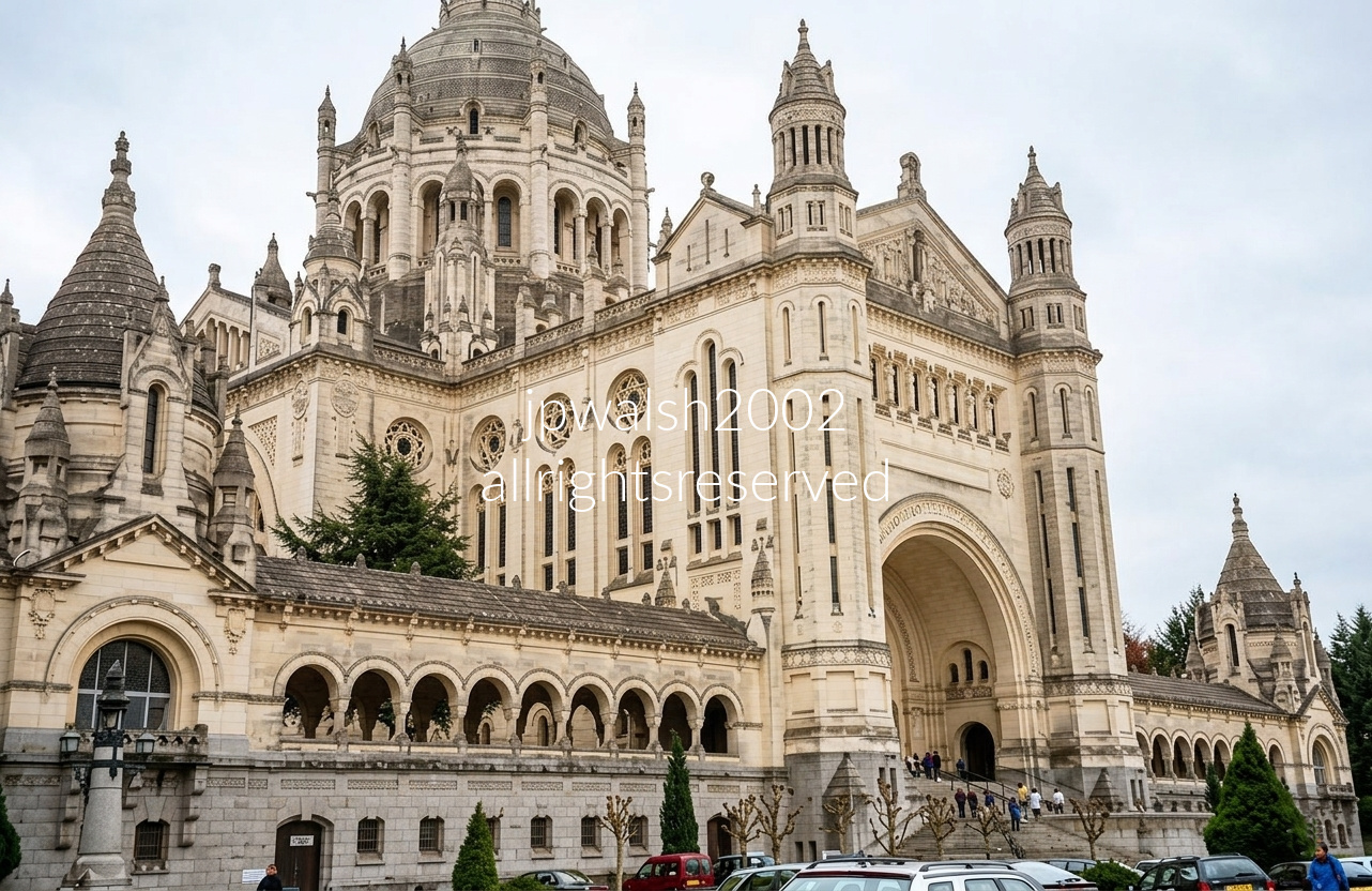
The Basilica of Sainte‑Thérèse in Lisieux is built in a Neo‑Byzantine–Romano style closely inspired by the Sacré‑Cœur in Paris. Its exterior is defined by massive towers, intricate arcade arches, and a monumental central dome that dominates the surrounding hillside.
Drawing roughly 2 million visitors and pilgrims each year, it is the second most important pilgrimage destination in France after Lourdes. Though St. Thérèse of Lisieux is not buried here—her primary tomb is at the nearby Carmel of Lisieux where she lived—one of her arm bones, a major relic, is permanently enshrined in a reliquary in the basilica’s south transept.
The basilica also houses the tombs of Saints Louis and Zélie Martin, Thérèse’s parents, who are buried in the crypt, making the site a central locus of devotion for pilgrims honoring the Martin family.
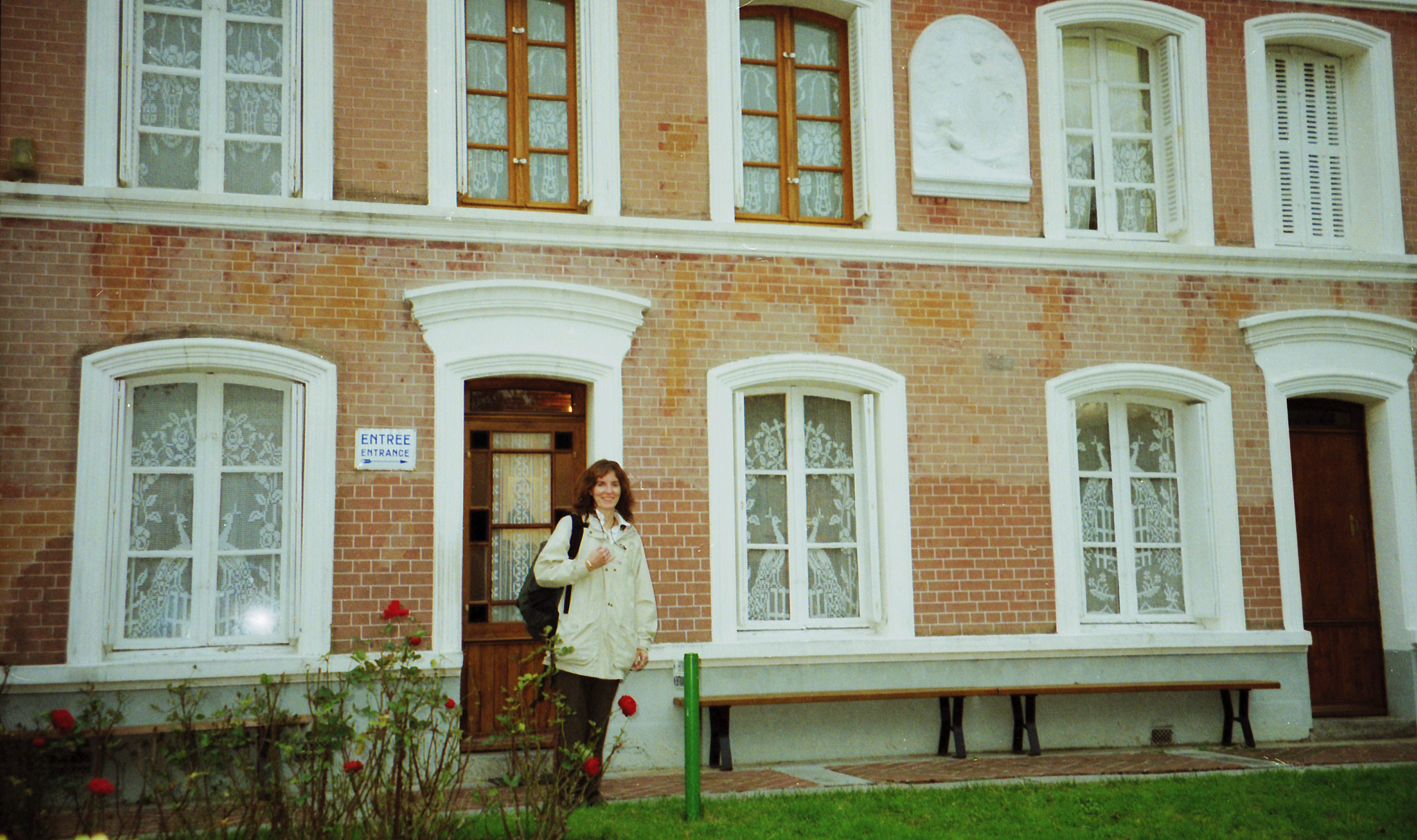
Les Buissonnets, at 22 Chemin des Buissonnets in Lisieux, Normandy, is the historic brick home where St. Thérèse of Lisieux spent her childhood. The Martin family moved here in November 1877 after the death of her mother, Zélie Martin, in Alençon. Thérèse lived in this house from age four until she left at fifteen to enter the Carmel of Lisieux in 1888, beginning the religious life that would define her legacy.

Deb stands directly inside the Marble Court (Cour de Marbre), the innermost courtyard at the heart of the Palave of Versailles in France. Because this photo was taken in 2005, the space surrounding the visitor is entirely wide open. The inner golden Royal Gate had not yet been rebuilt (it was added three years later, in 2008), allowing tourists during this era to walk straight up to the oldest wings of the palace.The background showcases the original hunting lodge built by Louis XIII, which was later embellished by Louis XIV. It features a distinctive Louis XIII style of architecture, characterized by a striking combination of red brick, white stone dressing, and high, sloped blue-slate roofs. The upper balconies are supported by grand marble columns and adorned with intricate gilded wrought-iron railings. Dozens of classical busts on brackets line the facade between the windows. High up on the central pediment is the palace’s famous golden clock, historically used to regulate court life.

I’m posed on a stone terrace, leaning against a thick, weathered balustrade overlooking the Versailles Orangerie and the long south wing of the palace. Below is the manicured Orangerie parterre—rows of precisely shaped potted orange trees and exotic plants arranged in tight geometric patterns. Monumental arched stone arcades, designed by Jules Hardouin‑Mansart, frame this lower garden and anchor its symmetry.
Stretching across the horizon behind me is the palace’s French Classical façade: a rusticated ground floor, a grand étage noble with tall arched windows divided by pilasters, and a flat roofline concealed behind a decorative balustrade. To the left, the terrace continues into long, geometric topiary gardens lined with perfectly manicured cone‑shaped evergreens.
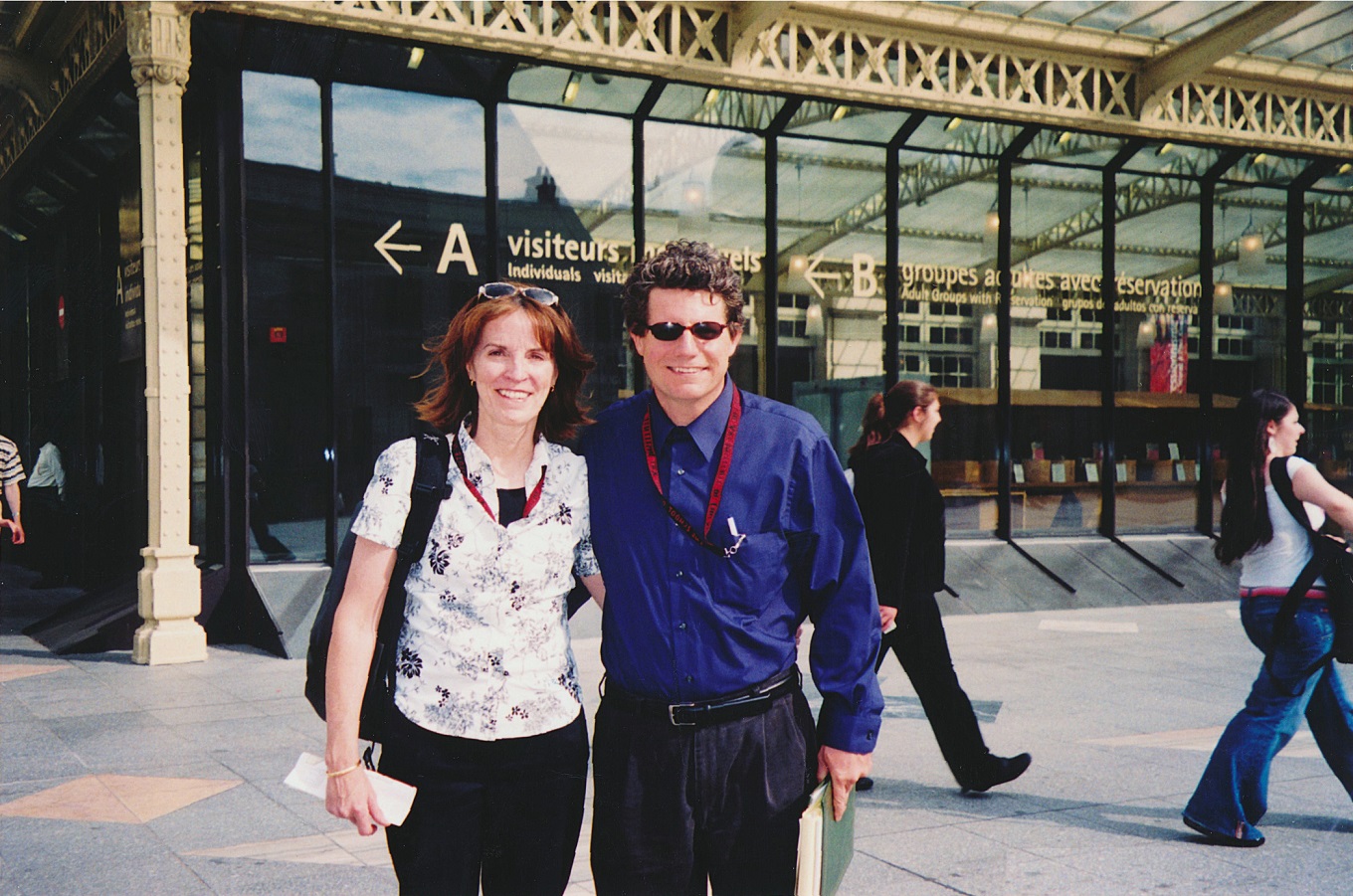
Going in to see Le néo-impressionnisme, de Seurat à Paul Klee, from March 15 to July 10, 2005. The large show made clear to me that there may be many disciples – here, painters of trendy 1890’s Pointillism – but few masters. 65%
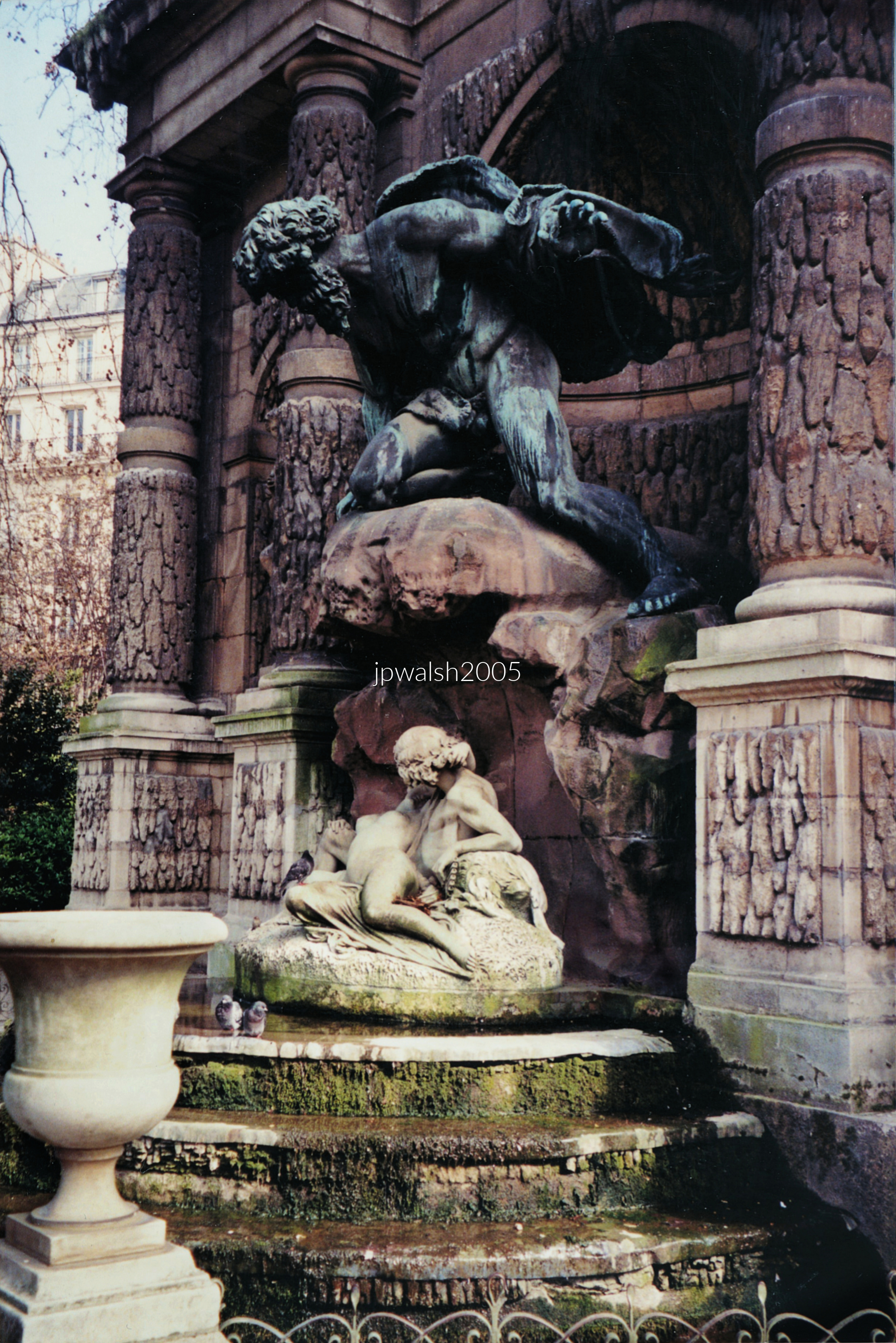
Alongside the Left Bank palace built for Marie de’ Medici (1575–1642) by architect Salomon de Brosse (1571–1626) between 1623 and 1630, a fountain and grotto were created as part of the same program. The work was likely executed by Tommaso Francini (1571–1651), an Italian water‑works engineer invited to France in 1598 by Henry IV, who married Marie in 1600.
By the 19th century, after passing through several owners, the fountain had fallen into disrepair—its neglect accelerated by the court’s relocation to Versailles, shifting tastes, and the upheavals of the French Revolution.
Under Napoleon I (1769–1826), attention returned to the site. The grotto was restored, marking the first significant intervention after decades of decline.
By the 1850s, the old orangerie behind the fountain was demolished, along with its adjoining arcades. Urban planning soon reshaped the area further: in 1864, Baron Haussmann (1809–1891) pushed Rue de Médicis through the neighborhood, requiring the fountain to be moved roughly 90 feet deeper into the park.
The original simple basin and water spout were replaced with an elongated basin. In 1866, a dramatic sculptural group—Polyphemus surprising Acis and Galatea, by Auguste Ottin (1811–1890)—was added, giving the fountain its present theatrical centerpiece.
A second fountain, the Fontaine de Léda, built in 1806 under Napoleon and relocated from another neighborhood, was installed directly behind the Medici Fountain. The two structures now form mutually supporting stone walls, creating the layered architectural effect seen today.
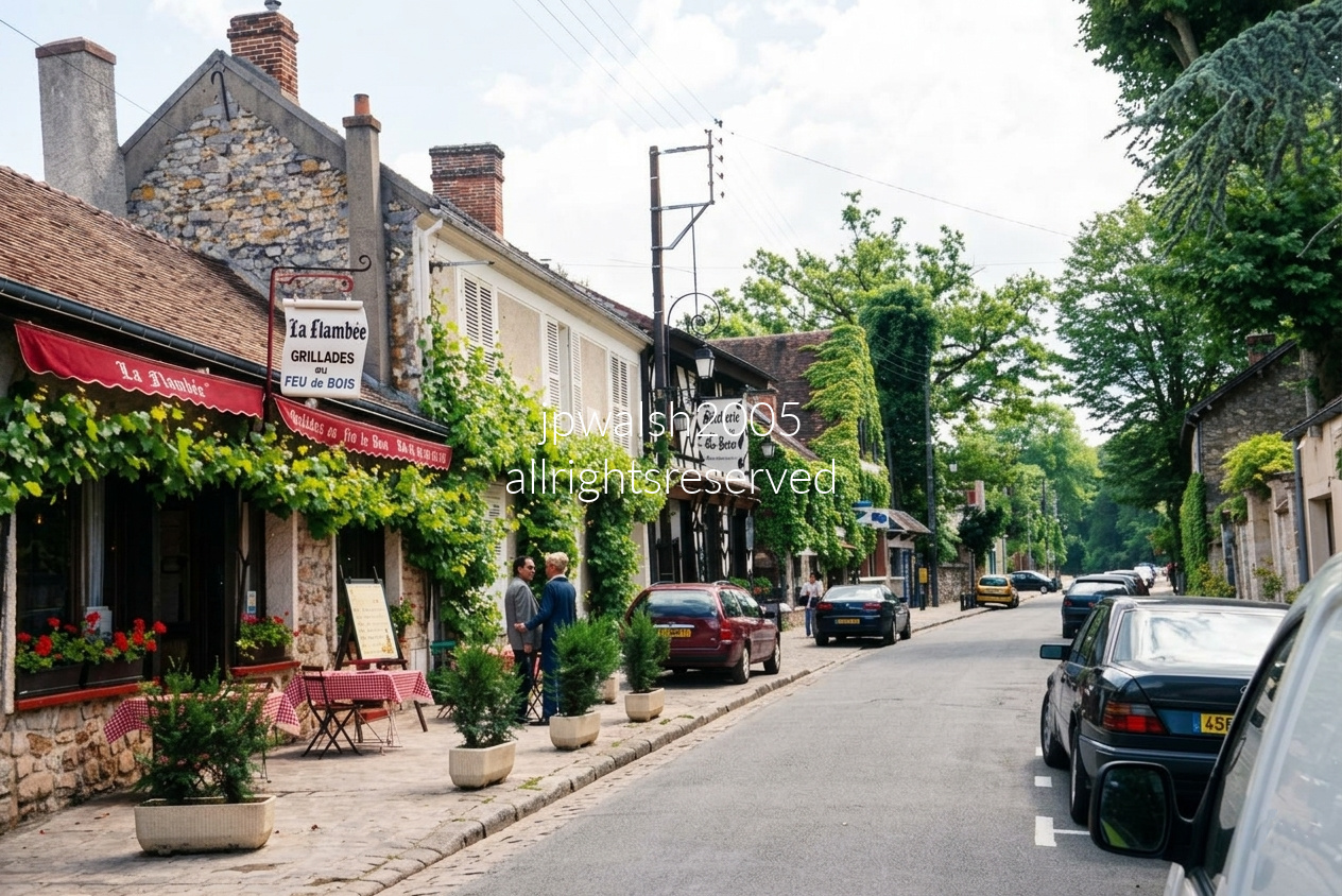
The historic Grande Rue of Barbizon, a village in Seine‑et‑Marne at the edge of the Forest of Fontainebleau, appears much as it did when mid‑19th‑century artists like Théodore Rousseau and Jean‑François Millet walked this street. Its modest stone houses and the neighboring old‑growth woods formed the everyday landscape that inspired the Barbizon School’s breakthrough in naturalistic painting.
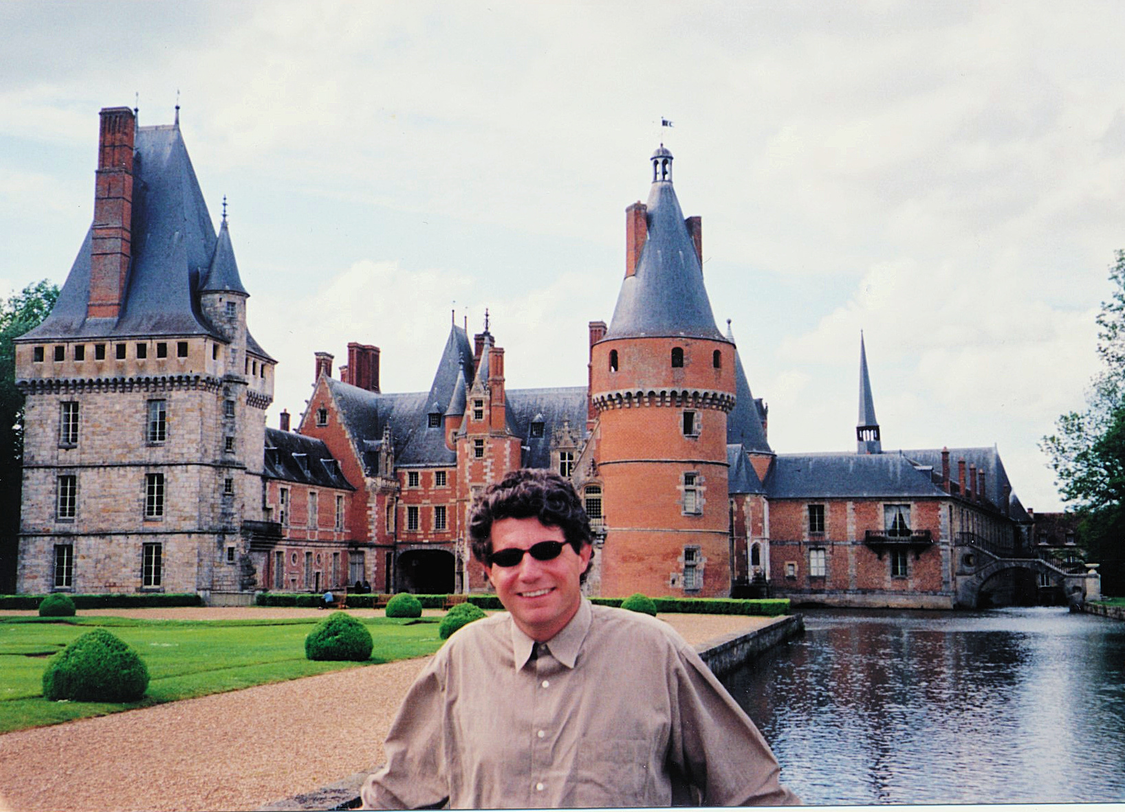
The château developed between the 13th and 18th centuries, beginning with its square keep in the 1200s and later augmented by round towers as the complex expanded over subsequent centuries.
In the early 16th century, the estate was purchased by Jean Cottereau, treasurer to Louis XII (1462–1515). It was later acquired in 1674 by Madame de Maintenon (1635–1719)—first the king’s mistress, then his secret second wife—who rebuilt and reshaped the property. Louis XIV once remarked, “Madame de Maintenon knows how to love. There would be great pleasure in being loved by her.” Historians accept that their secret marriage occurred sometime between October 1683 and January 1684.
The château’s wings frame a formal cour d’honneur, beyond which lies a moat fed by the Eure. Past the moat stretch the parterre and park, culminating in an aqueduct designed by Vauban that crosses the Canal de l’Eure and transports water to the fountains at the Palace of Versailles.
In later centuries, the château became a favored retreat of François‑René de Chateaubriand (1768–1848), who admired its distinctive atmosphere.
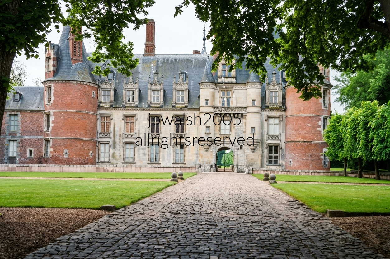
The Chateau of Maintenon was essentially a massive Renaissance renovation and partial tear-down. The large, massive round towers flanking the main body are built from a mixture of stone and red brick, a stylistic combination that evolved across the 14th through 16th centuries. They feature high pepperpot (conical) roofs and dormer windows, balancing their original defensive layout with later decorative updates. Flanking the later Renaissance central stone gate structure are two decorative corbelled turrets (or échauguettes) that project outwards from the upper stories. The left and central portions of the corps de logis (the main residential wing) reflect the distinct architecture of the French Renaissance. That replaced the older medieval severe defensive structures designed to withstand sieges.
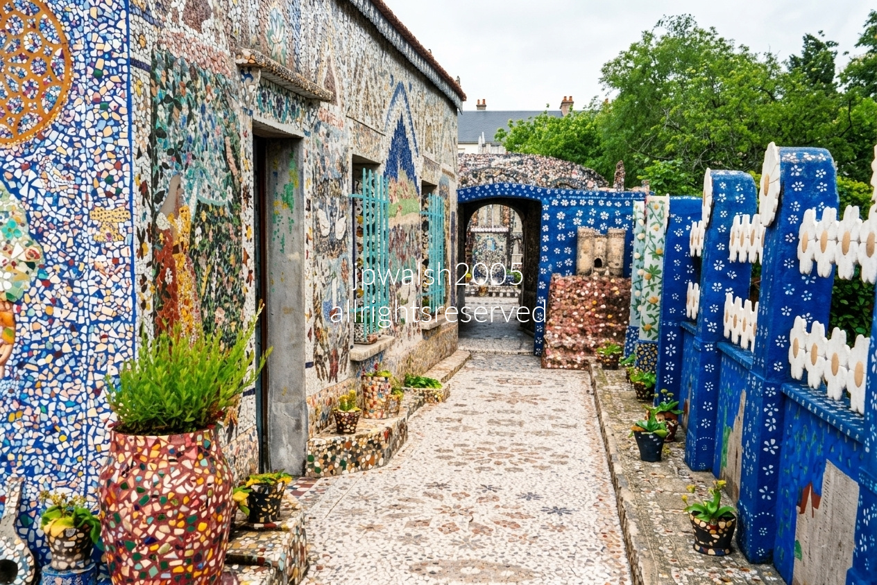
La Maison Picassiette in Chartres, with the spire of the famous cathedral visible from its grounds, is one of the world’s most extraordinary works of naïve art and mosaic architecture. The house was transformed by Raymond Isidore (1900–1964), a local cemetery caretaker and road worker who devoted more than three decades to covering nearly every surface of his home with intricate mosaics. Working with an estimated 15 tons of broken crockery, porcelain fragments, and discarded glass collected from local dumps, Isidore created a dazzling environment of colorful murals and decorative designs. His neighbors mockingly dubbed him “Picassiette,” a play on the French phrase pique-assiette, meaning a scavenger or “plate picker,” a nickname that ultimately became inseparable from the remarkable landmark he built by hand.
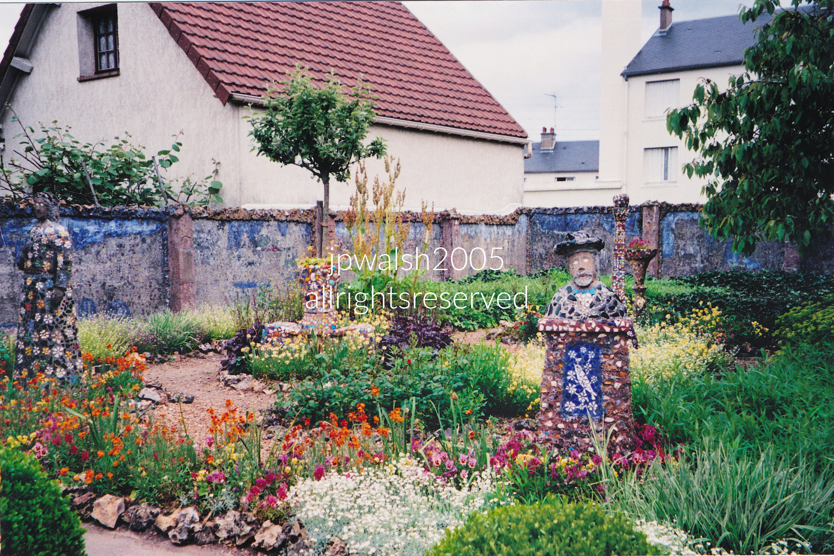
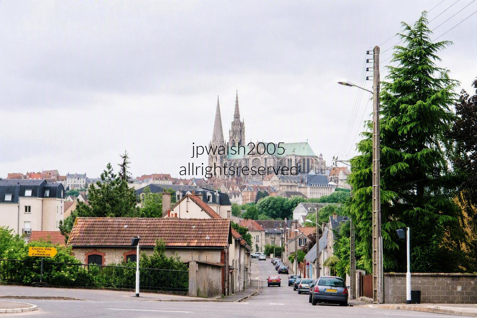
Taken from Jardin de Sakuraï, this view looks west-southwest along 35 Rue du Faubourg Guillaume toward the historic center of Chartres, France, where the world-famous Cathédrale Notre-Dame de Chartres dominates the skyline. This High Gothic masterpiece is instantly recognizable for its asymmetrical spires, soaring flying buttresses, and expansive green copper roof. From this eastern vantage point, the cathedral’s two towering western spires rise at the far left. Following the roofline to the right, the large projecting cross-shaped section in the middle is the north transept façade. Beyond it, the lower rounded end of the church, encircled by an impressive ring of flying buttresses, forms the apse, the cathedral’s eastern termination. Together, these elements reveal the monumental scale and architectural complexity that have made Chartres one of the most celebrated cathedrals in Europe.
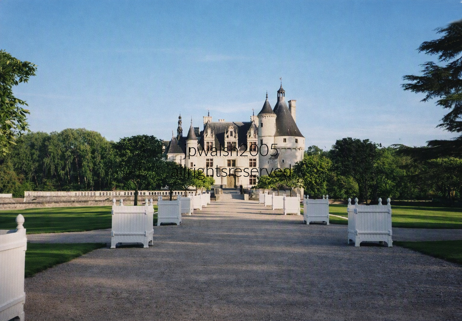
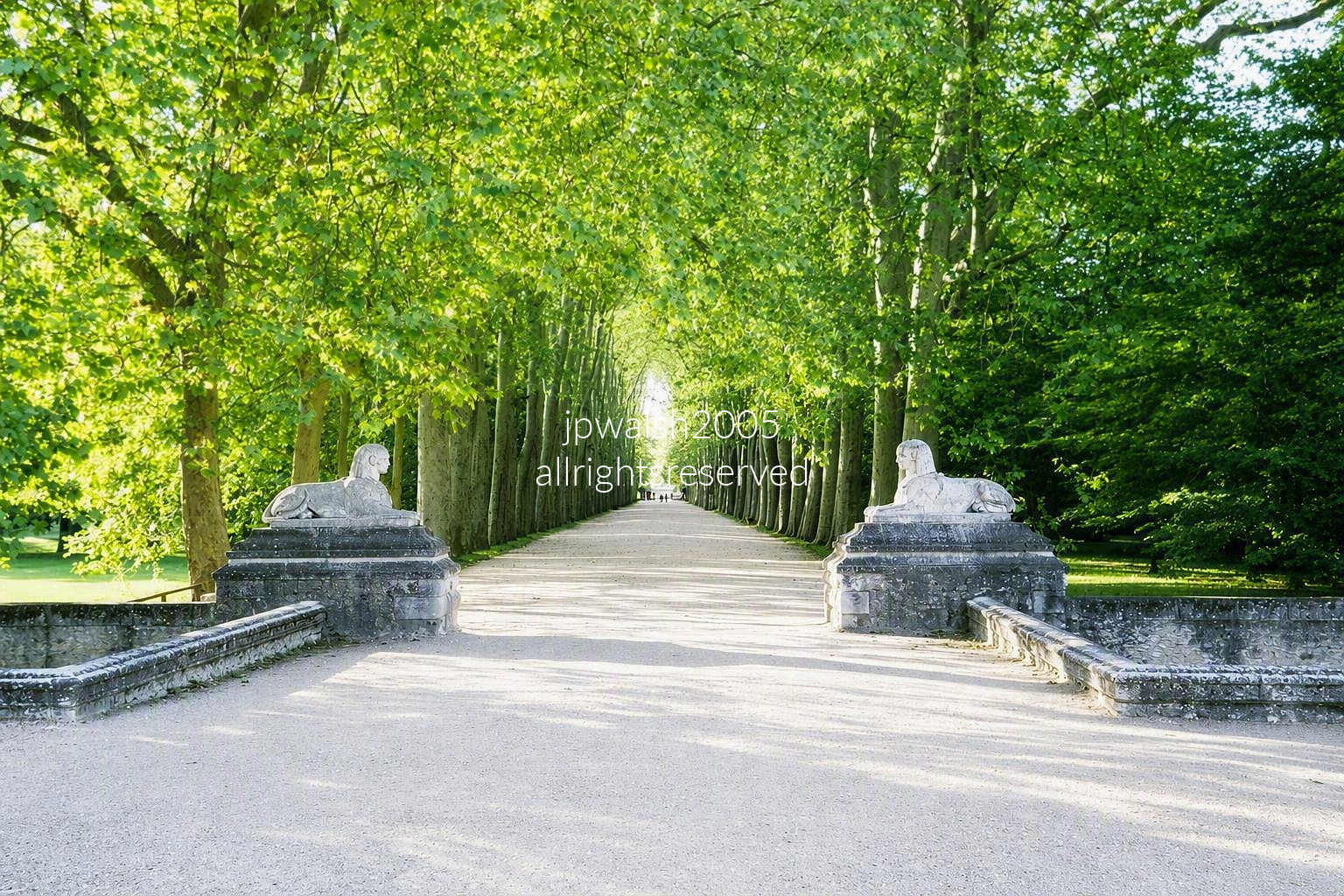
The sphinxes are not original to Chenonceau. They were installed there in the 19th century by Count René de Villeneuve and came from the nearby Château de Chanteloup after that estate was dismantled.
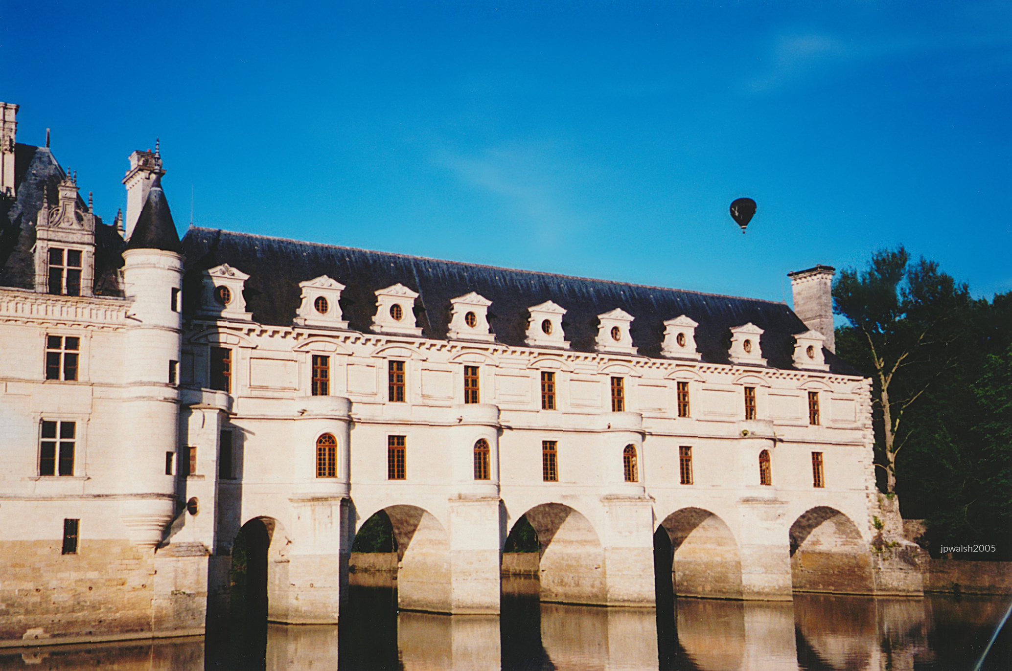
Built between 1514 and 1522 on the foundations of an old mill, the château was later extended across the river Cher in two major phases: the bridge (1556–1559) designed by Philibert de l’Orme, and the gallery (1570–1576) designed by Jean Bullant.
Diane de Poitiers (1500–1566), mistress of Henry II, occupied Chenonceau after the king gifted it to her. She commissioned the bridge and laid out the château’s formal gardens, shaping much of its early Renaissance character.

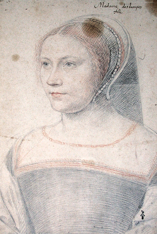
After Henry II’s unexpected sudden death in a ceremonial joust, Catherine de’ Medici (1519–1589)—his queen and mother of three future kings—swiftly seized Chenonceau and expelled Diane, making the château her own political and architectural stage.

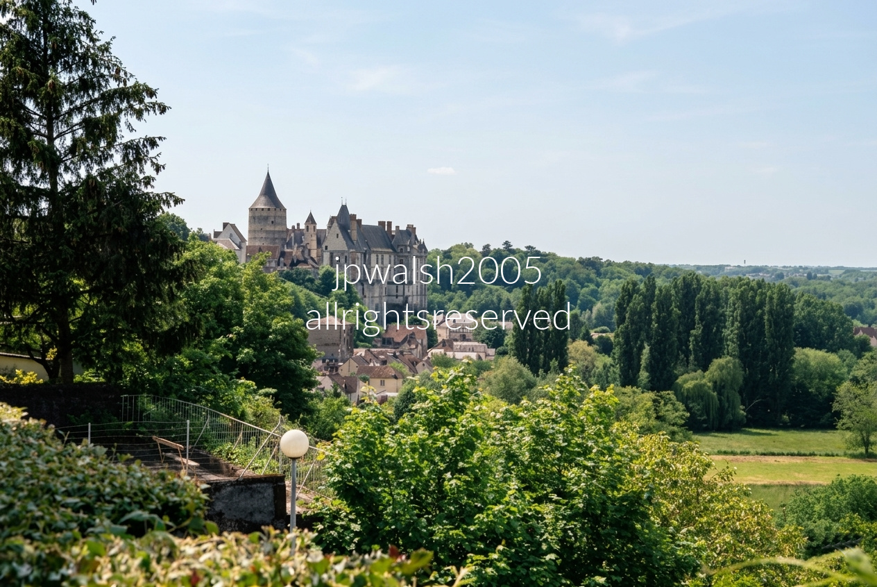
The Château de Châteaudun is often called the “first castle of the Loire Valley” for travelers arriving from Paris.
Perched 60 meters above the Loir River, the circular tower—built c.1170–1180 for Thibaut V of Blois—is the oldest and most intact part of the fortress.
The keep’s thick limestone walls contain two ring corridors lined with arrow loops; it originally had no ground‑floor entrance, accessible only by a removable ladder to a doorway 10 meters above the ground.
In 1439, Charles of Orléans granted the county to his half‑brother Jean de Dunois, famed companion of Joan of Arc during the lifting of the Siege of Orléans.
After the wars, Dunois transformed the fortress into a princely residence, adding a Flamboyant Gothic wing in the 1450s–1460s.
Between 1451 and 1454, Dunois built a private Gothic chapel—one of only seven surviving Sainte‑Chapelles in France—housing surviving twelve life‑size 15th‑century painted statues. He also converted the top floor of the 12th‑century keep into his private library and residential apartments.
His descendants, the Dukes of Longueville, expanded the complex in the 16th century, adding large windows and decorative open‑loggia staircases, overlooking a courtyard.
The castle served as refuge after the 1723 town fire, was ransacked during the Revolution, used as barracks, and damaged by Prussian troops in 1870. The French State acquired the property in 1938 and launched a major restoration, preserving this castle between medieval defense and Renaissance luxury.
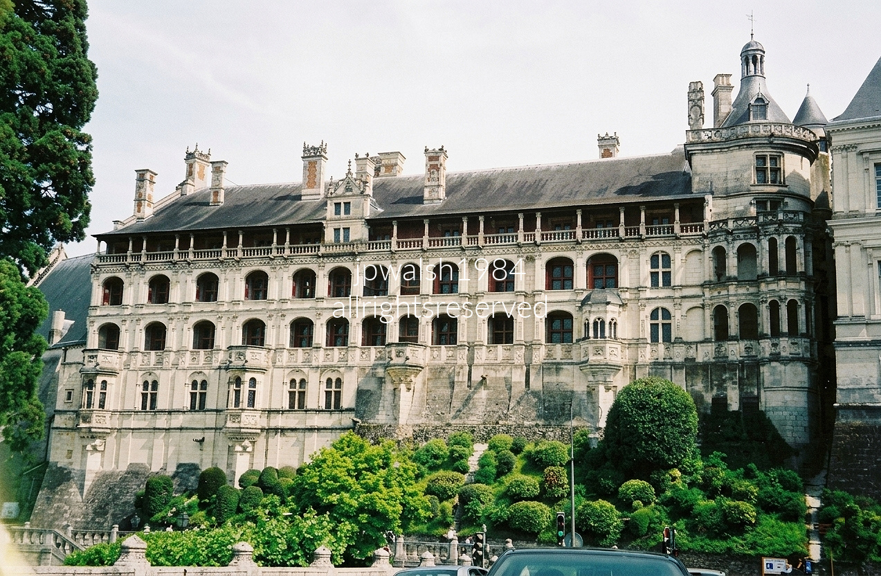
The Royal Château de Blois (Château Royal de Blois) showcases its monumental exterior known as the Facade of the Loggias (Façade des Loges), which forms the outward-facing wall of the castle’s famous Francis I Wing. This structure is celebrated as a textbook masterpiece representing the birth of the French Renaissance. Built between 1515 and 1524 for King Francis I, this magnificent facade was constructed directly against the fortress’s old medieval ramparts.
The design was heavily inspired by the grand Vatican Palace loggias in Rome engineered by Donato Bramante. The structure features columns, pilasters, decorative moldings, and rows of open, deeply recessed niches and window balconies spanning multiple stories. Crowning the top tier is an elevated, open-air arcaded gallery covered by a steep slate roof, which historically allowed the royal court to stroll leisurely while enjoying sweeping views of central Blois. On the far right stands a massive, ornate defensive tower structure retrofitted with Renaissance details and lanterns.
When Louis XII became King of France (1498–1515), he chose Blois as his primary royal residence. He constructed a separate, adjoining brick-and-stone wing showcasing a transitional Late Gothic style. Upon taking the throne, Francis I launched this subsequent Renaissance expansion to satisfy his extravagant architectural tastes. Following the French Revolution, the castle was ransacked, abandoned, and scheduled for demolition. It was ultimately saved from destruction by being repurposed as a functional military barracks.
On the morning of December 23, 1588, at the height of the French Wars of Religion, the ambush and assassination of Henri I, Duke of Guise, took place inside the very Francis I wing shown in the photo. This event stands as the most famous and dramatic episode in the history of the château. The Duke of Guise was the charismatic and wildly popular leader of the Catholic League. He had grown so powerful that he effectively controlled Paris, forcing the reigning monarch, King Henry III, to flee the capital to Blois.

Henry III called a meeting of the Estates-General (parliament) at the Château de Blois in a desperate bid to negotiate peace. However, the Duke of Guise arrived overconfident, using his political leverage to treat the King like a mere puppet. Fearing he was about to lose his throne entirely, Henry III decided on a ruthless, preemptive strike.
Under the pretense of summoning him to a private council meeting, the King lured the Duke into the royal apartments. As the Duke walked through the King’s bedchamber toward the adjacent cabinet vieux (private study), he walked straight into the trap. Henry III had stationed his personal elite bodyguards—a fierce group of Gascon swordsmen known as The Forty-Five—who ambushed the Duke and stabbed him over and over with daggers and swords. The Duke was quickly overwhelmed and collapsed dead at the foot of the King’s bed. To completely crush the rival faction, the King ordered the Duke’s brother, the Cardinal of Guise, to be arrested and murdered within the castle walls of Blois the very next day.

Historic Pontlevoy Abbey stands in the commune of Pontlevoy in Loir‑et‑Cher, Centre‑Val de Loire.
The prominent stone steeple on the left belongs to Église Saint‑Pierre; its masonry dates to the 11th–12th centuries, with the upper bell tower partly rebuilt in the 15th century.
The tall stone spire crowning the tower was added in the 19th century.
The larger buildings with grand mansard and slate roofs form the historic Benedictine monastery and college grounds.
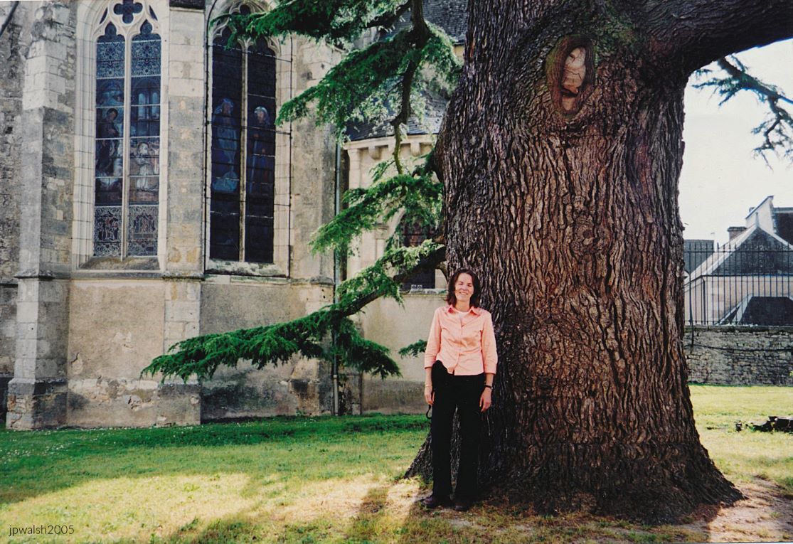
A Benedictine abbey was founded here in the 11th century by a local knight, along with its early Gothic church.
In the early 17th century, Cardinal Richelieu—no mere honorary abbot—ordered repairs, updates, and a reinforcement of the monastic community.
By the 1770s, the small monastery school was elevated by Louis XVI into one of France’s royal military academies, operating until the Revolution.
The great cedar was planted in 1776 in honor of the new king, Louis XVI. 65%
In 1792, the revolutionary government abolished the military academy, and the complex became a private secular college rather than a stone quarry. Throughout the 1800s, Pontlevoy operated as a competitive, conservative boarding school for the wealthy, producing provincial officials, scholars, priests, and soldiers.
Its popularity led affluent families to build the large slate‑roofed houses that still frame the village streets.
As German forces retreated in 1944, they set fire to the site; the blaze caused heavy damage, though the main chapel and major 18th‑century wings survived. After the war, the Marquis de Vibraye family sold the property to private investors involved in international education.
Today, the 18th‑century complex serves as an international study‑abroad hub, hosting European and American university students for language, history, and cultural programs.

The Church of St. Peter stands within the Pontlevoy Abbey complex. The site’s spiritual origin dates to 1034, when Gelduin of Chaumont vowed to build a monastery after surviving a shipwreck.
Heavy rounded arches and robust stone columns in the lower nave preserve the early Romanesque structure.
English forces damaged the Romanesque church in the mid‑14th century, prompting major reconstruction.
Builders added pointed ribbed vaults, flying buttresses, and carved foliage capitals atop older Romanesque supports.
In the late 18th century, the nave wall was dismantled, leaving the choir and transept as the parish church.
The monks were expelled during the Revolution; in 1944, retreating German troops set fire to the abbey, though the church’s core survived, preserving its historic interior columns, old wooden gallery balcony, and 12th-century chapel architecture. Today, the church is a classified French Monument Historique.
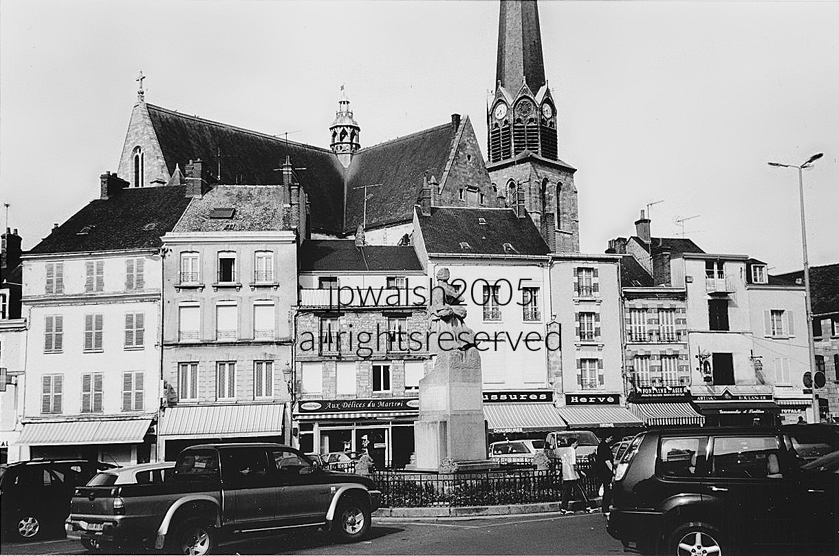
Place du Martroi in the heart of Pithiviers, France, centered on the town’s Monument aux Morts, the war memorial dedicated in 1923 and sculpted by Charles Malfray with its base and layout designed by his brother, architect Henri Malfray. In the Middle Ages, this site, whose name means “field” or “necropolis of martyrs,” was used for public executions. Rising behind the square is Église Saint-Salomon-et-Saint-Grégoire, first consecrated around 1080 by Raynier de Flandres, Bishop of Orléans. Although damaged by a major fire during the Hundred Years’ War in 1428 and later pillaged by Protestants in 1562 during the French Wars of Religion, the church was extensively restored in the 17th century, giving it a Renaissance and Classical appearance layered over its Gothic structure. Parts of the original church survive, including the former apse, now used as a chapel. The church’s steeple was replaced in the mid-19th century, and the building has been protected as a French Monument Historique since 1912. It is dedicated to two revered figures: Saint Gregory of Nicopolis, the Armenian bishop and hermit whose relics are preserved here, and Saint Salomon, the martyred 9th-century King of Brittany. Completing the scene, the ground floors of the historic townhouses lining the square house local businesses, including the bakery Aux Délices du Martroi and a neighborhood shoe shop (Chaussures).
Pithiviers in north-central France has a history stretching back more than two millennia, evolving from an ancient Gallic crossroads into a fortified medieval town, a favored stopping place for French kings, and a center renowned for its regional culinary traditions. Yet the town is also linked to one of the darkest chapters in French history. During the Second World War, the Pithiviers internment camp, administered by the collaborationist Vichy regime under Nazi supervision, became a major transit center for Jewish families arrested throughout France. From Pithiviers railway station, six deportation convoys carried thousands of men, women, and children to Auschwitz-Birkenau, where most perished. In all, approximately 25 percent of France’s Jewish population fell victim in the Shoah. More than 11,000 Jewish children and 65,000 women and men were deported from France to German concentration and extermination camps, making Pithiviers both a witness to centuries of French history and a place of enduring remembrance. see – Pithiviers Train Station – Mémorial de la Shoah — Memorialmuseums – retrieved September 8, 2026.

Entry façade of the Maison d’Émile Zola, located at 26 Rue Pasteur, 78670 Médan, France.
The cartouche at the top reads: “Administration Générale de l’Assistance Publique à Paris – Fondation Émile Zola – 1906.” Following the author’s death, his widow, Alexandrine Zola, donated the country estate to the Paris public hospital system in 1905 to serve as a convalescent home for nursing mothers and infants.
Zola originally purchased this country retreat in 1878 using royalties from his acclaimed novel L’Assommoir, living and working here for nearly 24 years. It is here that he composed masterpieces such as Nana (1880), Germinal (1885), La Terre (1887), La Bête humaine (1890), and La Débâcle (1892).
Zola did not die at this estate; he passed away on September 29, 1902, from carbon monoxide poisoning caused by a blocked chimney flue at his winter apartment since 1889 at 21 Rue de Bruxelles in Paris (where he wrote J’accuse in 1898)—an event still viewed with suspicion due to his political activism in the Dreyfus Affair. Initially interred at Montmartre Cemetery, his remains were officially transferred to the Panthéon on June 4, 1908.

The apse, built in the early 12th century, is fully Romanesque in massing and profile. By the mid‑to‑late 12th century, the vault of the ambulatory and the transept windows introduced the first Gothic elements, marking the church’s gradual architectural transition.
The flamboyant Gothic façade, added in the 15th century, reshaped the western front with its characteristic tracery and vertical emphasis.
In 1525, the north aisle was replaced by a double aisle bordered by chapels, and a new portal was opened onto the Place du Grand‑Martroy, extending the church’s urban presence.
In 1552, Pierre Lemercier—first in a distinguished line of Pontoise architects—undertook the completion of the western façade tower by constructing its dome, establishing the silhouette recognizable today.
Throughout the 16th century, the south aisle was bordered by a belt of chapels. Large columns replaced the thinner medieval supports, and the upper windows were rebuilt, strengthening the structure while updating its lighting scheme.
In 1585, the pillars of the chancel were rebuilt, completing a century of structural and stylistic modernization.
By the time Saint‑Maclou became a cathedral in 1966, when Pontoise was elevated to diocesan status, the church had already accumulated seven centuries of architectural evolution. see – https://ville-pontoise.fr/la-cathedrale-saint-maclou – retrieved March 5, 2025.

The Houdan chicken, an old French breed, rose to prominence when its breeders became the royal suppliers to the French kings at Versailles, beginning under Louis XIII (1601–1643). Its reputation for quality made it a staple of courtly cuisine.
With the arrival of the railroads, demand surged. Records from 1872–1873 note more than 600,000 Houdan chickens sold—an industrial‑scale success for a bird that had once been a regional specialty.
World War I nearly erased the breed; large breeders vanished, and the Houdan chicken almost disappeared entirely. It was reintroduced in 1927, restoring a small but enduring lineage.
We ate a memorable déjeuner at La Poularde, a gastronomique destination that still serves the historic French repast built around this storied bird—proof that culinary heritage sometimes survives more wars than the chickens themselves. see – see – https://www.fondazioneslowfood.com/en/ark-of-taste-slow-food/houdan-chicken/ – retrieved March 5, 2025.
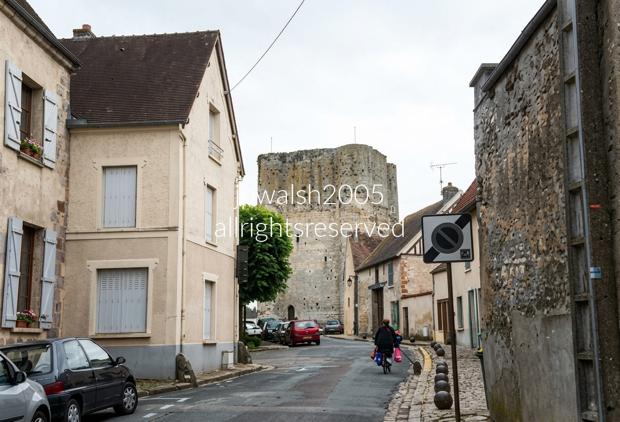
Looking north along Rue de la Porte d’Épernon, the Donjon de Houdan rises over the historic center of Houdan (Yvelines). Built in the early 12th century, the keep served as the core of a larger defensive complex until 1591, when the French Wars of Religion triggered the demolition of the surrounding medieval castle. By the late 18th century it stood largely as a relic, and in 1793 revolutionaries ordered its destruction as a symbol of “feudalism.” The attempt failed: its 3.5‑meter‑thick stone walls proved too dense to tear down, leaving the tower as one of the region’s most stubborn survivors.

In the late Middle Ages, Houdan became an immensely wealthy agricultural trading town supplying grain and poultry to Paris. The scale and elaborate detailing of the Hôtel du Lys serve as a physical record of that wealth, showing how elite merchant residences and upscale travelers’ inns evolved along the highly trafficked royal route to Paris.

We visited Bièvres, about eight miles southwest of Paris, because of its association with the Symbolist artist Odilon Redon (1840–1916). The village rises gently from a crossroads, and locals still recall Redon’s summer stays there after 1909—proof that even Symbolists leave footprints.
Before exploring, we had a leisurely déjeuner at Tabac de Mairie, the sidewalk café at 2 Rue Léon Mignotte, just off to the left of the photograph. The meal was excellent, the service brisk, and the atmosphere very much “small French town that knows exactly who it is.”
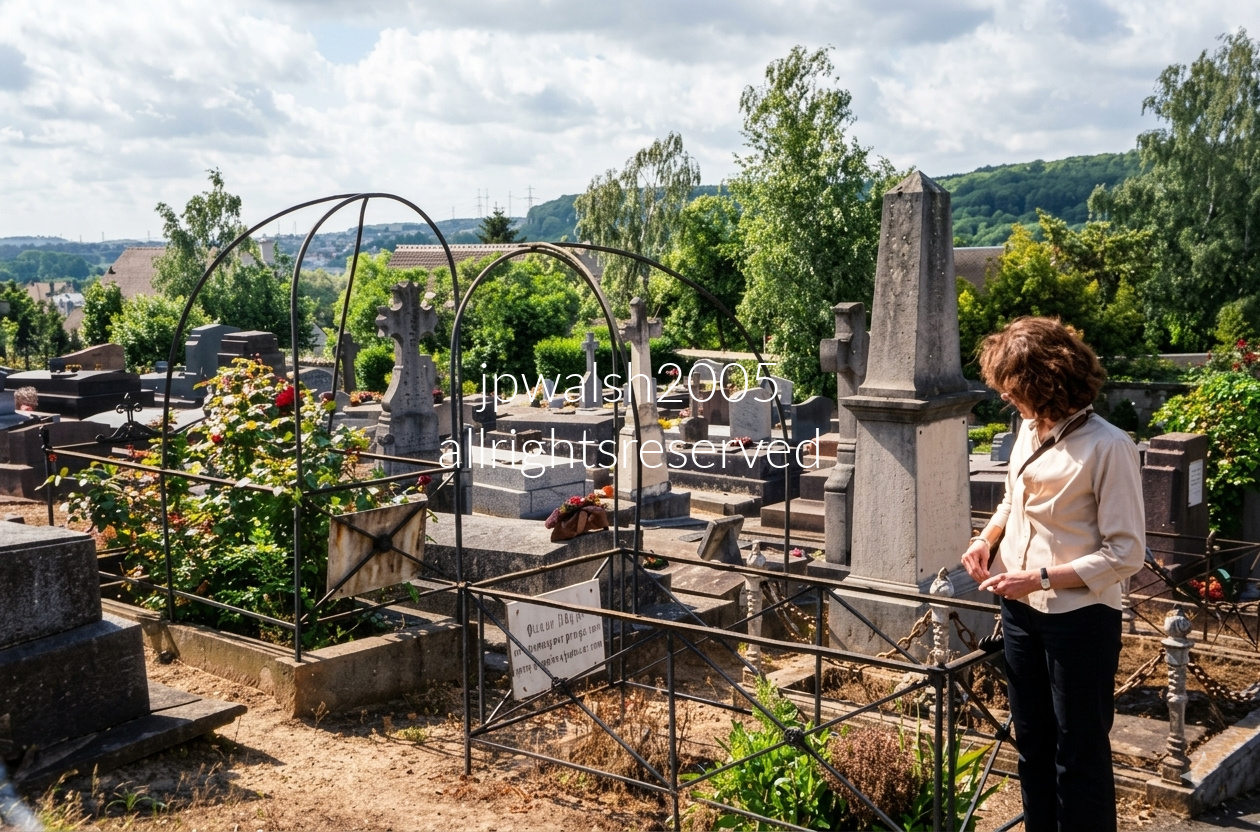
Redon and his wife Camille Falte (1860–1925) are interred together in the village cemetery. When Redon’s natal home of Peyrelebade was sold in 1897, the couple adopted Villa Juliette in Bièvres—acquired from Camille’s half‑sister—as their retreat from Paris. It became their refuge, their summer base, and occasionally their escape hatch from the Paris art world.
During World War I, Redon withdrew for long stretches to his native Southwest France. But in the end, he returned to Bièvres—at least in the way artists often do: by being brought back after death. Camille lived nine years longer than Redon, outlasting him before joining him there in the cemetery of the village they had made their second home.


FEATURE image: Chicago Loop, August 2014. Photographs ©John P. Walsh

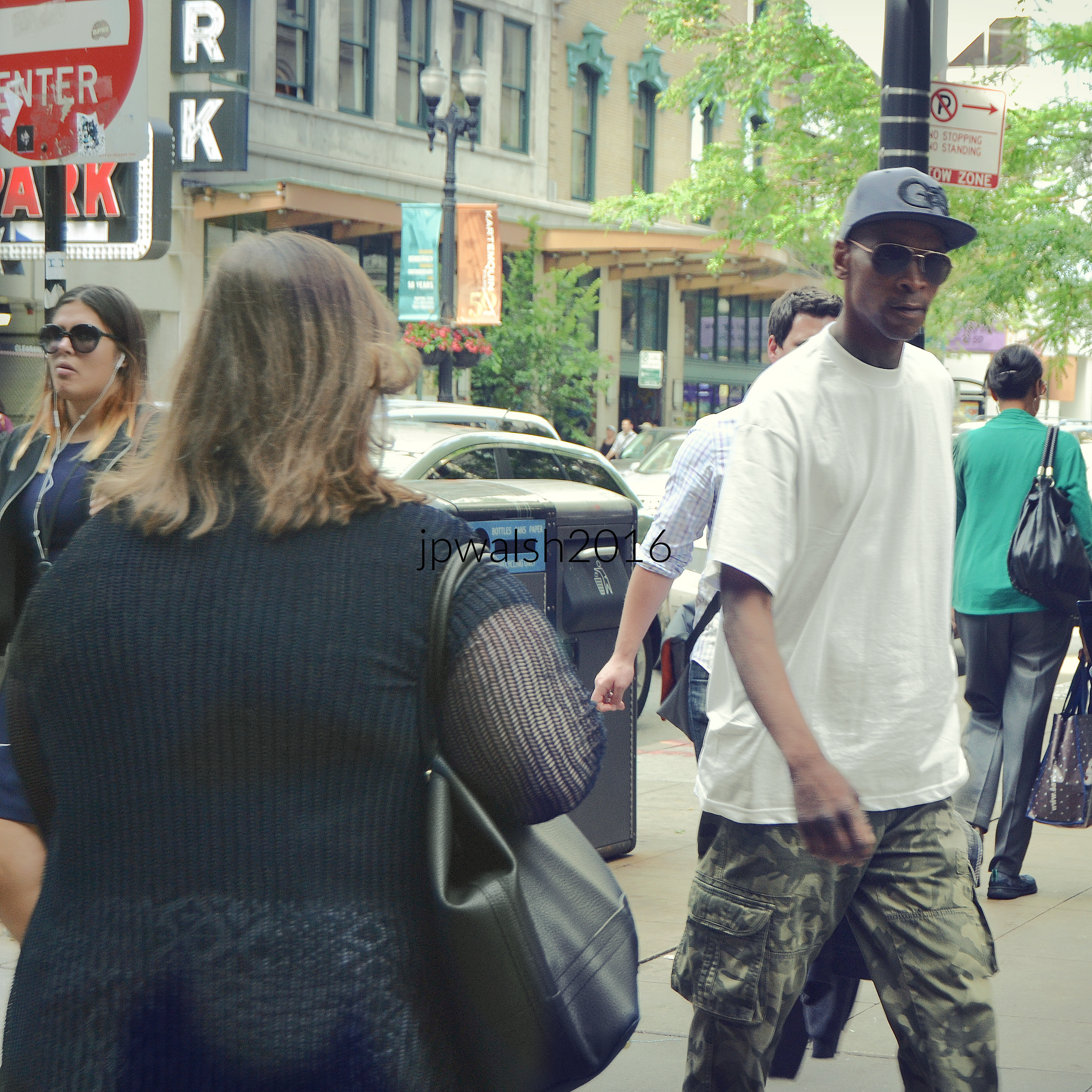


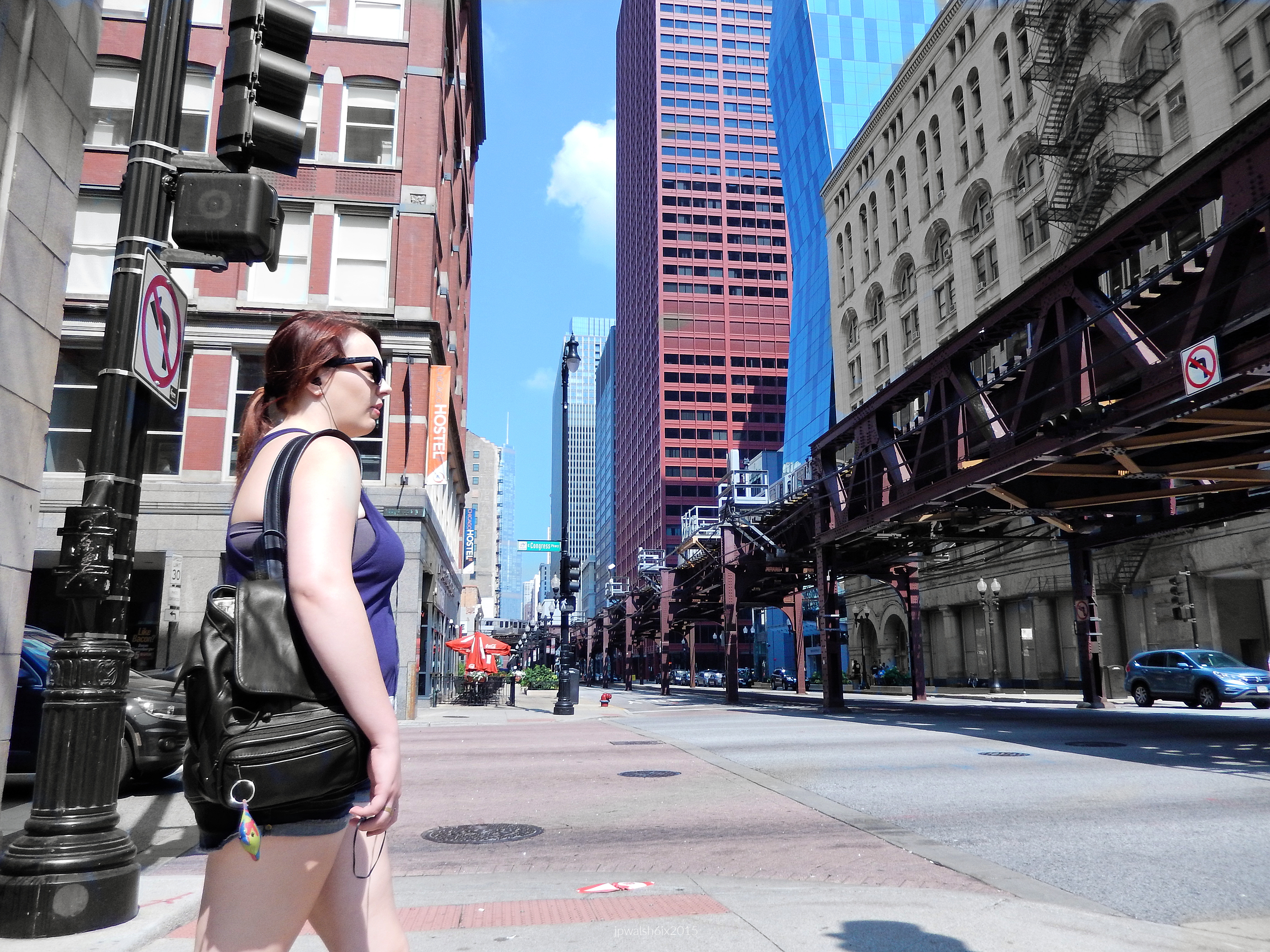


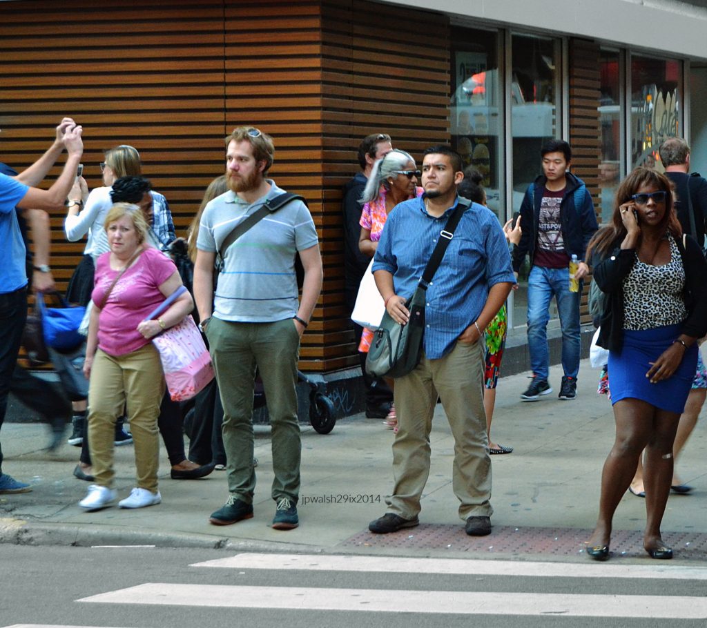


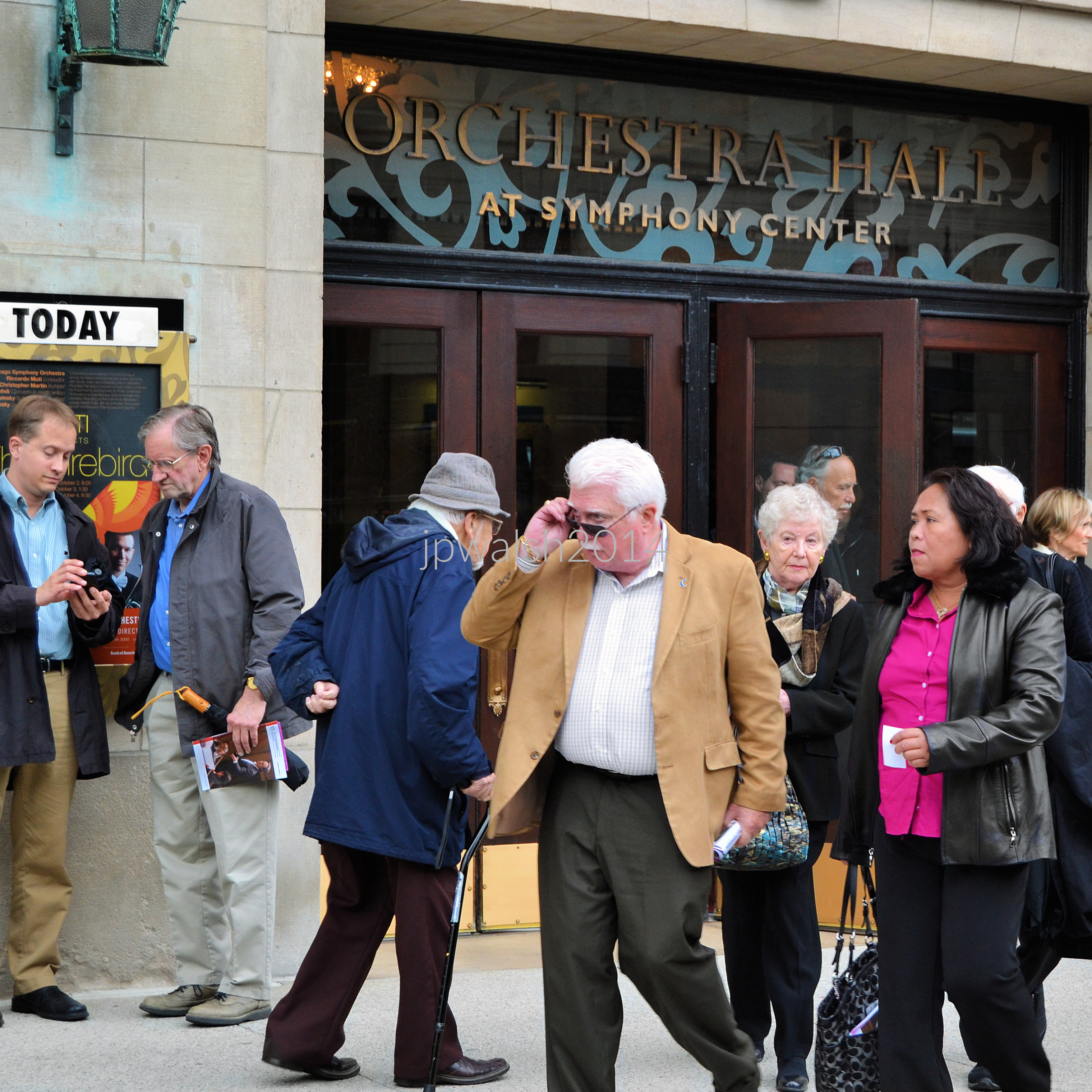
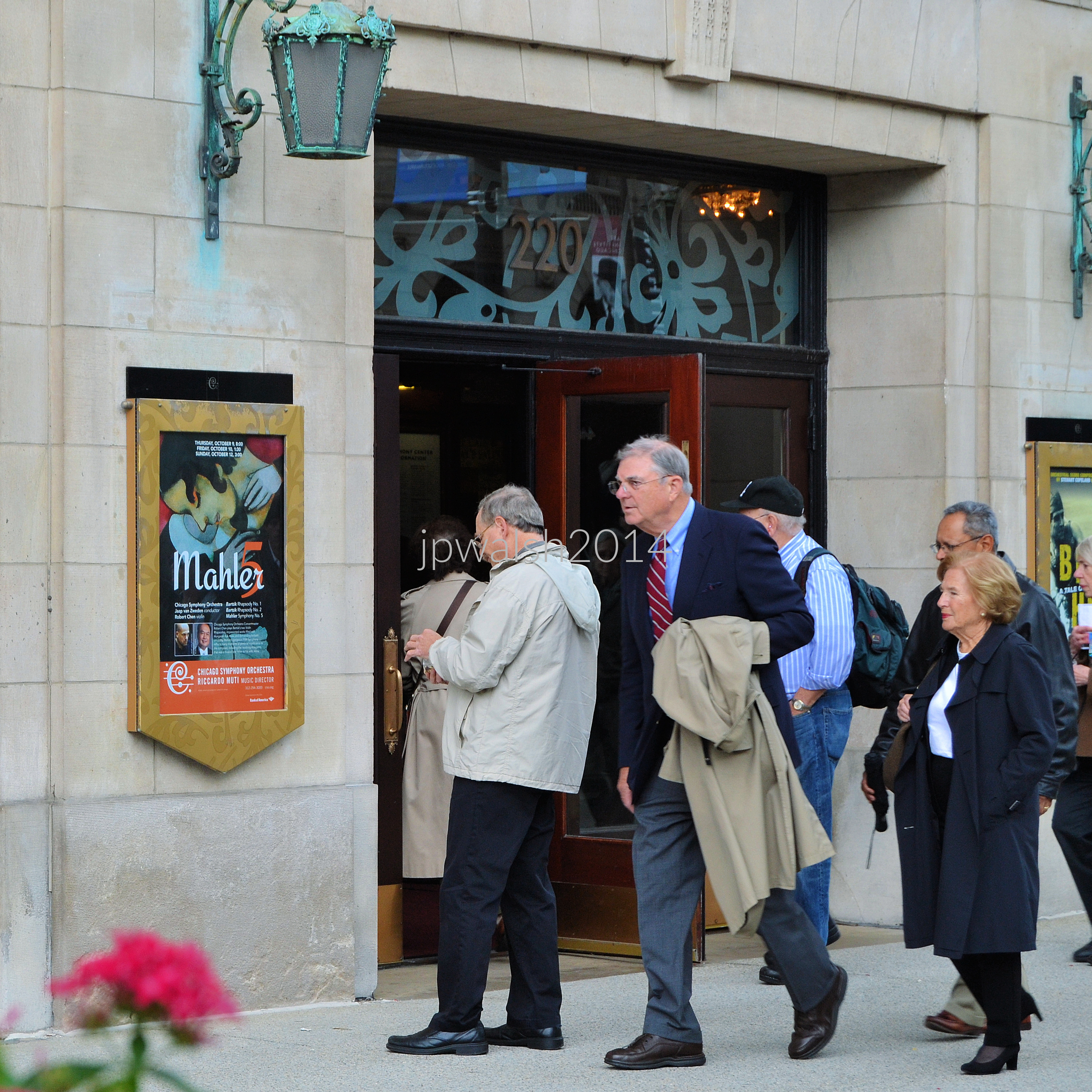
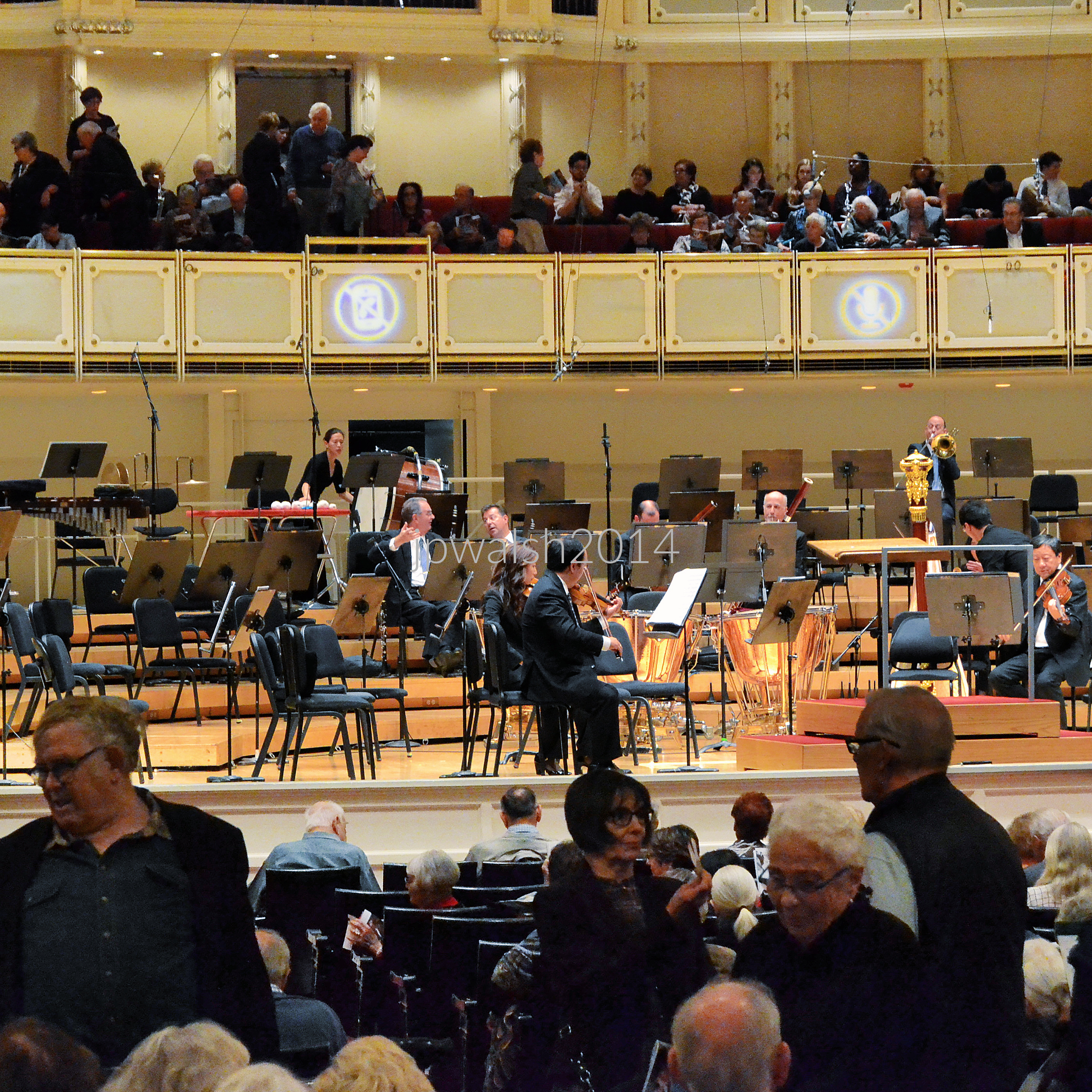




William C. “Bill” Henry (1935-1992) for which this portion of 16th Street is named, was a 24th Ward Chicago alderman. Ald. Henry put together the coalition of Black and white aldermen to elect Eugene Sawyer (1934-2008) as mayor of the City of Chicago following the sudden death of Harold Washington (1922-1987), the first black mayor elected in Chicago.
Responding to accusations of deal cutting, Ald. Henry declared during the debate in the City Council chamber: “Deals? We was all making deals!” Henry’s constituents voted their alderman out of office for helping Sawyer in preference to Tim Evans, the reform candidate. Ald. Henry passed away from cancer in 1992 at 56 years old. In 2021 Timothy C. Evans is the Chief Judge of the Circuit Court of Cook County.
see- http://www.cookcountycourt.org/ABOUT-THE-COURT/Office-of-the-Chief-Judge – retrieved June 3, 2021; https://www.chicagoreader.com/Bleader/archives/2018/10/15/new-podcast-the-city-brings-back-memories-of-alderman-bill-henry-and-dealmaking-in-chicago – retrieved June 3, 2021.



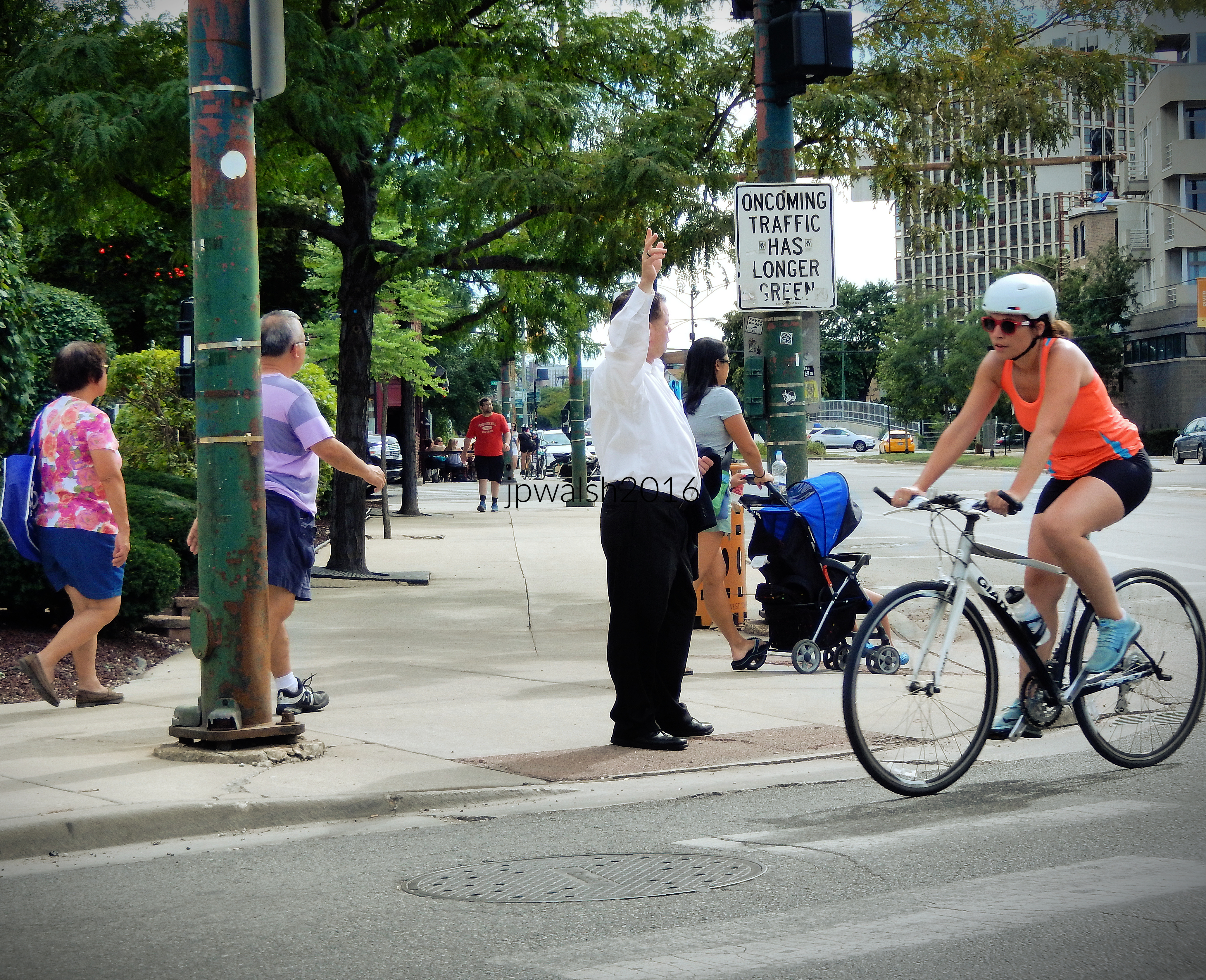
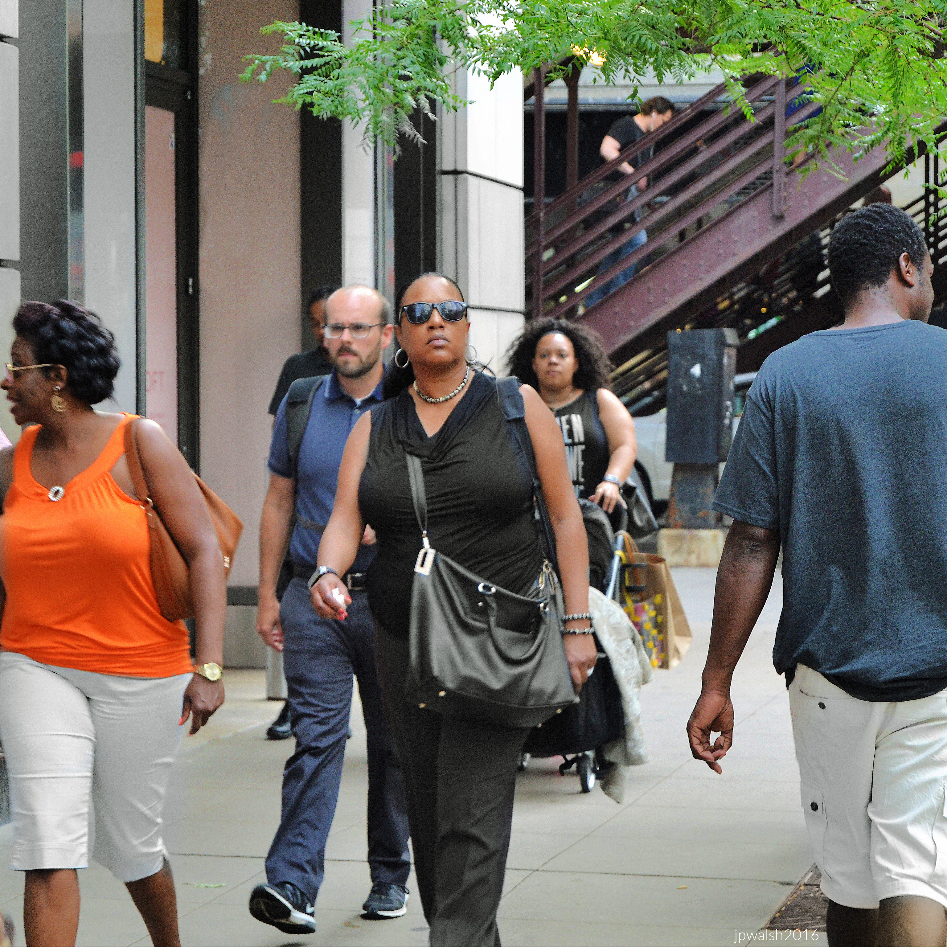
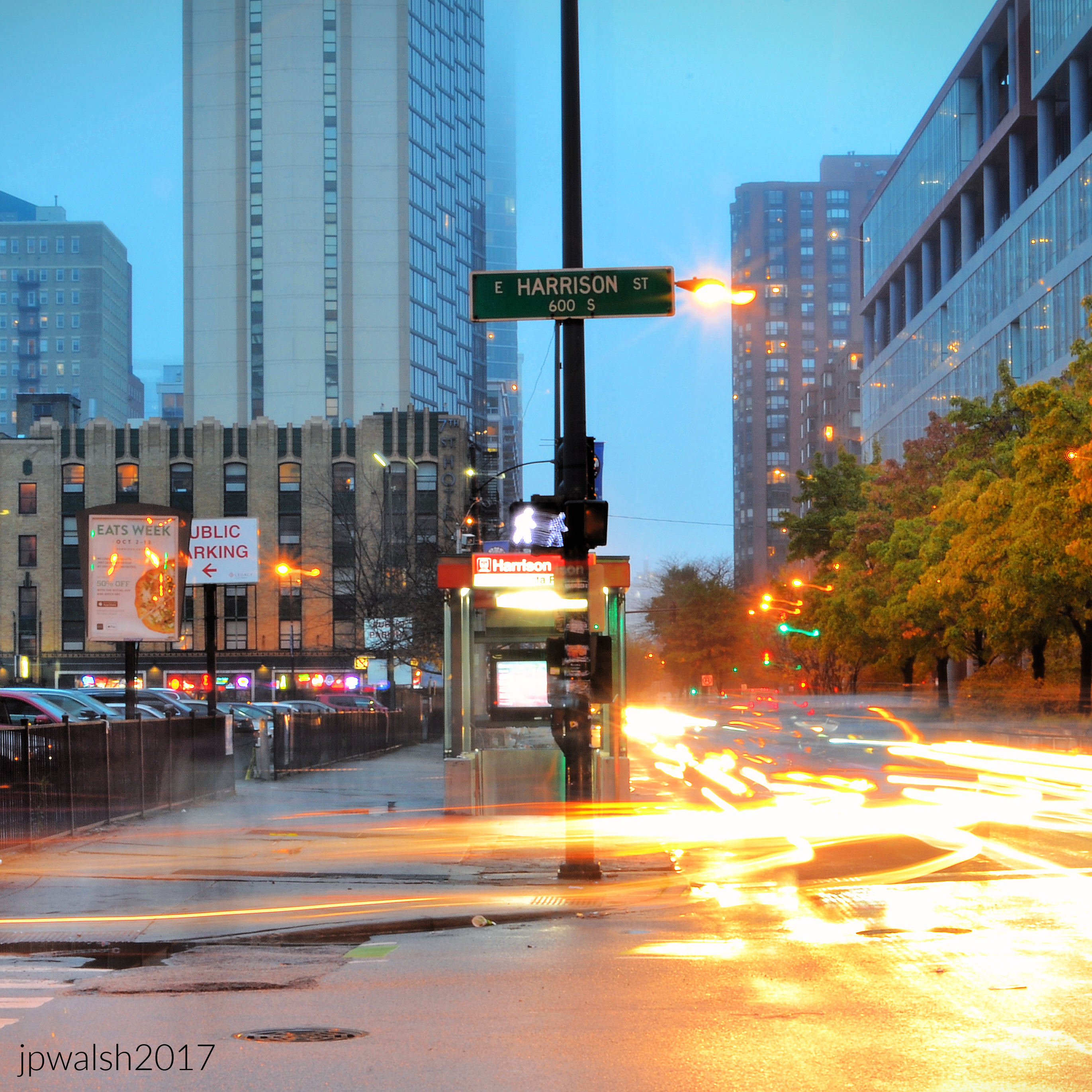
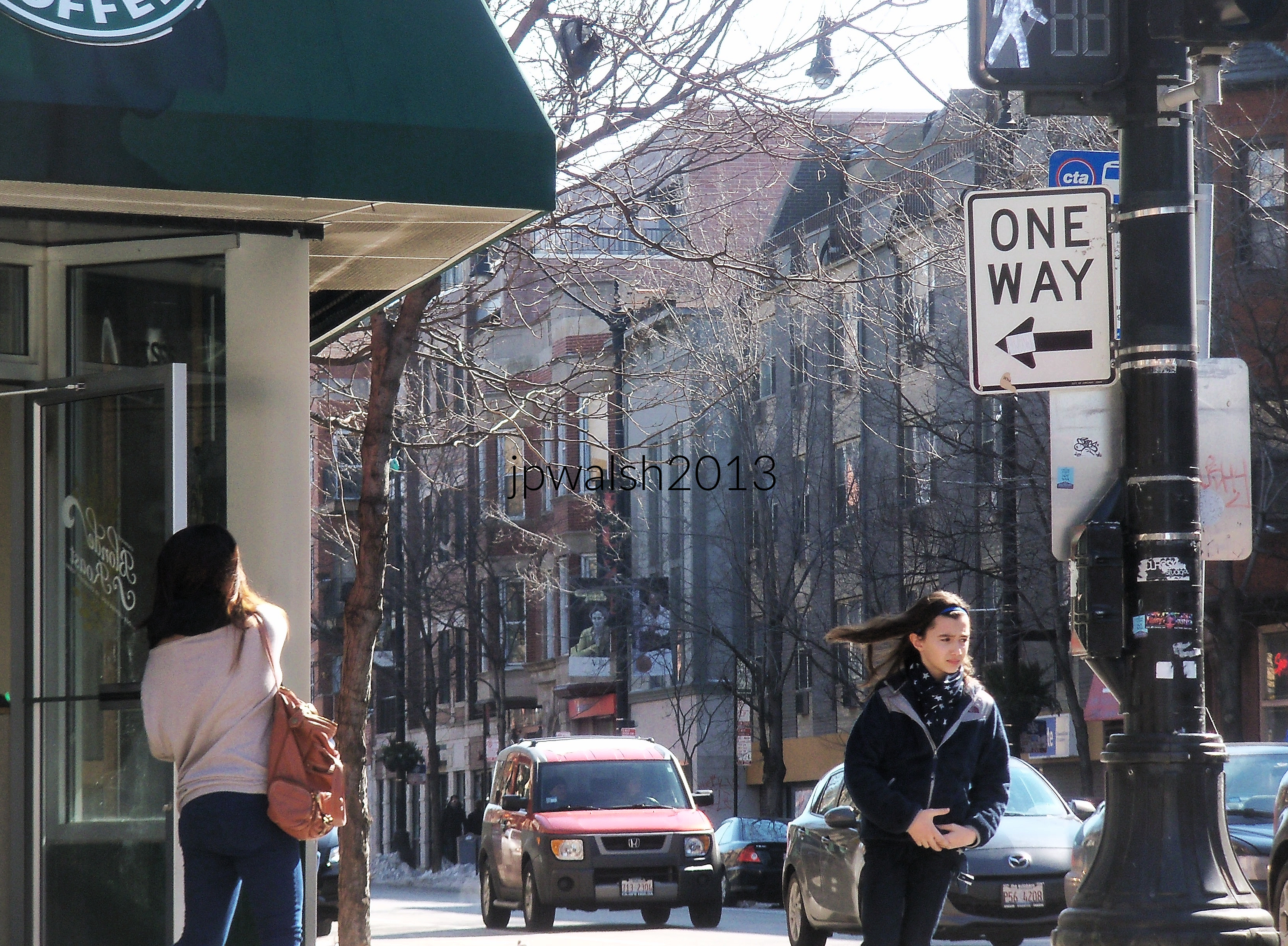
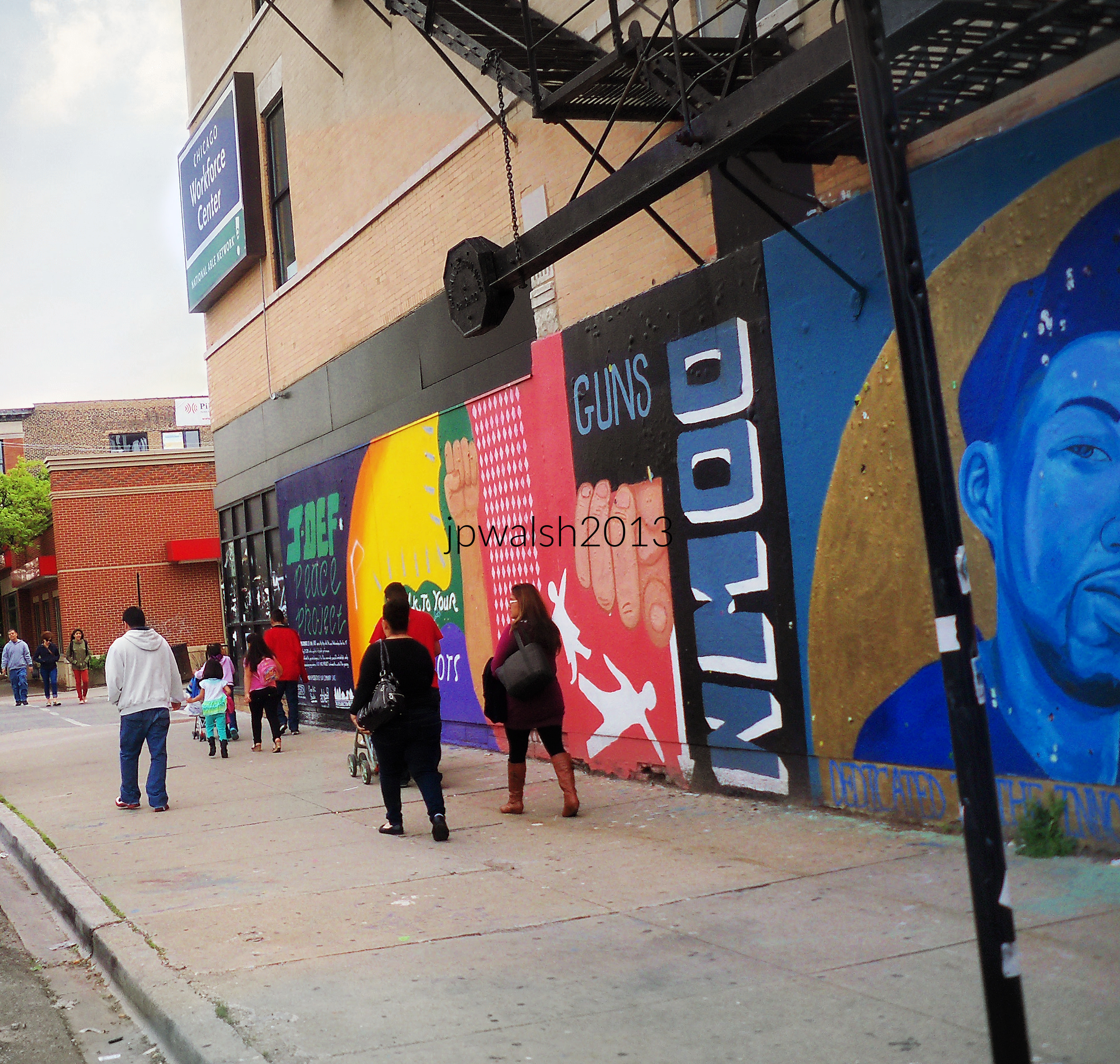
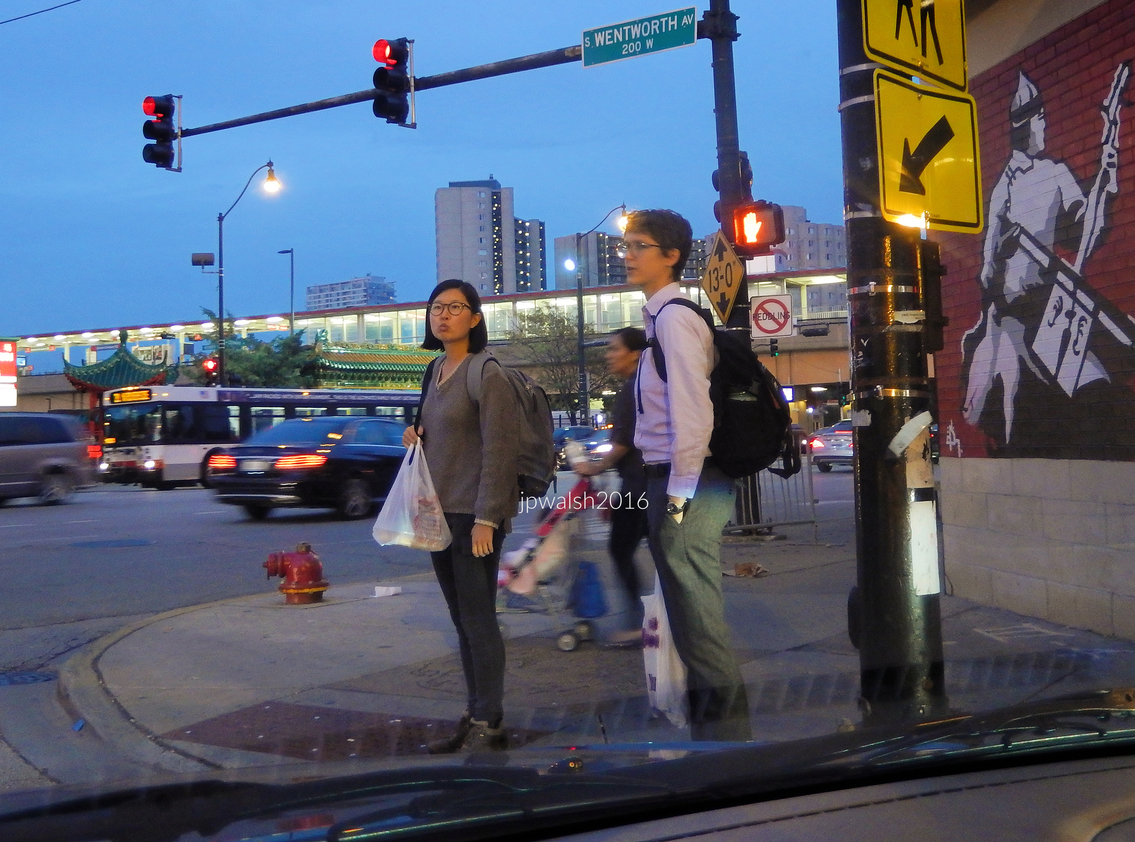

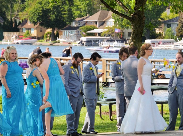
FEATURE Image: June 2017. Pewaukee, WI. Wedding party.


Here are some of my photographs featuring the people, places, and things I have seen on today’s U.S. Midwest roads.
I have a personal affinity and affection for the American Midwest. I grew up in Chicago and its suburbs, and went to school here and live here today. My family has been in Illinois since at least the 1830s.
Growing up in the Midwest, my experiences included family, friends, diverse outings, engaging jobs, and being married here. I love to explore this vast region that’s rightly called “The Heart of America.”
Memories of the Middle West — its sights, sounds, smells, and tastes — and mostly in Illinois, Wisconsin, Indiana and Michigan — are the mother’s milk of my life. In steamy summers, multi-colored autumns, ice-bitten winters, and flowering, reawakening springs to get outside to walk and ride on Midwest roads are pure adventure, then and now.
The American Midwest is filled with human stories and diverse and awesome natural beauty. There is timeless nostalgia, and, if such things don’t entice for the moment, unexpected curiosities.
For those who love it, the Midwest terrain carries all Edgar Lee Masters (1868-1950) spoke on in his last major book, The Sangamon. There is “magic in that soil, in the plains, the borders of forest, the oak trees on the hills,” the poet wrote. Masters was sure that “if you should drive through (this region)…strange dreams would come to you, and moreover those dreams would tally with mine.”
The region continues to offer the sightseer magical things. This includes its primordial aspects, such as animals, birds, natural outcroppings and waterways, as well as impressive remnants of Native American mound-building culture from the Midwest’s southern to northern reaches.
Edgar Lee Masters understood that it is the Midwest’s people – often defined as individualistic, hospitable, diverse, industrious, good-willed, courageous and independent – who imbue the region its greatest distinction. It is a populace and setting that, despite various economic setbacks and pockets of unfortunate decline, build and display what is often photographed on Midwest roads: historic canals, roads, barns and farms, houses. In the 21st century new things of interest can be seen on Midwest roads such as cellphone towers and wind turbines as older things, like barns and even some towns, decay or disappear.
Many famous American and international figures have lived and traveled on Midwest roads such as U.S. presidents, writers, actors, artists, business people, etc. This includes James Monroe (in 1785), Charles Dickens (1842), John Muir (1849), Henry David Thoreau (1861), Antonín Dvořák (1893), Winston Churchill (1946). Midwest natives include Carl Sandburg, Ernest Hemingway, Thomas Edison, Edgar Lee Masters, Walt Disney, Mark Twain, Jane Addams, Harry S Truman, Dwight Eisenhower, Ronald and Nancy Reagan, Barack and Michelle Obama, Frank Lloyd Wright, Kurt Vonnegut Jr., John Wayne, Wyatt Earp, “Wild Bill” Hickok, Jesse James, F. Scott Fitzgerald, Judy Garland, Dinah Washington (“Queen of the Blues”), and many, many more.
But It is Abraham Lincoln whose memory is most famously linked to Midwest Roads. Riding on his horse, “Old Bob,” Lincoln loved to travel the Eighth Judicial Circuit in central Illinois as a defense lawyer. It is to the 16th U.S. president and a Midwestern spirit he manifested to whom this photographic essay is dedicated.
SOURCES: E.L. Masters quotes from The Sangamon by Edgar Lee Masters with Introduction by Charles E. Burgess, University of Illinois Press, Urbana & Chicago, 1988 (first published 1942), p.6.
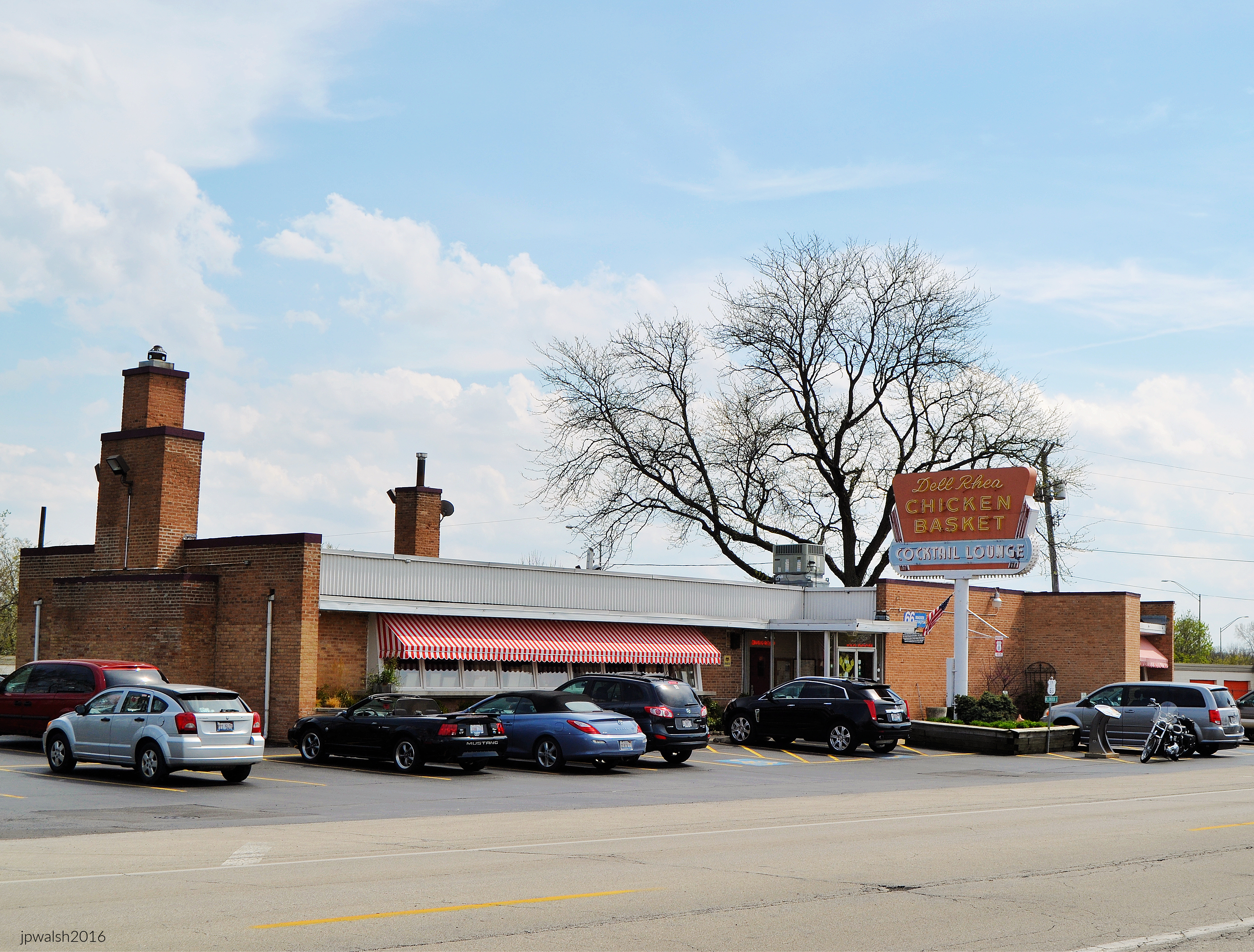
The Chicken Basket is a mandatory dine-in or carry-out stop on a “Midwest Roads” visit. Vintage roadhouse decor and family-oriented service is joined to the menu which features fresh, succulent fried chicken cooked-to-order.
The business first opened in 1926 as a gas station and lunch counter on the brand-new Route 66. U.S. Route 66 traveled from Chicago to Los Angeles, California —a distance of more than 2,000 miles.
In 1939, fried chicken was served for the first time by its original owner, Irv Kolarik.
In 1946 the present one-story brick commercial building was designed and built by architect Eugene F. Stoyke (1912-1993) next to the original building. It was during the post-World-War-II travel (and baby) boom that it became a full-service restaurant.
Dell Rhea’s bay of 9 single-light-glass-and-wood-canted windows is original where an immense fireplace anchored the dining area’s north wall. The neon-and-metal sign in the photograph was original when this photograph was taken. It was replaced in 2017 with an exact replica. In 1956, a cocktail lounge was added to the south.
In 1962 Interstate 55 opened—the major expressway connecting Chicago, St. Louis, Memphis and New Orleans—and effectively retired U.S. Route 66 in this part of Illinois.
In front of the restaurant there was a Bluebird Bus stop (founded in 1927) which people could take to St. Louis or use to send packages across country.
In 1963 the Chicken Basket was bought by Chicago businessman Delbert Francis “Dell” Rhea (1907-1992) who knew how to invigorate the eatery while maintaining its tradition for a new era.
The popular Chicken Basket was owned and managed by the Rhea family until 2019. The Lombardi family took over with the promise to keep intact the original recipe which is unchanged since 1946 and continue the same Chicken Basket tradition.
SOURCES: http://www.chickenbasket.com/ and https://www.nps.gov/nr/travel/route66/dell_rheas_chicken_basket_hinsdale.html.
White Fence Farm is 30 miles southwest of downtown Chicago at 1376 Joliet Road in Romeoville, Illinois. In the 1920s Stuyvesant “Jack” Peabody (1888-1926), son of a wealthy coal baron, opened White Fence Farm to feed his personal guests who visited his 500-acre horse farm on the opposite side of the newly-opened U.S. Route 66.
In the mid1930s Peabody started to promote the domestic wine industry by featuring California wines at the Romeoville restaurant.
(Above) Children of coal magnate F.S. Peabody (1859-1922) in a photograph from around 1910. When May died at 44 years in 1936 her estate was valued at around $500,000 – about $10 million in 2021. F.S. Peabody was the largest coal producer in the U.S. He died in 1922 in Oakbrook, Illinois, at 63 years old after he suffered a heart attack at a house- warming party he was giving to celebrate the completion of his new mansion.
Since 1954, the Hastert family has owned and operated White Fence Farm. Advertising itself as the “World’s Greatest Chicken,” the restaurant building has been expanded many times under the Hasterts. Within a country farm manor ambience, the popular restaurant boasts several dining rooms that can seat over 1,000 diners. White Fence Farm continues to offer some of freshest and best-tasting fried chicken in and around historic U.S. Route 66. The restaurant is a perennially popular destination, especially on weekends and during the warm weather months, where tourists and locals arrive in droves.
see – https://www.findagrave.com/memorial/207904858/francis-stuyvesant-peabody; https://www.findagrave.com/memorial/213107315/may-henderson-osborne; https://www.findagrave.com/memorial/176456605/stuyvesant-peabody – retrieved October 19, 2021.


Since 2023 the old-fashioned walk-up ice cream window shop is under new ownership by Rockford natives and called Willyums Dari Fair.

Rich & Creamy with its figures of “Joliet” Jake and Elwood Blues (“The Blues Brothers”) atop its flat roof is a classic ice cream stand on the old Route 66 highway.

U.S. Route 20 stretches from Boston, Massachusetts, to Newport, Oregon. That’s about 3,100 miles. Route 20 began its development on the East Coast in the early-mid1920’s. The road reached Illinois in 1938 and is mostly unchanged since that time. In 1955 the Illinois General Assembly designated the road’s length in Illinois the U.S. Grant Memorial Highway. The sign was produced in late 2006.









Corn for sale.


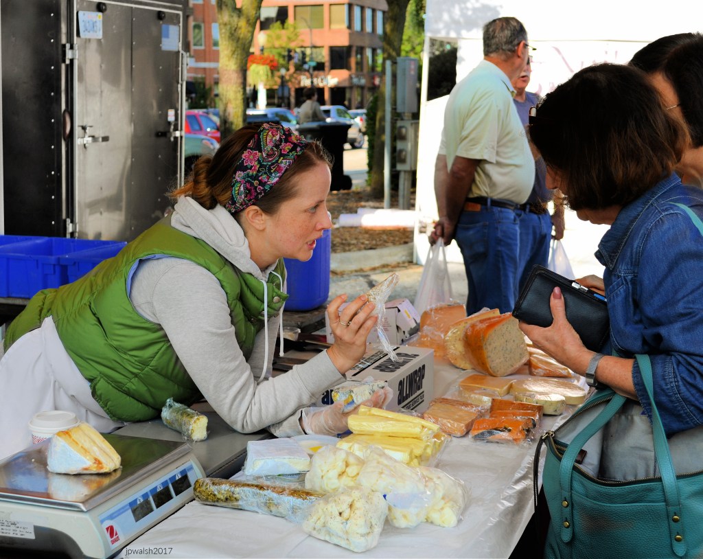

The small frame house, c. 1860, was moved or demolished before November 2018. The candy store, in business in West Dundee since 1998, reopened in another location “around the corner” by March 2017. see – https://www.chicagotribune.com/suburbs/elgin-courier-news/ct-ecn-west-dundee-around-corner-candy-moved-st-0312-20170310-story.html – retrieved July 2, 2021.


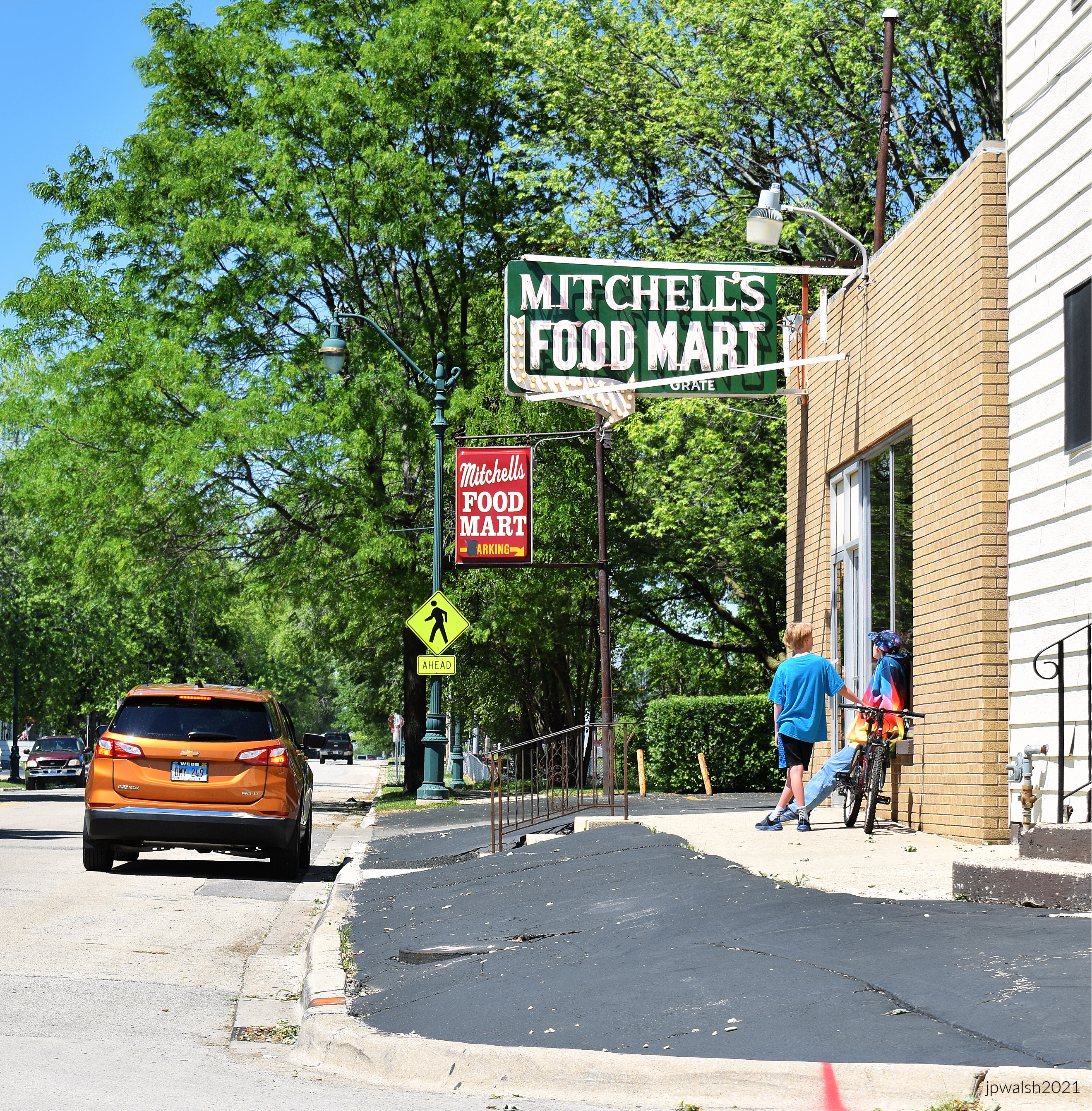
In the early 1950’s, Alfred, Jr. (Mitch) and Norma Mitchell opened a small grocery store on the corner of Raynor and Curtis Avenues. In 1957, it was expanded to the present location adjacent to the original building. A short time later, Harley Mitchell joined his brother.


“In honor of ABRAHAM LINCOLN Who practiced law from 1851 to 1859 Before the Supreme Court of Illinois At its sessions then held in the old La Salle County Court House on this site Erected by the Illini Chapter Daughters of the American Revolution 1922.”


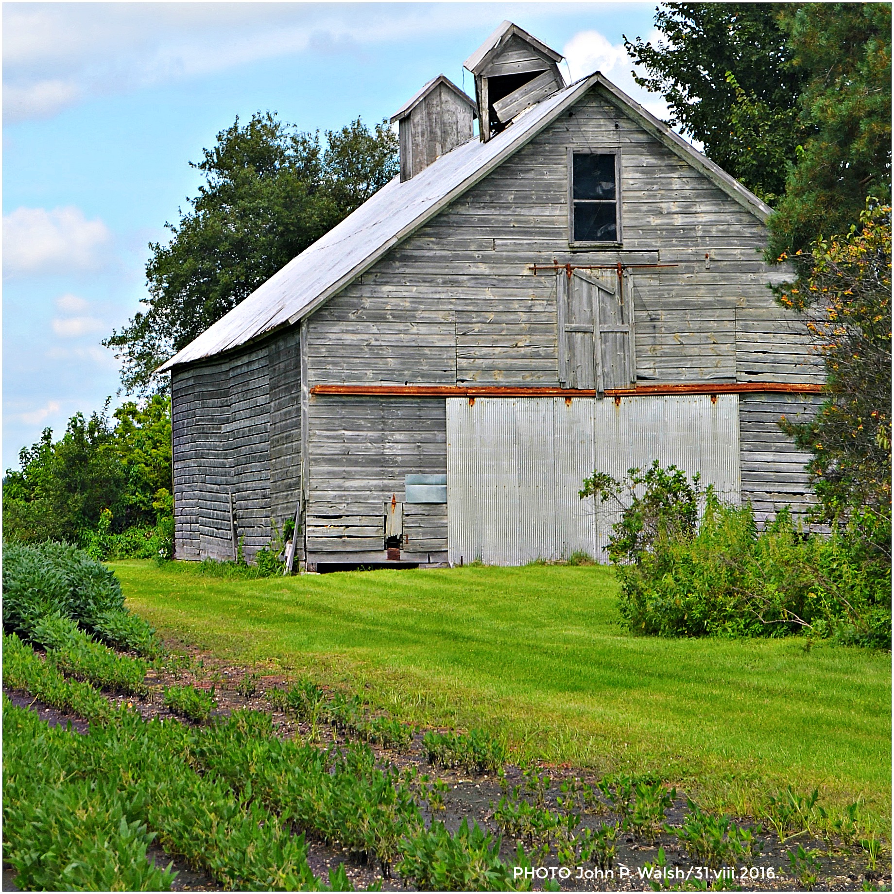
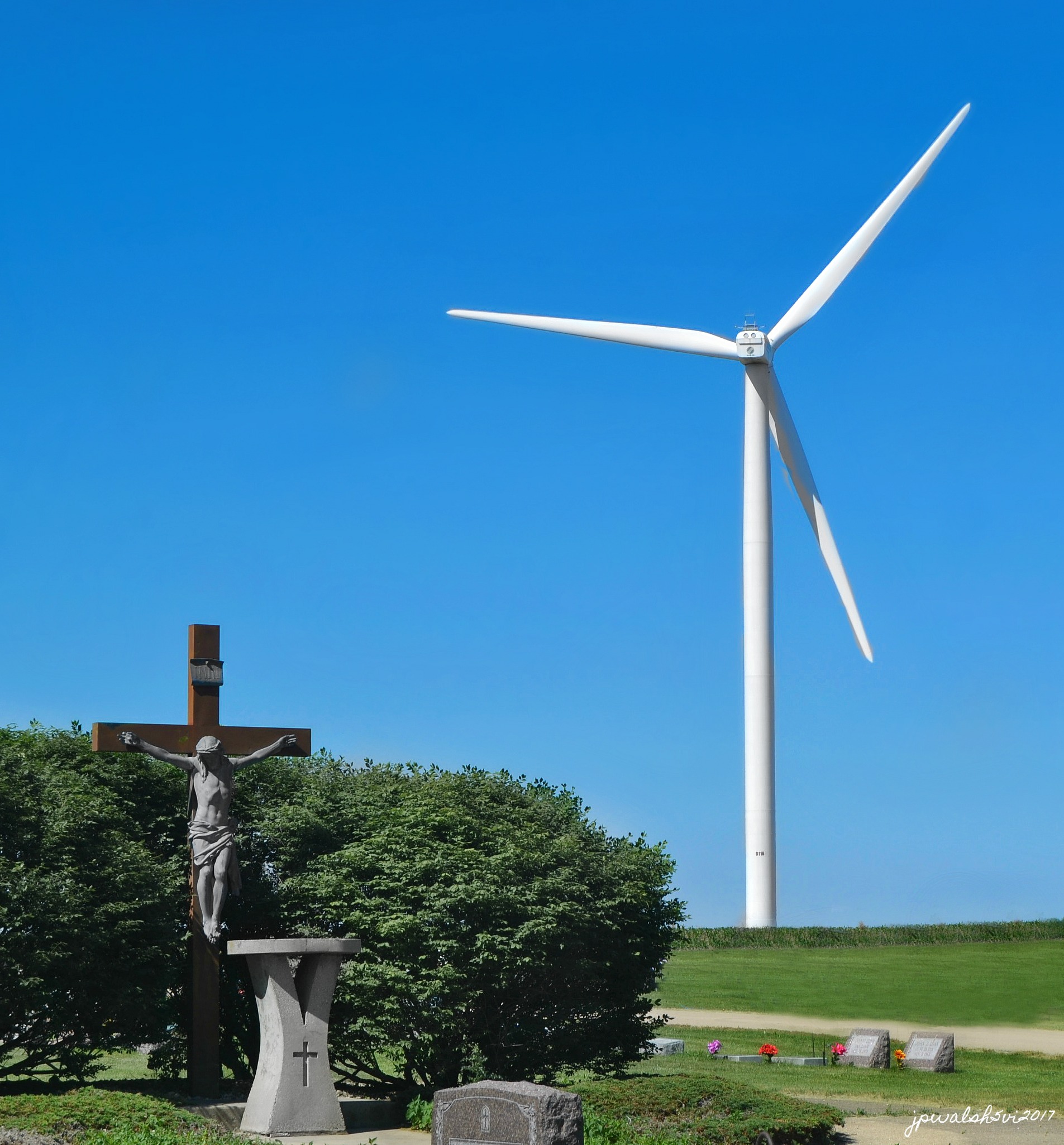


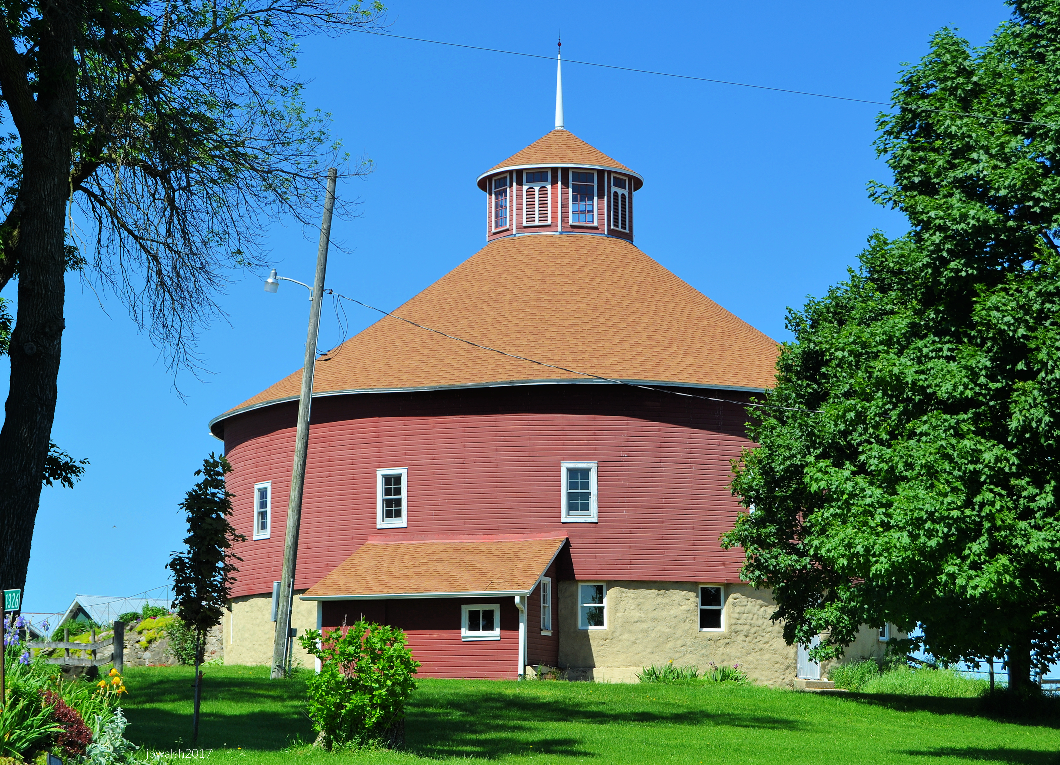
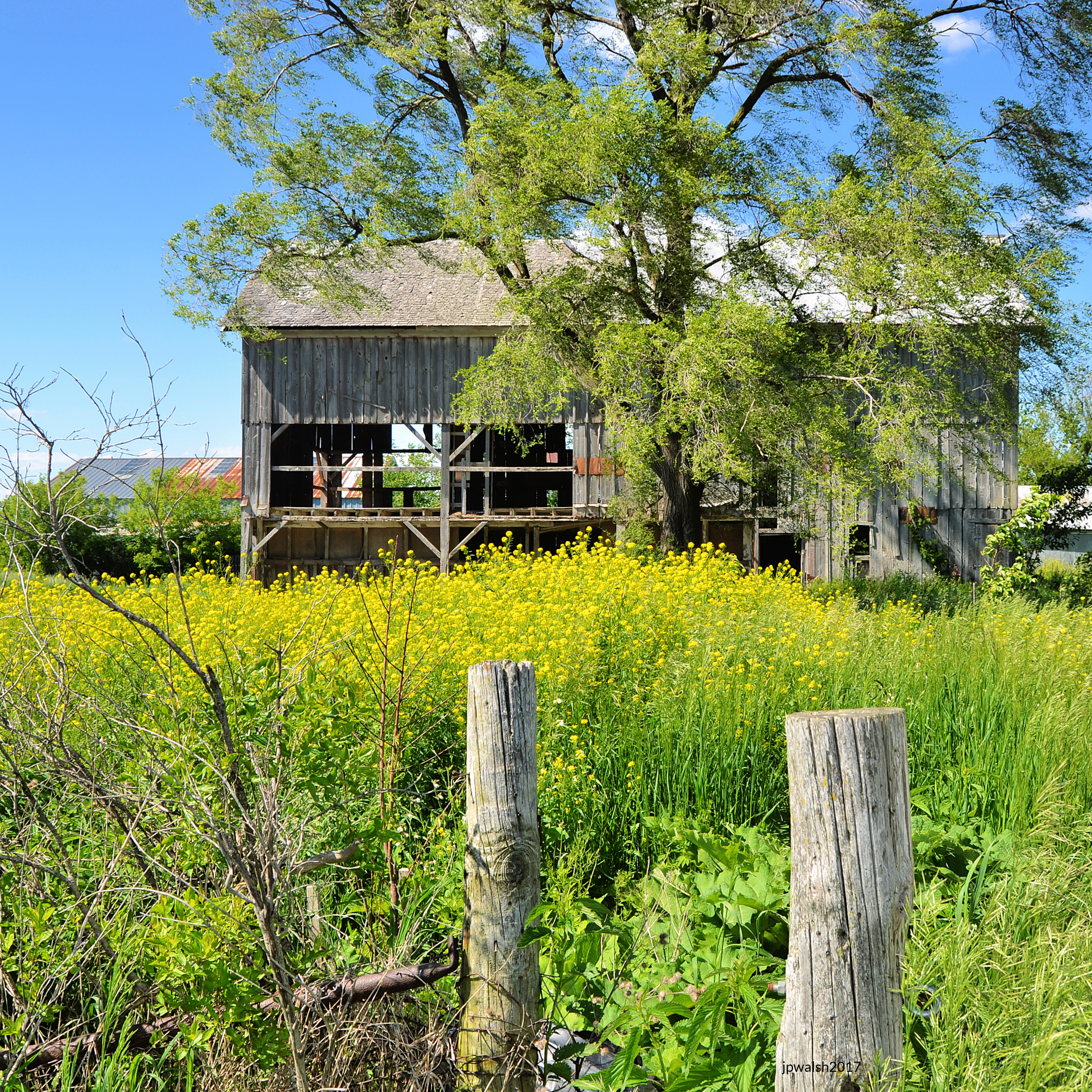
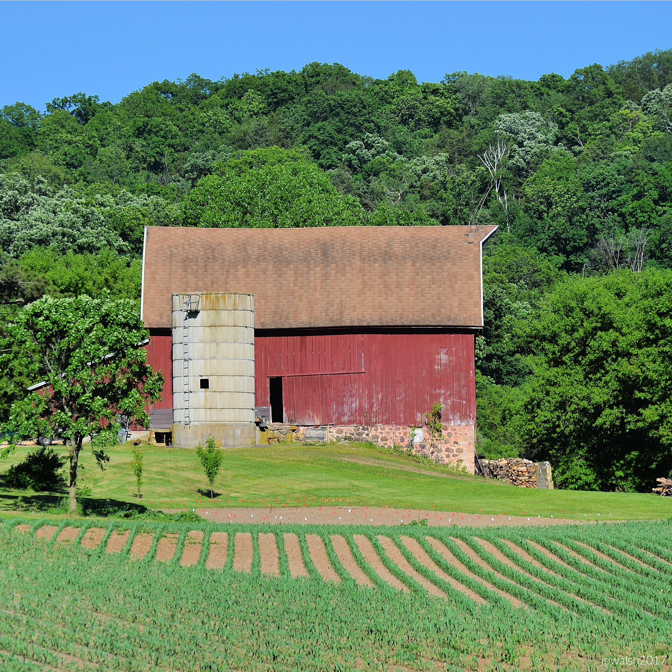





Air Classics Museum of Aviation, Sugar Grove, IL. NORTH AMERICAN AVIATION P-51D MUSTANG was an American long-range, single-seat fighter/bomber used during World War II. At the start of the Korean War, the Mustang was the main fighter of the United Nations until jet fighters (such as the F-86) took over. In the background is the CURTISS-WRIGHT CORP P-40 WARHAWK made famous by the Flying Tigers that were flown in China in 1941.
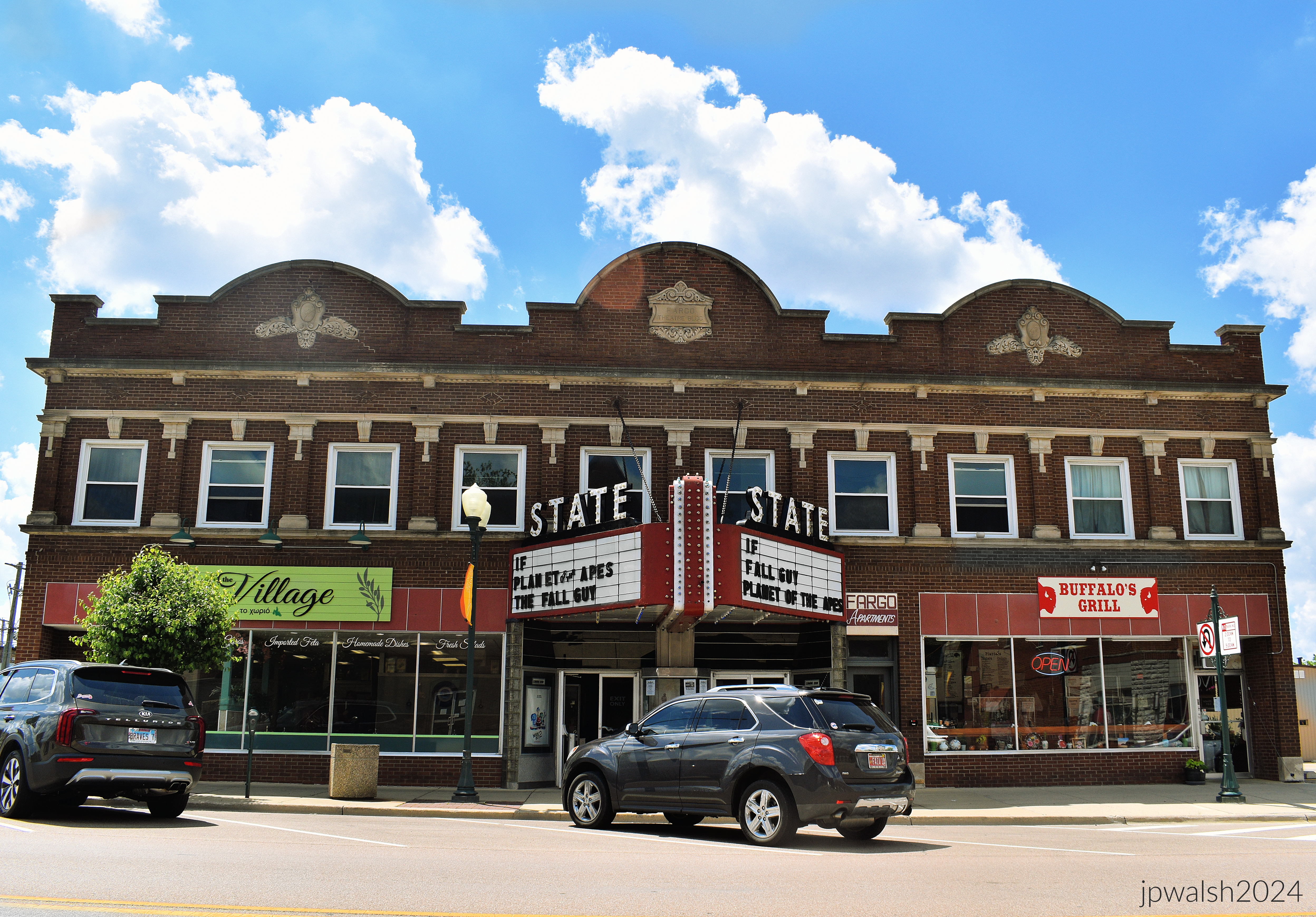
The State Theater in Sycamore, Illinois, opened as the 900-seat Fargo Theater on December 12, 1925. It was equipped with a Geneva pipe organ. It closed on November 2, 1938, and reopened later that month with 491 seats. On August 6, 1940, it was renamed the State Theater. Today it is triplex theater showing first run films. In summer 1996 we saw “Independence Day” here. https://cinematreasures.org/theaters/1658 – retrieved January 19, 2025.

Founded in 1833, Batavia (originally, “Head of the Big Woods”) is the oldest city in Kane County.


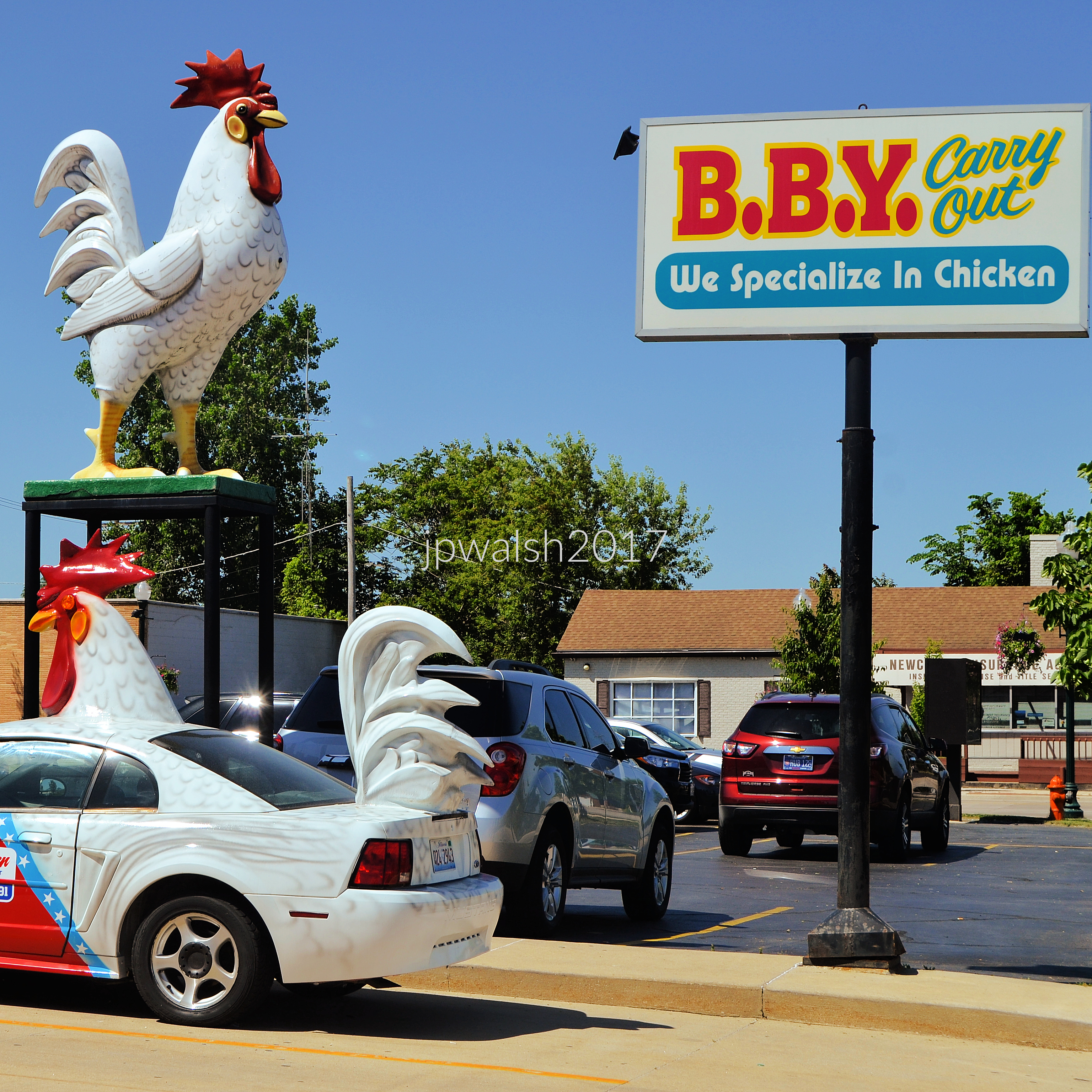
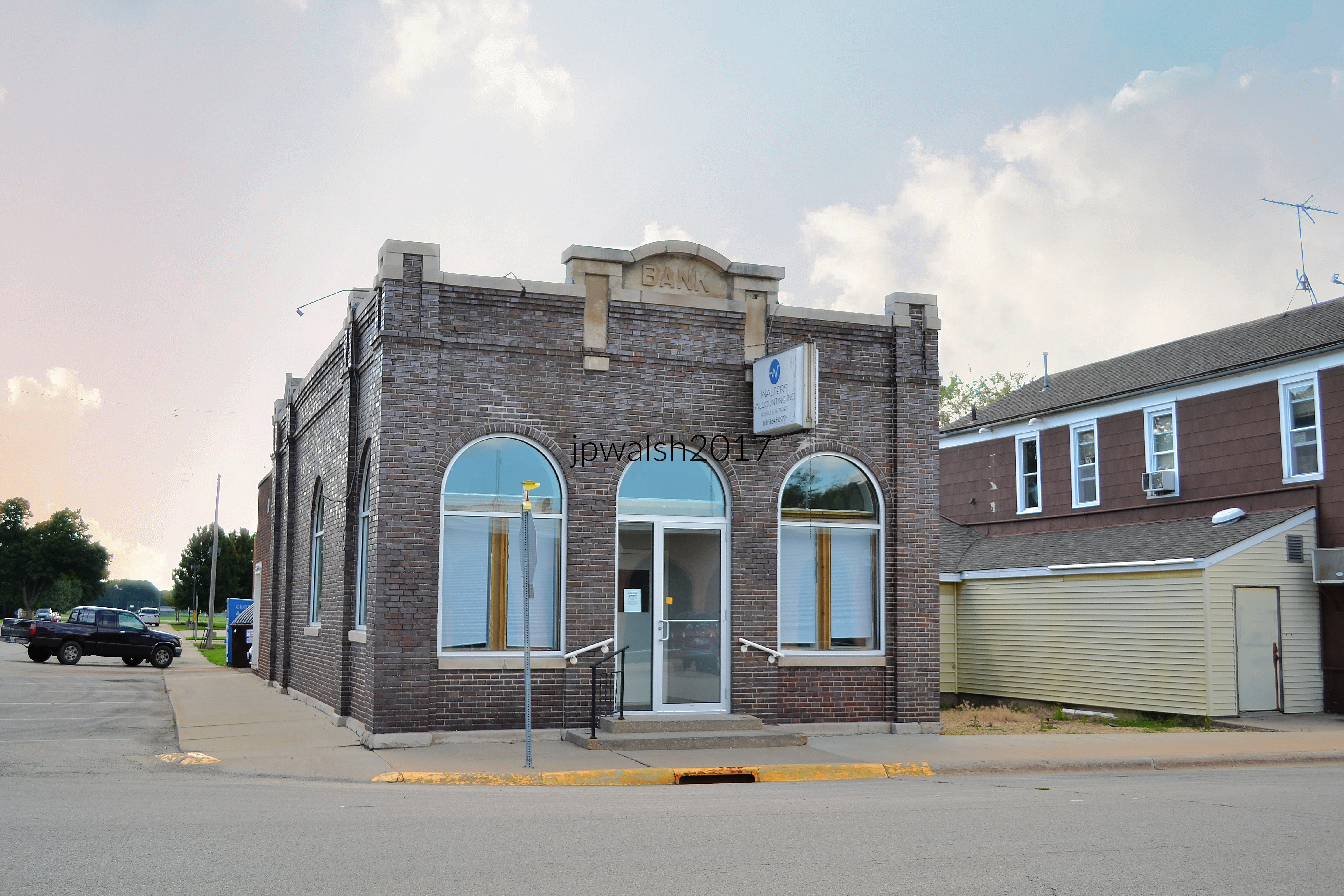
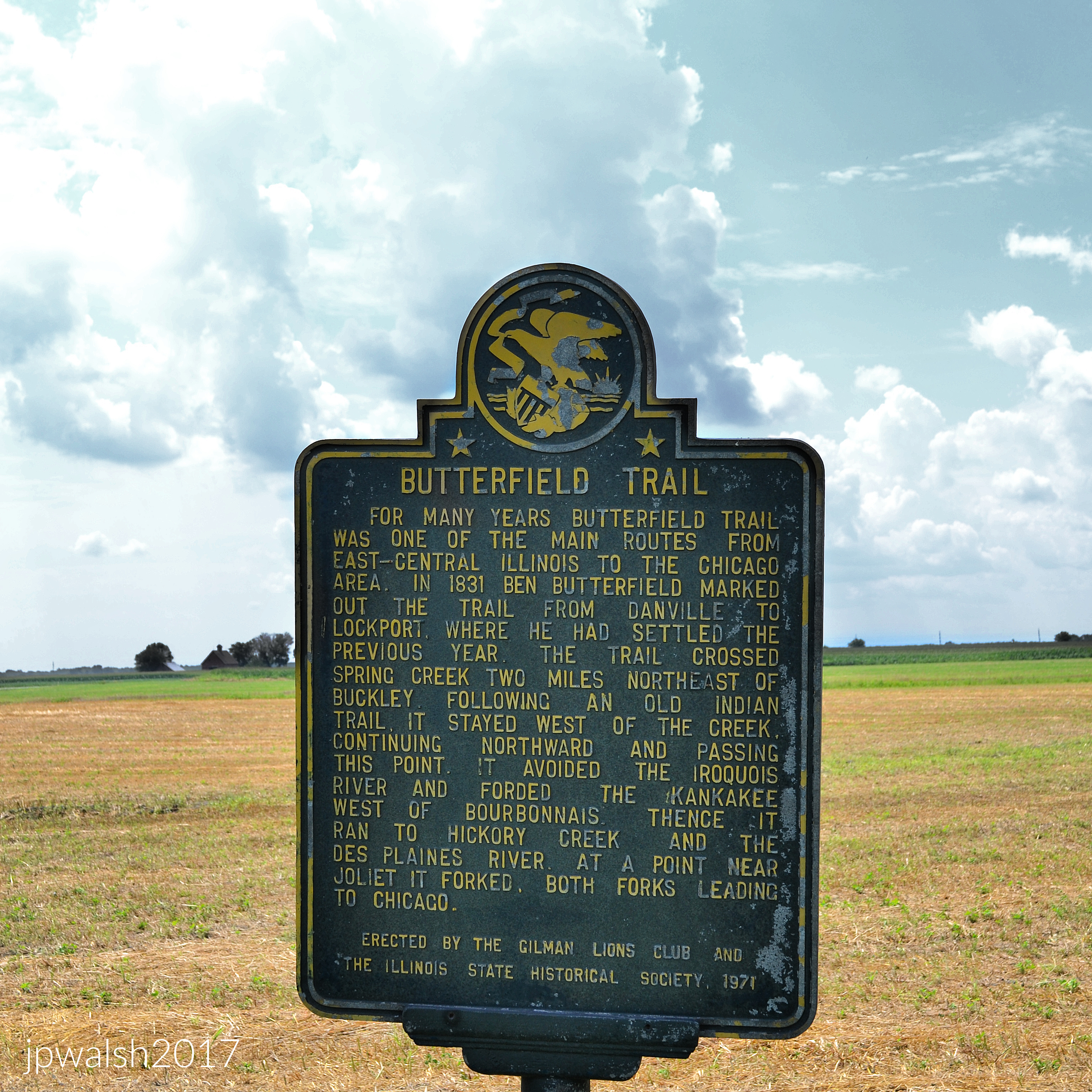


The event’s website claims: “”

“Among the quiet rows of flags, a new generation learns what remembrance looks like. This stirring display of 2,000 flags brings the community together in a patriotic tribute to honor our heroes.”
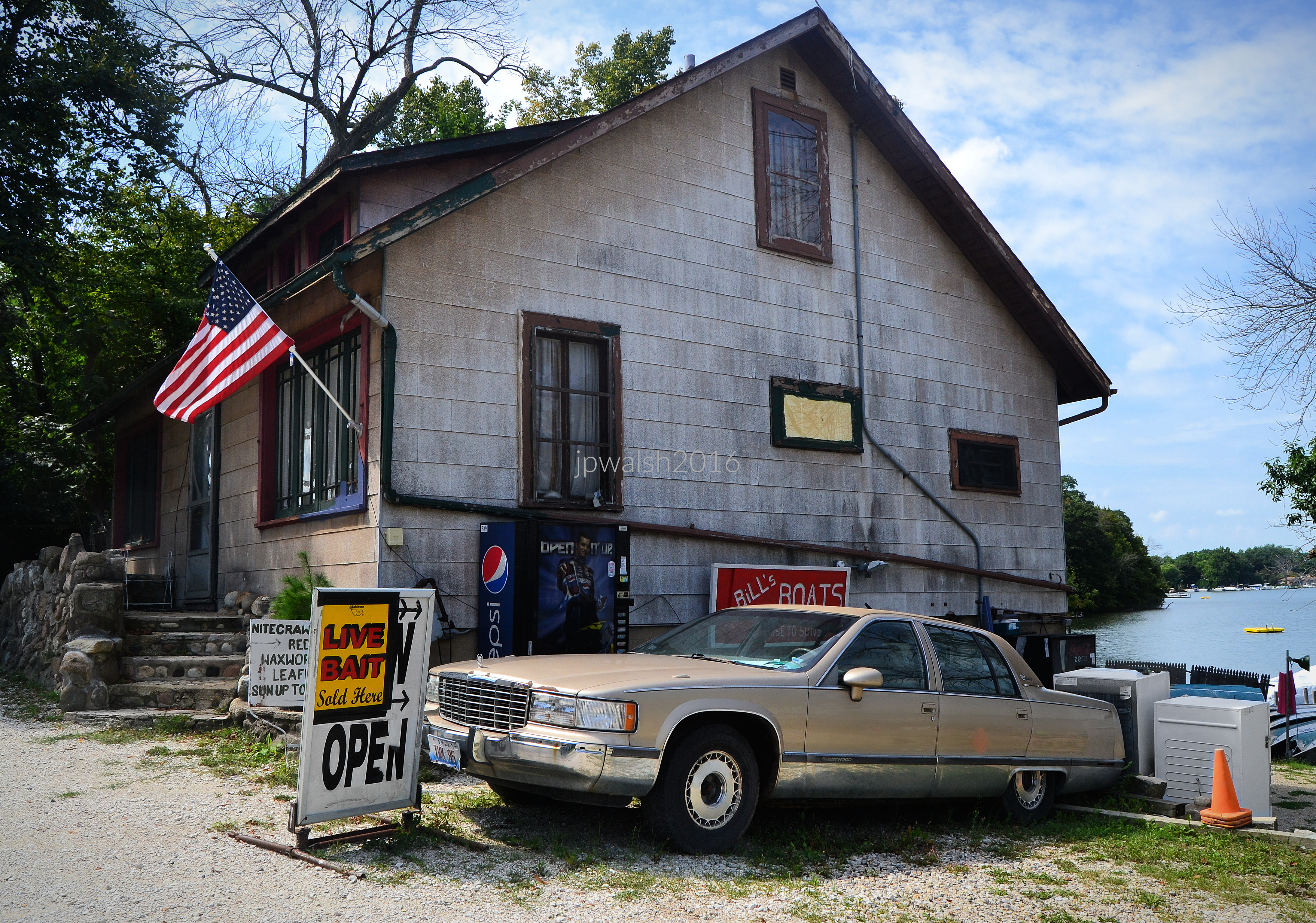


The oldest surviving building in Richmond, Illinois, was built 1844 by Charles Cotting, a pioneer who platted the town and built its first mill. The house sits on a river stone foundation.

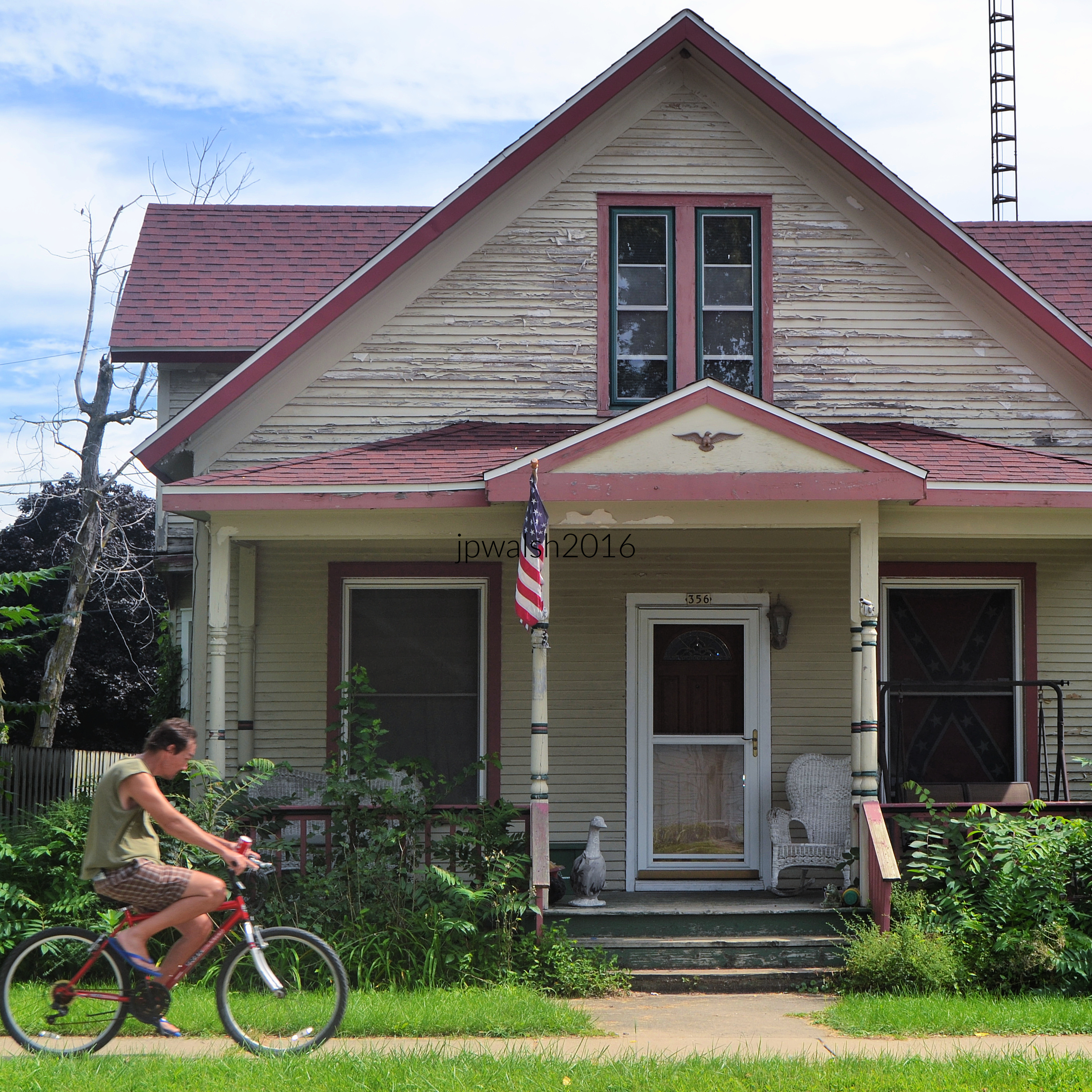
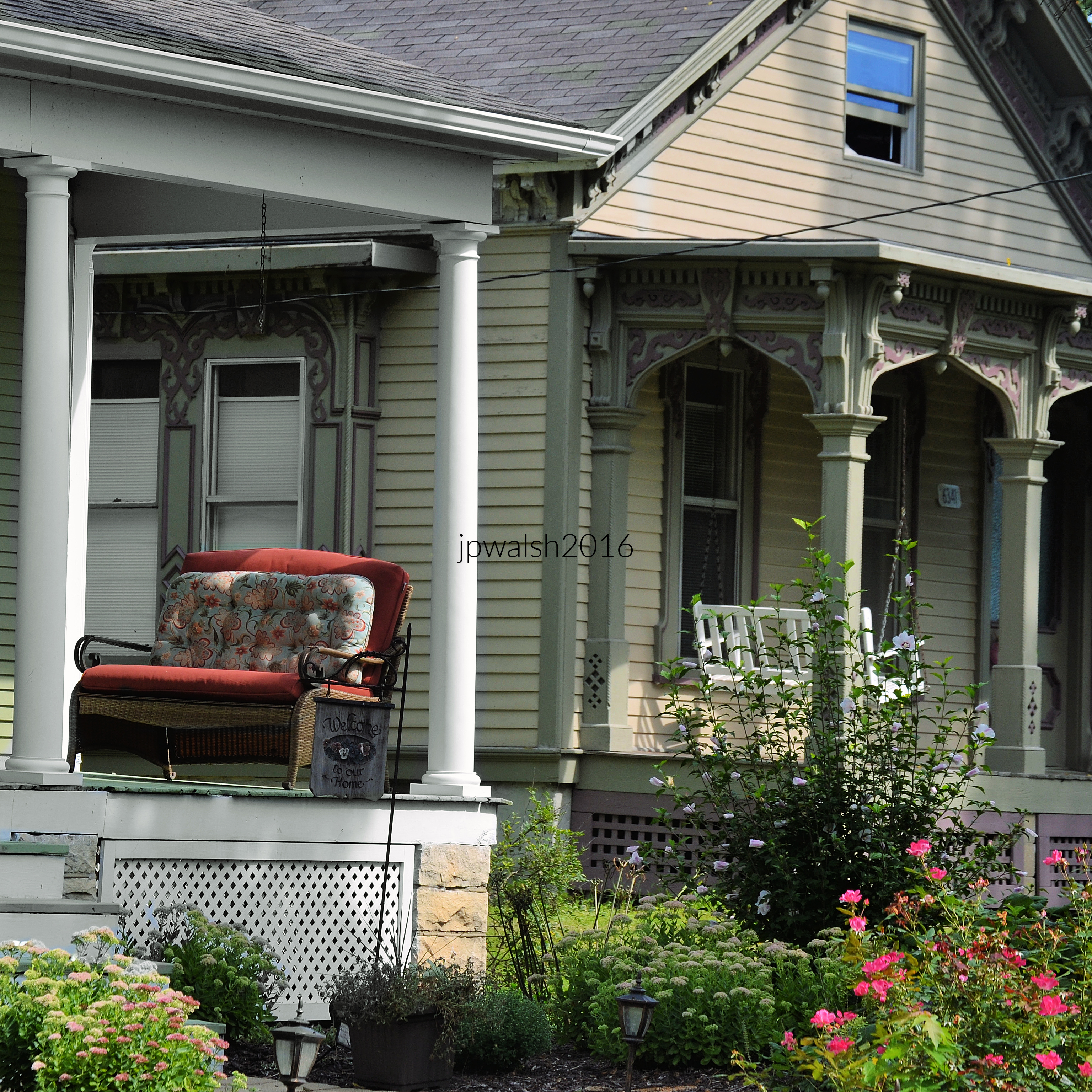

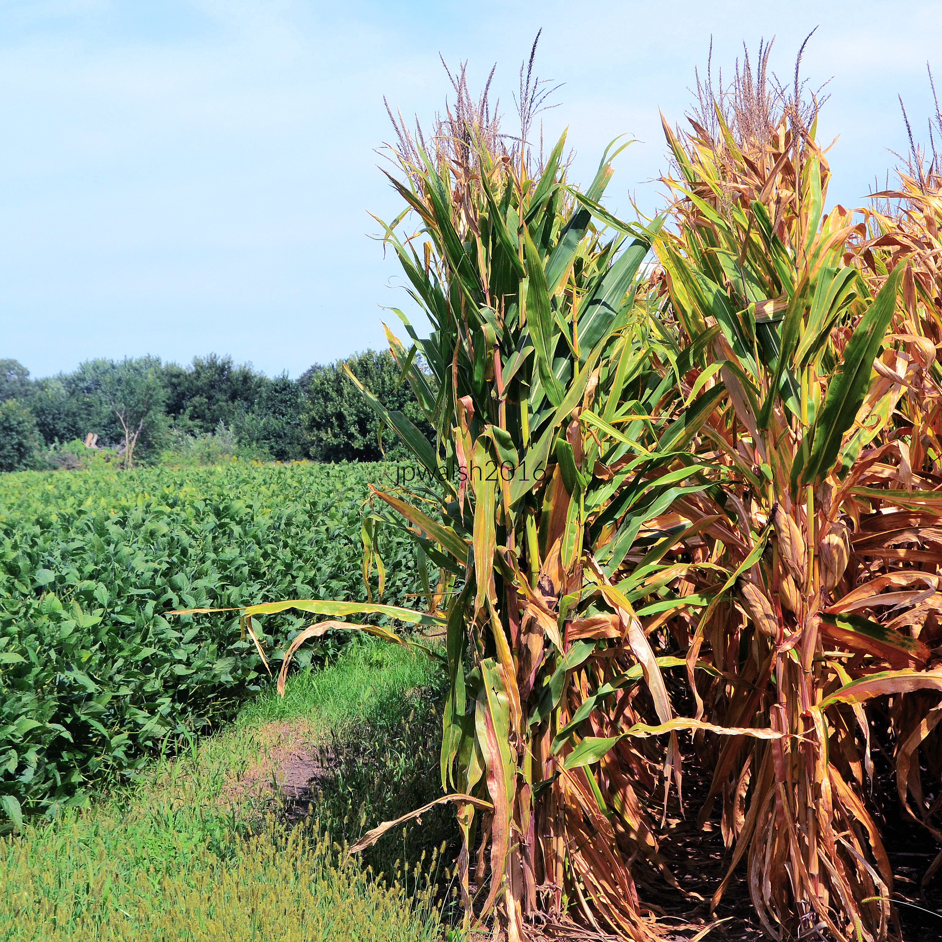



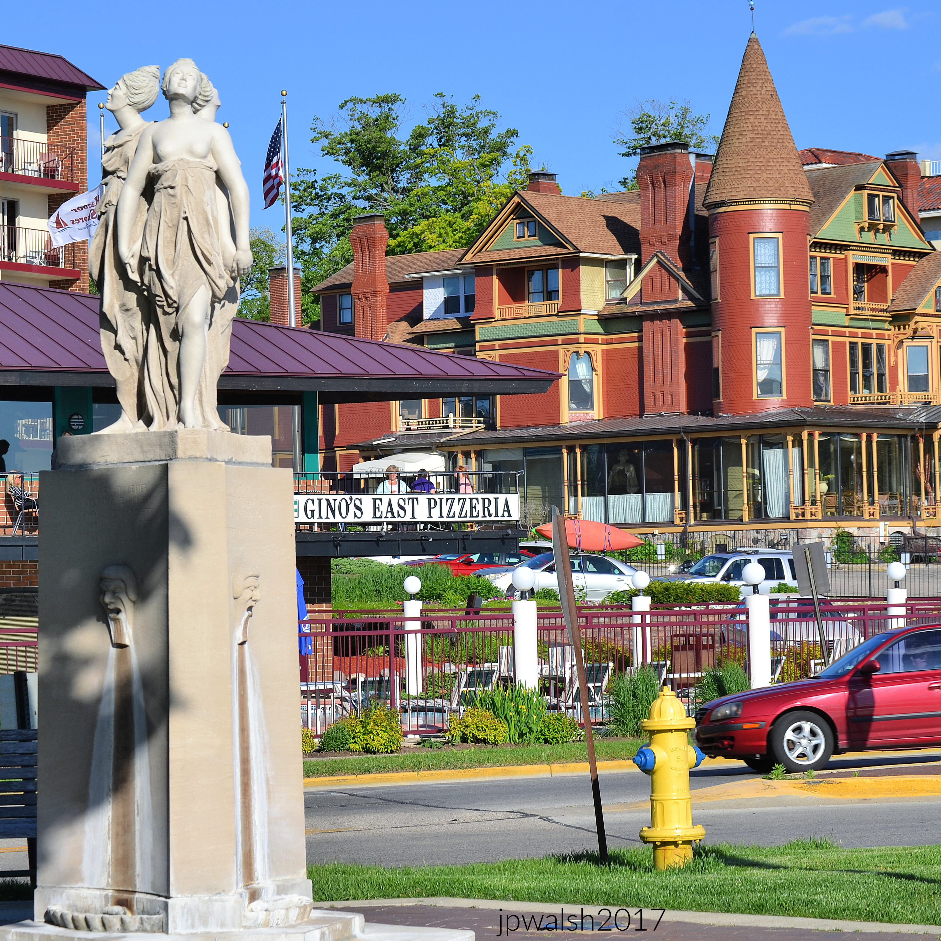


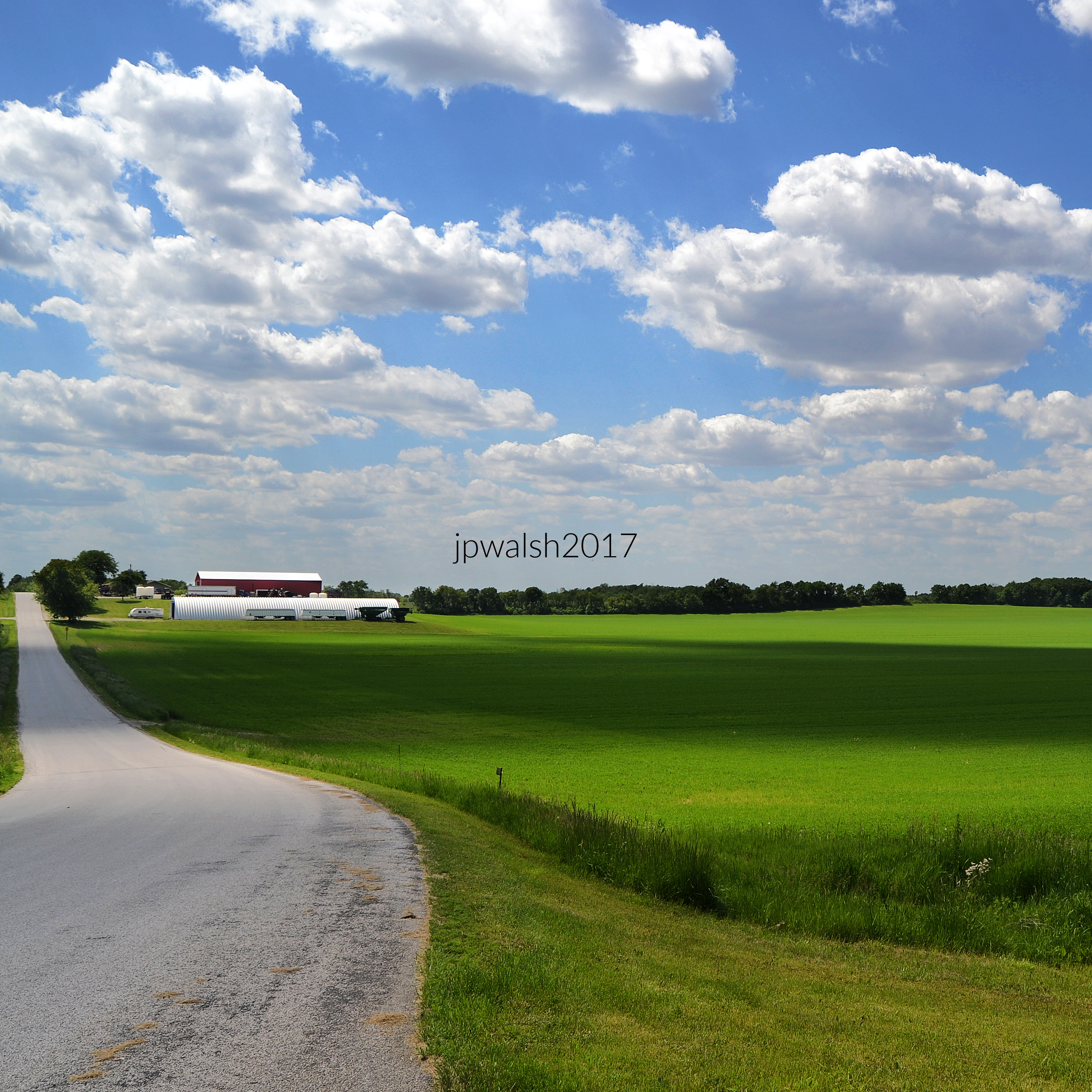
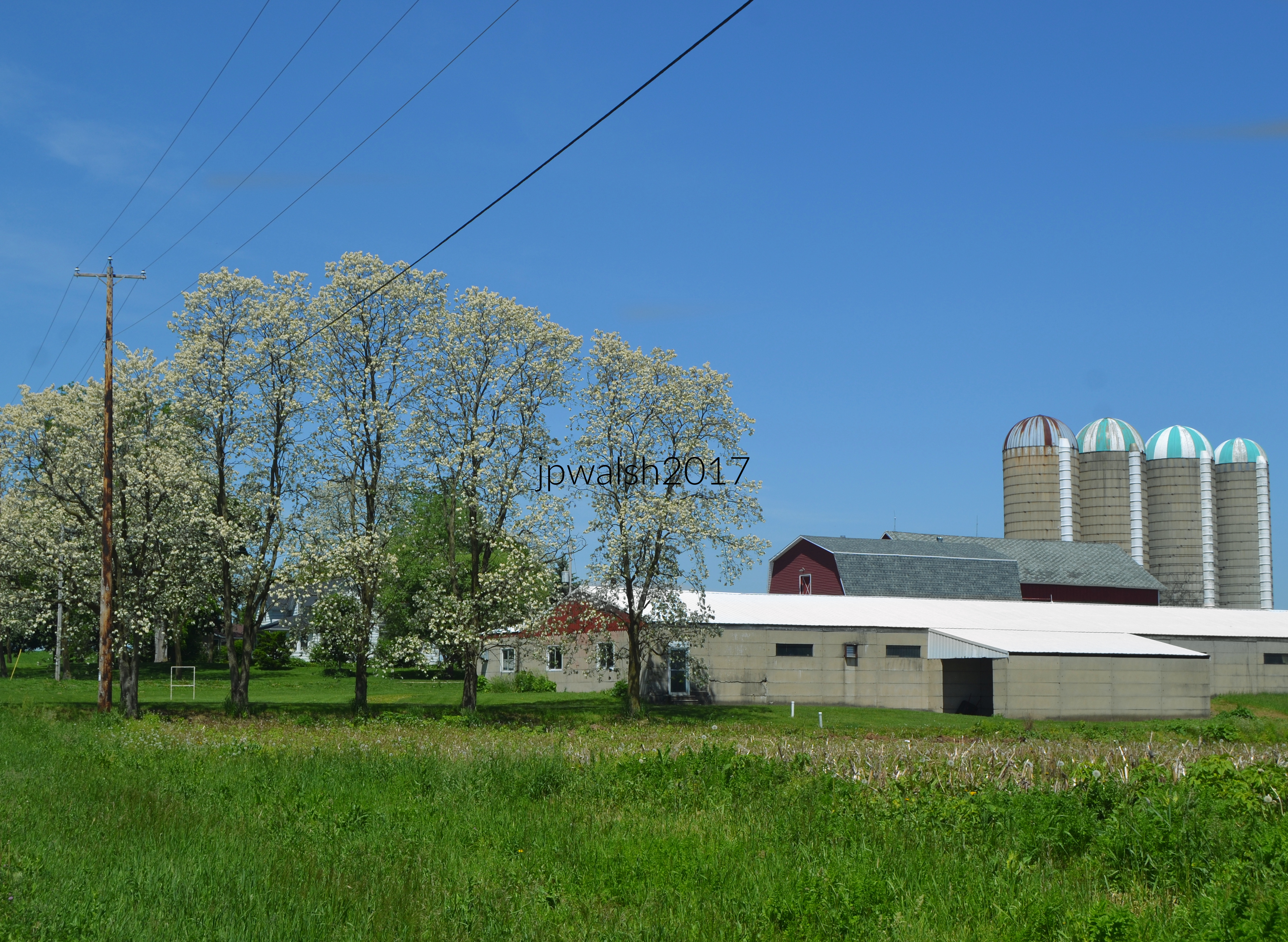
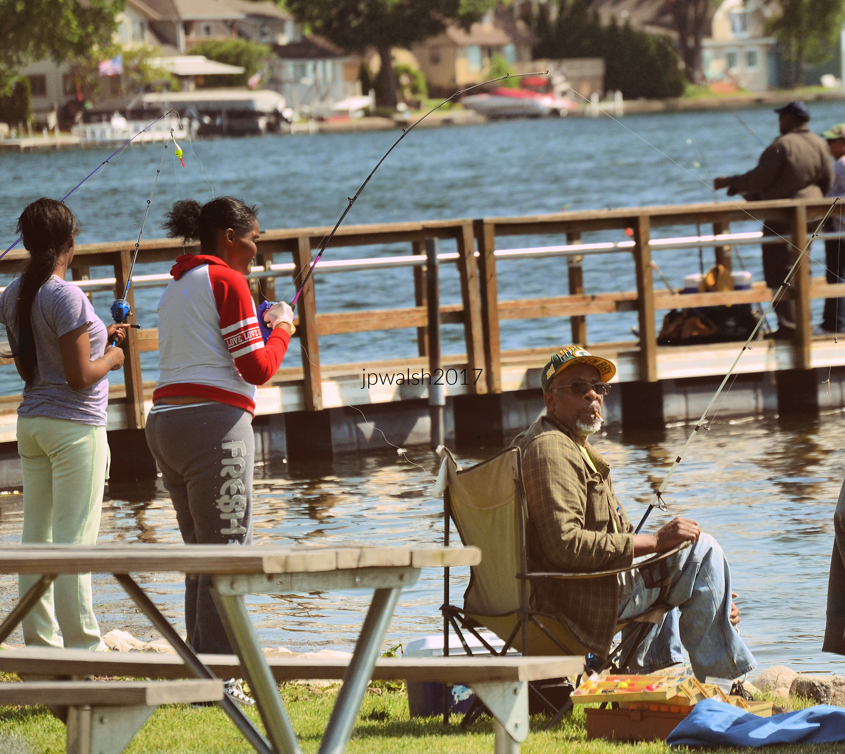
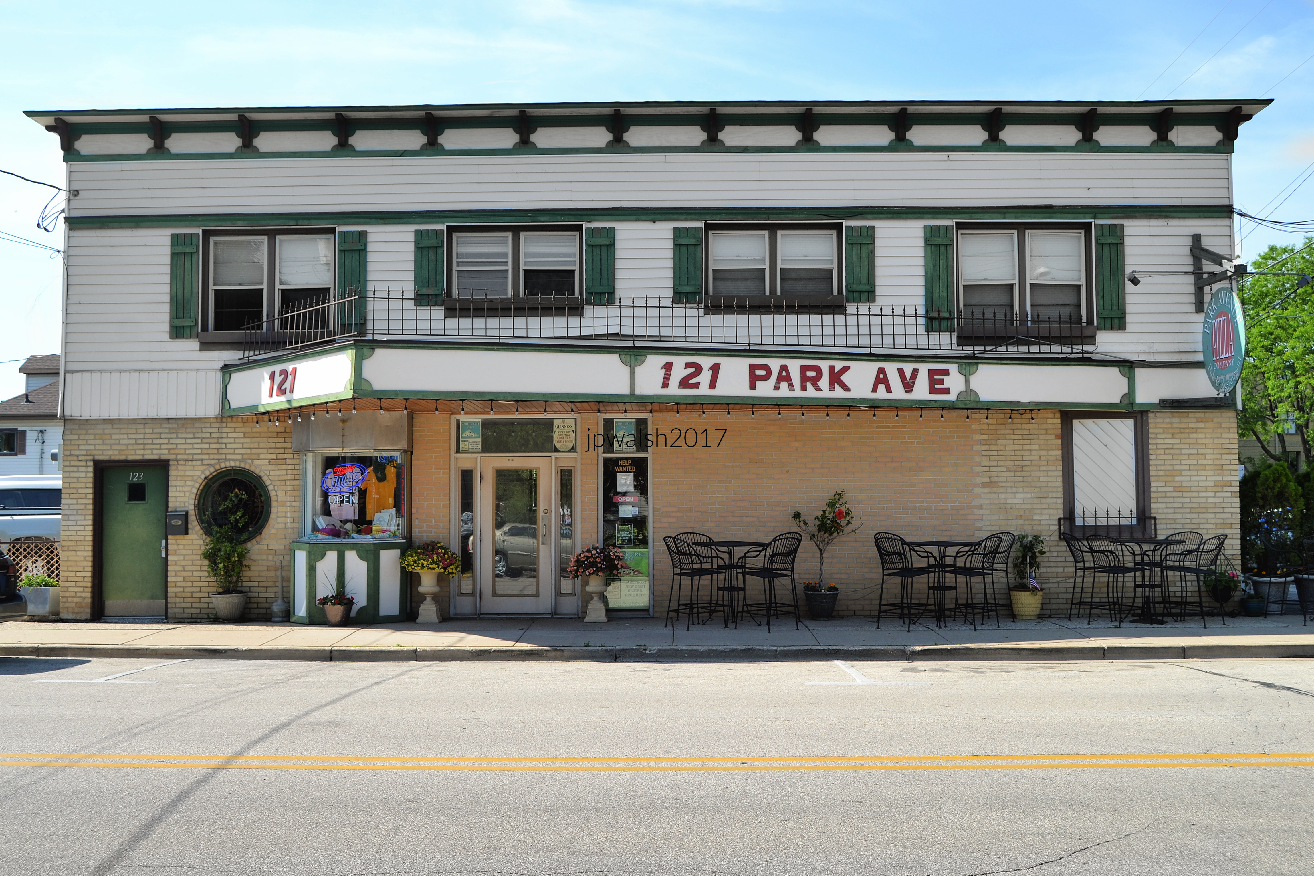
121 Park Avenue, Pewaukee, WI 53072. Opened in 1948 as the Lake Theatre, the venue closed in 1977. By 1983 the building reopened as Park Avenue Pizza Company restaurant. The ticket booth from the building’s days as a movie theater can still be seen under the canopy at left.
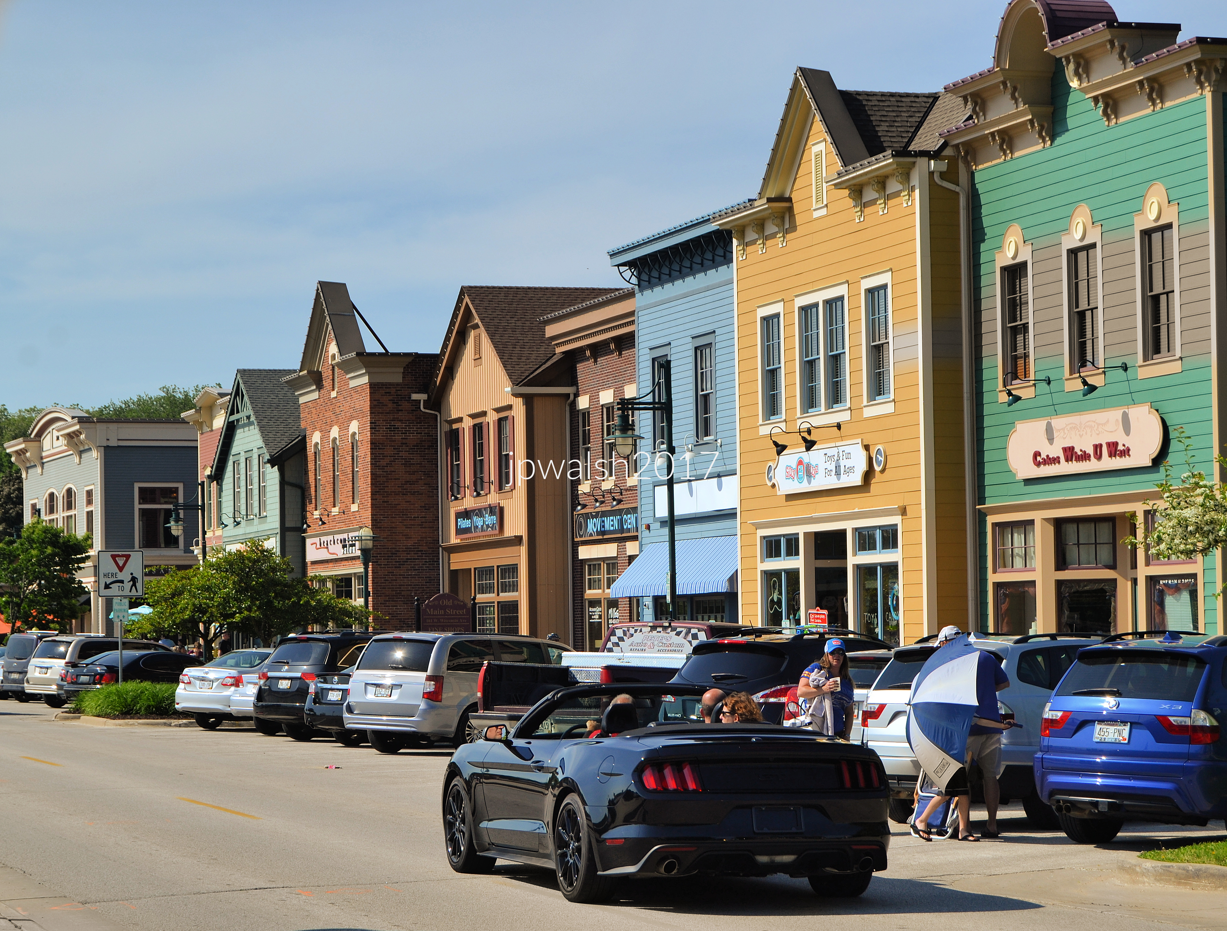

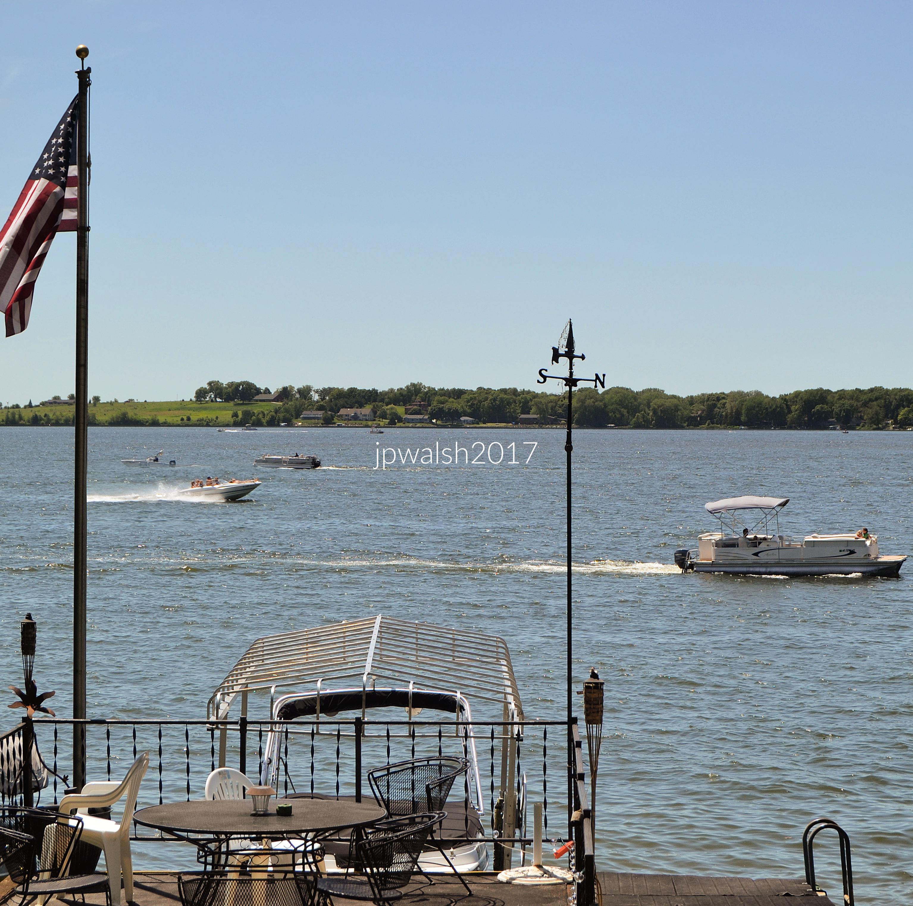


1552 US-52 Dixon IL. St. James Evangelical Congregational Church of Dixon, IL. Early churches in Dixon, IL, originated around 1836–1837, with Methodist and other denominations forming early congregations.


Freight rail today, Ottawa was historically a stop on the Chicago, Rock Island and Pacific Railroad.
Many Lutherans in and around Ottawa, IL, had been converted in Norway before emigrating to this country, but most of them came to life in God in the revivals that swept Northern Illinois in the first decades of the 1900’s. see – History – Bethel Lutheran Brethren Church – retrieved May 1, 2026.


“A stilt‑walking Uncle Sam takes tentative steps and sends a ripple of excitement through the crowd.”
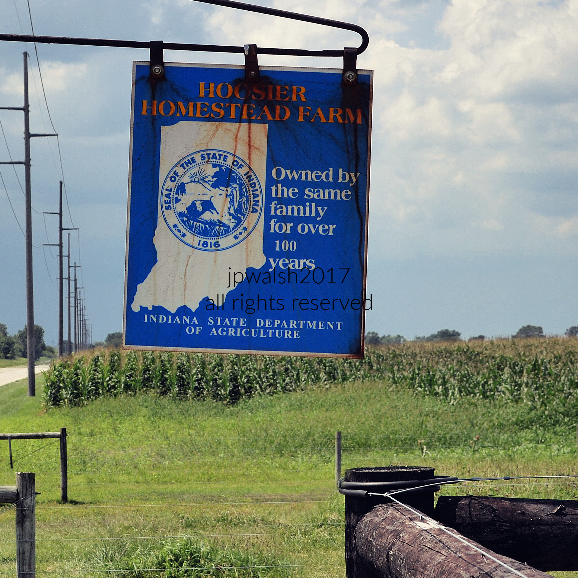


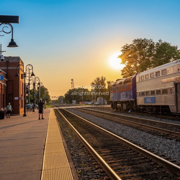
FEATURE image: July 2026. Metra, Westbound, BNSF Line. Photographs and text ©John P. Walsh.

Video of same run of Metra Locomotive 185 (above), westbound BSNF Railway Line, August 2022.


The Brown Line (also known as the Ravenswood Line) is part of the Chicago “El” or “L” rapid transit system. The Chicago public transportation train system offers a total of 8 color-named lines (Yellow, Red, Blue, Pink, Orange, Green, Purple, and Brown). All the lines begin in the downtown “Loop” and branch out from there in different directions throughout the city (except, of course, east into Lake Michigan).
The popular Brown Line travels over 11 miles from downtown Chicago to the north and west to the “Kimball” station in Chicago’s Albany Park. There are 27 stations on the Brown Line and the train runs entirely above ground. The Brown Line first opened in 1907.
https://www.transitchicago.com/visitors/ – retrieved June 30, 2021.
https://www.transitchicago.com/assets/1/6/ctamap_Lsystem.png – retrieved June 30, 2021.
https://en.wikipedia.org/wiki/Brown_Line_(CTA) – retrieved June 30, 2021.

Locomotive METX 183, EMD F40PH-2 was originally built for Metra by General Motors in September 1989 at their Electro-Motive Division (EMD) plant (now closed) in LaGrange, Illinois. see – http://www.rrpicturearchives.net/Locopicture.aspx?id=2727 – retrieved July 1, 2021.

Video of same run of Locomotive 183 (above). BSNF Rail Line, westbound. June 9, 2023.

Locomotive 194 was the first Metra locomotive after 2015 to be completely rebuilt and repainted just outside Patterson, Georgia at the Progress Rail plant. The first F40(PHM) rebuilt “like new” engines were returned to Metra service in September 2016.
The F40PHM locomotives were originally built for Metra by General Motors in 1991 at their Electro-Motive Division plant (now closed) in LaGrange, Illinois.
This locomotive features a short nose and sloped cab improving engineer safety in the event of a crash. These rebuilt locomotives are essentially a brand-new locomotive in their original 1991 frame.
The paint scheme for the F40 was developed by a Metra engineer for earlier rebuilds of Metra F59PH and MP36PH locomotives with slight variations.
These rebuilds offer internal systems that are an improvement over the original—this includes better emissions. Locomotive 194 and the 40 other F40PH-2 and F40PHM-2 locomotives that were under contract to be rebuilt for Metra in 2015 are expected to be in service until around 2030.
The total cost for these 41 rebuilt locomotives was $91 million—that is, about $2.2 million for each locomotive. That is contrasted to the cost of a brand new locomotive (about $7 million each). These F40 rebuilds, which serve mainly on the BSNF line, are familiarly called “Winnebagos” for their sleek style reminiscent of the recreational vehicles of that well-known manufacturer.
https://metrarail.com/about-metra/newsroom/the-signal/welcome-home-locomotive-194 – retrieved June 24, 2021.


Video of same run of Metra Locomotive194, westbound BSNF Railway Line, August 2022.